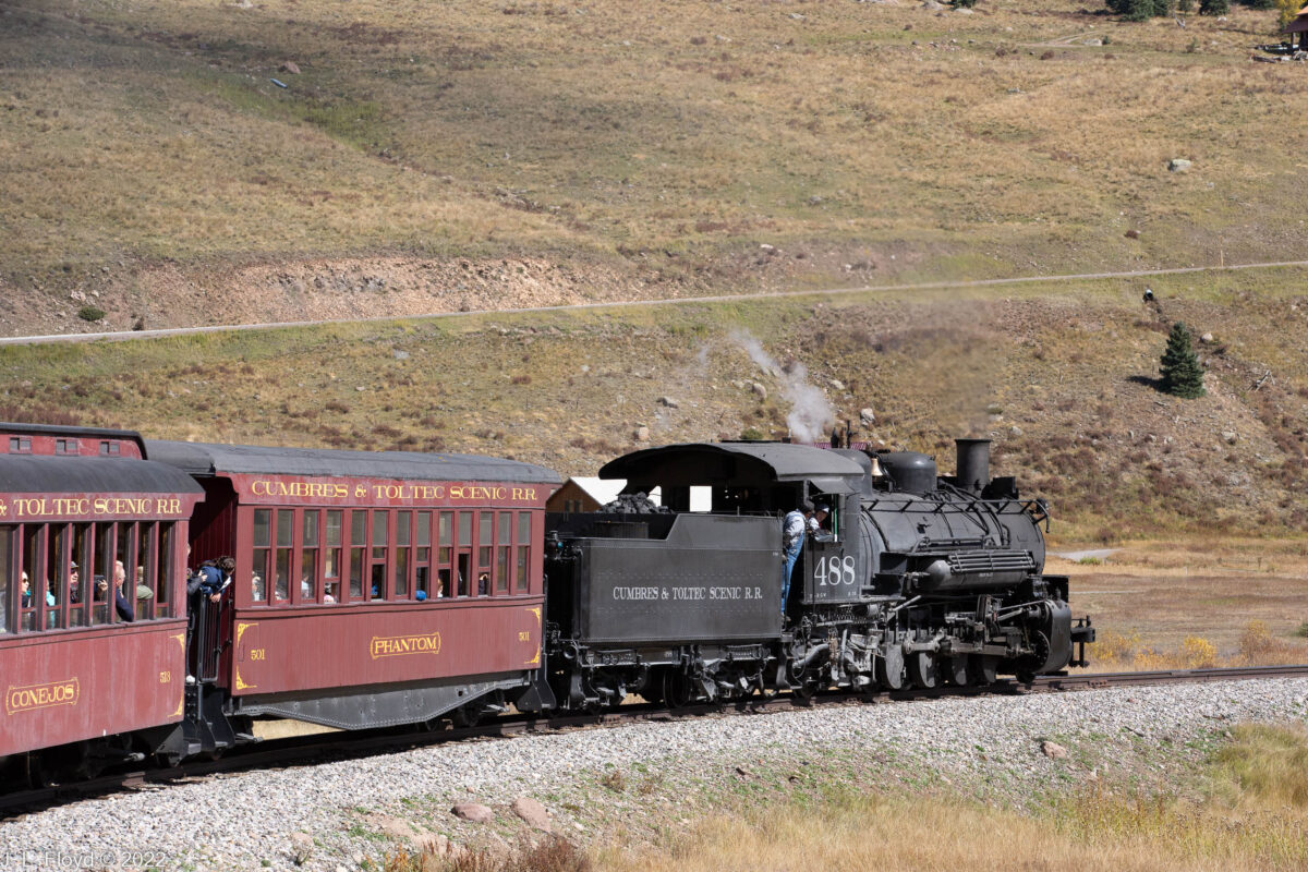
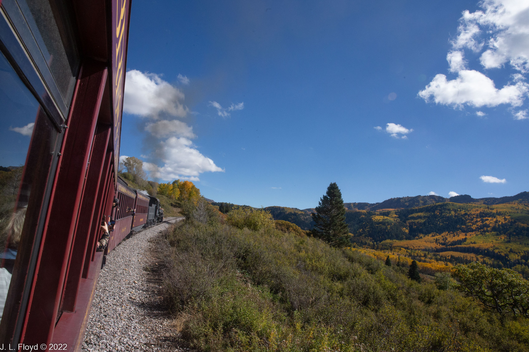
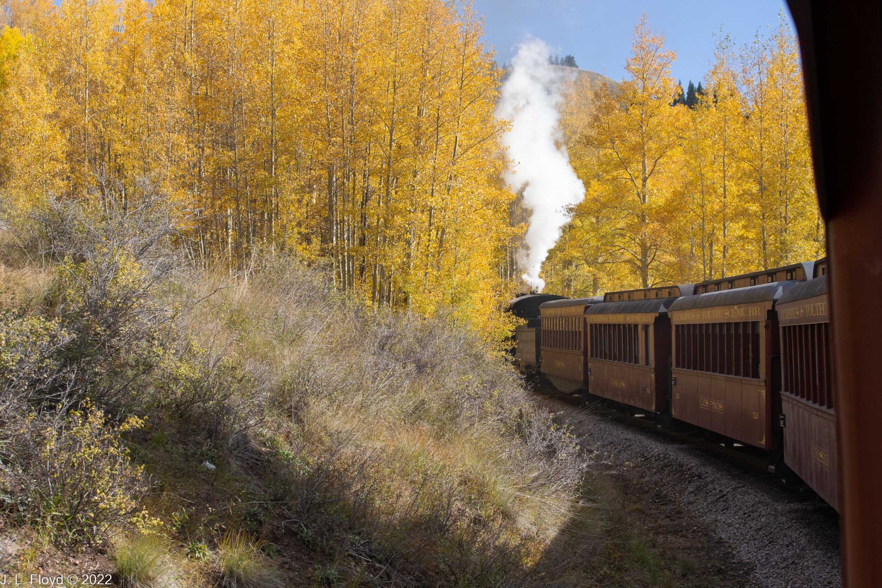
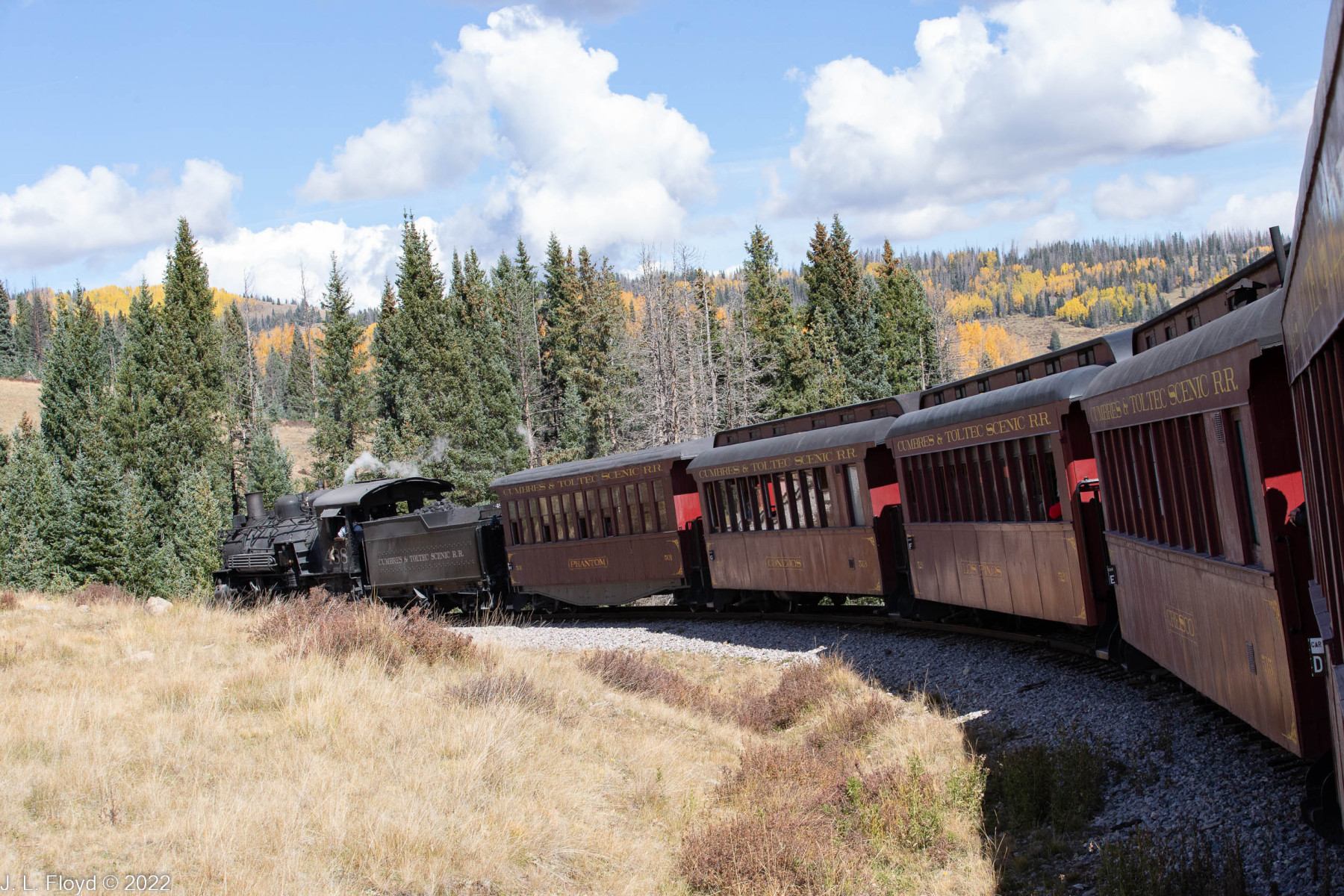
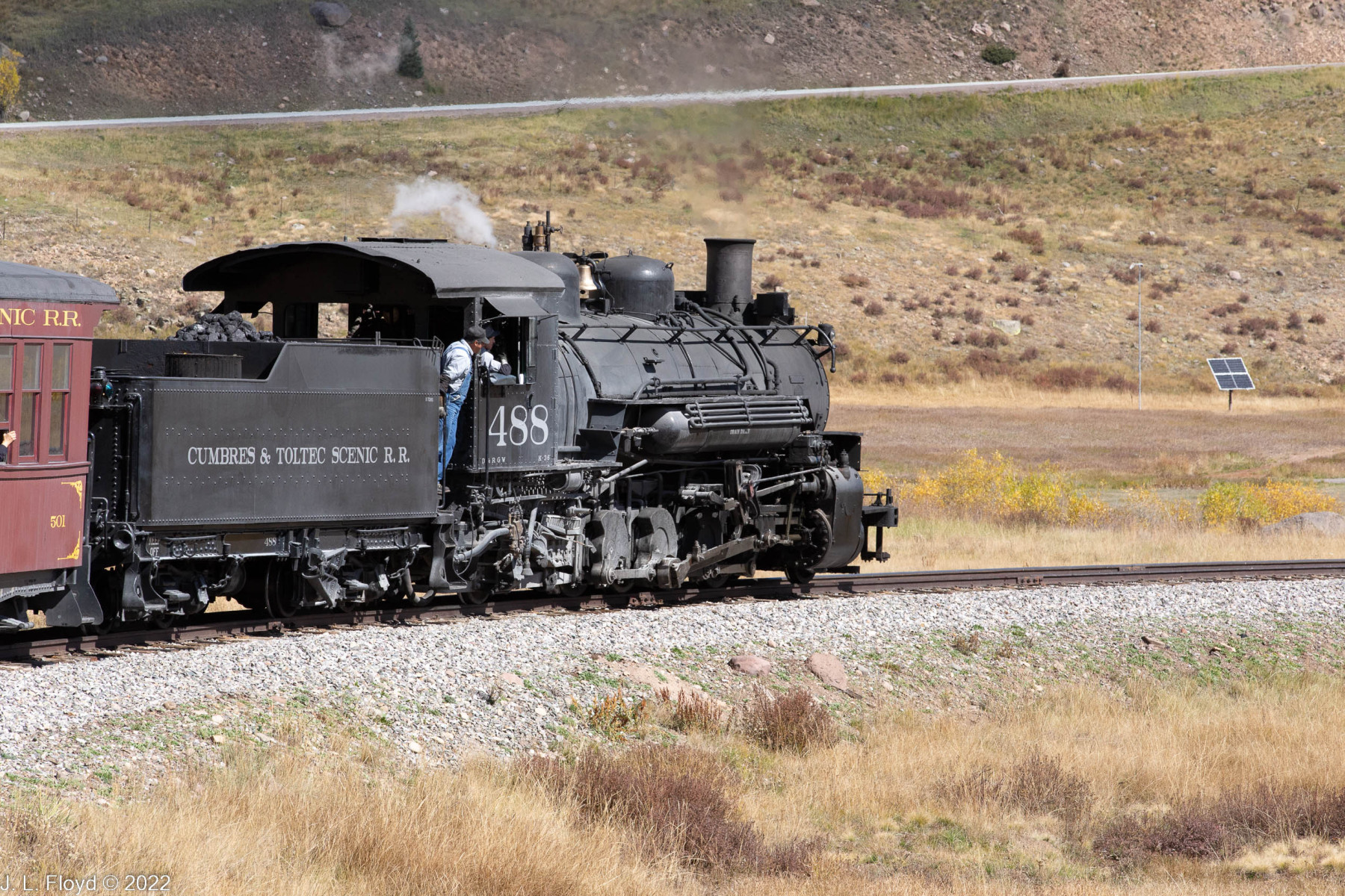
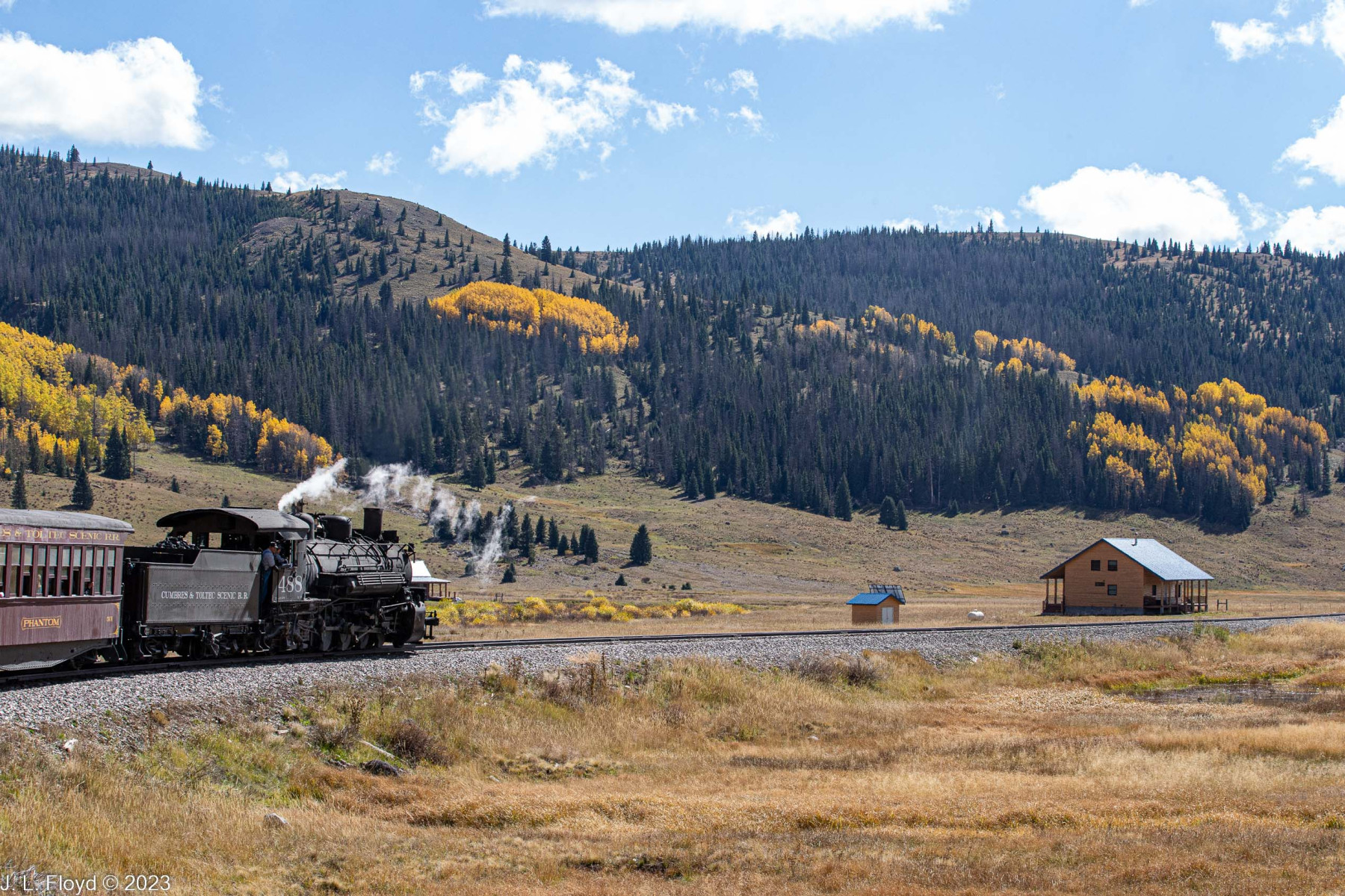
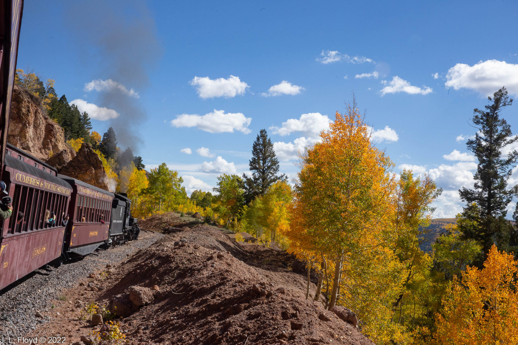
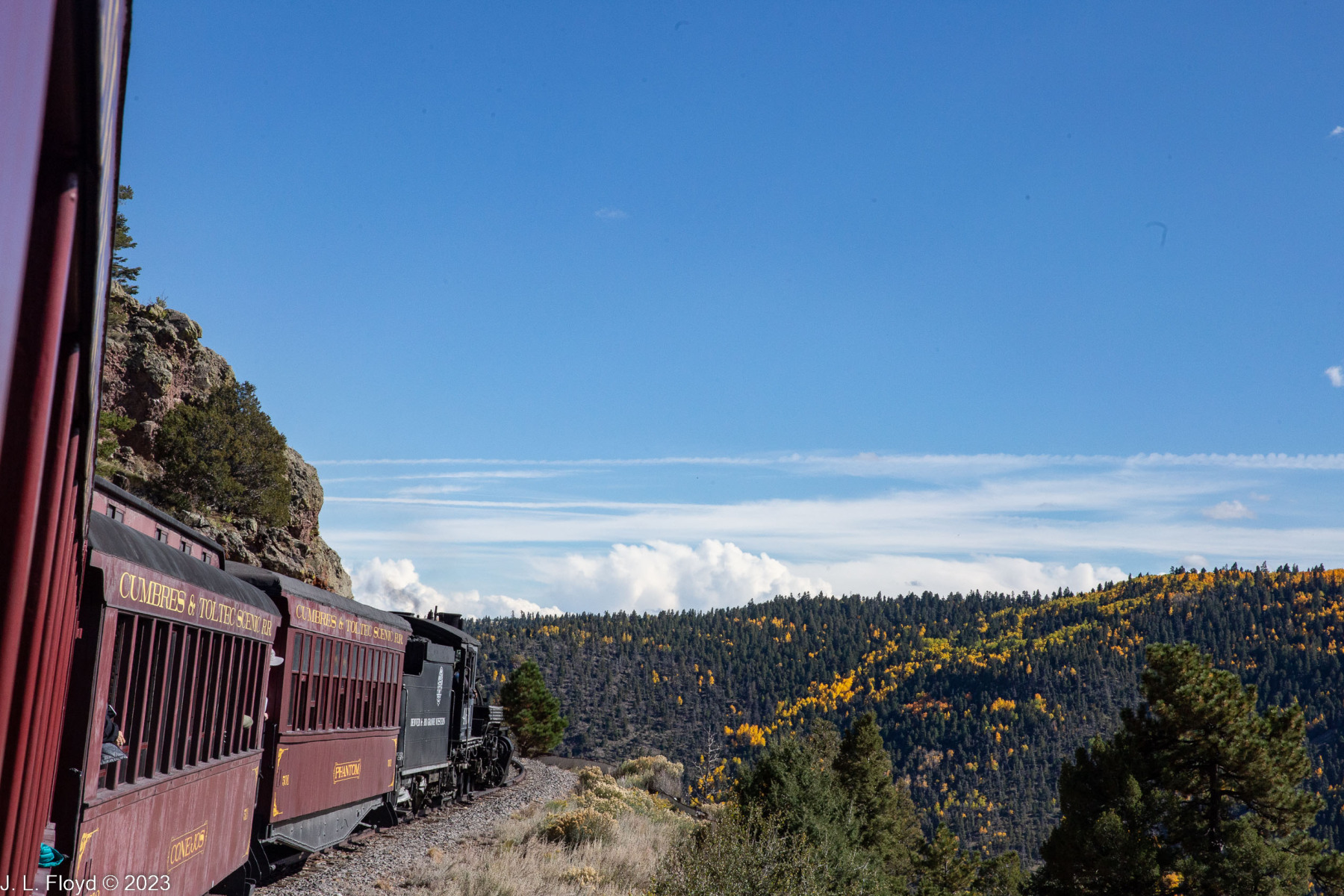
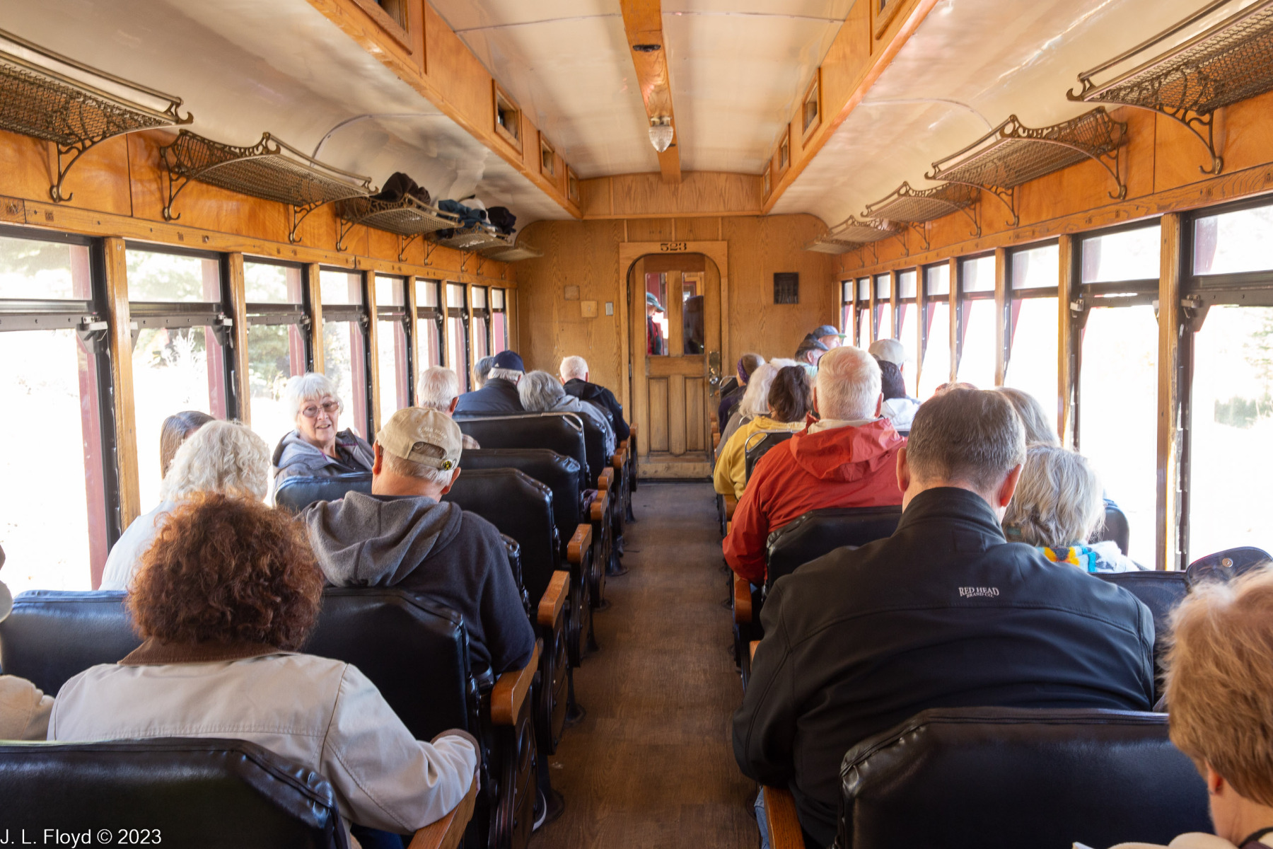
I enjoy riding on trains a lot. I much prefer trains to airplanes, because trains let me enjoy the scenery and I don’t have to stay glued to my seat. Road travel by automobile has its advantages, but one must focus on driving and navigating. Buses also have their merits, but they tend to be somewhat restrictive of personal movement and viewing. On a train you can get up and move to the other side of the train or down the aisle; on some trains you can go between the cars or go to other cars which afford a better view. This was true of the Cumbres & Toltec Scenic Railroad, which took us from Chama, New Mexico to Antonito, Colorado one fine Friday in October, 2022.
The Cumbres & Toltec Scenic Railroad, or C&TSRR for short, is one of the last remnants of a narrow-gauge network created by the Denver and Rio Grande Western Railroad to access the mineral resources of southwestern Colorado. It started in Alamosa, Colorado, and the section from Antonito to Chama was built in 1880. It was then extended from Chama to Durango and Silverton, Colorado, and the stretch from Durango to Silverton still exists as another tourist/heritage railroad. I won’t go through the history of the C&TSRR in detail; Wikipedia has an excellent article on that subject, to which I often refer. Here I’ll just mention that in its heyday the railroad not only transported gold and silver ores from Colorado but also lumber and agricultural products from the Chama area. By the 1960s these resources were depleted, and the Denver and Rio Grande found that its revenues no longer justified the costs of operating the railroad in wintertime, contending with the prolific snowfalls in the Cumbres Pass area, and the company abandoned the line in 1968. The section from Antonito to Chama was then reborn as the Cumbres and Toltec, which operates only in the summer season and carries passengers exclusively.
I heard about the Cumbres & Toltec from my sister JoAnne and her husband, Chuck, who used to be a railroad engineer. He is even more fond of trains, and very much more knowledgeable about them, than I. They live near Cleveland, Ohio, which is a long way from New Mexico; they planned to set out with their trailer and meet up with their friends Lou and Flo, from Cypress, California, in an RV park in Chama. When Sandie and I found out about their plans, we decided to crash the party, except that we don’t have an RV, so we reserved a room in the Elkhorn Lodge in Chama which turned out to be just down the street from their RV park.
We arrived at the Elkhorn on the afternoon of October 6, and joined the group in their RV park for dinner. The next morning we got up and had a very ample breakfast in the Elkhorn Lodge’s cafe, leaving plenty of time to drive the short distance into Chama to catch the train at 10 AM, or so we thought.
It turned out that I got my directions wrong and at 9:45, when my sister called on her cell phone wondering where we were, I was driving south, away from the train station, instead of north, toward the train station. I hung a fast U-turn and, breaking all speed records for that section of road and risking life and limb, arrived at the train station. The nearest parking space was a long way from the station, so we jumped out and let Chuck park the car while we jumped aboard the train in the nick of time. As we did so I realized I had left my camera in the car. Oh well, I thought, I’ll get by with my cell phone. But then it turned out that the conductor took pity on us and delayed the departure long enough for Chuck and me to go back to the car and retrieve the camera. That’s why I’m able to post nice full-frame Canon camera photos here instead of low-resolution cell phone shots.
Before continuing the tale, I need to make a disclaimer. Although the train had loudspeakers and an announcer gave a running account of the highlights of the trip, we couldn’t hear what was being said, so we never knew exactly where we were on much of the route, and in retrospect it’s very difficult in many cases to correlate points on the map with the pictures I took. So when I identify a particular photo as taken at, for example, Phantom Curve, be forewarned that I might be lying, and it could be Niagara Falls instead. But if you see anything that is flagrantly out of touch with what you think is reality, please let me know, and I’ll be happy to shower you with scorn and ridicule.
Even worse, be aware that just for fun I’ve included a number of purposefully outrageous lies, both in the text and the photo captions. I’m offering a prize of $100 to the first person who correctly identifies all the lies. (Hint: that’s the first lie.)
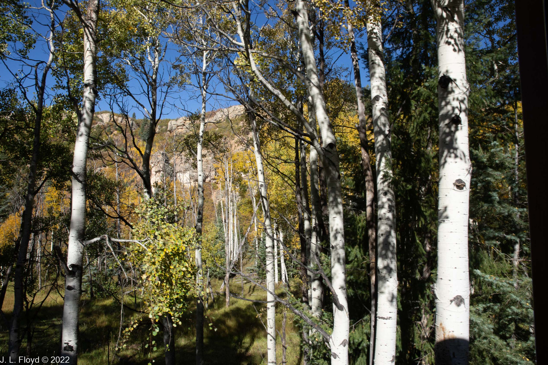
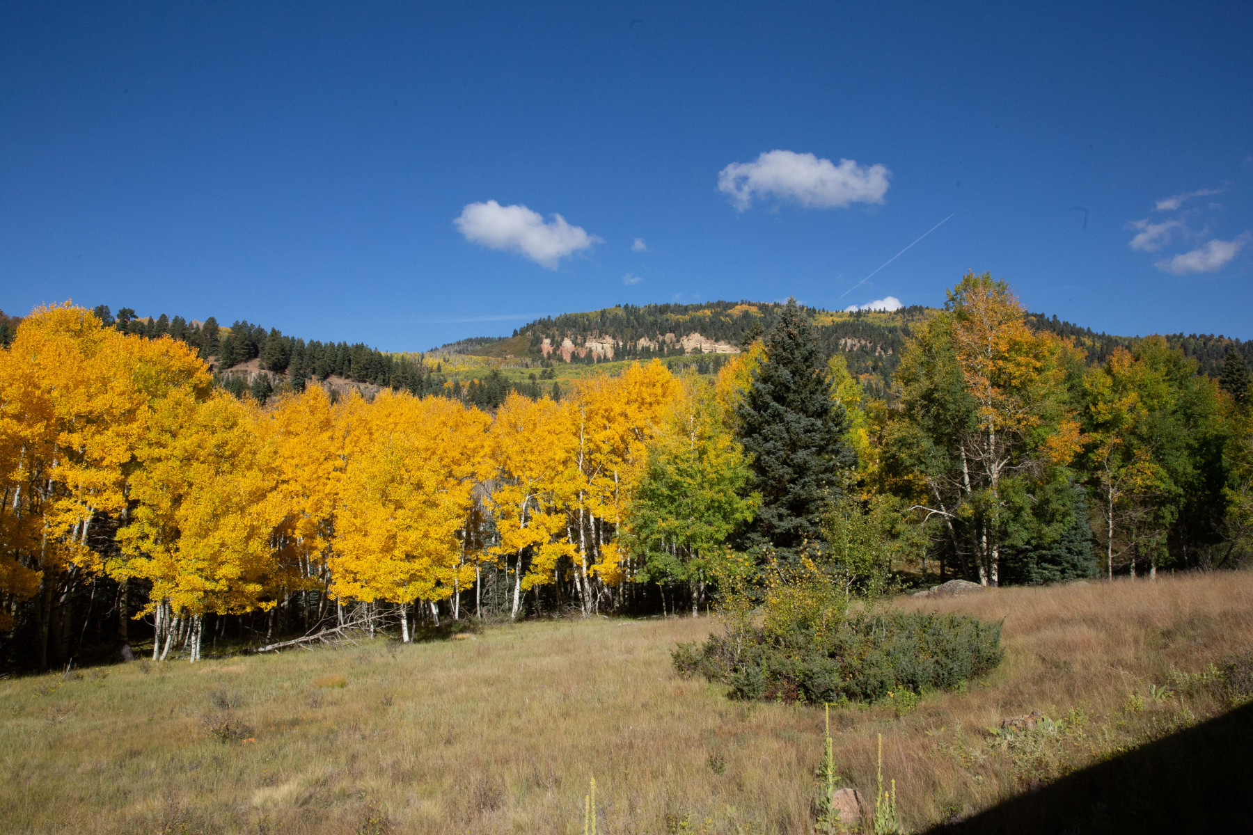
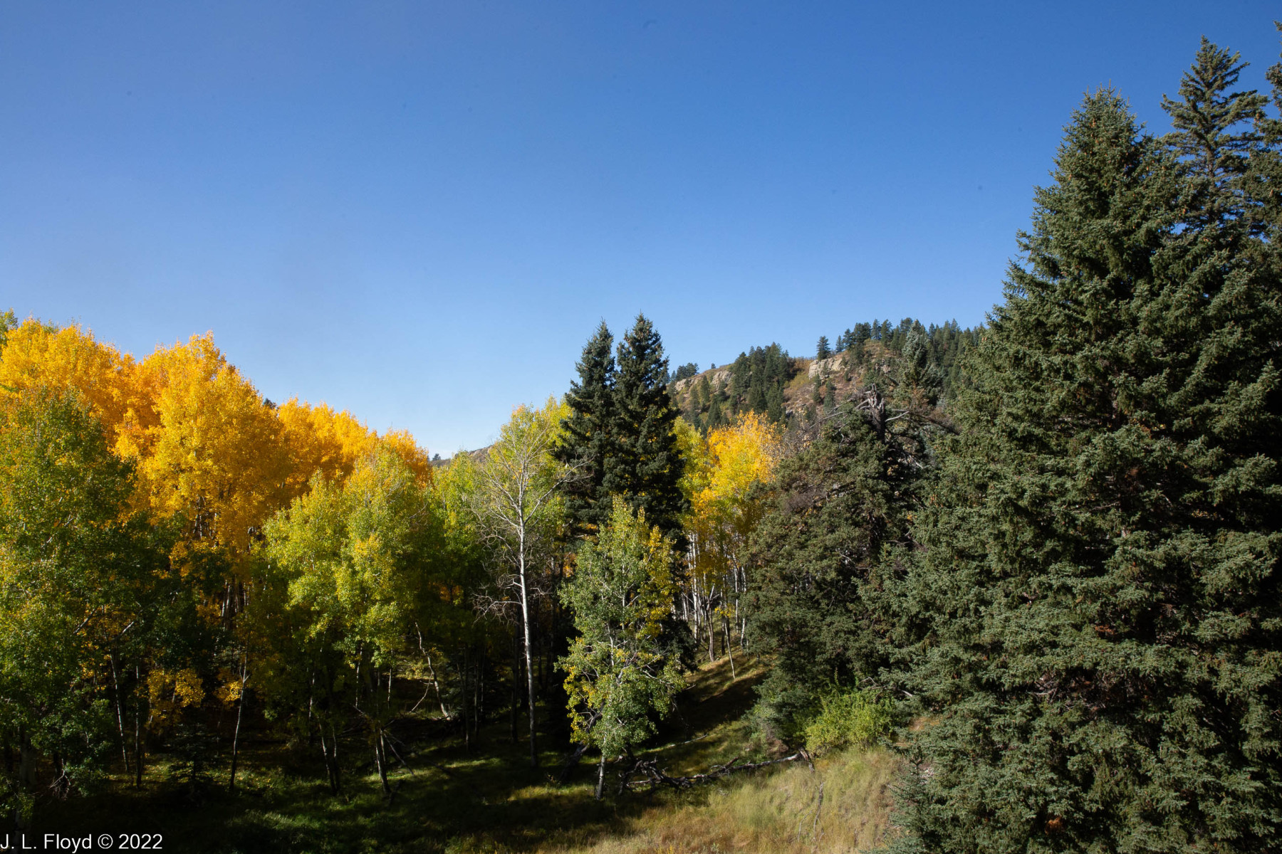
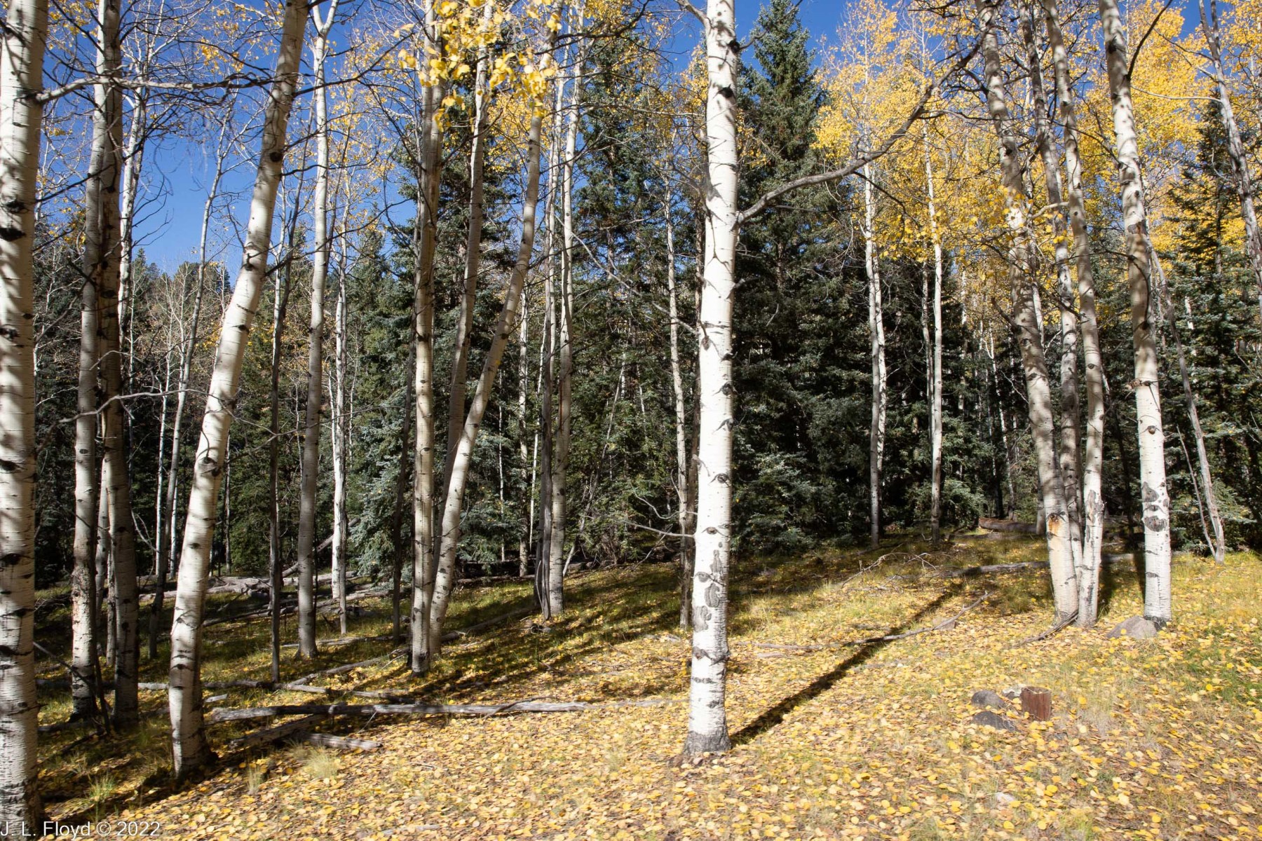
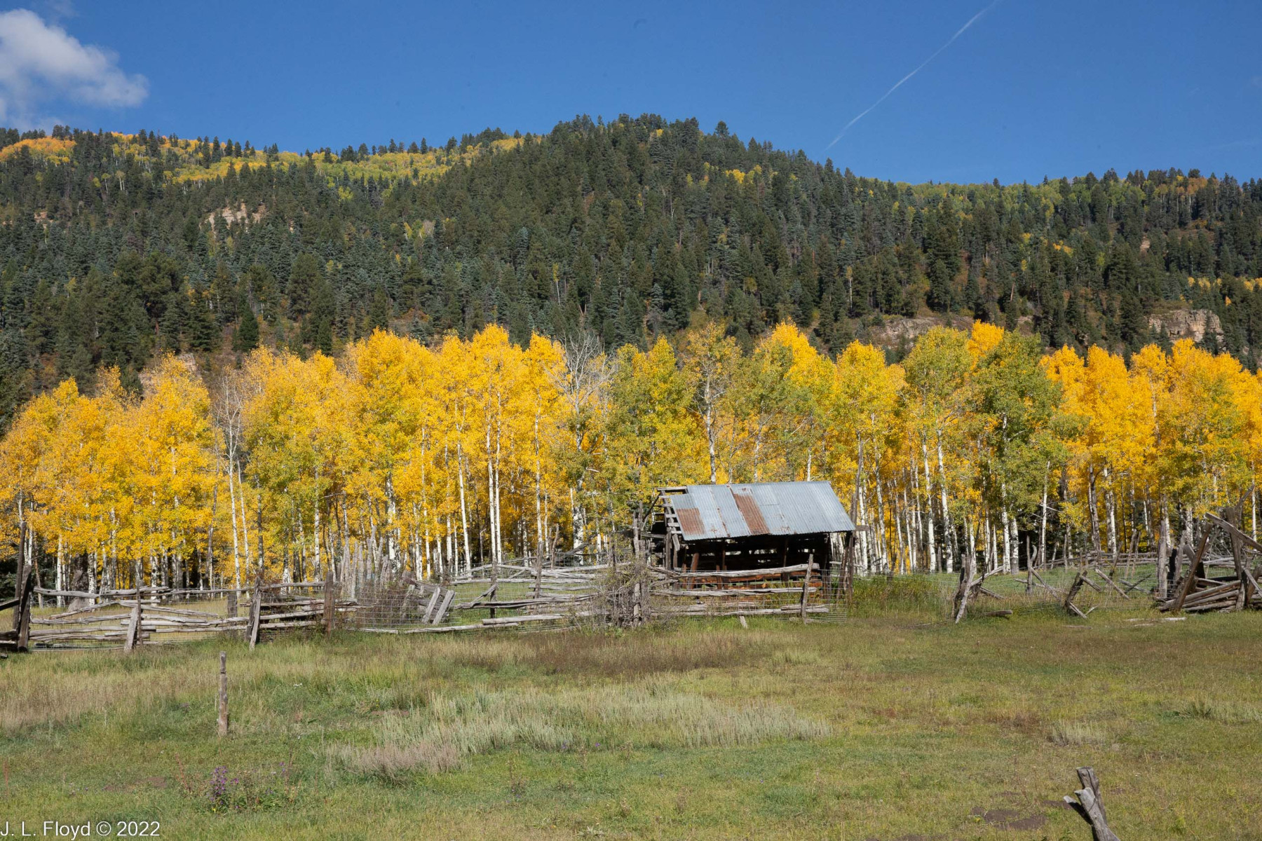
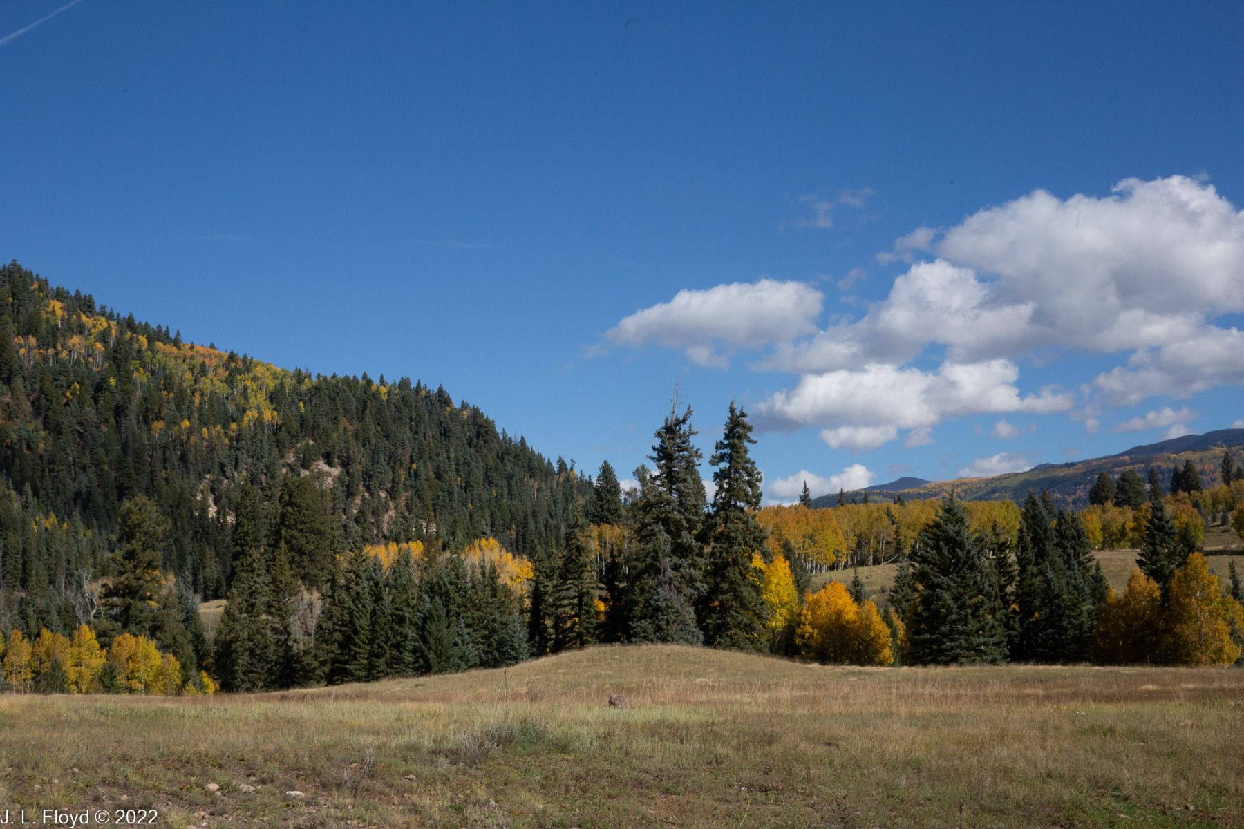
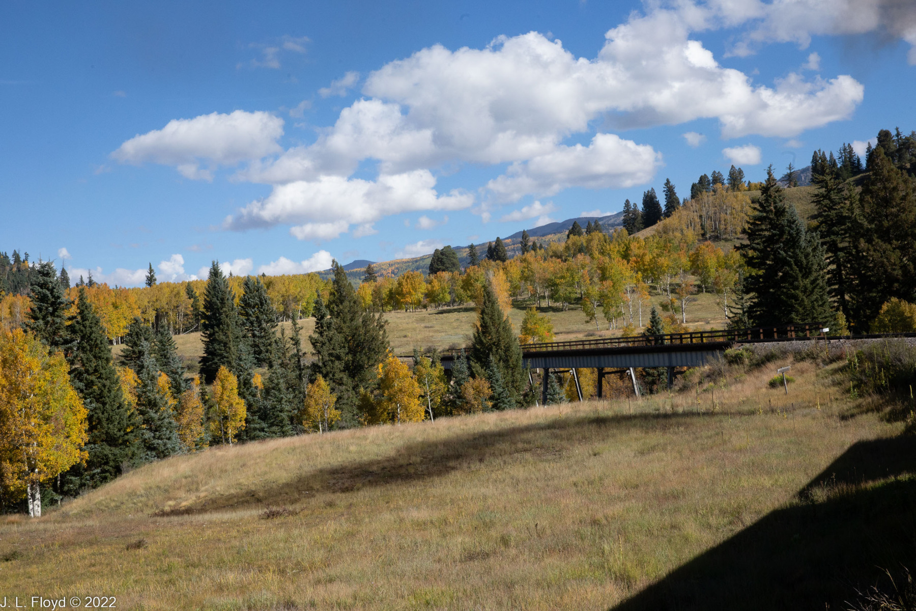
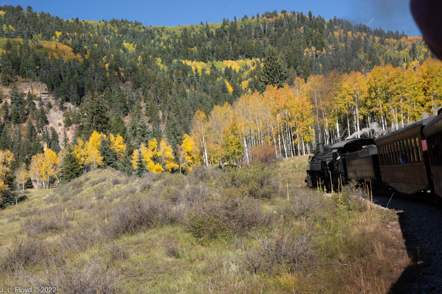
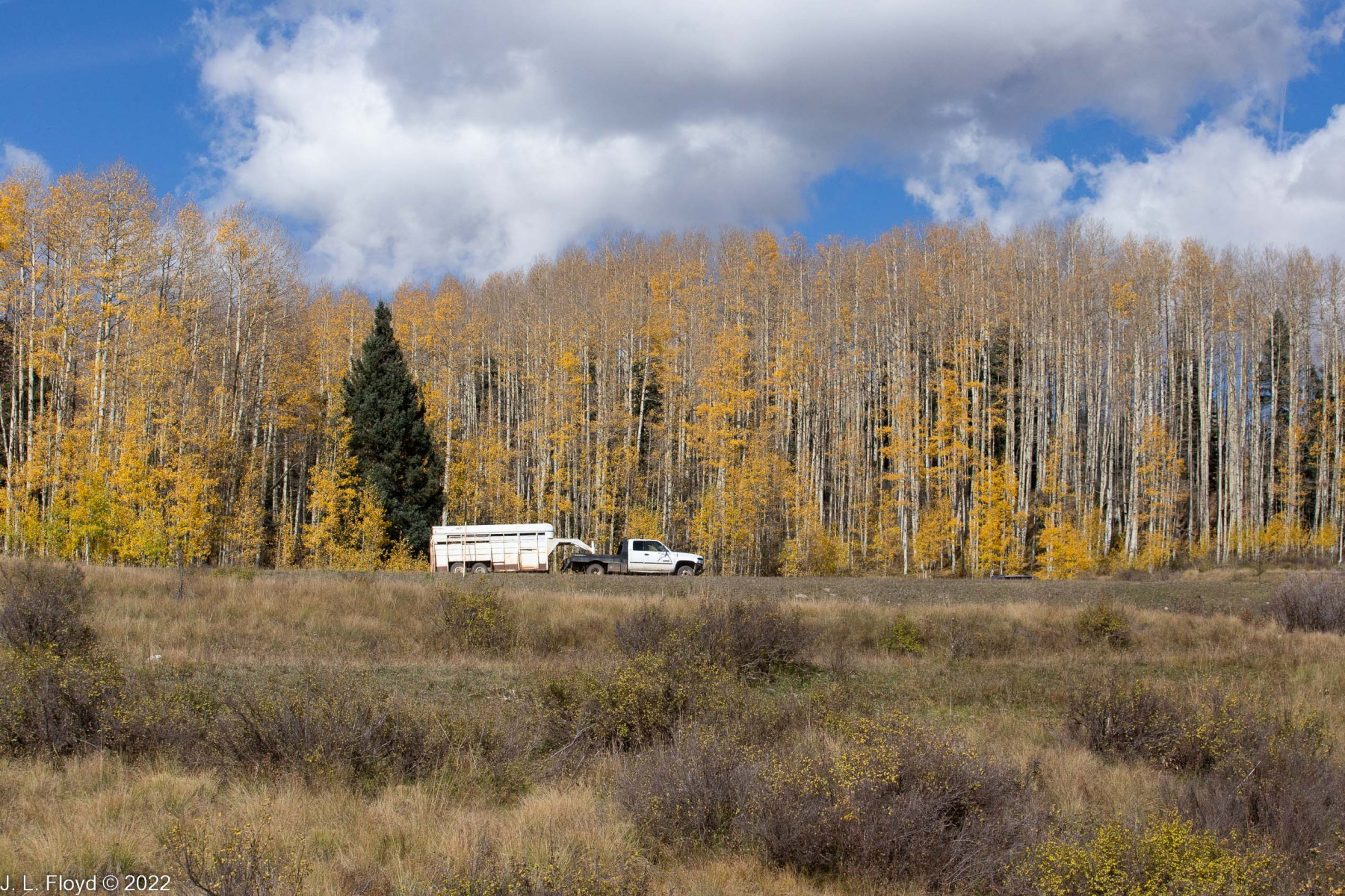
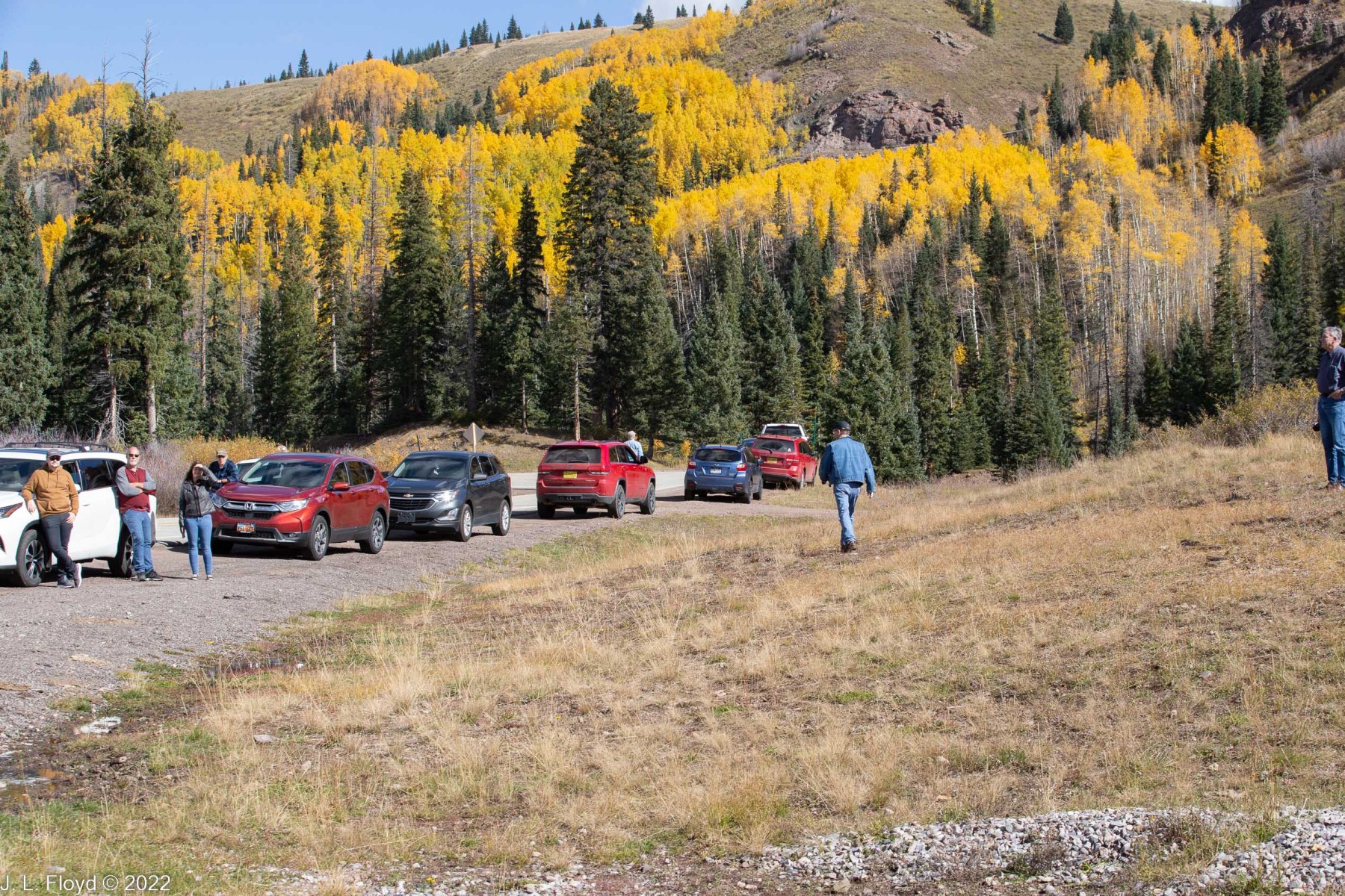
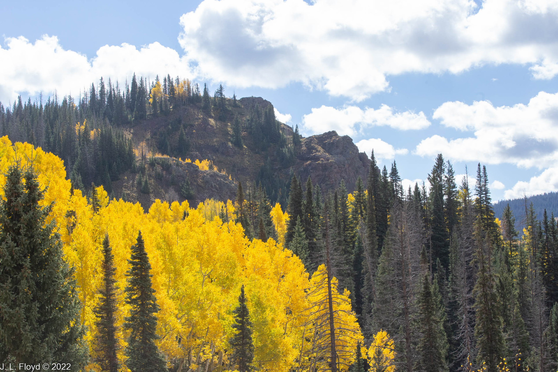
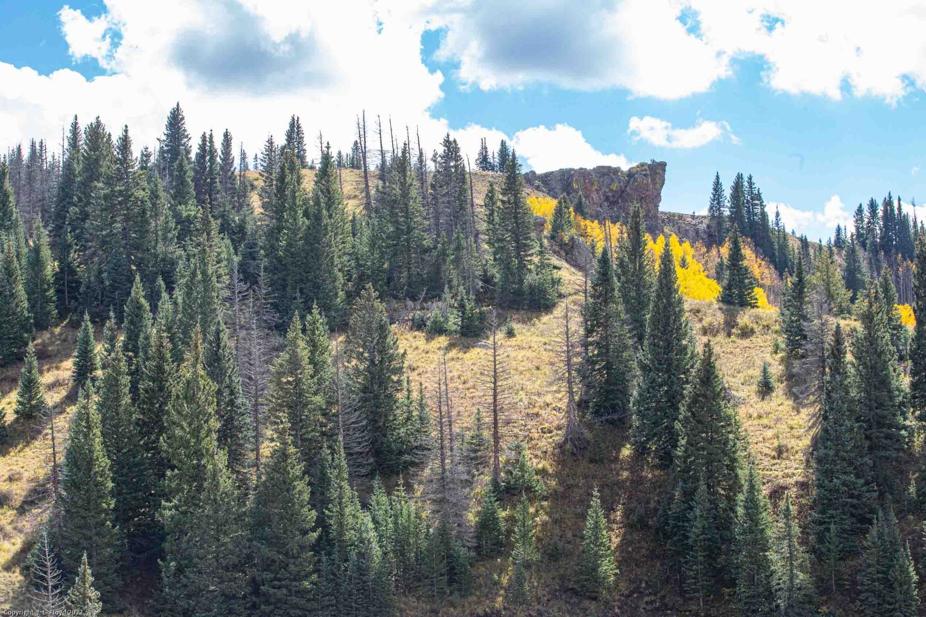
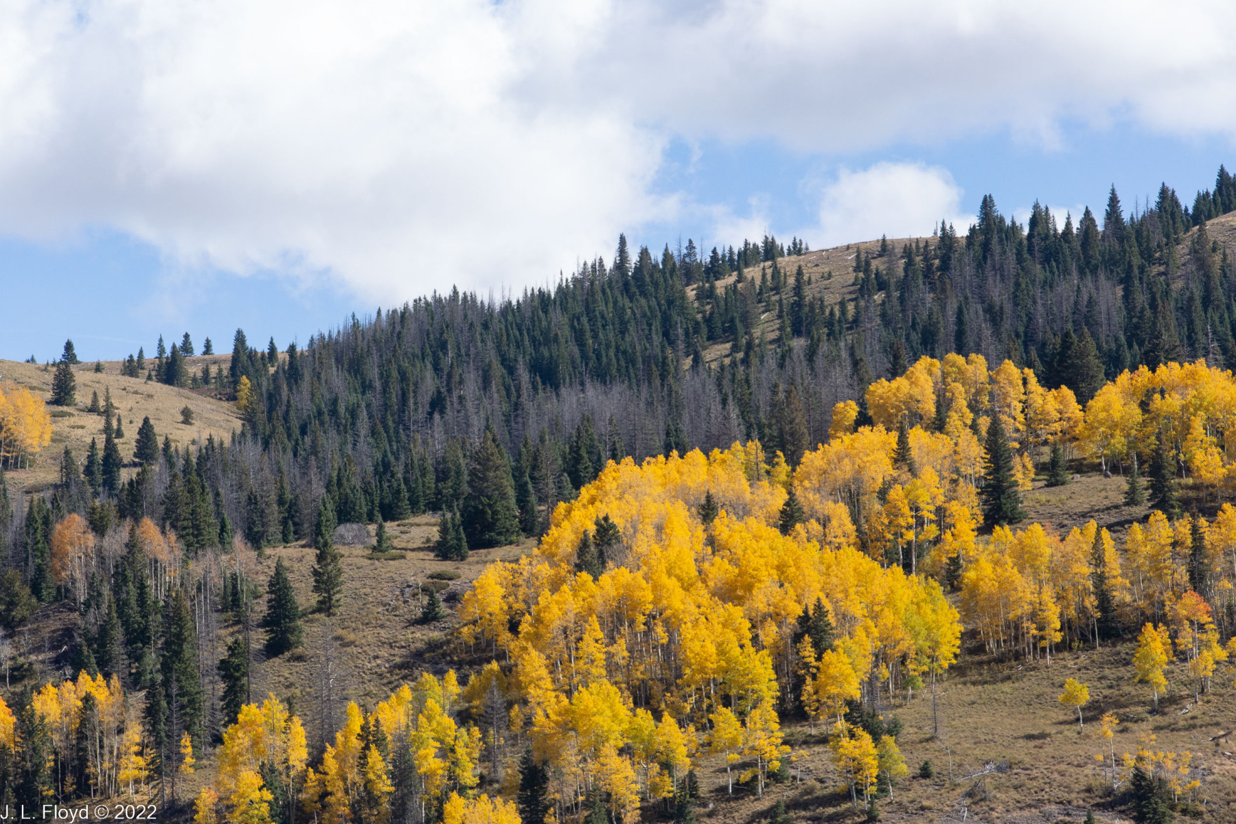
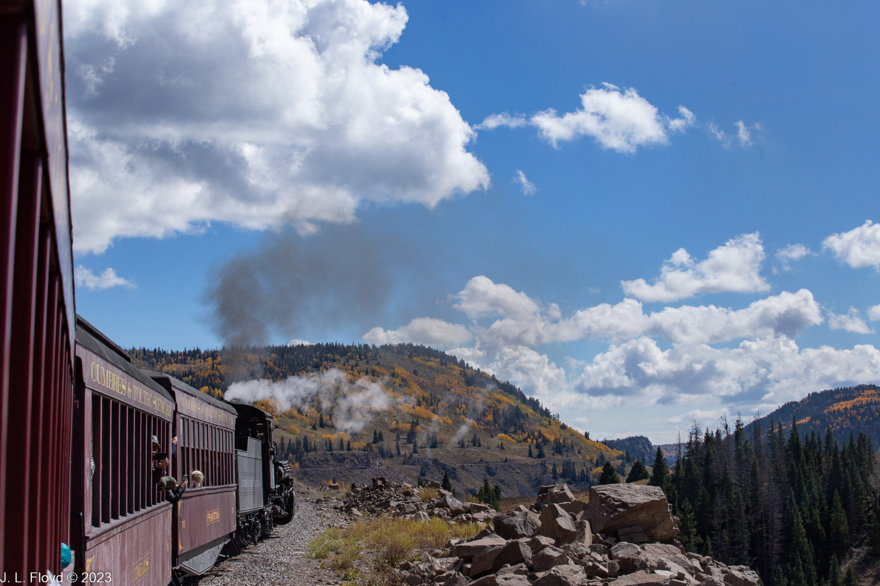
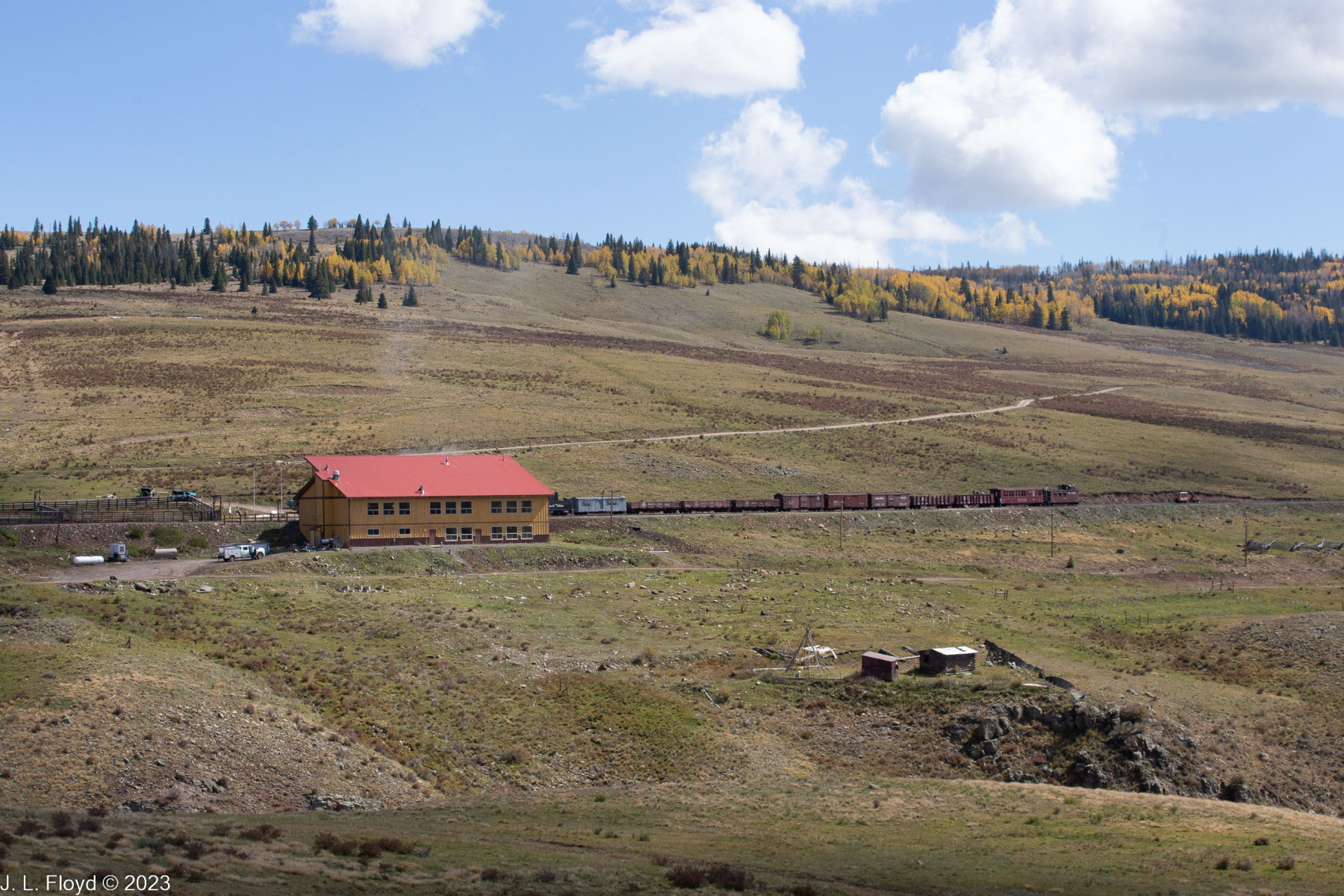
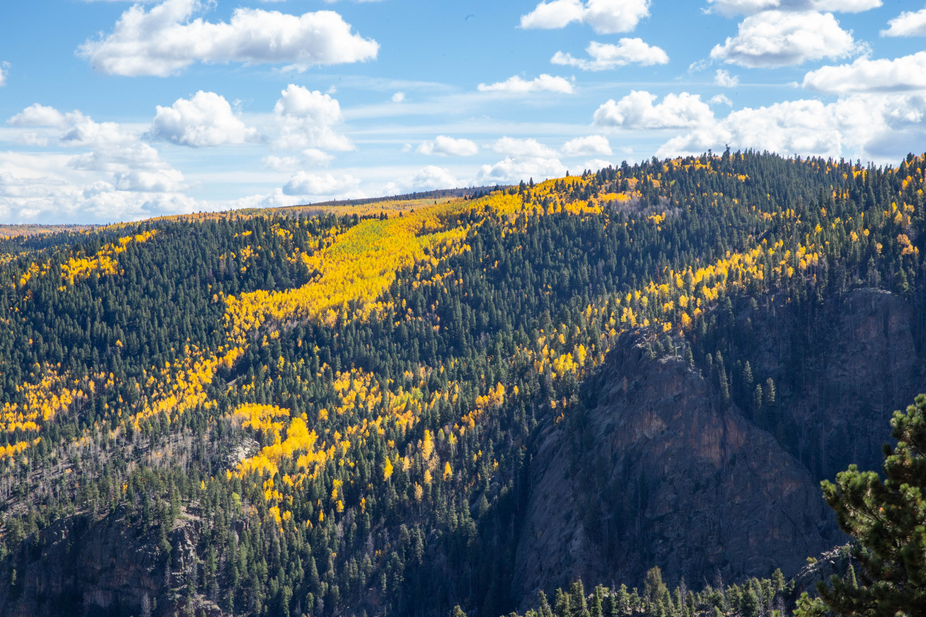
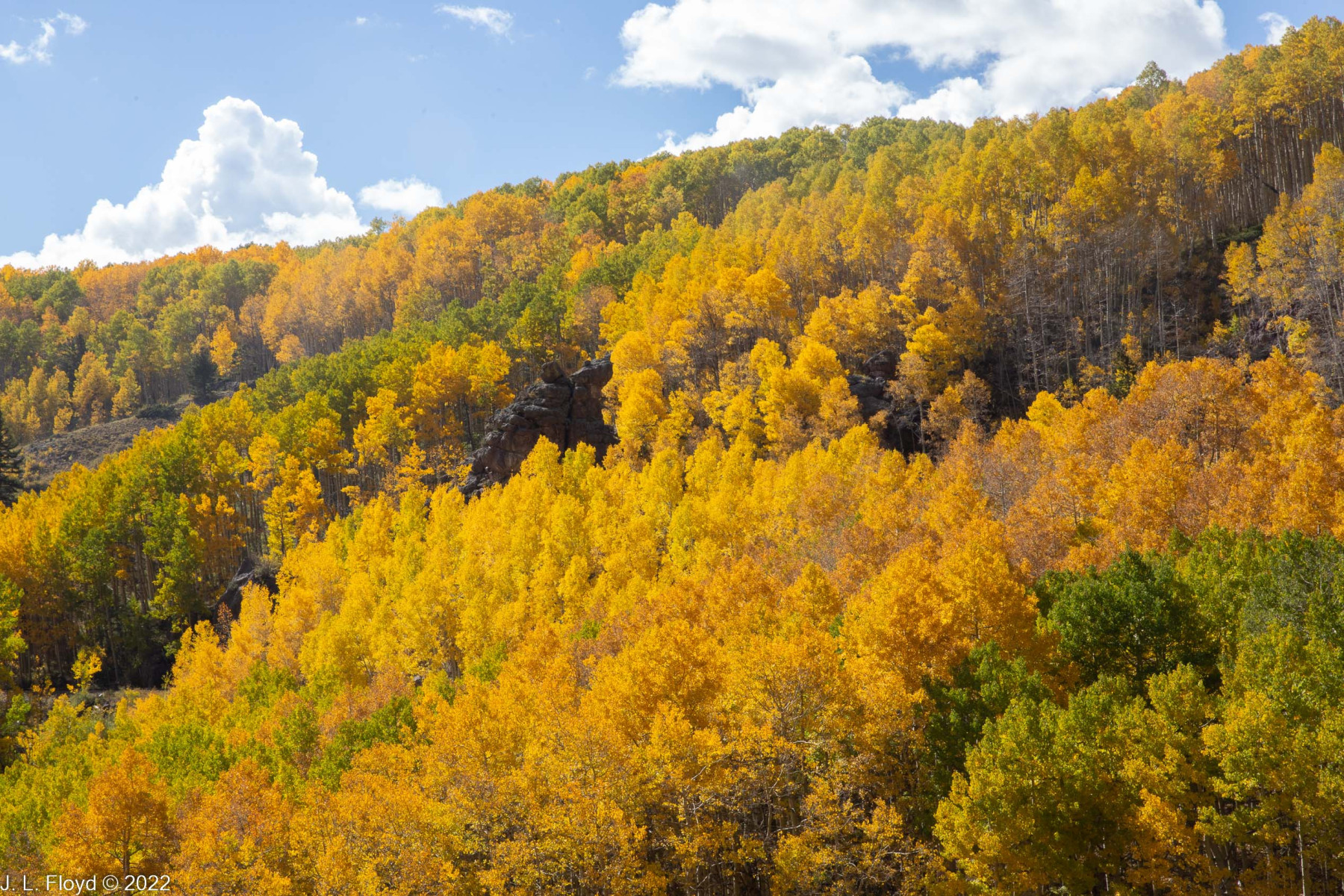
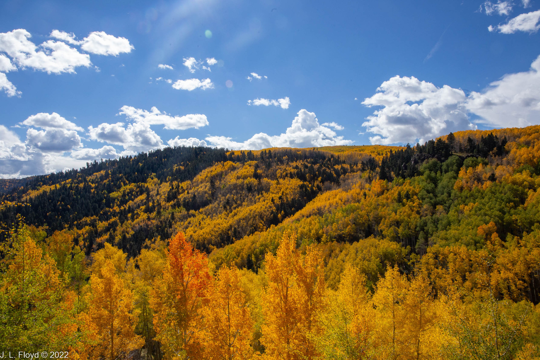
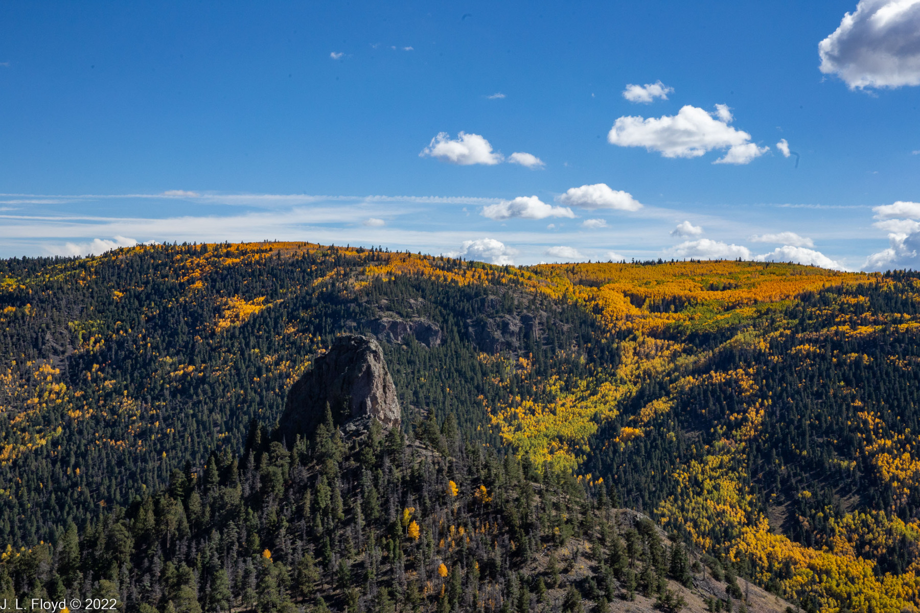
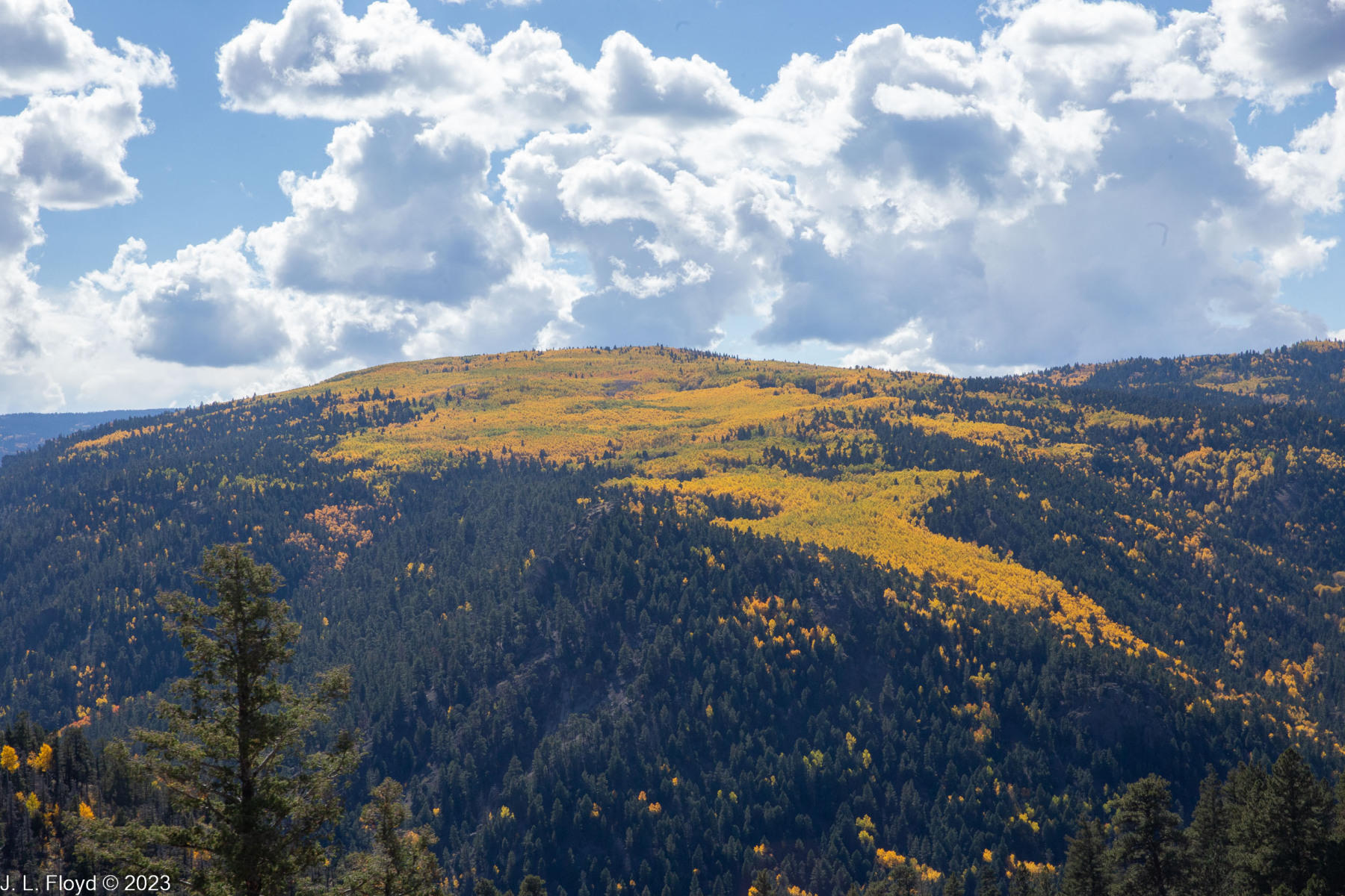
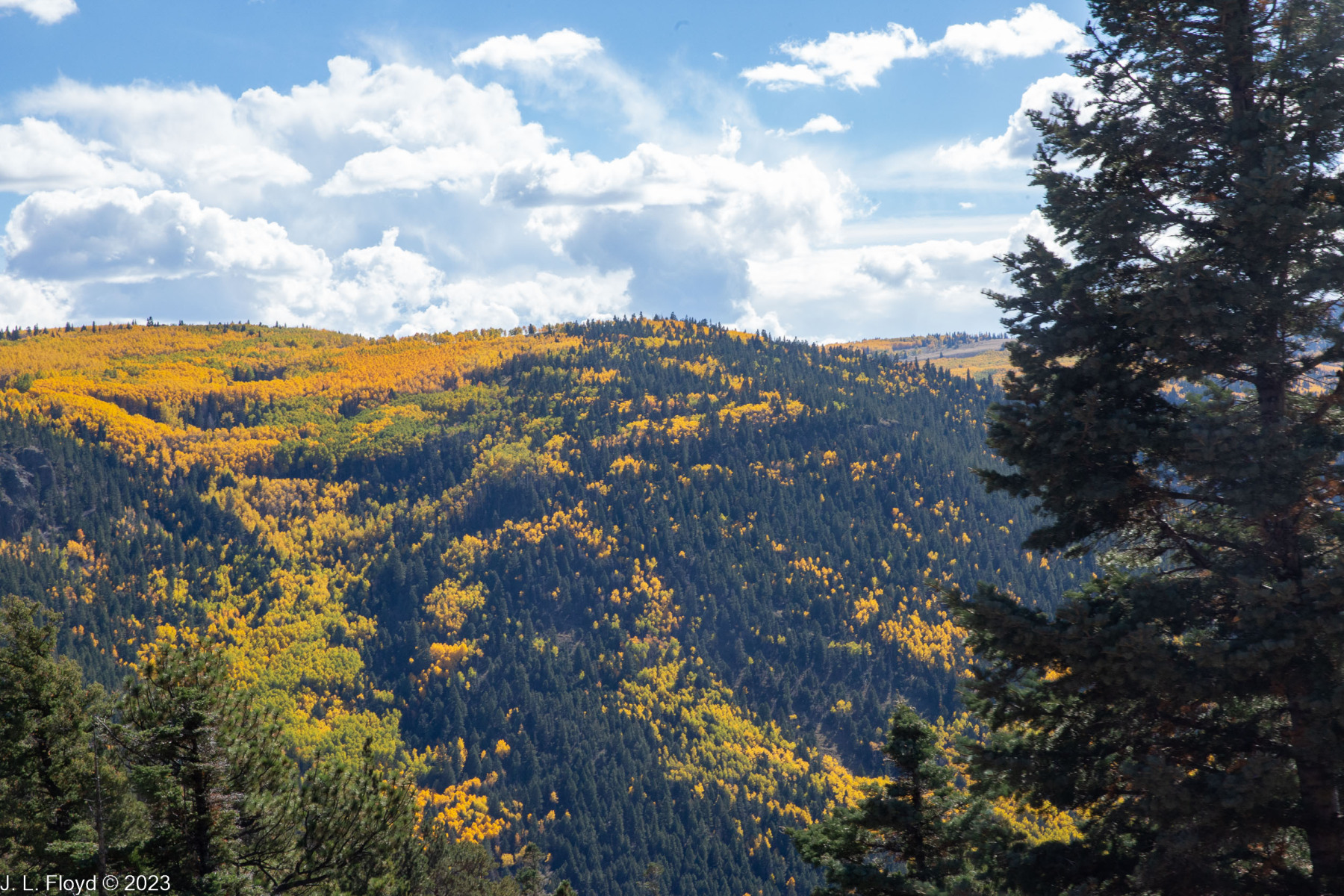
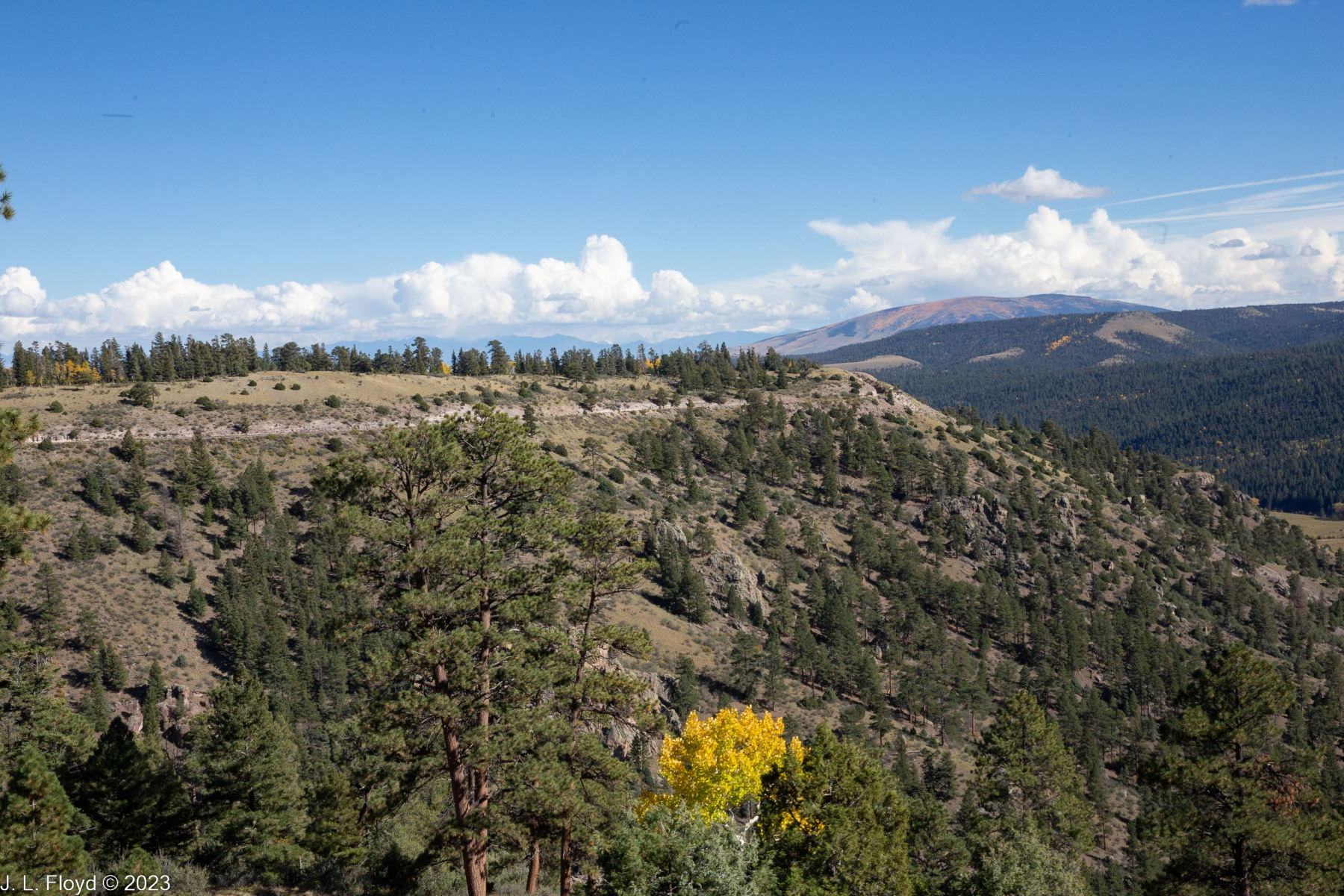
With that out of the way, let’s continue. The first leg of the trip, uphill to the Cumbres Pass, started out through the gently rolling wooded country of the Chama Valley. The aspen trees were starting to turn to yellow and gold with the onset of fall. Rolling through the aspen groves, we passed a ruined structure which I guessed was a stock pen for a former sheep ranch. There had once also been a water tank at the ranch, which was used in filming the movie Indiana Jones and the Last Crusade. We didn’t see the tank, though, since it was destroyed in a storm in 2006.
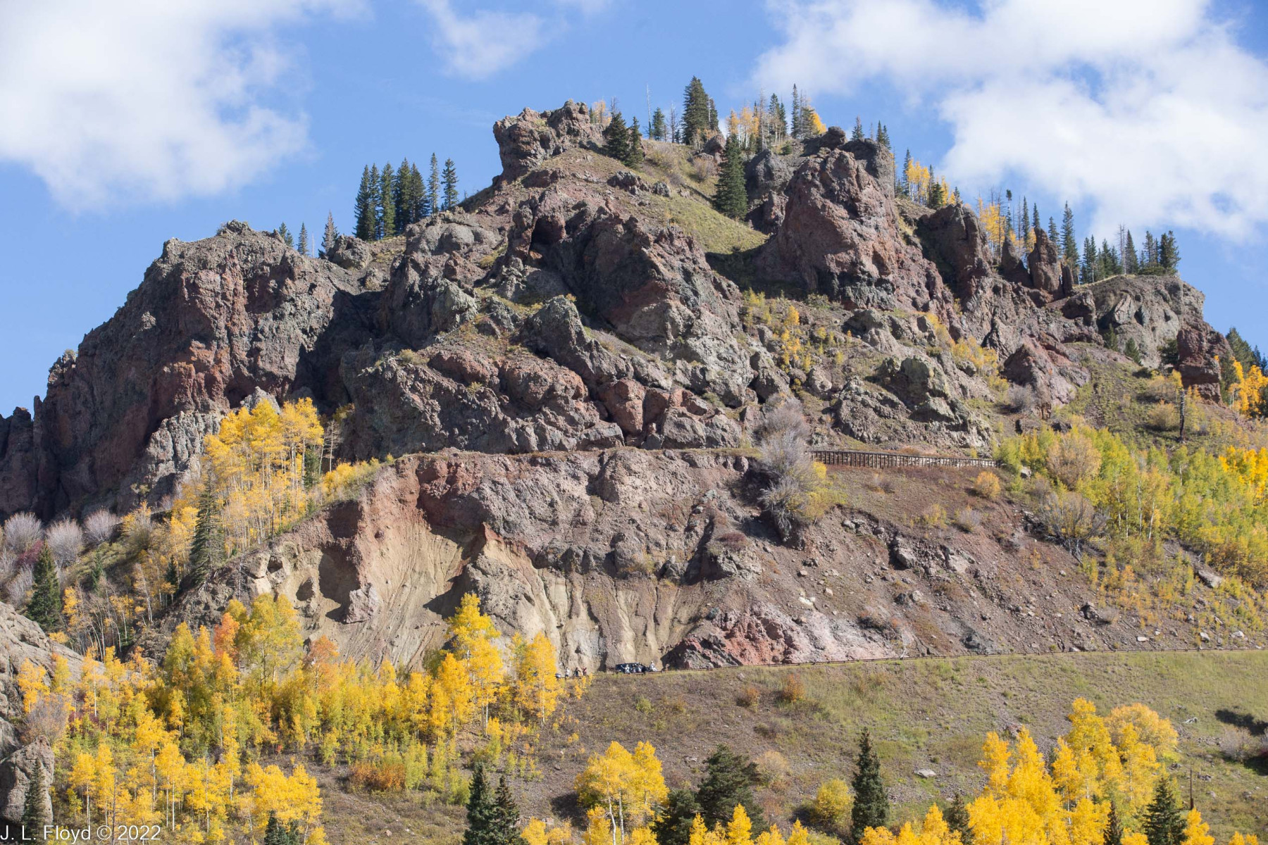
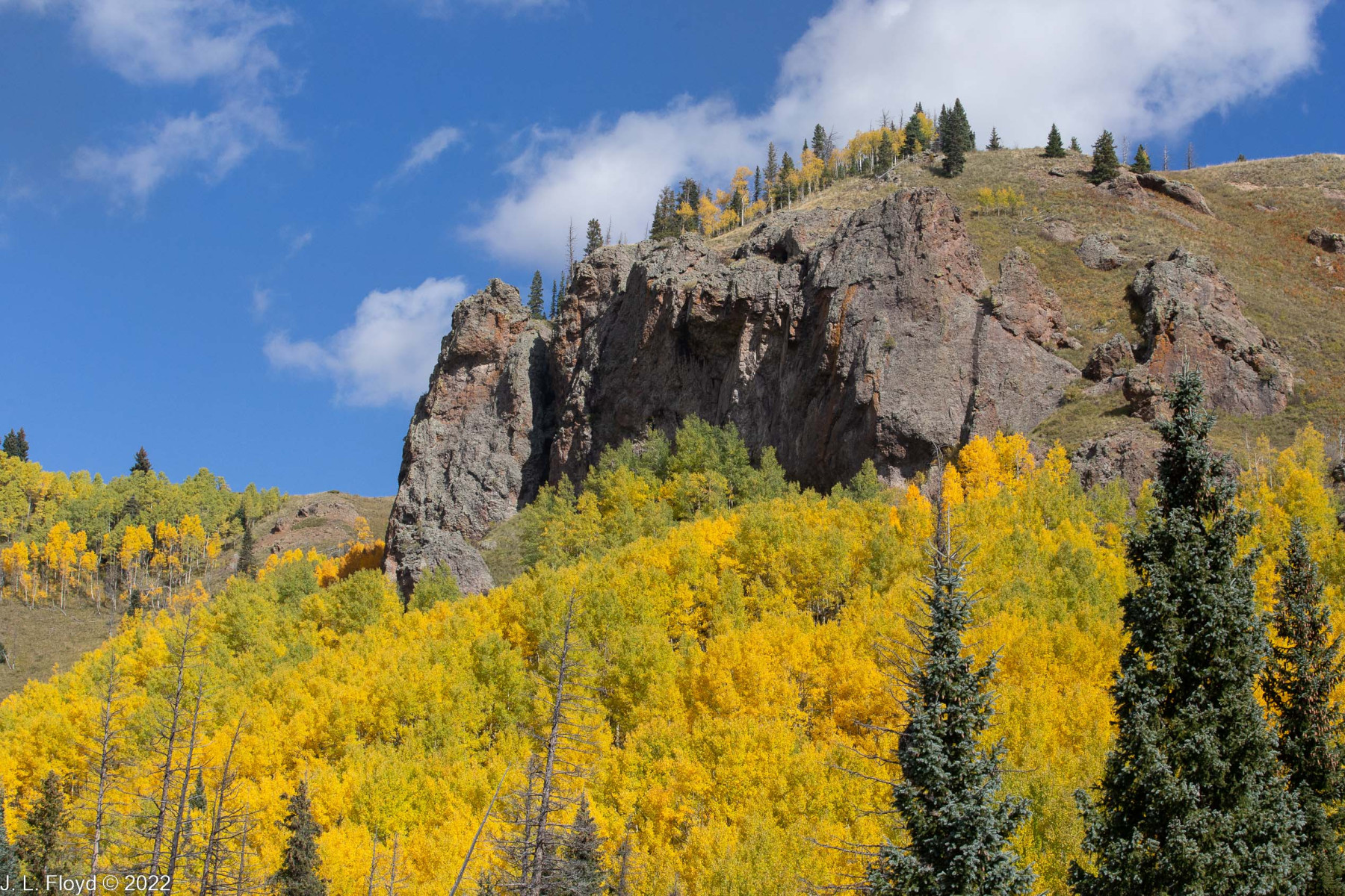
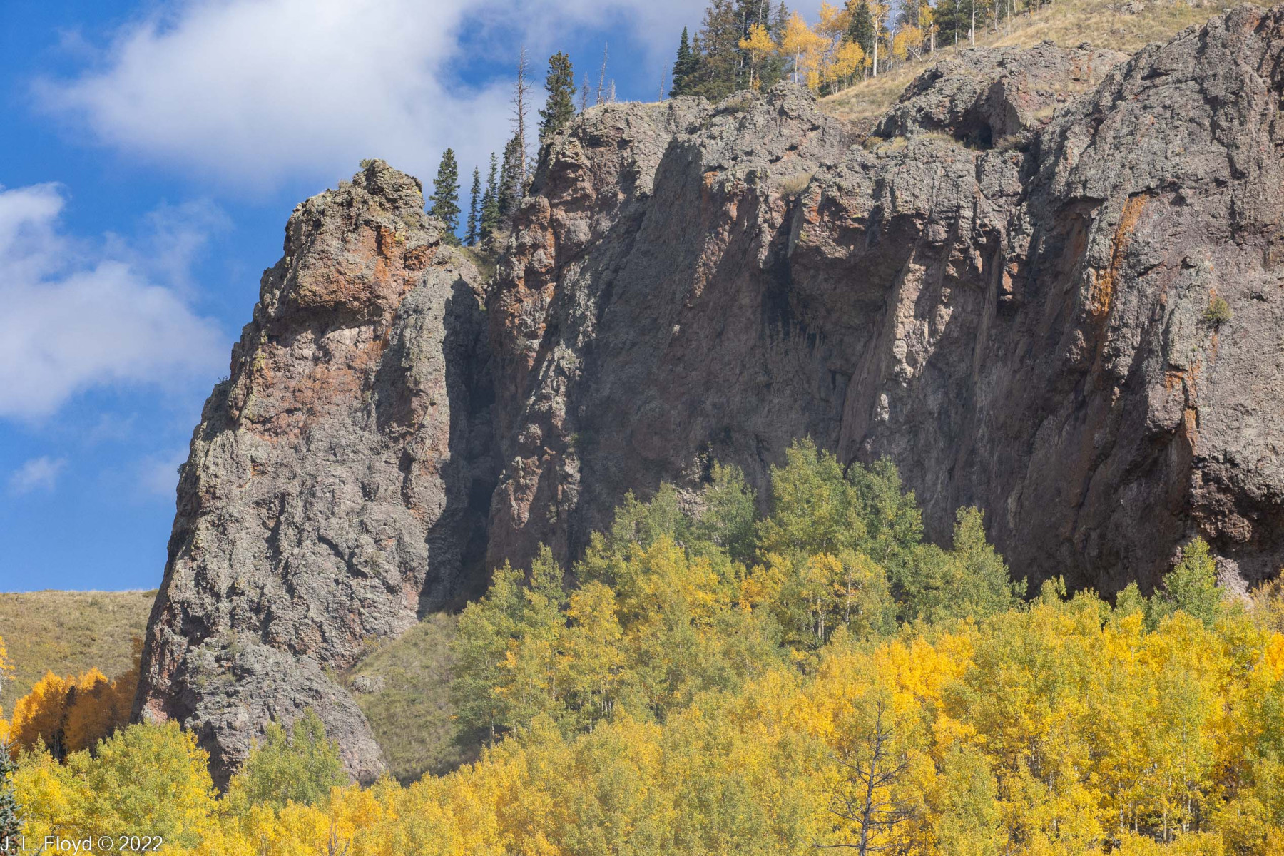
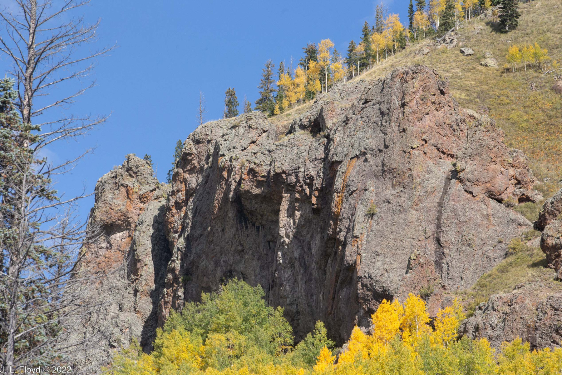
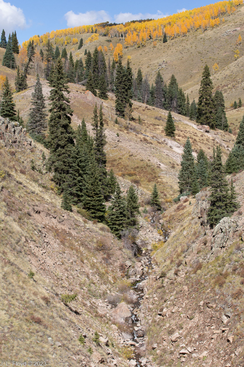
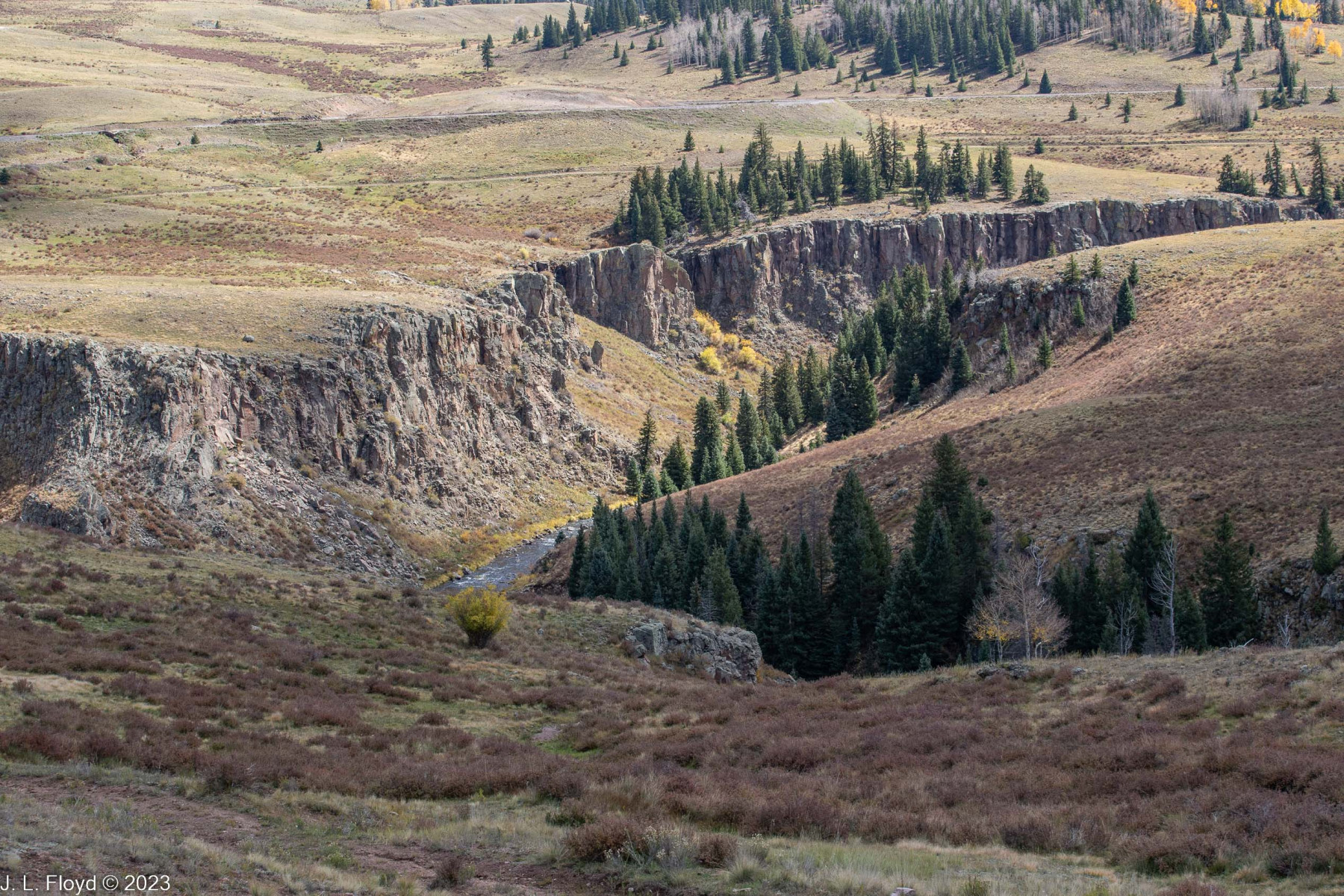
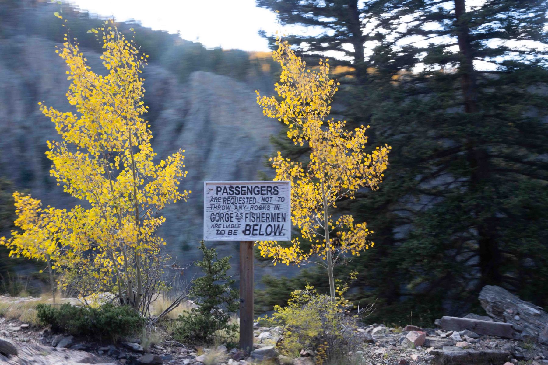
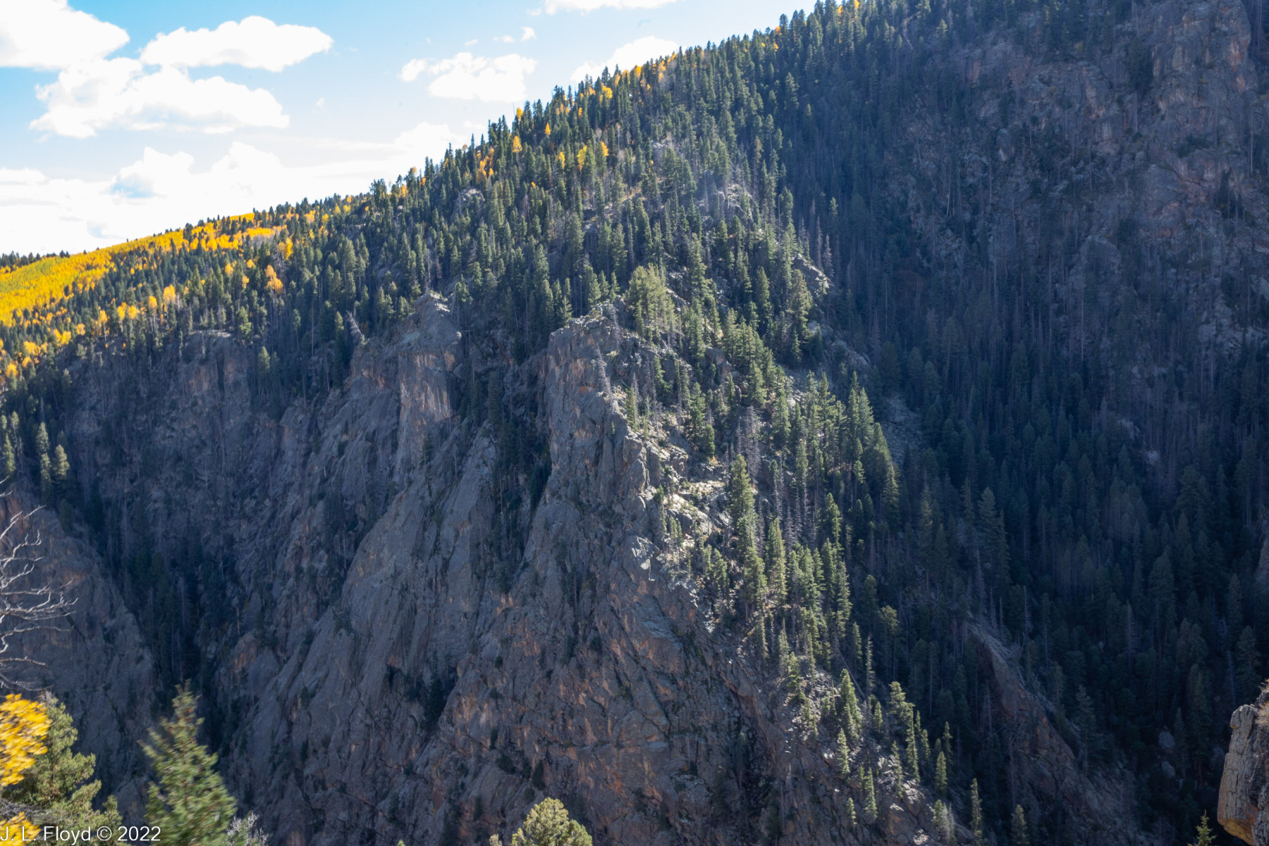
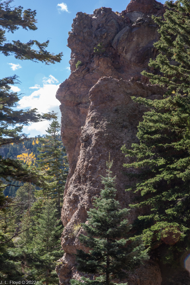
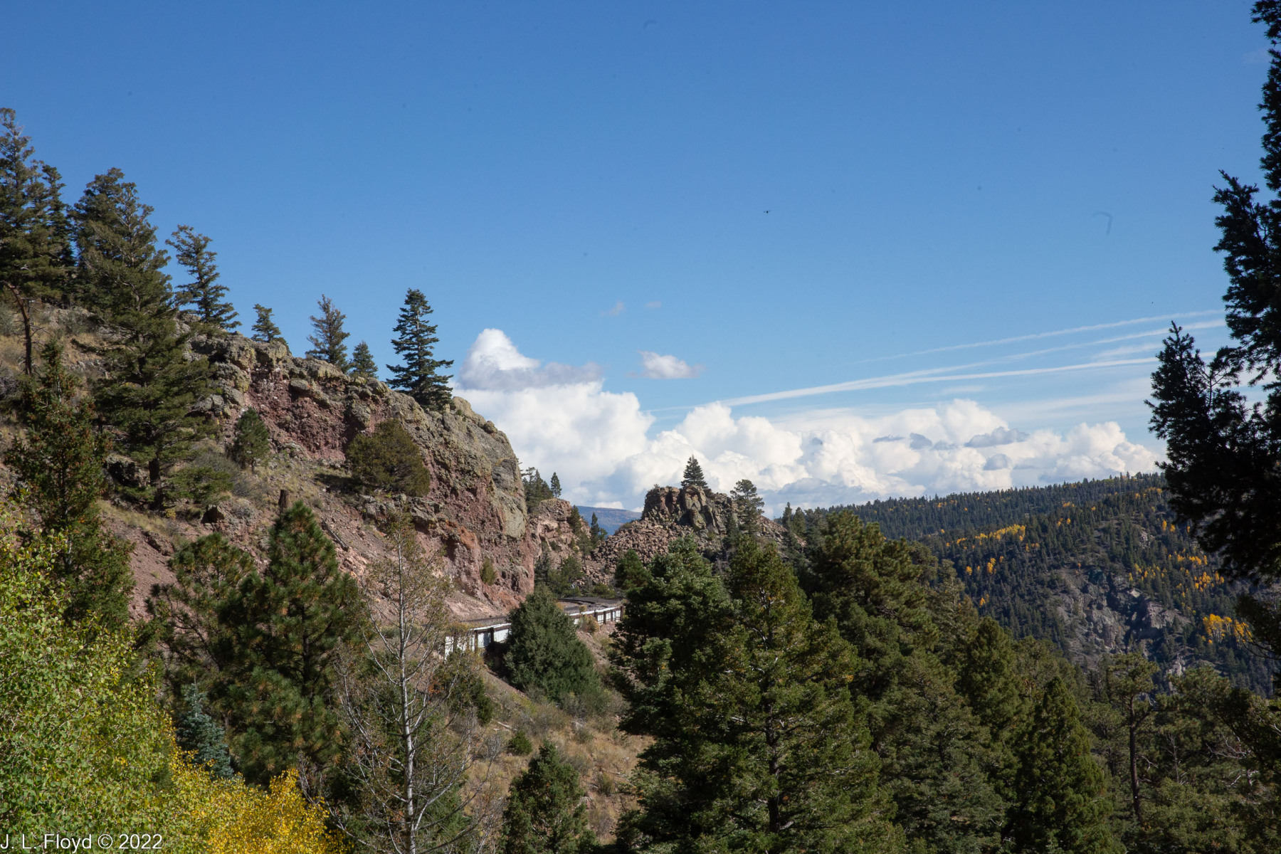
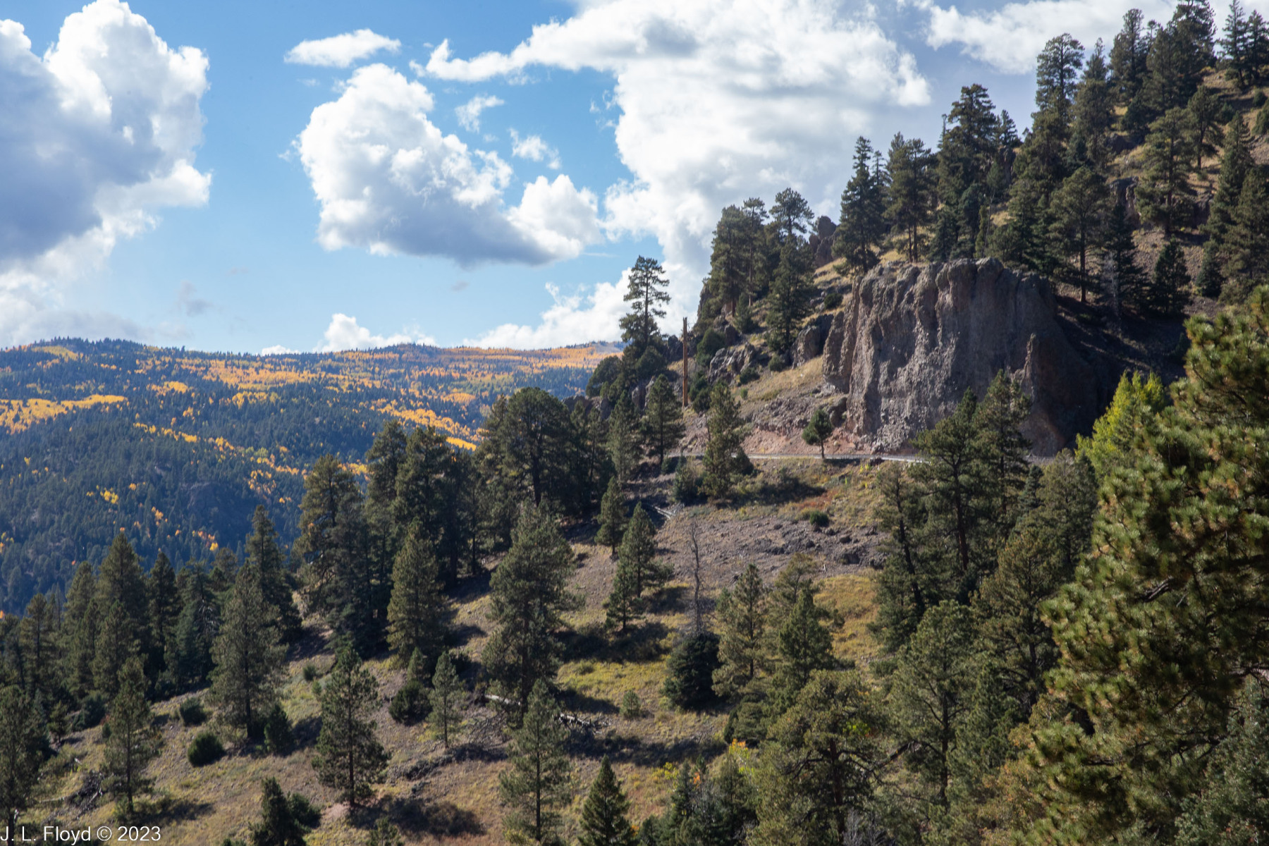
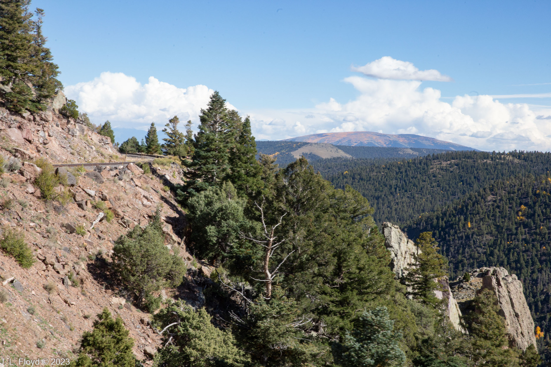
The rolling wooded country soon began to give way to stretches where the cliffs would tower over the train and deep gorges would yawn next to the rails, but the train kept chugging away on its gradual climb upward.
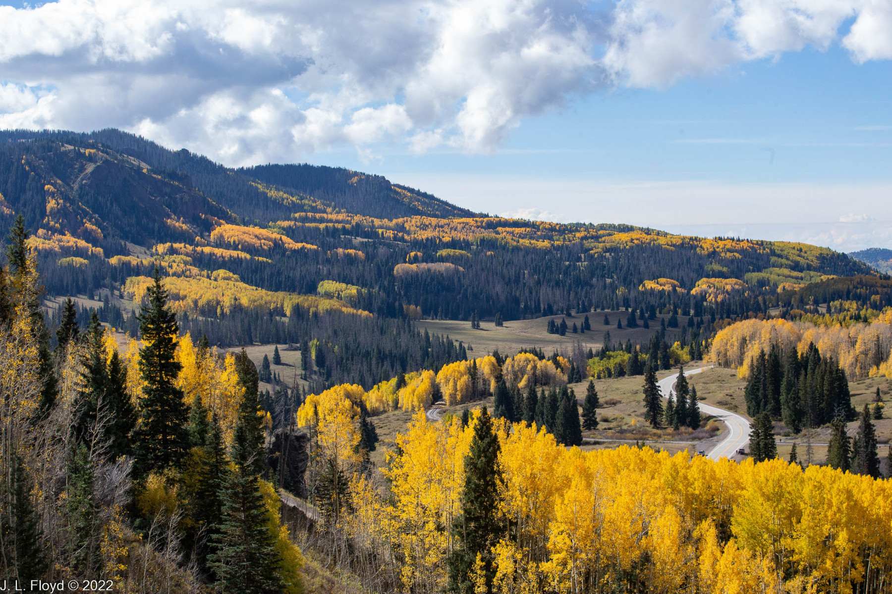
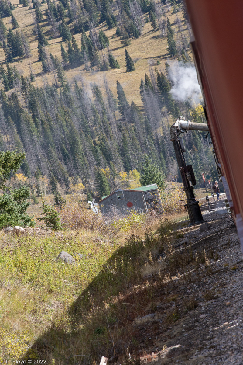
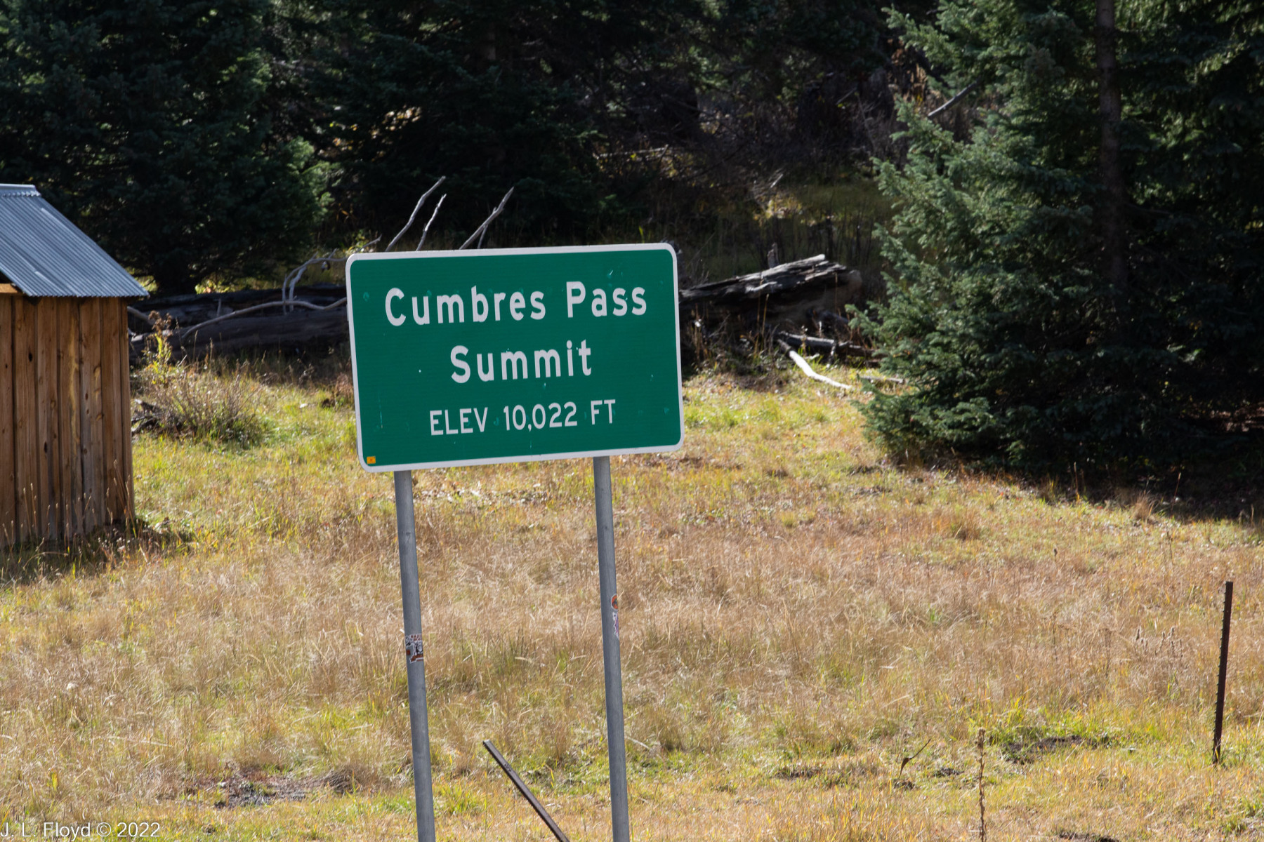
The train approximately followed the route of Highway 17, which like the railroad runs from Chama to Antonito. The highway crosses the railroad at several points, and cars have to stop to wait for the train to pass. 13.64 miles after leaving Chama, the train arrived at Cumbres Station, elevation 10,015 feet or 10,022 feet, depending on which sign you believe. It is the highest point on the railroad and the highest elevation of any narrow-gauge railroad in North America. (Don’t ask about standard-gauge railroads.) The long uphill climb from Chama uses up 3/4 of the locomotive’s water supply, so it must refill from a cistern at the station. The engineers also do a brake test, since the next stretch will be a long downhill.
Not long after leaving Cumbres Station, the train took a sharp turn to the south, parting ways with Highway 17 for a while and entering the storied Tanglefoot Curve where it doubles back on itself; this is done so that it can lose altitude gradually instead of risking burning out its brakes and careening wildly down a steep grade (which would happen if it followed the road) to end up as a pile of junk in Cumbres Creek. At Tanglefoot Curve the engine also performs a “boiler blowdown,” which entails releasing steam in a big puff to clear sediments at the bottom of the boiler.
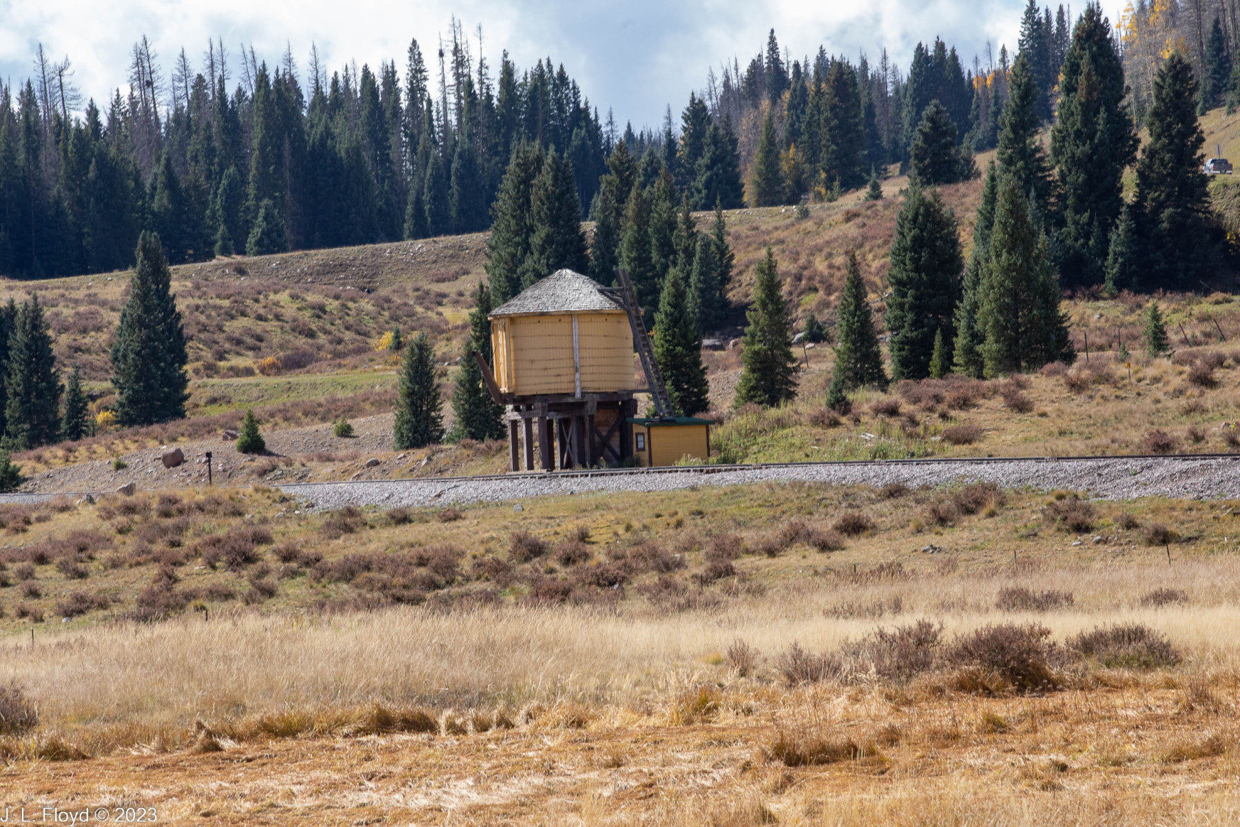
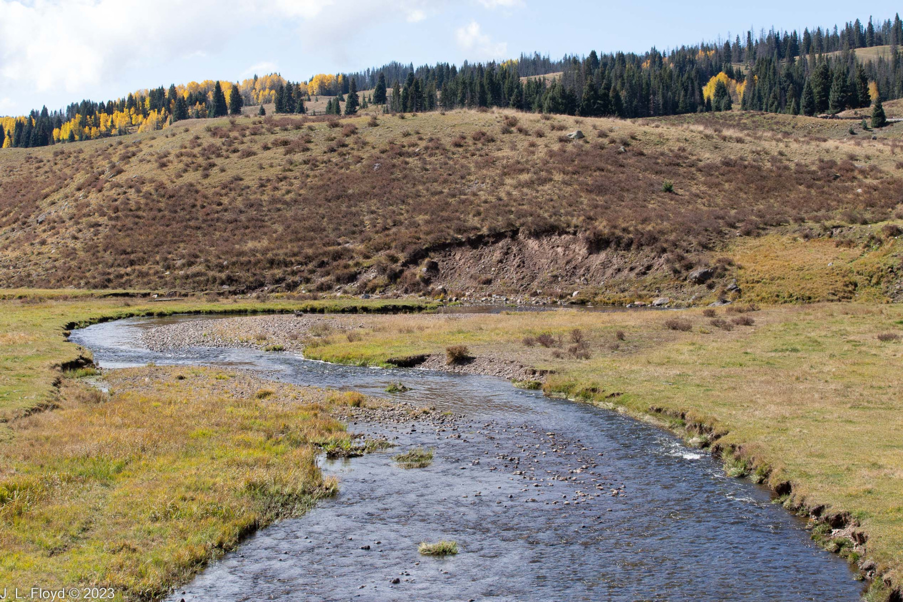
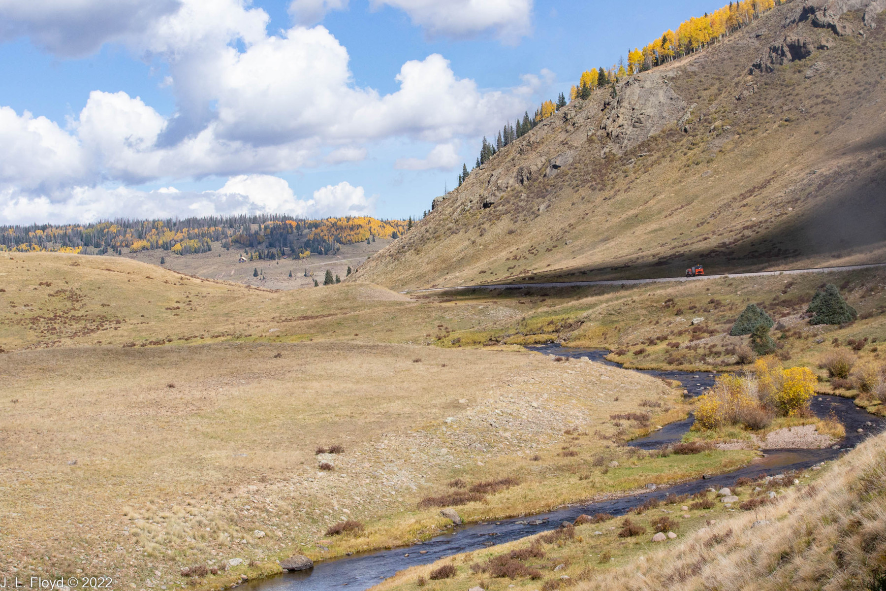
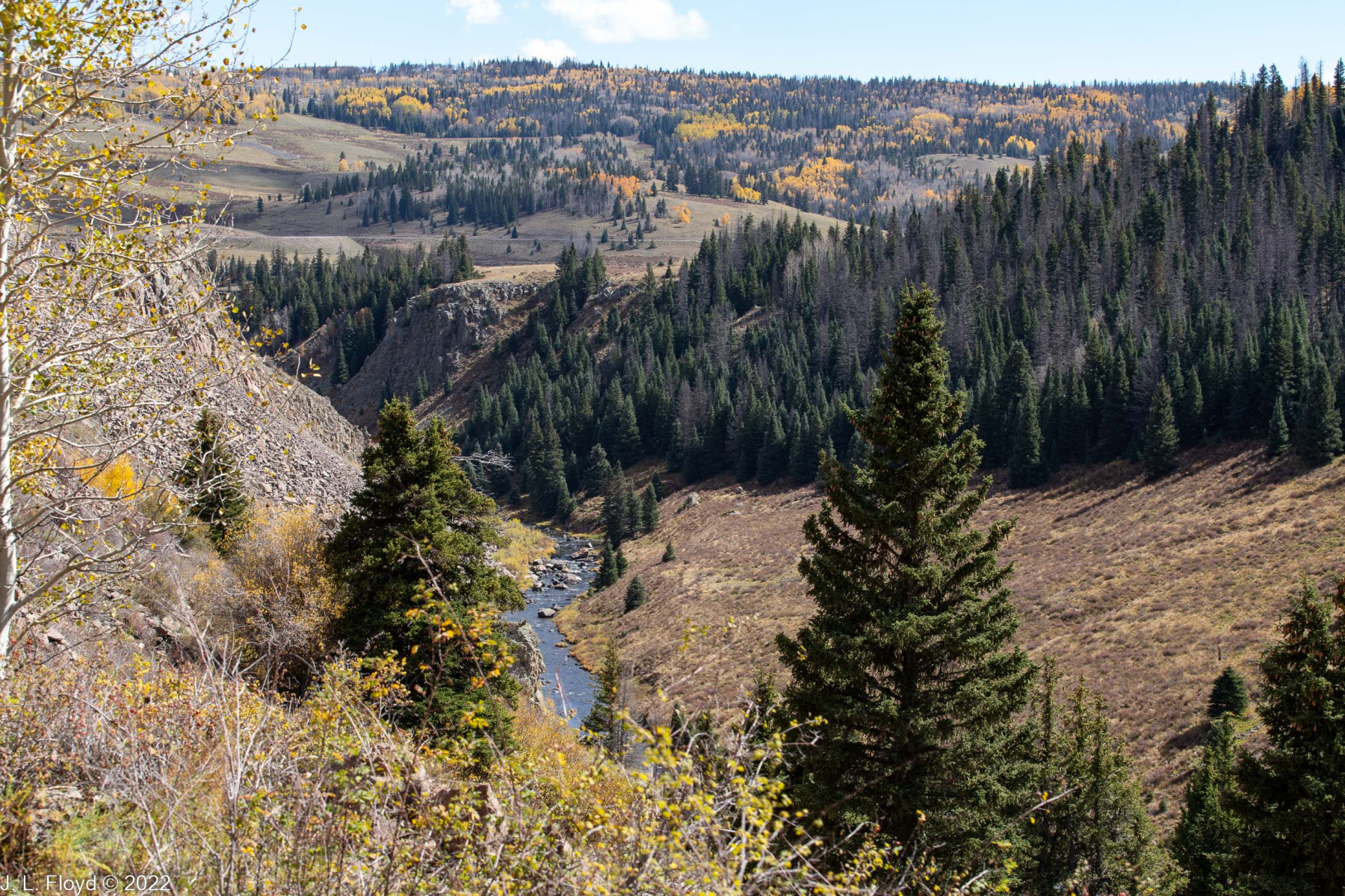
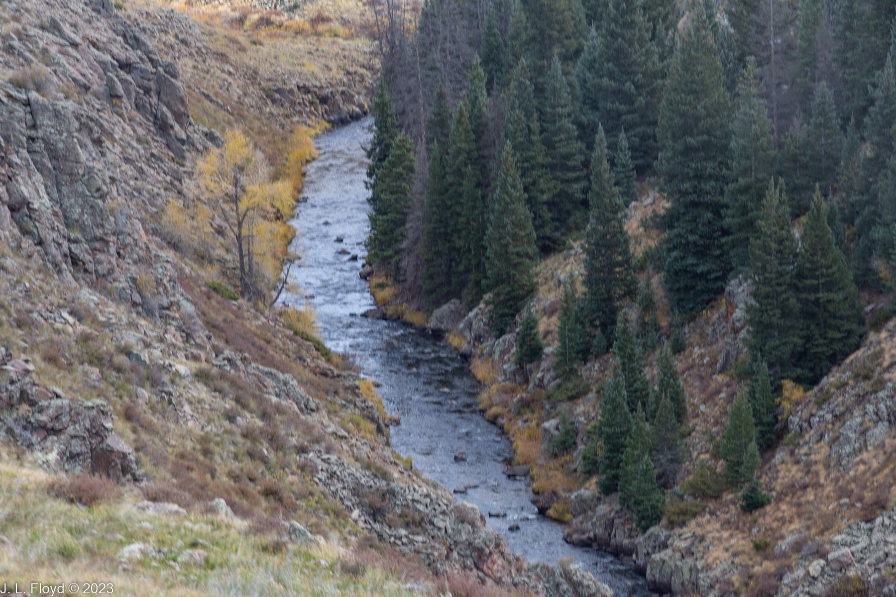
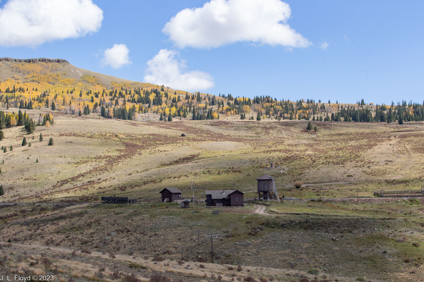
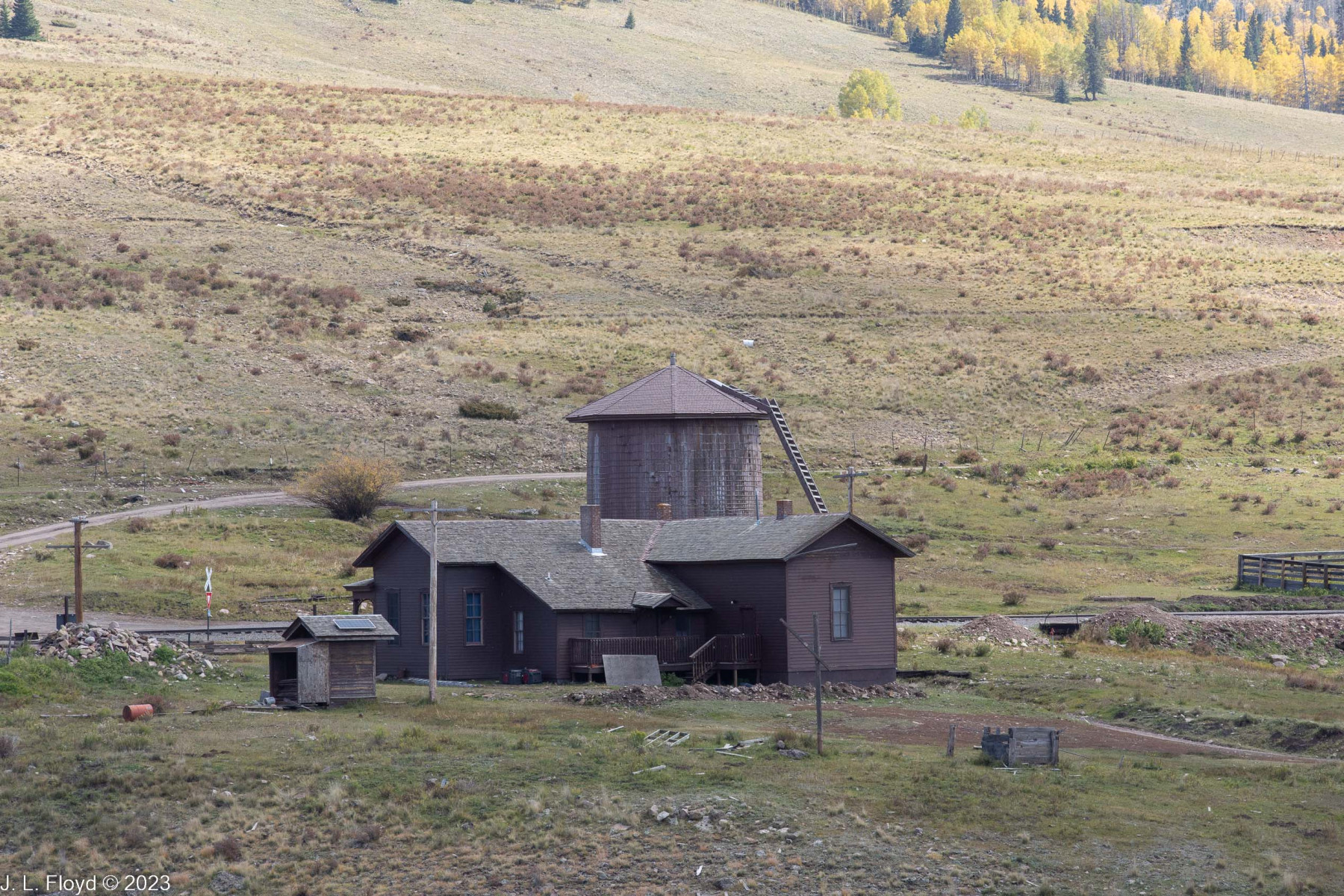
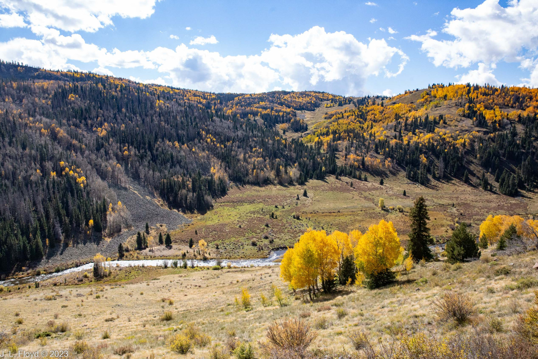
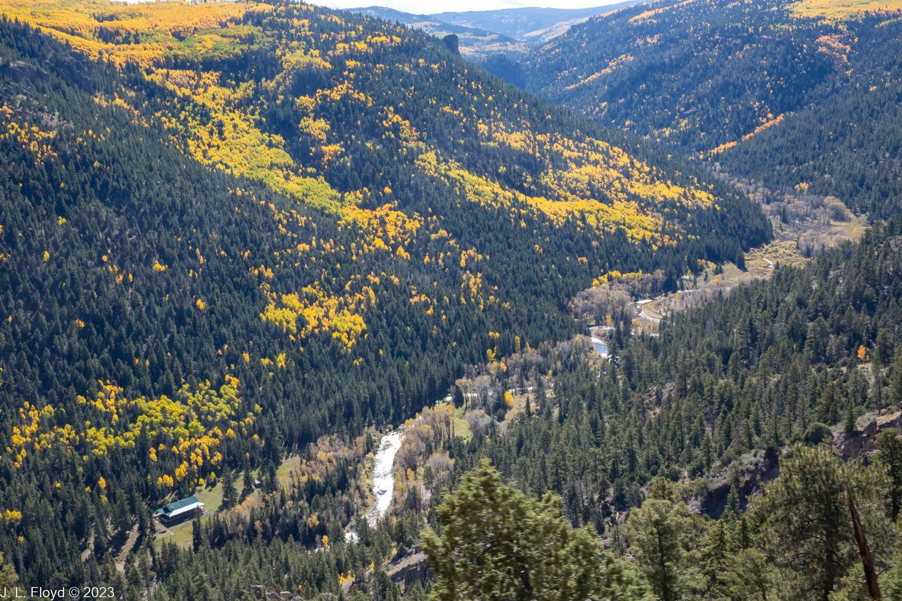
After rejoining Highway 17 the train resumed its easterly direction for a while and then turned north into the Los Piños Valley, taking a long loop north to Los Piños Station. This is not a real station, though it probably was at some time in the past. Its sole claim to being useful is a water tank, but even this is only used for small engines and rotary trains (snow plows). But there are also a number of buildings in the area which make the place look like a station, so it’s easy to confuse with a real station and expect the train to stop there. Since I couldn’t hear the conductor’s announcements above the noise of the train, I did expect the train to stop there, thinking we had arrived at Osier Station, and was puzzled that it didn’t. Instead, it made a U-turn back to the south headed back to the point where it had turned north, and resumed its easterly course, leaving me to wonder why it had taken such a long, seemingly pointless detour. I speculate that most likely Los Piños was formerly important enough, maybe as a lumber pickup depot, to make it worthwhile for the train to stop there. Whatever the case, the Los Piños Valley is a pleasant alpine valley, with a wonderful pristine river, the Rio de los Piños, running through it. At least part of the riverfront belongs to the Western Rivers Conservancy, an organization devoted to preservation of habitat for fish and wildlife and to ensuring that rivers and streams remain available for public access.
After completing the Los Piños Valley loop, the train turned eastward again, following the course of the Rio de los Piños, and crossed Cascade Creek, just north of where it flows into the river, over Cascade Trestle, the highest trestle on the line, running 137 feet above the creek.
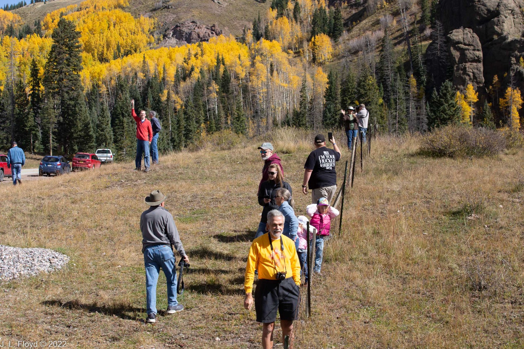
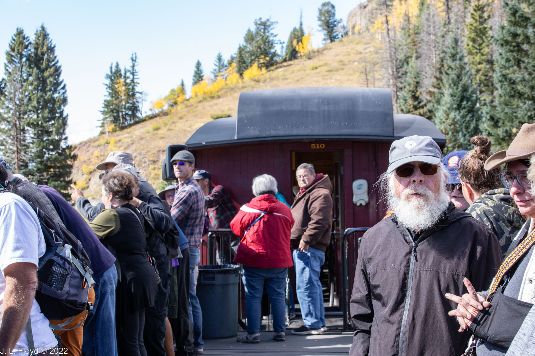
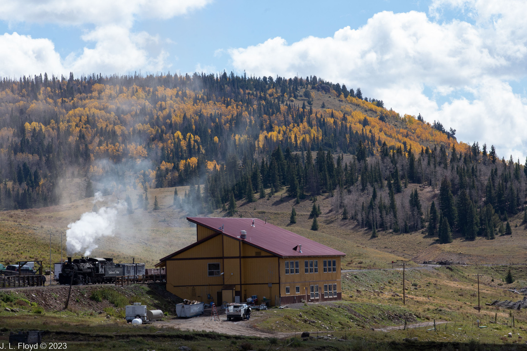
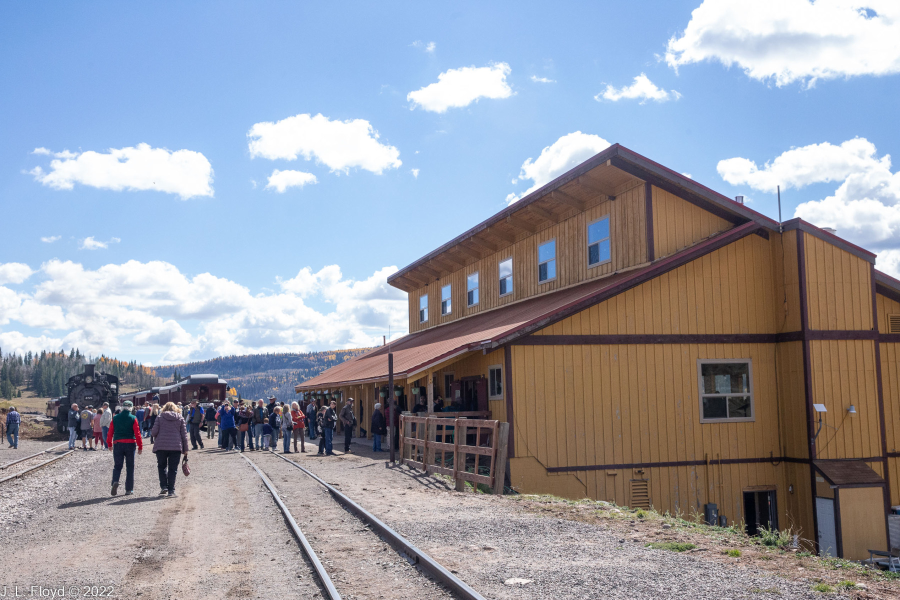
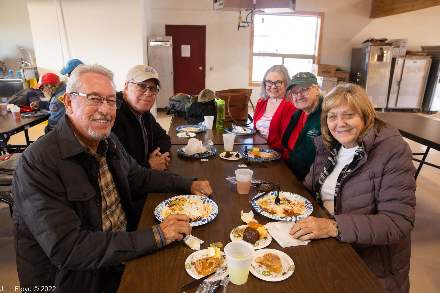
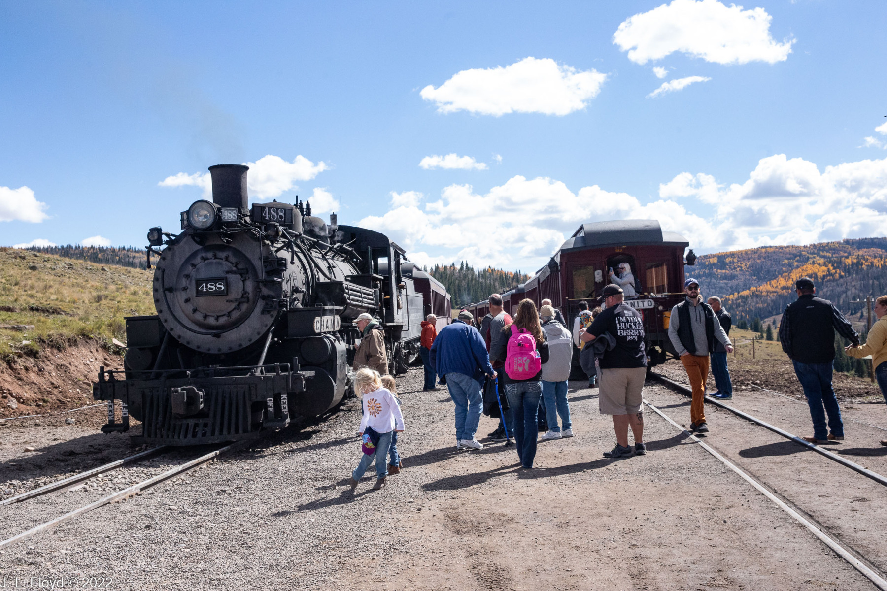
From Cascade Creek it’s just a couple of miles to Osier Station, the mid-point of the journey. There we met another train coming up from Antonito, and we all stopped for lunch. After lunch we had time to stroll around and check out the station and its facilities before resuming the journey.
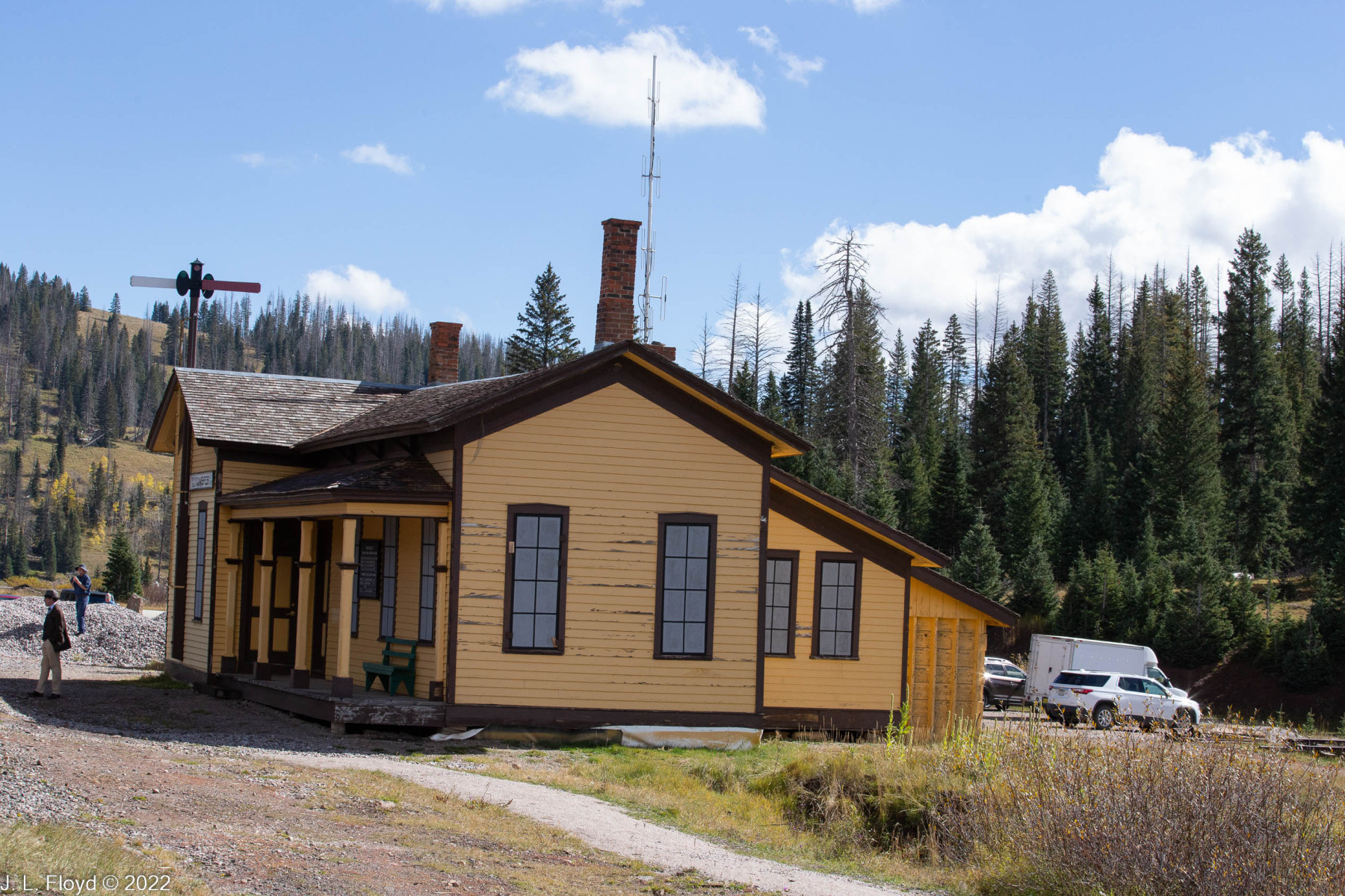
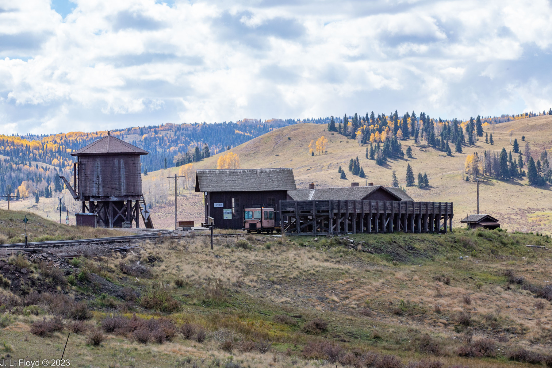
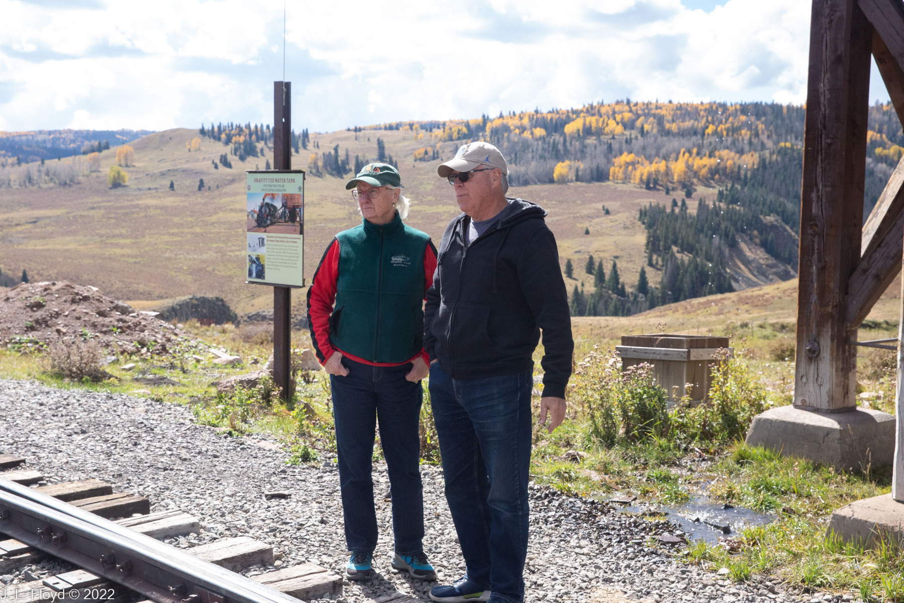
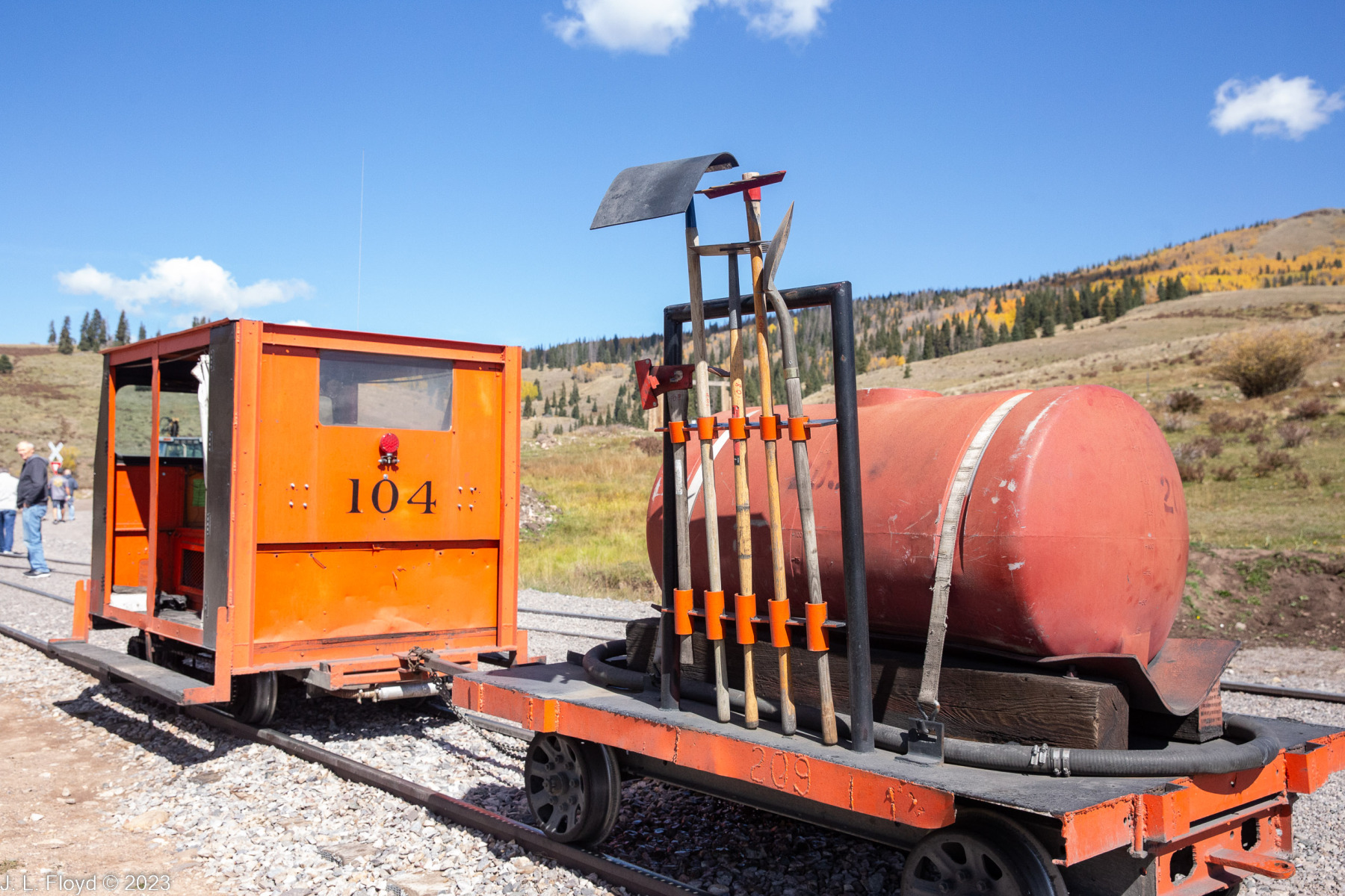
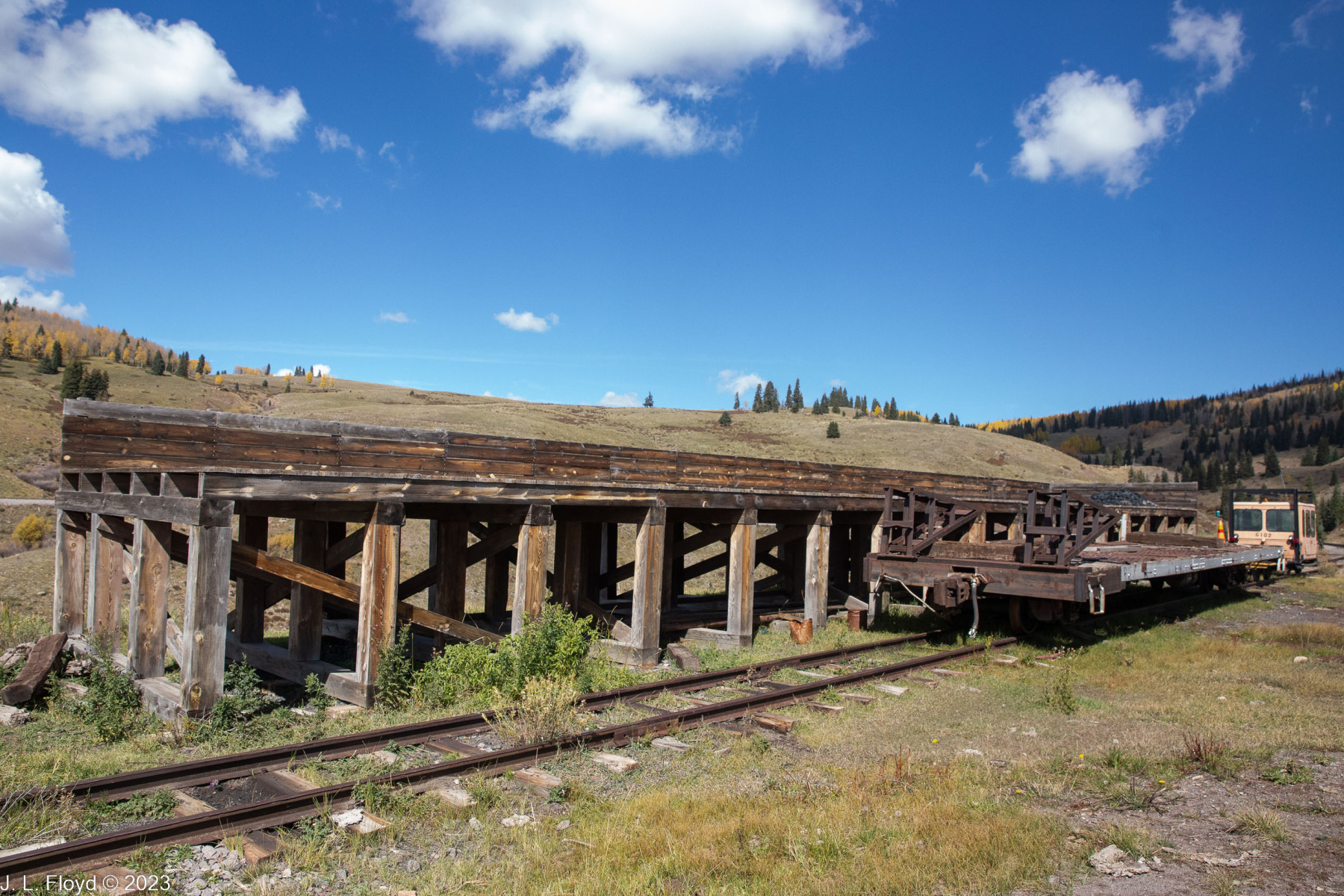
The Merriam-Webster Dictionary defines osier as “any of various willows (especially Salix viminalis) whose pliable twigs are used for furniture and basketry,” “a willow rod used in basketry,” or “any of several American dogwoods, especially red dogwoods.” We didn’t see baskets, willow rods or dogwoods of any color at Osier Station. Instead we saw a number of venerable structures including an old depot house, now a restroom, a water tank and a coaling facility; some old-time railroad equipment, such as the remains of a turntable; and some modern equipment, e.g. a little buggy that rolls along the tracks and pulls a trailer laden with maintenance tools – the modern-day equivalent of the old railroad handcar. My brother-in-law Chuck also regaled us with information about railroad tracks, where they are made and by whom, the different types, and so forth; for example, it turns out that curved tracks are made by a different company, to more exacting standards than straight ones, because they have to endure more stress and different force vectors. Incidentally, it’s also worth noting that the C&TSRR was built as a narrow-gauge railway (3 feet wide) not only because the narrow gauge was cheaper to build, but also because a narrow gauge railway can accommodate tighter-radius curves, allowing track to be laid where standard gauge (4 feet 8-1/2 inches) would not fit.
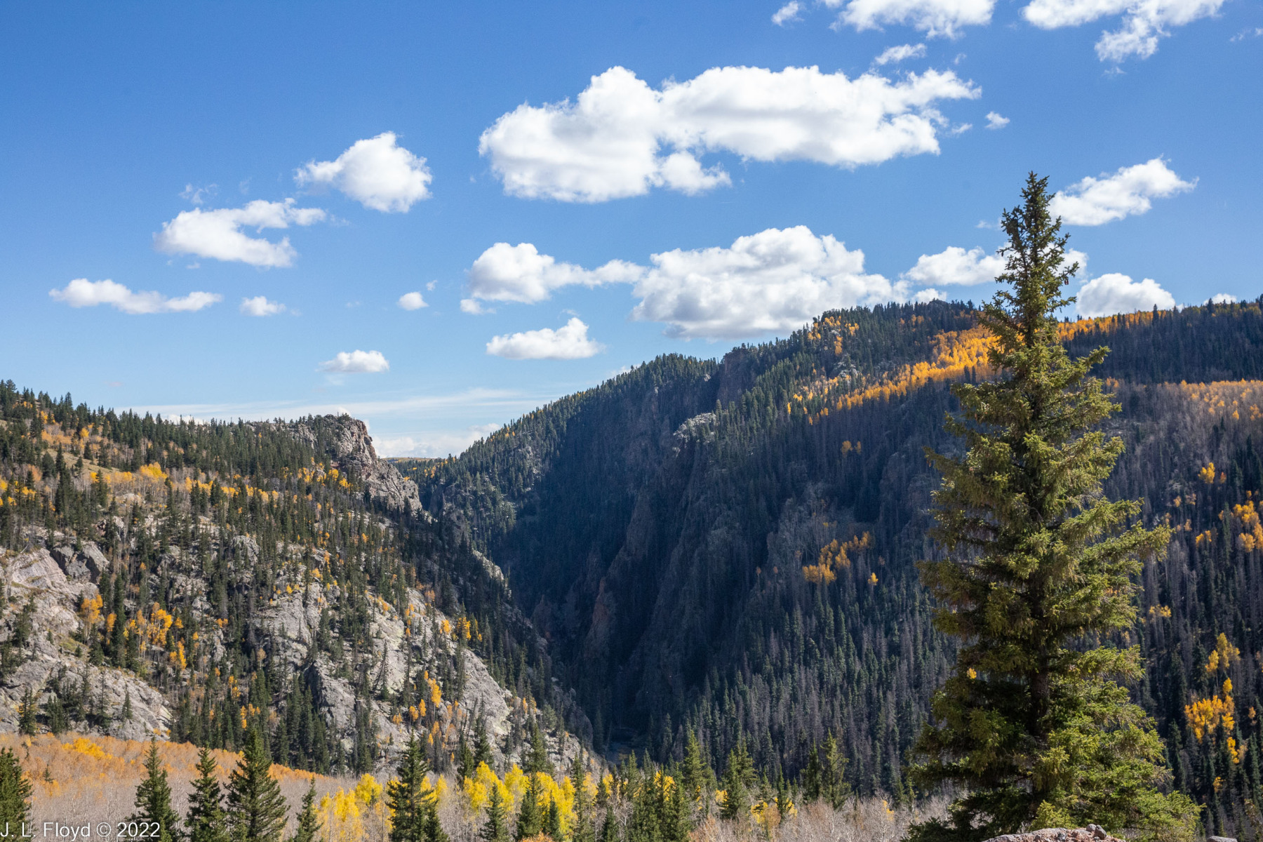
After leaving Osier, the CTSRR train followed the course of the Rio de los Piños southeastward, crossing the state line back into New Mexico. Before long we arrived at the yawning chasm of Toltec Gorge, where the train crawls precariously along a narrow precipice while leaning shakily toward the dropoff, and we had to be careful not to make any sudden movements lest we rock the train and send it careening hundreds of feet to the bottom of the gorge six to eight hundred feet below us.
Near the confluence of Toltec Creek with the Rio de los Piños we passed through the famous Rock Tunnel, but I was unable to capture any photos of it since it was too dark inside and I didn’t bring my flash. The tunnel was blasted out of Pre-Cambrian igneous and metamorphic rock with black powder in 1880, and the rock is so hard that no shoring or lining was necessary. Unfortunately, several passengers who had climbed onto the roof of our carriage to see better were scraped off as we rode through the tunnel.
Somewhere near the mouth of Rock Tunnel, though I missed it at the time, there is a monument to President James A. Garfield, who was assassinated on that spot by Charles Guiteau, a madman and disappointed office-seeker, on July 2, 1981, shortly after emerging from the tunnel on one of the first trains to pass through it. (Actually, Guiteau shot Garfield with a British Bulldog revolver in the Baltimore and Potomac Railway Station in Washington, D. C., and Garfield lingered on for two months before dying, which probably could have been prevented by competent medical treatment. In those days insanity was given short shrift as a defense in a murder trial, and Guiteau was convicted and hanged in 1882.)
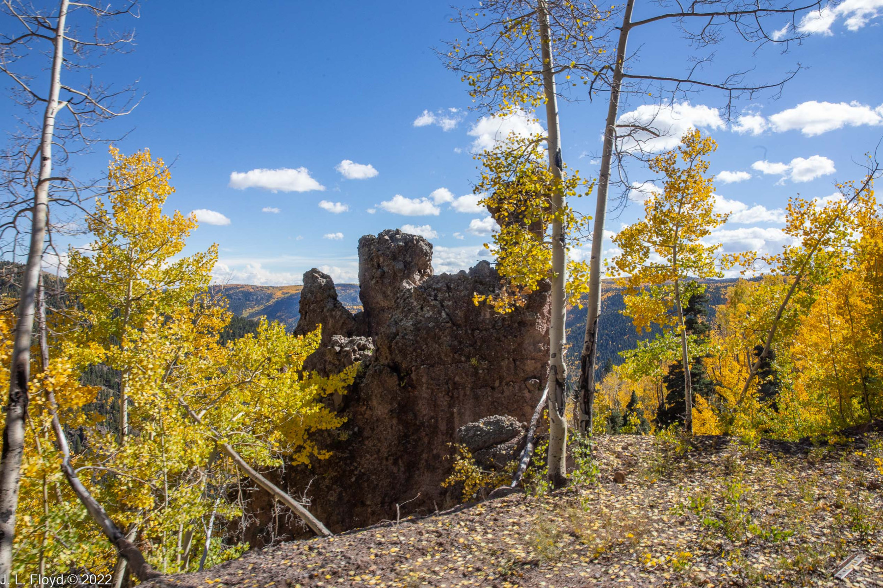
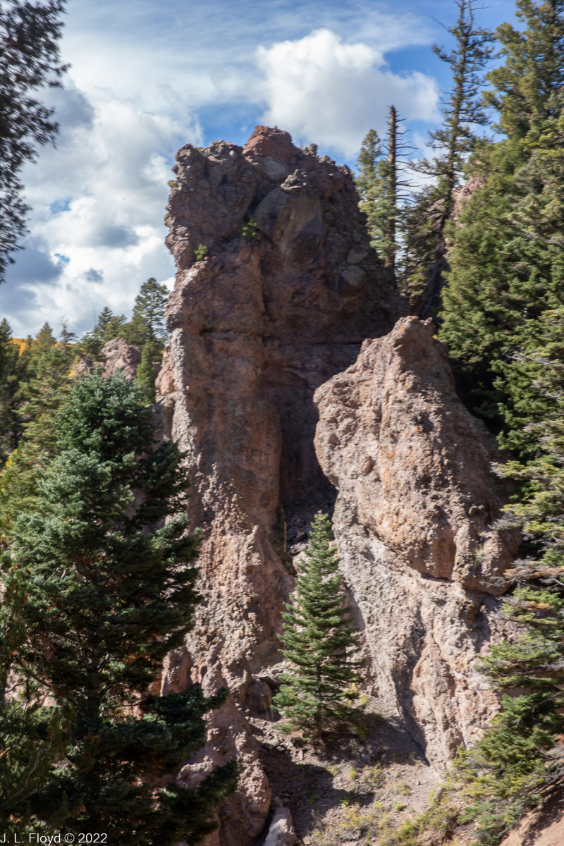
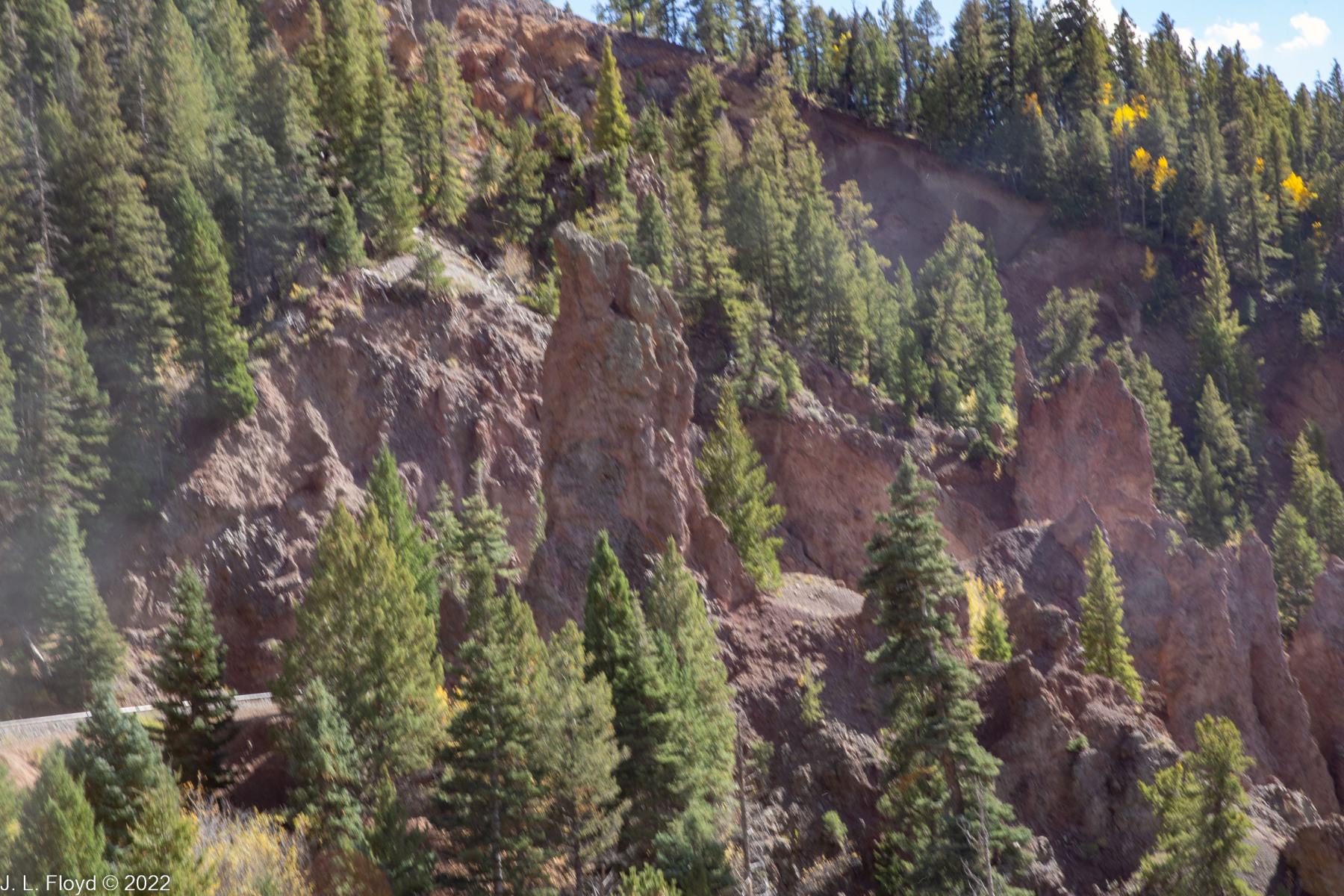
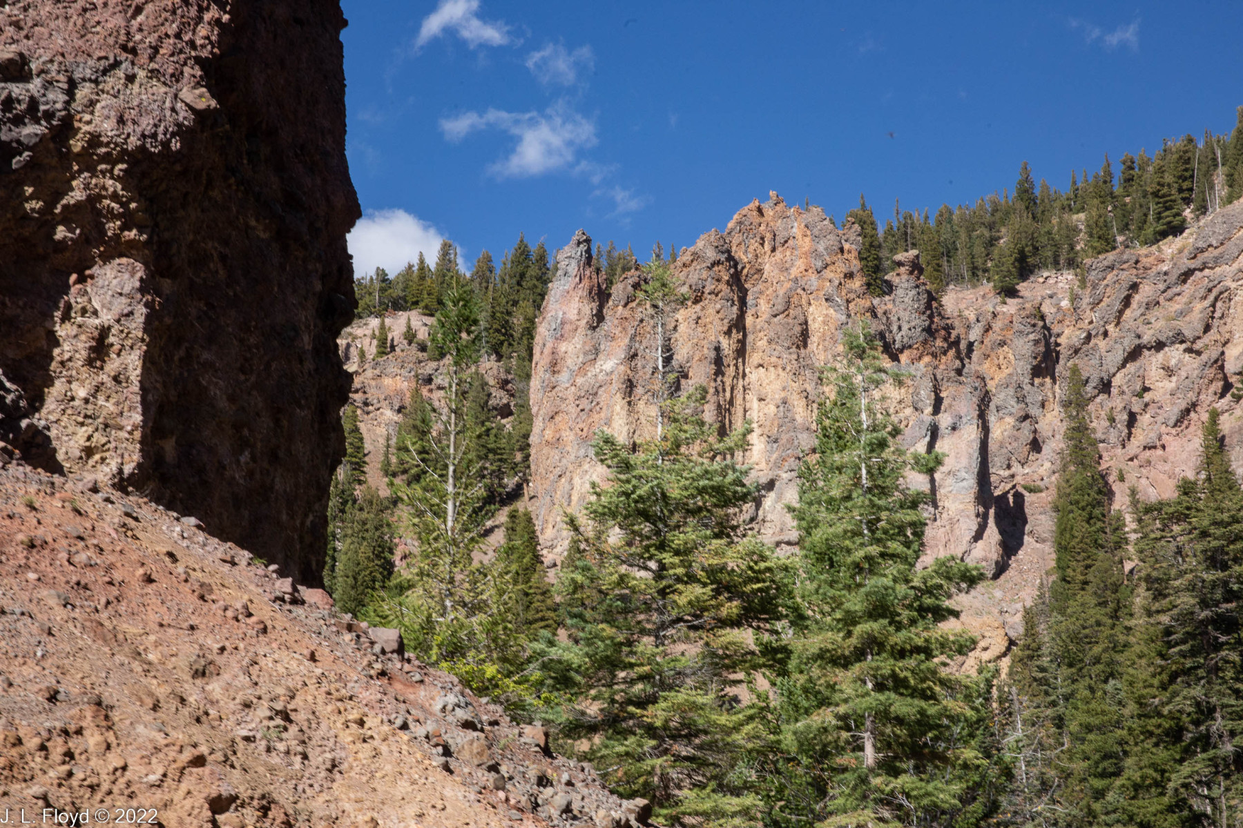
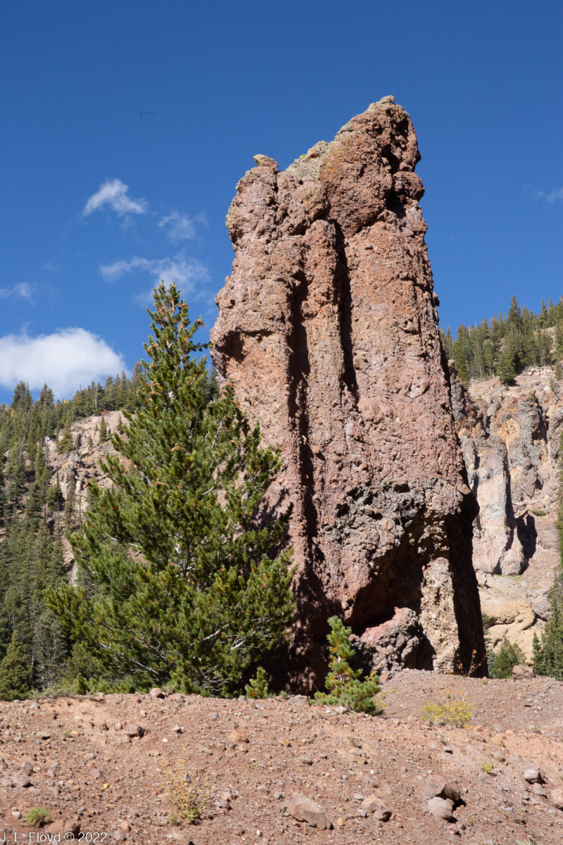
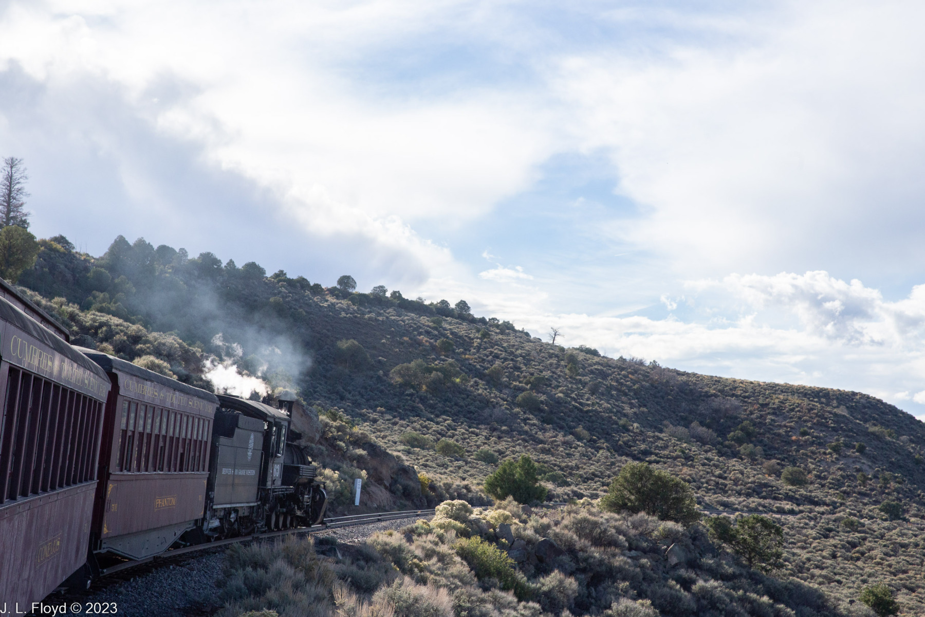
After exiting the Rock Tunnel, the train took a turn north and began a series of zigs and zags that took it back into Colorado, then south again. Somewhere in this bewildering sequence we rounded Phantom Curve, so named because of the eerie shadows that were created by the head light of the locomotive reflecting off the hoodoos along the tracks. Since it was daytime and the headlight wasn’t on, I didn’t see any eerie shadows, but I did see the hoodoos, which are ubiquitous along this part of the route.
Next we passed through another tunnel, 342 feet long and named Mud Tunnel because it was drilled through the soft weathered ash and mud of the Conejos Formation. Mud Tunnel is shored up with wooden pillars which occasionally collapse, burying whatever train is passing through and making it necessary to construct a temporary bypass called a “shoo-fly” for subsequent trains. The way this works is that the train is stopped and passengers and cargo are moved via the bypass to another train waiting on the other side of the tunnel. Fortunately, we did not have to endure this somewhat inconvenient arrangement.
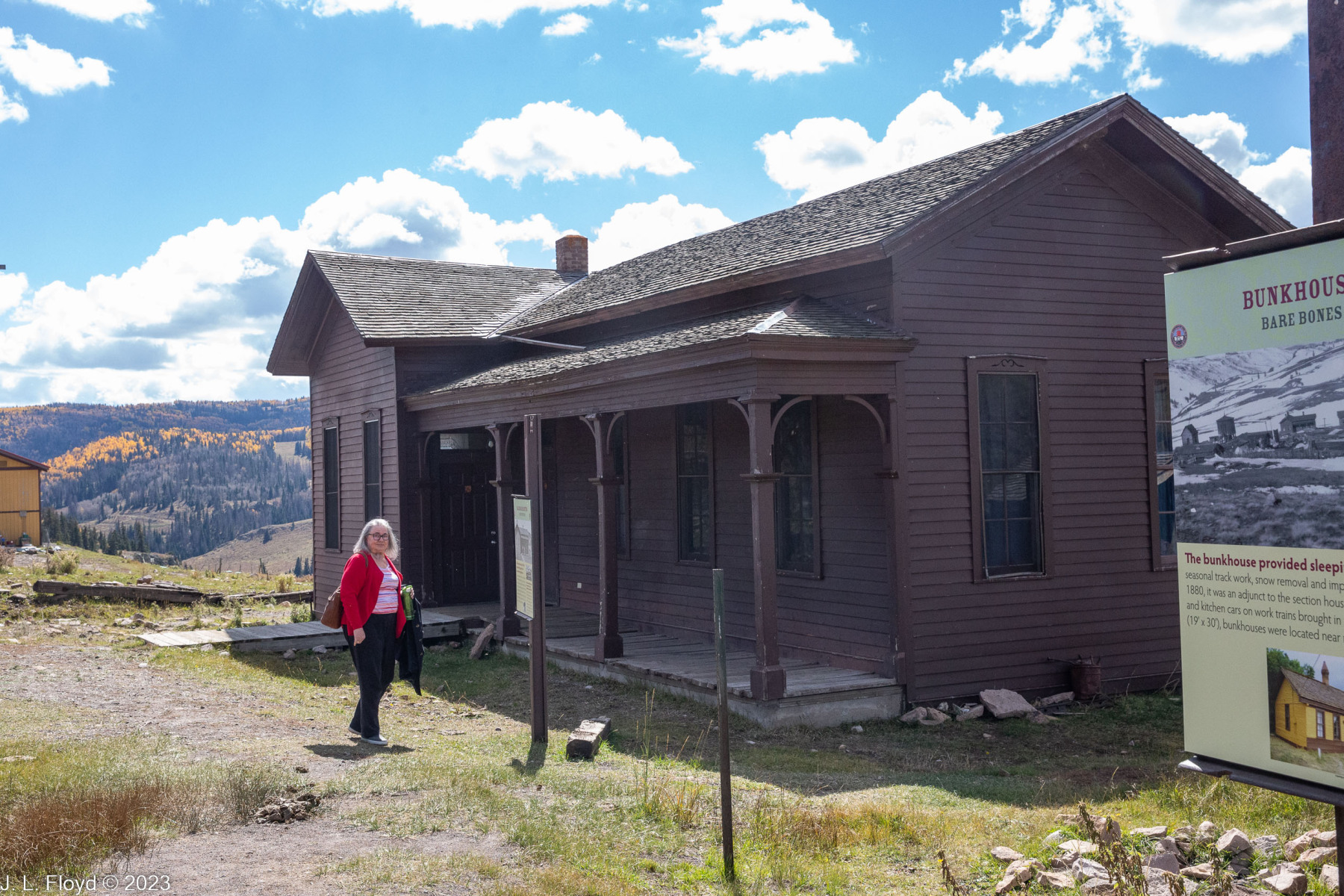
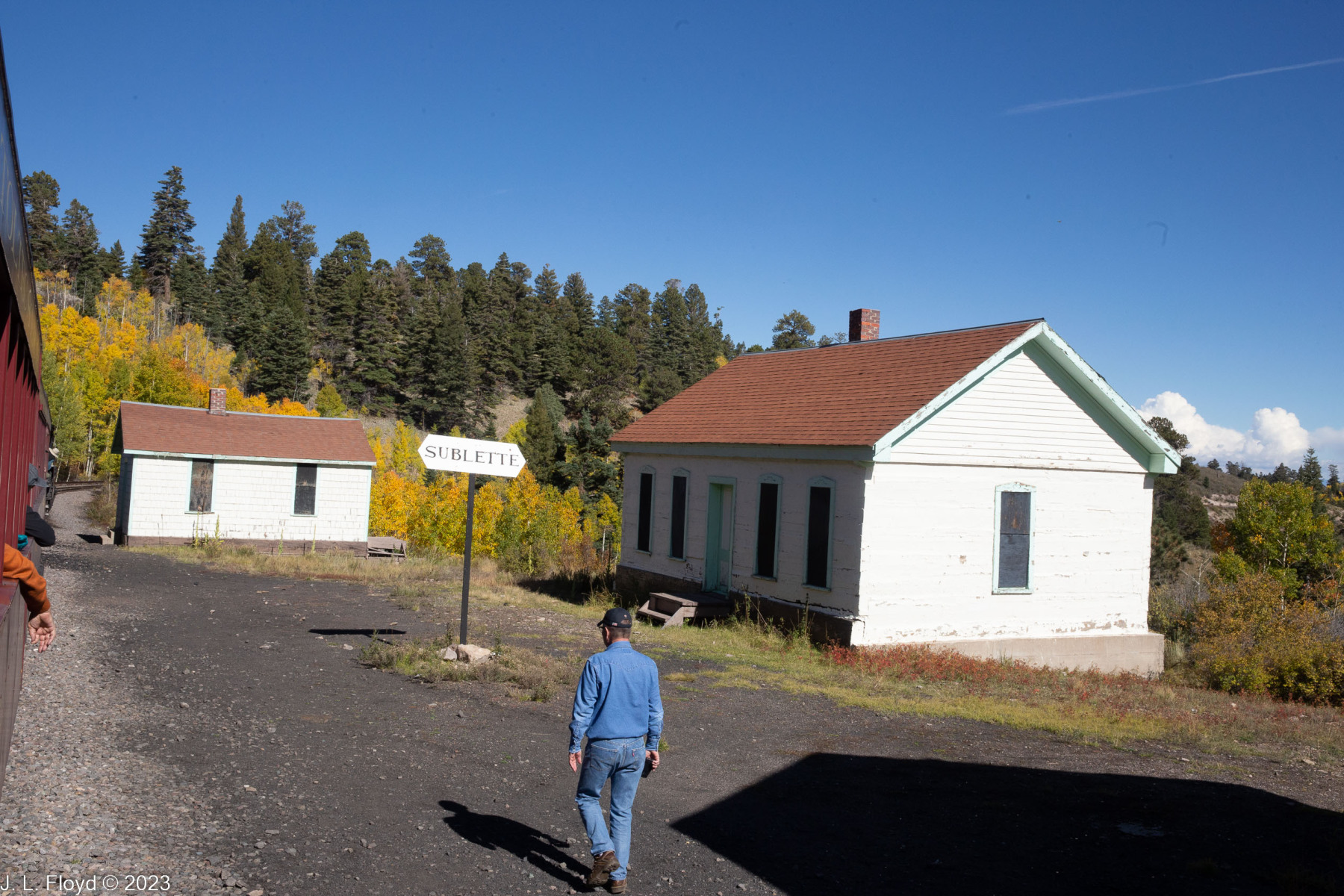
After emerging safely from Mud Tunnel, the train arrived at Sublette, an abandoned railroad section camp, high in the southeastern San Juan mountains at 9,281 feet. The section house, bunk house and other structures have been restored and are maintained by the Friends of the Cumbres & Toltec. Sublette still functions as the first water stop for trains coming up from Antonito.
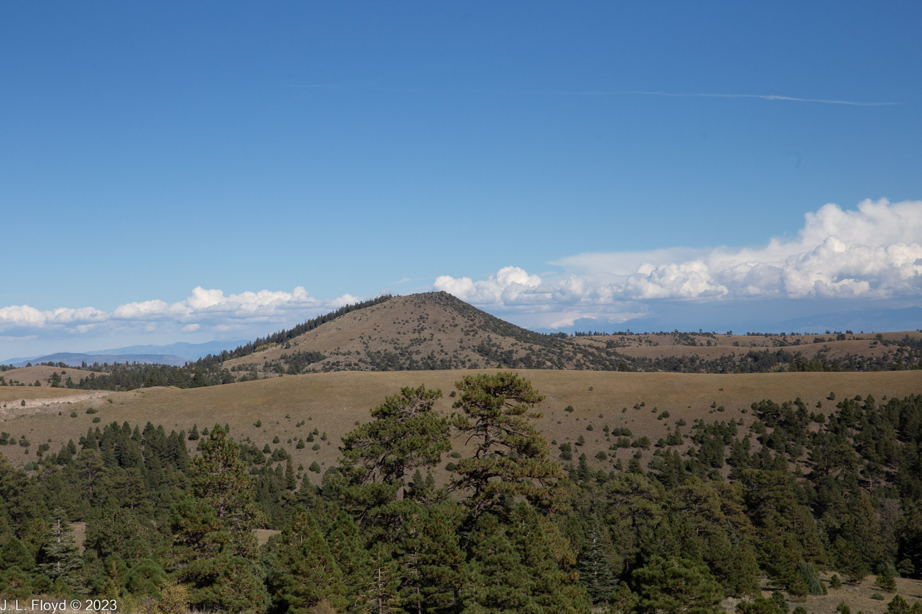
Leaving Sublette, the train began a gradual descent down from the mountains toward the plains west of Antonito and briefly crossed into Colorado again, where it traversed a pretzel-shaped stretch of track known as Whiplash Curve, a prime example of how early railroad builders used curves to gain elevation while keeping the grade as flat as possible.
Not far from Whiplash Curve, after crossing the state line again, we passed the siding and wye of Big Horn, New Mexico. The siding is no longer connected to the main line. A wye is a piece of track constructed, as one might guess, in the shape of a letter “Y”; its purpose is to enable a train to turn around by backing up on one leg of the wye, then pulling forward on the opposite leg to go in the other direction. This wye was originally constructed to enable snowplow trains to turn around, but it is now rarely used; since the Scenic Railway does not operate during the winter months, the rotary snowplow trains (of which there is only one left) are run only on special occasions.
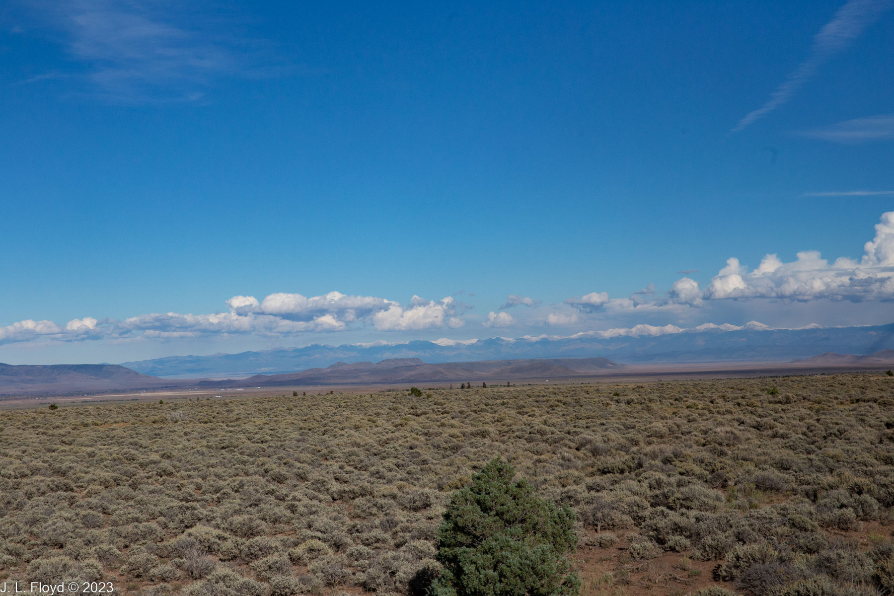
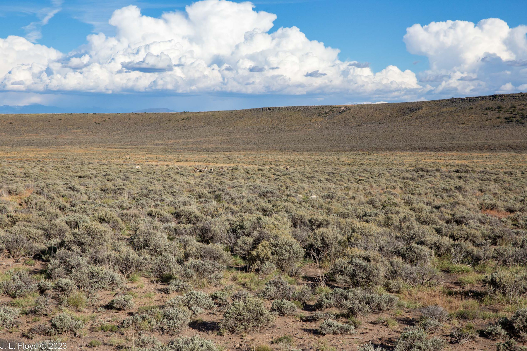
By this time we were down on the plain of San Luis Valley, an incredibly flat, dry and boring expanse, but there was still one point of interest left on the route, though I missed it because I fell asleep. This was the chasm spanned by Ferguson’s Trestle, named for a man who was hanged from a locomotive there. Why they would hang him from a locomotive, when they had a trestle ready at hand for that purpose, I never found out.
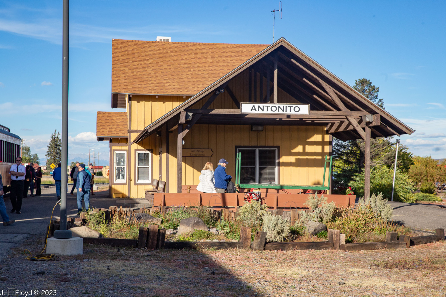
At least the last part of the ride went by quickly, since the train had a straight and level shot to Antonito, and we pulled into the terminal sometime around 4:30 PM. Annoyingly, we had little time to check out the train terminal there because we shortly had to board our buses for the trip back to Chama shortly afterward.
Since it was October, darkness came early and we didn’t have long to enjoy the scenery on the way back. Also we were all tired and mostly fell asleep, until we were rudely awakened by an onslaught of nature. As we neared Chama, the skies, which had been sunny and bright all day with only a few puffy cumulus clouds, almost instantaneously clouded up and then began to shower bolts of lightning, claps of thunder, and a deluge of rain on our bus. We had to abandon plans for an outdoor barbecue upon our return and shelter in the Outlaw BBQ Company in downtown Chama. This was appropriate for me, an outlaw and carnivore by nature, but not so much for Sandie, who as a mostly-vegetarian had trouble finding something acceptable, since the menu had no non-meat entrees. She had to make do with side dishes such as potato salad. (Recommendation for Outlaw BBQ: Your barbecue is wonderful, but please include some vegetarian entrees on your menu.) Other than that, it was a pleasantly sybaritic end to a glorious day.
I highly recommend the Cumbres and Toltec Scenic Railroad as a day trip in the northern New Mexico/southern Colorado area.
