Categories
Europe, Summer 1964

Greece, Summer 1964

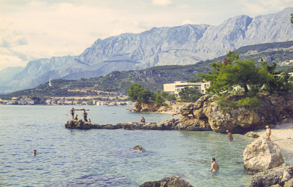
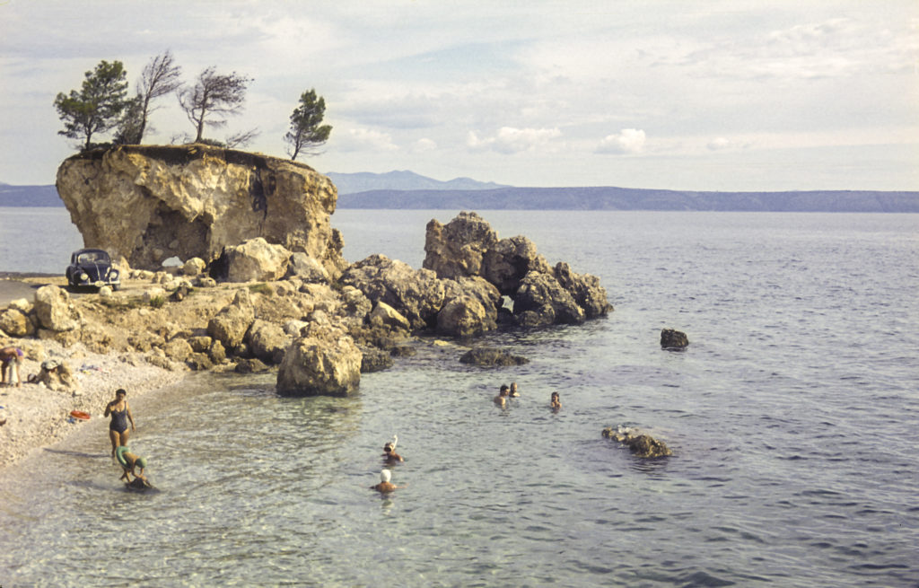
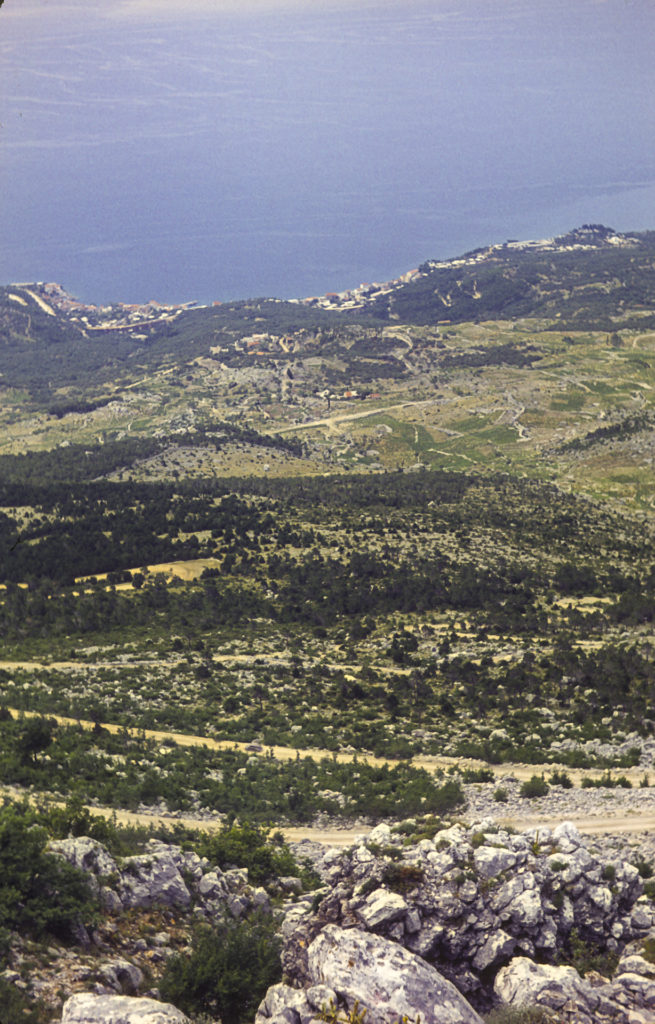
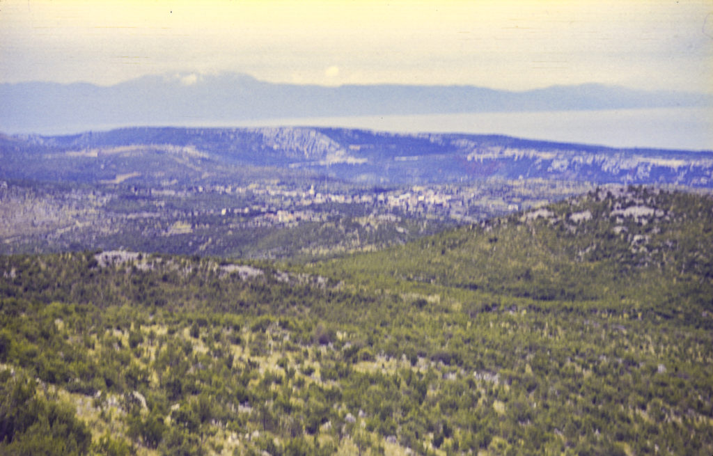
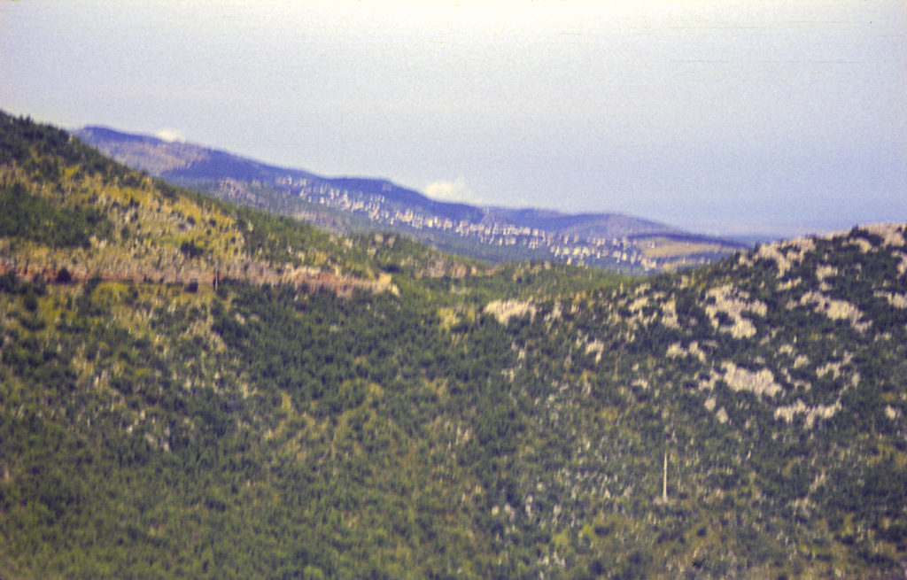
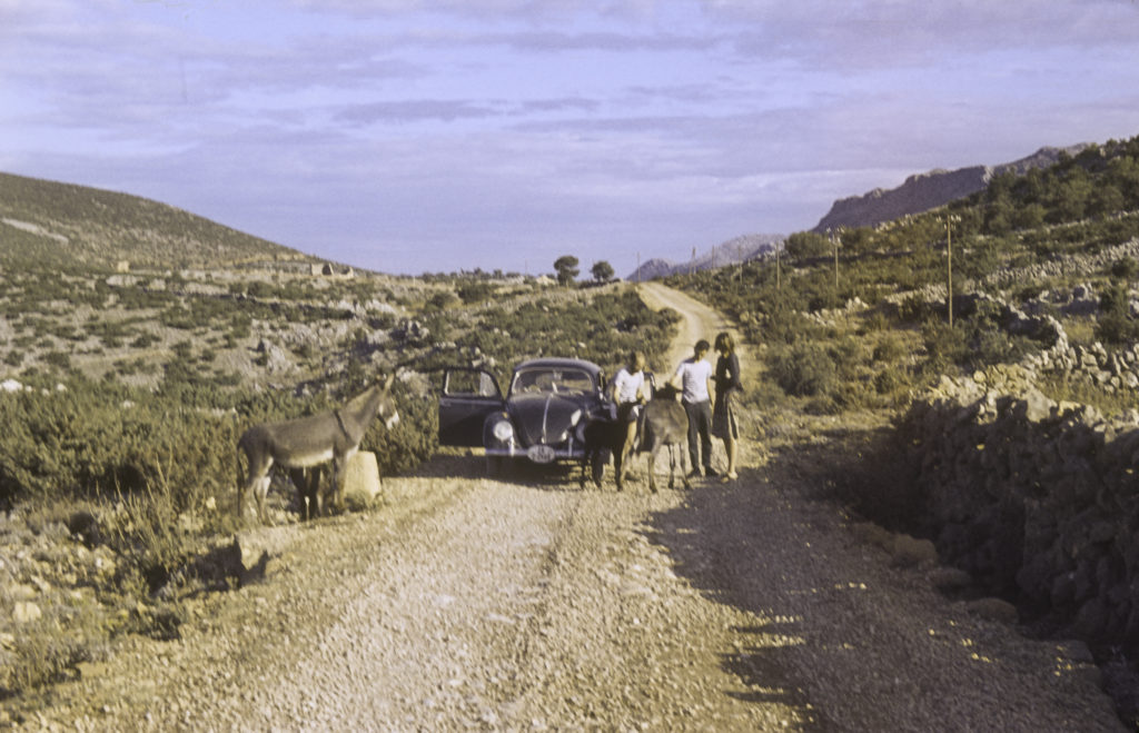
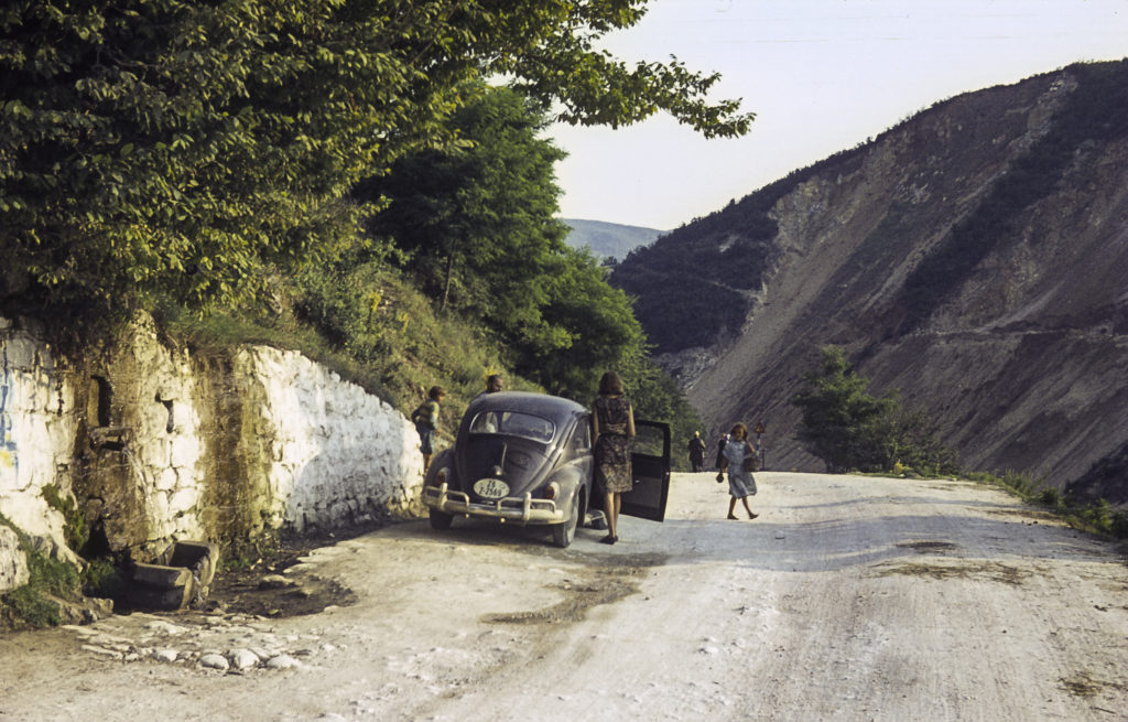
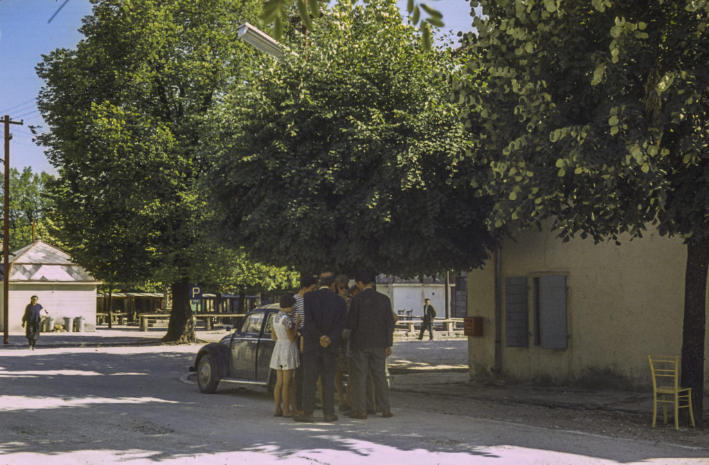
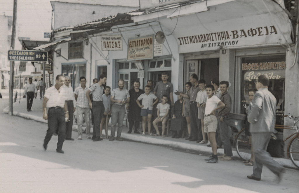
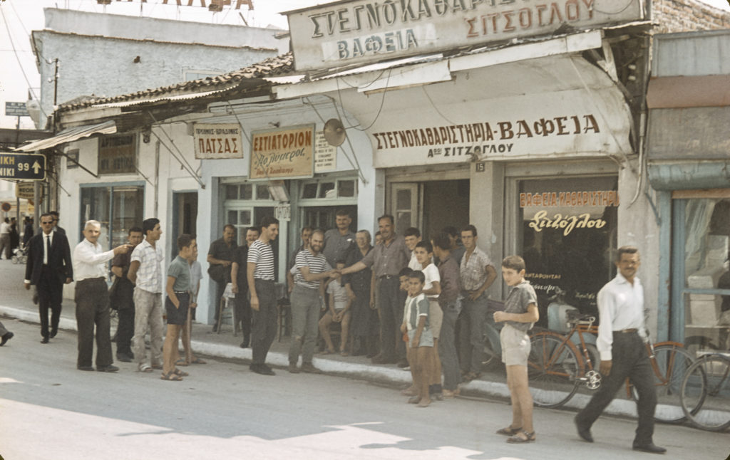
We arrived in Greece toward evening, and immediately everyone in the car sensed a change of atmosphere.  Maybe this was partly because we were out of the mountains and it was warmer, but there was more to it than that; the country had a more prosperous and welcoming look to it as well.  As we had done the previous few nights in Yugoslavia, we pulled over to the side of the road and spread out our sleeping bags in the fields nearby.  In the morning, when we awoke, we encountered some locals who invited us to stop for breakfast in their town, which was called Katerini.

Arrival in Katerini, Greece

It turned out that the people we met owned a bakery and a cafe. In fact, they owned the whole town. They treated us to breakfast and loaded us with goodies that lasted all the way to Athens. Here is Rob shaking hands with the cafe owner.

Hobnobbing with the Locals in Katerini

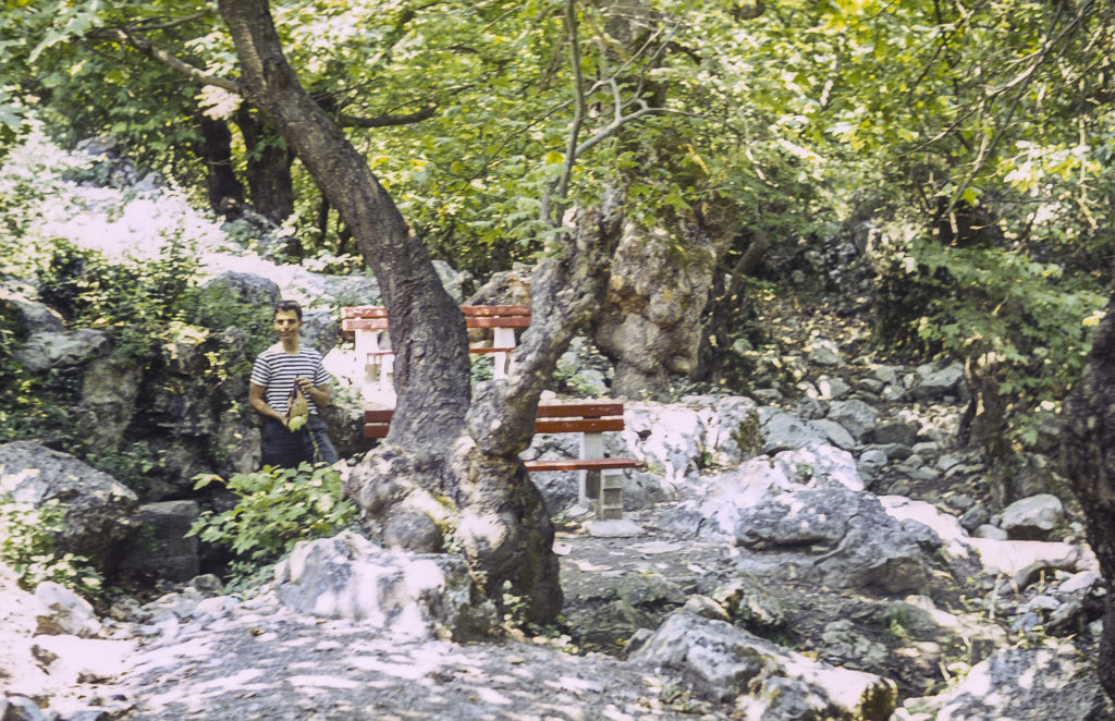
After breakfast we continued southward toward Athens, stopping for lunch and rest in a park in the shadow of Mount Olympus, the tallest mountain in Greece and, of course, the home of the gods. I didn’t see any gods (the guy in the striped shirt to the left of the tree is Alan, my roommate in Munich, who was from New York), but it was a great picnic spot.

Lunch in Mount Olympus National Park, Greece

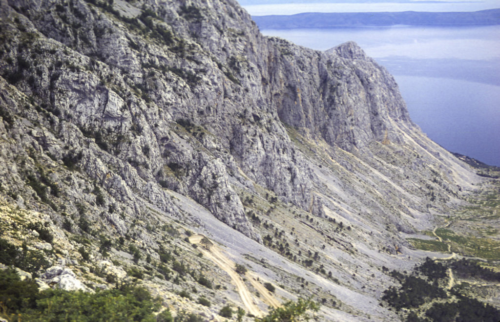
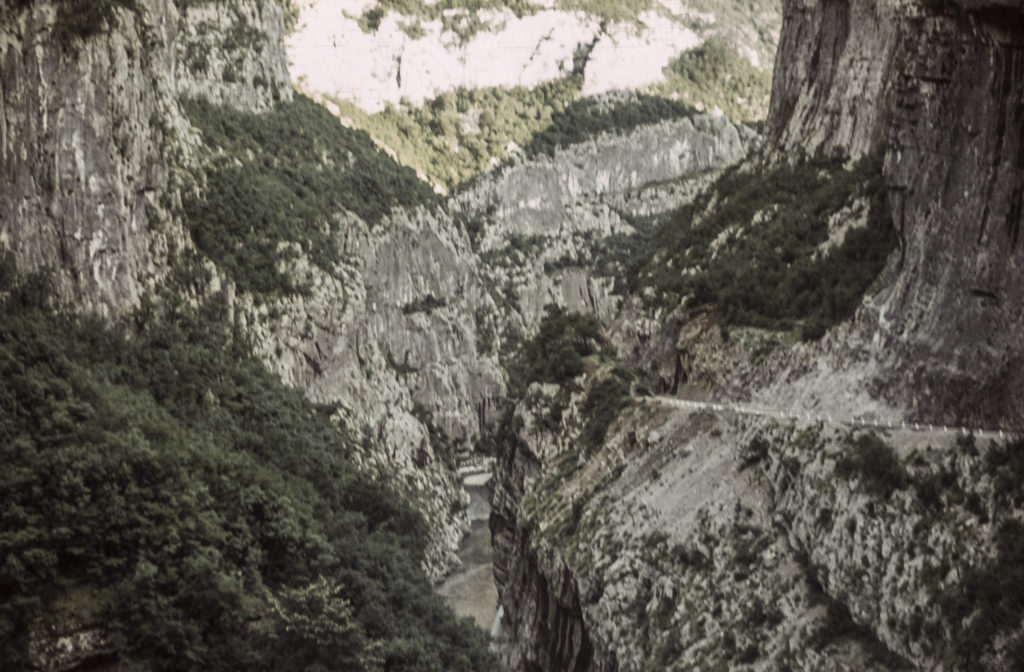
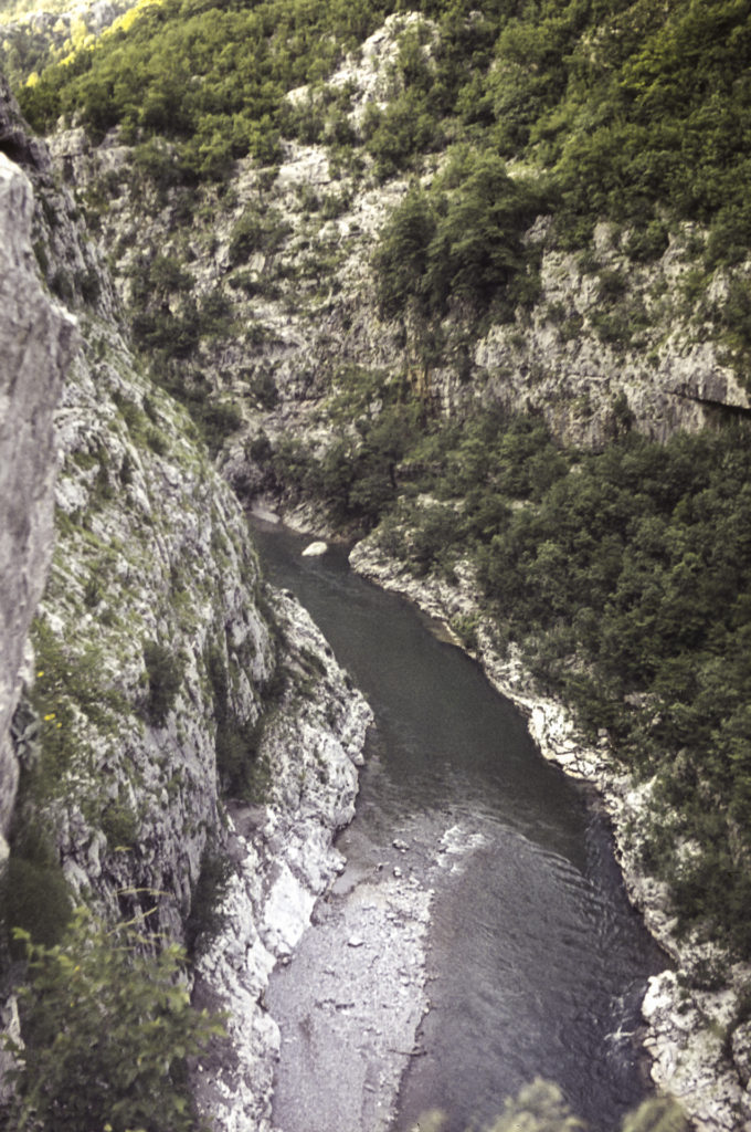
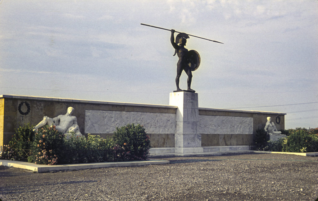
South of Olympus, the road turned inland, but then encountered the coastline again at the narrow pass of Thermopylae, site of the most famous last stand in history. In 480 BC, King Xerxes of Persia invaded Greece with a gigantic army, aiming to crush the Greeks, who had been a thorn in his side for years, once and for all. The Greeks were forever fighting among themselves and it was only with difficulty that they managed to suspend their internecine quarrels to the extent of raising an army of 7,000 men, plus naval forces, to oppose the Persians. The Greeks, led by King Leonidas of Sparta, decided to meet the Persians at Thermopylae, where the narrowness of the road prevented the Persians from bringing their massive numbers to bear and permitted a small force to deny passage to a much larger one. This worked well for several days, until a Greek traitor led the Persians over a path through the mountains that enabled the Persians to take the Greeks in the rear and outflank them. Leonidas became aware of this in time to send the bulk of the Greek army away before the Persians trapped it; but he remained behind with 300 Spartans to hold the pass long enough for the others to get away. The 300 Spartans, along with 700 soldiers from the city of Thespiai, fought to the death. The Persian juggernaut rolled on south to Athens, which they occupied; but the Athenians had evacuated the city and burned it. The Persian conquest of all Greece seemed imminent, but then the Greek fleet, under Athenian command, attached and shattered the Persian fleet in the Battle of Salamis; and the following year, the Greeks got their act together and defeated the Persian army decisively at the Battle of Plataea, ending the Persian invasion.

Memorial to Leonidas and the 300 Spartans

Arriving in Athens, we wandered around looking for a place to stay. It was hard to find our way because we couldn’t read the street signs. I knew only the capital letters of the Greek alphabet, but unfortunately the Greeks, like everyone else, use lower case too. However, we soon found that if we stood on a street corner looking stupid, which is never hard for me to do, a crowd of Greeks would soon collect around us and help us figure out how to find what we needed. We needed an inexpensive place to stay, and with the help of people on the street we not only found one, but ended up in the penthouse.

Our hotel room in Athens

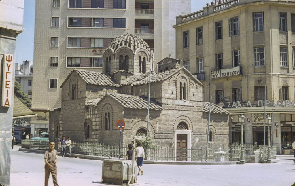
Well, OK, it wasn’t exactly a luxury hotel, and the penthouse didn’t have air conditioning, and the temperature was in the 90s, but on the other hand, we only paid a dollar per night apiece. It was a bargain. Near our hotel was this venerable little Greek Orthodox basilica.

Greek Orthodox Church near Our Hotel

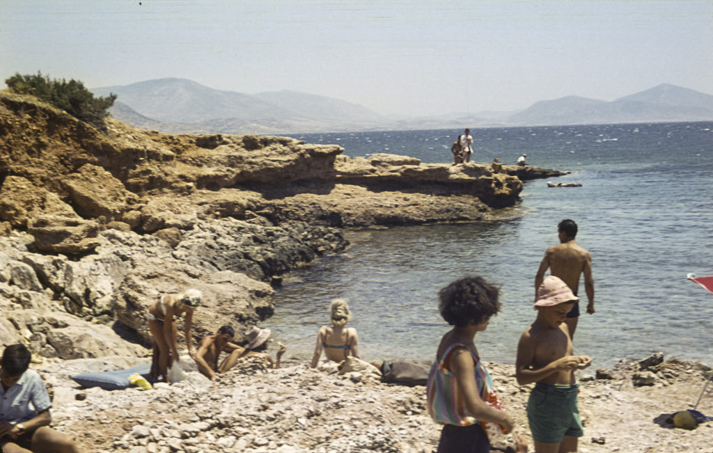
For dinner, we found a nice little taverna nearby and ordered moussaka, a Greek specialty made with eggplant and ground meat. While enjoying our dinner, we made the acquaintance of a 14-year-old Greek girl who was dining at the next table with her family and wanted to practice her English (which was excellent). We were only too glad to take her up on that. She became our native guide, and the next day she and her brother took us to the beach near Piraeus.

On the Beach near Athens, Greece. Our party is at right of center.

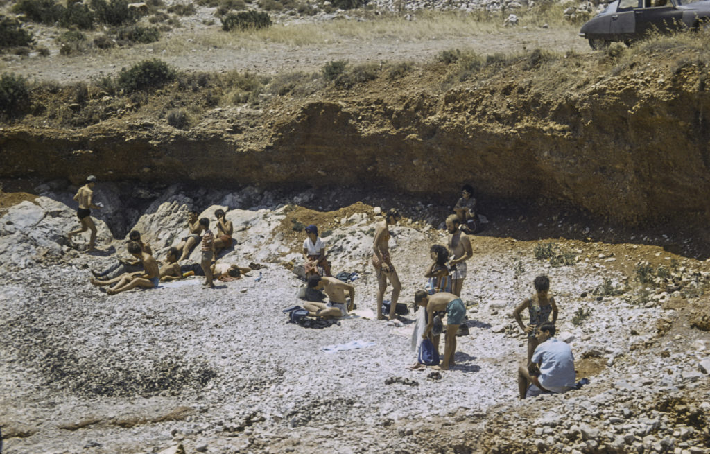
This was my first view of the Aegean sea, famed in history and legend. Our hostess went diving for sea urchins, which are considered a delicacy in Greece (as in many other places, but I have never cared much for them), and she got some spines stuck in her foot.

Our hostess: The girl with Afro-style hair, center-front, and her little brother

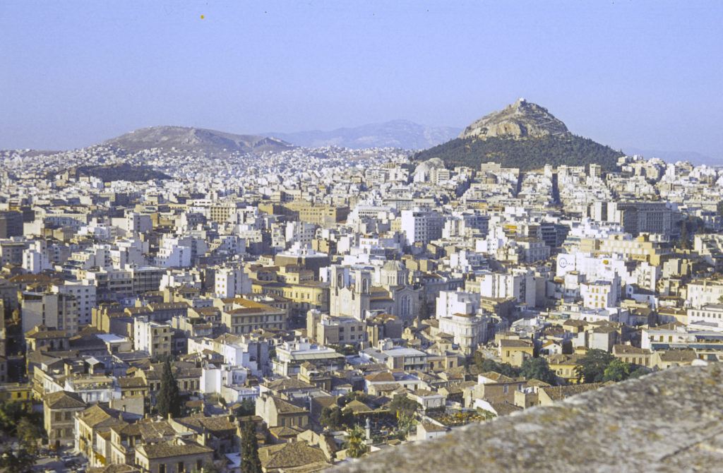
Our Athenian hostess also helped with directions as how best to see the sights of the city. Of course the main stop had to be the Acropolis, the heart of ancient Athens. It was higher than I would have expected, and the view from the top was stunning.

Athens, from the Acropolis. The tall escarpment on the right is Mount Lycabettus, highest point in Athens at 900 feet. A cable car runs to the top.

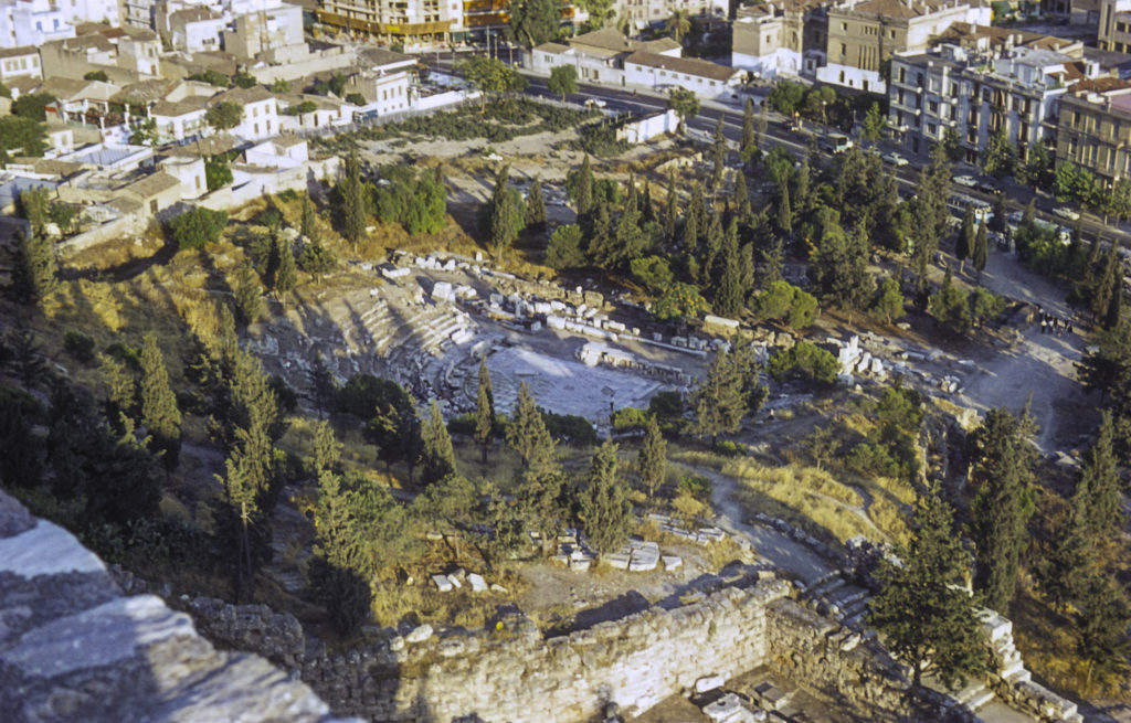
On the south side of the Acropolis are the remains of the Theatre of Dionysus Eleuthereus, the birthplace of Greek tragedy, dating from the fifth century BC. Here is where the plays of Aeschylus, Sophocles, Euripides, and Aristophanes were first performed.

Theater of Dionysius Eleuthereus

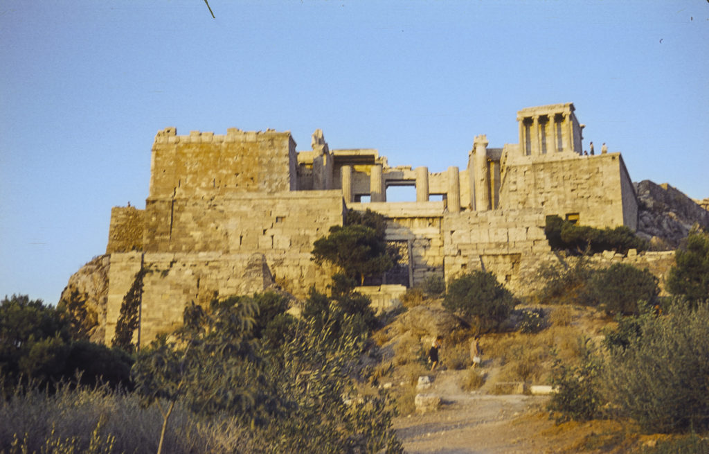
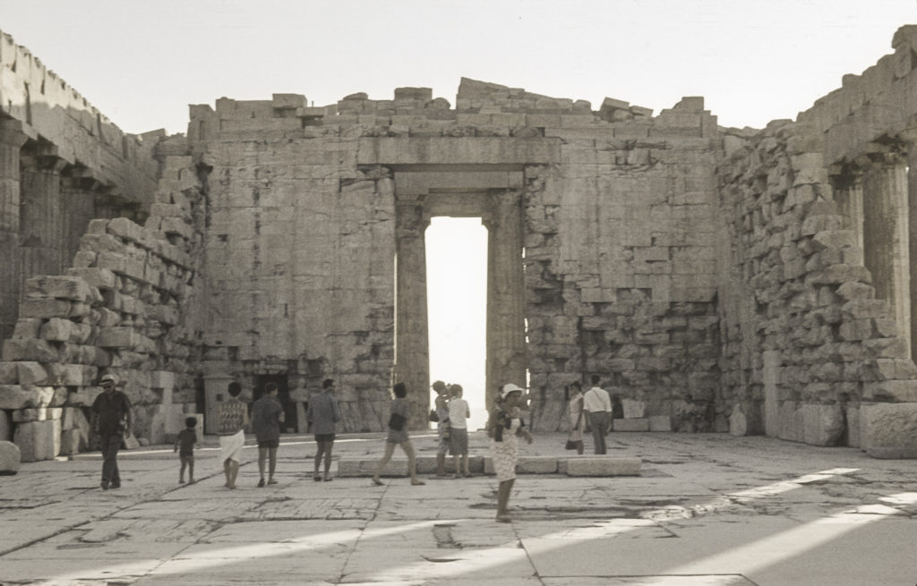
The Propylaea is a monumental gateway constituting the principal entrance to the Acropolis. It was intended to provide a fitting approach to the Parthenon, which was in the final stages of construction when the Propylaea was begun in 437 BC. Work on the Propylaea was interrupted by the outbreak of the Peloponnesian War in 431 BC, and never resumed, but the structure was substantially complete by then.

The Propylaea – Gateway to the Acropolis

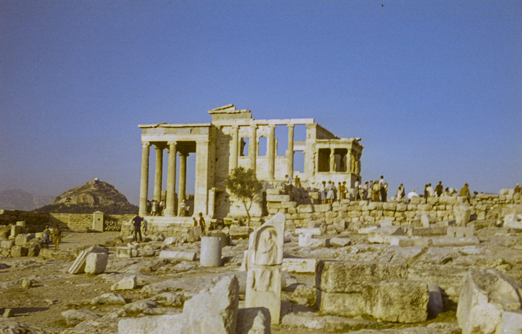
The Erechtheion was a temple to various gods, begun in 421 BC during a truce in the Peloponnesian War and completed in 406. It was named for a mythical king of Athens, Erechtheus. In a war with another city, Erechtheus was supposed to have slain a son of the sea-god Poseidon, but then was himself slain in revenge by Poseidon. Afterward, Poseidon became conflated with his victim, and, under the name Poseidon Erechtheus, was one of the gods to whom the Erechtheion was dedicated. It’s all very confusing.

The Erechtheion

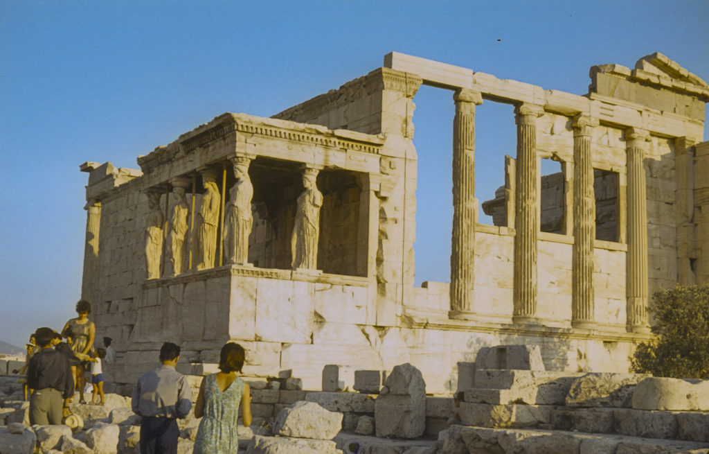
The figures holding up the roof of the porch on the south side of the Erechtheion are the Caryatids, or Korai in classical Greek. In 1801 the British Ambassador to the Ottoman Empire, Thomas Bruce, 7th Earl of Elgin, claiming to have obtained permission from the Turkish authorities, removed one of the Caryatids and attempted to remove another, but only succeeded in wrecking it. He also took pieces of the Parthenon. He then loaded on shipboard and sent it to England; the ship was wrecked on the way, but after much trouble and expense, the marbles were recovered by divers. Elgin incurred considerable opprobrium for his activities, and eventually sold the marbles to the British Museum, where they remain today.

The Erechtheion with the Porch of the Caryatids at left

The crowning glory of the Athenian Acropolis is, of course the Parthenon, perhaps the most famous building in the world. It was built between 447 and 438 BC as part of a building program (which also included the Erechtheion and the Propylaea) instigated by Pericles, the great statesman of Athens’ Golden Age, to celebrate the Greek victory in the Persian Wars and the subsequent rise of Athens to predominance in Greece. The Parthenon was dedicated to Athena, patron goddess of the city, and originally contained a large statue of the goddess, covered in gold. Pictures of the exterior of the Parthenon are ubiquitous; you can find one easily on the Internet, so I’m not going to post one here. Instead I’ll post a couple pictures I took inside the Parthenon.

Interior of the Parthenon

The Parthenon survived various wars, revolutions, fires, earthquakes and other catastrophes for many centuries. The gold was stripped off the statue of Athena by a later ruler of Athens, Lachares, who used it to pay his troops in 296 BCE. In 276 AD Athens was sacked by pirates, who inflicted heavy damage on the Parthenon and other buildings on the Acropolis, but repairs were made. In the fifth century, when paganism became illegal in the Roman empire, the Parthenon was converted into a Christian church, and the statue of Athena was removed to Constantinople, where it was later destroyed. (Many replicas were made of it in antiquity, so we have a good idea of what it looked like.) After the Turks conquered Greece in the fifteenth century, they turned the Parthenon into a mosque. Nevertheless, the structure remained intact until 1687, when, during a war with Venice, the Turks fortified the Acropolis and used the Parthenon to store gunpowder and also as a shelter for local residents. The Venetians fired a mortar shell into the Parthenon and the gunpowder blew up, killing three hundred people, and causing the worst damage suffered by the Parthenon in its history. (The fact that any of it survived at all is testimony to how strongly it was built in the first place.) In 1801 Lord Elgin, as described above, plundered many of the sculptures and other pieces of the Parthenon which had been knocked off by the 1687 explosion, as well as others that weren’t. When Greece gained its independence from the Turks in 1830, efforts at restoration of the buildings on the Acropolis were begun, but these early attempts were generally ill-conceived and inept, and resulted in more harm than benefit. But since 1975, the Greek government has sponsored a more well-considered program to restore the Acropolis structures, with funding and technical help from the European Union. The Greek government has also held talks with the British about recovering the Elgin Marbles, though these have not yet borne fruit. When I visited the Parthenon in 1964, of course, the restoration program was far in the future, but it was still a grand sight.

Janet in the Parthenon

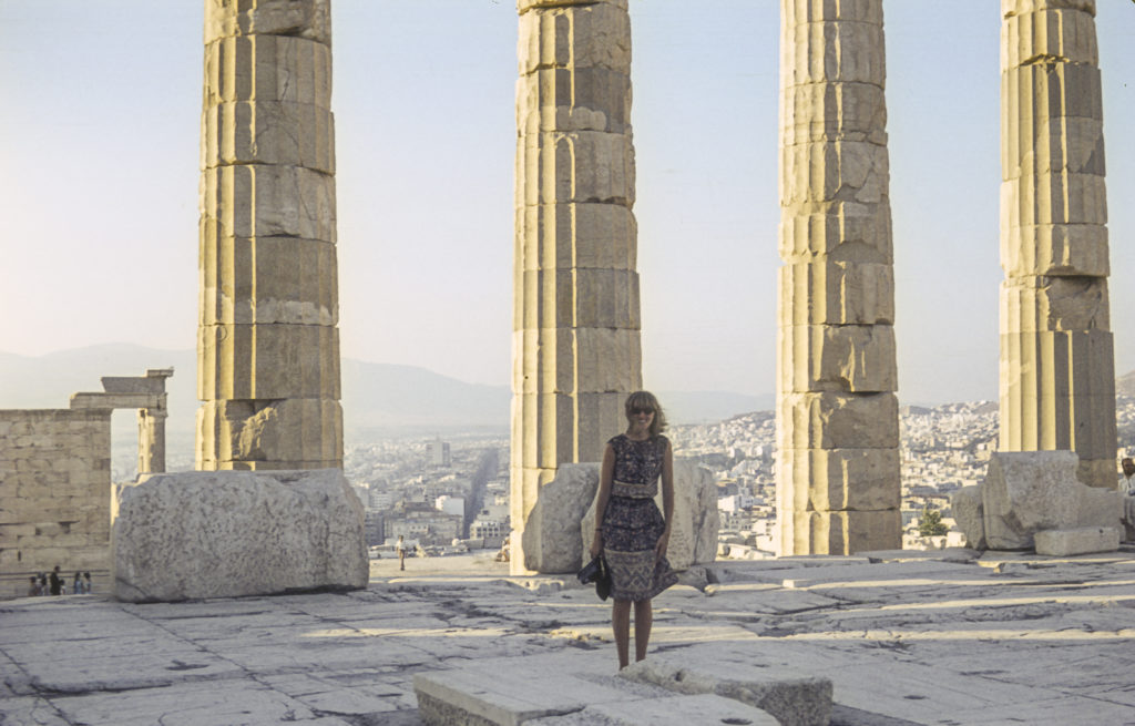
Janet, the girl in the picture above, was from Providence, Rhode Island. I kept in touch with her after the trip and when I was in Naval Officer Candidate School in Newport during the fall of 1964, she invited me for Thanksgiving dinner at her parents’ house in Providence. She picked me up in her Morgan roadster – a fairly uncommon car then, and quite rare nowadays – and brought me back afterward. It was a pleasant interlude in an otherwise rather dreary and arduous period, and I was very grateful to her for it.

Categories
Europe, Summer 1964

Austria and Yugoslavia, Summer 1964

About three weeks into the summer Russian language classes in Munich, a few of us decided that we’d had enough of mind-deadening rote memorization exercises, and when an opportunity to play hooky and do something fun offered itself, we took it.  There was a fellow just out of the Army, I’ll call him Rob, who had a VW and wanted to drive down to Greece, and he wanted some company for the trip.  He already had one passenger, a very tall and personable woman named Janet.  My roommate at Frau Burge’s pension, Alan, and I were only too glad to volunteer for the third and fourth seats.  And so we set forth on what would prove to be an epic odyssey.

To get to Greece from Munich by car, we had to pass through Austria and Yugoslavia.  So, for the second time, I found myself riding through the beautiful Austrian countryside, which is why the first few pictures in this series were taken in Austria.

Austrian Farm Country

I remember that at times during our travels through Austria, I was amazed that there could be so many shades of green in one landscape.

Shades of Green
Austrian Schoolchildren on Bicycles at Bus Station

Many years after making this trip, I saw a movie called “The Last Valley,” which was about the Thirty Years’ War in the seventeenth century. The screenplay was written by James Clavell, the author of Shogun. Although the film was set in Germany, it reminded me of the mountain valleys I had seen in Austria in the summer of 1964. Austria also participated in the Thirty Years’ War, but since it was the stronghold of the Habsburg Monarchy, which was mostly an aggressor rather than a victim in that conflict, Austria suffered much less than the German lands to the north and west of it.

Sheltered Valley in the Austrian Alps

Prior to the Thirty Years’ War (1618-1648), Austria had for a while been a hotbed of Protestantism, but in the late sixteenth century, with the acceleration of the Counter-Reformation, strongly backed by the Hapsburgs, the Protestants were suppressed and Austria returned wholly to the Catholic fold. The Hapsburgs cemented their domination with castles like the one in the picture following.

Castle on Hilltop

The road leading up to the Loibl Pass, where we crossed the border with Yugoslavia (the second time for me) was extremely steep and narrow. On the way up, an Alfa-Romeo driven by a madman sideswiped our VW, causing a few scratches, nothing serious. The two drivers got out and talked about it for a minute, agreed that the damage wasn’t serious enough to go to all the trouble of dealing with insurance companies, and we all went on our way without further ado. A short while after, we passed through Ljubljana – another deja vu for me – but did not tarry there, though we did stop long enough for me to take a picture of a tract of modern-looking apartment houses.

Apartment Buildings in Ljubljana

We headed toward the seaport of Rijeka, where we spent the night. We had no idea where to look for a room, but a woman came up to us in a parking lot and asked, “Wollen Sie zimmer?” – “Do you want rooms?” – assuming we were Germans, because we were driving a VW with German plates, and all the other tourists in town were German. It turned out that she lived, along with the rest of her family, in a large, roomy house that had most likely been expropriated from a bourgeois family by the Communist government of Yugoslavia after World War II and given over to multiple working-class families; that was my guess, anyway, since they clearly only occupied part of the house, and they had to sleep together in one room while we slept all together in another. But the price was right, about a dollar for the night. In the morning, we got up, found something to eat in a nearby marketplace, and went on our way. I didn’t take a picture of the house because what the occupants were doing was illegal and they didn’t want to get in trouble, but I did take a picture of the marketplace.

We spent the night in a private house not far from this square.

The quickest way to get to Greece through Yugoslavia would have been to go east via Zagreb and Belgrade before turning south, and we did come back that way, but we wanted to see other parts of Yugoslavia on the way down to Greece, so we took the Dalmatian coastal route, planning to turn inland after reaching Dubrovnik. Our map showed a four-lane superhighway all the way from Rijeka to Dubrovnik.

The Dalmatian coast is quite picturesque, with lots of little islands offshore which in ancient times were havens for pirates, and more recently for Partisans fighting the Italians and Germans in World War II. The major towns on the way to Dubrovnik are Zadar and Split. There are many coves, bays, and peninsulas, and it turned out that at one or two places we had to take a ferry to get across a body of water that had inconsiderately interposed itself in our way. This accounts for the blurriness of some of the next few photos.

View of Zadar from a ferry

Along the coast there were some splendid rocky beaches with clear emerald-green water and a good many swimmers enjoying it, since it was the middle of summer.

Rocky beach on Dalmatian coast

Somewhere along the way, we parked the car and went for a dip ourselves.

A beach interlude on the Dalmatian coast

An odd fact about the Dalmatian coast is that most of it is owned by Croatia. If you look at a map showing the boundaries of the countries in the area, you will note that Slovenia’s access to the sea is limited entirely to a narrow strip between Trieste, which belongs to Italy, and the Istrian peninsula, which juts out into the northeastern Adriatic and looks like it should be an extension of Slovenia but is in fact part of Croatia. Farther south, if you go just a few miles inland from the seacoast, you find yourself in Bosnia-Herzegovina, which enjoys access to the sea only via a tiny strip of land a few miles north of Dubrovnik, which thus finds itself in an enclave separate from the main part of Croatian Dalmatia. This situation is the result of a lot of complex historical events which I won’t try to relate here, but it deserves mention.

At the Harbor in Split

Somewhere south of Split, we came to a sign with the one word “ASFALT” overlain by a big red “X”, and a little way beyond, the end of the superhighway that was depicted on the map as extending all the way down to Dubrovnik. Another, smaller sign was posted next to what appeared to be a donkey path taking off up the mountain; it said “Dubrovnik >”. With some trepidation, we took it.

A dizzying view of the steep and twisting road up the mountainside from the Adriatic coast.

The donkey path took us inland, into the wilds of Bosnia. We bounced along for miles with no idea how far out of our way we would have to go to get to Dubrovnik. We saw signs pointing to Sarajevo, but we never got anywhere near Sarajevo; I think the largest town we passed was Mostar, but we only saw it from a distance and didn’t drive through it.

A view looking back over the hilly country we had to cross, with the Adriatic in the background.

It was a very dry, treeless, hilly area. We saw rock walls in some places, but little evidence of farming in the fields between them. I wondered what people did for a living in this bleak land.

The dry, rugged hills with scrub vegetation reminded me of Southern California.

You probably thought I was kidding when I called the road a donkey path, but that was indeed what it was. At one point we had to stop for a troika of donkeys standing in the road. We didn’t mind; they were gentle creatures and we made friends with them.

Somewhere near Mostar in Bosnia, we stopped along the road to make friends with three donkeys. The people in the picture are, from left, Rob, Alan and Janet.

When night came on, we were still in the highlands of Bosnia far from any sign of civilization, so we simply stopped and rolled out our sleeping bags on the side of the road. In the morning, when we got up, there were several people, mostly women and children, a little way down the road, waiting for a bus. They didn’t speak English, and we didn’t speak Serbo-Croatian, but we somehow communicated with them and socialized a bit before continuing on our way.

Making friends with some of the locals. Standing next to the car on the passenger side is Janet, with Rob on the left.

Eventually, after what seemed like a couple hundred kilometers, we made our way back to the Adriatic coastline a few miles north of Dubrovnik. We breathed a sigh of relief, little knowing what was still in store for us ahead.

The road back to the Dalmatian coast from the highlands of Bosnia

Finally we arrived in Dubrovnik, which for centuries was an independent city-state, known as the Republic of Ragusa, and a rival of Venice. I knew of it in connection with the Crusades; in 1204 Venice diverted the armies participating in the Fourth Crusade, who found themselves short of travel funds, to pay for their passage by seizing first Ragusa, then Constantinople, instead. Dubrovnik/Ragusa remained subject to Venice until 1358, when it became a vassal-state of the kingdom of Hungary and later of the Ottoman Empire, but enjoyed de facto independence in return for tribute payments. During the Napoleonic Wars, it was occupied by the French, but afterward came under the rule of the Habsburgs. With the breakup of the Austro-Hungarian Empire after World War I, the city was incorporated into the Croatian component of Yugoslavia, and remained in Croatia after the latter declared independence from Yugoslavia in 1991. It is a beautiful city and a mecca for tourists. We did tarry to savor its delights, however, because we wanted to press on to Greece before we ran out of time.

The picturesque city of Dubrovnik, formerly known as Ragusa, is the premier tourist destination on the Dalmatian coast.

From Dubrovnik we headed south to the Bay of Kotor, which is in the mountainous country of Montenegro. This is an Italian name, not what the natives call it, which is Tsrna Gora. Both mean the same thing in English – Black Mountain. The name implies something fearsome and forbidding, and to me, knowing a little about the history of the region, it’s not entirely inappropriate. Anyway, we found ourselves faced with another steep climb up into the mountains from the Bay of Kotor, with a spectacular view awaiting us at the top.

Bay of Kotor, from the road up the mountains into Montenegro, July 1964

The road was taking us toward a town called Cetinje, which was the capital of Montenegro during the days when the country was a monarchy; nowadays the capital is Podgorica. But now we were faced with another problem – we couldn’t get anything to eat. It turned out that it was a holiday, and most shops were closed. The few that were opened mostly refused to serve us and turned us away. We eventually figured out it must be because people thought we were German, since we were driving a German car. This was 1964, only two decades after World War II, and people in that area have long memories. They hadn’t forgotten the atrocities during the occupation, when the Germans killed a hundred villagers for every one of their soldiers killed by the Partisans. Unlike the coastal areas, they didn’t get many tourists in the mountains, and they didn’t feel obliged to cater to them. We dealt with this situation in two ways. One, we scrawled “USA” in the thick coat of dust on the car; and two, we spoke to them in Russian, which is is close enough to Serbo-Croatian that we could at least convince them that we weren’t Germans and were hungry.

Nevertheless, there was still the fact that it was a holiday and few stores were open. But once we got to Cetinje, our luck took a turn for the better. Reaching what looked like the center of town, we parked the car and got out. An old man walking by checked out our car and said in English, “What does this USA on your car mean?” We answered, “That’s where we’re from,” and he said, “Oh, I used to live there.” It turned out that he had emigrated to the United States before the First World War, had enlisted in the US Army and fought on the American Side during the war, and after the war had returned to Cetinje and remained there ever since. But he hadn’t forgotten his English, though he said he had trouble at his age remembering things that happened yesterday. By then a crowd had gathered round us and he had to explain to them what was going on. Soon people were showing up with bread and other things to eat, and we had enough food for several days. In addition, he queried us about where we were headed and told us which roads to take and which to avoid; this turned out to be a godsend, because our map, as we had already found, was somewhat over-optimistic about the quality of Yugoslavian roads.

Cetinje – Old Royal Capital of Montenegro – July 1964

The route recommended by our benefactor sent us on took us north through the canyon of the Neretva River, on a narrow road dug into the side of the cliffs. The views were spectacular.

Neretva River Canyon, Yugoslavia, July 1964

We really didn’t want to take any risks on this road. There were few places to stop or pass, and it was long way down to the river below. I can’t imagine what the roads would have been like had we taken the more direct routes shown on our tourist map; I suspect they would have required four-wheel drive.

Neretva River Canyon, Yugoslavia, July 1964

Having miraculously emerged unscathed from the Neretva Canyon, we continued northeast, and entered the Sanjak of Novi Pazar, one of the most godforsaken places I have ever been. There were no towns, no gas stations, no cafes, and few people. The few people we did see were mostly women herding goats, and from their dress I guessed that they were Muslim. Evidently they didn’t get many outsiders in this area, because most of them gave us the sign to ward off the evil eye as we passed. We never saw the major town, Novi Pazar, because we reached our next turnoff before we got there. This took us into the region of Kosovo, which we had never heard of at the time. Then it was part of Serbia; now it is a separate country, as is Macedonia, the last part of Yugoslavia we had to traverse before arriving in Greece.

Somewhere on the road in Kosovo we had to stop for the night, and as usual we rolled out our sleeping bags at the side of the road, in what turned out to be a farmer’s field. The farmer himself came along just as we woke up in the morning, shook hands and greeted us cordially, and we made what conversation we could with him before heading down the road. Which continued to be awful; it seemed that we could only make about 5 or 10 kilometers per hour. I remember, though, seeing a Frenchman pass us nonchalantly in a Citroën pulling a trailer, going about 40; although I never had much regard for Citroëns, they obviously had better suspension than the VW. The poor Beetle’s muffler was totally destroyed by driving on Yugoslavian roads, and we had the first of five flat tires about that time – the other four occurred on the way back from Greece. We had the flat fixed at our next destination, which was the city of Skopje, capital of Macedonia.

Skopje had been hit by a tremendous earthquake (a common occurrence in the Balkans) about six months before our arrival, and it was a mess. It didn’t look like it could have been very prosperous before the earthquake, either. I hope that its fortunes have improved since Macedonia achieved independence. Anyhow, we got the flat fixed and went on to Greece.

When we came back from Greece, we took a different and faster route, up the valley of the Morava, which flows north through the middle of Serbia, to Belgrade. I took few pictures on the way back because I had used up most of my film, but I did get a shot of the National Assembly building in Belgrade. From Belgrade we went west to Zagreb, and thence through Slovenia and Austria back to Munich, arriving a couple of days before our tour group’s scheduled departure for the USSR.

In 1964 this building housed the Federal Assembly of Yugoslavia. After the breakup of Yugoslavia, it resumed its role as the House of the National Assembly of Serbia, which it had been before the formation of Yugoslavia after World War I.