About three weeks into the summer Russian language classes in Munich, a few of us decided that we’d had enough of mind-deadening rote memorization exercises, and when an opportunity to play hooky and do something fun offered itself, we took it. There was a fellow just out of the Army, I’ll call him Rob, who had a VW and wanted to drive down to Greece, and he wanted some company for the trip. He already had one passenger, a very tall and personable woman named Janet. My roommate at Frau Burge’s pension, Alan, and I were only too glad to volunteer for the third and fourth seats. And so we set forth on what would prove to be an epic odyssey.
To get to Greece from Munich by car, we had to pass through Austria and Yugoslavia. So, for the second time, I found myself riding through the beautiful Austrian countryside, which is why the first few pictures in this series were taken in Austria.
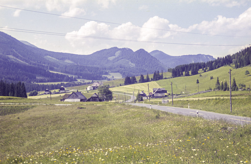
I remember that at times during our travels through Austria, I was amazed that there could be so many shades of green in one landscape.
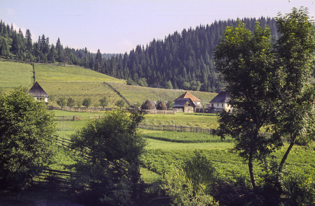
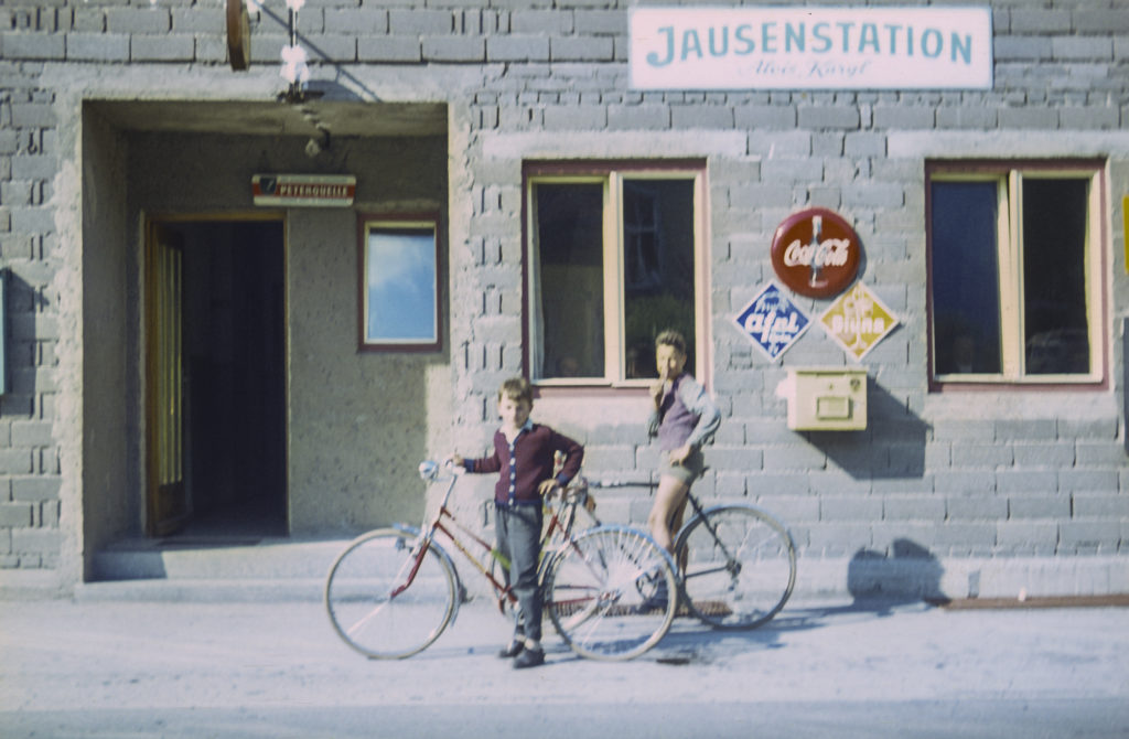
Many years after making this trip, I saw a movie called “The Last Valley,” which was about the Thirty Years’ War in the seventeenth century. The screenplay was written by James Clavell, the author of Shogun. Although the film was set in Germany, it reminded me of the mountain valleys I had seen in Austria in the summer of 1964. Austria also participated in the Thirty Years’ War, but since it was the stronghold of the Habsburg Monarchy, which was mostly an aggressor rather than a victim in that conflict, Austria suffered much less than the German lands to the north and west of it.
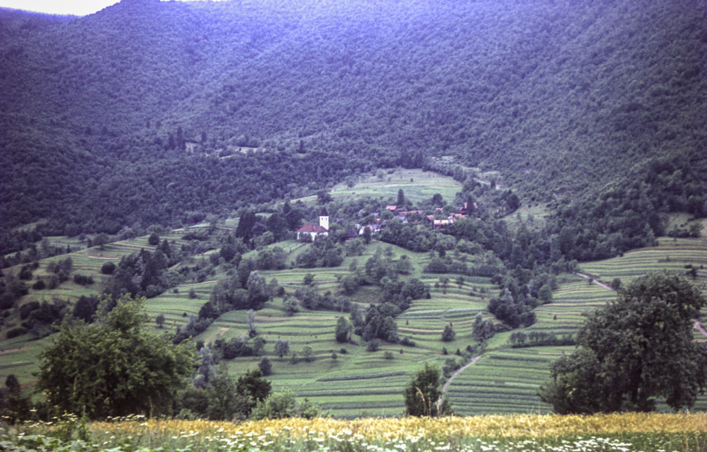
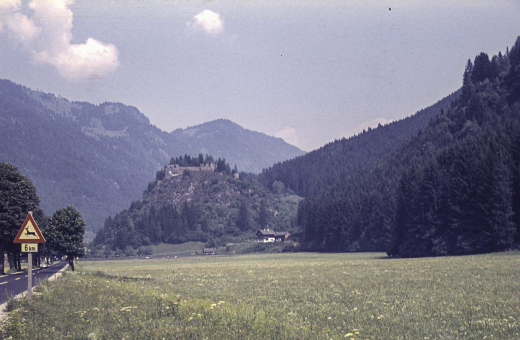
Prior to the Thirty Years’ War (1618-1648), Austria had for a while been a hotbed of Protestantism, but in the late sixteenth century, with the acceleration of the Counter-Reformation, strongly backed by the Hapsburgs, the Protestants were suppressed and Austria returned wholly to the Catholic fold. The Hapsburgs cemented their domination with castles like the one in the picture following.
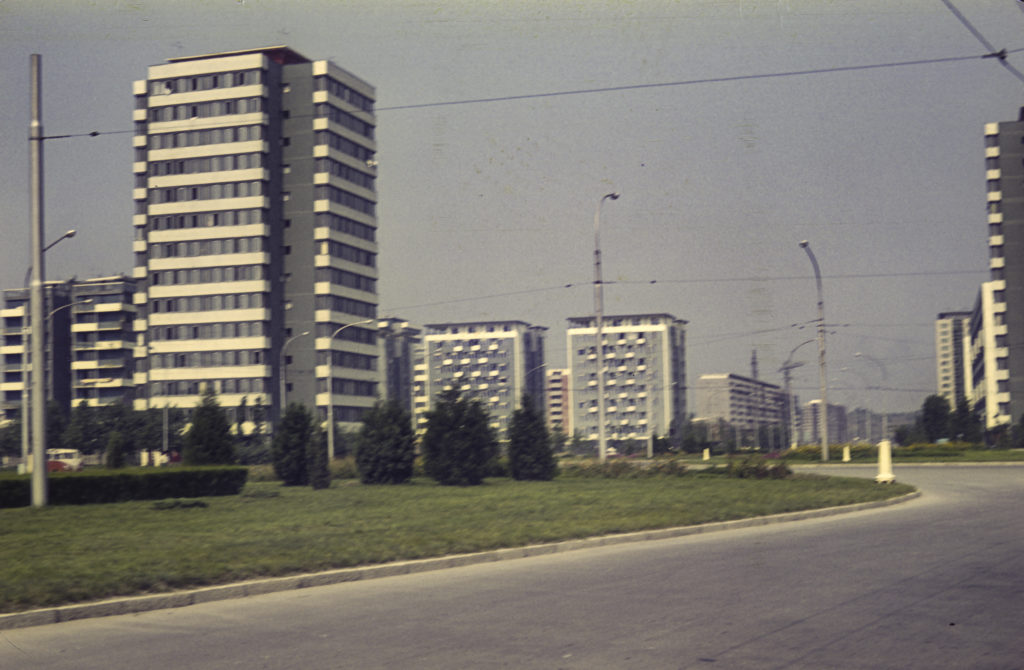
The road leading up to the Loibl Pass, where we crossed the border with Yugoslavia (the second time for me) was extremely steep and narrow. On the way up, an Alfa-Romeo driven by a madman sideswiped our VW, causing a few scratches, nothing serious. The two drivers got out and talked about it for a minute, agreed that the damage wasn’t serious enough to go to all the trouble of dealing with insurance companies, and we all went on our way without further ado. A short while after, we passed through Ljubljana – another deja vu for me – but did not tarry there, though we did stop long enough for me to take a picture of a tract of modern-looking apartment houses.
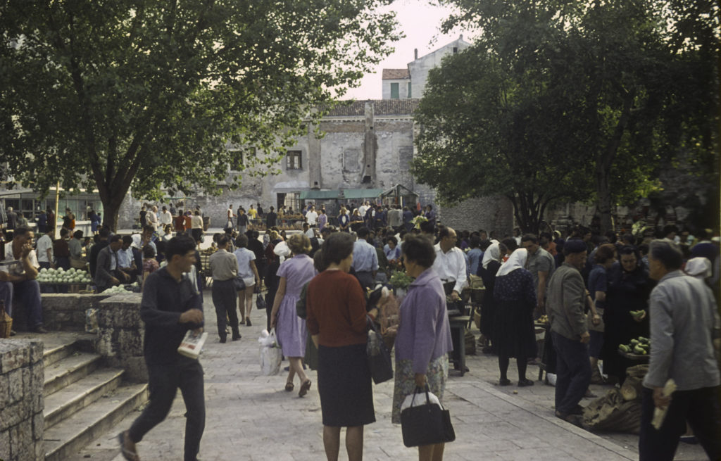
We headed toward the seaport of Rijeka, where we spent the night. We had no idea where to look for a room, but a woman came up to us in a parking lot and asked, “Wollen Sie zimmer?” – “Do you want rooms?” – assuming we were Germans, because we were driving a VW with German plates, and all the other tourists in town were German. It turned out that she lived, along with the rest of her family, in a large, roomy house that had most likely been expropriated from a bourgeois family by the Communist government of Yugoslavia after World War II and given over to multiple working-class families; that was my guess, anyway, since they clearly only occupied part of the house, and they had to sleep together in one room while we slept all together in another. But the price was right, about a dollar for the night. In the morning, we got up, found something to eat in a nearby marketplace, and went on our way. I didn’t take a picture of the house because what the occupants were doing was illegal and they didn’t want to get in trouble, but I did take a picture of the marketplace.
The quickest way to get to Greece through Yugoslavia would have been to go east via Zagreb and Belgrade before turning south, and we did come back that way, but we wanted to see other parts of Yugoslavia on the way down to Greece, so we took the Dalmatian coastal route, planning to turn inland after reaching Dubrovnik. Our map showed a four-lane superhighway all the way from Rijeka to Dubrovnik.
The Dalmatian coast is quite picturesque, with lots of little islands offshore which in ancient times were havens for pirates, and more recently for Partisans fighting the Italians and Germans in World War II. The major towns on the way to Dubrovnik are Zadar and Split. There are many coves, bays, and peninsulas, and it turned out that at one or two places we had to take a ferry to get across a body of water that had inconsiderately interposed itself in our way. This accounts for the blurriness of some of the next few photos.
Along the coast there were some splendid rocky beaches with clear emerald-green water and a good many swimmers enjoying it, since it was the middle of summer.
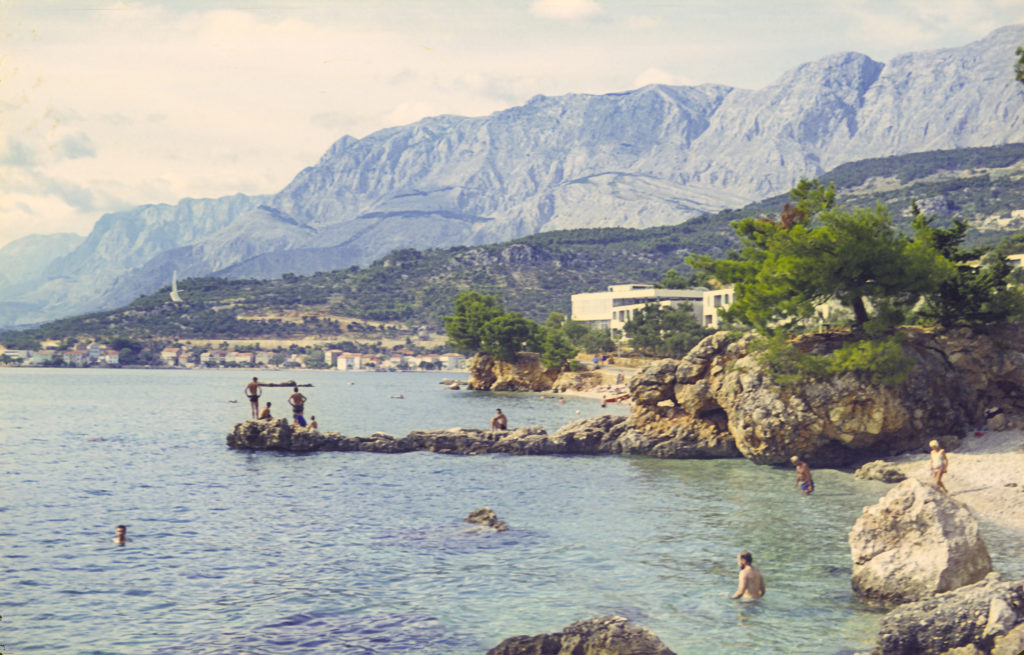
Somewhere along the way, we parked the car and went for a dip ourselves.
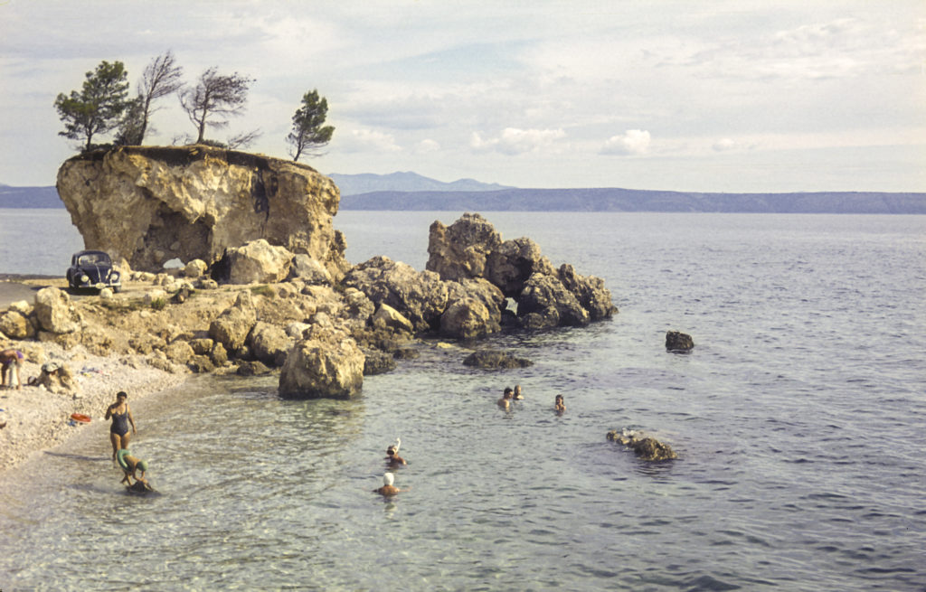
An odd fact about the Dalmatian coast is that most of it is owned by Croatia. If you look at a map showing the boundaries of the countries in the area, you will note that Slovenia’s access to the sea is limited entirely to a narrow strip between Trieste, which belongs to Italy, and the Istrian peninsula, which juts out into the northeastern Adriatic and looks like it should be an extension of Slovenia but is in fact part of Croatia. Farther south, if you go just a few miles inland from the seacoast, you find yourself in Bosnia-Herzegovina, which enjoys access to the sea only via a tiny strip of land a few miles north of Dubrovnik, which thus finds itself in an enclave separate from the main part of Croatian Dalmatia. This situation is the result of a lot of complex historical events which I won’t try to relate here, but it deserves mention.
Somewhere south of Split, we came to a sign with the one word “ASFALT” overlain by a big red “X”, and a little way beyond, the end of the superhighway that was depicted on the map as extending all the way down to Dubrovnik. Another, smaller sign was posted next to what appeared to be a donkey path taking off up the mountain; it said “Dubrovnik >”. With some trepidation, we took it.
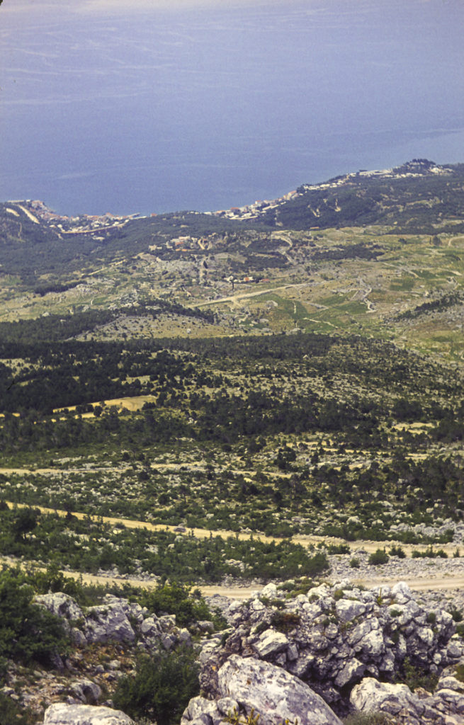
The donkey path took us inland, into the wilds of Bosnia. We bounced along for miles with no idea how far out of our way we would have to go to get to Dubrovnik. We saw signs pointing to Sarajevo, but we never got anywhere near Sarajevo; I think the largest town we passed was Mostar, but we only saw it from a distance and didn’t drive through it.
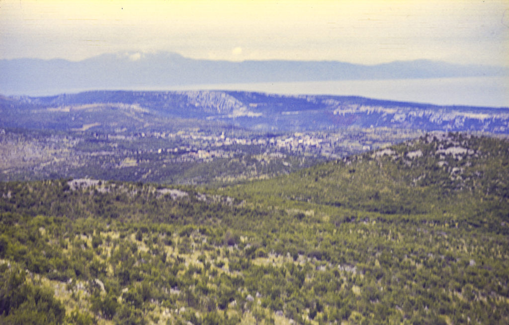
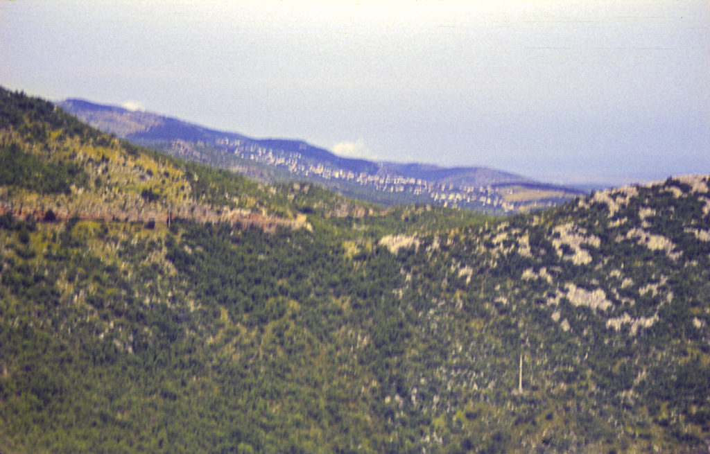
It was a very dry, treeless, hilly area. We saw rock walls in some places, but little evidence of farming in the fields between them. I wondered what people did for a living in this bleak land.
You probably thought I was kidding when I called the road a donkey path, but that was indeed what it was. At one point we had to stop for a troika of donkeys standing in the road. We didn’t mind; they were gentle creatures and we made friends with them.
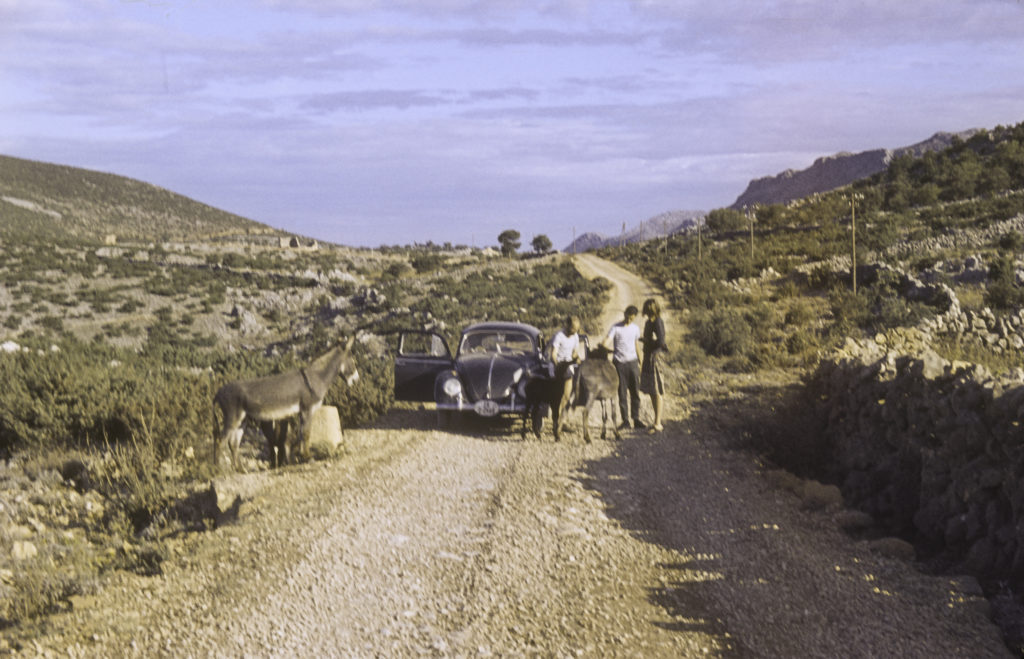
When night came on, we were still in the highlands of Bosnia far from any sign of civilization, so we simply stopped and rolled out our sleeping bags on the side of the road. In the morning, when we got up, there were several people, mostly women and children, a little way down the road, waiting for a bus. They didn’t speak English, and we didn’t speak Serbo-Croatian, but we somehow communicated with them and socialized a bit before continuing on our way.
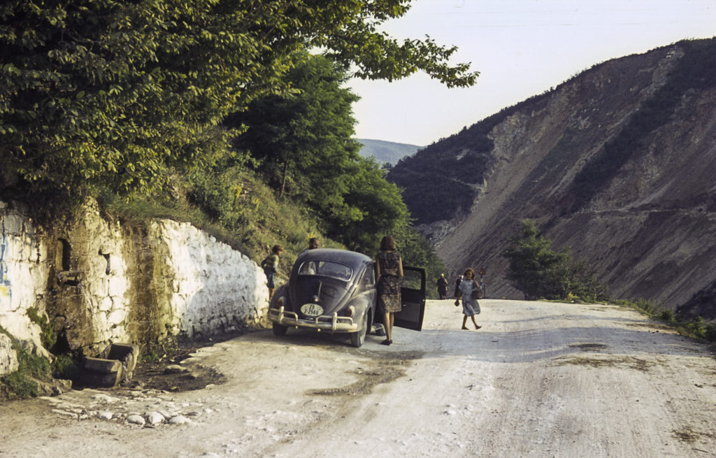
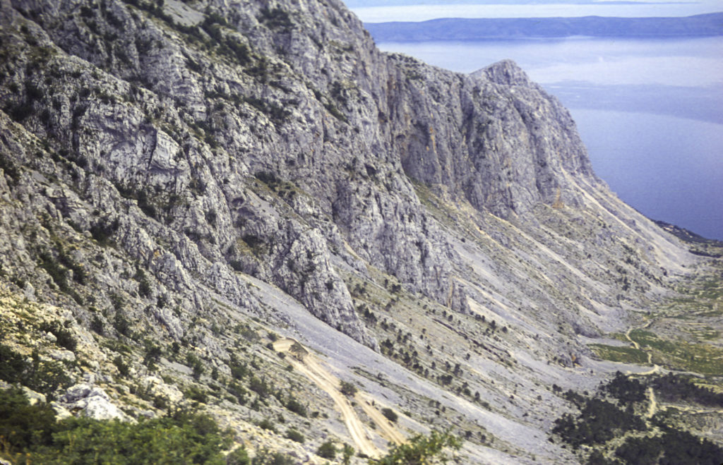
Eventually, after what seemed like a couple hundred kilometers, we made our way back to the Adriatic coastline a few miles north of Dubrovnik. We breathed a sigh of relief, little knowing what was still in store for us ahead.
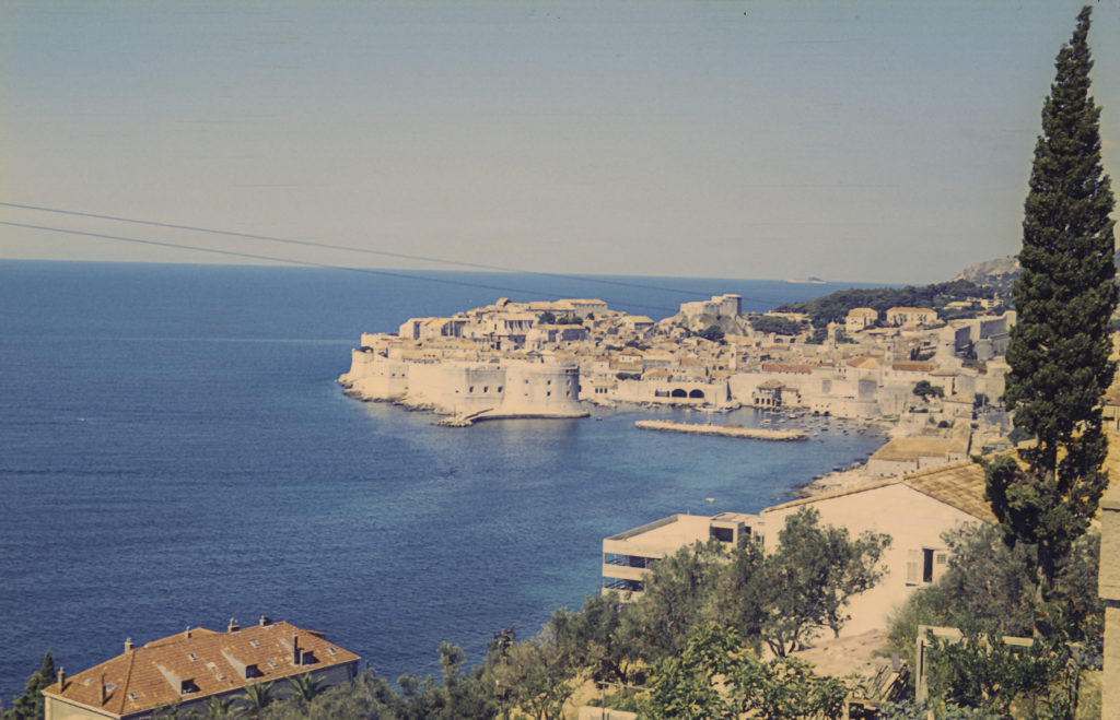
Finally we arrived in Dubrovnik, which for centuries was an independent city-state, known as the Republic of Ragusa, and a rival of Venice. I knew of it in connection with the Crusades; in 1204 Venice diverted the armies participating in the Fourth Crusade, who found themselves short of travel funds, to pay for their passage by seizing first Ragusa, then Constantinople, instead. Dubrovnik/Ragusa remained subject to Venice until 1358, when it became a vassal-state of the kingdom of Hungary and later of the Ottoman Empire, but enjoyed de facto independence in return for tribute payments. During the Napoleonic Wars, it was occupied by the French, but afterward came under the rule of the Habsburgs. With the breakup of the Austro-Hungarian Empire after World War I, the city was incorporated into the Croatian component of Yugoslavia, and remained in Croatia after the latter declared independence from Yugoslavia in 1991. It is a beautiful city and a mecca for tourists. We did tarry to savor its delights, however, because we wanted to press on to Greece before we ran out of time.
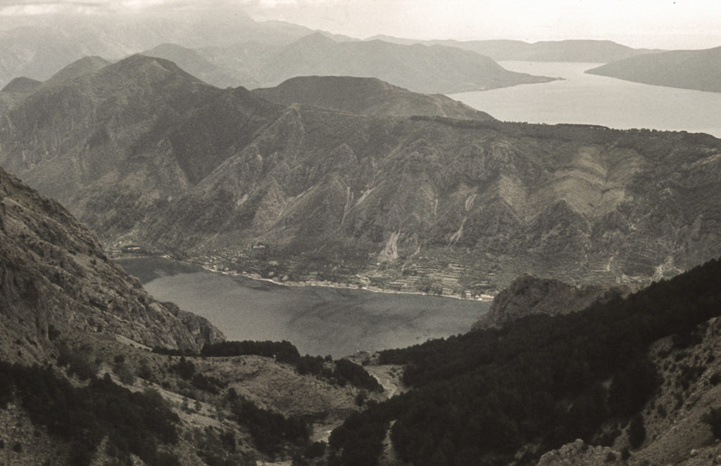
From Dubrovnik we headed south to the Bay of Kotor, which is in the mountainous country of Montenegro. This is an Italian name, not what the natives call it, which is Tsrna Gora. Both mean the same thing in English – Black Mountain. The name implies something fearsome and forbidding, and to me, knowing a little about the history of the region, it’s not entirely inappropriate. Anyway, we found ourselves faced with another steep climb up into the mountains from the Bay of Kotor, with a spectacular view awaiting us at the top.
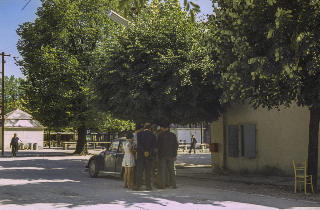
The road was taking us toward a town called Cetinje, which was the capital of Montenegro during the days when the country was a monarchy; nowadays the capital is Podgorica. But now we were faced with another problem – we couldn’t get anything to eat. It turned out that it was a holiday, and most shops were closed. The few that were opened mostly refused to serve us and turned us away. We eventually figured out it must be because people thought we were German, since we were driving a German car. This was 1964, only two decades after World War II, and people in that area have long memories. They hadn’t forgotten the atrocities during the occupation, when the Germans killed a hundred villagers for every one of their soldiers killed by the Partisans. Unlike the coastal areas, they didn’t get many tourists in the mountains, and they didn’t feel obliged to cater to them. We dealt with this situation in two ways. One, we scrawled “USA” in the thick coat of dust on the car; and two, we spoke to them in Russian, which is is close enough to Serbo-Croatian that we could at least convince them that we weren’t Germans and were hungry.
Nevertheless, there was still the fact that it was a holiday and few stores were open. But once we got to Cetinje, our luck took a turn for the better. Reaching what looked like the center of town, we parked the car and got out. An old man walking by checked out our car and said in English, “What does this USA on your car mean?” We answered, “That’s where we’re from,” and he said, “Oh, I used to live there.” It turned out that he had emigrated to the United States before the First World War, had enlisted in the US Army and fought on the American Side during the war, and after the war had returned to Cetinje and remained there ever since. But he hadn’t forgotten his English, though he said he had trouble at his age remembering things that happened yesterday. By then a crowd had gathered round us and he had to explain to them what was going on. Soon people were showing up with bread and other things to eat, and we had enough food for several days. In addition, he queried us about where we were headed and told us which roads to take and which to avoid; this turned out to be a godsend, because our map, as we had already found, was somewhat over-optimistic about the quality of Yugoslavian roads.
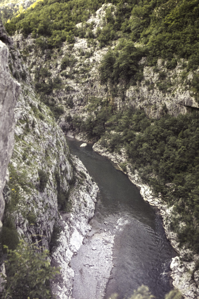
The route recommended by our benefactor sent us on took us north through the canyon of the Neretva River, on a narrow road dug into the side of the cliffs. The views were spectacular.
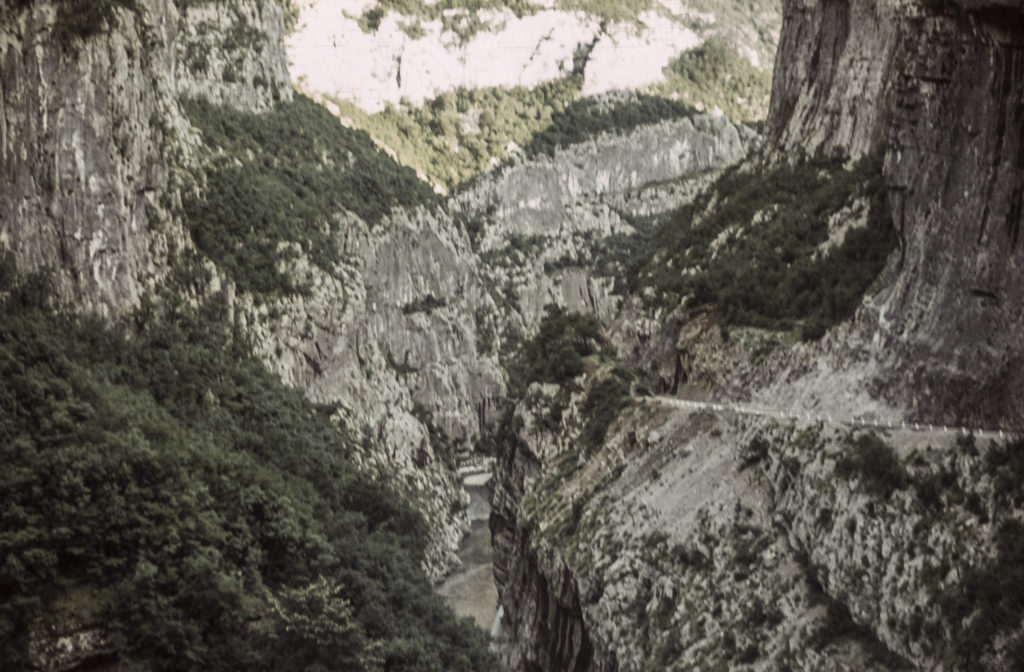
We really didn’t want to take any risks on this road. There were few places to stop or pass, and it was long way down to the river below. I can’t imagine what the roads would have been like had we taken the more direct routes shown on our tourist map; I suspect they would have required four-wheel drive.
Having miraculously emerged unscathed from the Neretva Canyon, we continued northeast, and entered the Sanjak of Novi Pazar, one of the most godforsaken places I have ever been. There were no towns, no gas stations, no cafes, and few people. The few people we did see were mostly women herding goats, and from their dress I guessed that they were Muslim. Evidently they didn’t get many outsiders in this area, because most of them gave us the sign to ward off the evil eye as we passed. We never saw the major town, Novi Pazar, because we reached our next turnoff before we got there. This took us into the region of Kosovo, which we had never heard of at the time. Then it was part of Serbia; now it is a separate country, as is Macedonia, the last part of Yugoslavia we had to traverse before arriving in Greece.
Somewhere on the road in Kosovo we had to stop for the night, and as usual we rolled out our sleeping bags at the side of the road, in what turned out to be a farmer’s field. The farmer himself came along just as we woke up in the morning, shook hands and greeted us cordially, and we made what conversation we could with him before heading down the road. Which continued to be awful; it seemed that we could only make about 5 or 10 kilometers per hour. I remember, though, seeing a Frenchman pass us nonchalantly in a Citroën pulling a trailer, going about 40; although I never had much regard for Citroëns, they obviously had better suspension than the VW. The poor Beetle’s muffler was totally destroyed by driving on Yugoslavian roads, and we had the first of five flat tires about that time – the other four occurred on the way back from Greece. We had the flat fixed at our next destination, which was the city of Skopje, capital of Macedonia.
Skopje had been hit by a tremendous earthquake (a common occurrence in the Balkans) about six months before our arrival, and it was a mess. It didn’t look like it could have been very prosperous before the earthquake, either. I hope that its fortunes have improved since Macedonia achieved independence. Anyhow, we got the flat fixed and went on to Greece.
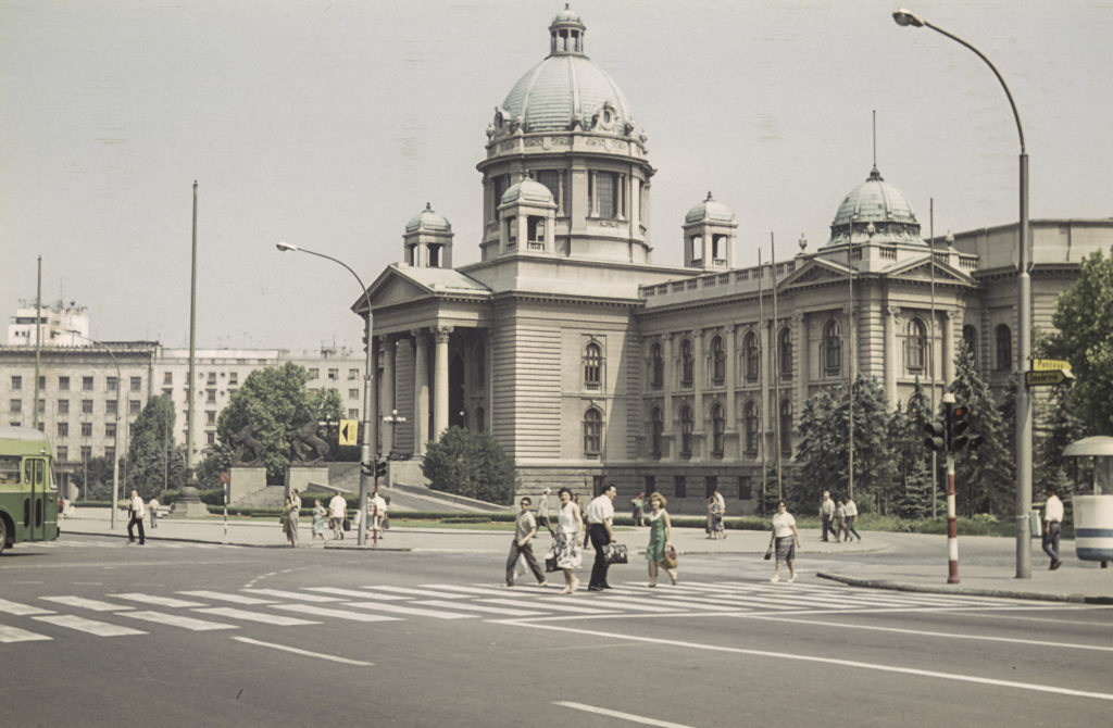
When we came back from Greece, we took a different and faster route, up the valley of the Morava, which flows north through the middle of Serbia, to Belgrade. I took few pictures on the way back because I had used up most of my film, but I did get a shot of the National Assembly building in Belgrade. From Belgrade we went west to Zagreb, and thence through Slovenia and Austria back to Munich, arriving a couple of days before our tour group’s scheduled departure for the USSR.
