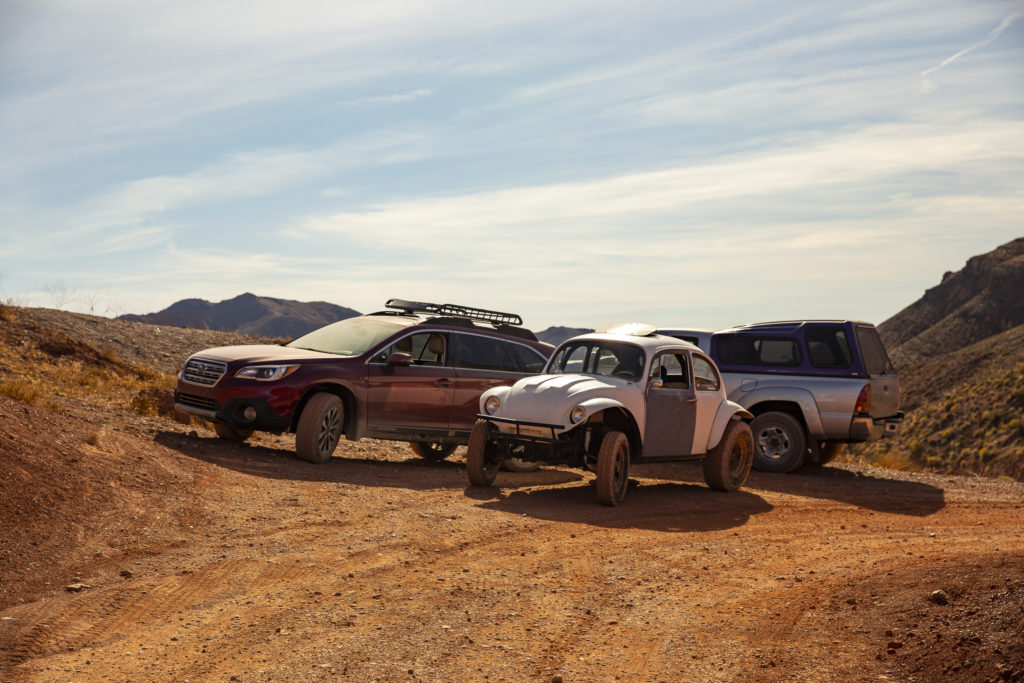
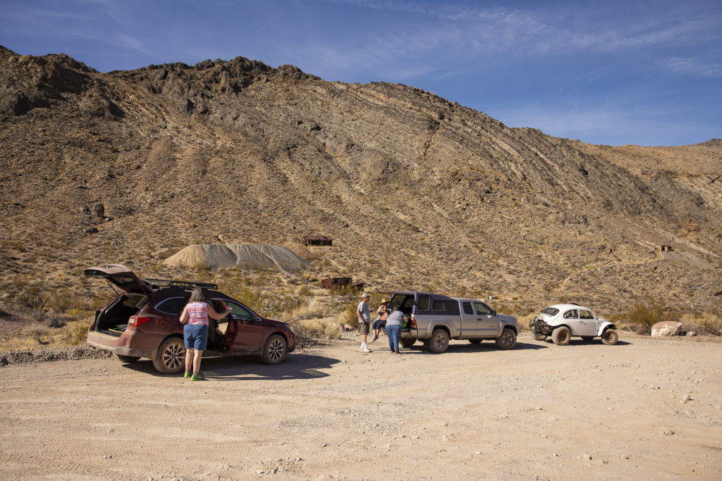
Mike wanted to test his Baja Bug on some of the unpaved roads in DVNP, and he got his chance the morning after we arrived, when we made an excursion through Titus Canyon. JoAnn and Diana rode in Boudicea (Jo’s truck), Kelly went with Mike in the Baja Bug, and Sandie and I took Red Sonja, our Subaru Outback, with Sandie driving and Jock, as usual, riding in the back seat.
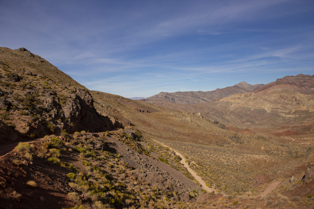
The Titus Canyon road was considered an engineering marvel when it was originally built during the 1920s. It is a spectacular route, winding up through mountain passes to heights of over 5000 feet, then down through the rugged fastnesses of the Narrows to Death Valley. It is an unpaved road, rugged and bumpy but easily traversed by high-clearance two-wheel drive vehicles, though you might not want to drive your Corvette on it.
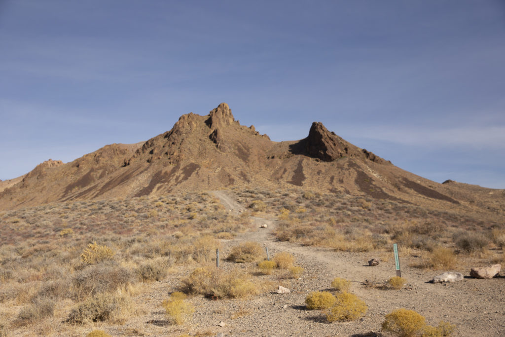
The Titus Canyon road takes off from Highway 374 about five miles east of Beatty, two miles west of the DVNP boundary. The first three miles or so are fairly level, though washboarded and rocky, and wide enough to turn around and go back if you get cold feet. But before long, the road climbs into the Grapevine Mountains and then descends through White Pass into Titanothere Canyon, the location of extensive fossil beds; the name commemorates a fossil rhinoceros-like animal whose remains were found here in 1933.
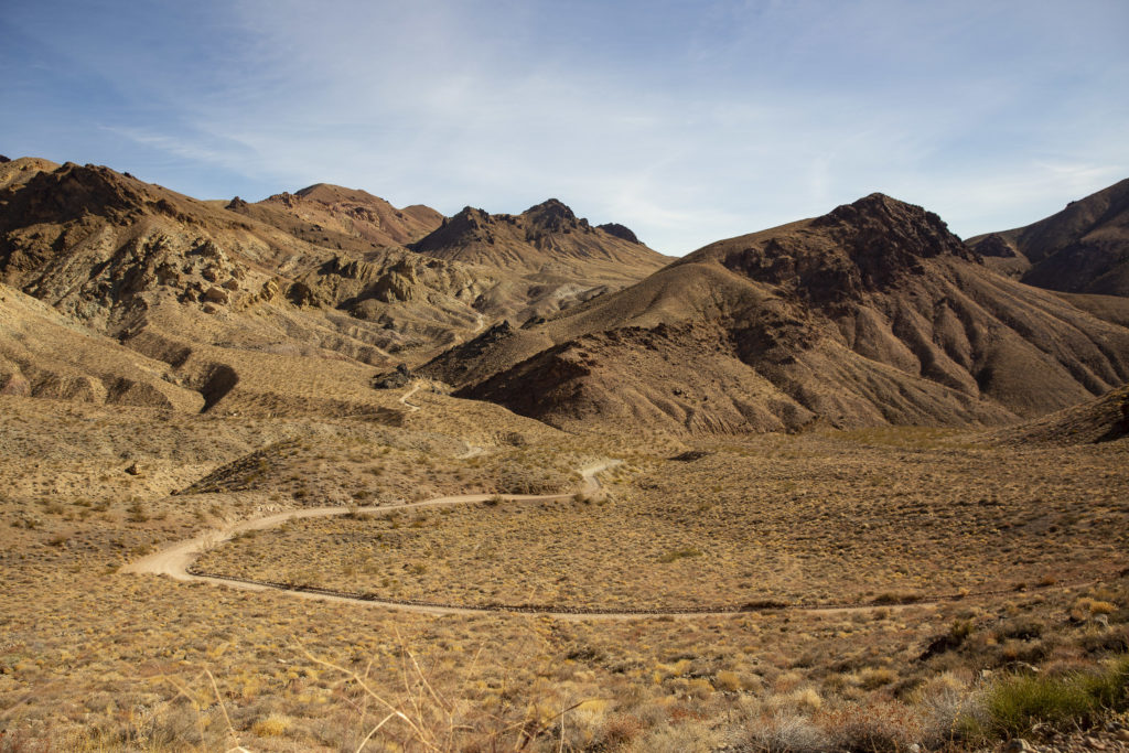
The high point of the drive is at Red Pass, where some of the most spectacular views are to be had.
From Red Pass we descended via a dizzying series of hairpin turns to the ghost town of Leadfield. The Titus Canyon road was originally built in 1926 to provide access to Leadfield, which was the offspring of a brief lead-mining boon in the 1920s, fueled by what might most kindly be characterized as highly optimistic promotions. The boom fizzled when no high-grade ore was found, and the town died in 1927. You can read the whole story at https://www.nps.gov/parkhistory/online_books/deva/section4a8.htm .
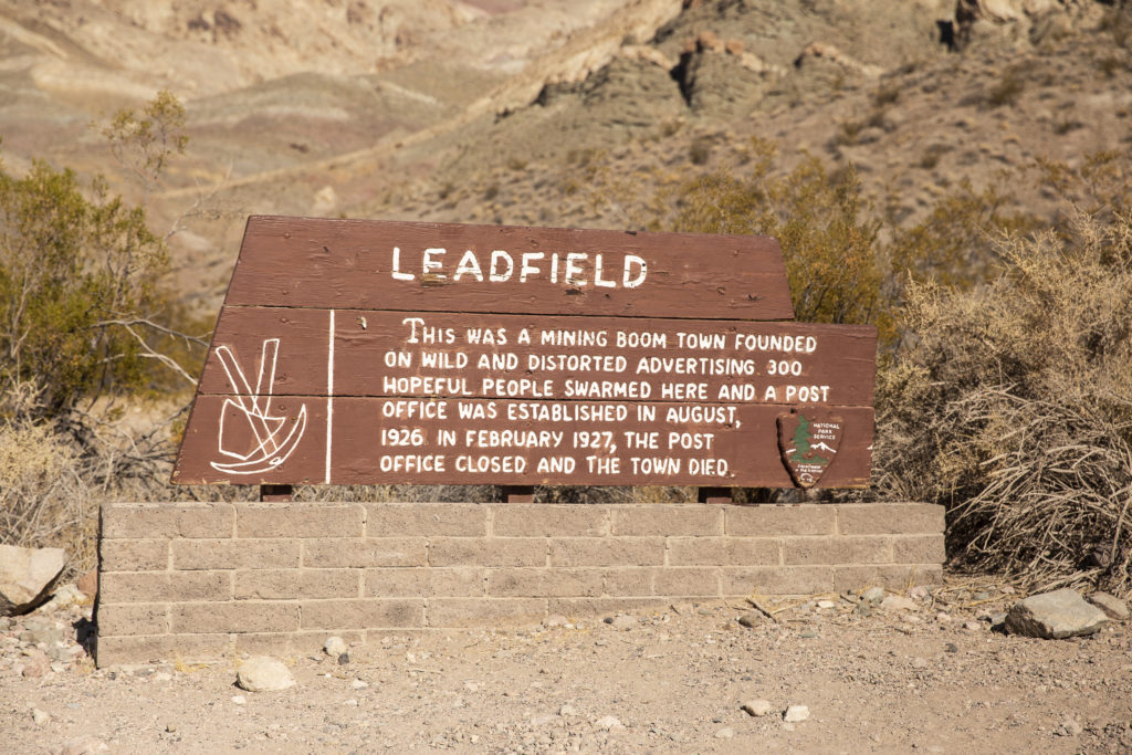
We stopped for lunch at Leadfield, where you can see the remains of some of the mine structures, as well as tailings from the extraction operations.
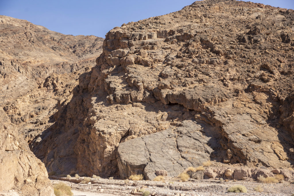
Resuming our journey from Leadfield, we continued our descent toward Death Valley via a broad wash hemmed in on either side by towering cliffs, culminating in a relatively verdant spot known as Klare Springs. On previous trips, some of us had seen bighorn sheep, who come to drink at the springs, but on this trip none of us spotted any.
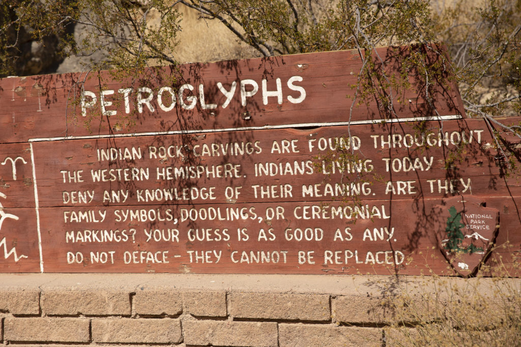
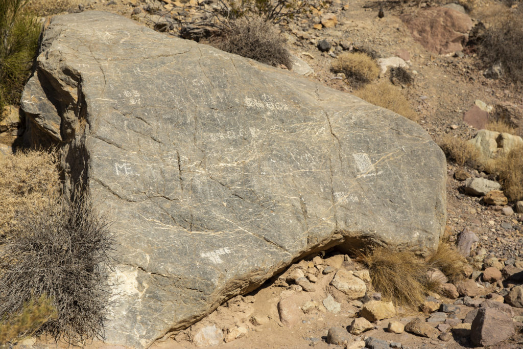
In the vicinity of Klare Springs are found some ancient Native American graffiti, more formally known as petroglyphs. At least that is what the sign tells us; for all I know, the scratchings on the rocks could have been left by modern-day passers-by. In fact, some of them were left by modern-day passers-by, who ignored the injunctions on the sign to refrain from defacing the irreplaceable Indian petroglyphs.
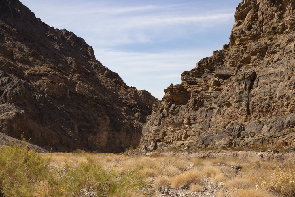
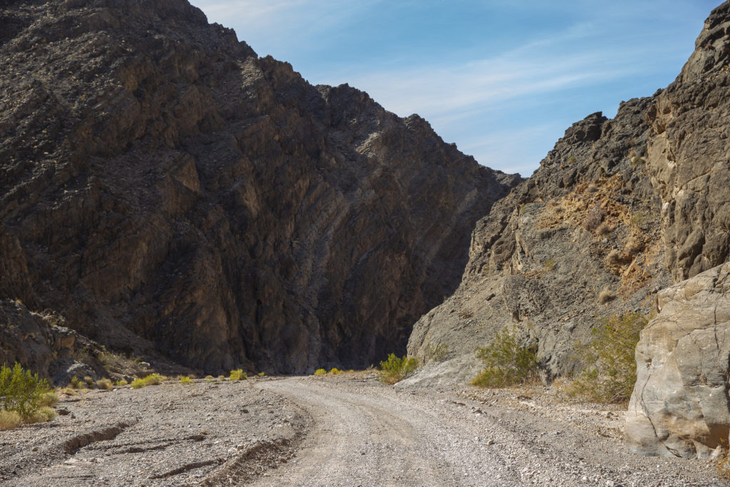
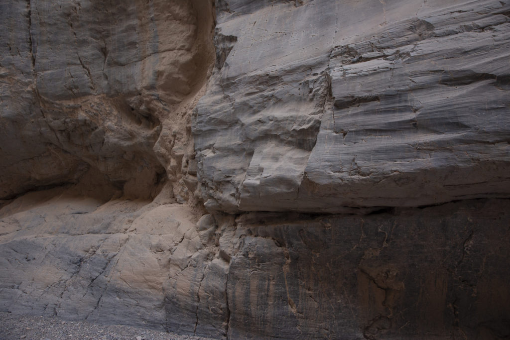
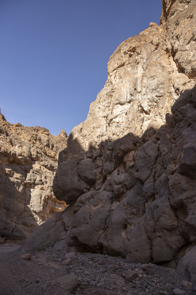
Now we reached the climax of the drive, the venture into the dreaded Narrows, a one-and-a-half mile stretch where the road shrinks to a narrow strip less than 20 feet wide in places, with overhanging cliffs hundreds of feet high which look as if a mild earthquake could send them crashing down on top of your car.
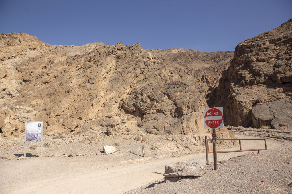
When we finally emerged from Titus Canyon, it was like a cork popping out of a bottle.
At the exit is found a sign barring entry, because Titus Canyon is a one-way east-to-west road.
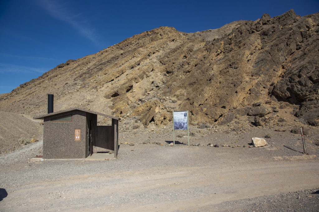
Also at the exit from the Narrows is found a very welcome convenience – rest rooms.
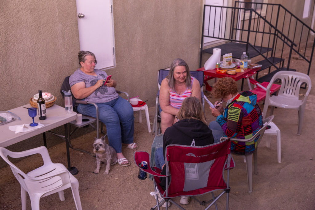
In the evening, back in Beatty at the Atomic Inn, we put up tables and chairs outside our motel rooms and relaxed over noshes and beverages.
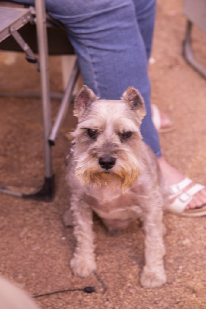
And Jock was very happy to hang out with his old friend Diana again.