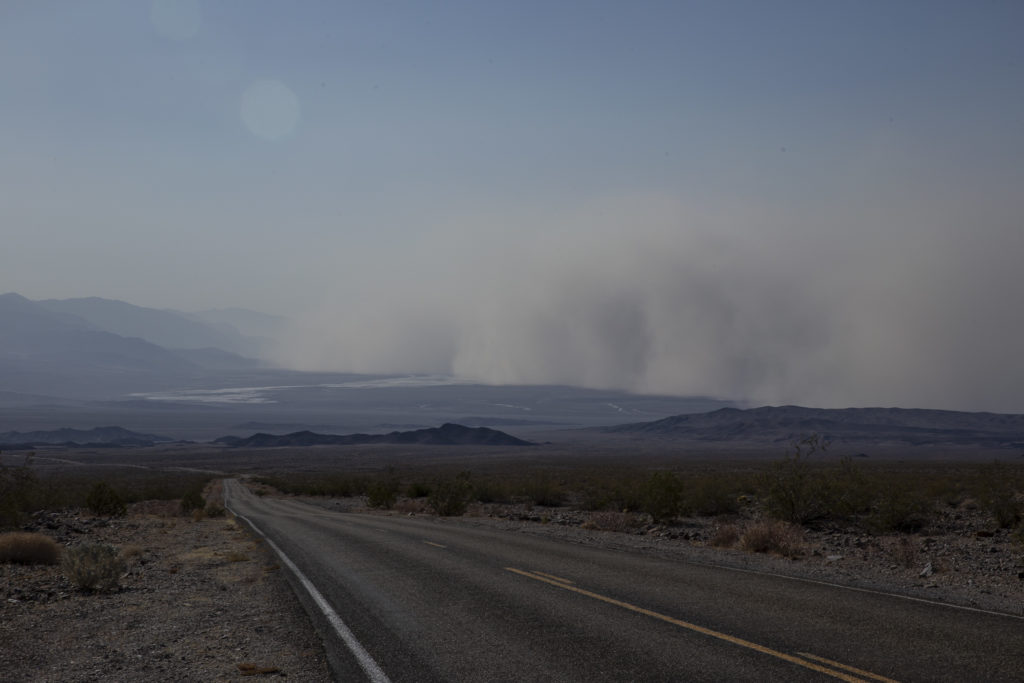
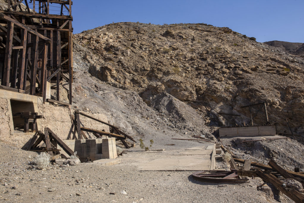
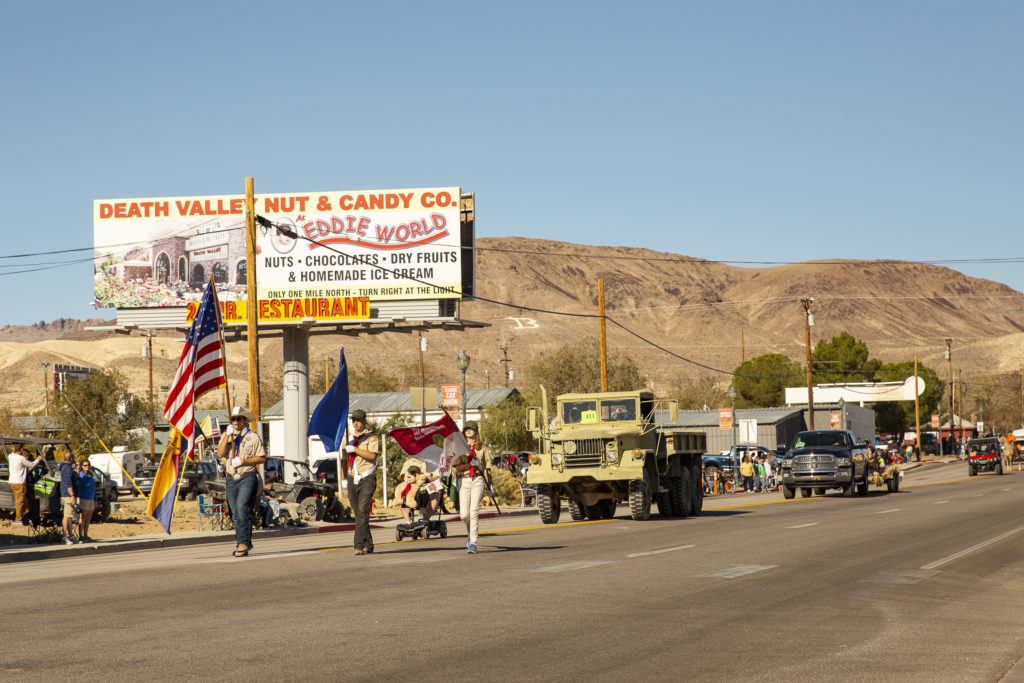
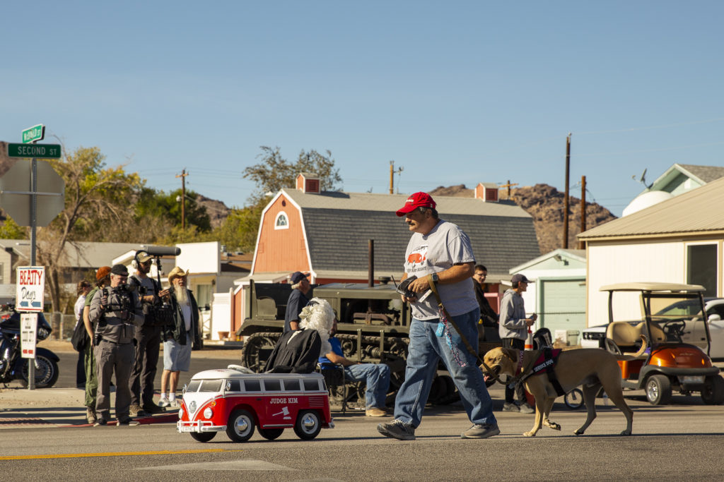
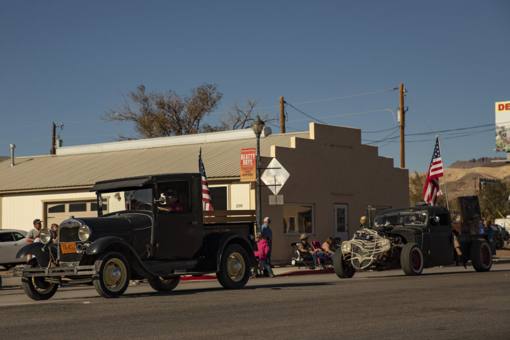
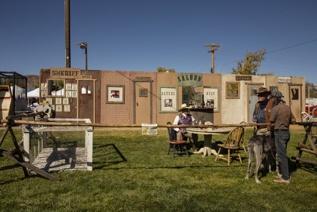
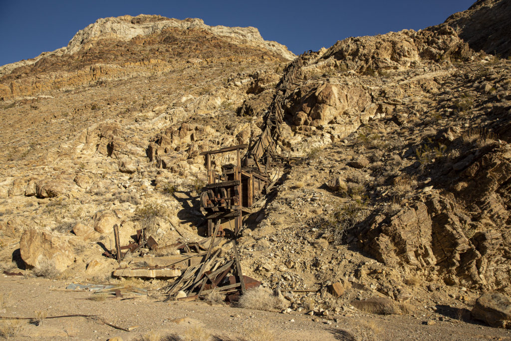
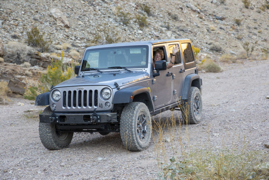
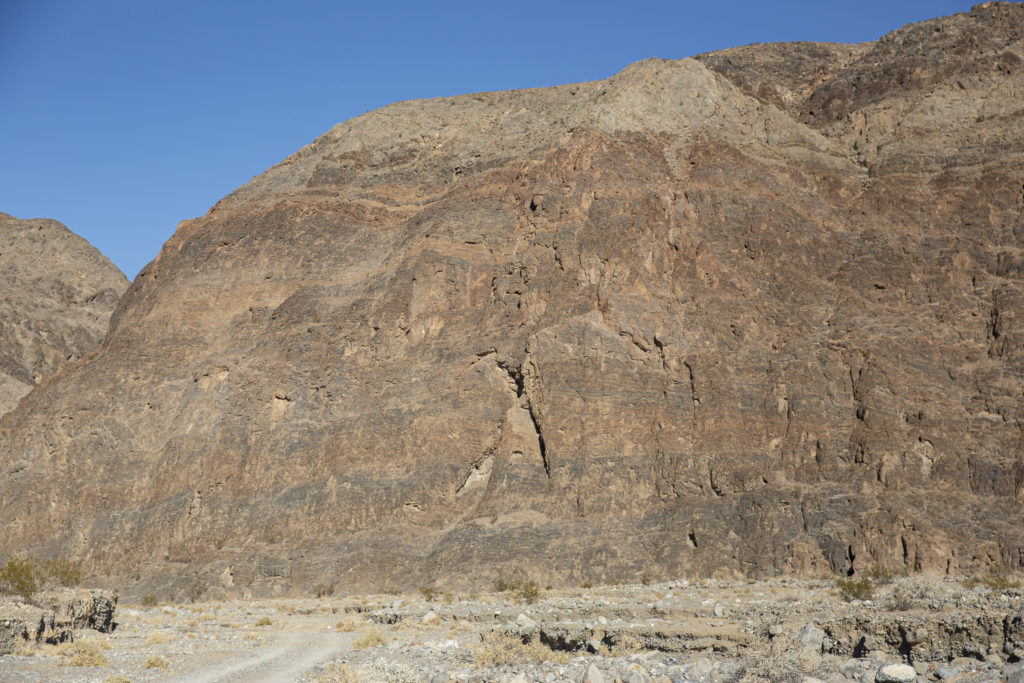
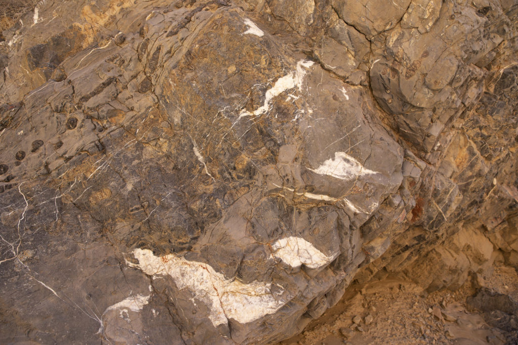
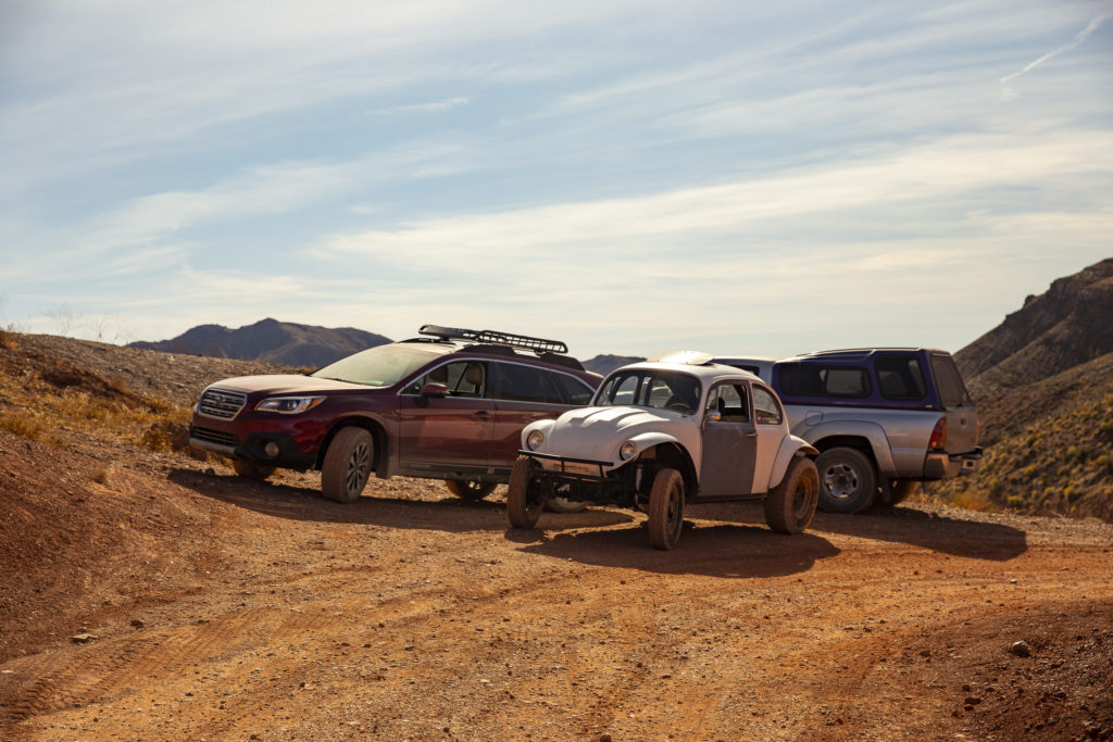
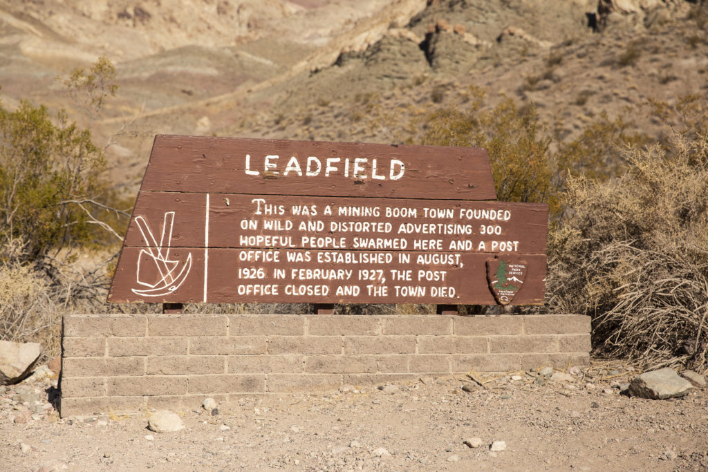
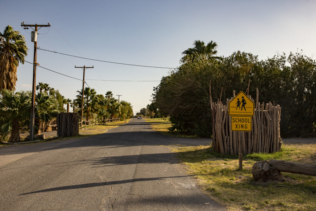
For Sunday afternoon, October 27, JoAnn, who had been on the road for weeks or maybe even months or years, wanted to go home, and none of the rest of us wanted to venture into the sand-blown maelstrom on the floor of Death Valley, so we piled into Red Sonja (Sandie’s Subaru Outback) and drove south to Shoshone, a hamlet just east of Death Valley which claims a population of 31, a grocery store, gas station and museum, a wetland in the middle of the desert, and, of all things, a hobbit ghost town.
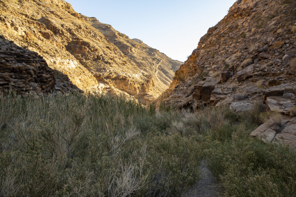
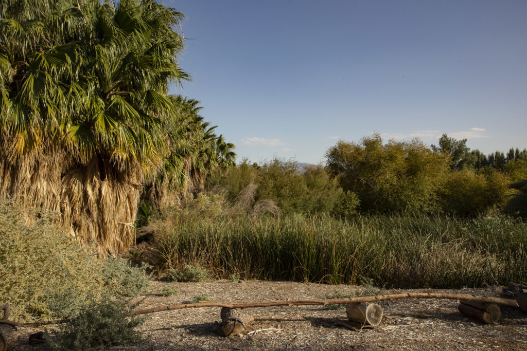
Our first stop was the Shoshone Wetland, a haven for fish (!) and migratory birds in the middle of a desperately dry and dusty desert.
The wetland is hidden out of sight in an area which is also the site of an RV park and a school; you reach it via an access road which takes off from the side of the highway near the Charles Brown General Store.
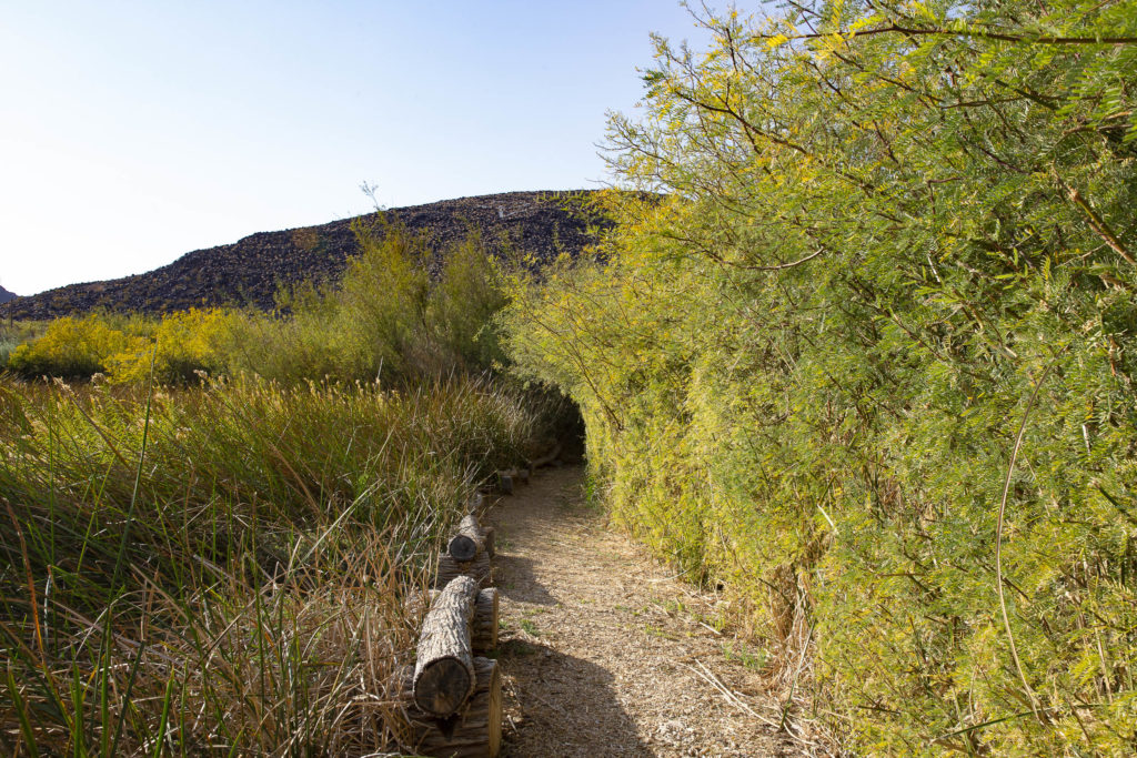
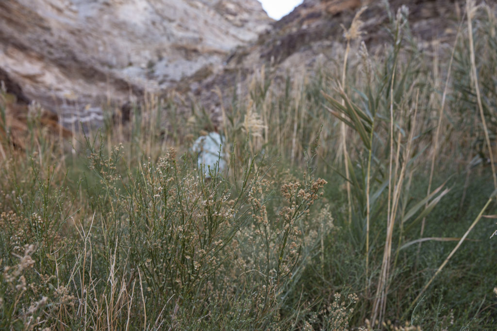
As you venture into the wetland, the path widens and is kept cool and shady by overhanging vegetation.
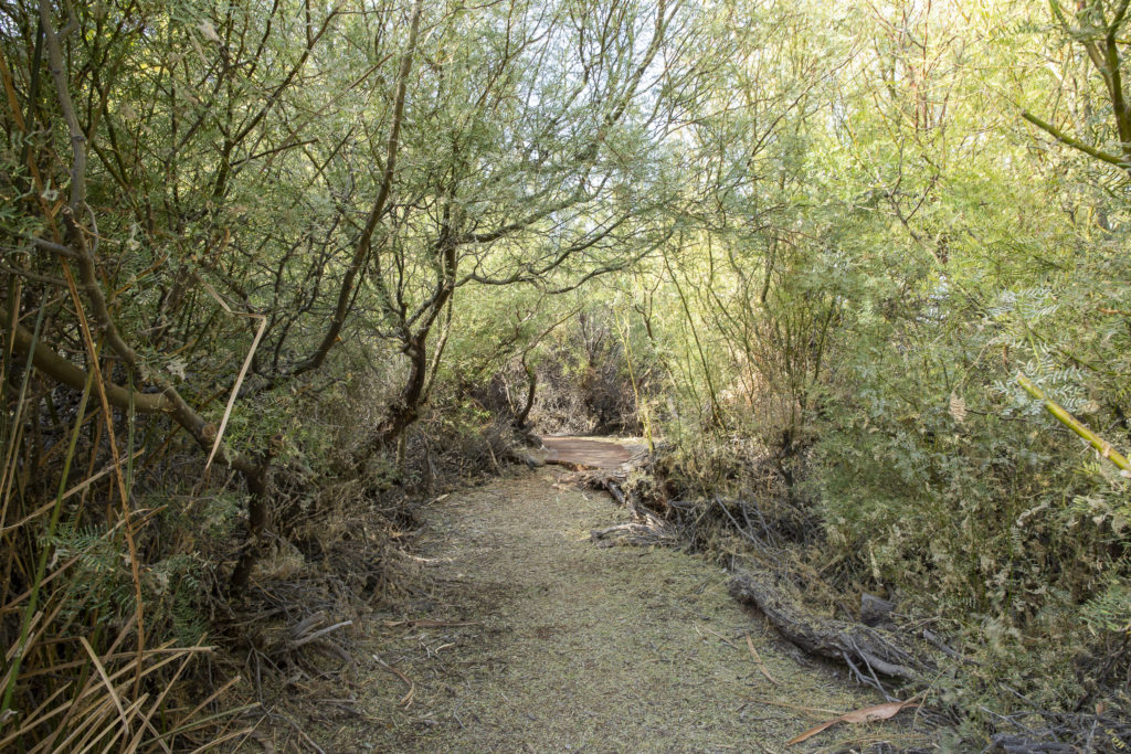
Reeds, palms, willows and other oasis vegetation populate the desert wetland biosphere.
Eventually you reach a lovely shaded pool, complete with table, a perfect spot for a picnic.
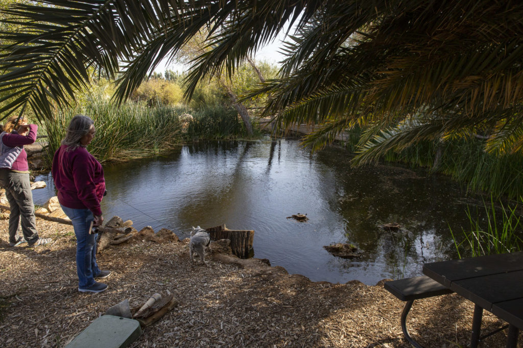
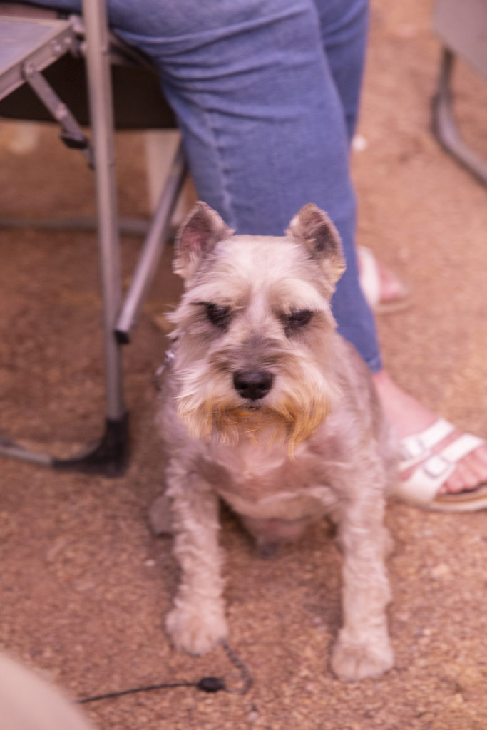
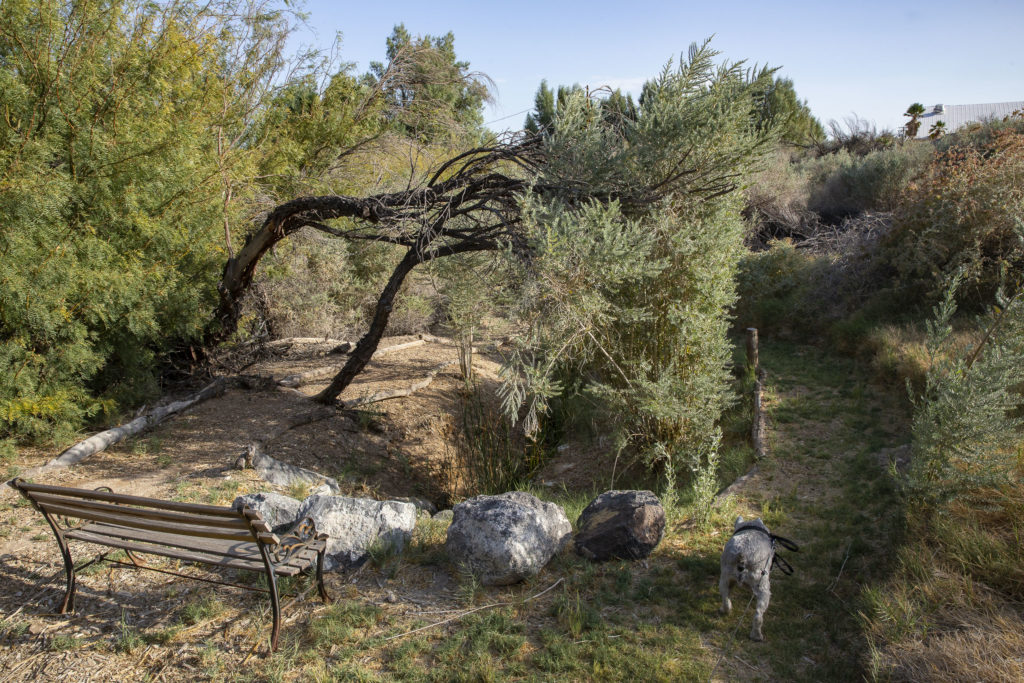
Jock loved exploring the wetland paths, and being on a leash didn’t cramp his style at all. He just draged us along wherever he wanted to go.
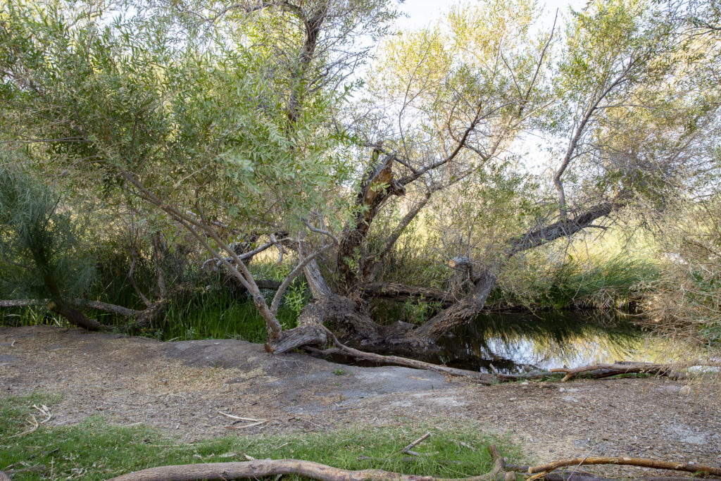
Growing by the waterside was an old gnarled willow tree, which reminded me of Old Man Willow in the Lord of the Rings, who lurked along the Withywindle in the Old Forest, waiting for unsuspecting hobbits to come by.
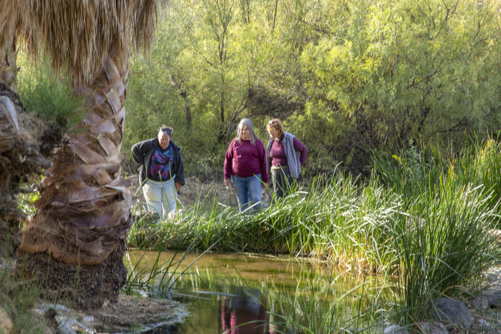
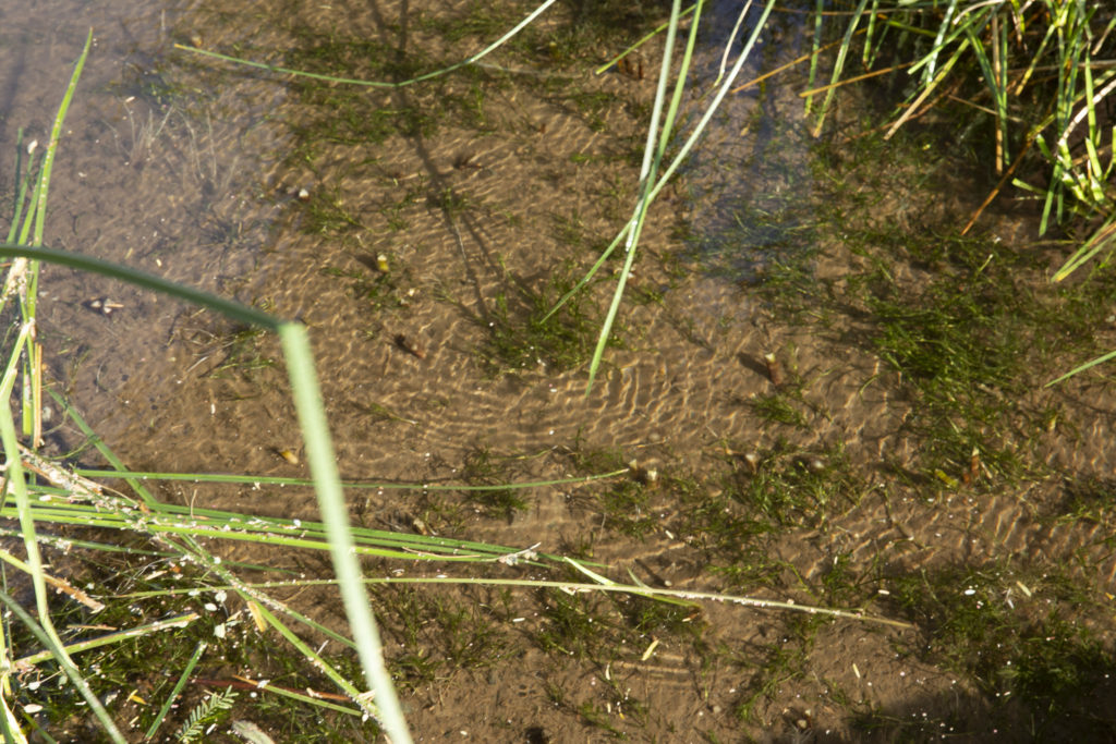
The Shoshone Wetland is a sanctuary for desert pupfish, of which it claims to have its own species. Here Diana, Sandie and Kelly contemplate a pool full of them.
Pupfish are quite small and not easy to see even in a clear pool. At least they don’t have to worry about fishermen, since they are far too small for people to eat.
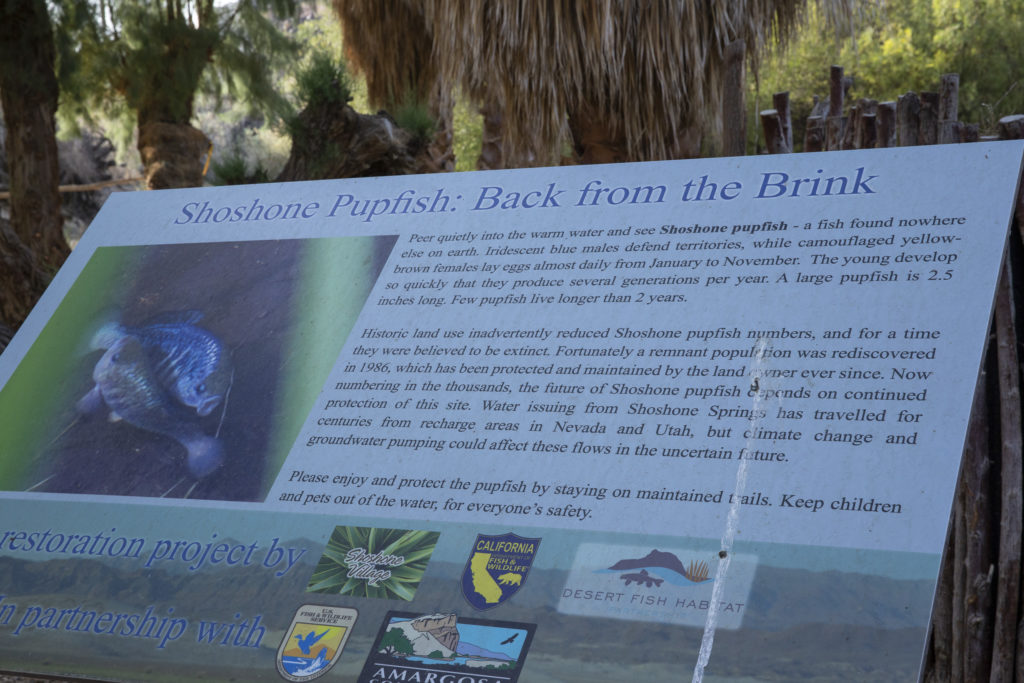
Next to the pool was a placard telling us all we needed to know about the Shoshone Pupfish.
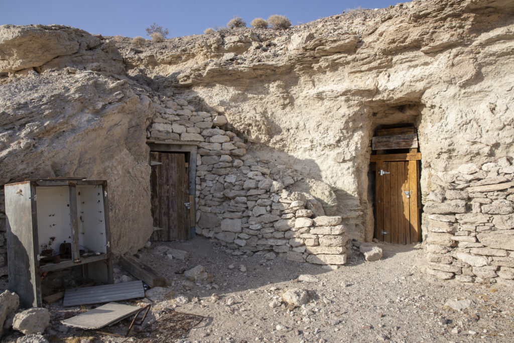
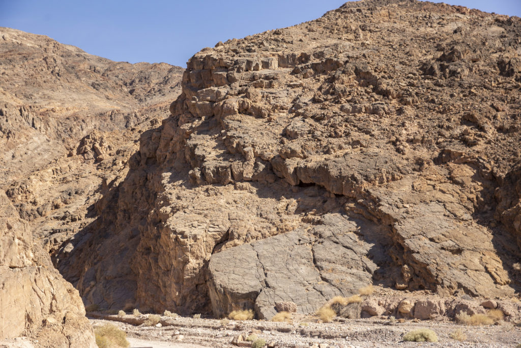
On the opposite (south) side of town we found another distinguishing attraction of Shoshone – a series of little dwellings, dug into the side of rocky hills. There were two sets of them, one on either side of a broad wash; the places on the south side, dug into the side of a low mesa-like outcrop, were more numerous – there were five or six of them, while there were only one or two on the north side – it was hard to tell whether there were two separate dwellings or just one with two doors. To me it seemed as if a small tribe of hobbits had somehow made their way to the Mojave Desert, and carved out hobbit-holes here, perhaps later abandoning them (for they were vacant) when the Big People invaded the area.
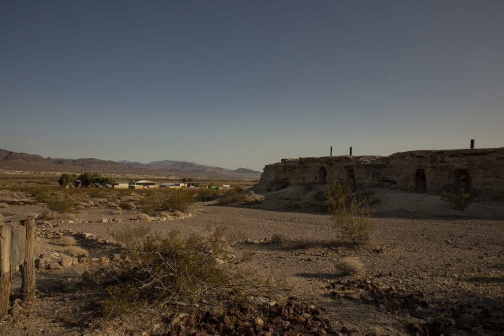
In keeping with the hobbit theme, I named the north set Bagshot Row.
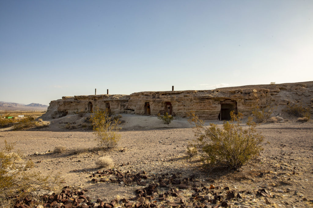
The south side, although it was completely detached from the north, I decided it was one house with two doors, and named it named Bag End.
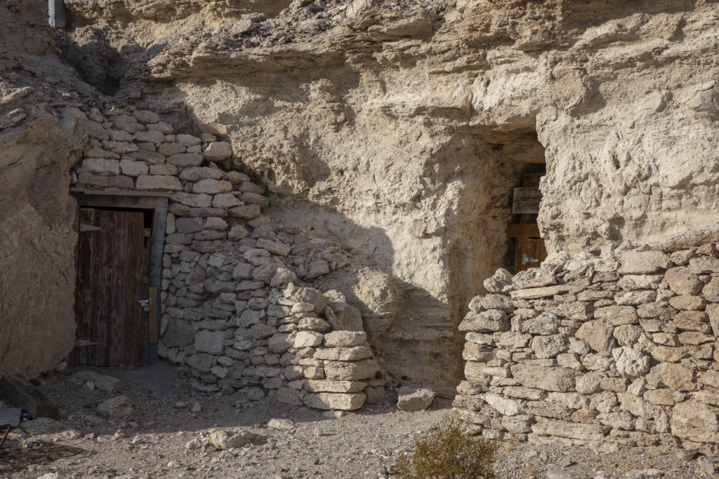
Unfortunately, the desert version of Bag End was rather dilapidated and run-down. I decided that maybe Saruman/Sharkey had lived in it after being expelled from Middle-Earth.