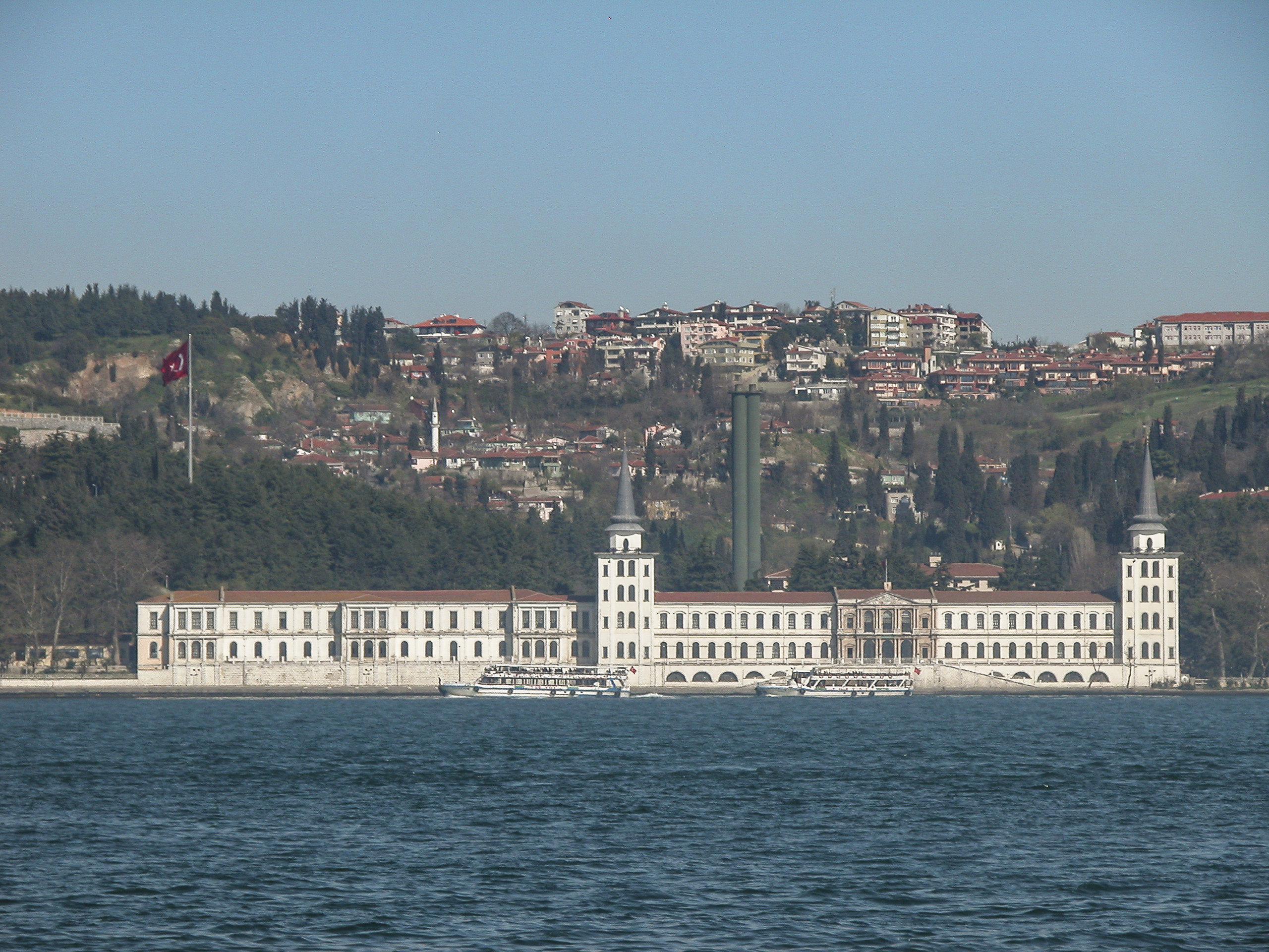
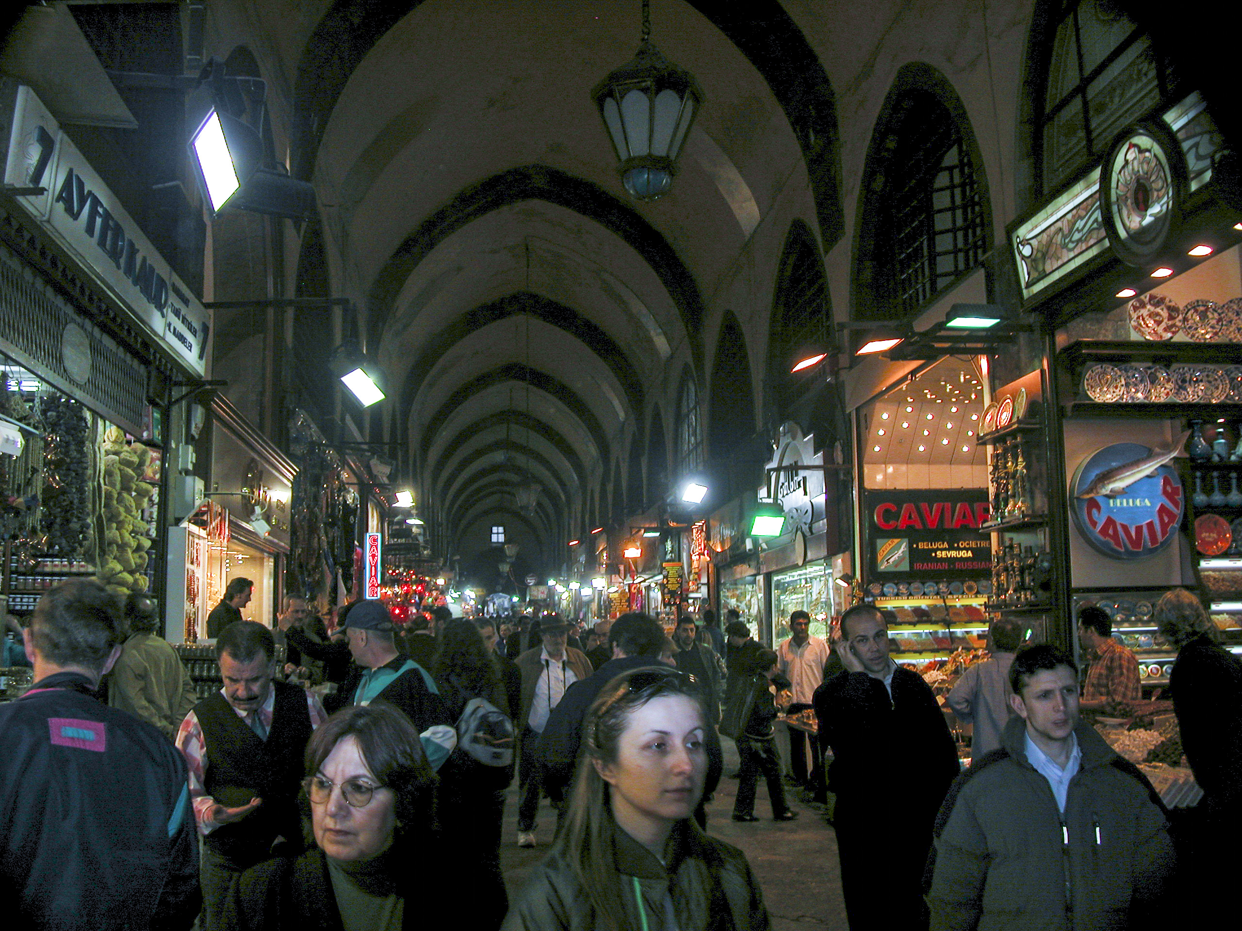
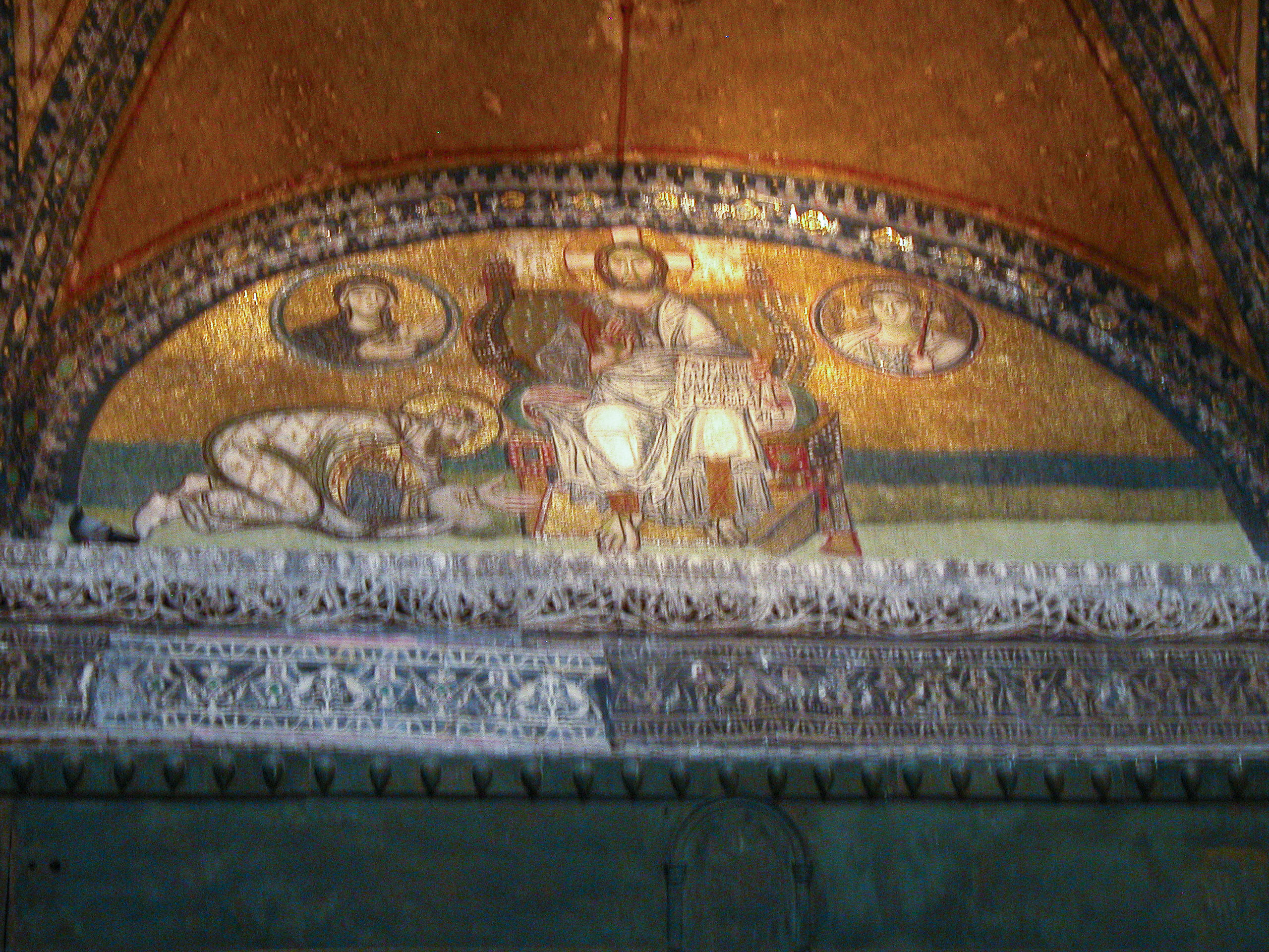
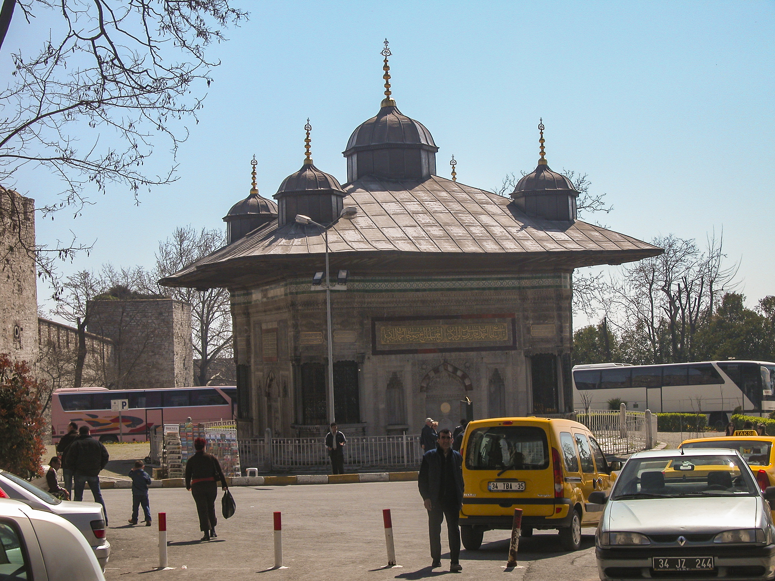
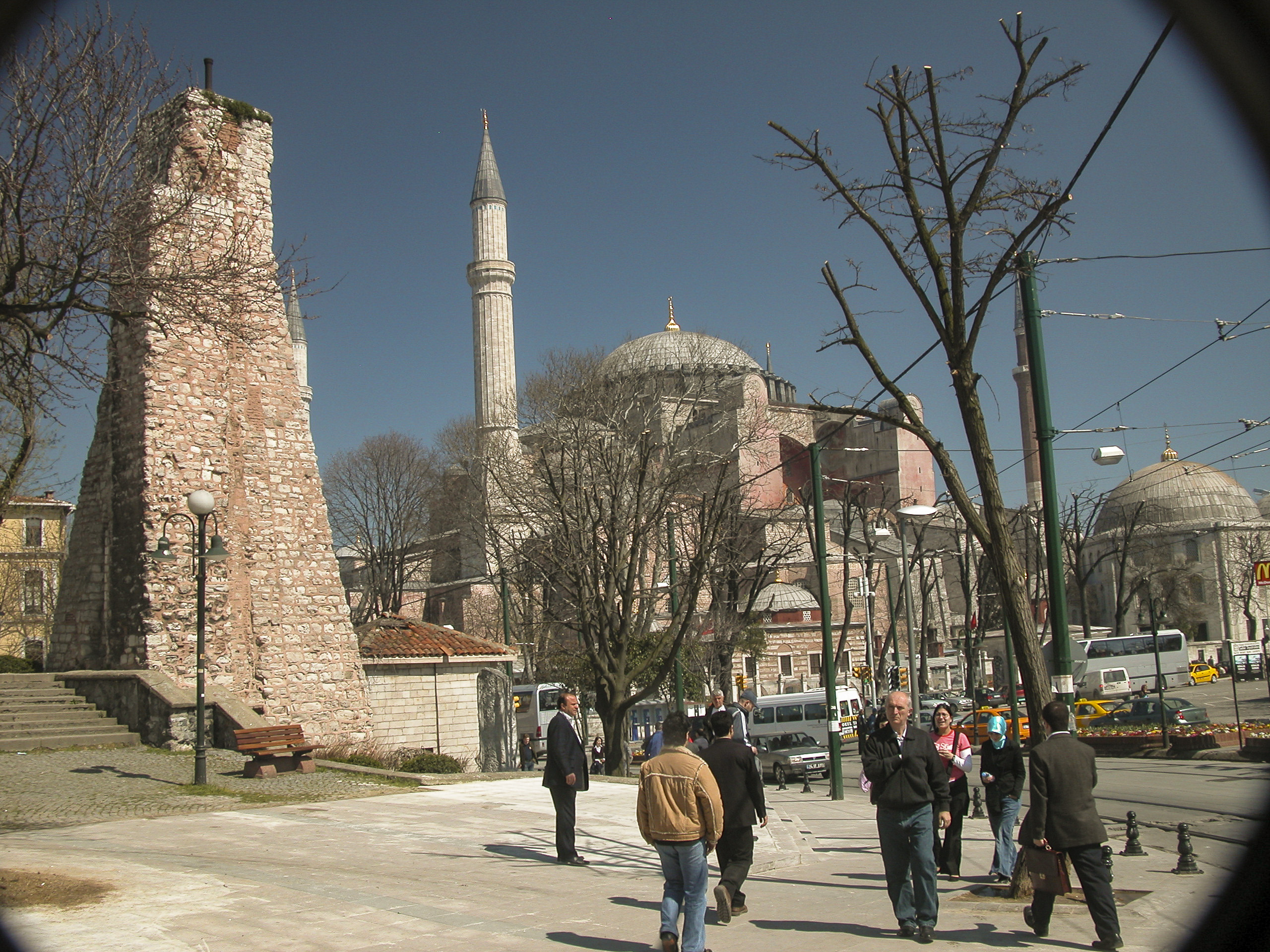
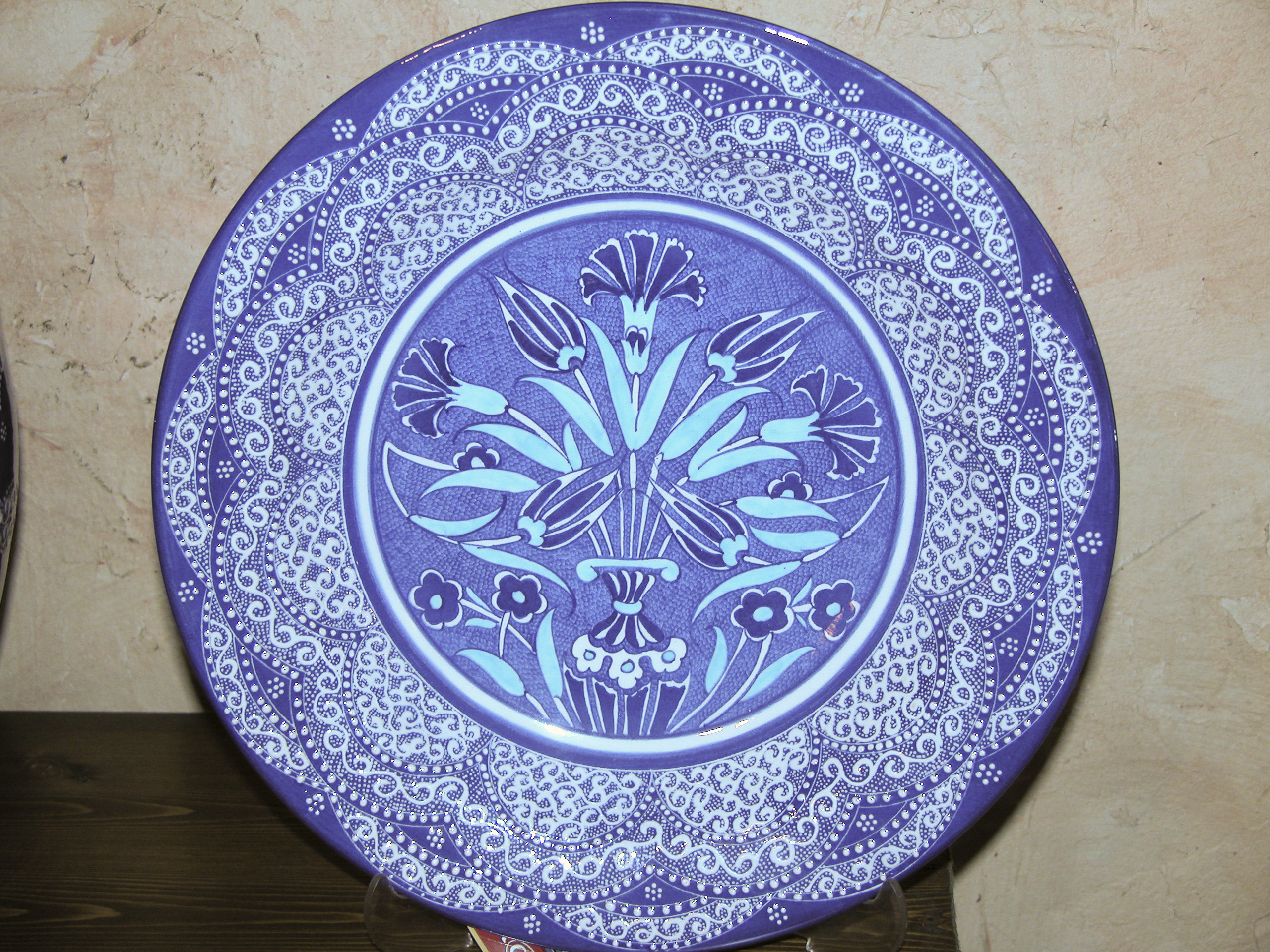
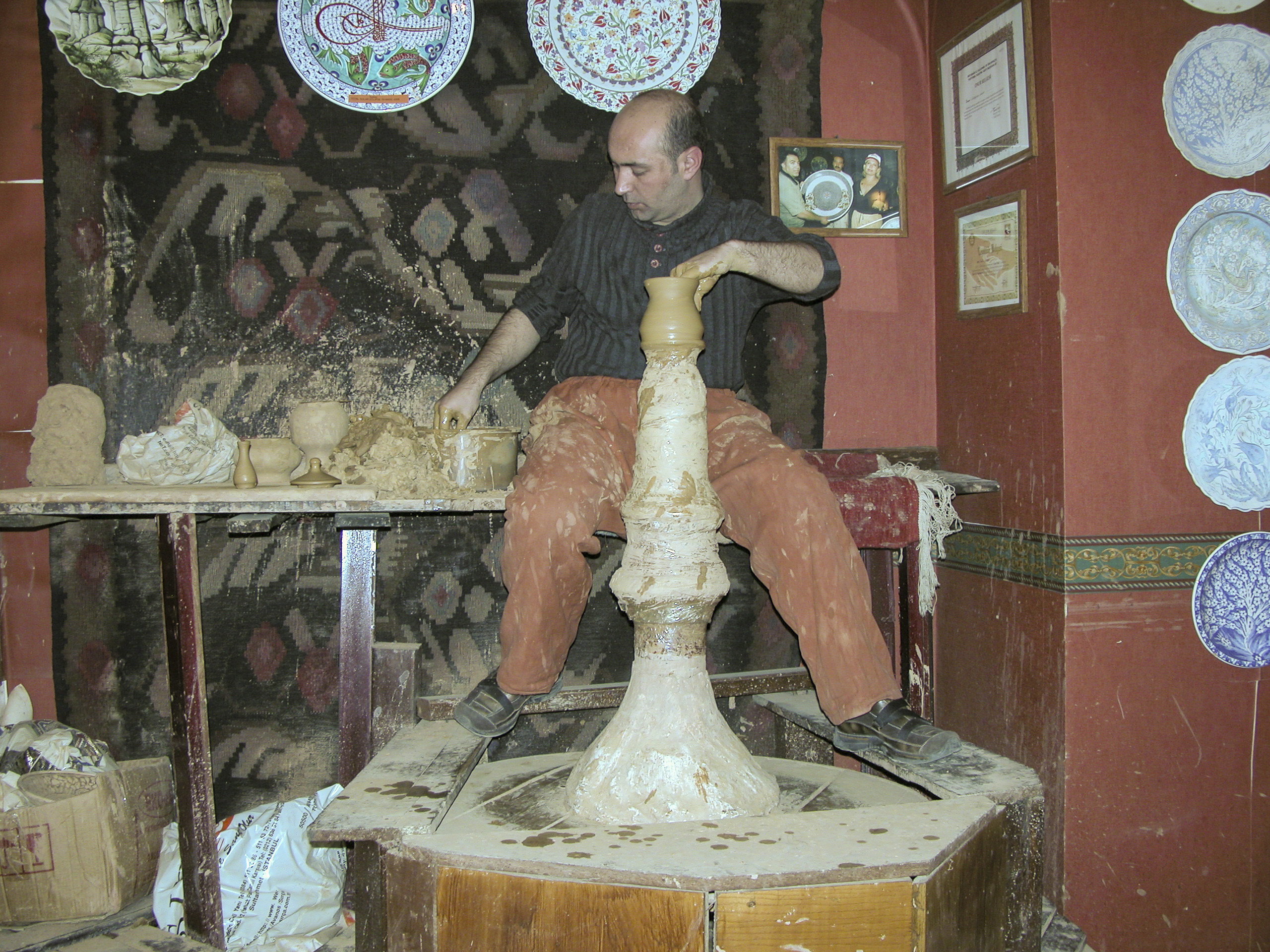
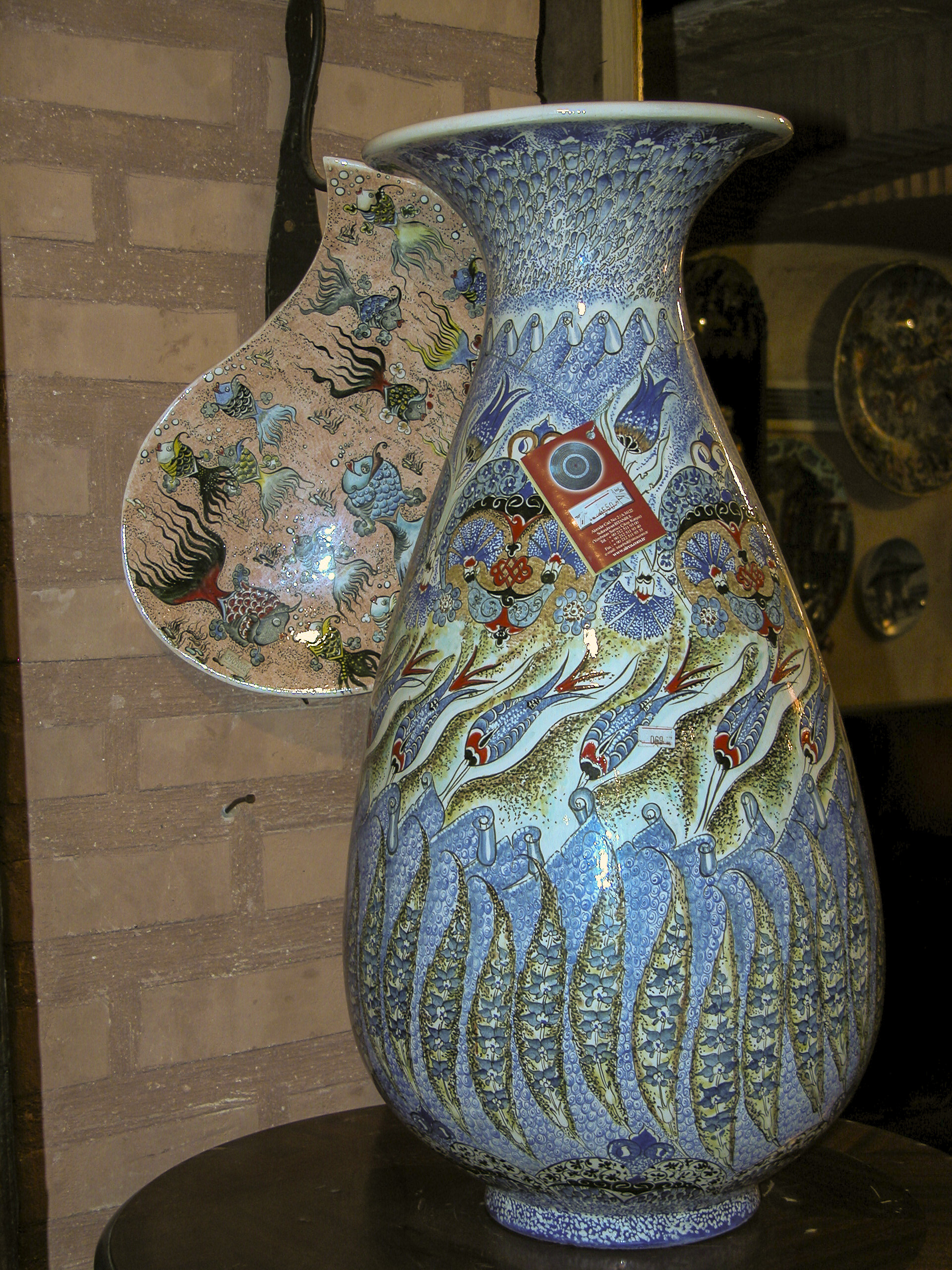
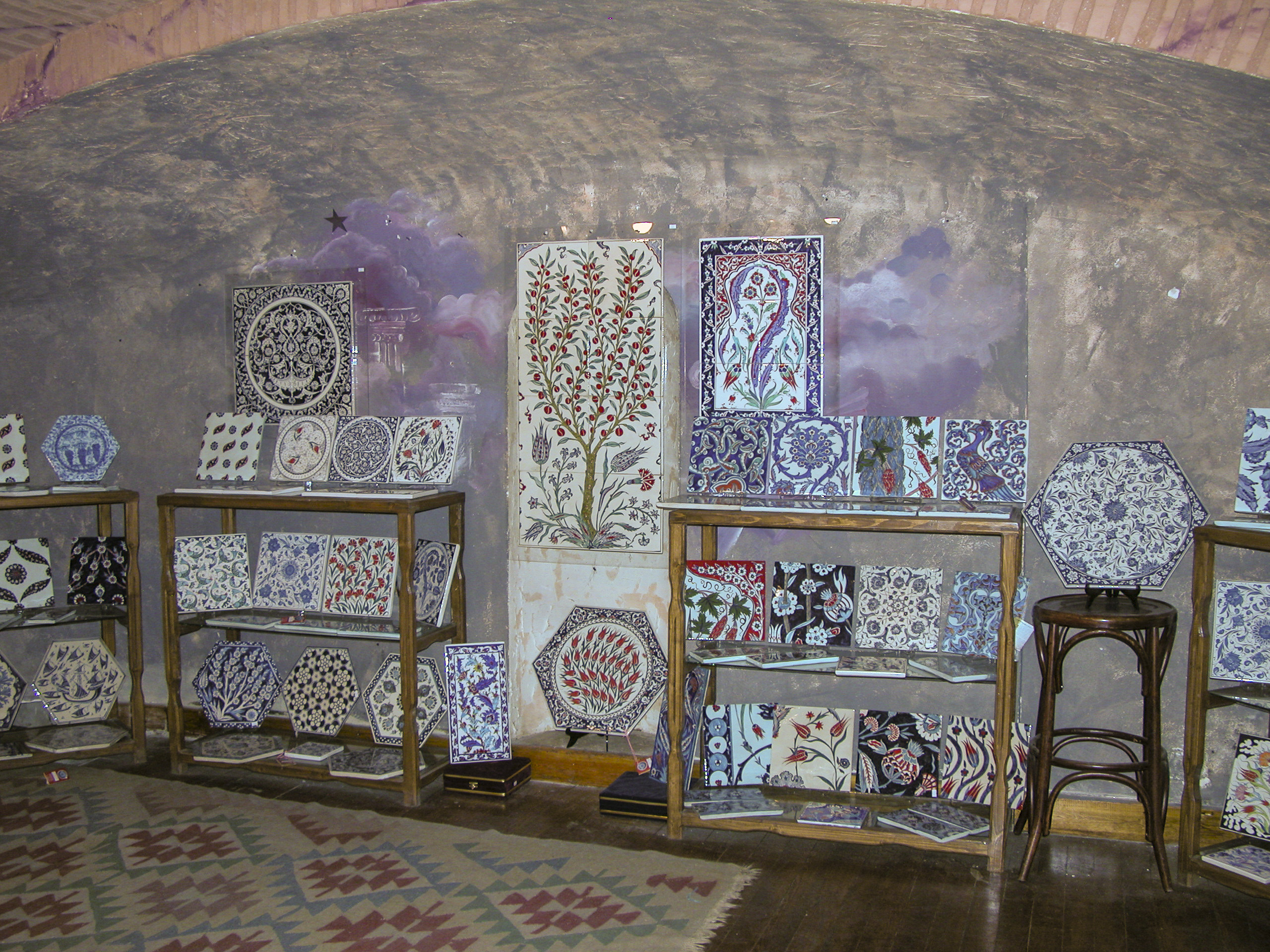
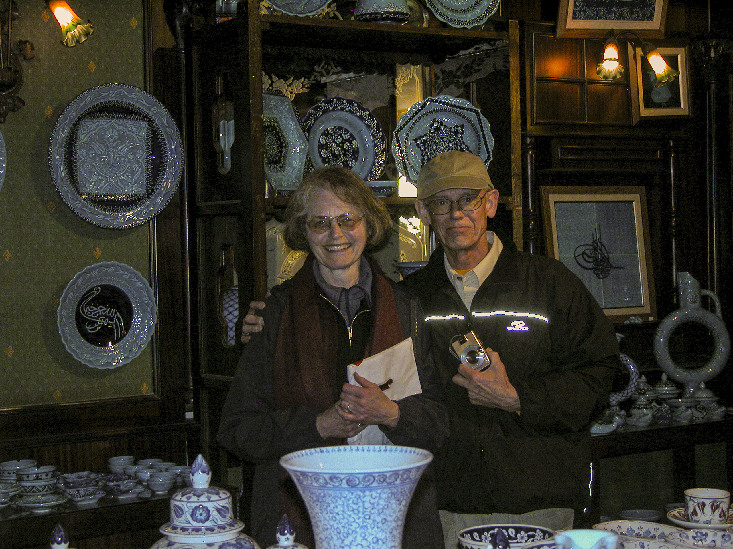
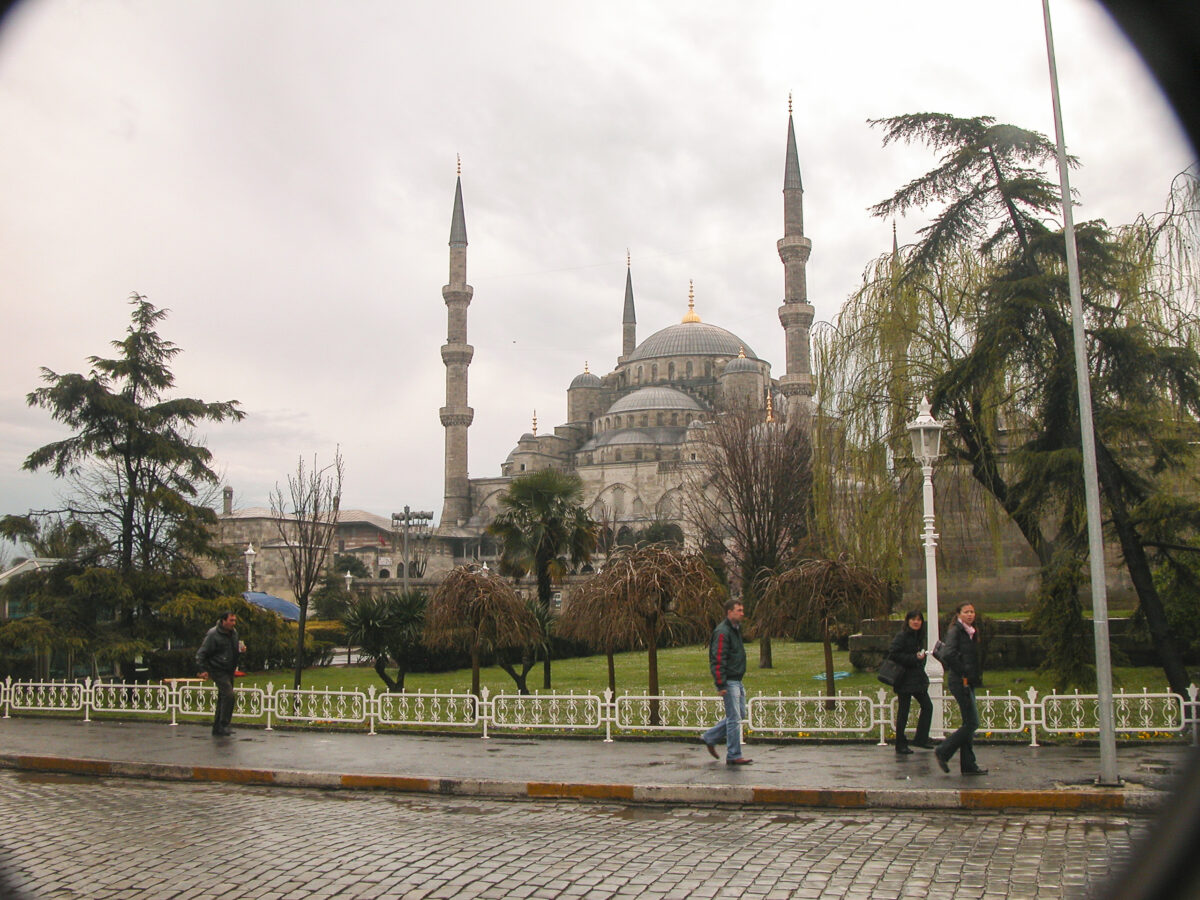
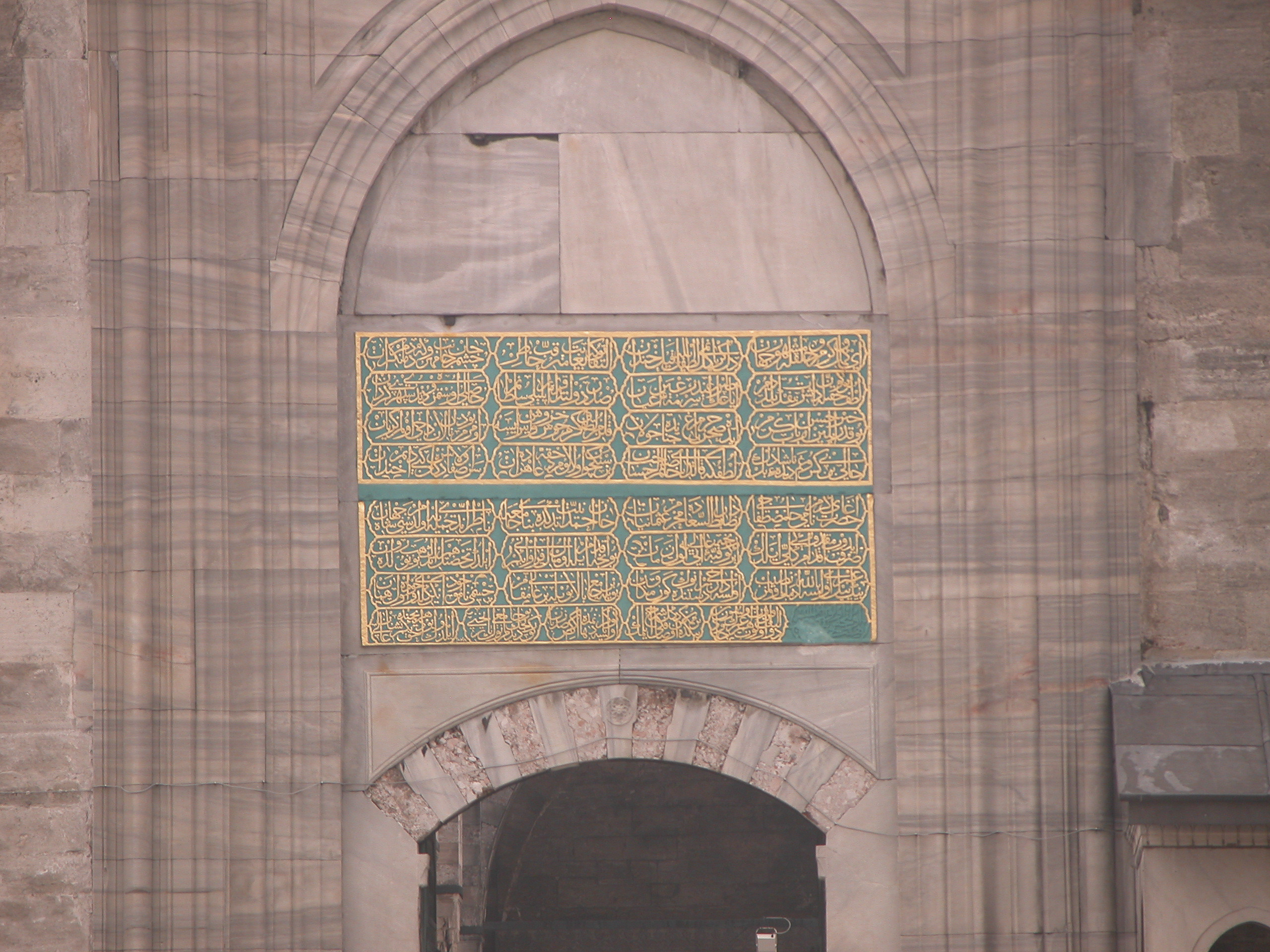
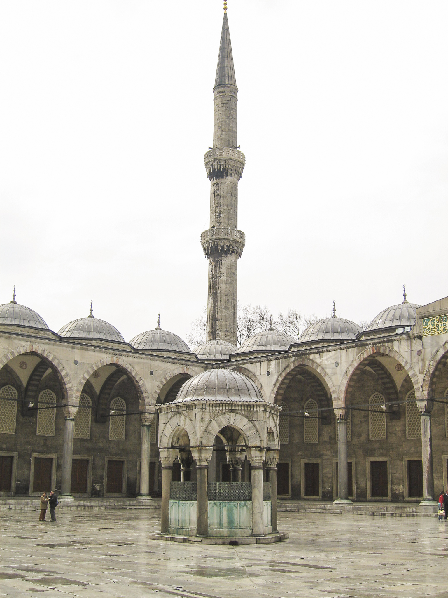
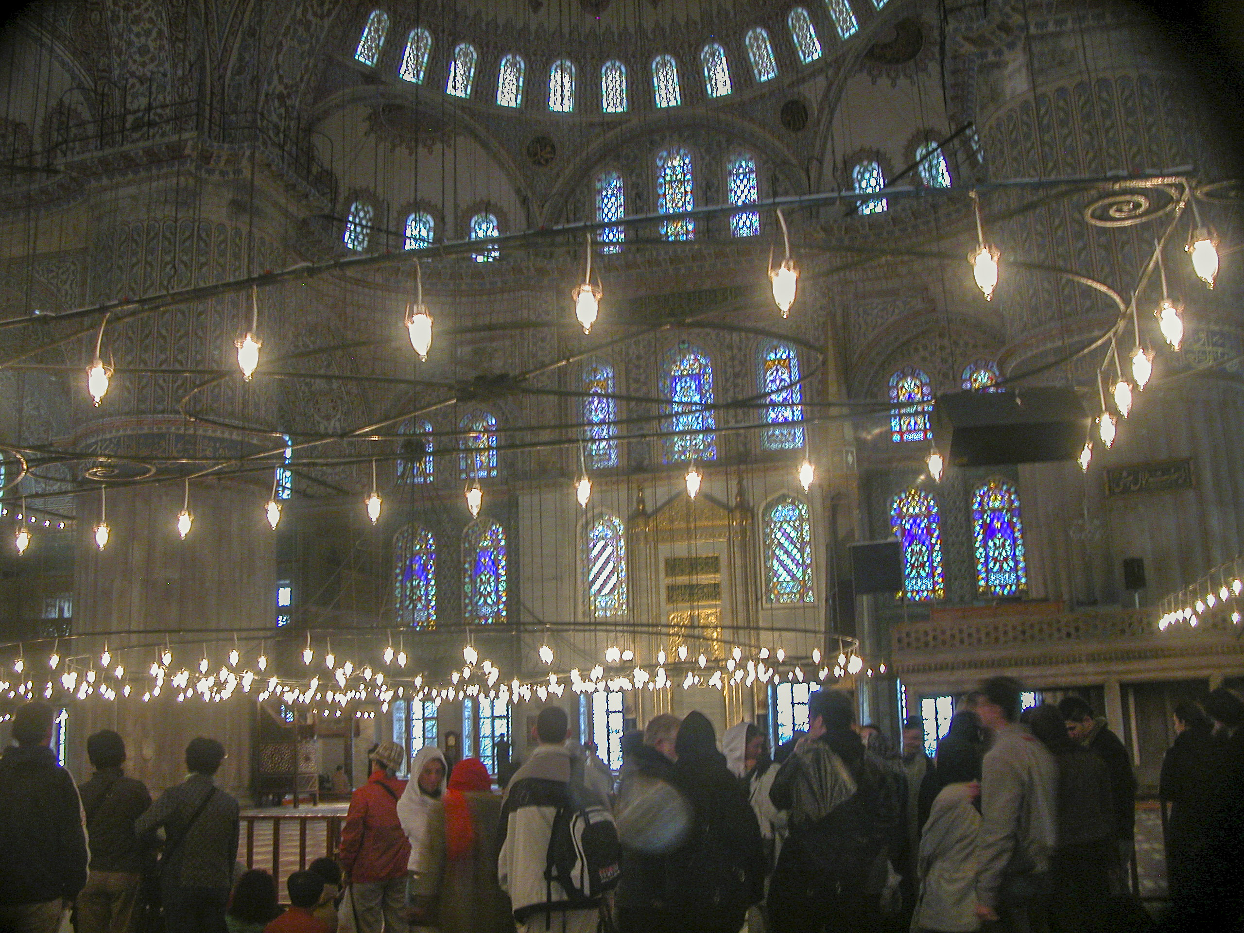
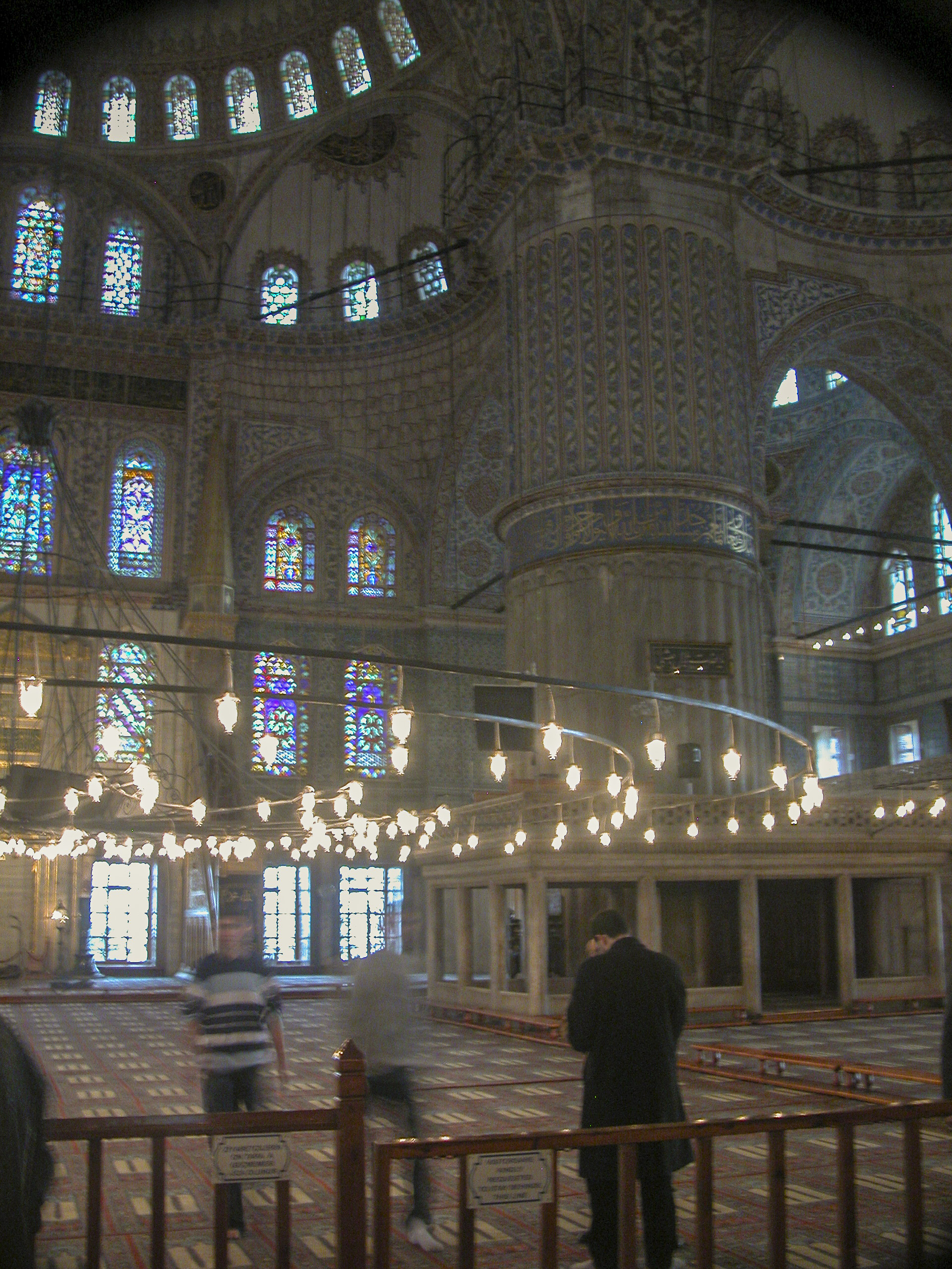
Our final afternoon in Istanbul began with a visit to Turkey’s #1 tourist attraction. What? you ask, didn’t you already visit Hagia Sophia in the morning? It turns out that the Grand Bazaar claimed to be #1 in Turkey, and in the world, in 2014, with over 91 million visitors, though Hagia Sophia was back on top by 2019, according to the Turkish newspaper Hurriyet Daily News.
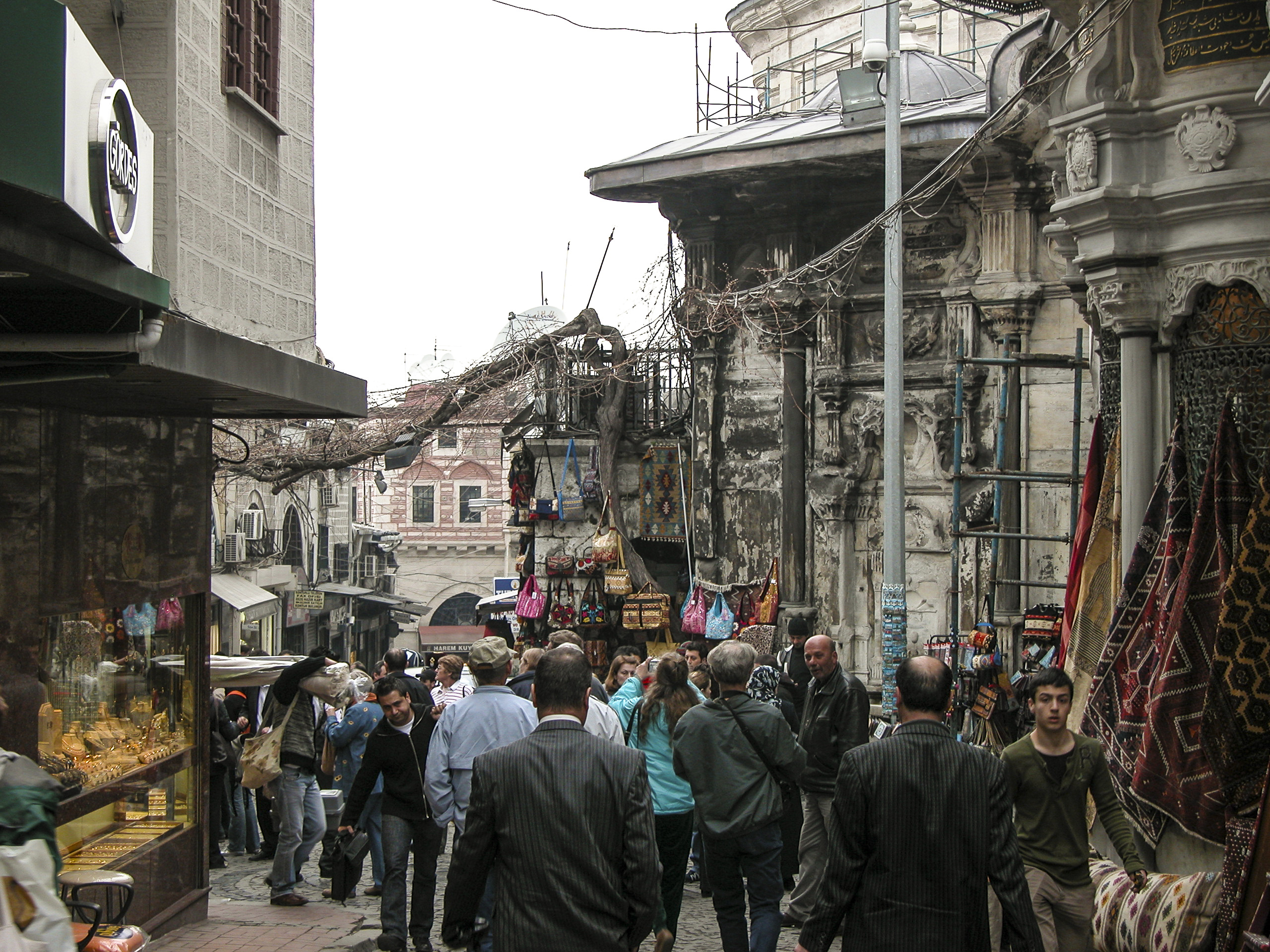
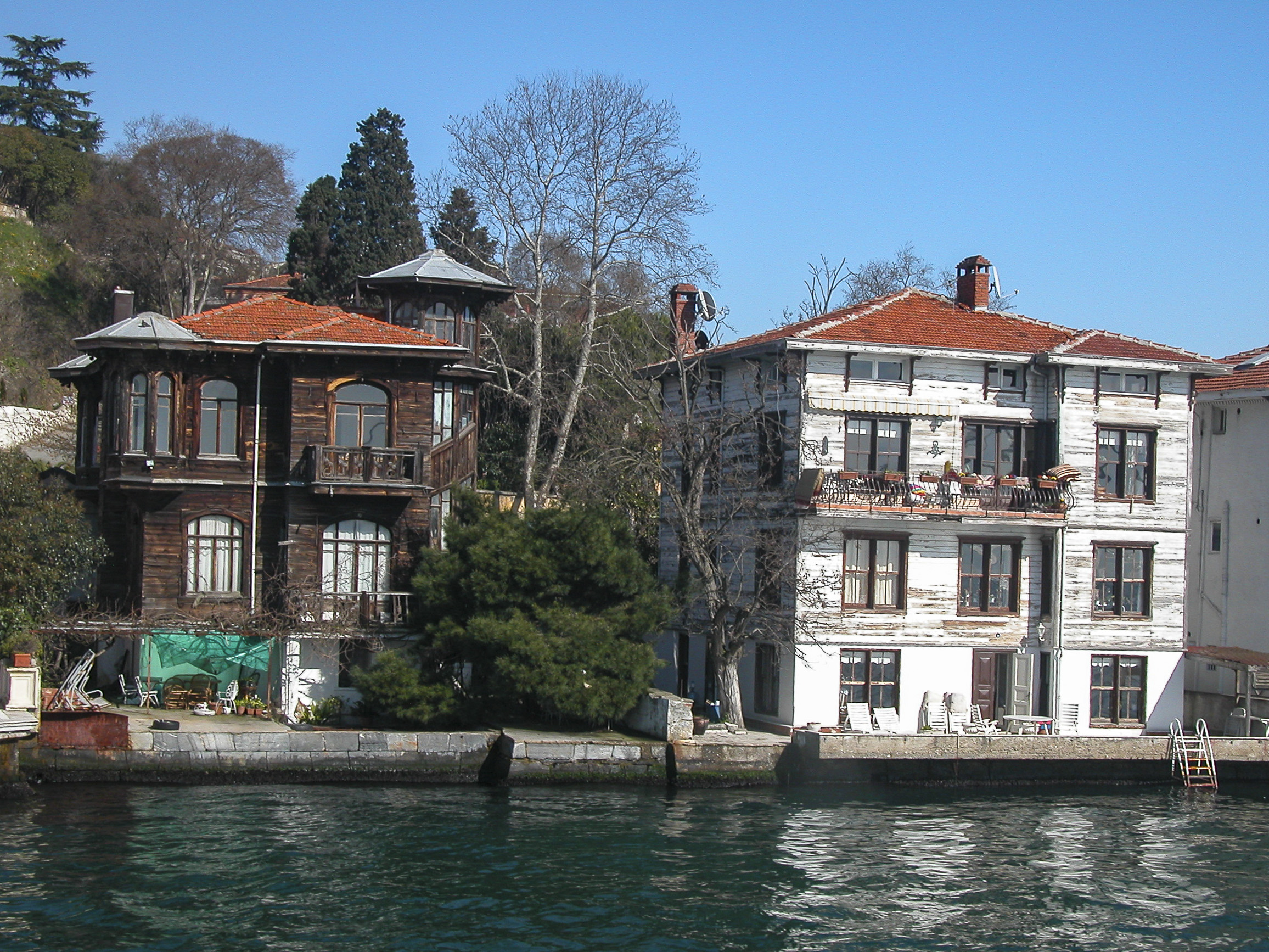
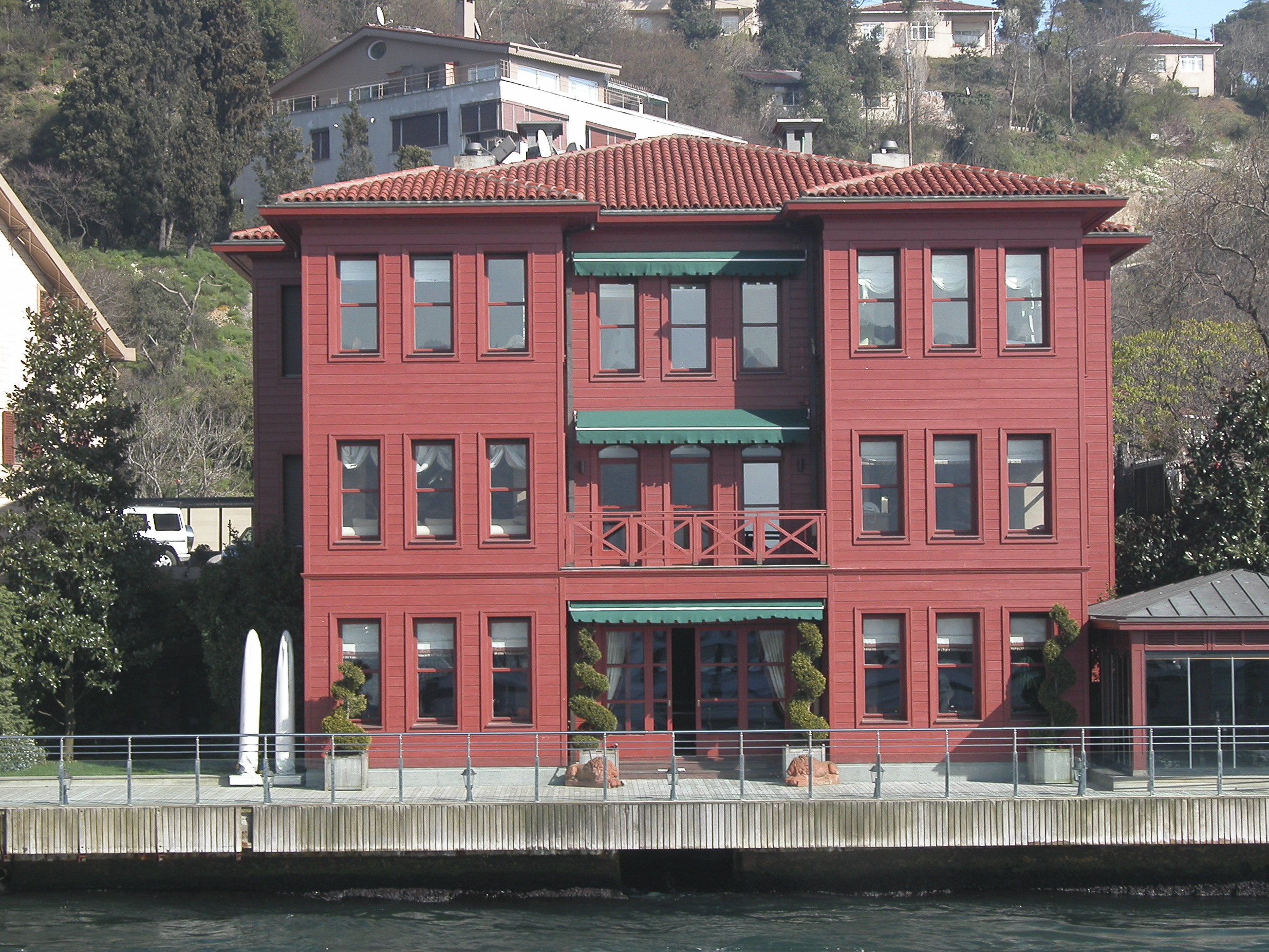
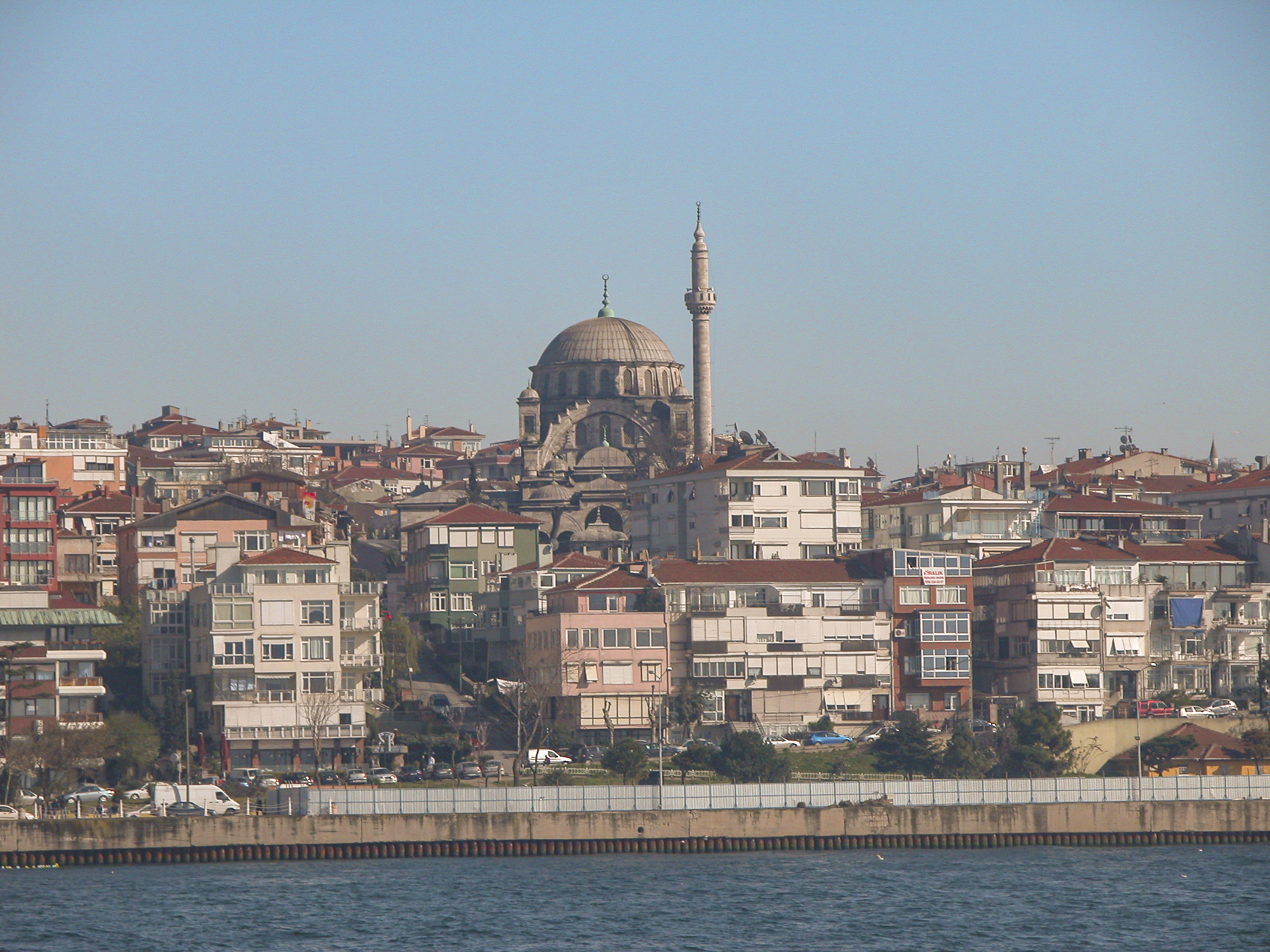
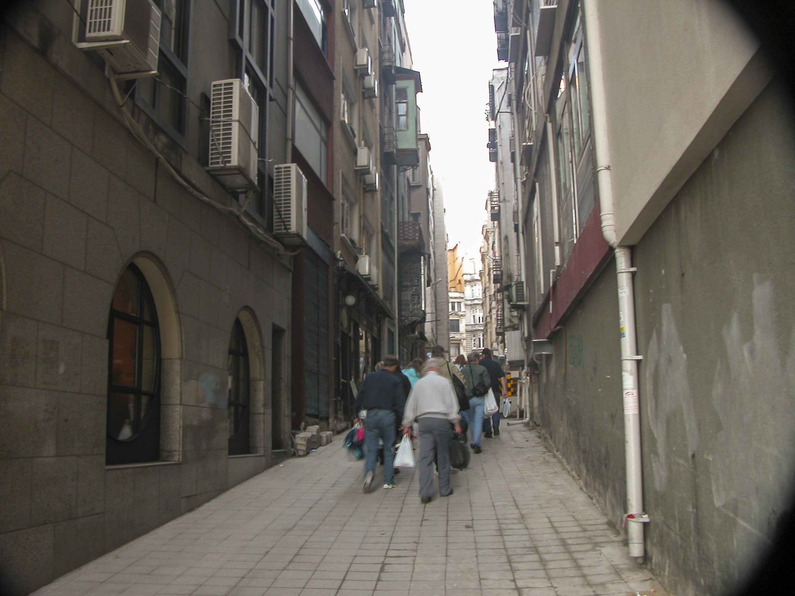
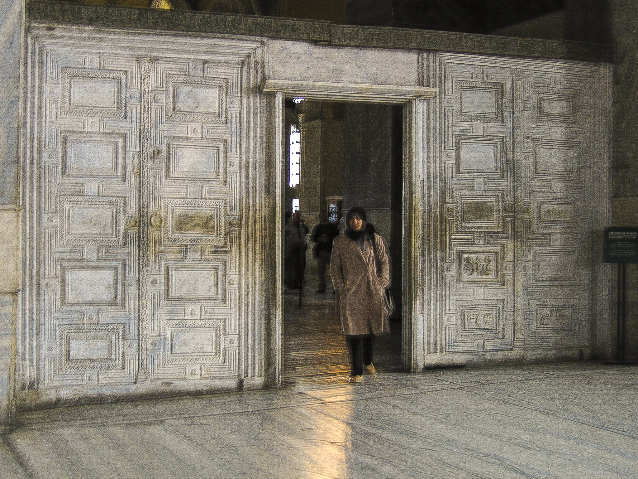
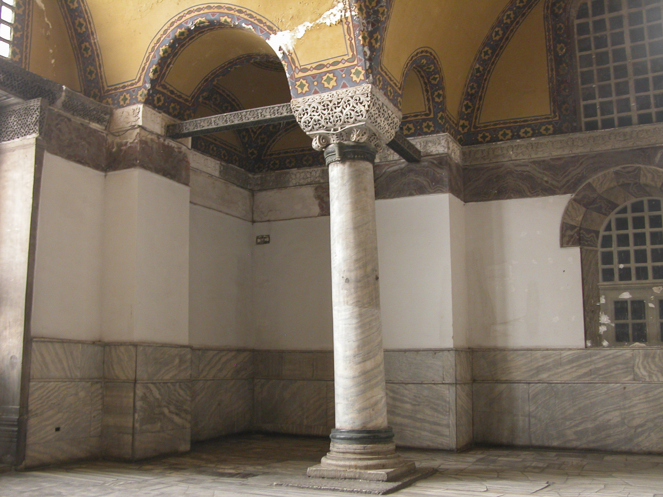
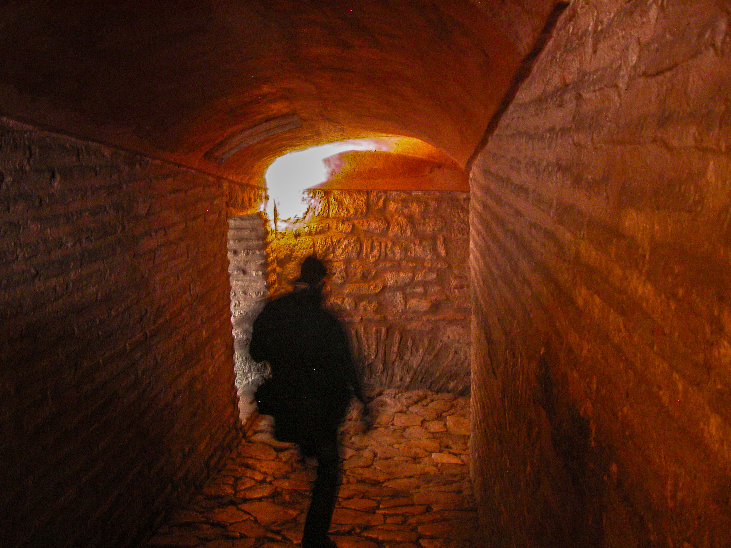
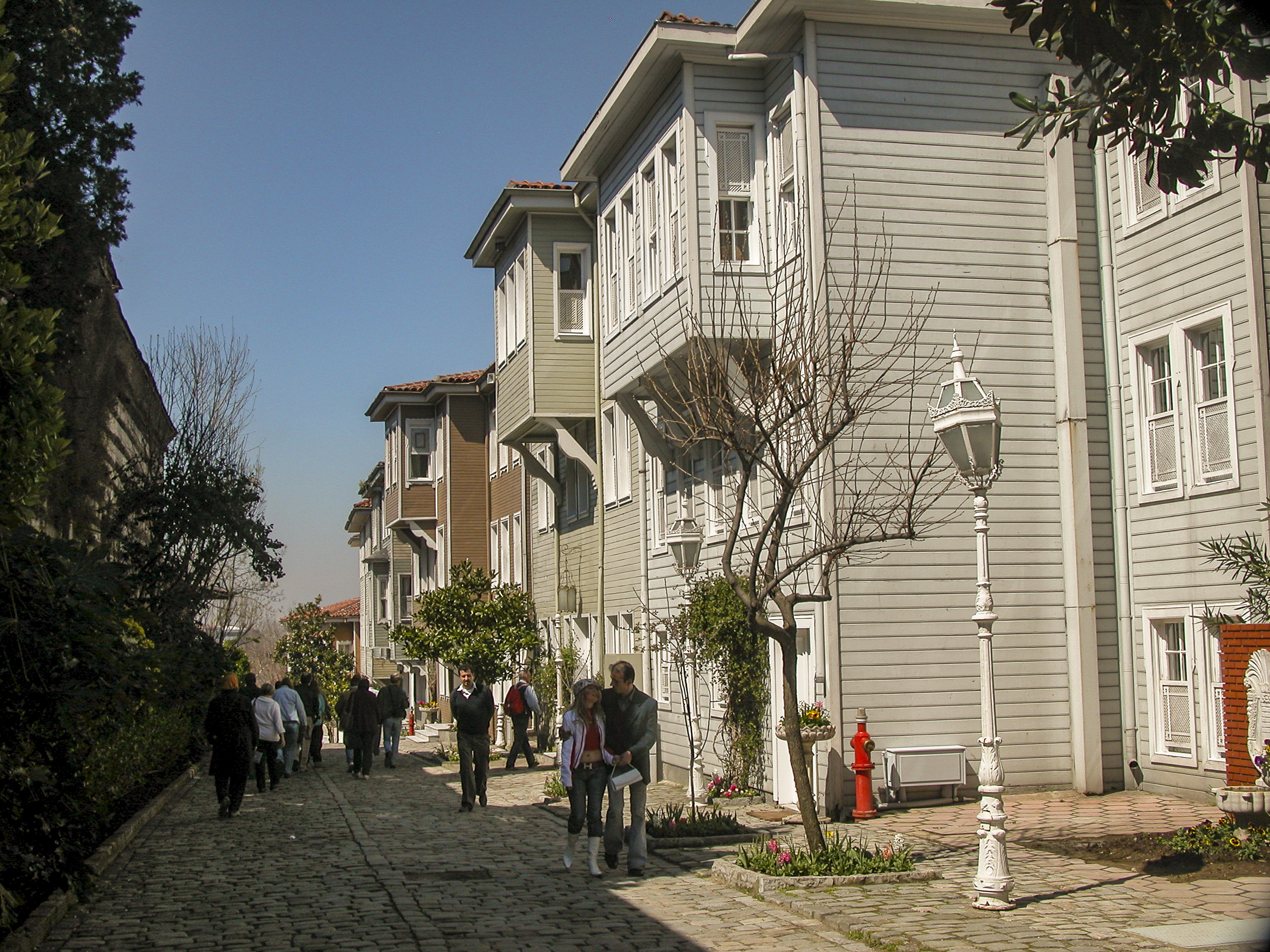
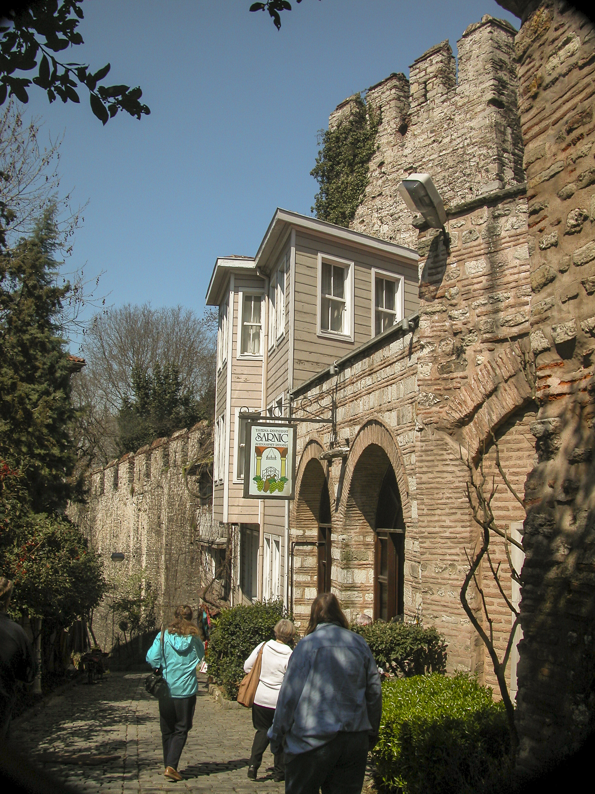
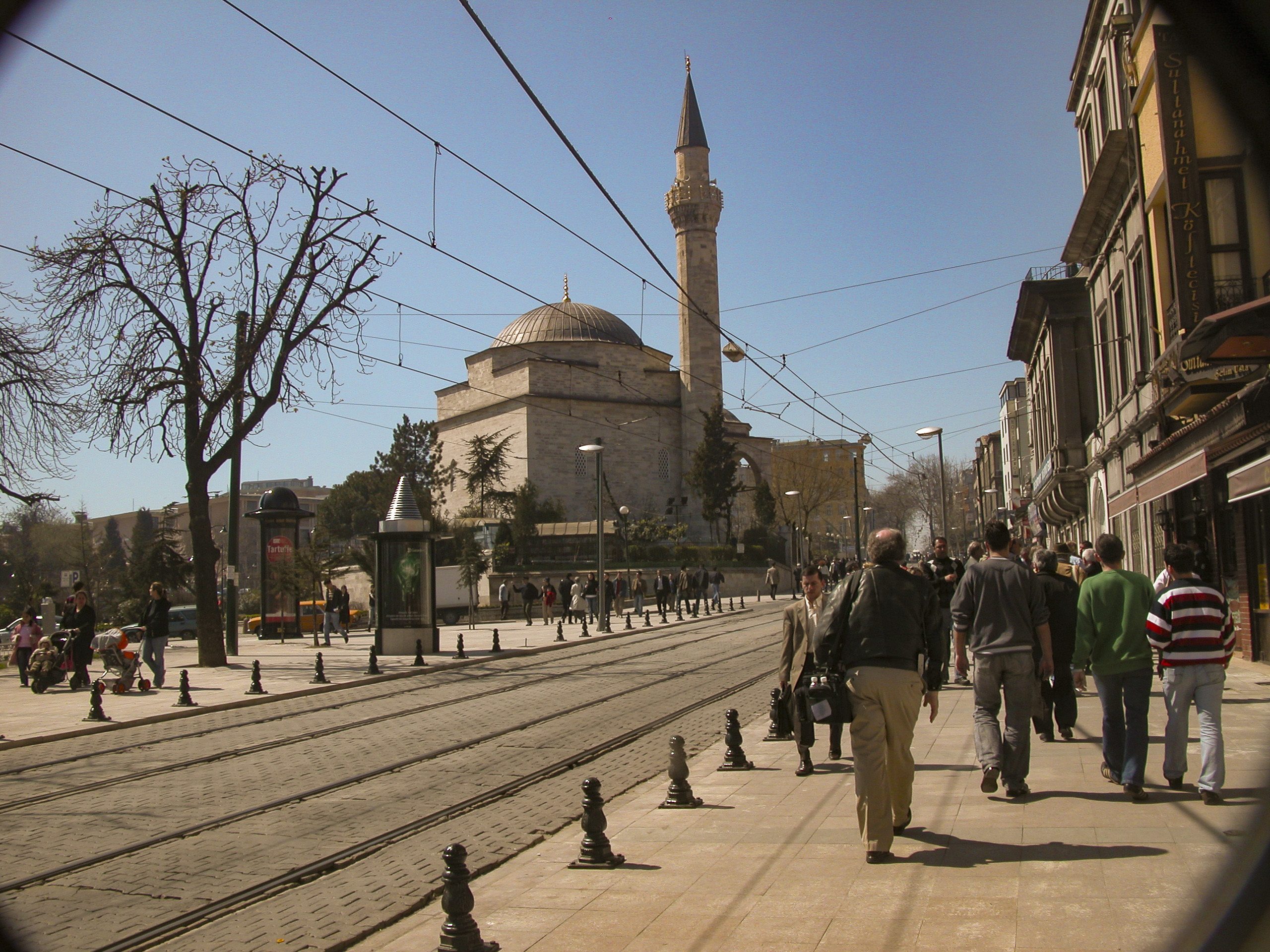
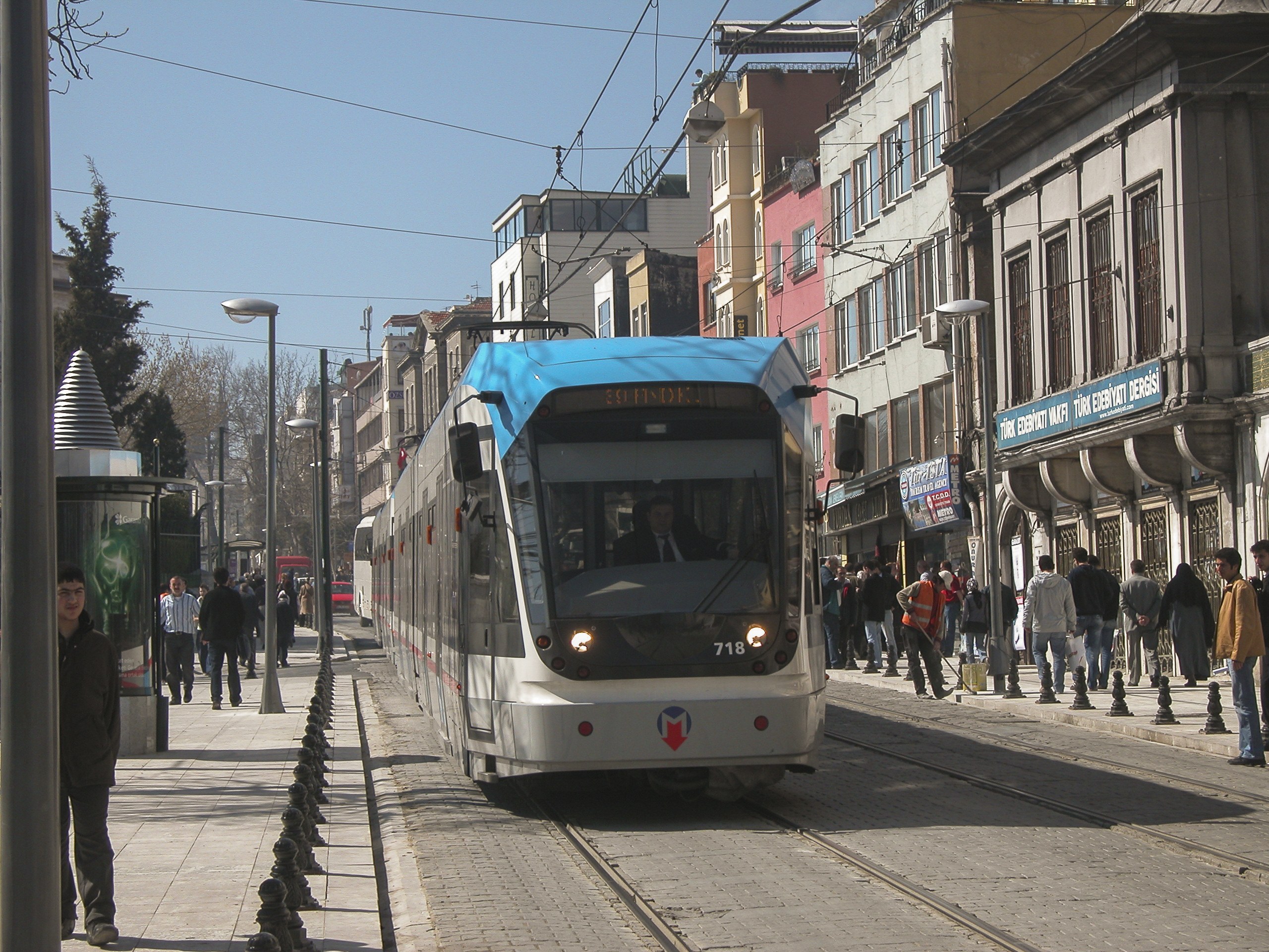
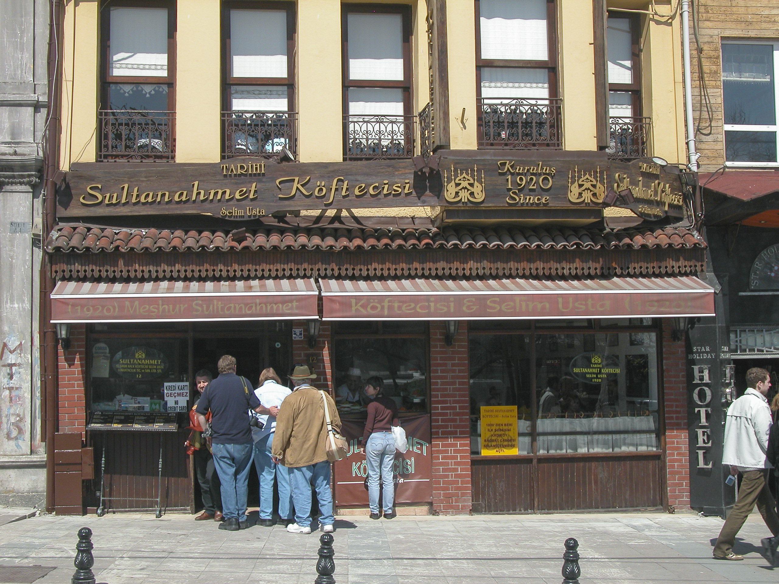
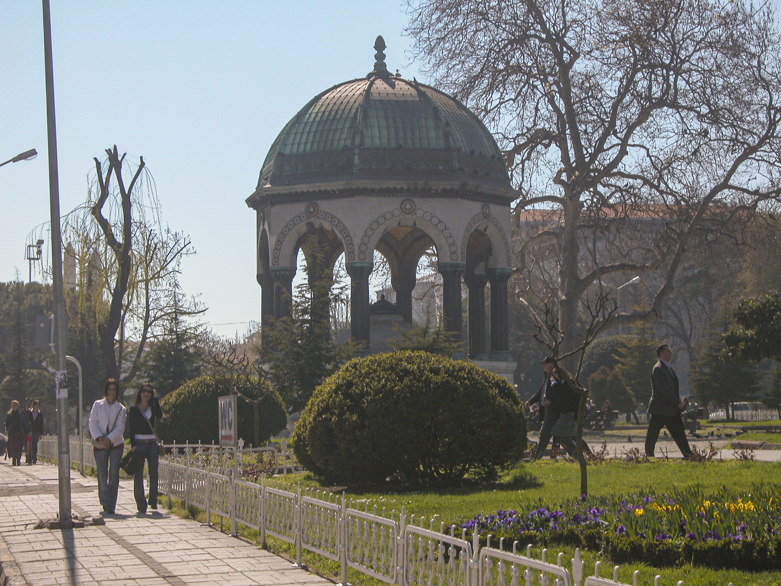
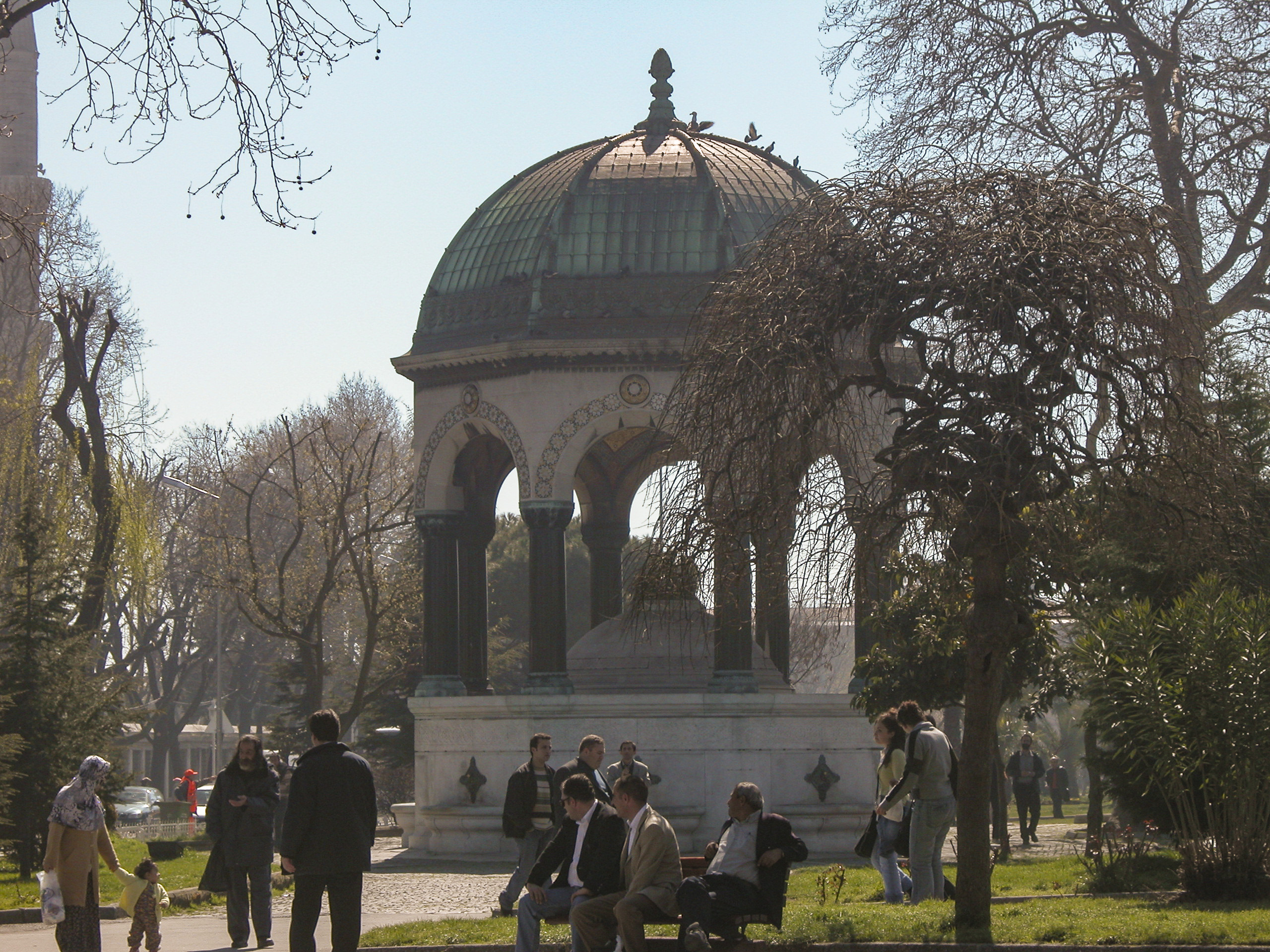
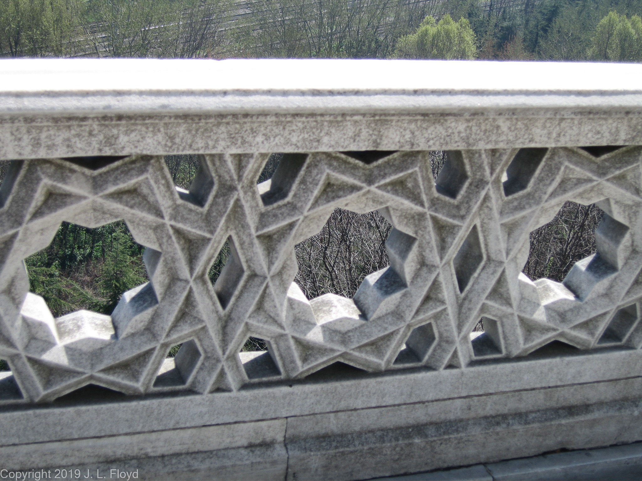
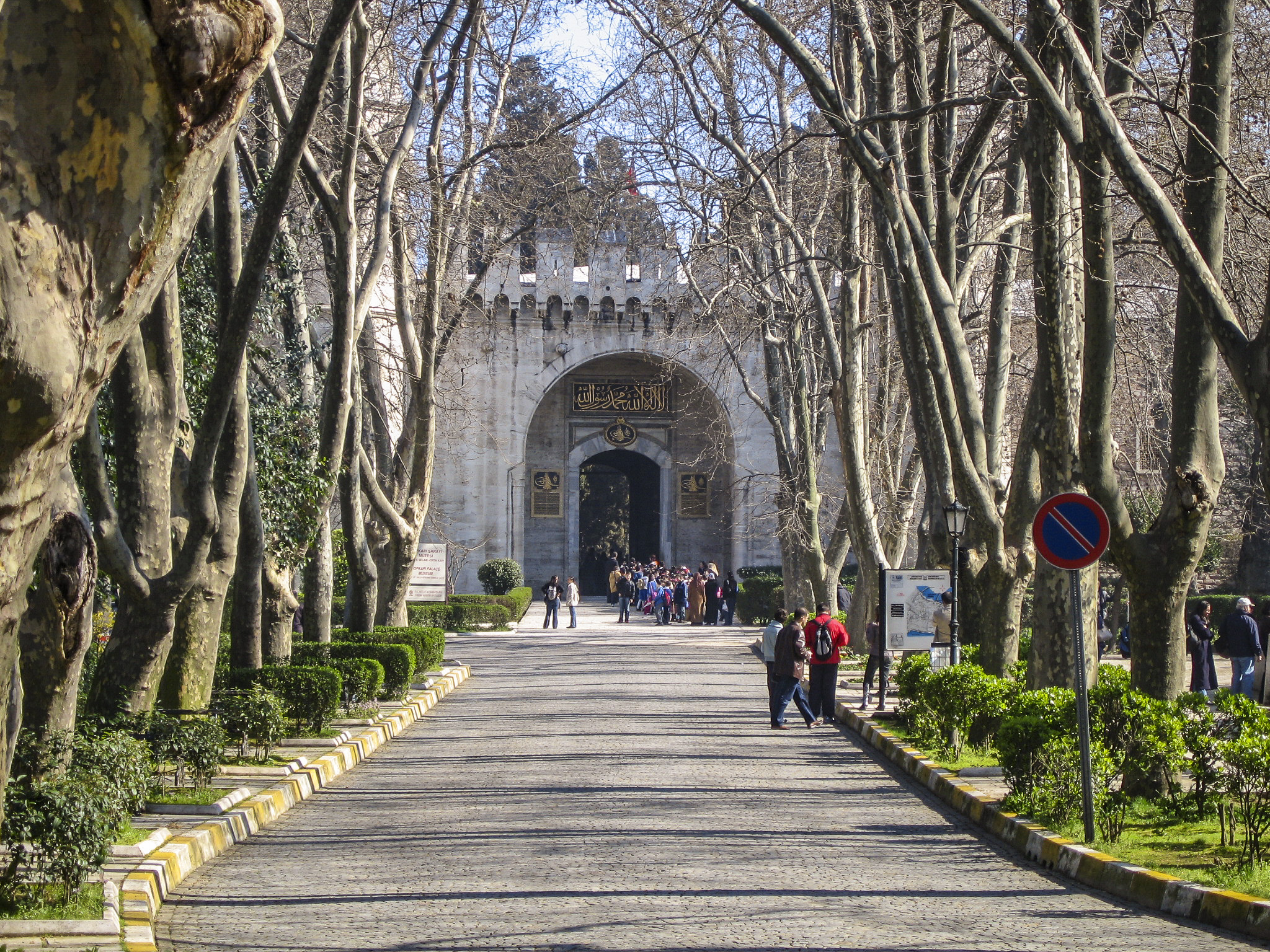
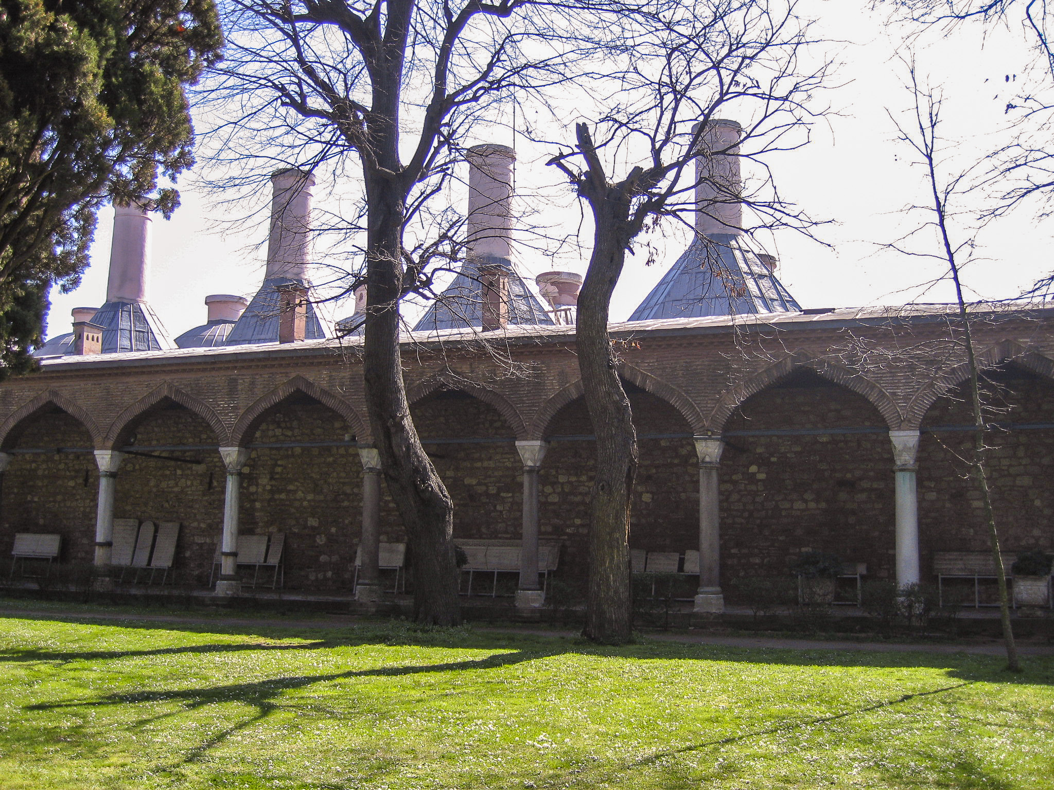
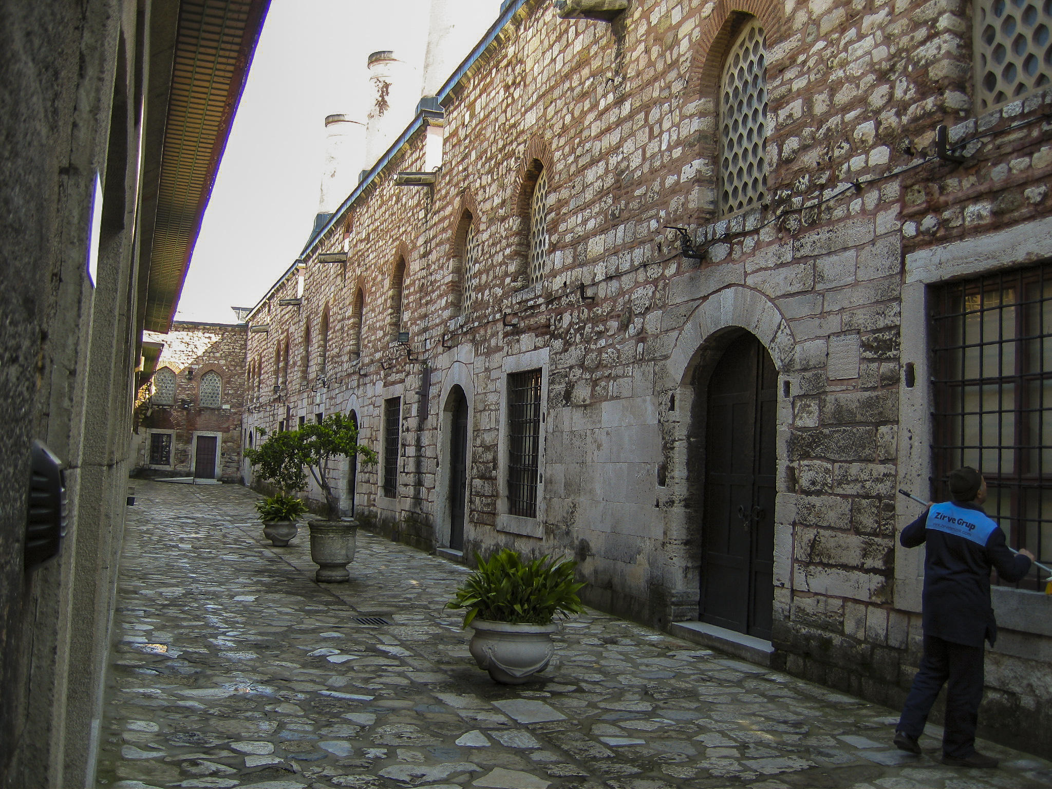
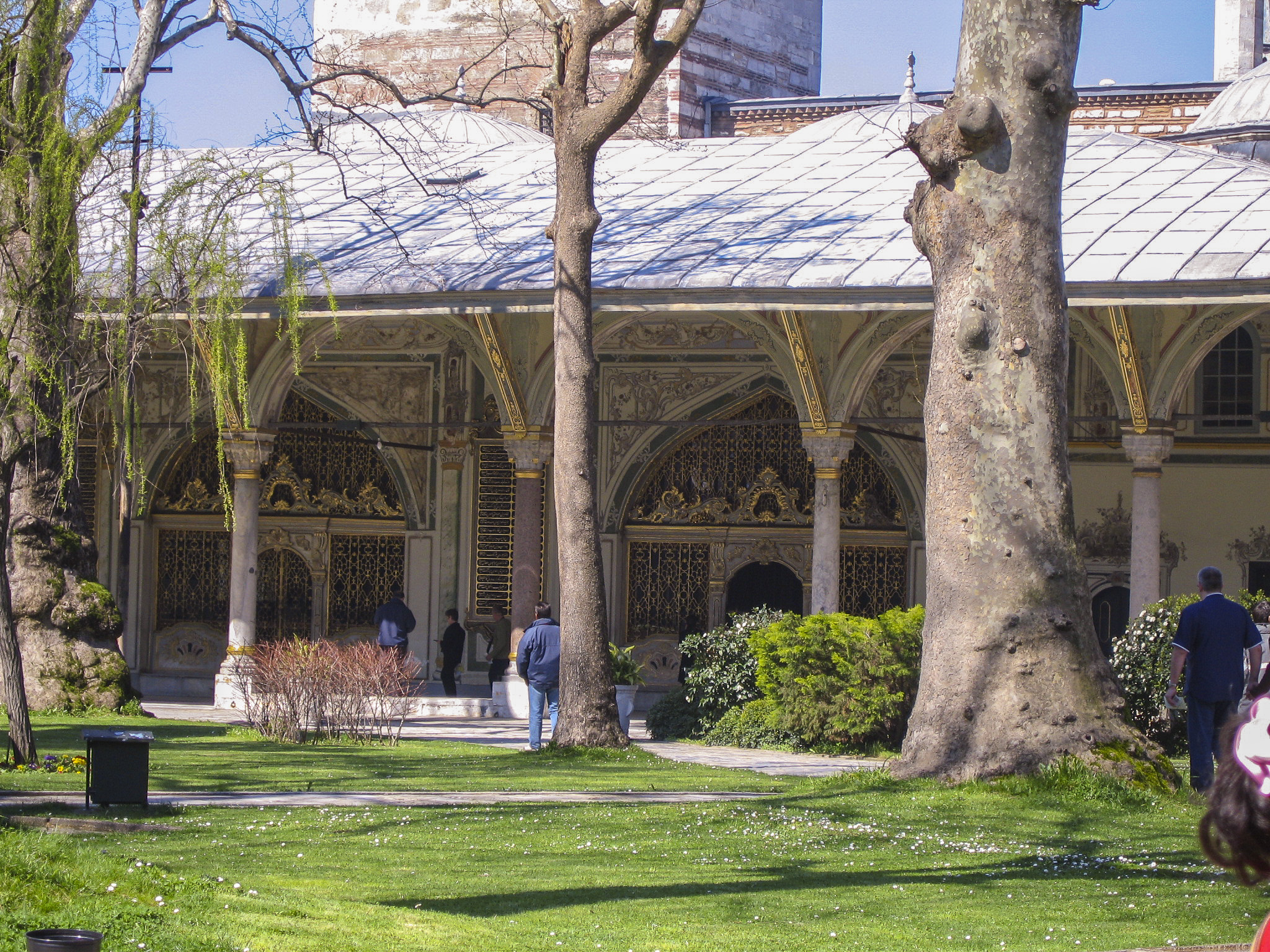
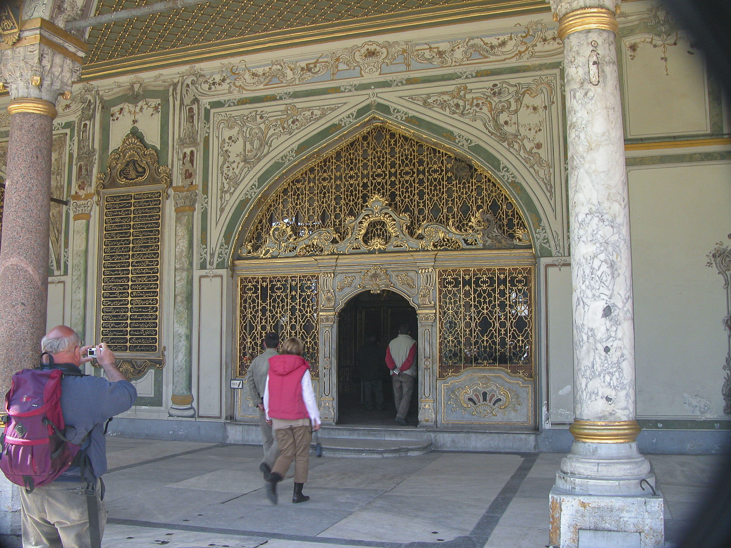
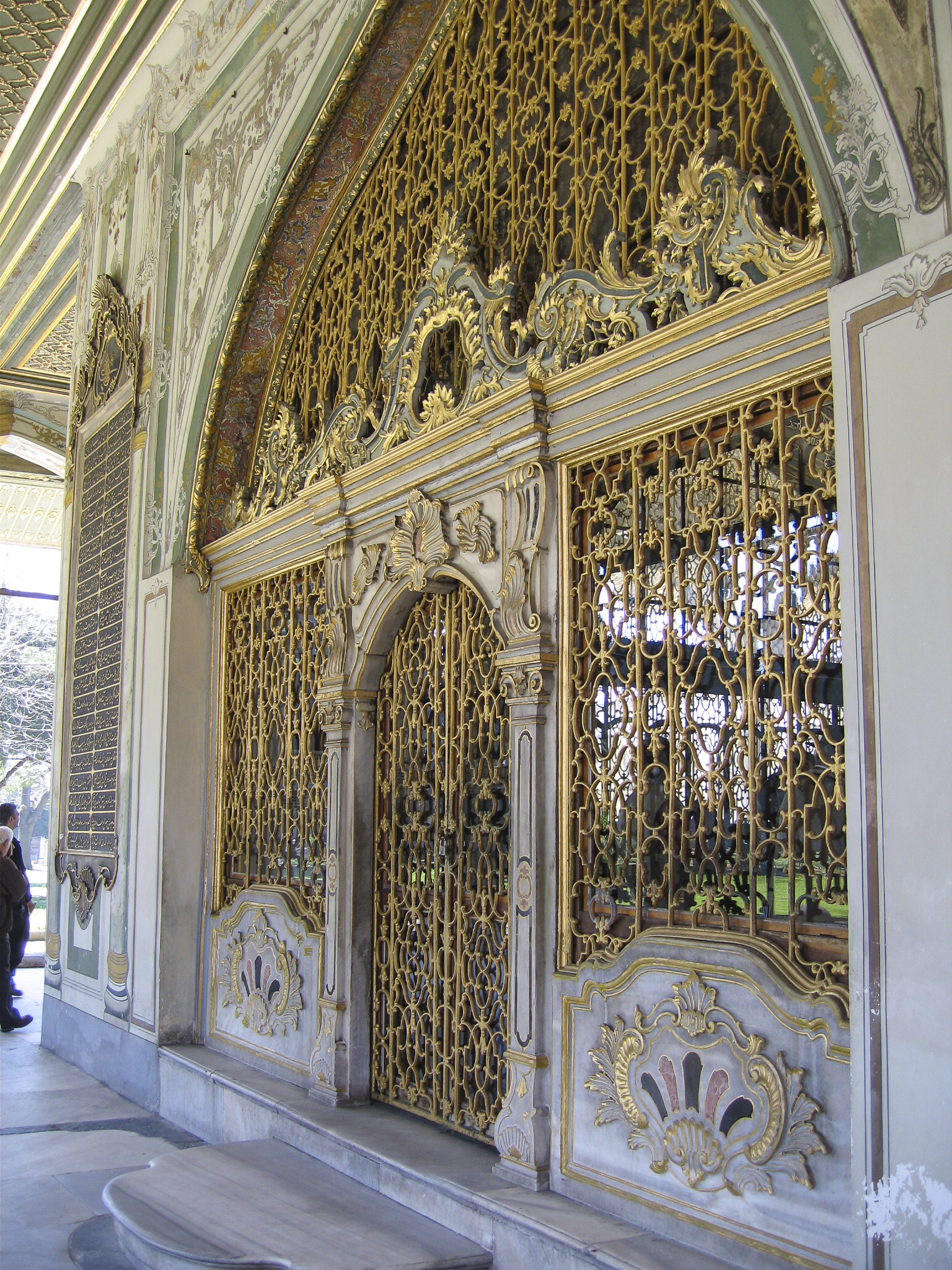
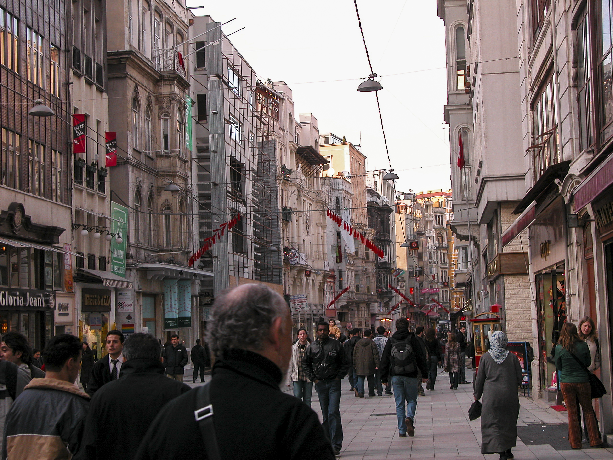
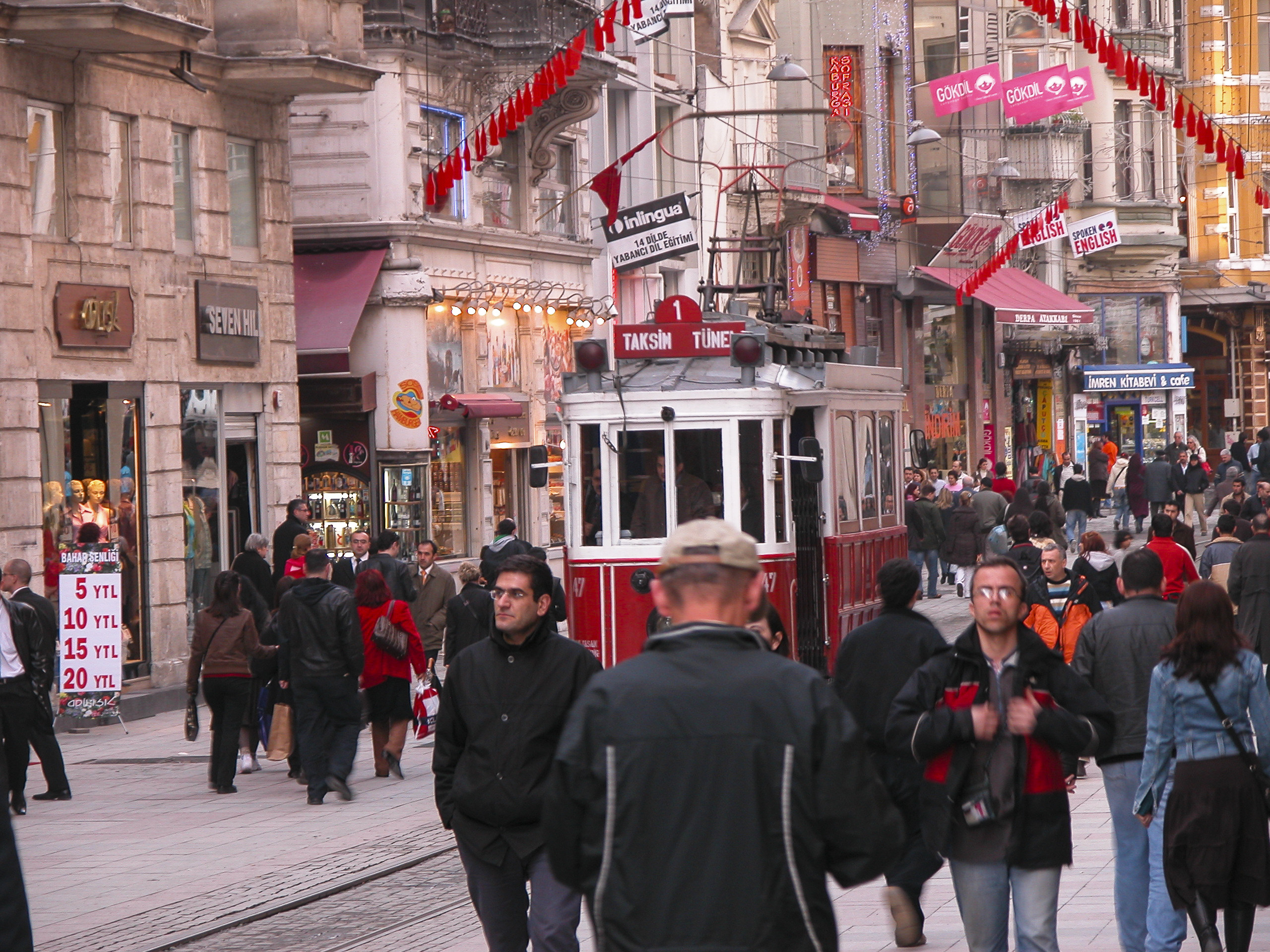
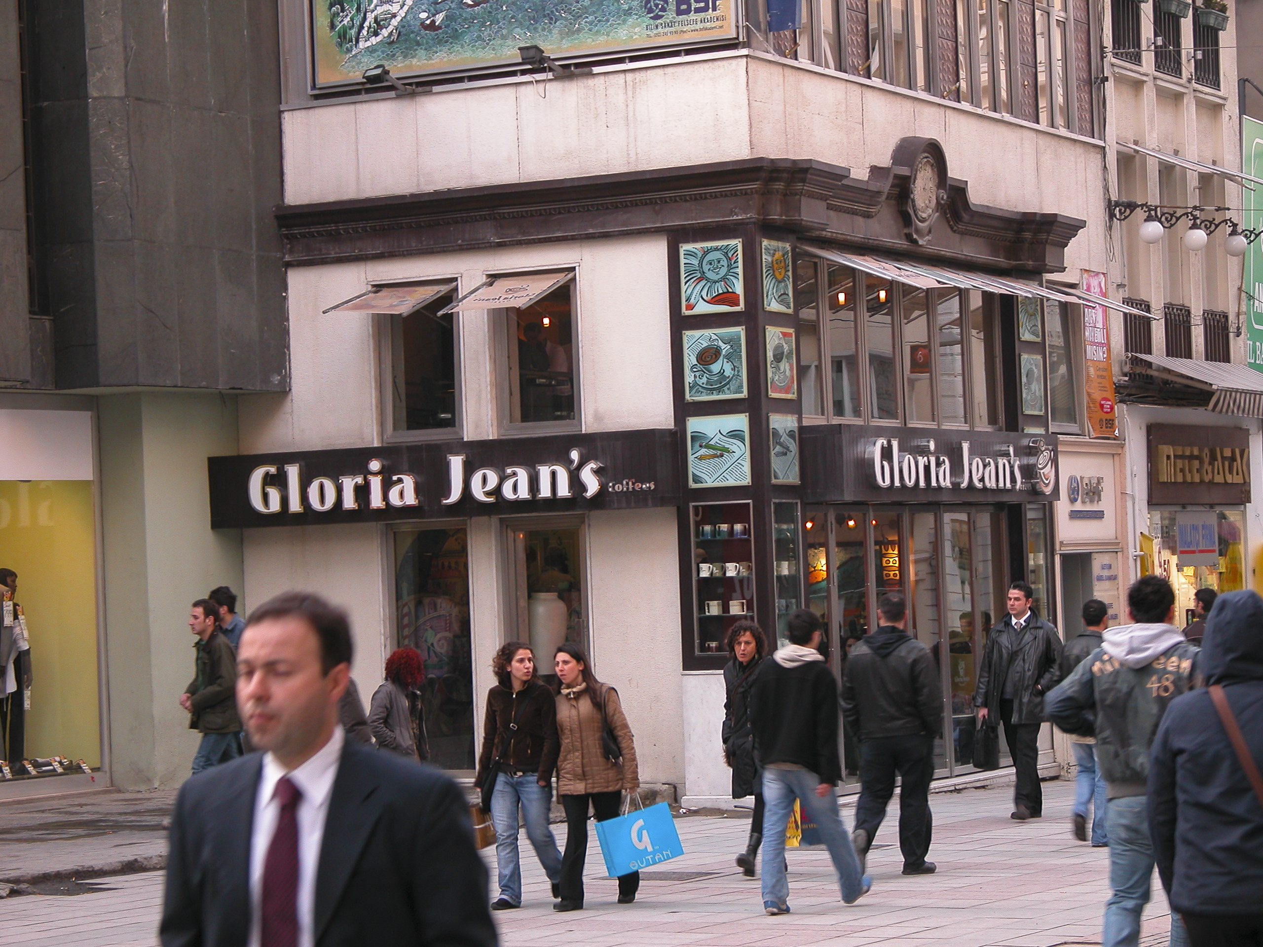
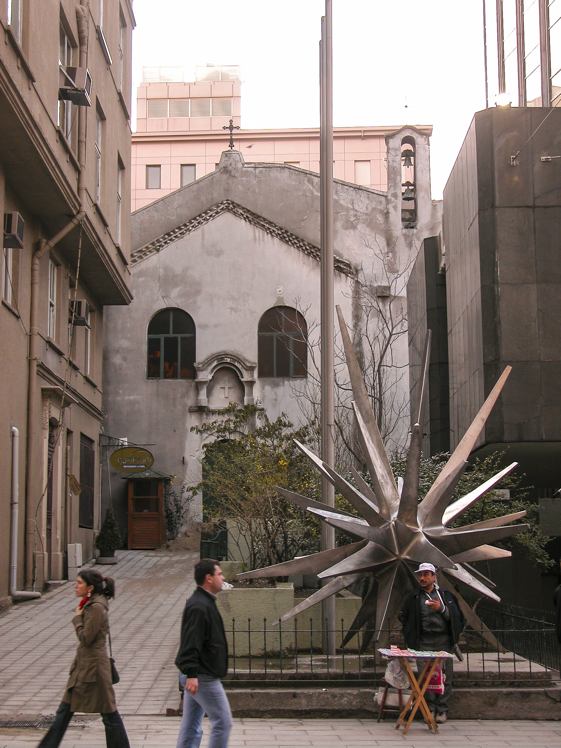
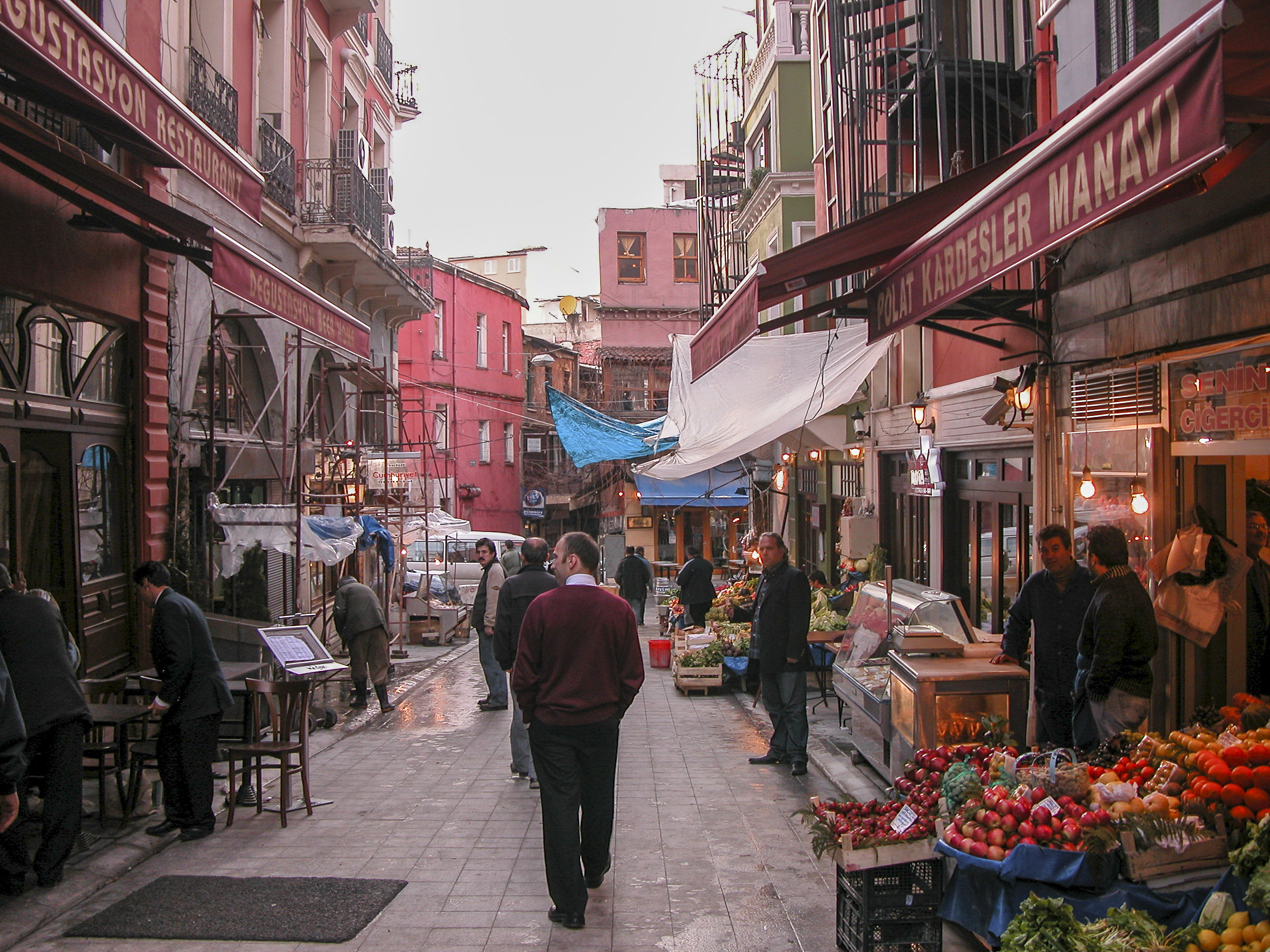
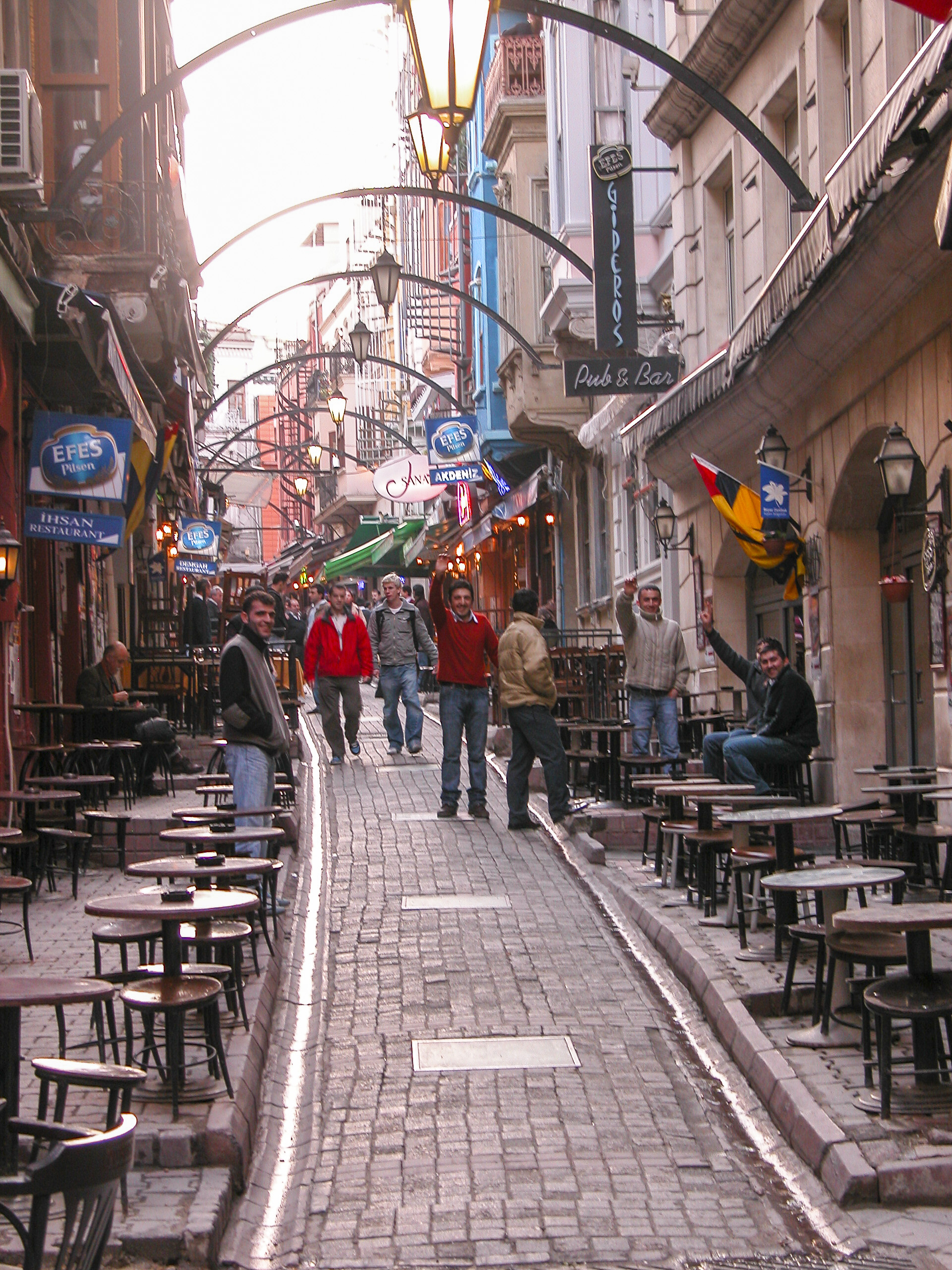
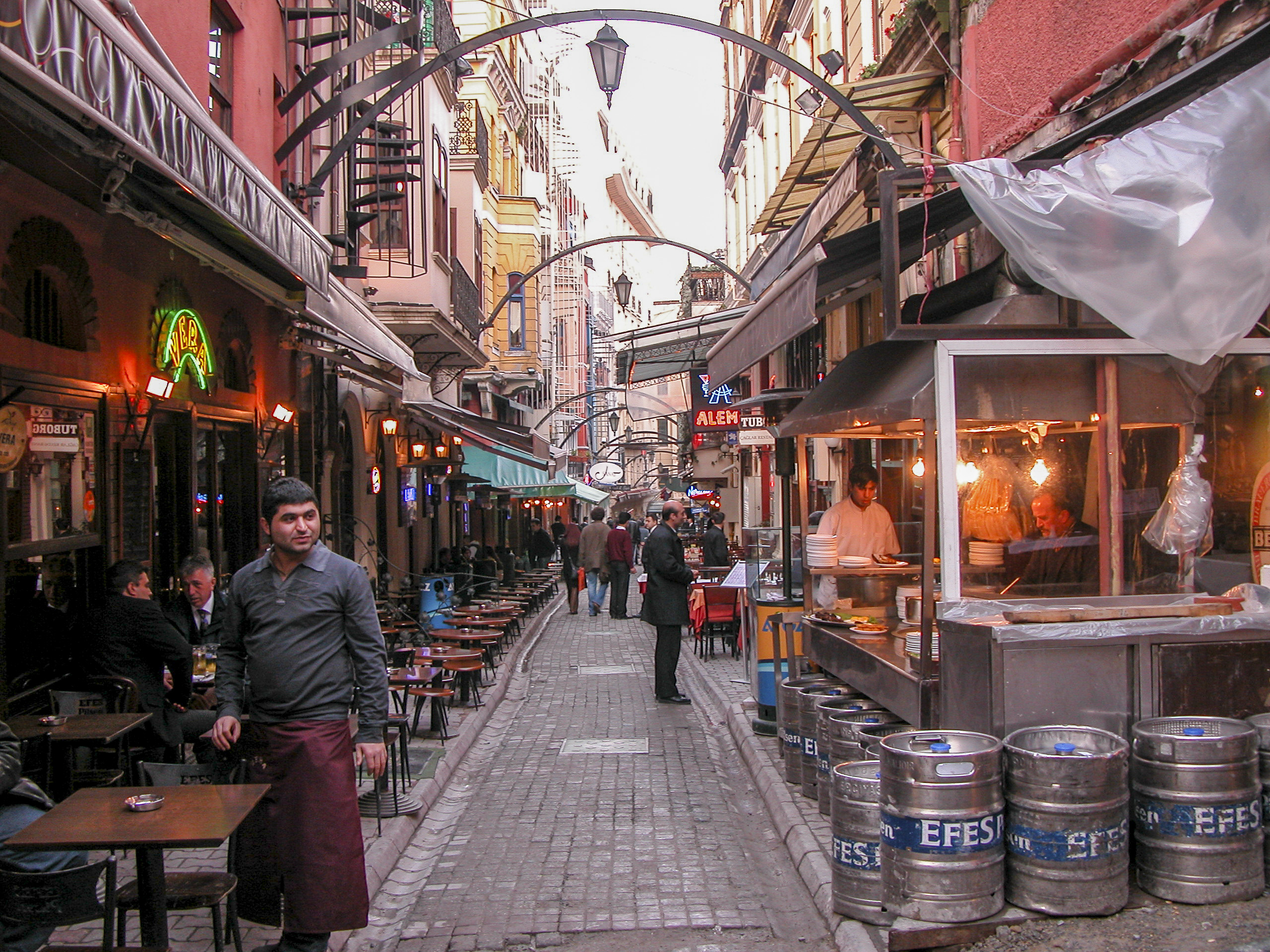
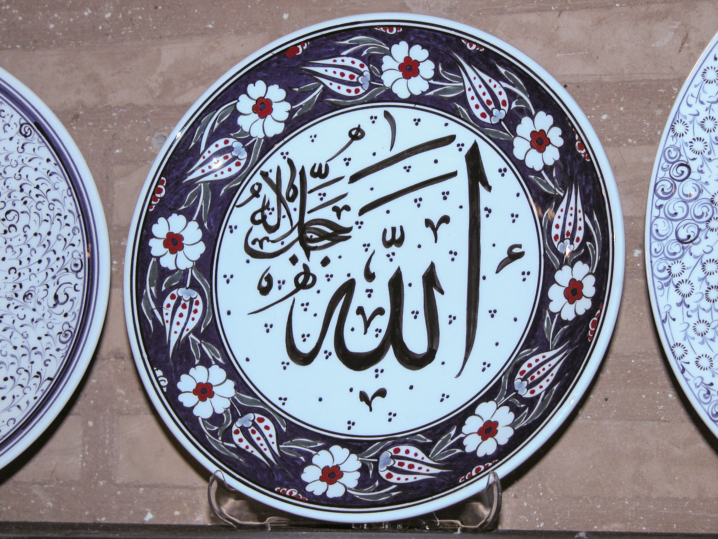
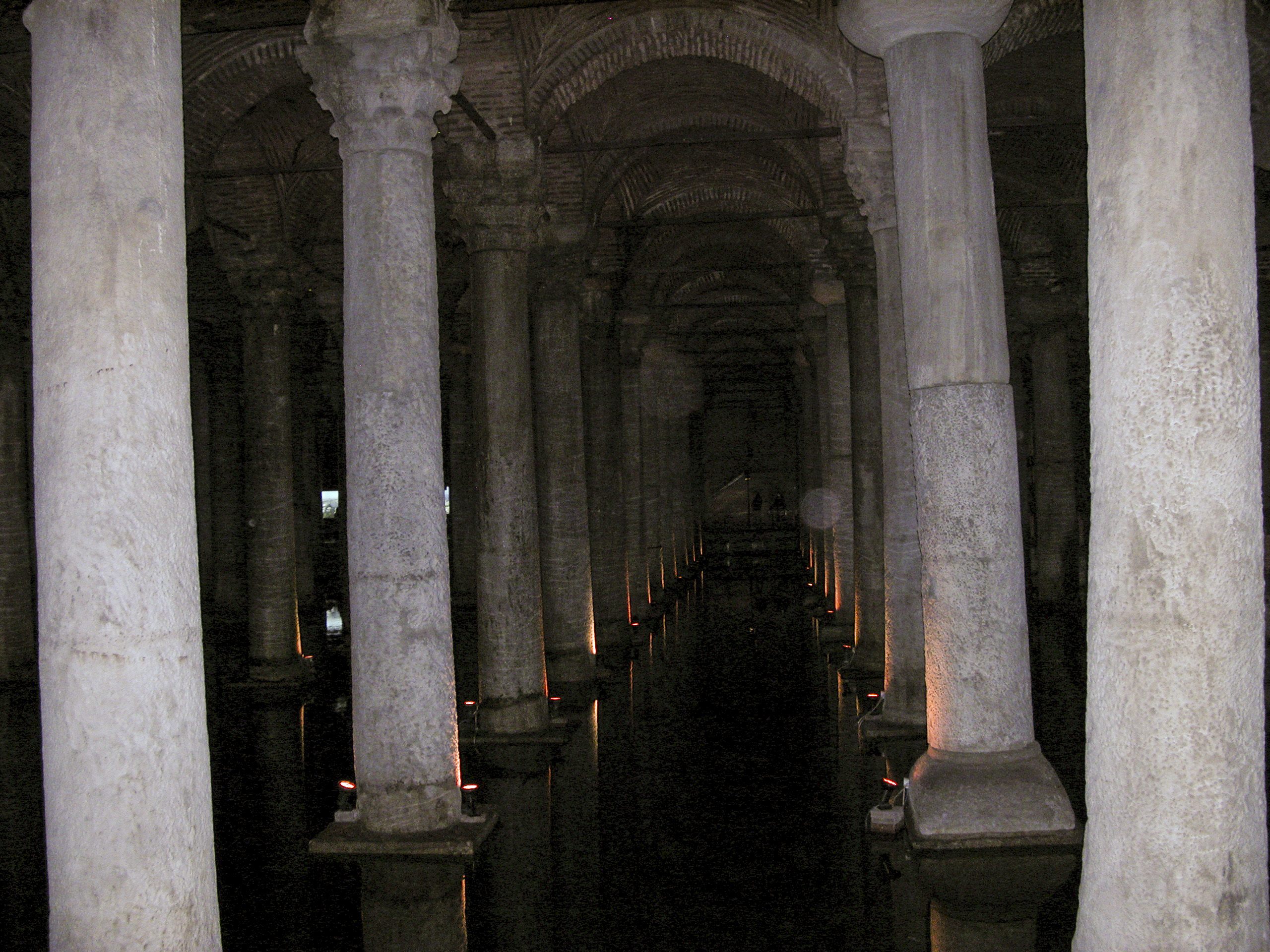
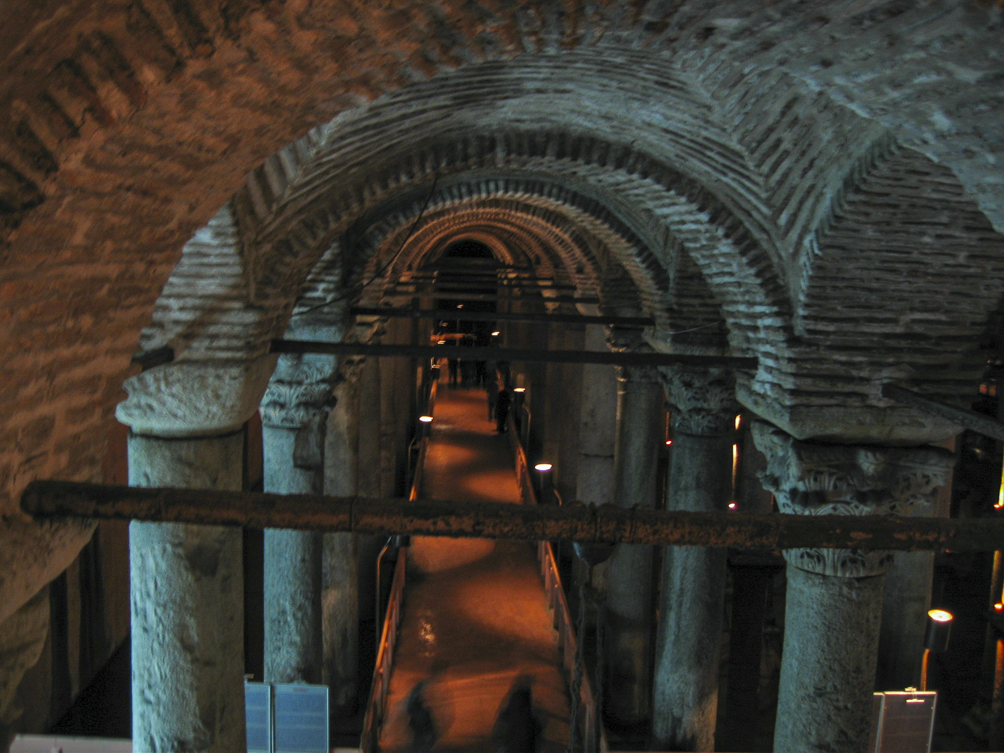
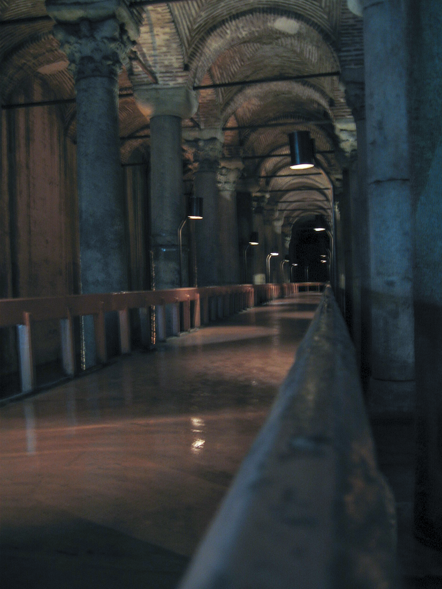
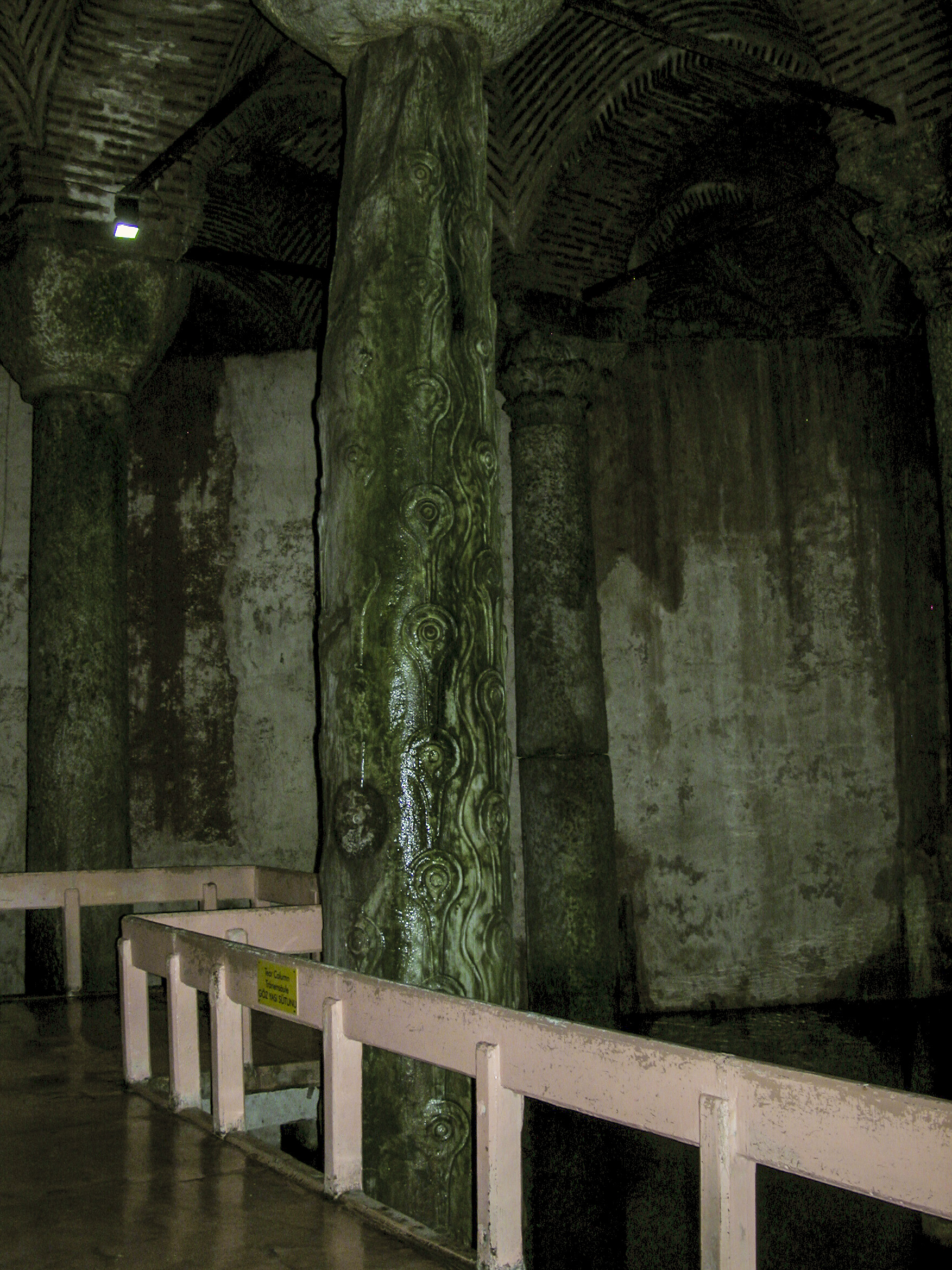
The Grand Bazaar, or in Turkish Kapalıçarşı, meaning “covered market”, is located in the heart of Istanbul, to the west of Hagia Sophia and Sultanahmet Square. As I recall we had to walk some way through a maze of pedestrian-only streets to get there, such as the one in the picture below.
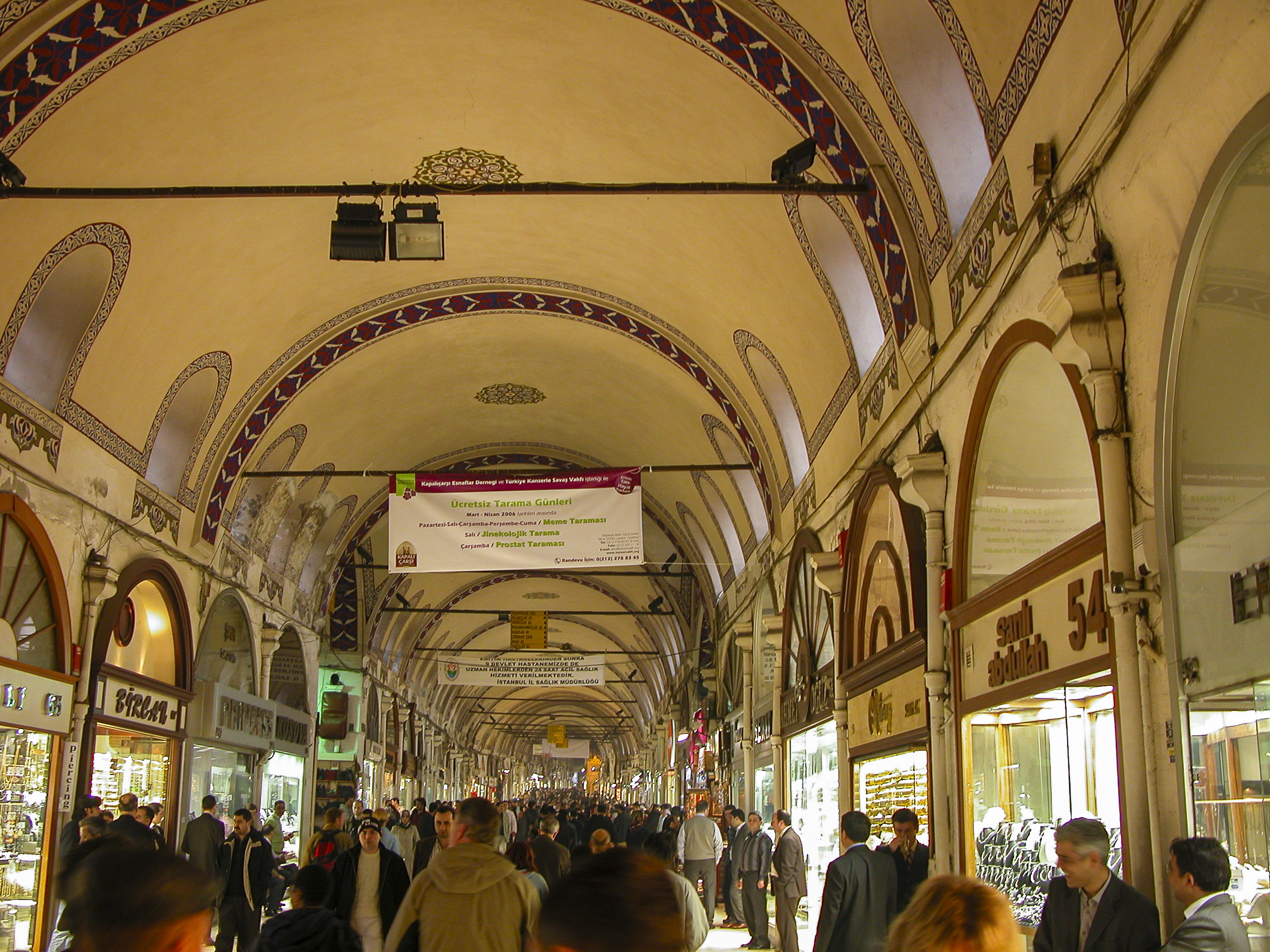
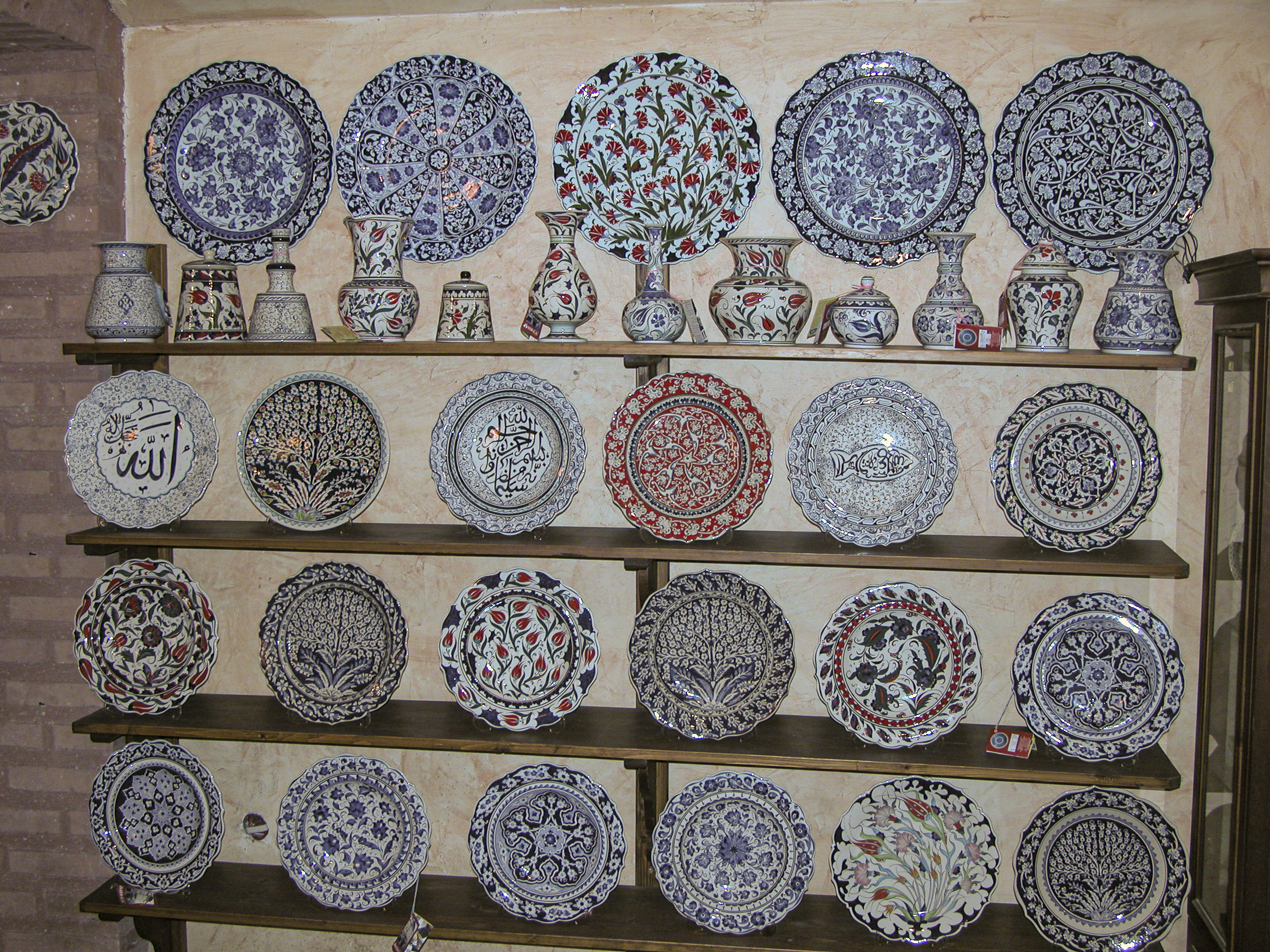
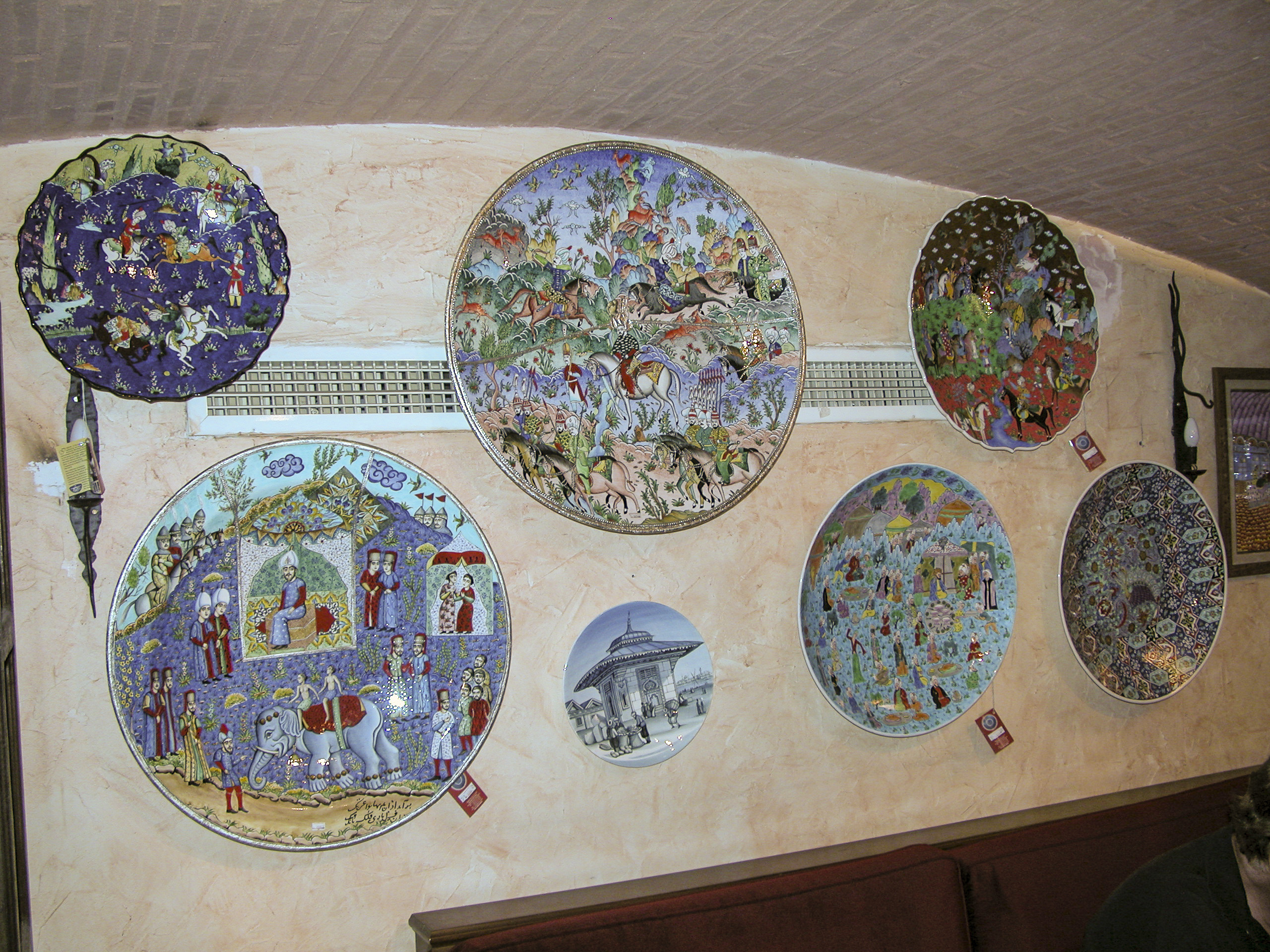
The Grand Bazaar has been around in some form since shortly after the conquest of Constantinople in 1453, when Mehmed the Conqueror undertook to stimulate the economy by building a market called the Bedesten near his Old Palace. Over the centuries it continued to grow, with new additions and the absorption of other markets, until the early 19th century, when it began to decline as a result of the inundation of cheap goods from Europe associated with the Industrial Revolution. However, in modern times it has recovered and today is a thriving complex, employing 26,000 people, with with 61 covered streets and over 4,000 shops, selling all manner of goods. Modern shopping malls may have more conveniences, but the Grand Bazaar has atmosphere.
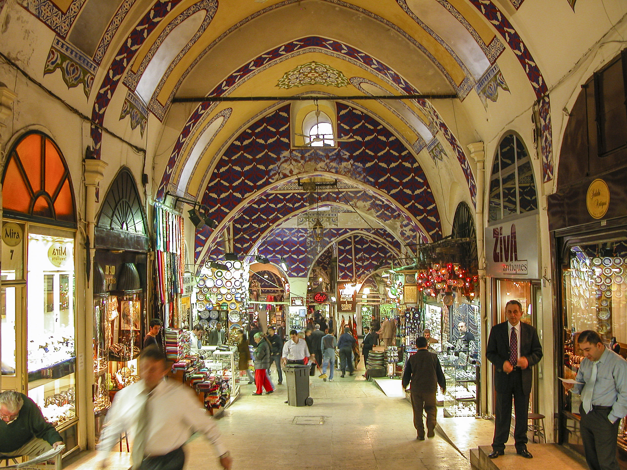
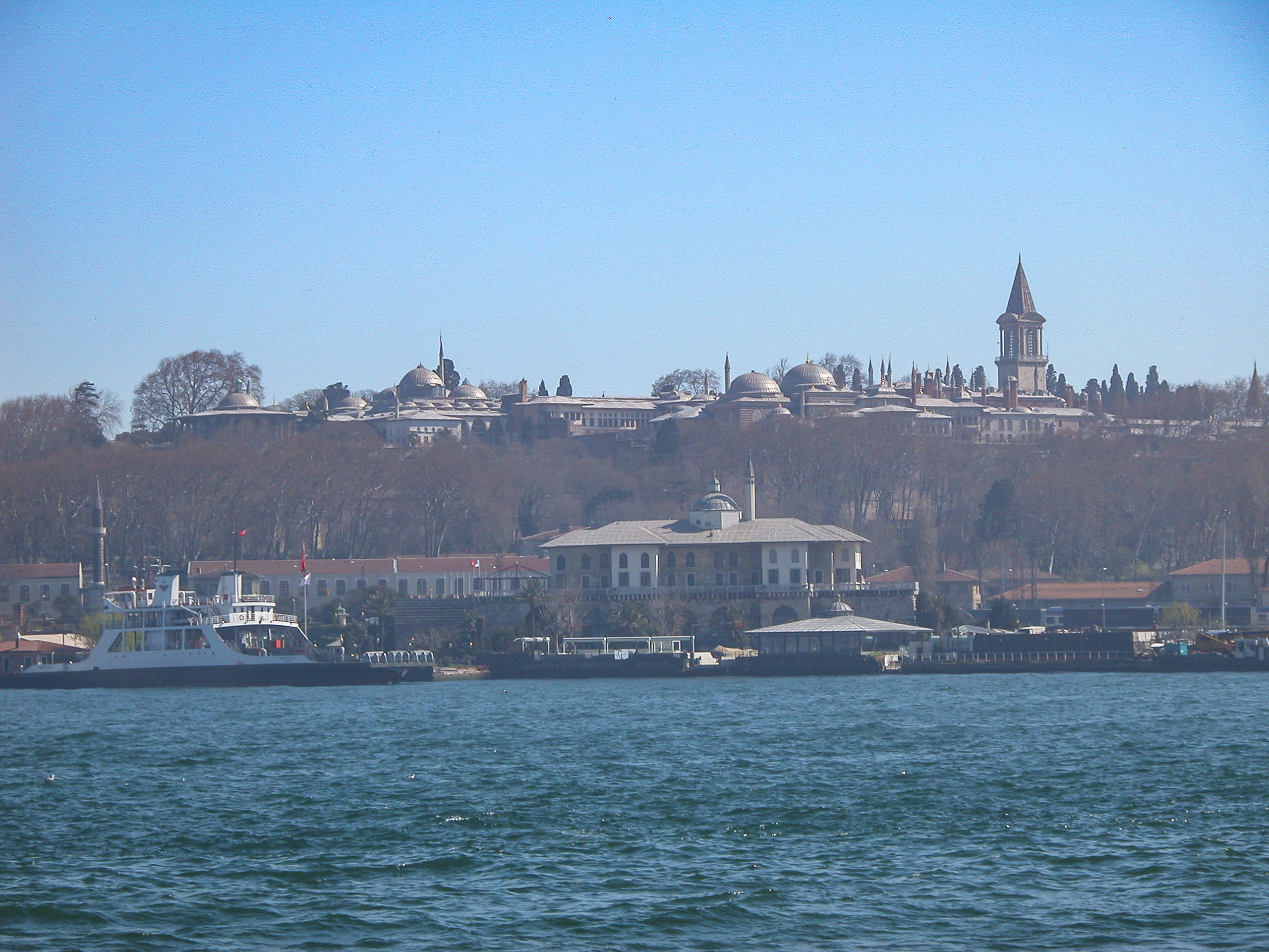
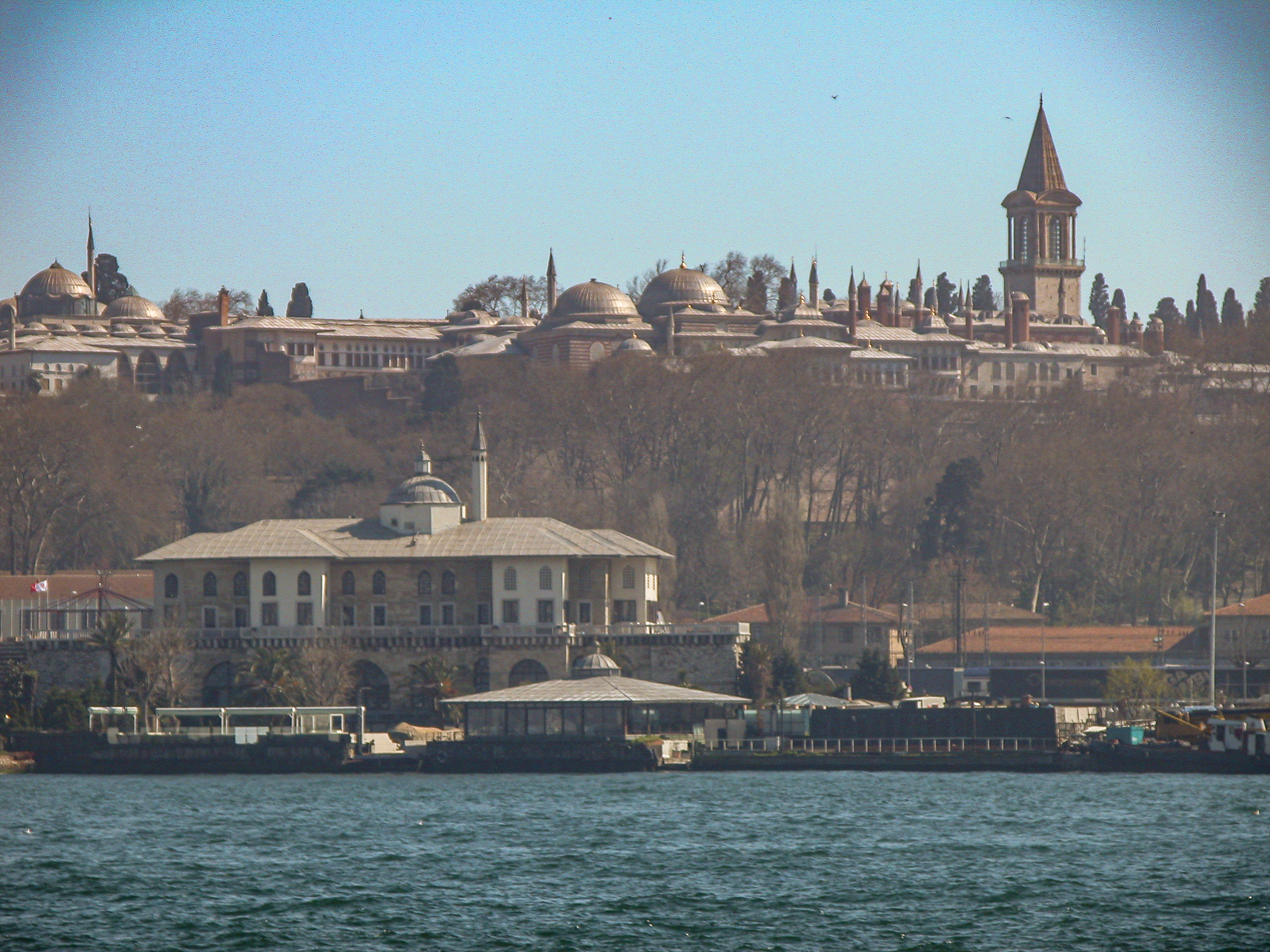
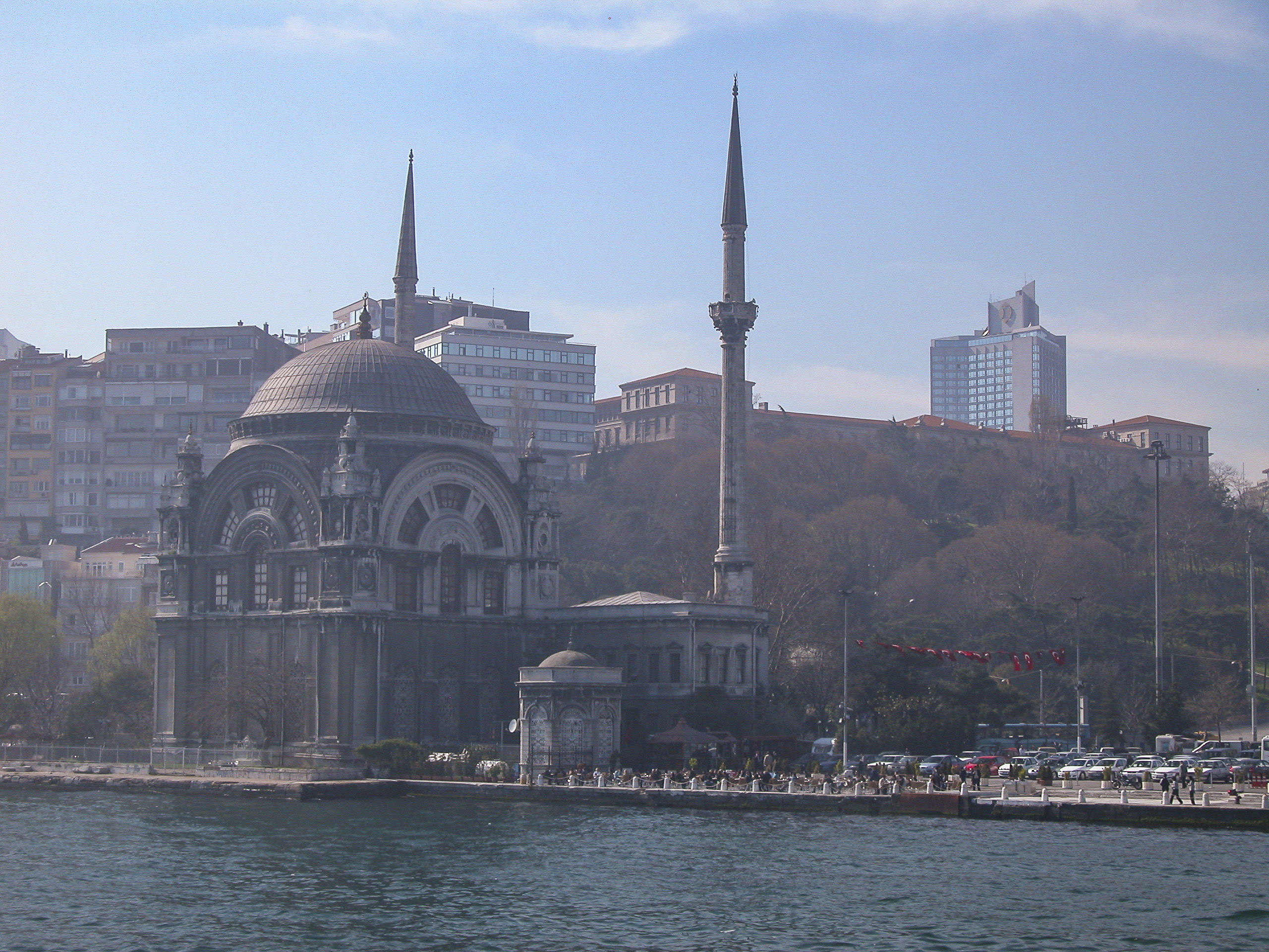
The Grand Bazaar is a daunting labyrinth. It’s easy to get lost in there, and in order to avoid being late to our next destination, Attila made us promise to rendezvous after an hour at an appointed location near the entrance. But Sandie was late arriving at the rendezvous point, and I began to fear that she had been kidnapped by janissaries and spirited away to some pasha’s harem. We sent out search parties, but it was impossible to find anyone in the teeming interior of the bazaar. Luckily she showed up just before we had to call off the search and abandon her to her fate. Having rounded up Sandie, we boarded the bus and sped off to our final destination for the afternoon, the Dolmabahçe Palace.
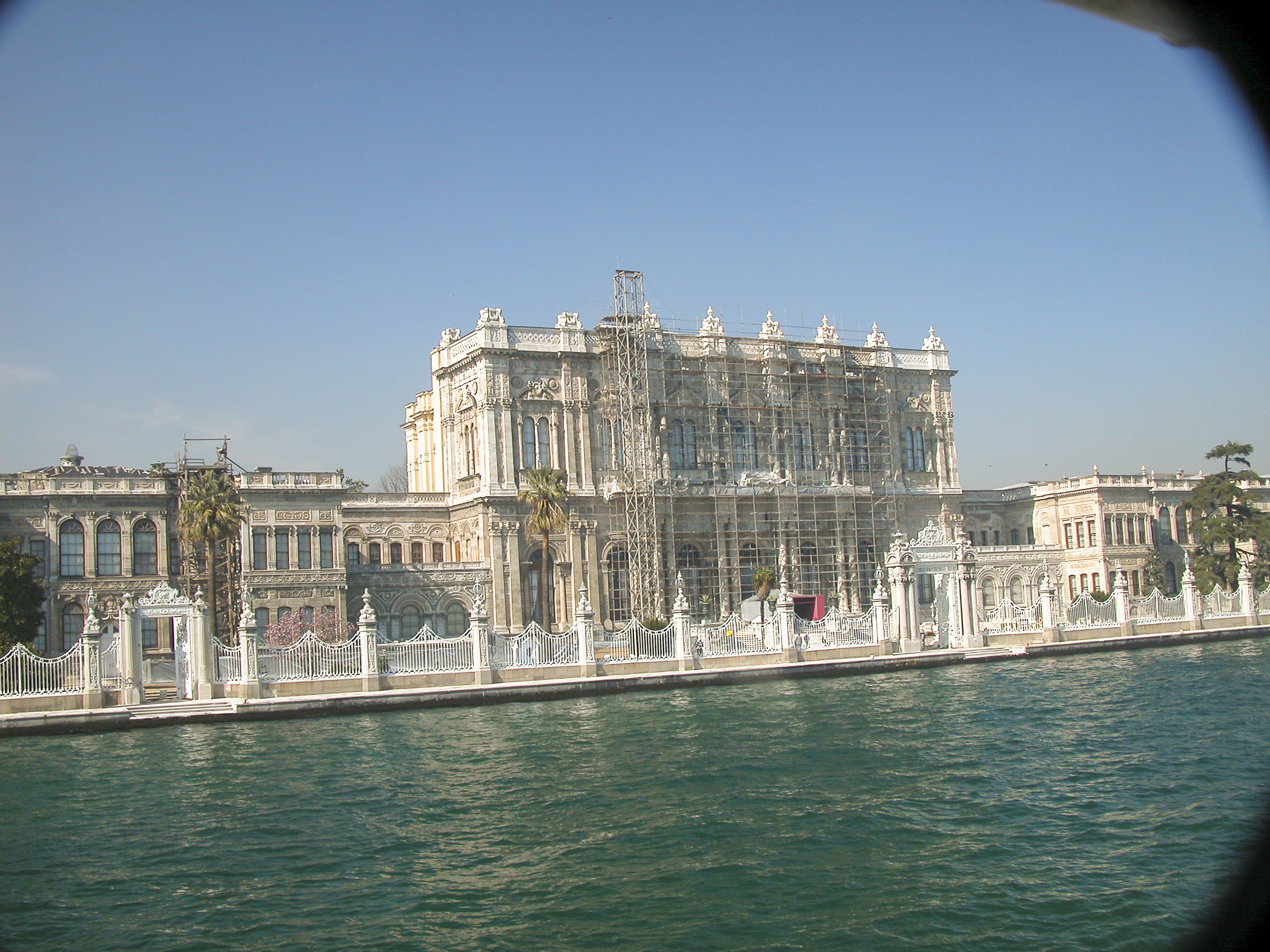
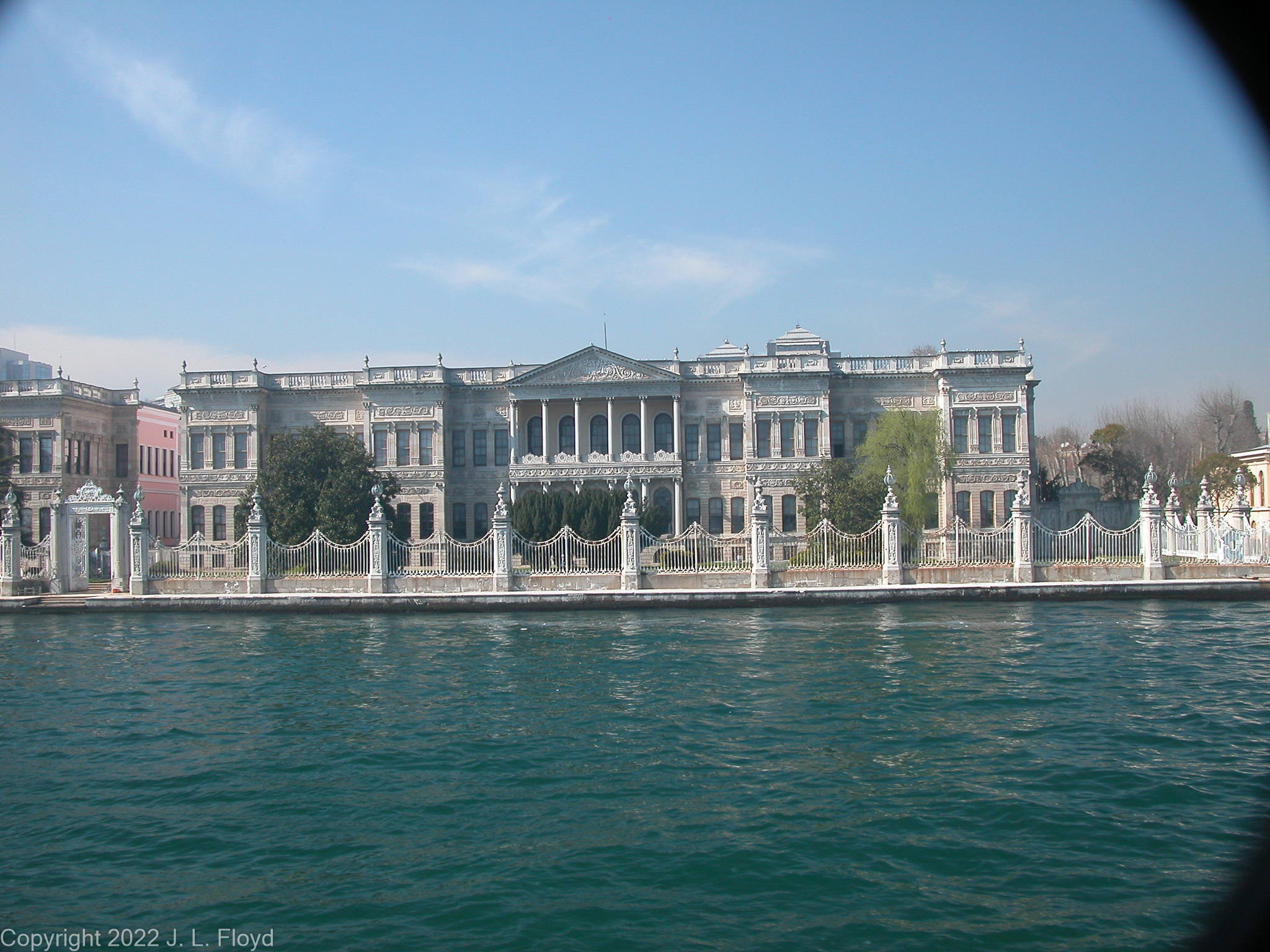
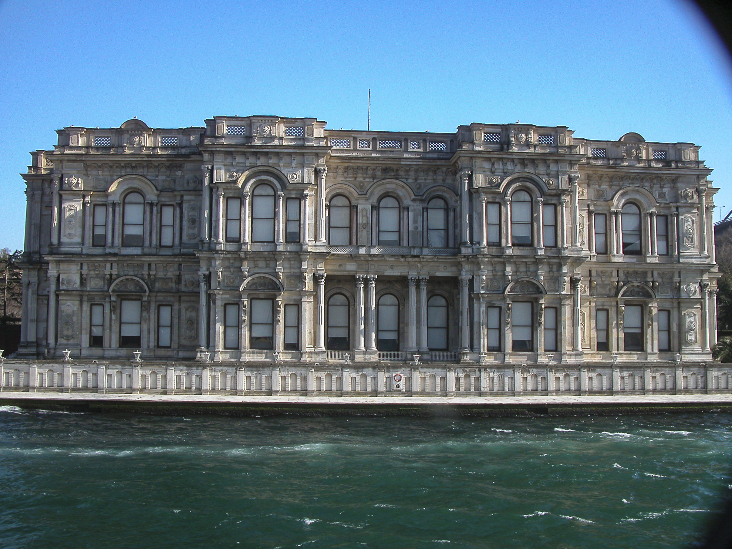
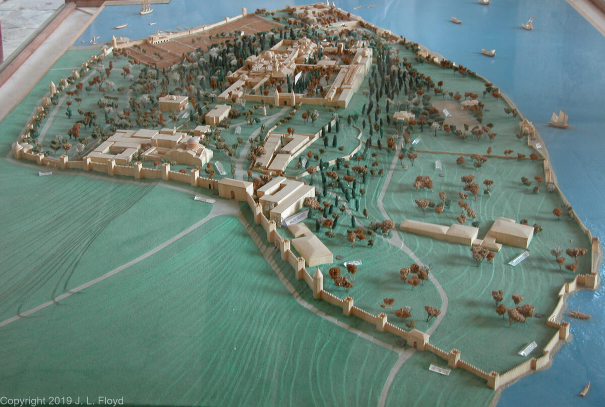
The reforming Sultan Abdülmecid I started building the Dolmabahçe Palace in 1843 because he wanted something more modern and trendy than the Topkapı – something that would impress his European rivals. Indeed he sought to outdo and overawe them, and in so doing helped to precipitate the ruin of the Ottoman Empire, though he did not live to see it.
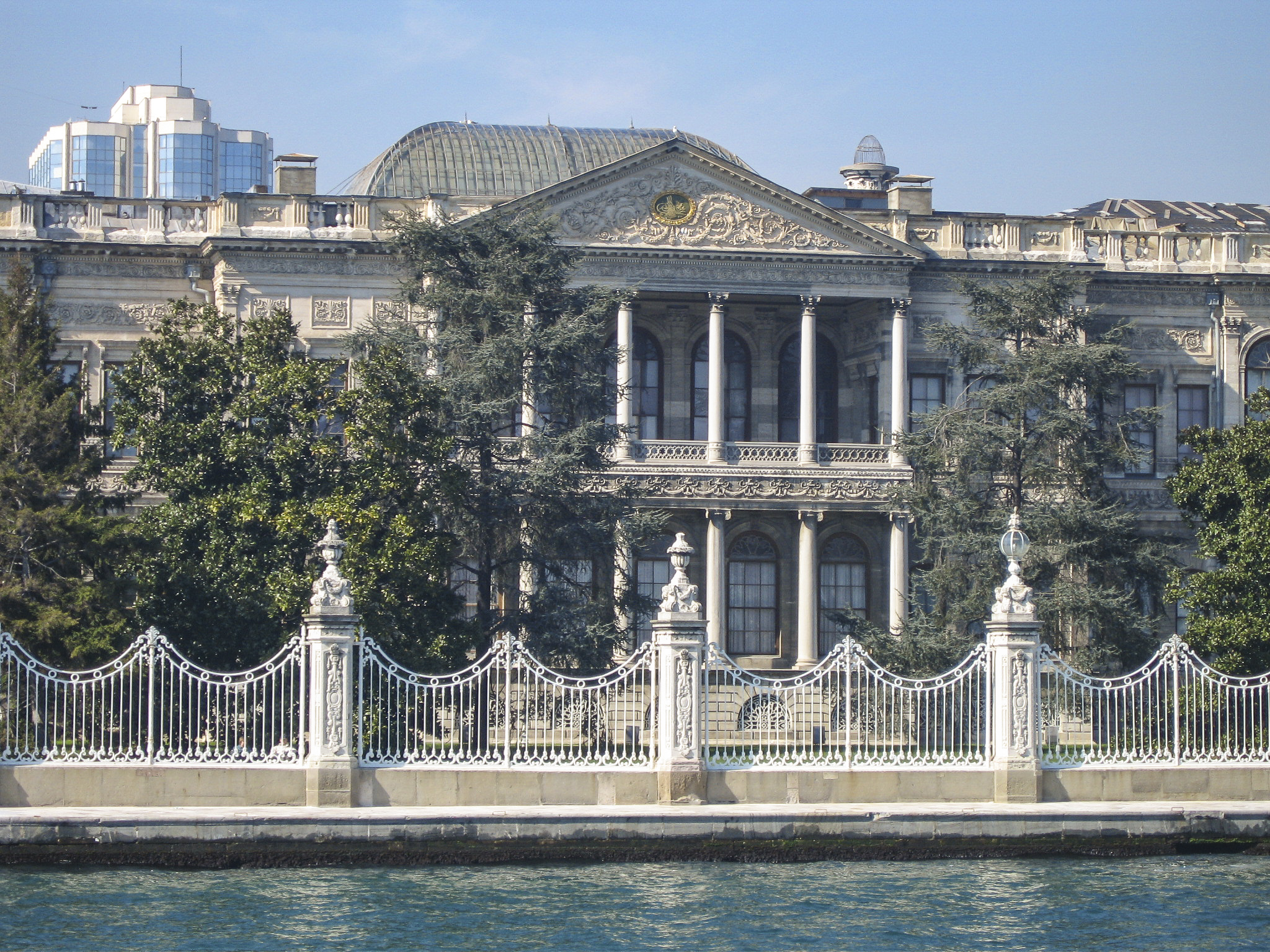
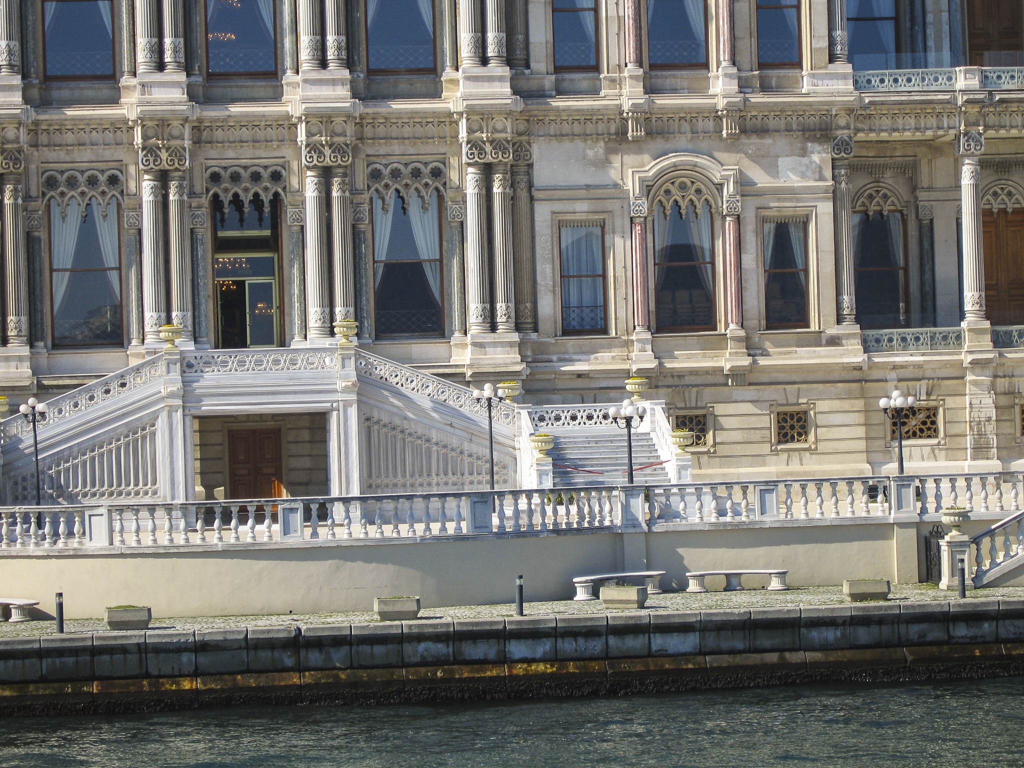
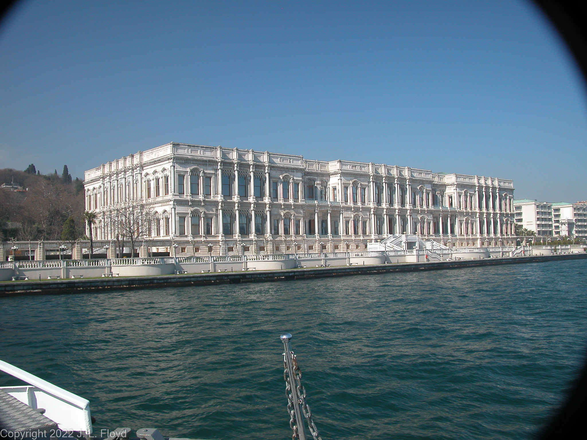
Dolmabahçe was not the first palace to be built on the shores of the Bosphorus, but it was the largest. It supplanted an earlier Topkapı-like complex called the Beşiktaş Waterfront Palace, which was demolished to make room for it. The design was entrusted, as usual, to the Armenian Balyan family of court architects. Heavily influenced by European models, it incorporated elements of Baroque, Rococo and Neoclassical styles, blending them with traditional Ottoman architecture. For in one particular respect Dolmabahçe remained fully anchored in Ottoman tradition: it continued to enforce strict segregation of the sexes. The southern (or western) wing, the Mabeyn-i Hümâyûn, or Selamlık, was for men, the northern (or eastern) wing, the Harem-i Hümâyûn, or Seraglio, was for the women – except, of course, that the Sultan’s quarters were there too. Government business was conducted in the Selamlık. In an era when government and diplomatic service was still an all-masculine province, the Sublime Porte didn’t have to worry about the repercussions of excluding women from diplomatic receptions and other government functions.
Construction of the Dolmabahçe Palace, completed in 1855, entailed huge expenditures, eating up a quarter of the revenue of the Ottoman Empire while it was in progress. It was financed by various unsound financial expedients such as taking out loans and debasing the currency, beginning a deterioration of Ottoman fiscal health which culminated under Abdülmecid’s successors. He died of tuberculosis in 1861, so he did not live to see the chickens come home to roost. His successor Abdulaziz was even more of a fiscal prodigal, who also liked to build new palaces, but in addition had a passion for spending money on the navy, making it the world’s third largest, after the British and French. By 1875 the game was up. In that year the Ottoman government defaulted on its debts, beginning a series of crises that led to the disastrous Russo-Turkish War of 1878-80 and the subsequent establishment of control over the revenues of the empire by the Western powers.
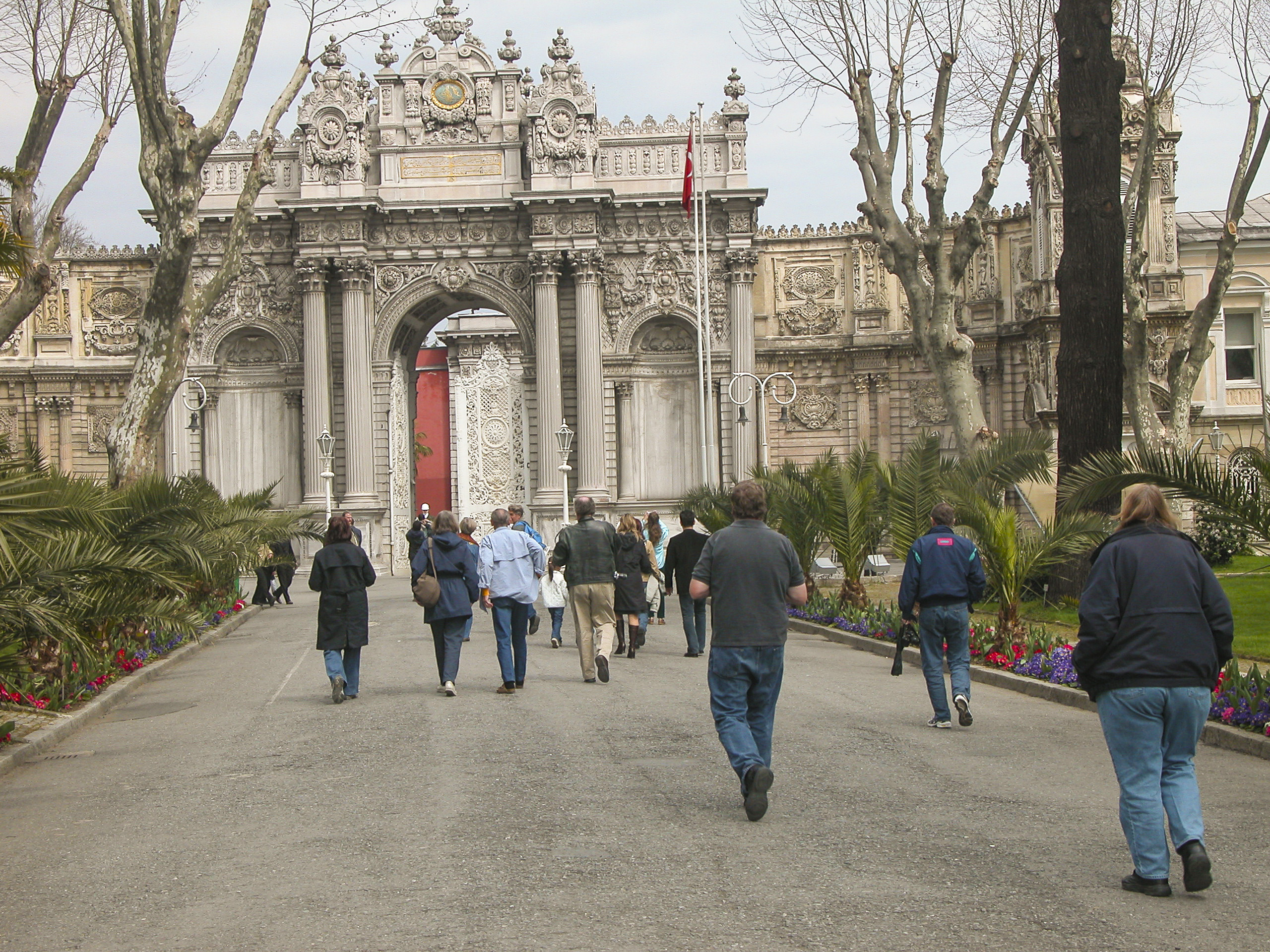
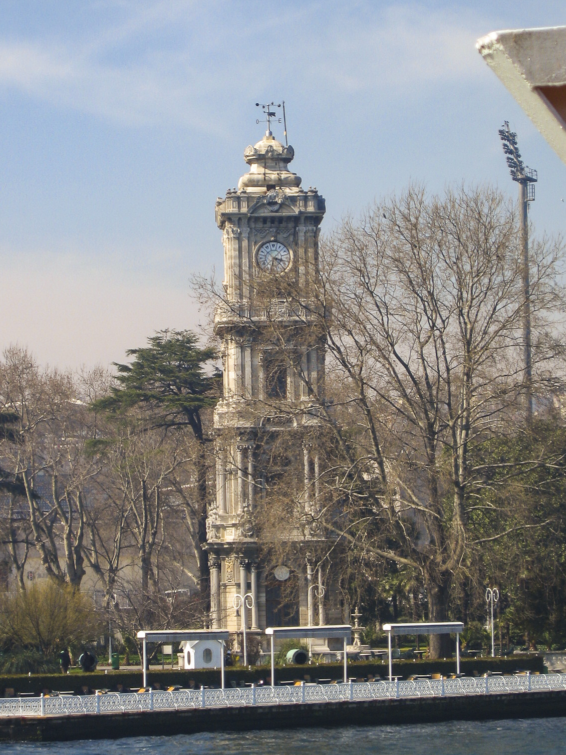
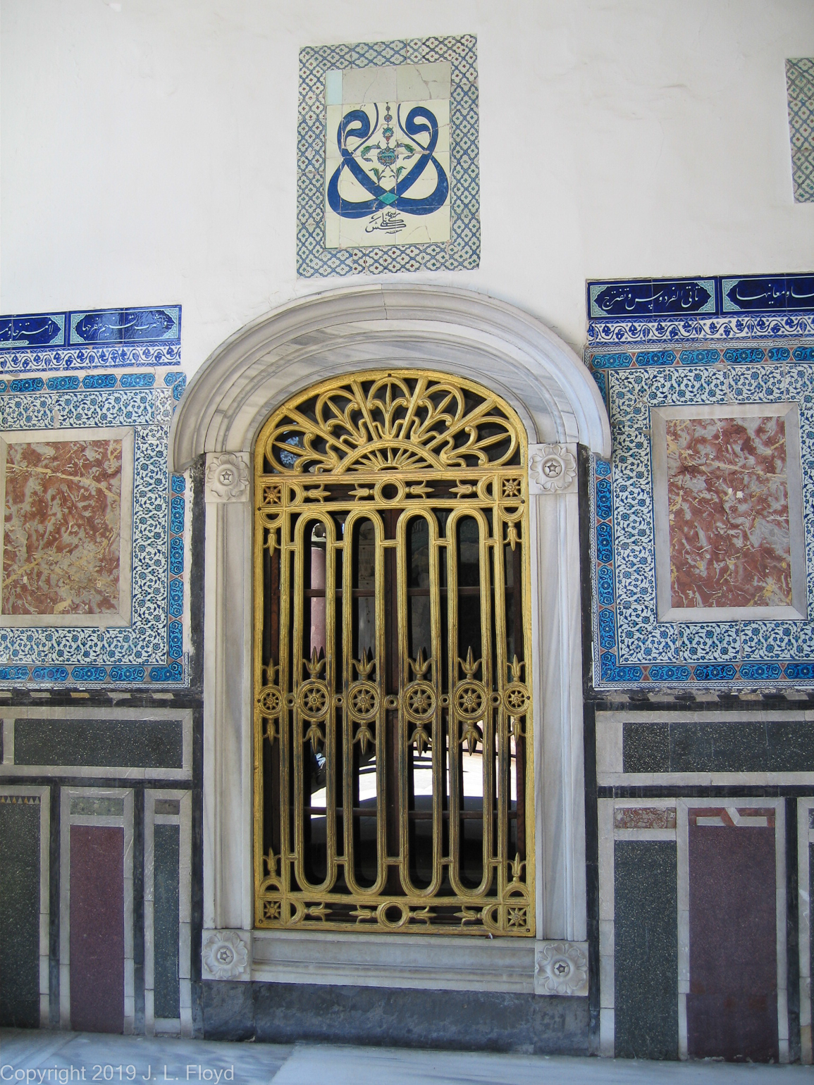
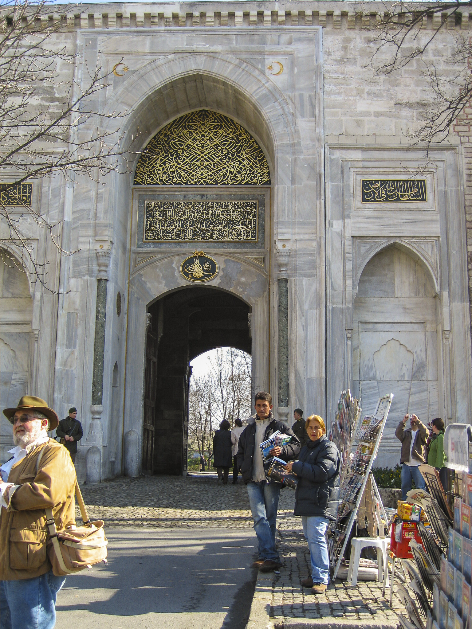
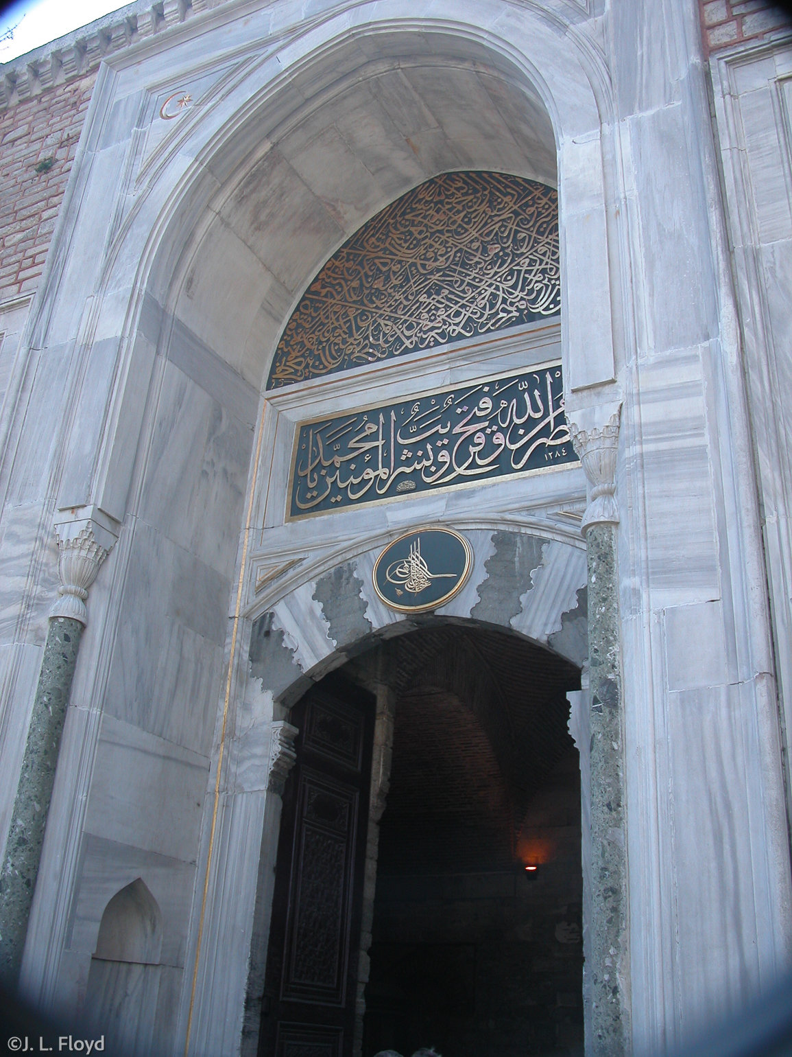
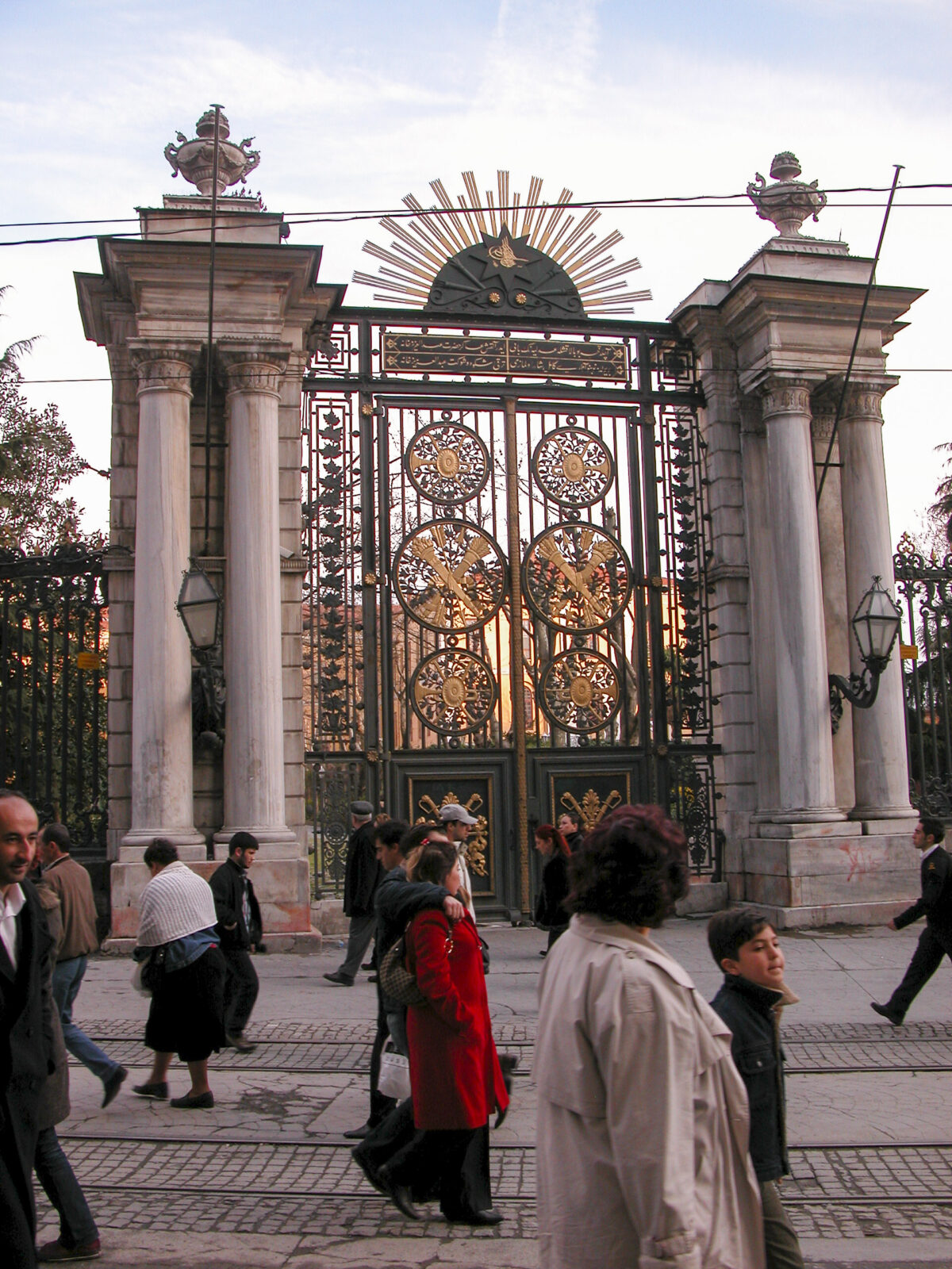
These days, of course, women are not excluded from the Selamlık. Both male and female tourists must enter the Dolmabahçe Palace via the Sultan’s Gate, which lies east of the Clock Tower. Concubines go in through the harem gate on the north side.
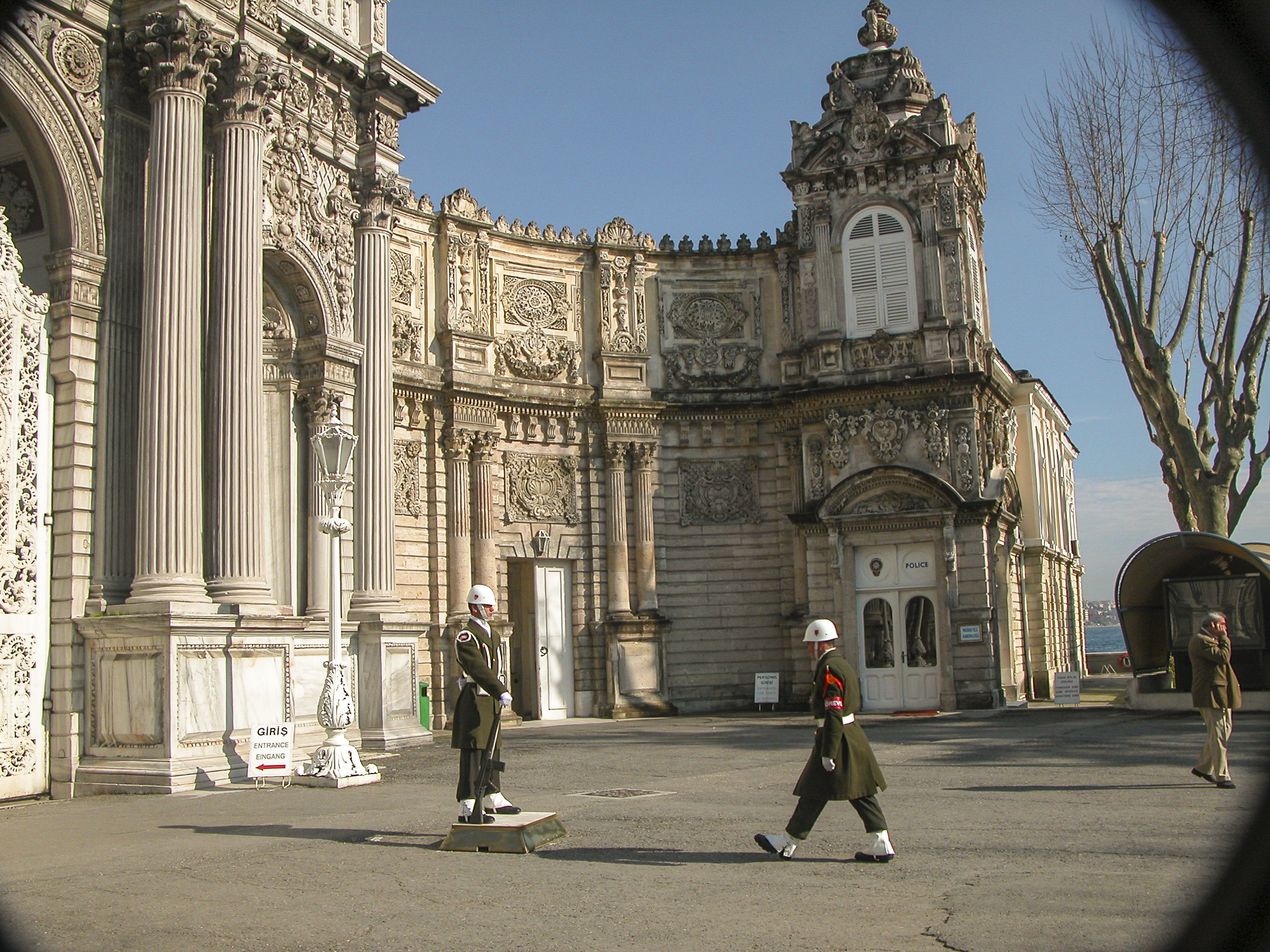
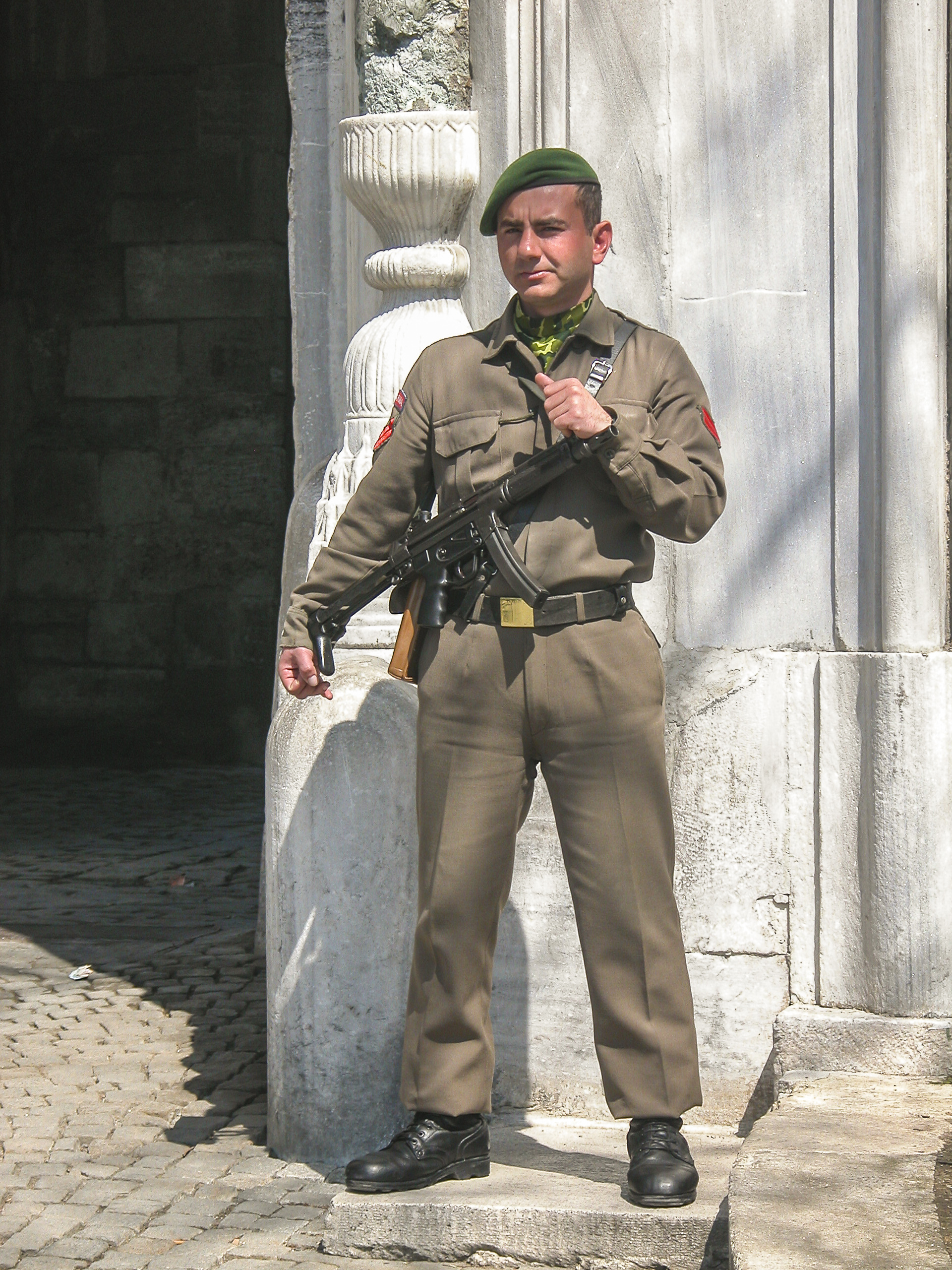
The guard at the Sultan’s Gate, in his spotless dress uniform, stood perfectly immobile, rigid, unmoving and unblinking. He reminded me of the KGB guards I had seen at Lenin’s Tomb in Moscow, 34 years previously. I thought maybe he was just a cleverly disguised statue…
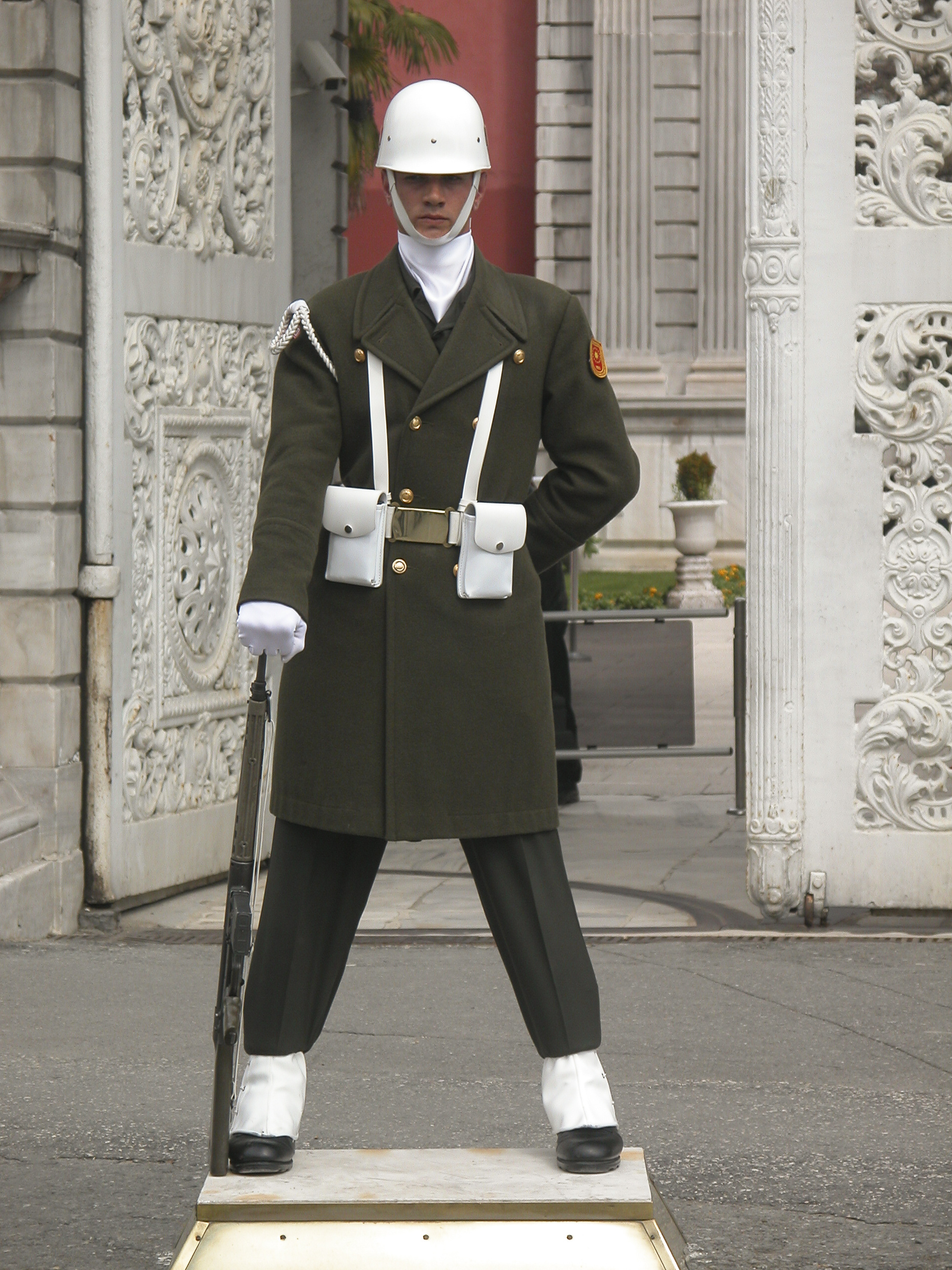
…until the changing of the guard, which happened while we were waiting to enter.
The name Dolmabahçe means something like “filled-in garden” and it seems quite appropriate. Actually, during the 18th century, before the earlier Beşiktaş palace was built, the property was a garden, and it had been created by reclaiming land, Dutch-style, from the sea.
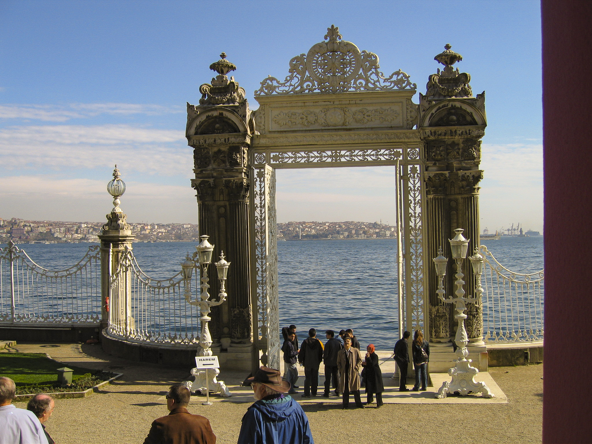
The Bosphorus Gate was built to accommodate persons arriving and departing by water.
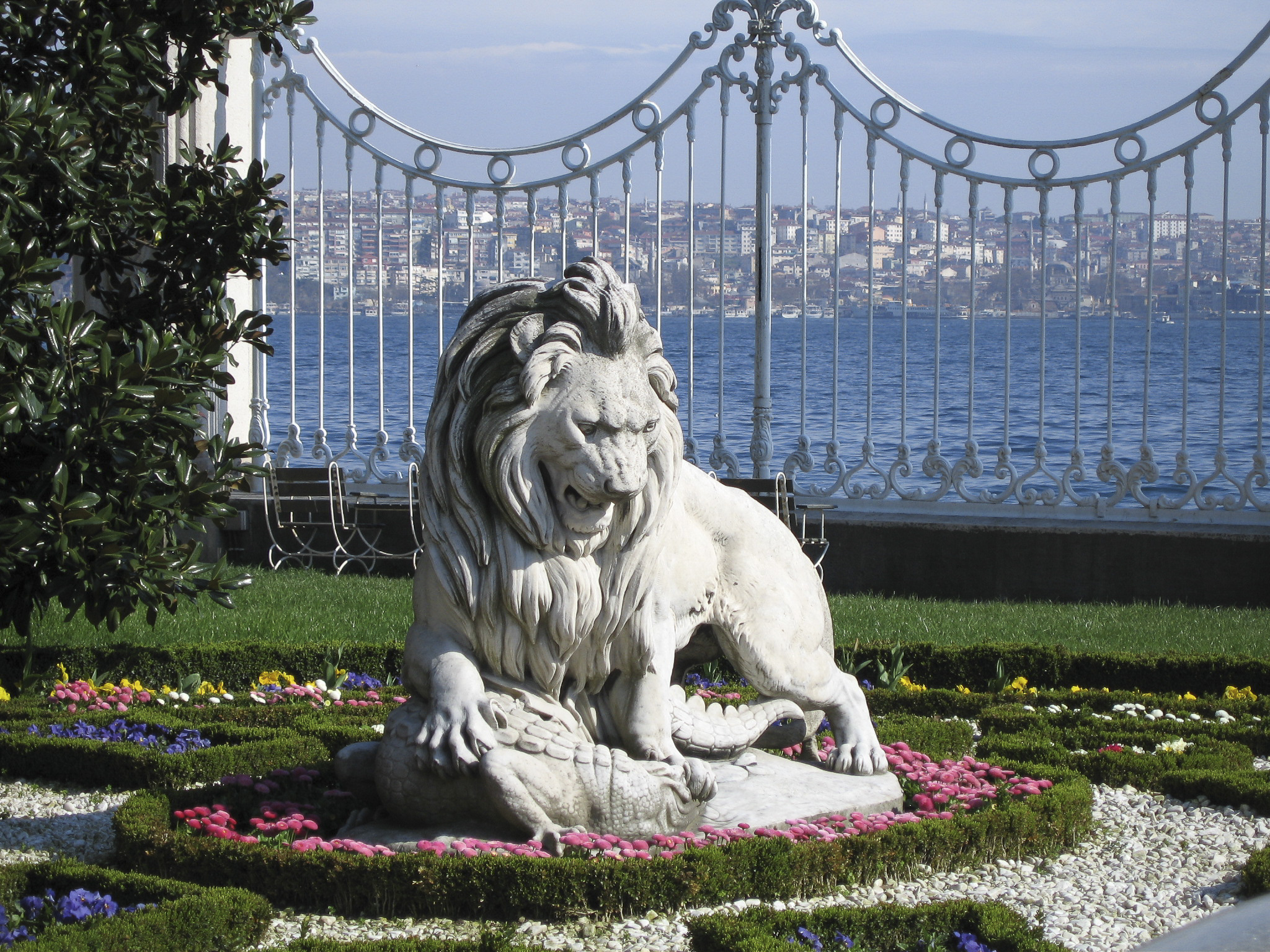
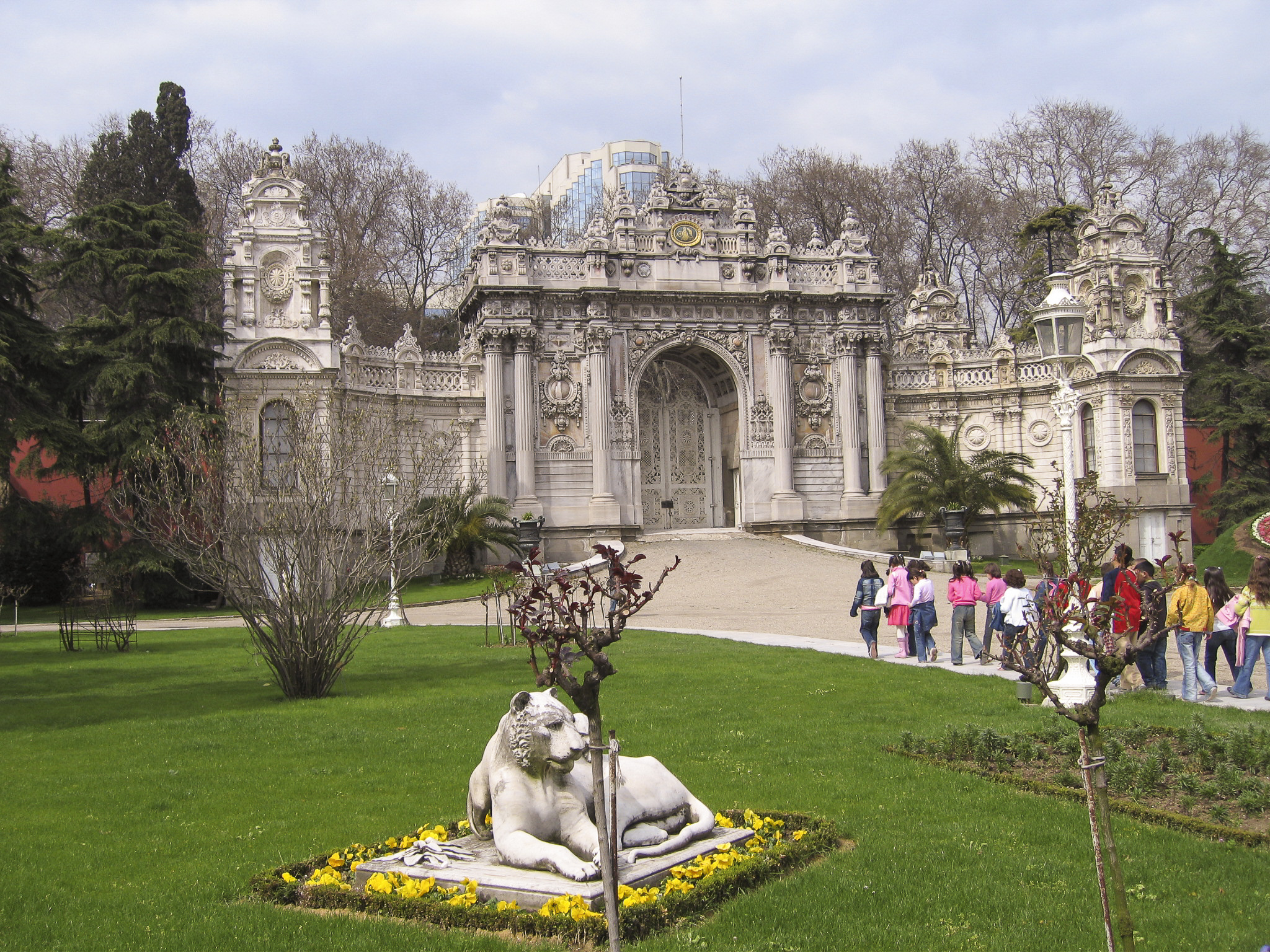
Lions are generally a favorite emblem of royalty, and the Ottomans were no exception. But I wasn’t sure what species of prey this lion near the Bosphorus gate was depicted as trying to rip apart. Was it a dragon or a lizard, or something else?
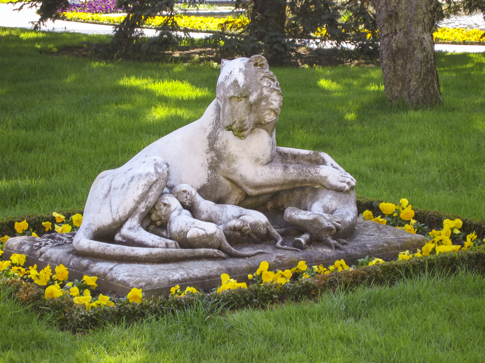
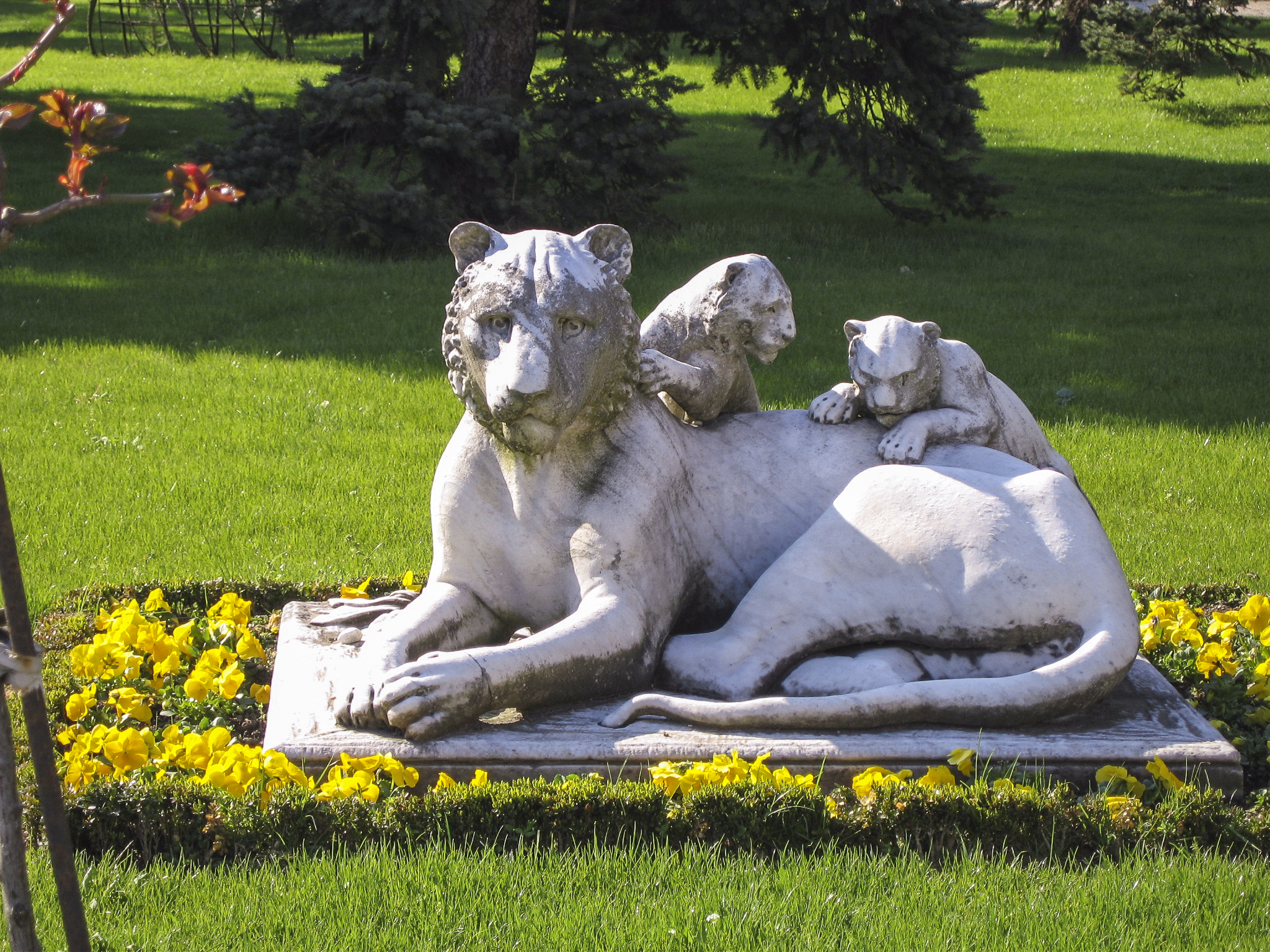
This lioness was just lyin’ here, feeding her cubs.
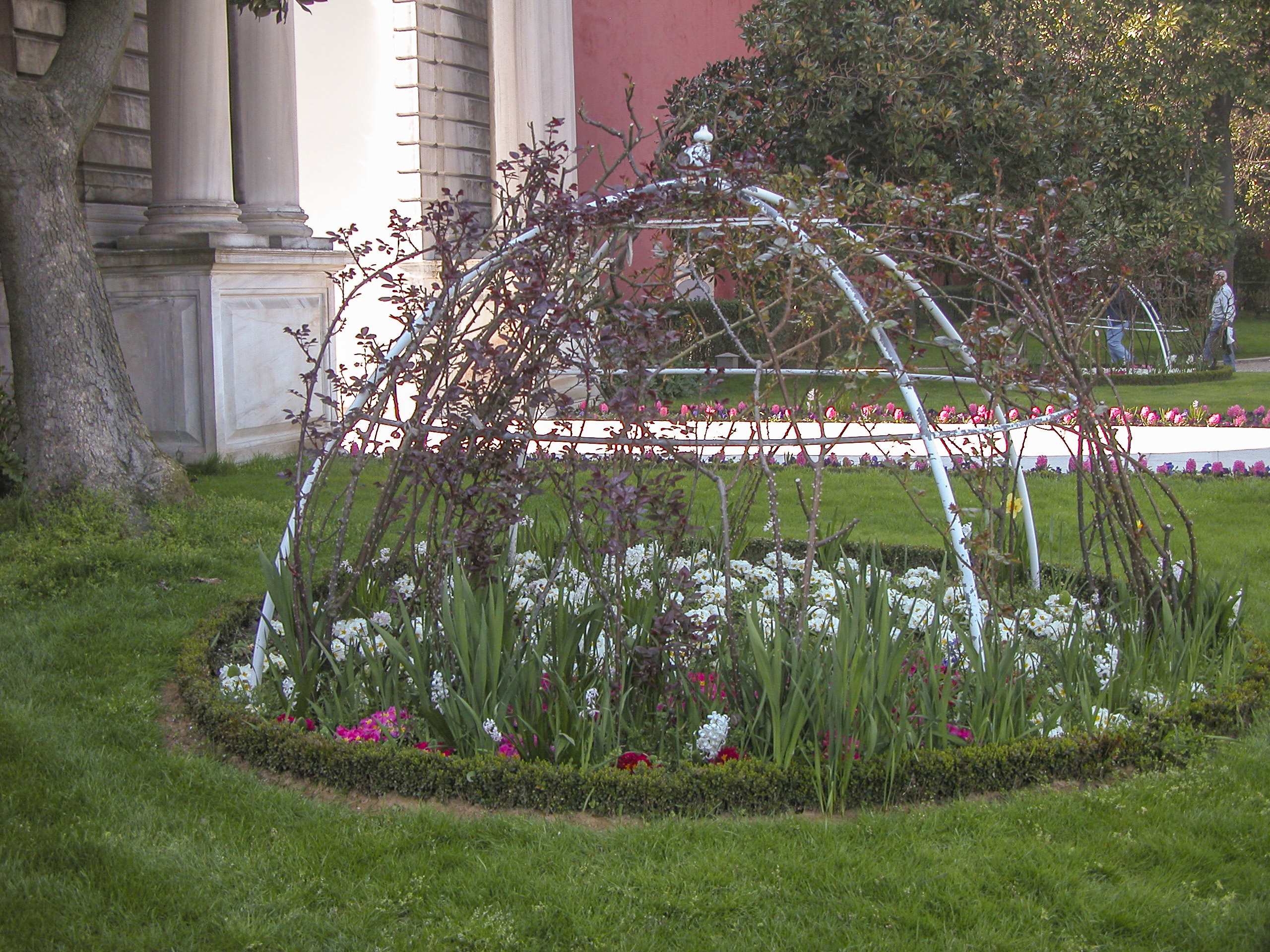
Although it was still very early spring and not everything was in blossom yet, somehow the gardeners had done a great job of making it look almost like May.
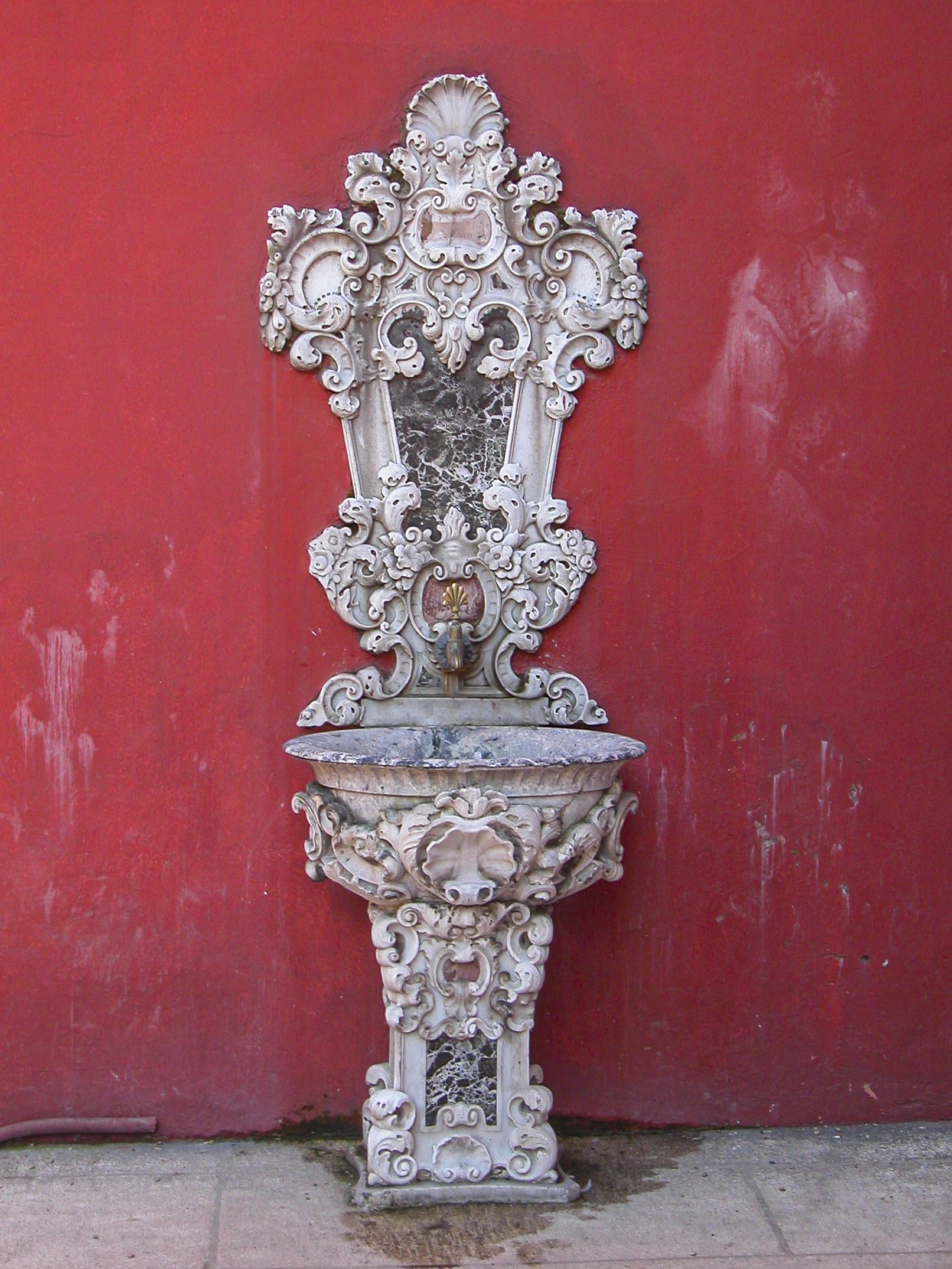
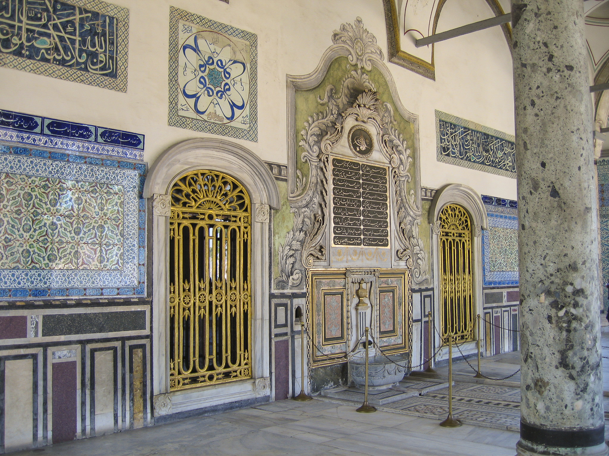
On the side of one of the red walls of the palace gates, I found this elaborate fixture, equipped with a basin to catch the flow from the spigot. Was it intended to serve as a birdbath? There was no placard or sign to illuminate its purpose.
The third major point of access to the Dolmabahçe Palace gardens (the Sultan’s Gate and Bosphorus Gate being the others) is the Treasury Gate, on the north side of the palace grounds; it resembles the Sultan’s Gate but is smaller and symmetrical on either side – the curved wings form an “X”. It is normally kept closed, so that the public may access the palace grounds only through the Sultan’s Gate.
Sandie shot this photo of the lioness just lyin’ there with her cubs crawling all over her back, looking as if they are plotting some particularly nefarious naughtiness. (Yes, I know I’ve really overused that stupid pun.)
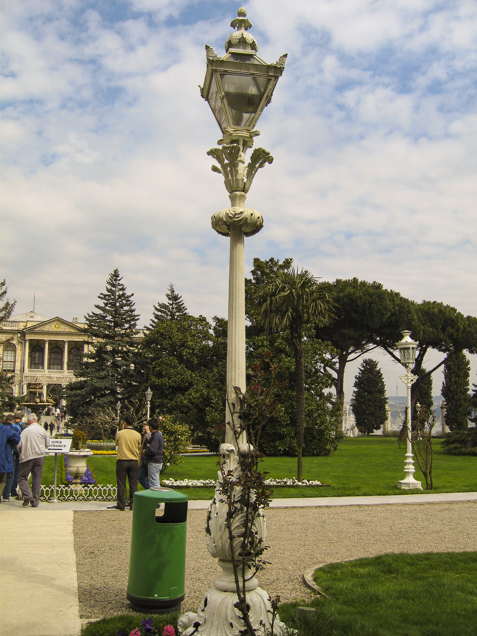
We spied the world’s most elegant lampposts in the gardens of the Dolmabahçe Palace. The Dolmabahçe Palace was among the first in Europe to get gas lighting.
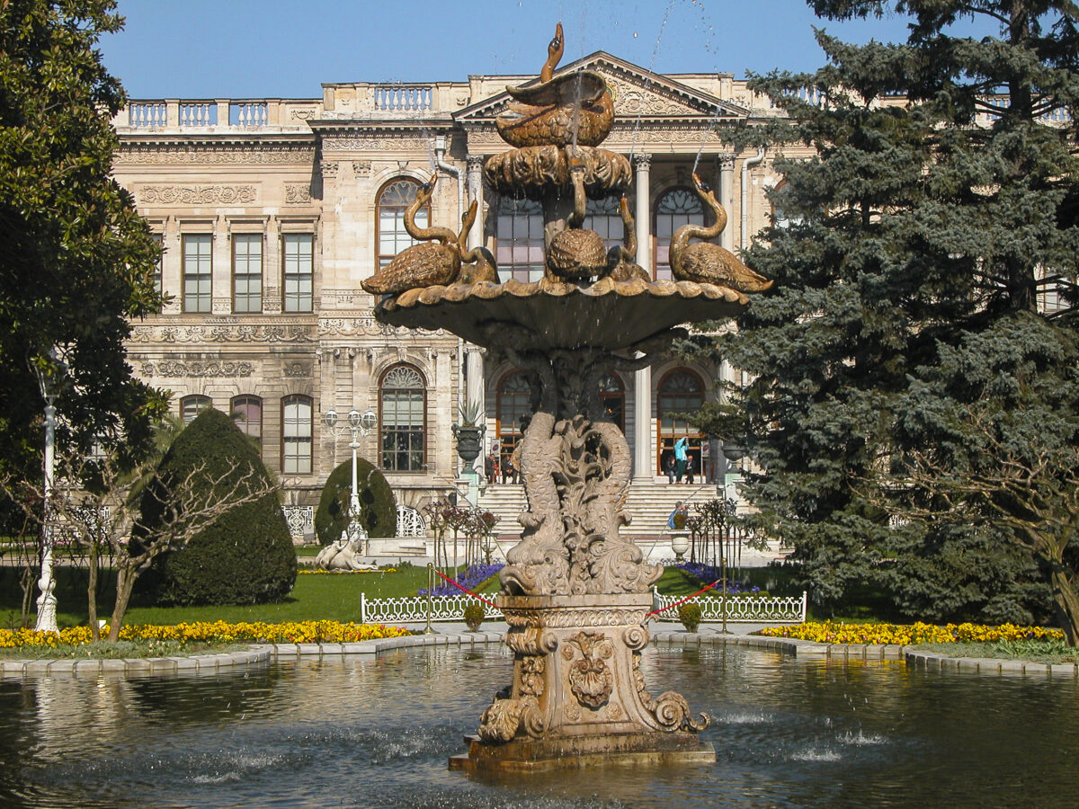
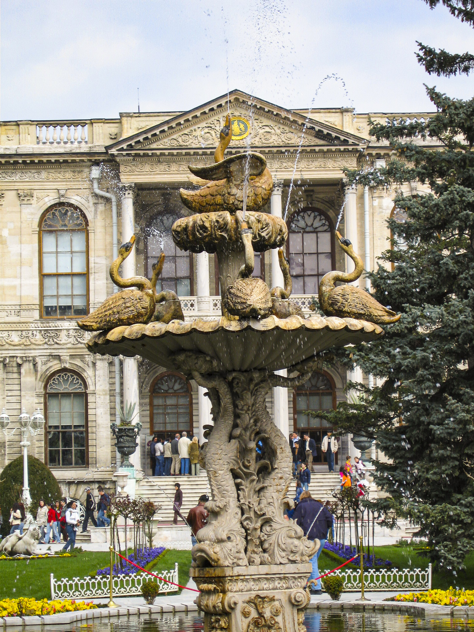
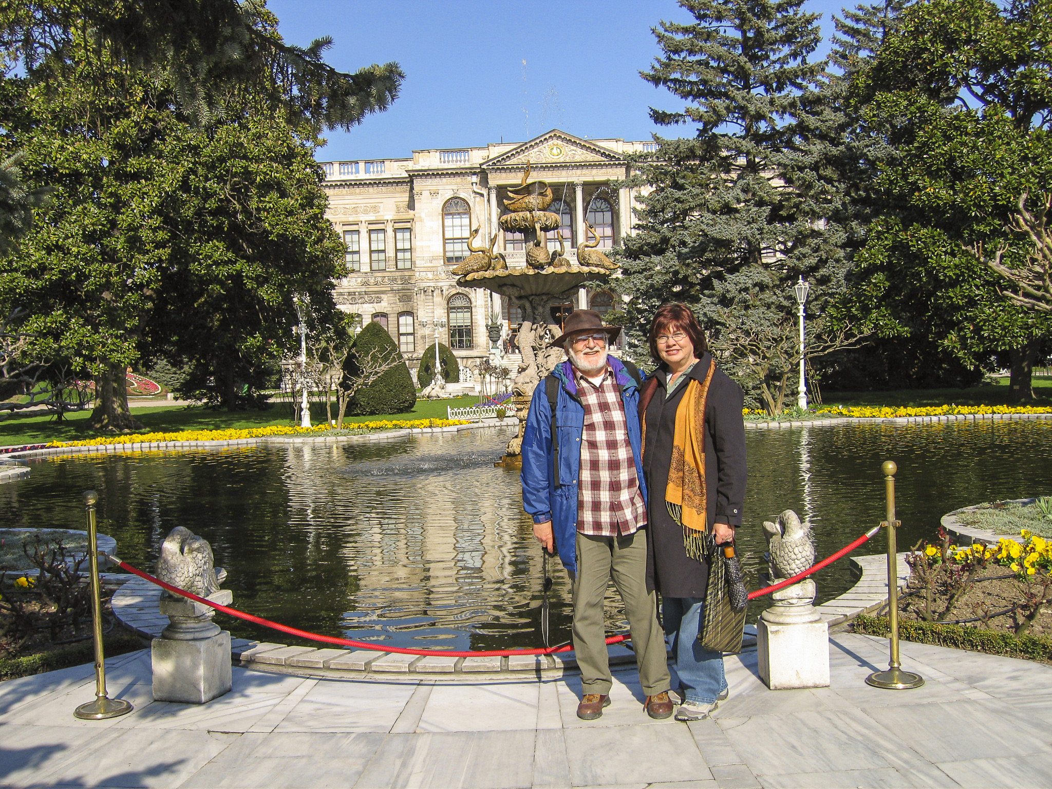
In front of the main entrance to the palace stands the Swan Fountain. I have not been able to find out much about it, but to me it is the iconic memento of the palace.
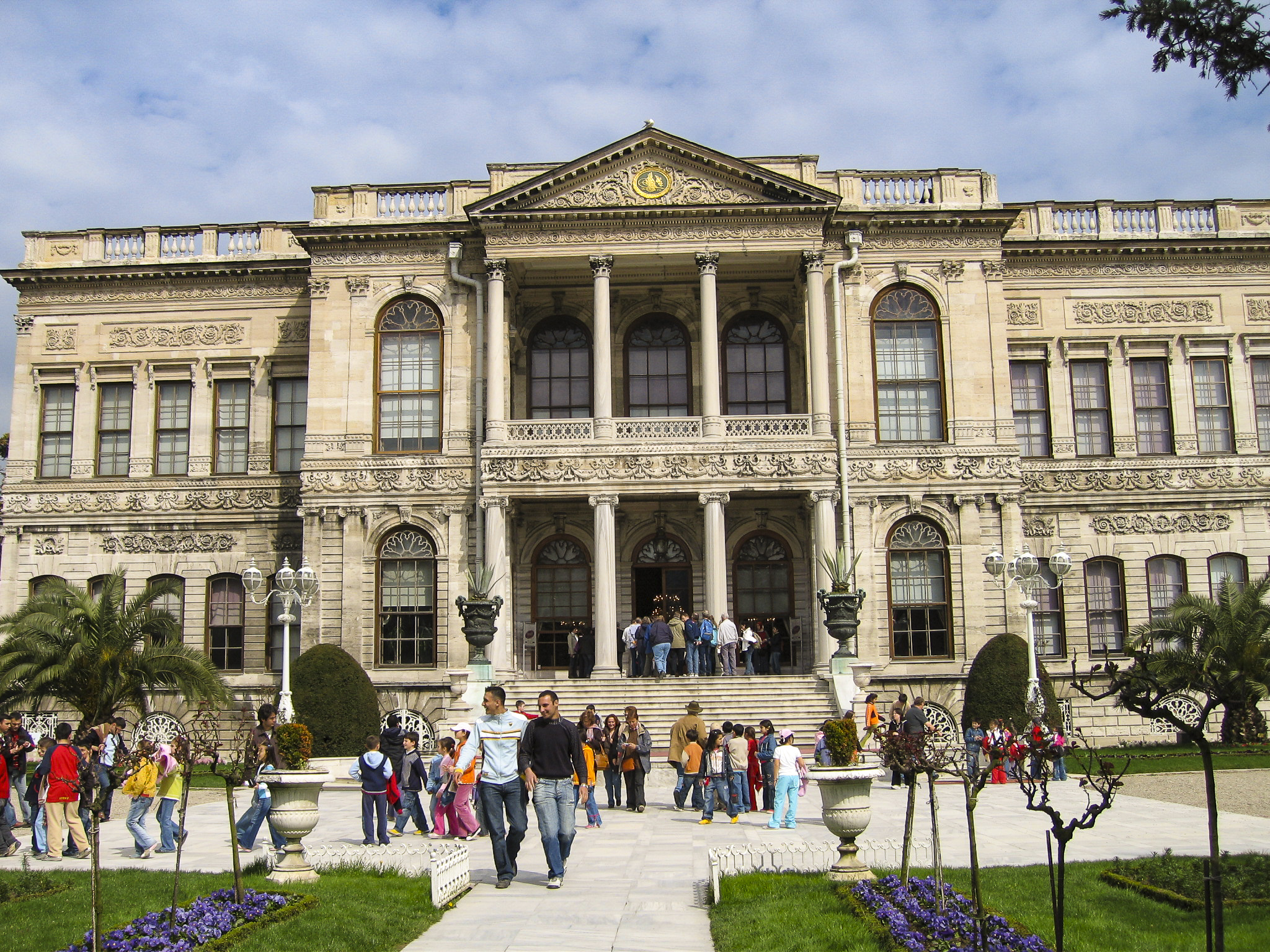
Strictly speaking, it’s not accurate to describe the entrance pictured below as the “main” entrance to the palace, since it provided access only to the Selamlık, the area of the palace usually described as “reserved for men”, whereas the harem had its own “main” entrance, on the north side of the palace building. However, since access to the harem was restricted to the imperial family and its servants, I have chosen to take liberties and describe the entrance to the Selamlık as the main entrance. In any case, it was the entrance we used.
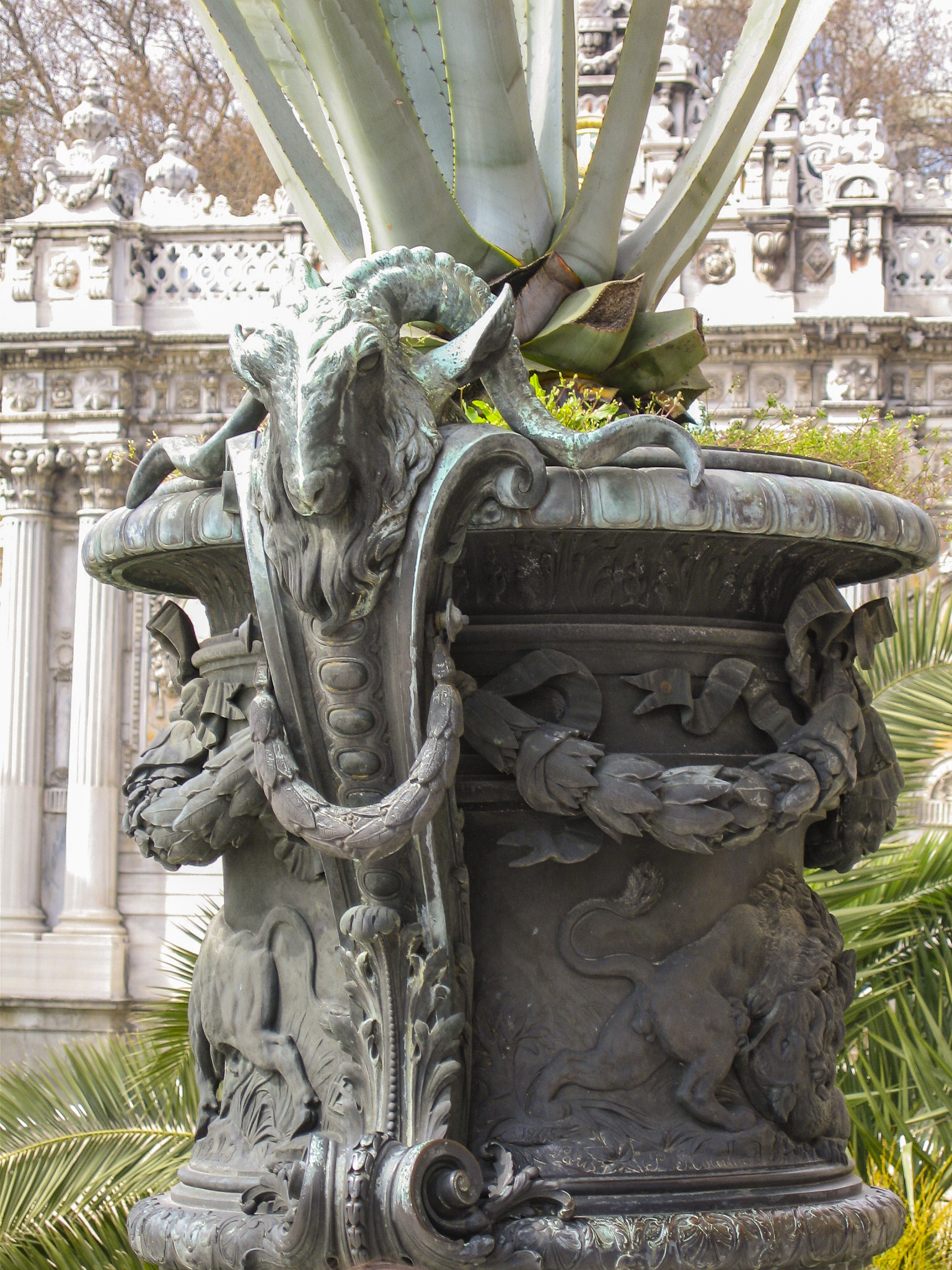
Two impressive urns or flowerpots stood on either side of the palace steps. Not being an art historian, I lack the expertise to describe them properly, but I would say (with tongue in cheek) that the imagery seems to be drawn more from pagan antiquity than Islamic tradition. My guess is that these pieces were the work of contemporary European artists.
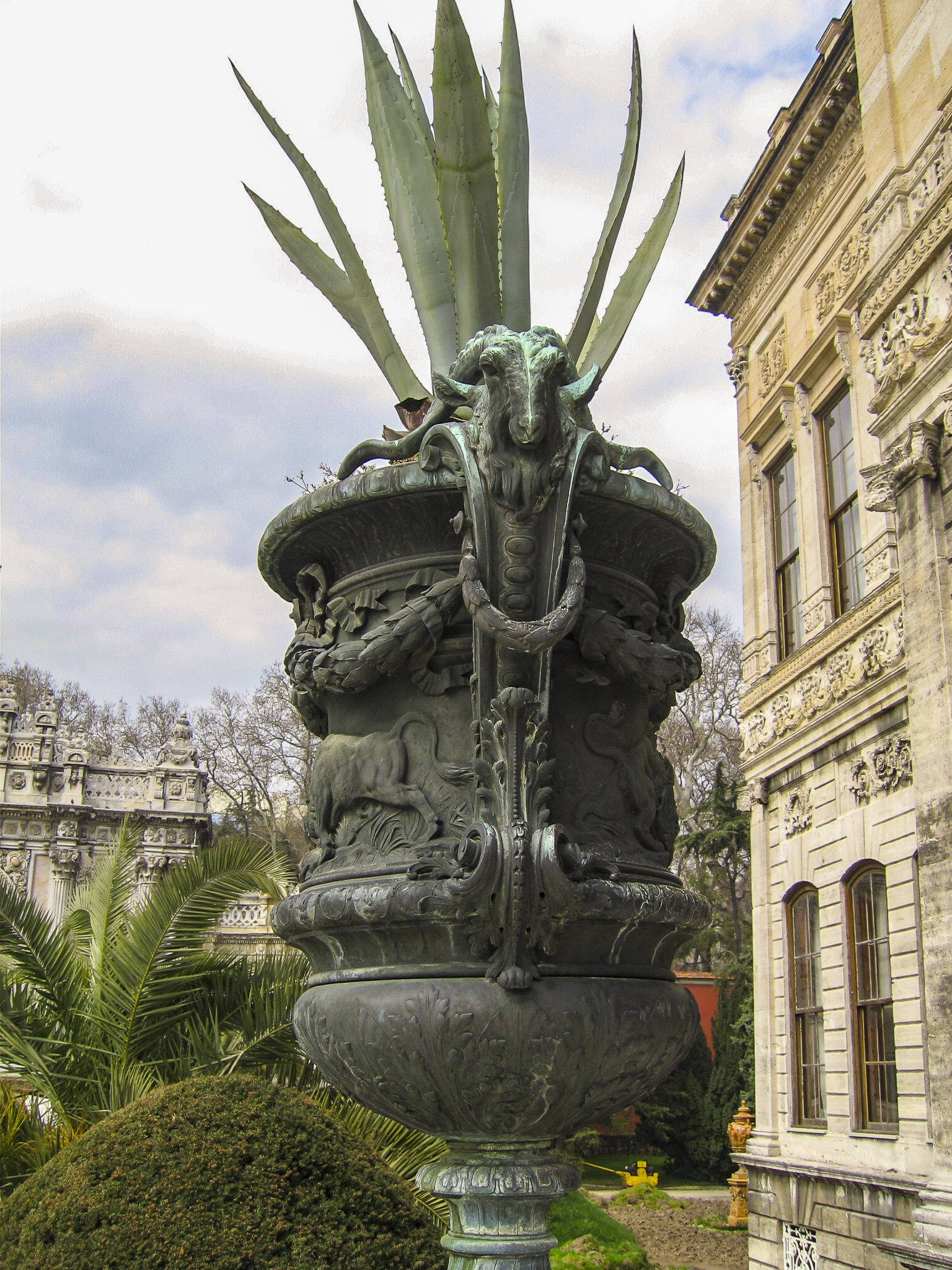
I couldn’t resist a closer shot of the ram-like creature. It’s somewhat reminiscent of the Greek nature deity Pan, but I find it more likely that the artist was just trying to depict some exotic species of goat, either real or imagined.
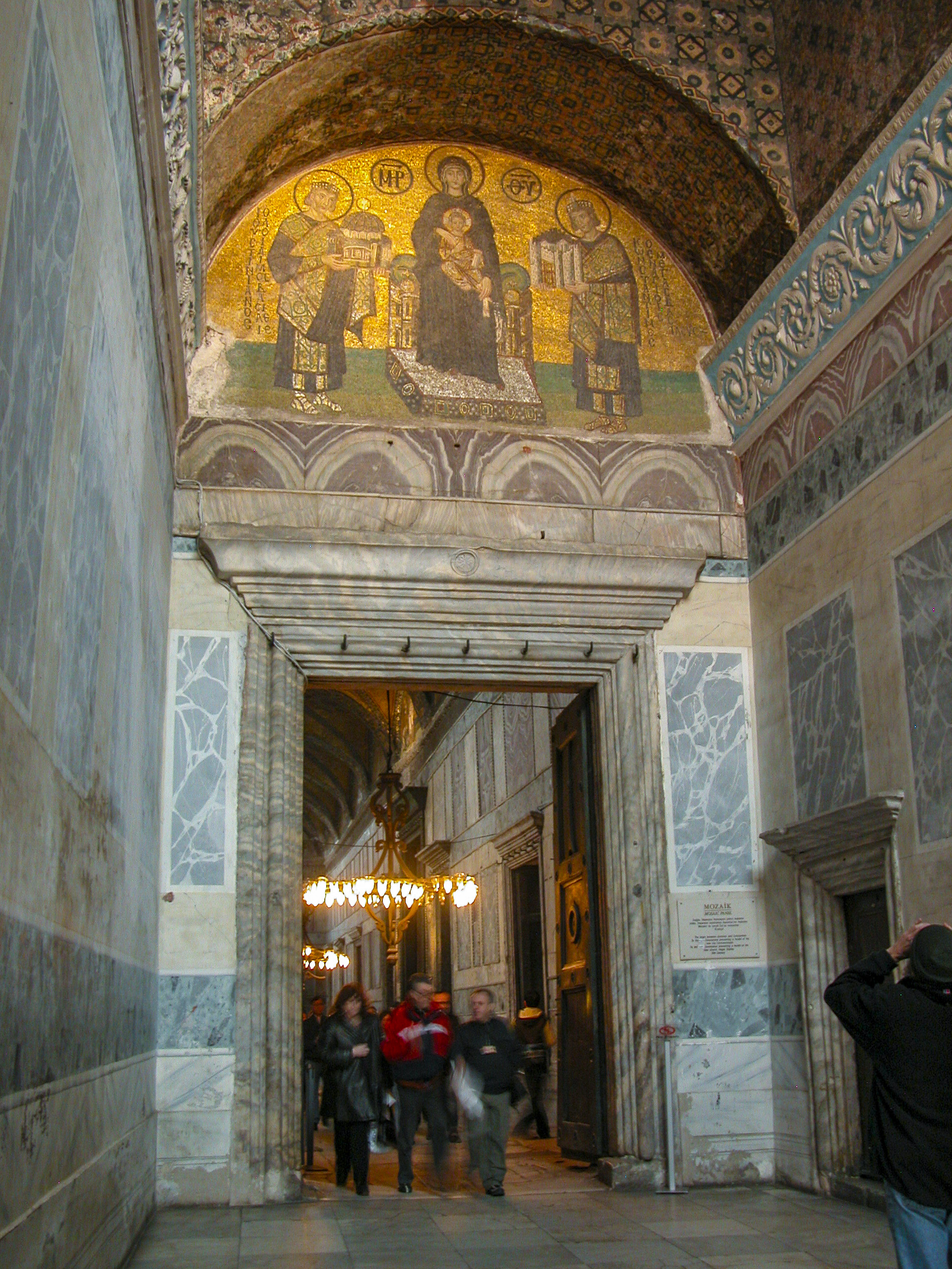
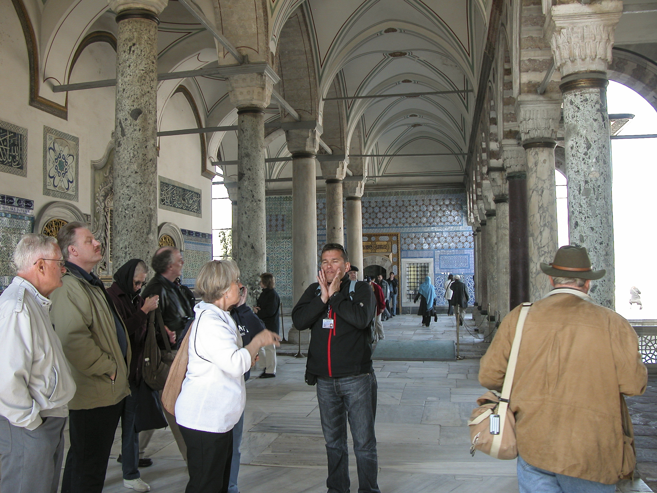
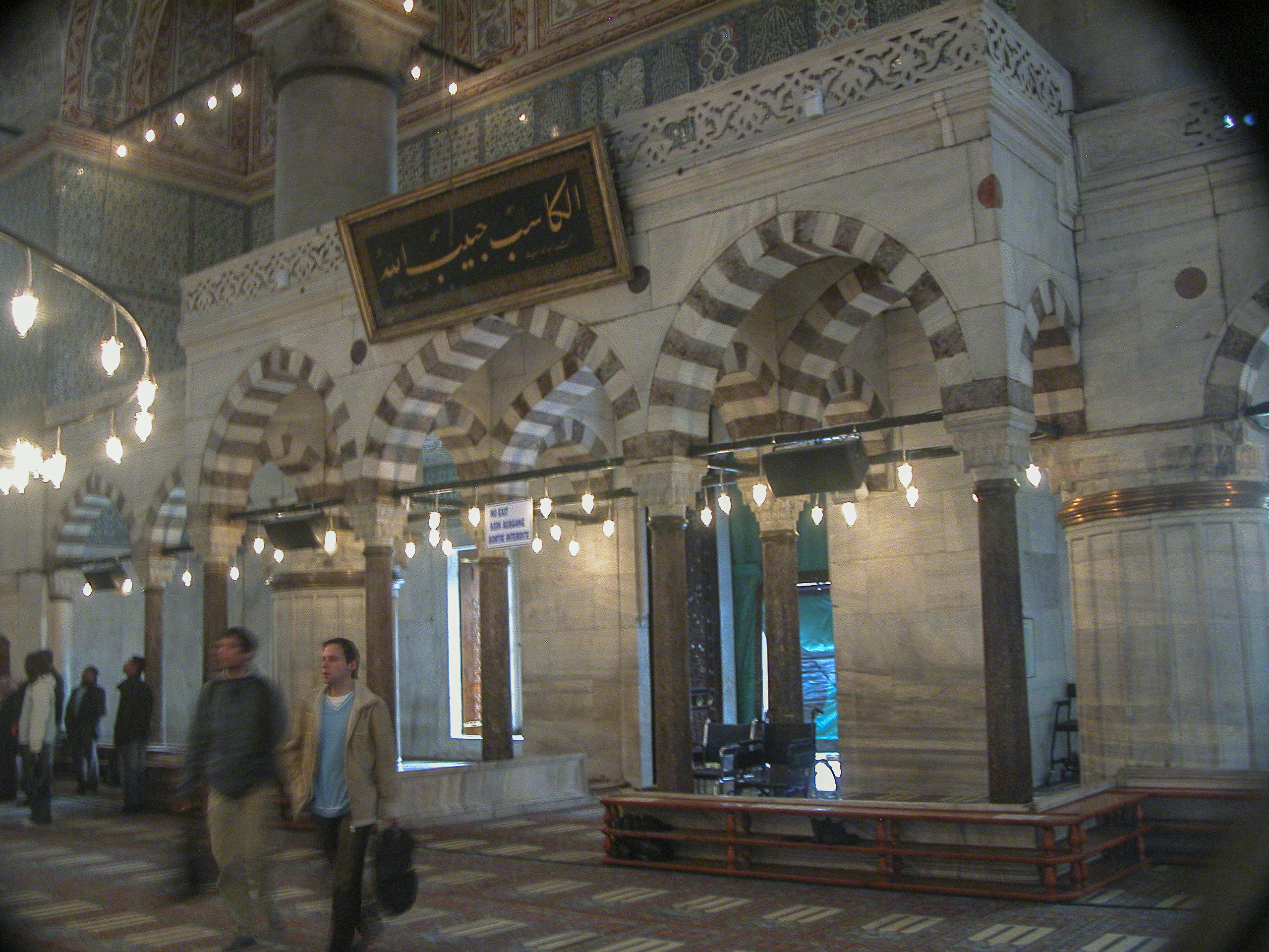
Shortly we found ourselves in the Medhal, the main lobby of the Selamlık. In Ottoman times, guests of the Sultan would wait here to be escorted to their destination by a palace protocol officer.
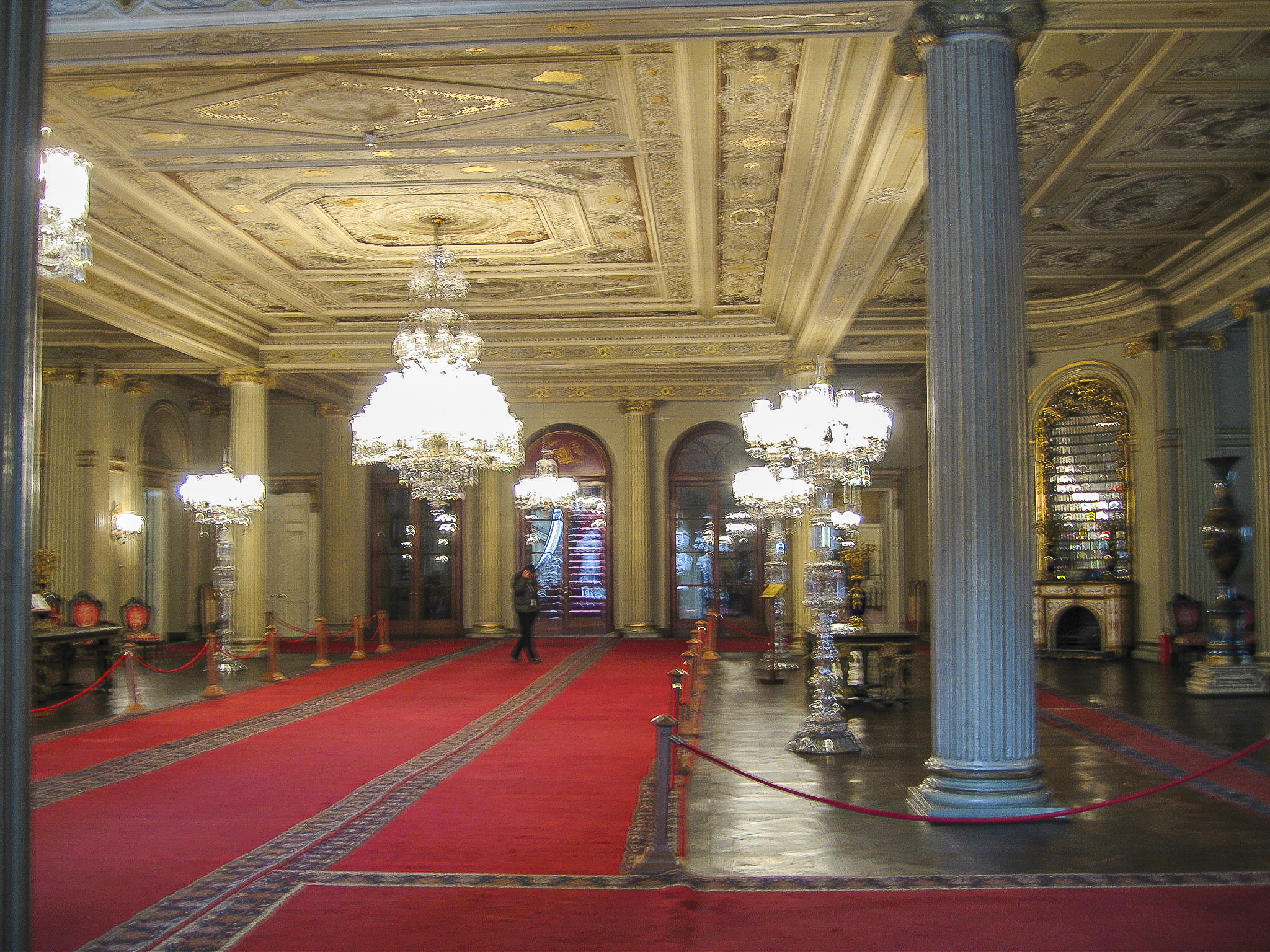
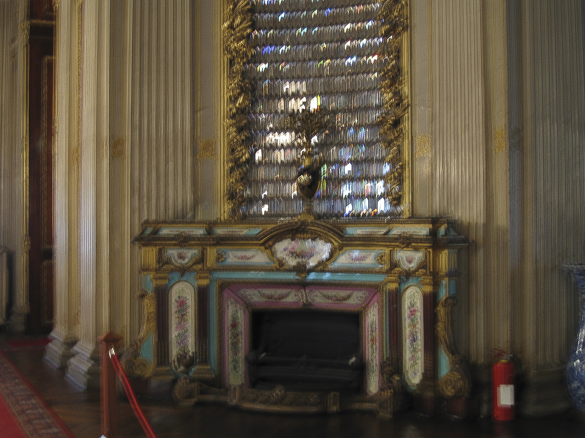
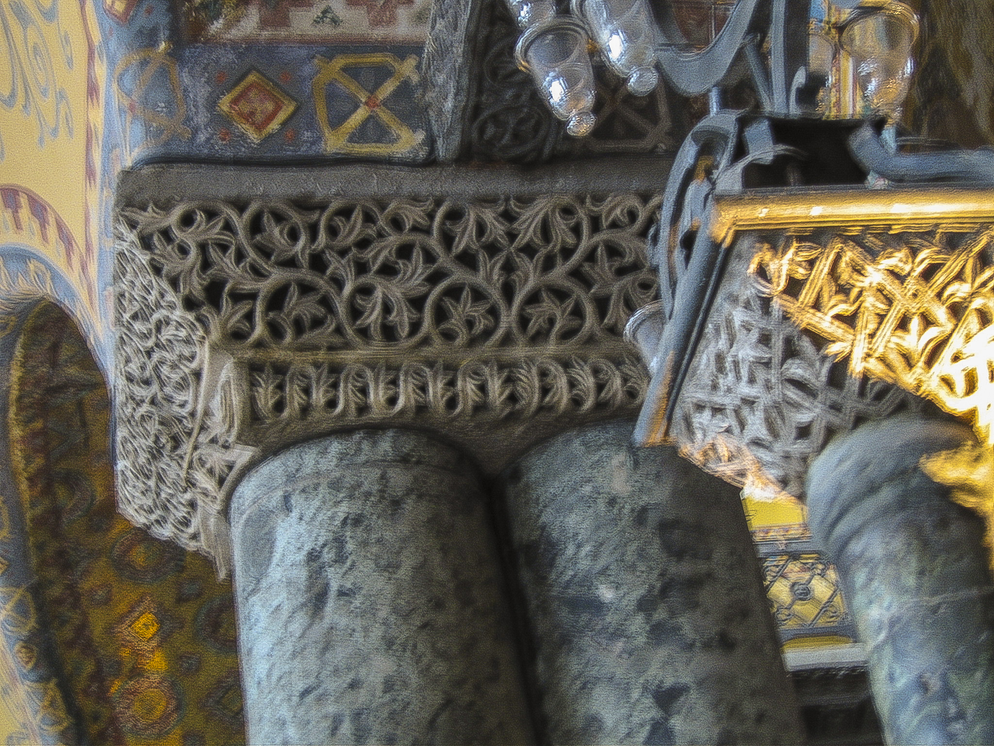
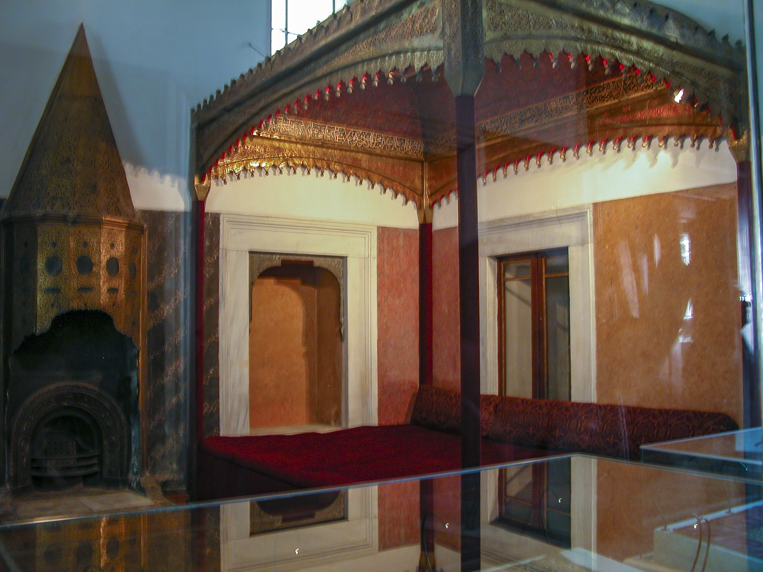
The fireplaces in the Dolmabahçe Palace turned out to be very different from the conical fireplaces of the Topkapı Palace, and rather more elaborate. I don’t know whether they kept the rooms any warmer, but they were certainly colorful. This one was in the Medhal, and can be seen in the last photo above, next to the column on the right.
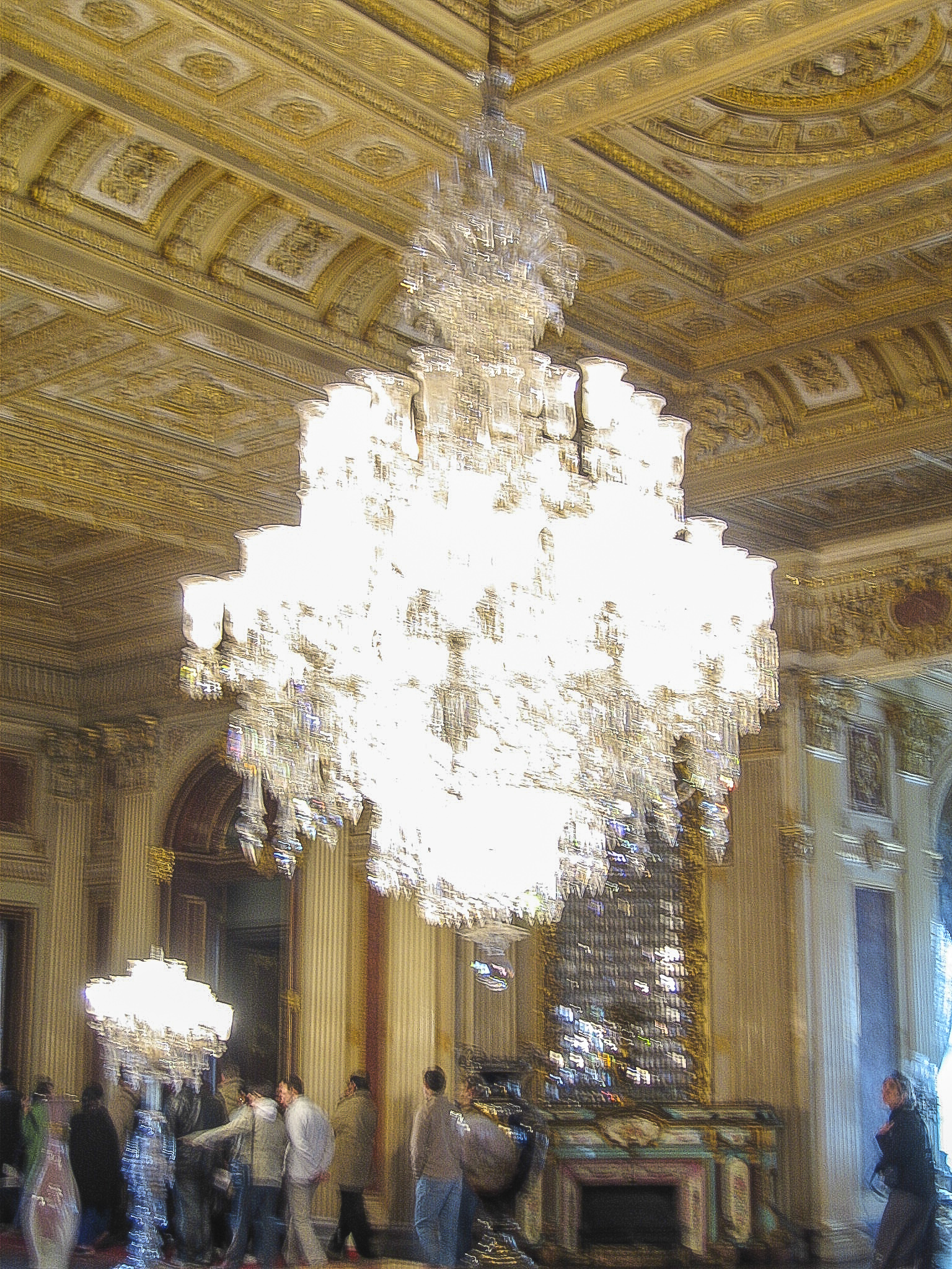
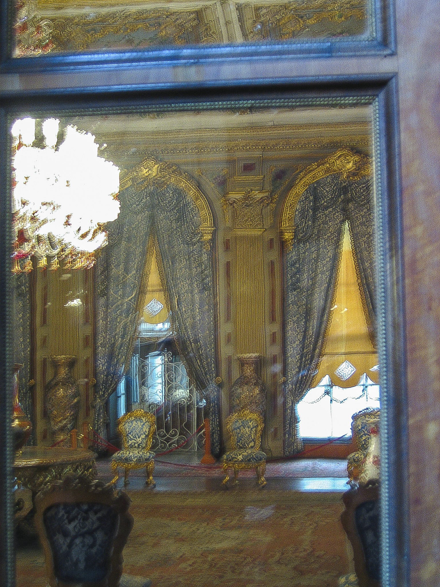
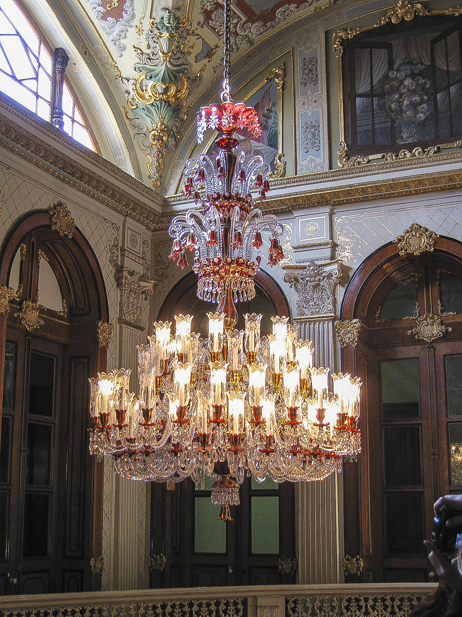
Every room in the palace seemed to have at least one incredibly elaborate and expensive Bohemian glass chandelier. Some, like the Medhal, had more than one. I’d hate to have to pay the electric bill.
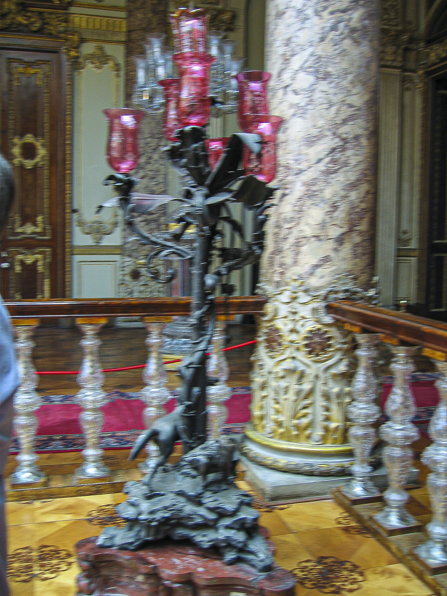
Chandeliers are ubiquitous throughout the Dolmabahçe Palace. This was the one over the Crystal Staircase (see following picture for more on the staircase).
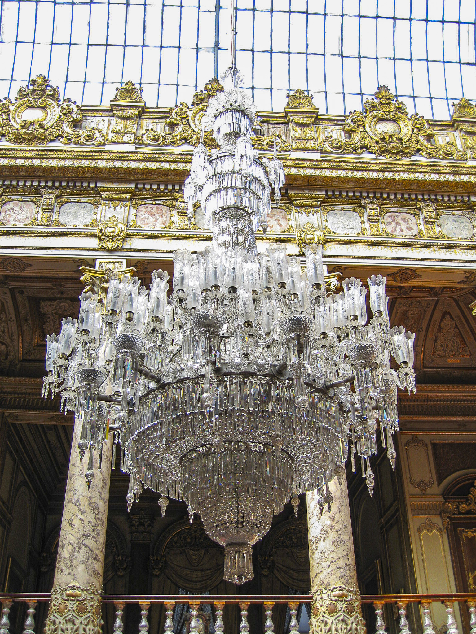
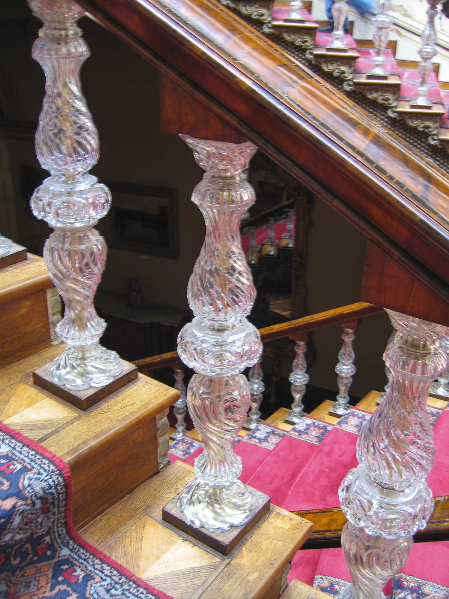
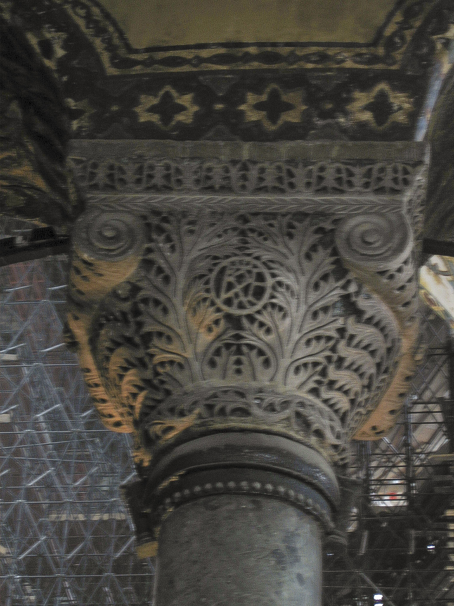
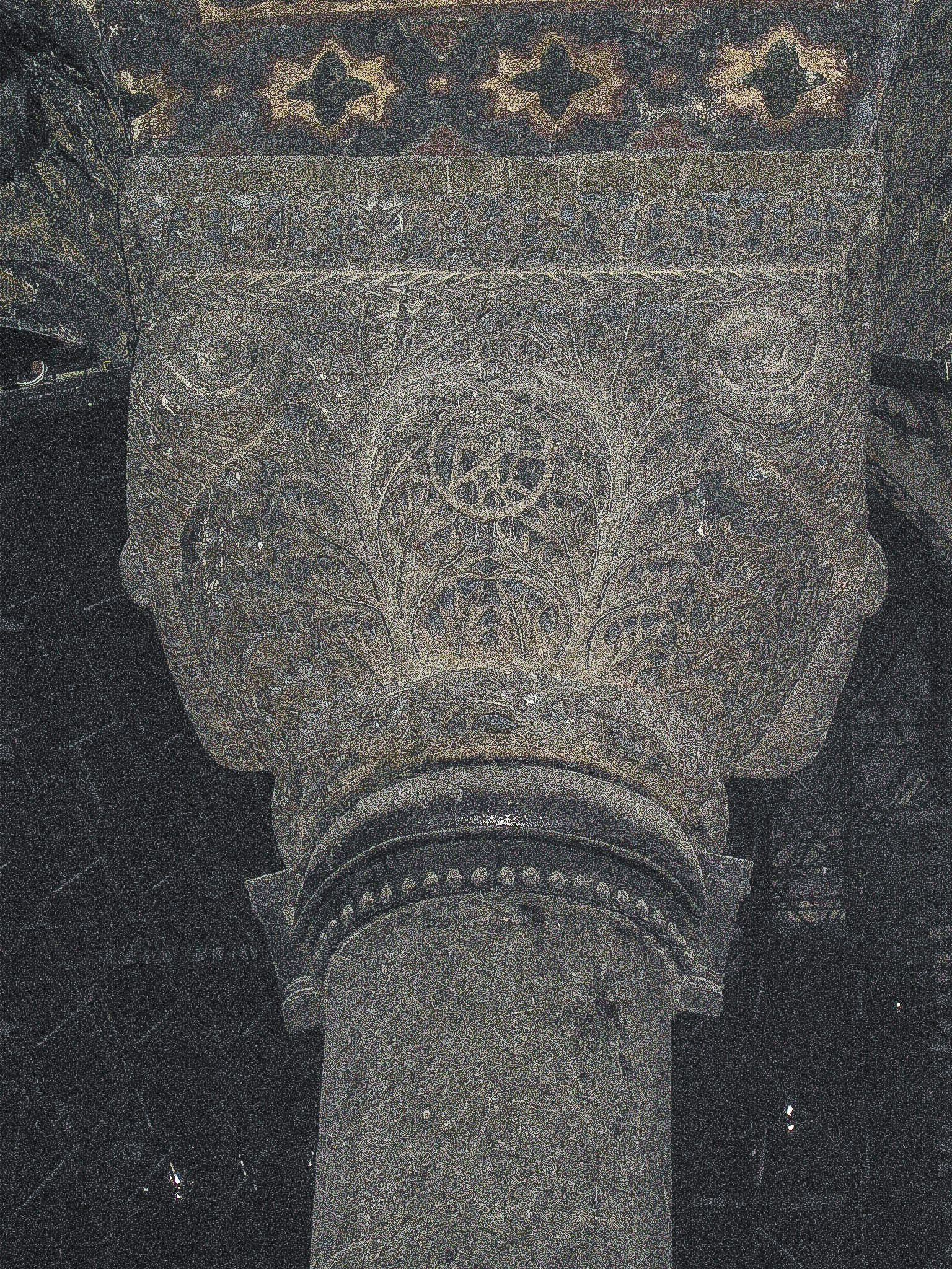
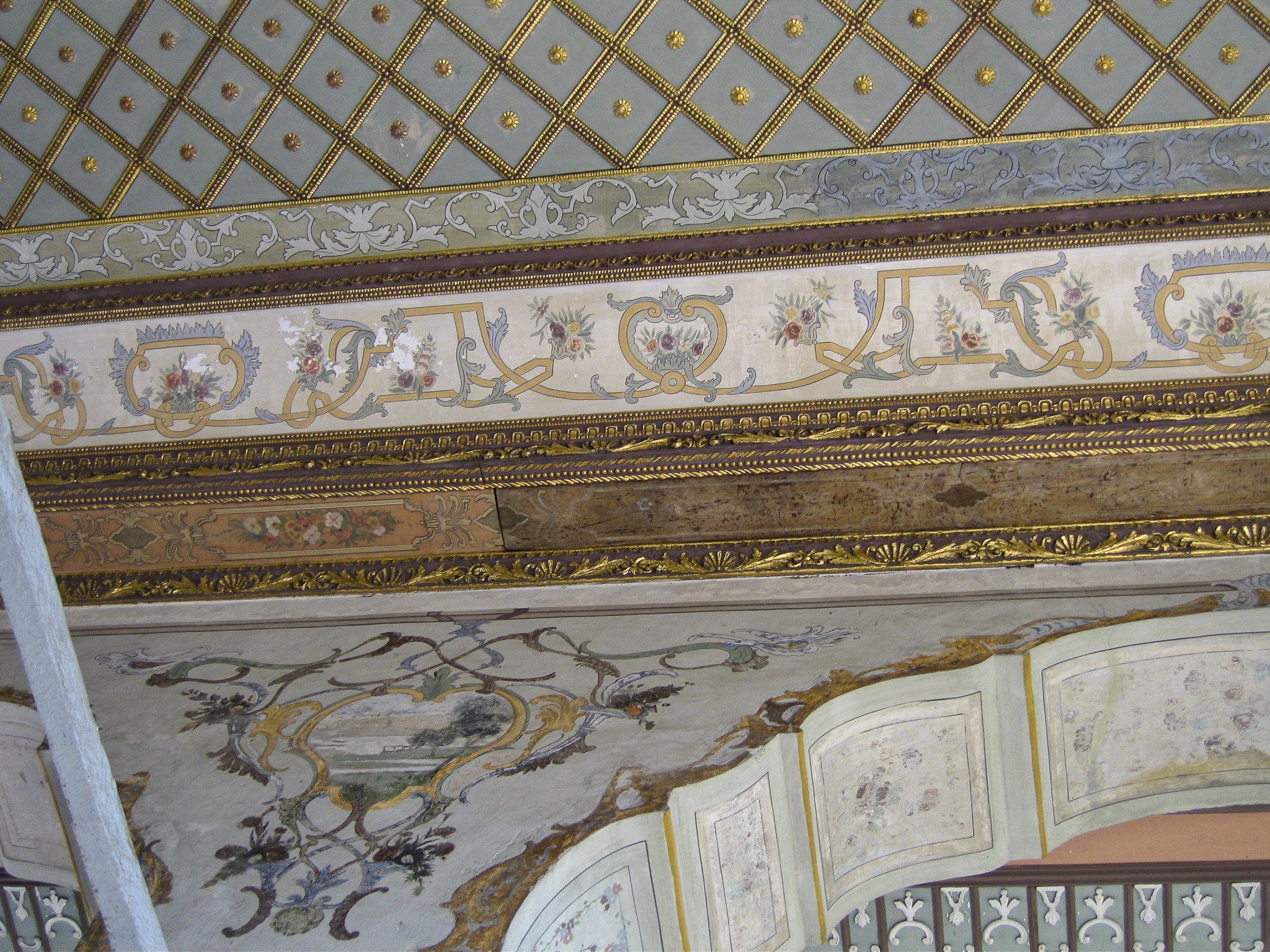
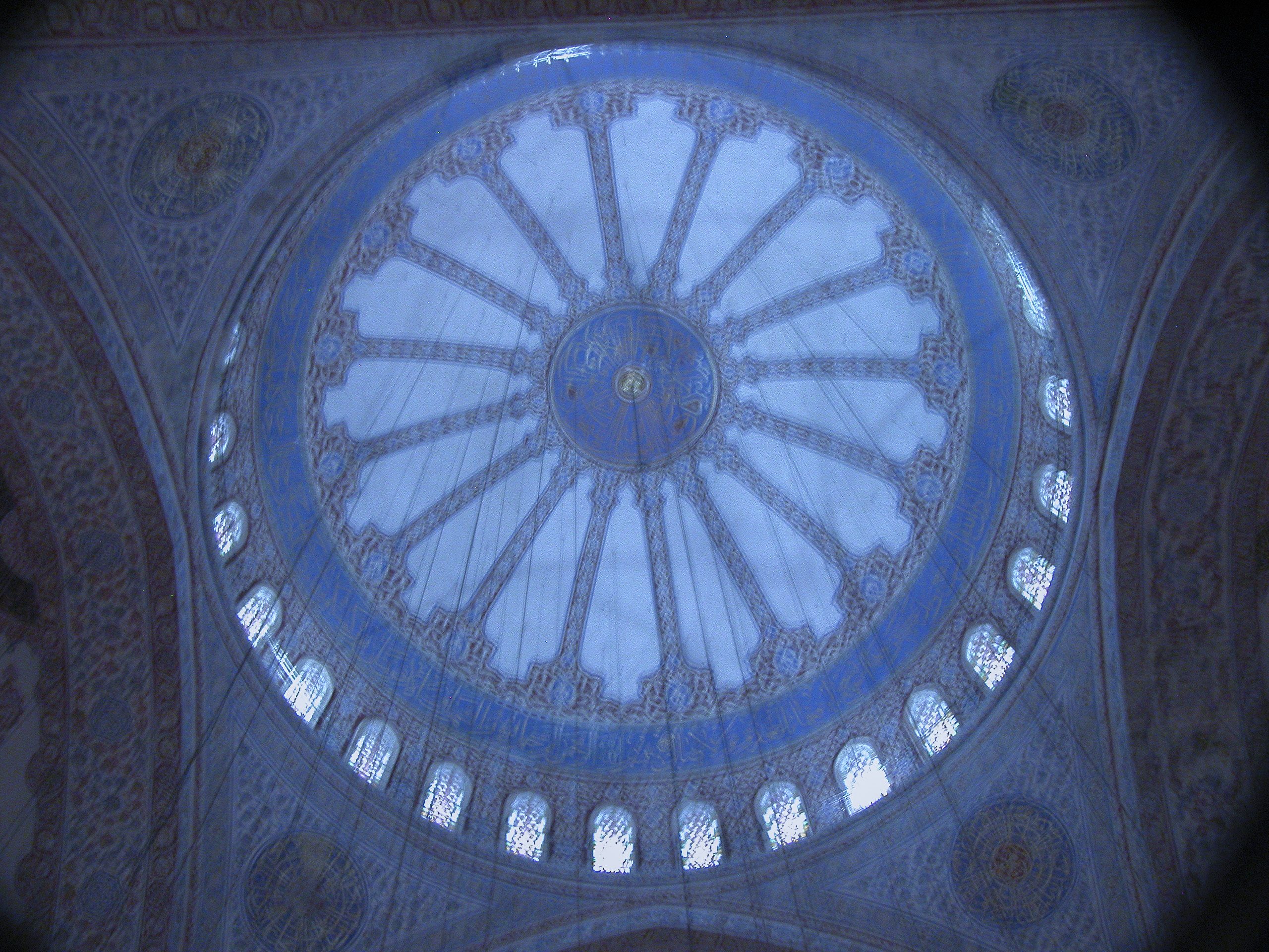
Whereas Iznik tile and Ottoman carving dominates the Topkapı Palace, the Dolmabahçe Palace trends more to gold and crystal. The famous Crystal Staircase is a case in point, not to mention the chandeliers.
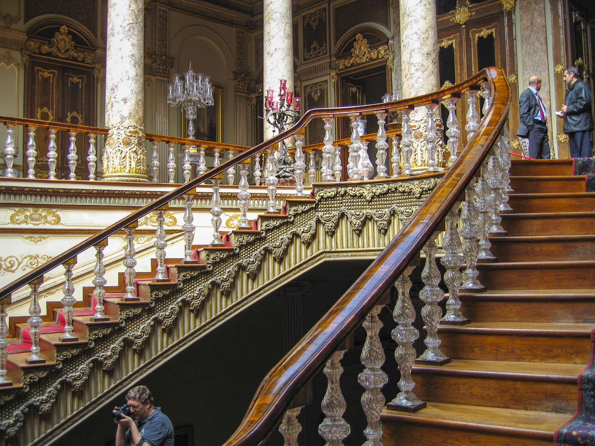
The bannisters of the Crystal Staircase are made of mahogany, the supports of Baccarat Crystal. Baccarat crystal is made by a privately-owned French company founded in 1764; Bohemian crystal is made in, duh, Bohemia, part of the Czech Republic.
At the top of the Crystal Staircase (you can see it in a previous photo) stands this amazing Art Nouveau-style lamp, looking as if it came right from the workshops of Louis Comfort Tiffany. Unfortunately we weren’t able to find out anything about its provenance then or later.
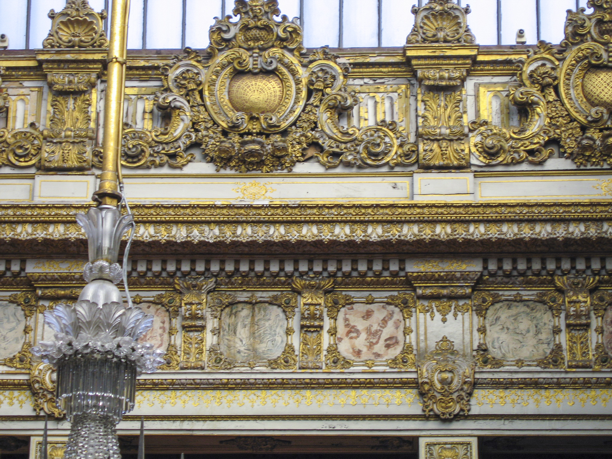
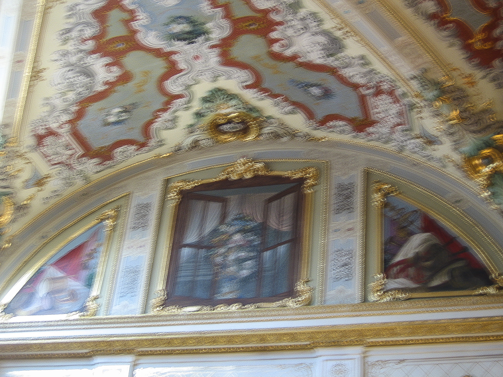
Did I mention gold? 14 metric tons of gold were used to gild the palace ceilings. No wonder the Ottoman Empire went bankrupt in the 19th century.
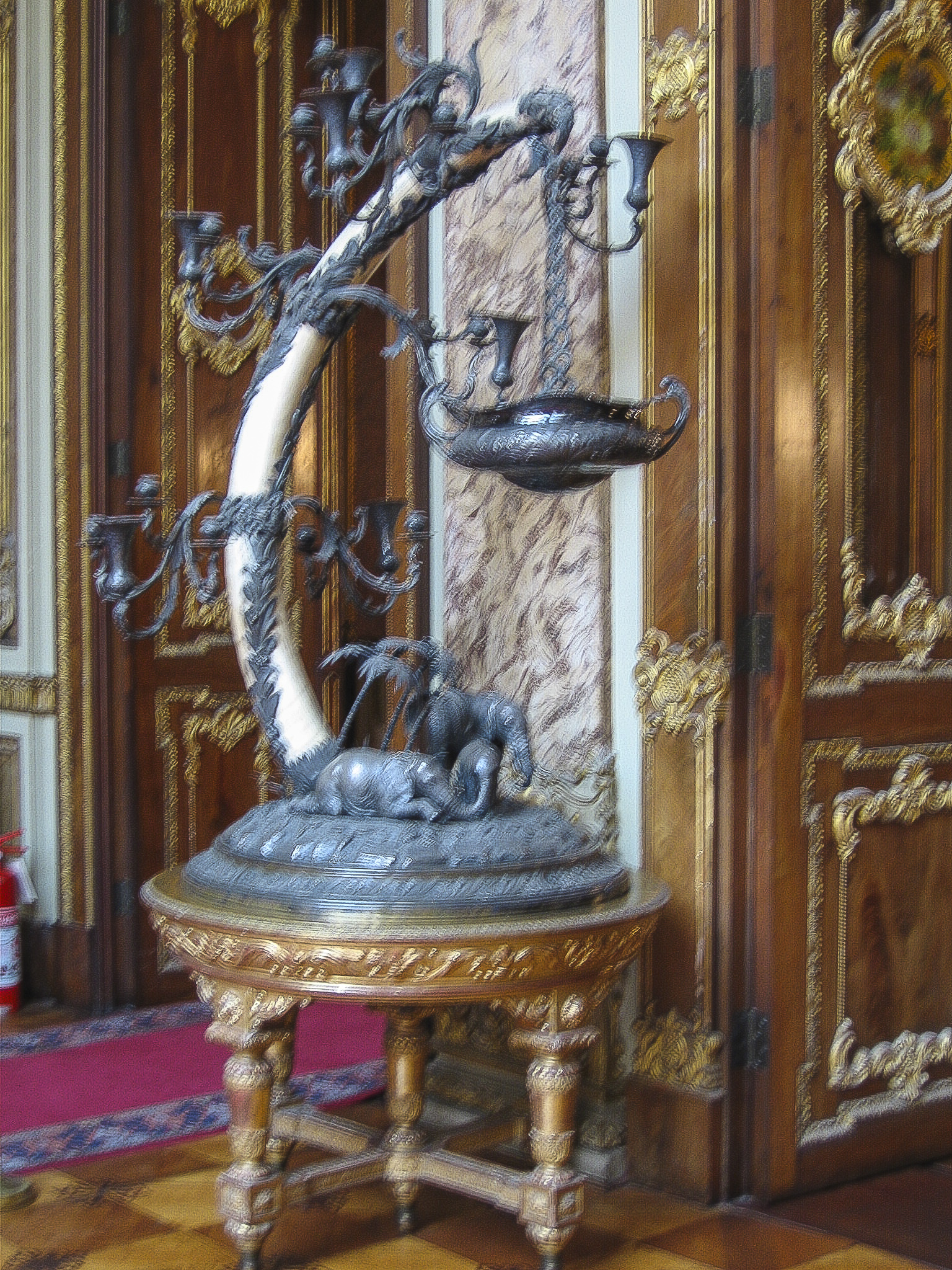
The prize for the most enigmatic furnishing in the palace, without question, goes to the ivory-tusk piece pictured below. There was no plaque or placard associated with it, nothing to indicate its purpose, where it came from, who made it, or what the vessel suspended from the elephant tusk was intended to contain. I can speculate that the trumpet-shaped receptacles, instead of just holding candles, somehow siphoned oil from the hanging vessel.
Very imaginative, and very much unacceptable if it were made today, but in the nineteenth century nobody worried about elephants becoming extinct.
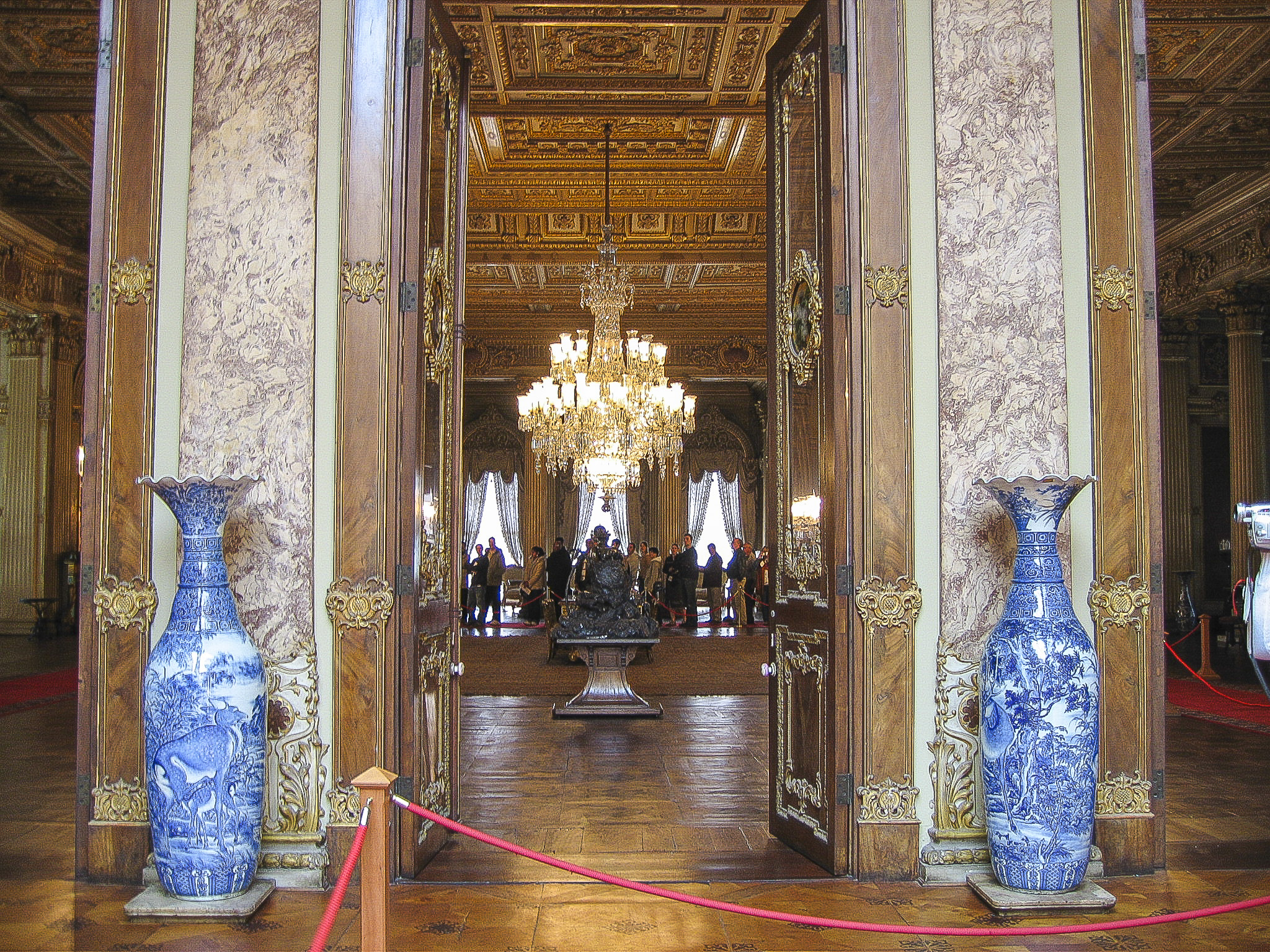
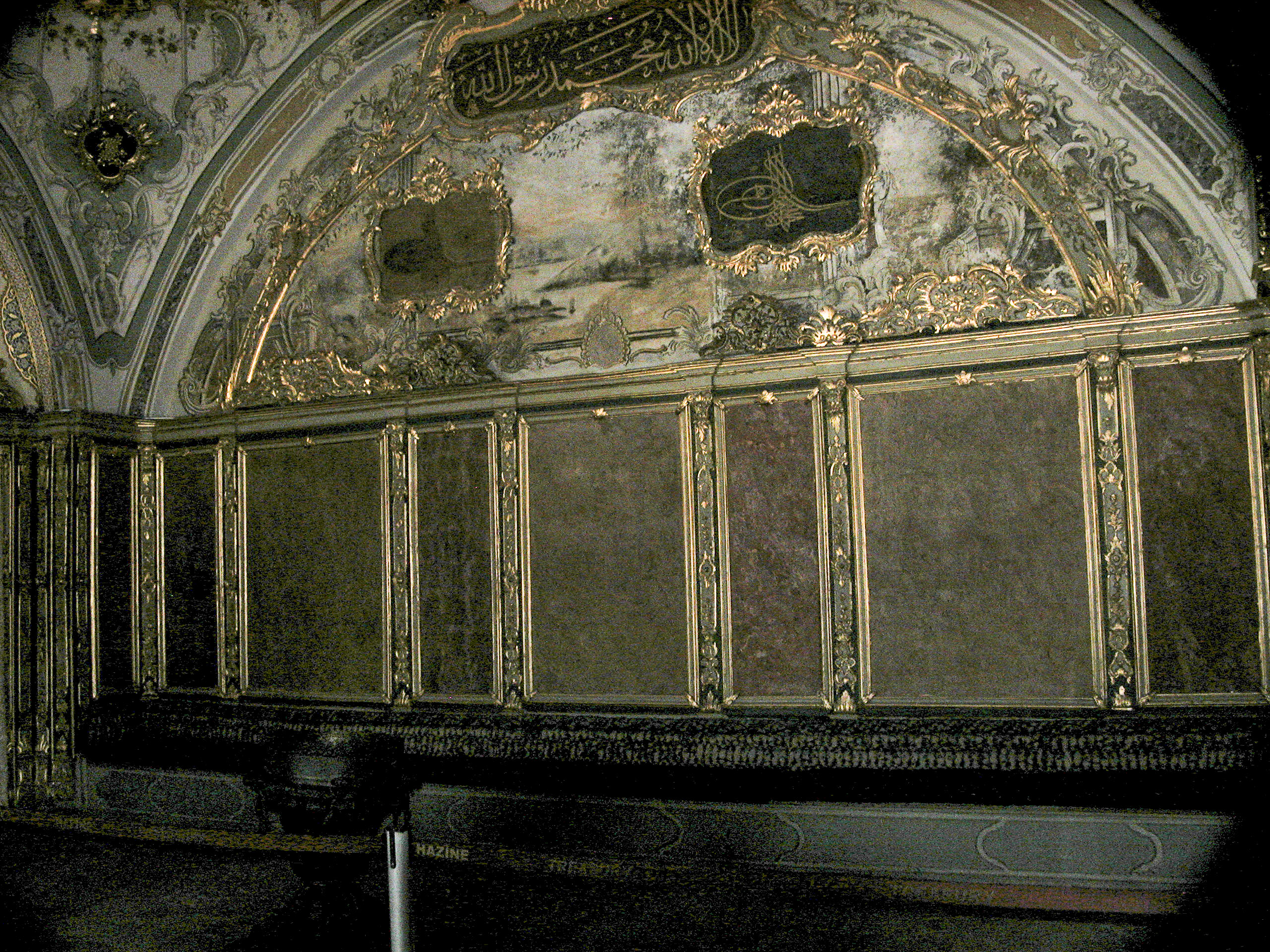
A door framed by two Ming vases took us into the Ambassadors’ Hall, where the Sultan received envoys of other nations, including Russia, whose Tsar Nicholas I donated two bearskin rugs for the room.
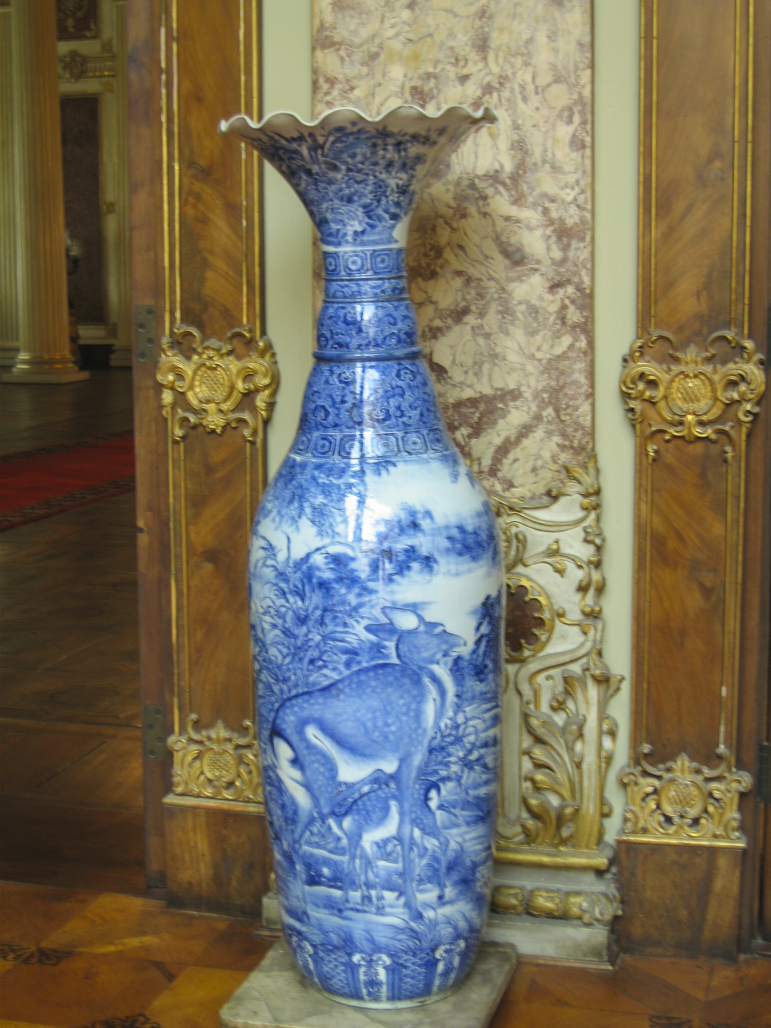
A close-up shot of one of the Ming vases reveals the incredible detail achieved by the Chinese artists who mastered this blue-on-white ceramic technique.
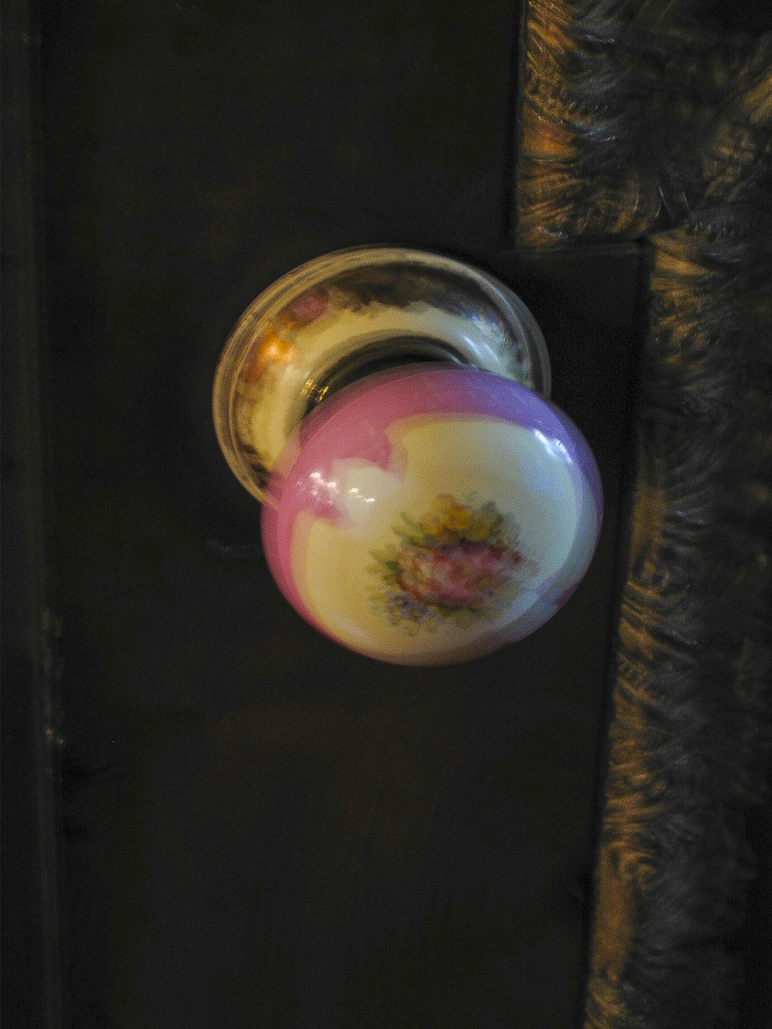
Even the smallest and most basic furnishings in this palace, such as the doorknobs, were exquisite.
In the Red Room, not surprisingly, the color red predominates in the drapes, wall fabric and furniture, and even shows up in the chandelier. Gold leaf is used extensively in the furnishings and ornamentation.
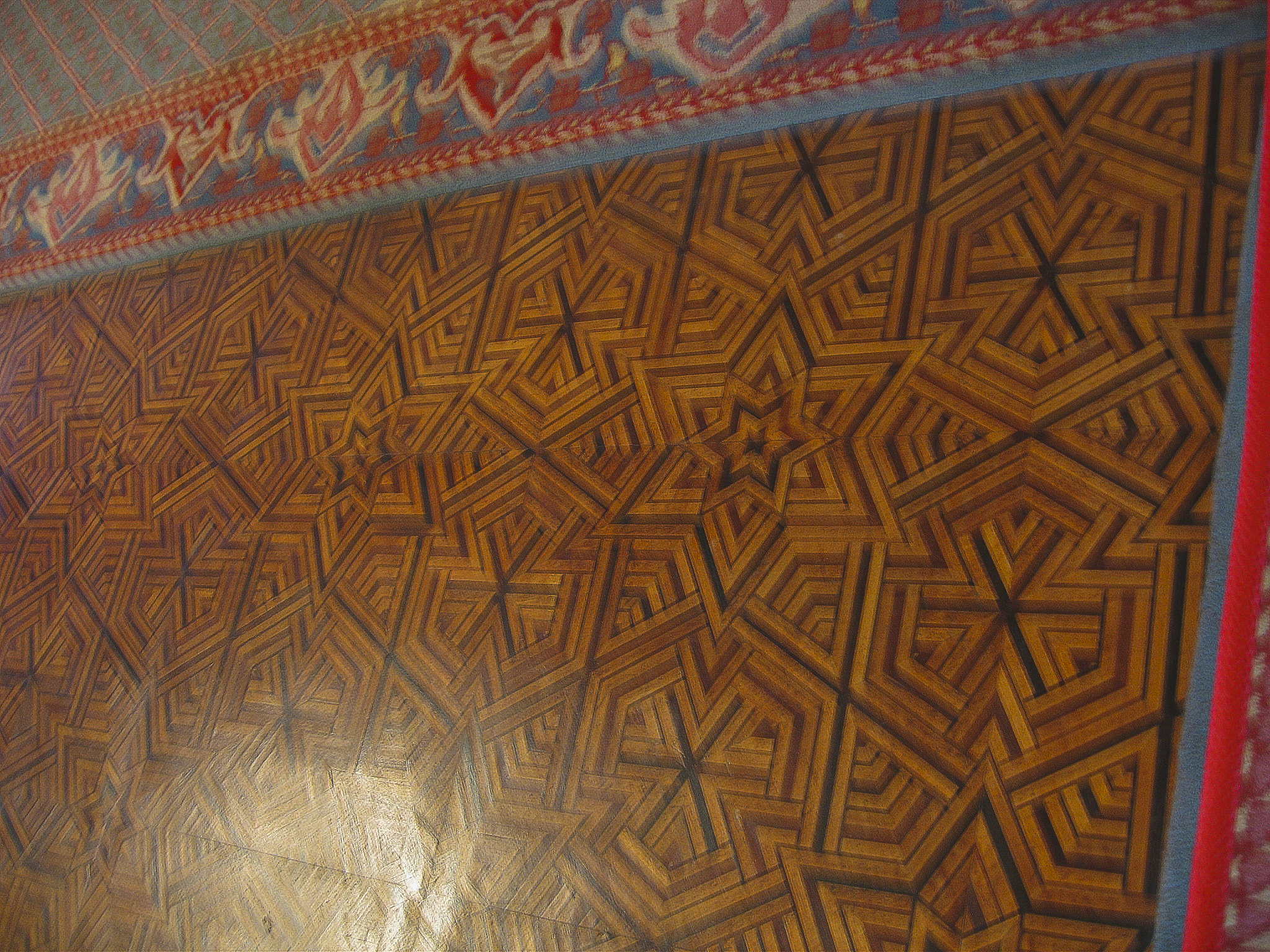
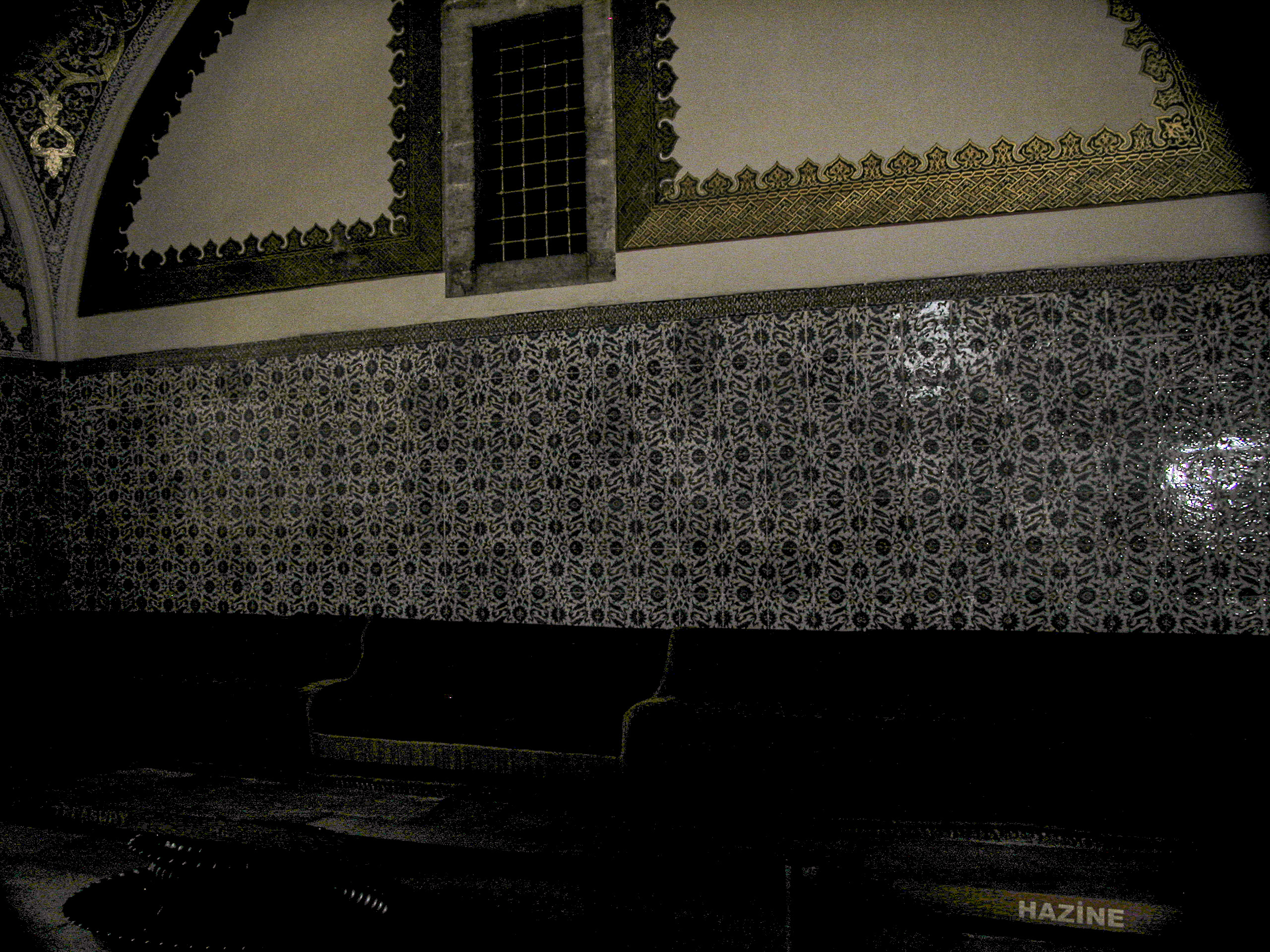
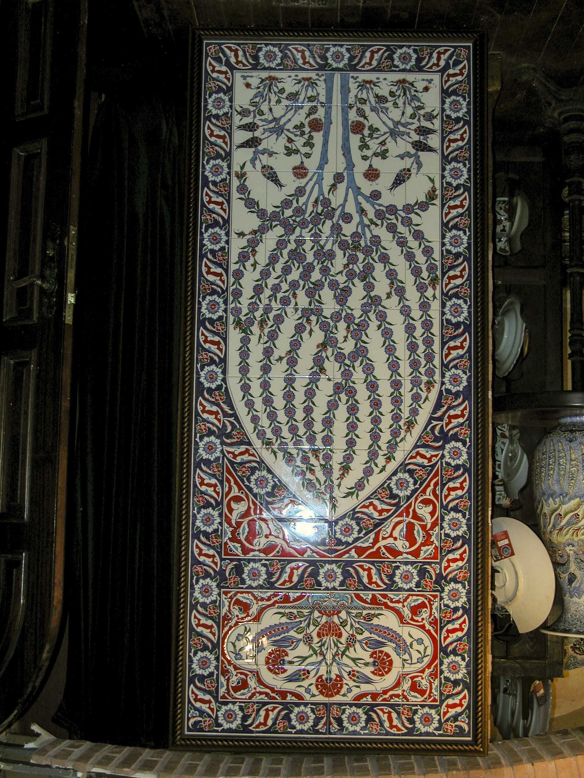
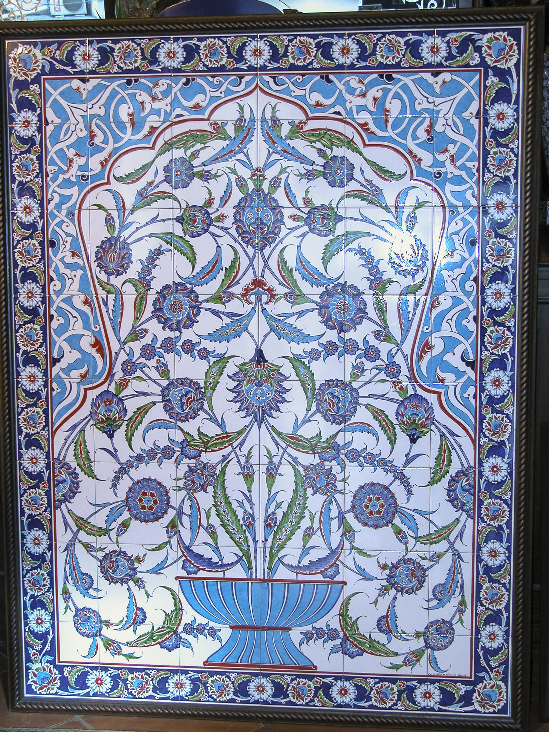
Parquet blocks with complex geometric designs covered the floors of the palace. They reminded me of the parquet floors in the palaces of Russian tsars, which I had visited in 1972-3. However, in the Dolmabahçe Palace the floors were more often overlaid with sumptuous carpets. These were produced exclusively in the town of Hereke, near Istanbul, in a factory founded by Sultan Abdülmecid I himself in 1841. The Sultan reserved the production of these carpets for himself, only giving some of them away as presents for visiting royalty and other dignitaries. Until 1890 their sale on the commercial market was forbidden. They were (and still are) made with wool, cotton and silk thread, and sometimes gold and silver as well.
There are a number of so-called Boulle tables in Dolmabahçe Palace. André-Charles Boulle was a French cabinetmaker of the 17th and early 18th centuries, considered the greatest of his time. He could not have made the Boulle tables in the Dolmabahçe Palace because he died in 1732, and the tables were inlaid with Sultan Abdülmecid’s monogram. After his death his name became a generic term for the type of work he did. There was no information to indicate who actually made the Boulle tables or when.
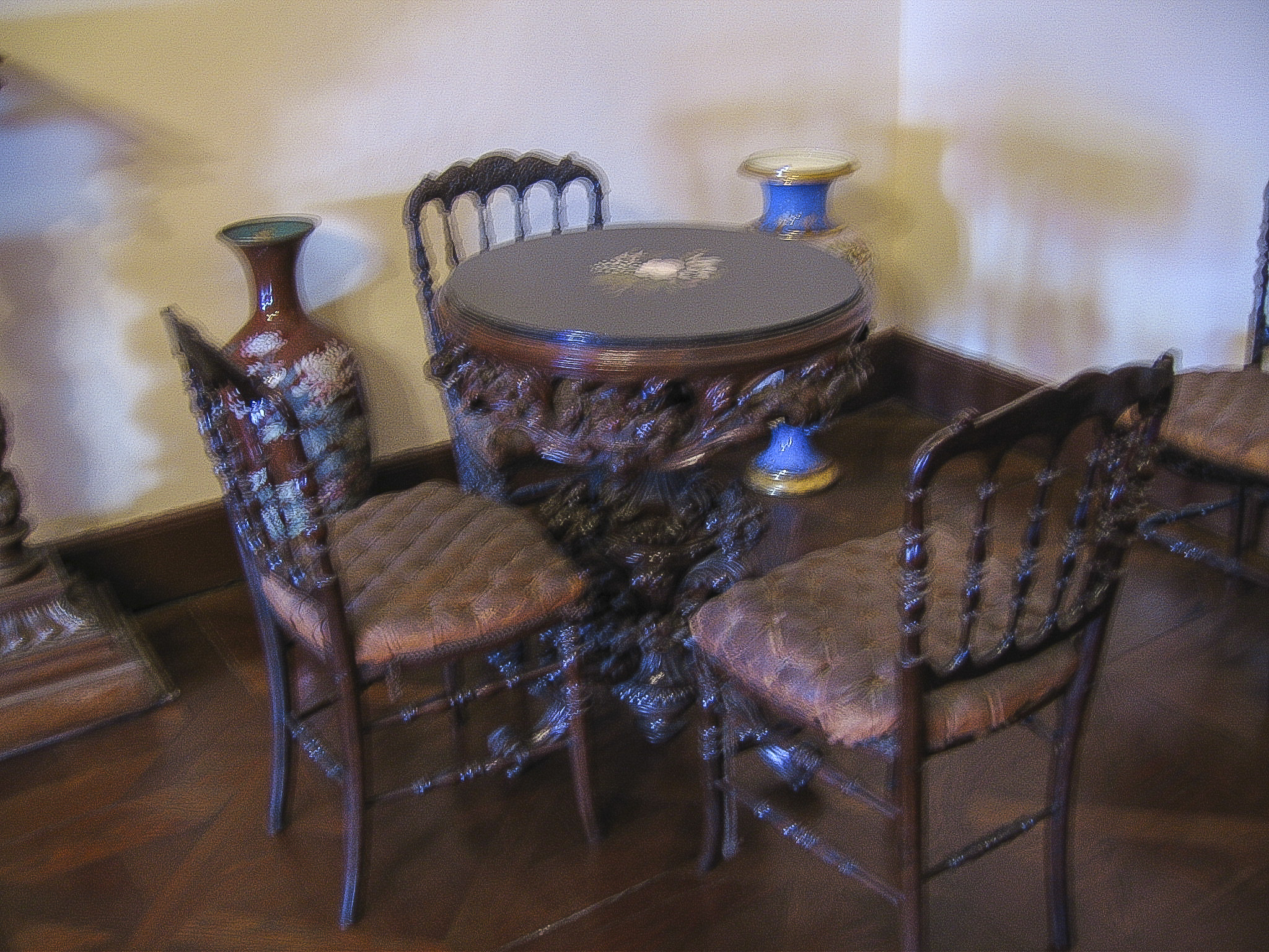
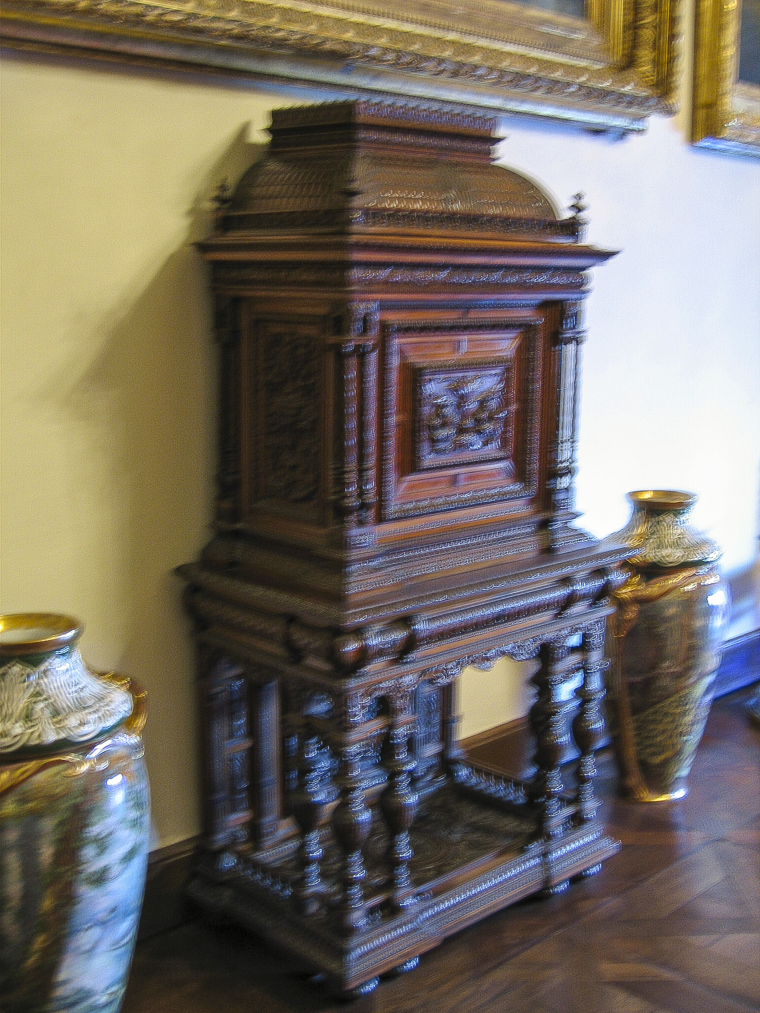
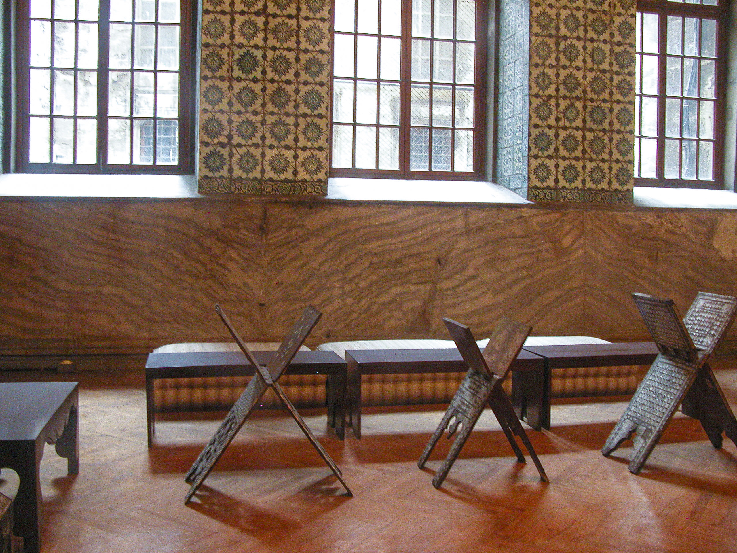
The harem contained many elaborately carved pieces of furniture, but again, no information was provided as to their origins or creators.
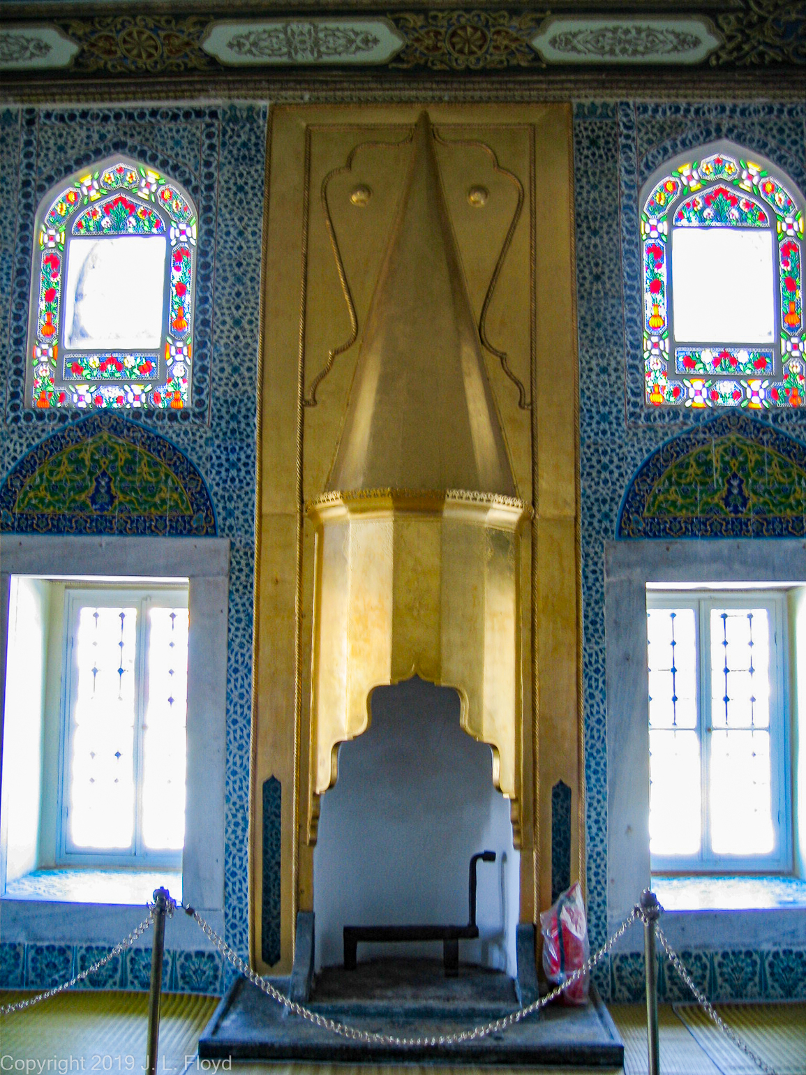
In the Blue Room, as the name implies, the color blue dominated the furnishings decorations. It was here that the Sultan met with the public, when he was so inclined.
This chandelier turned out to be my favorite of all those in the palace because of its relative simplicity and its judicious use of the color red. I don’t remember which room it was in.
Trompe d’oeil, a feature I had seen used extensively in tsarist Russian palaces, was also present in the Dolmabahçe Palace. An outstanding example was this faux window with a flowerpot sitting on the sill. It was in the same room as the red chandelier, but I don’t remember the name of the room.
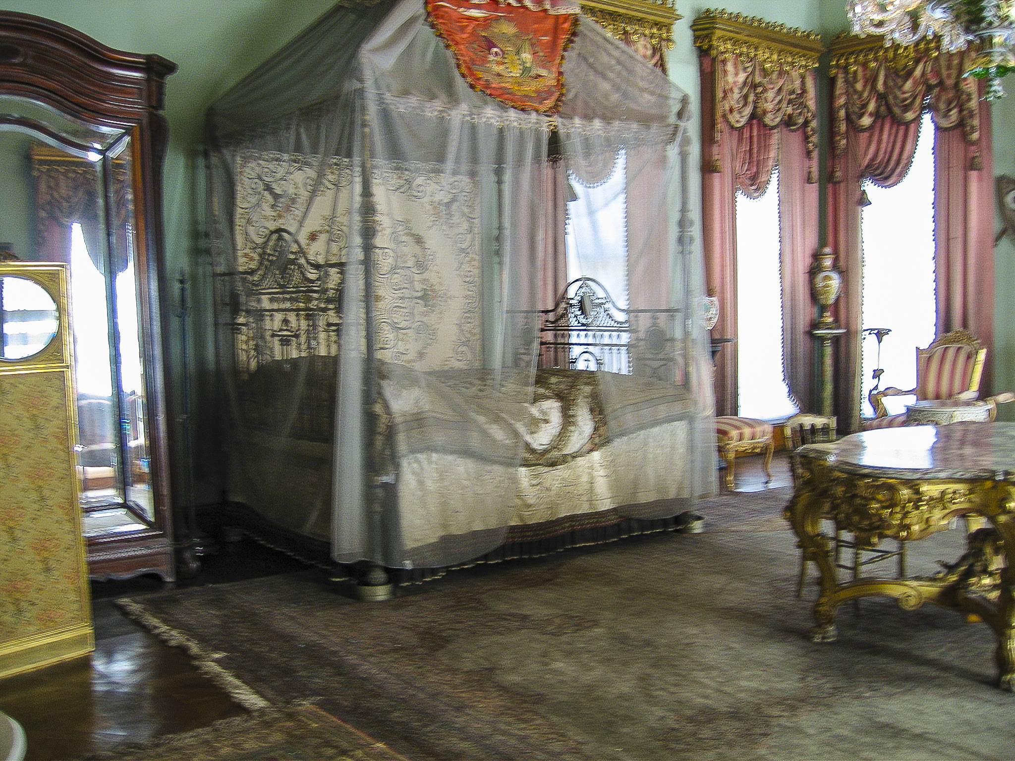
In a harem bedroom with pink curtains, we saw the bed pictured here. This is the kind of bed that comes to mind when I think of a bed fit for a king or queen.
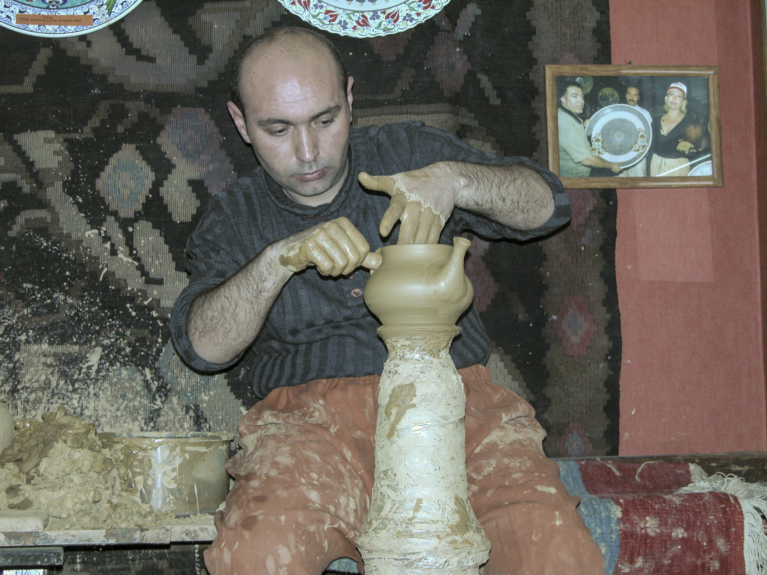
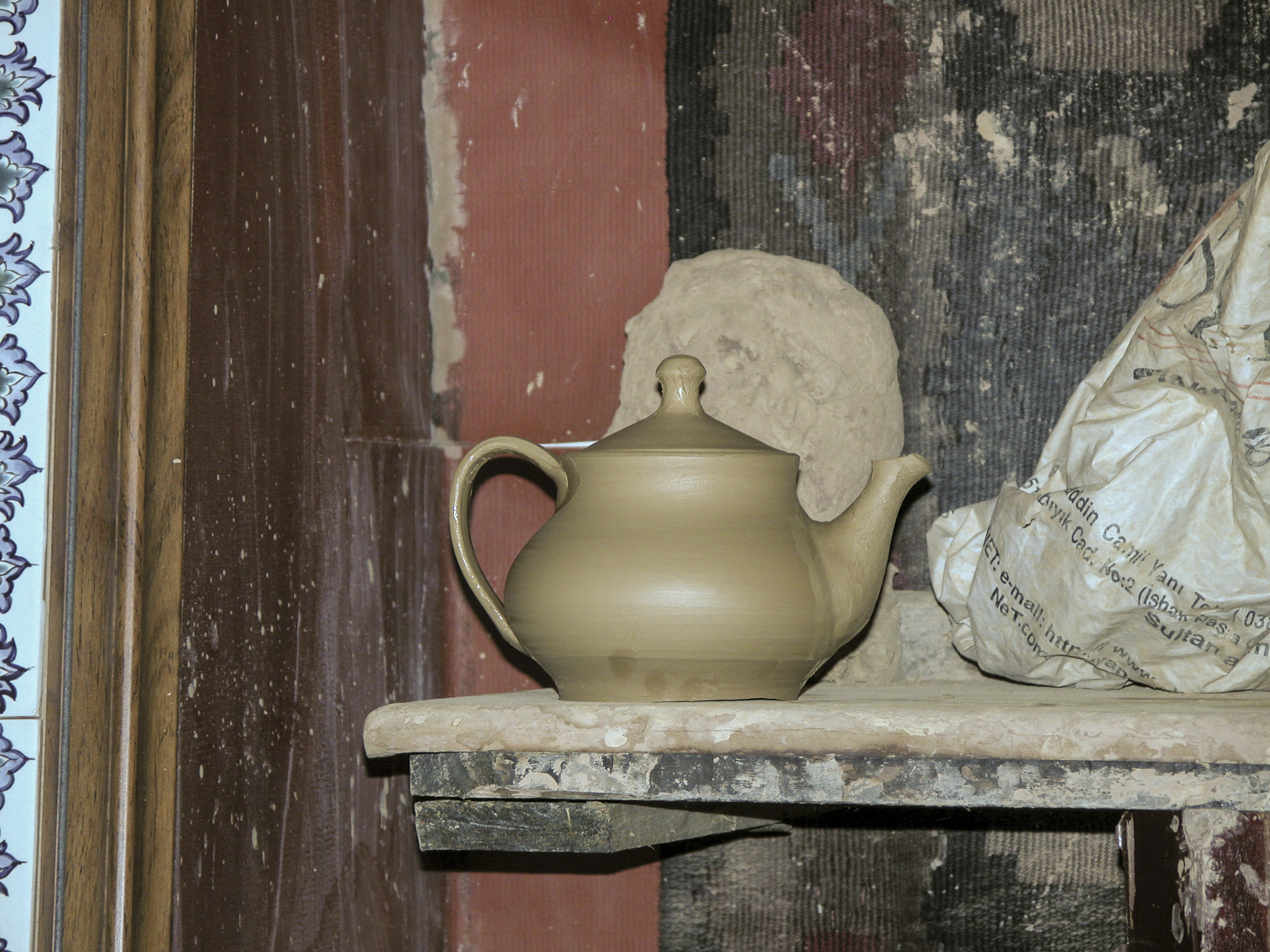
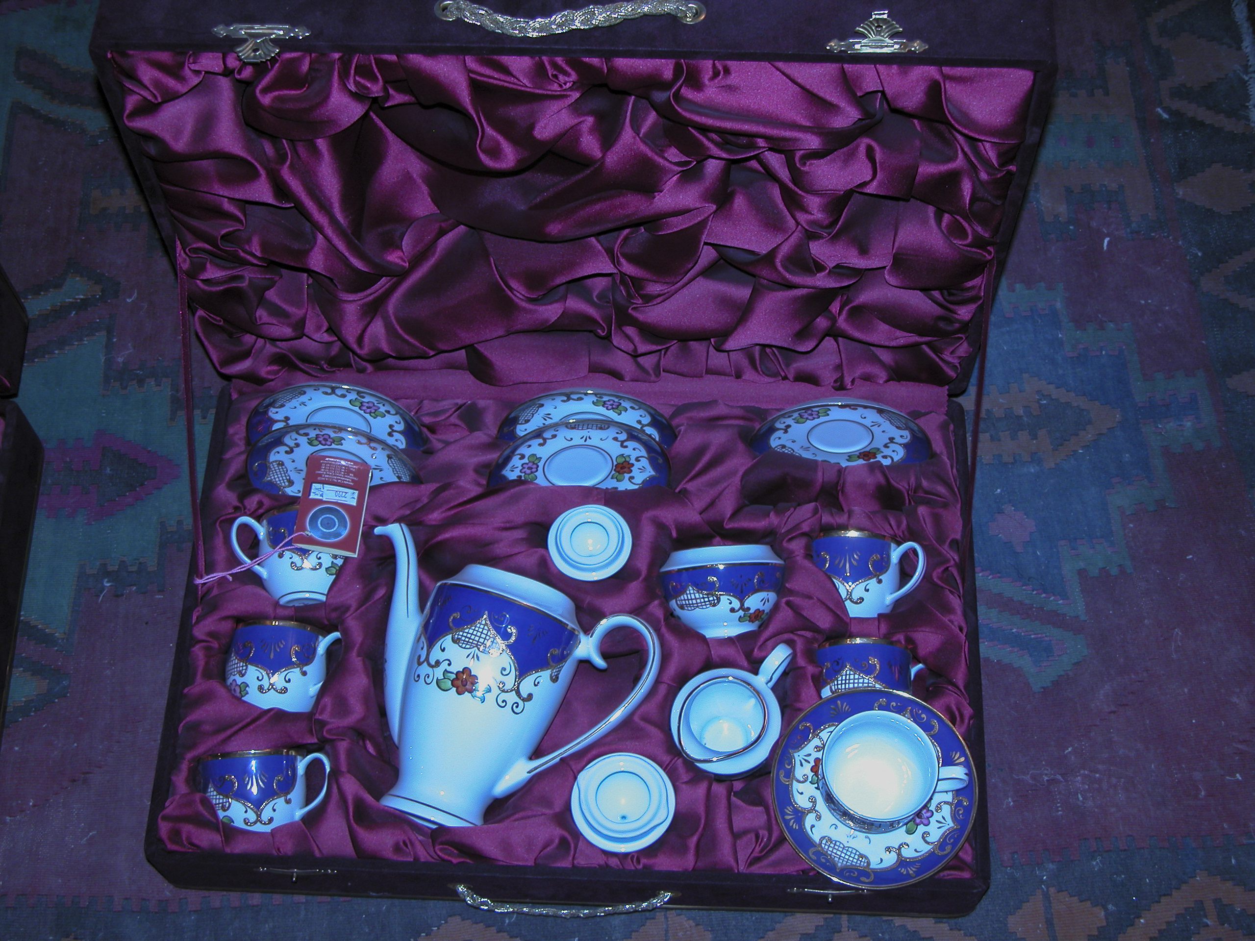
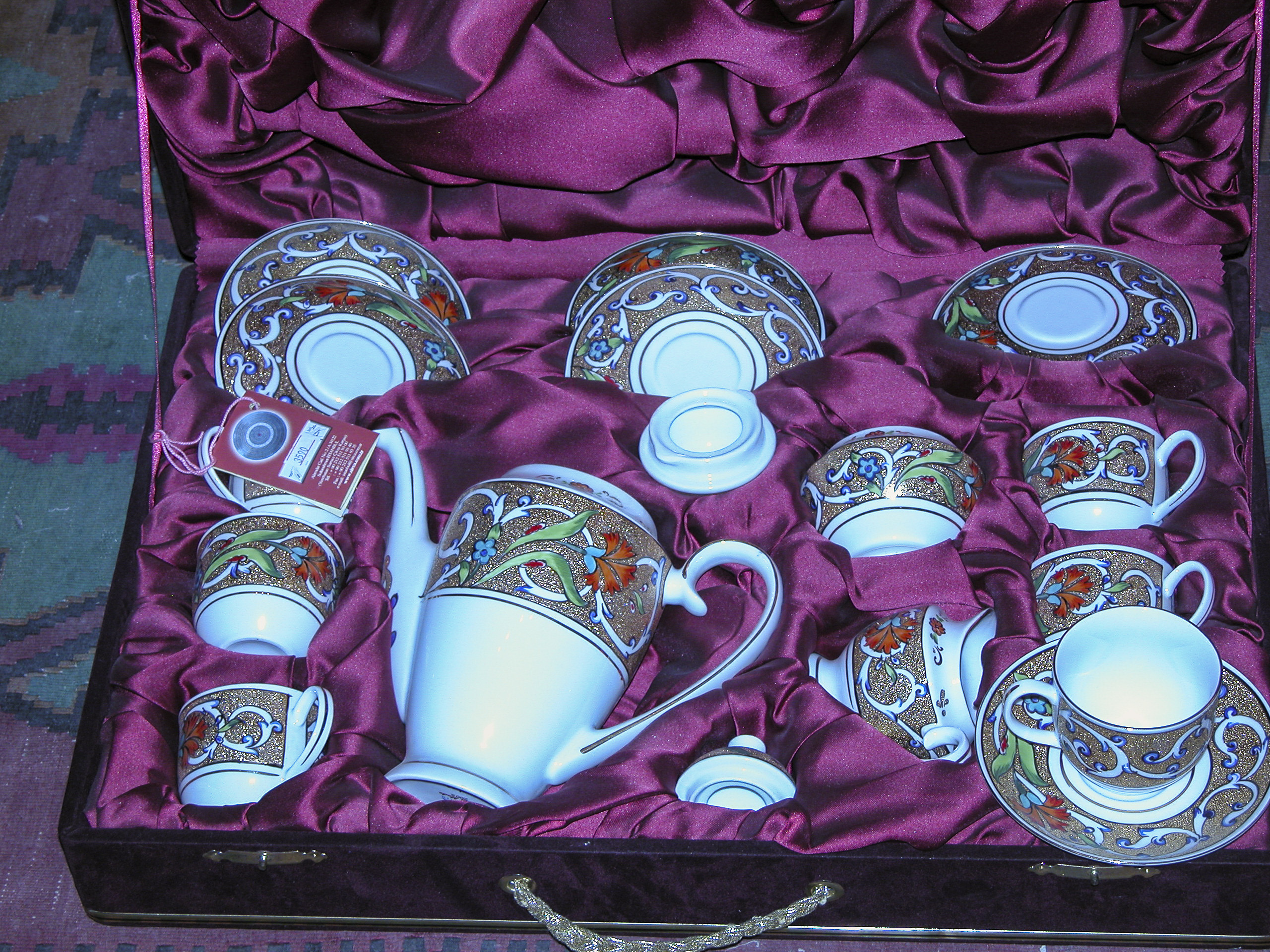
In the dining room, we viewed the china on which the royal family took their meals.
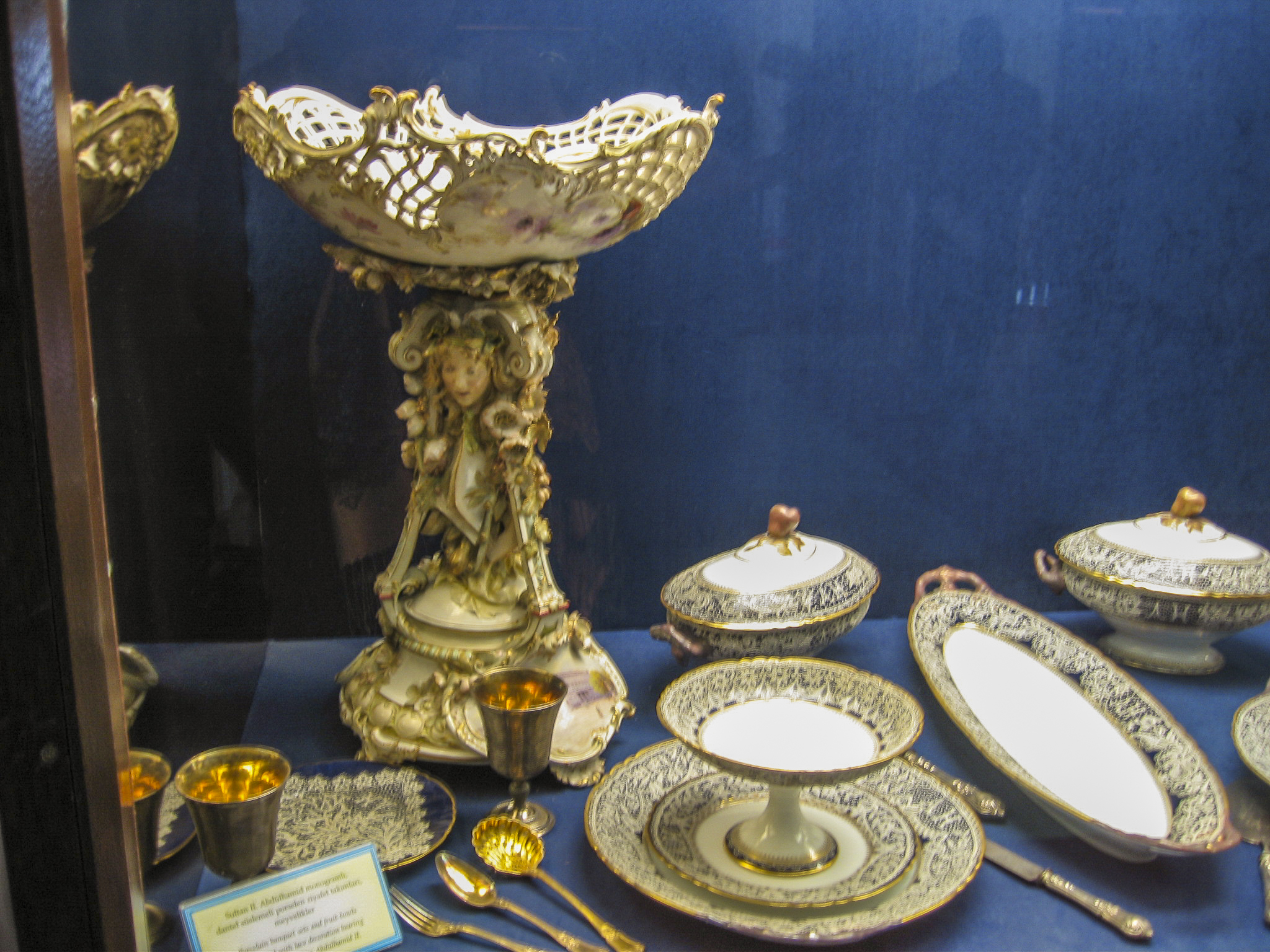
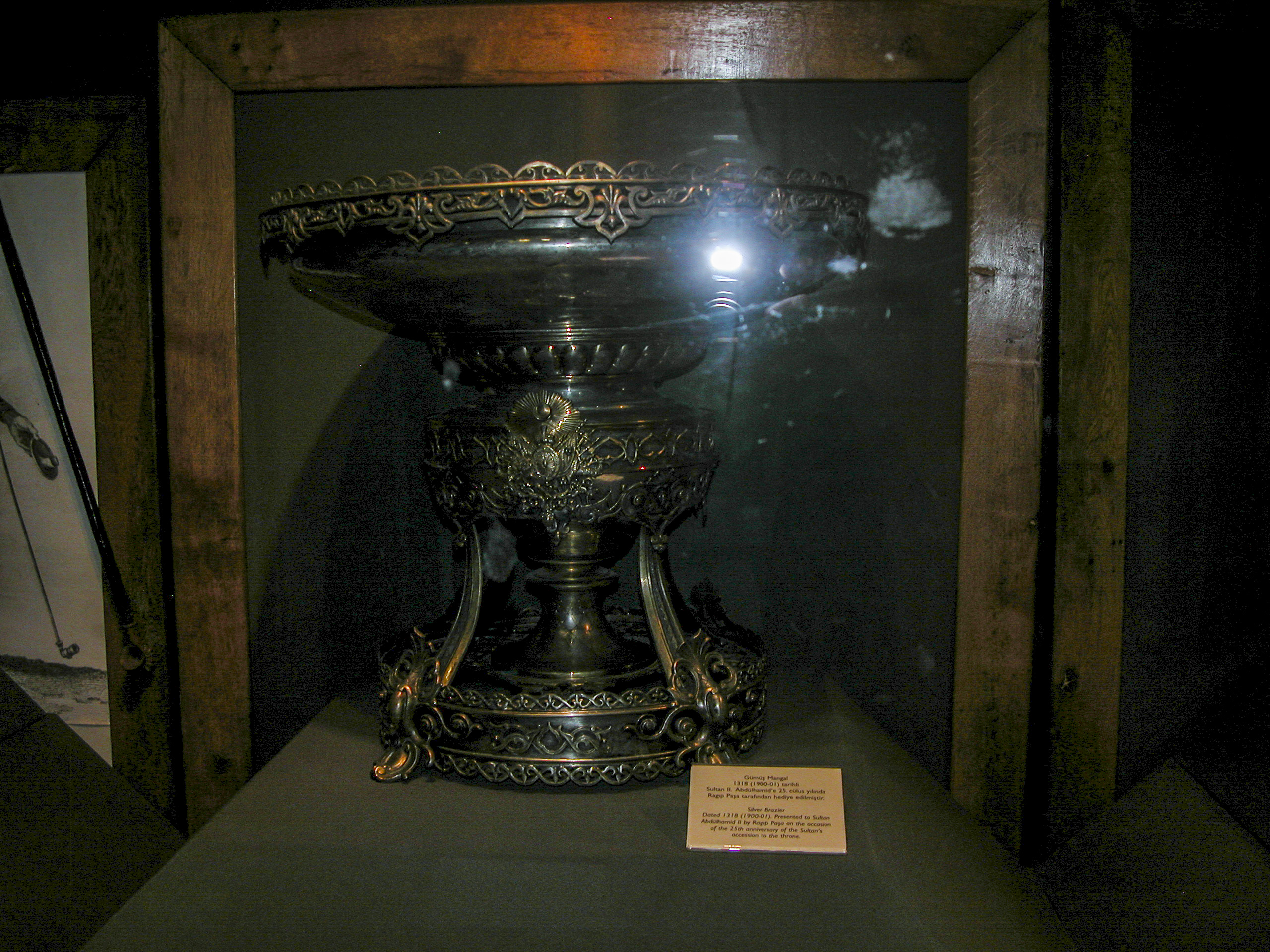
Also on display were elegant silver vessels, platters and china demi-tasses, suitable for tea or coffee.
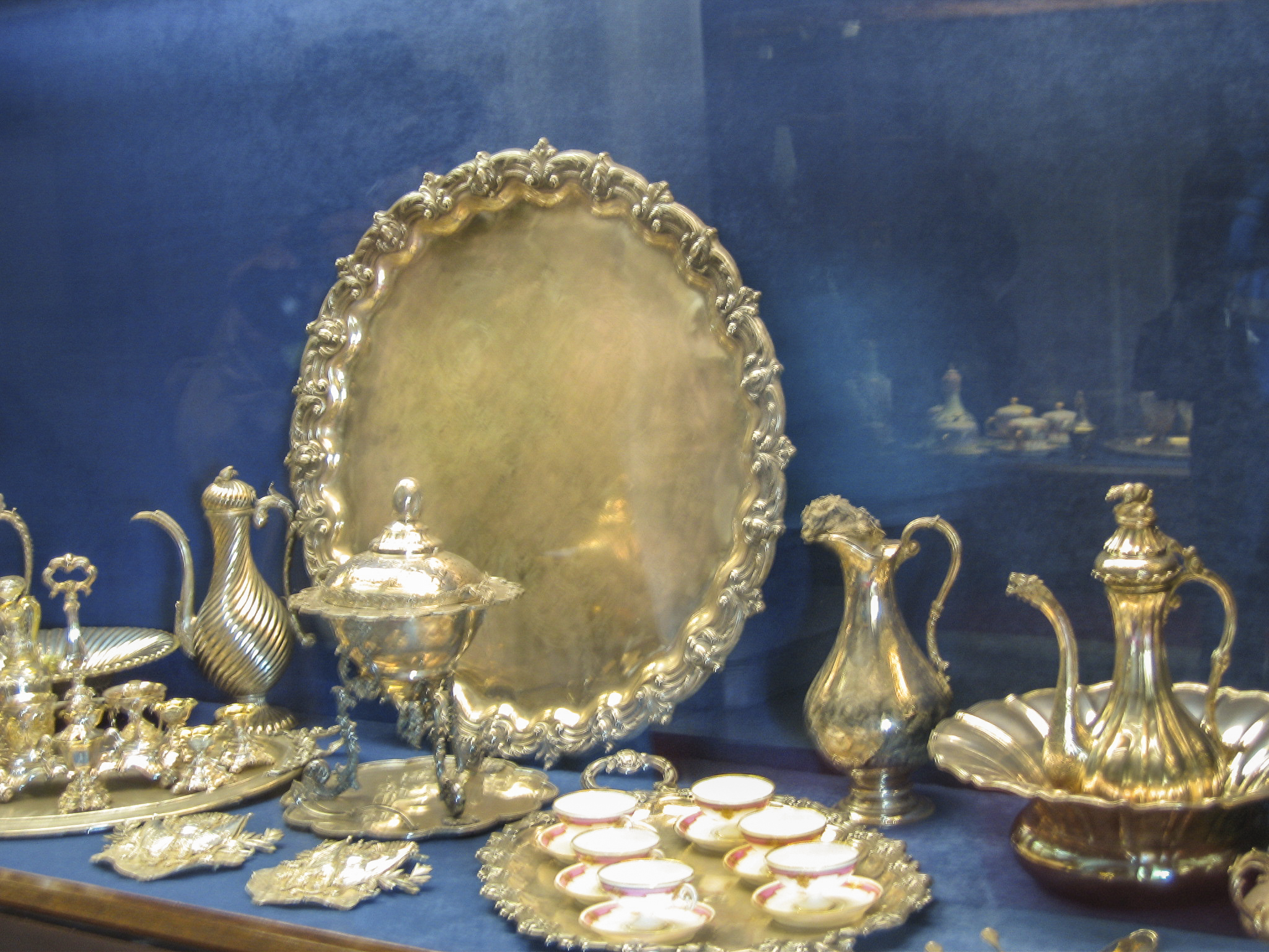
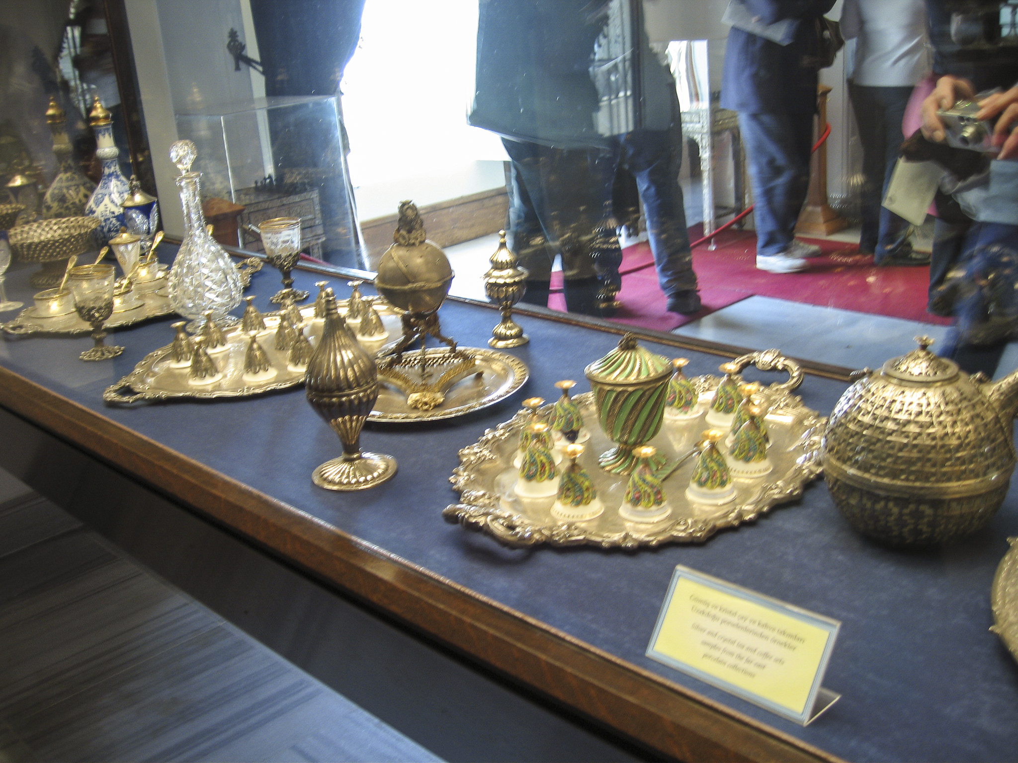
This table was set with what I presumed to be tea services, as well as decanters for other beverages, and vessels for sugar, cream and other condiments.
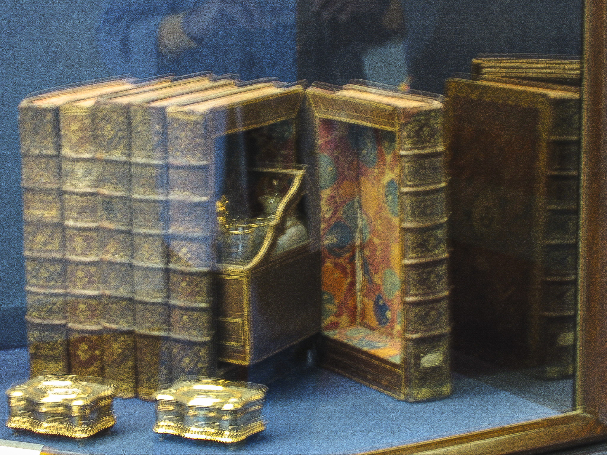
The palace library was added by Abdülmecid II, a gentle and scholarly man who became Crown Prince in 1918, but never Sultan, since the Sultanate was abolished in 1922. Instead he was elected Caliph, but that office was abolished too in 1924, and Mustafa Kemal Atatürk sent Abdülmecid into exile to prevent him from becoming a rallying point for opposition to the new republican regime. The library thus ended up being used mainly by Atatürk, who moved the capital to Ankara, but used the Dolmabahçe Palace as his Istanbul headquarters. The library is noteworthy not only for its collection of real books but also for the fake ones where one could conceal medications and various recreational substances.
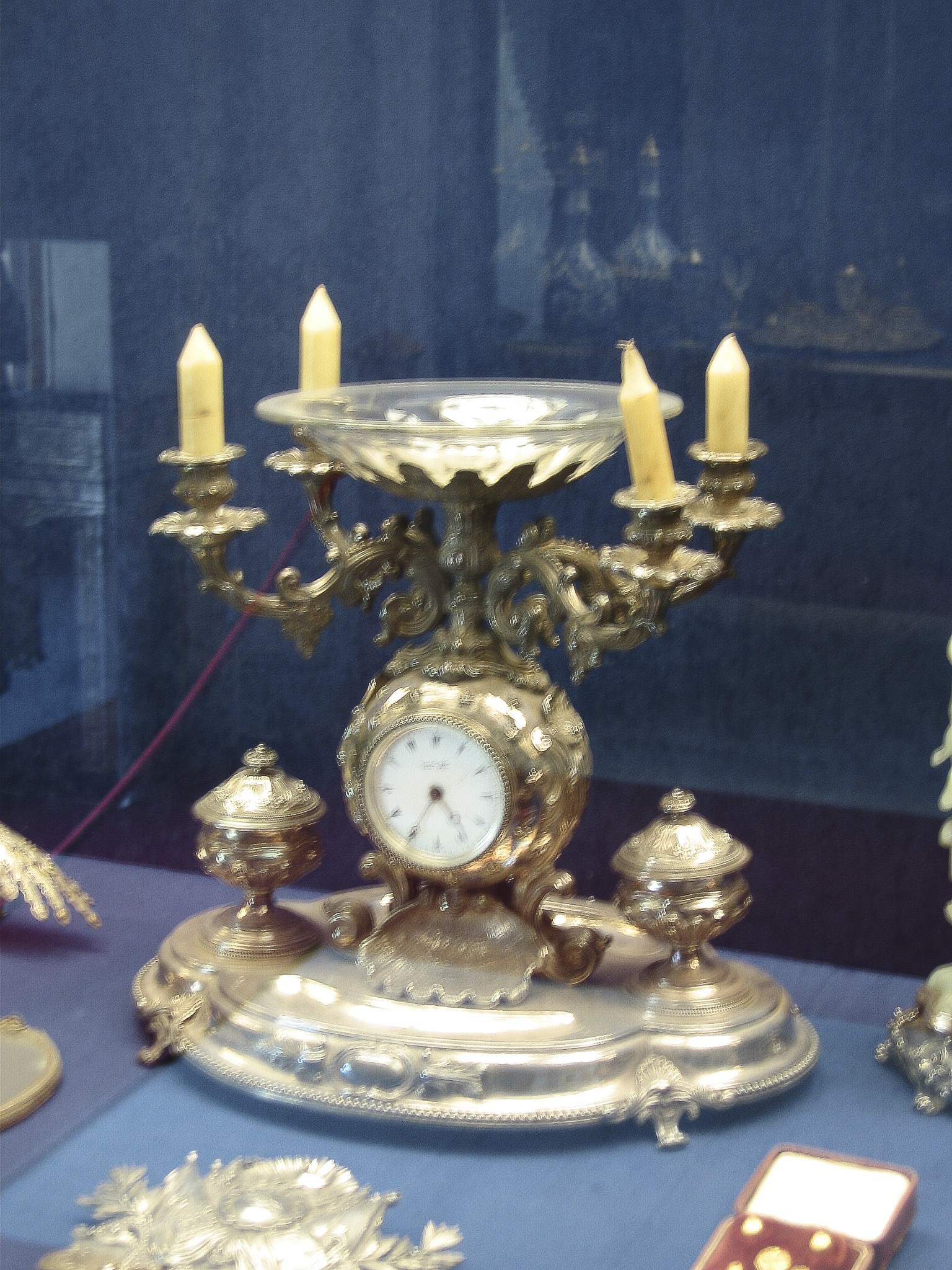
In one of the boudoirs of the harem we encountered a combination candelabra, clock, and bowl, equipped with containers for dispensing either condiments or cosmetics, I’m not sure which.
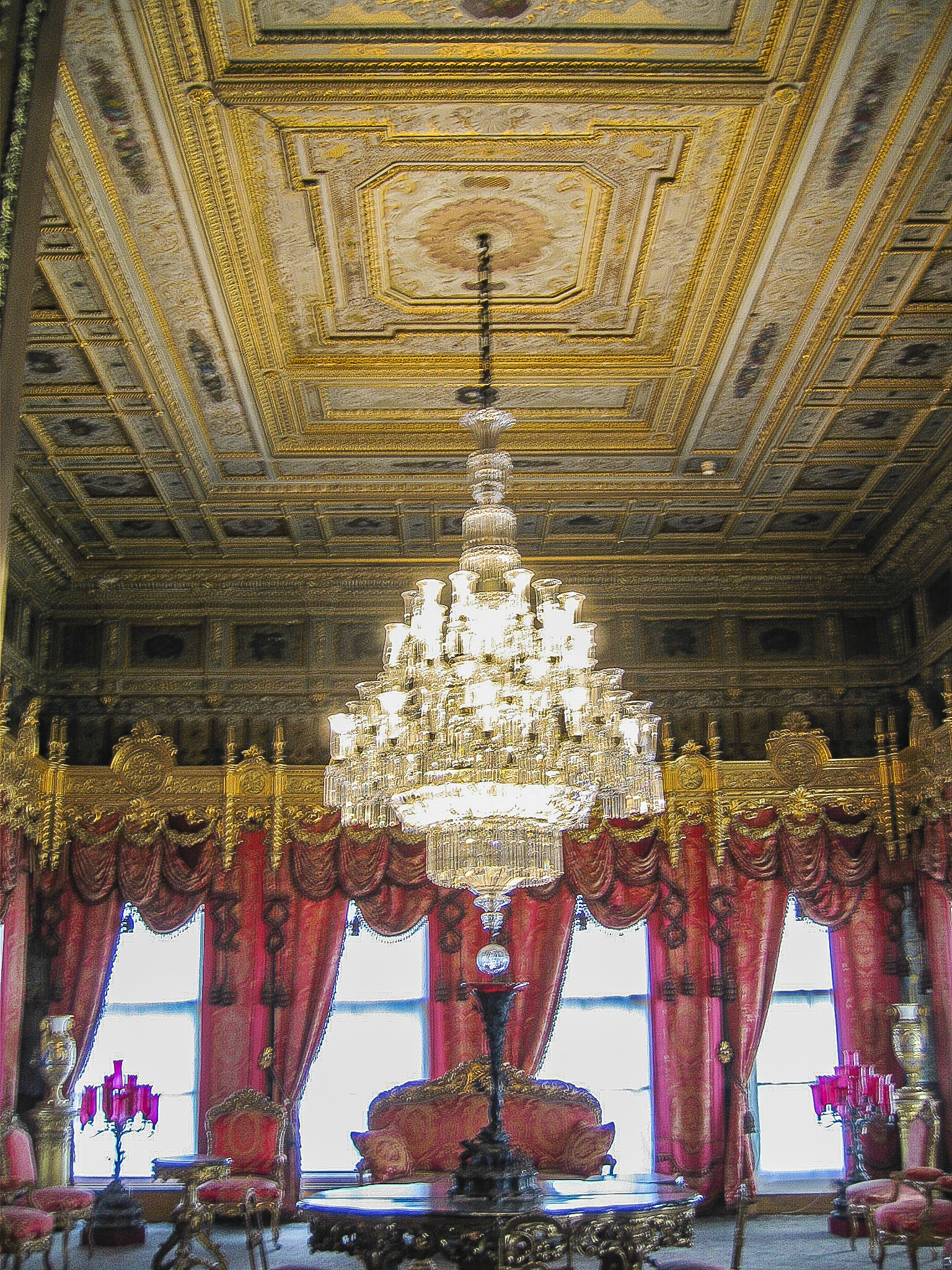
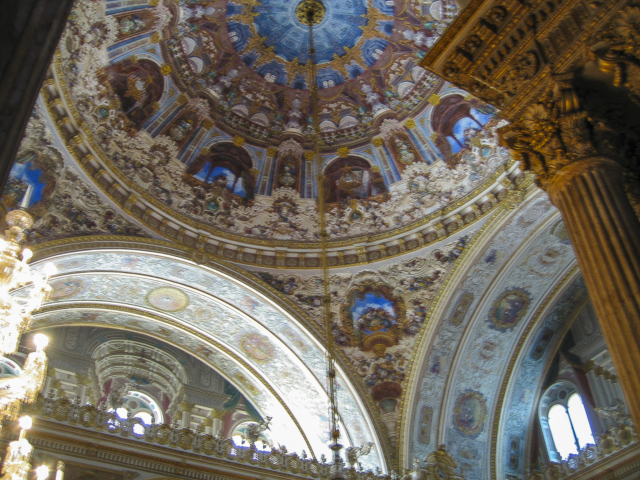
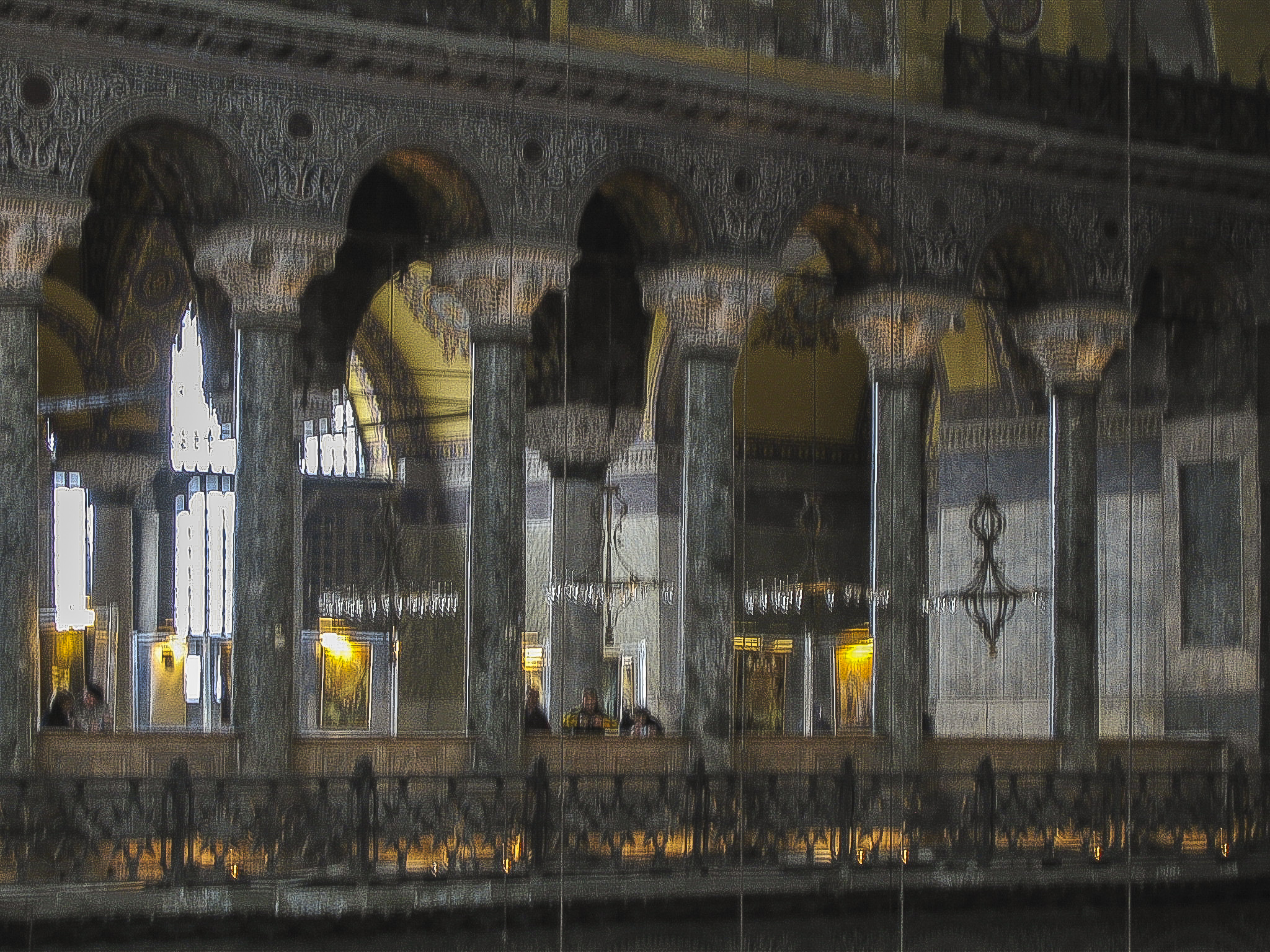
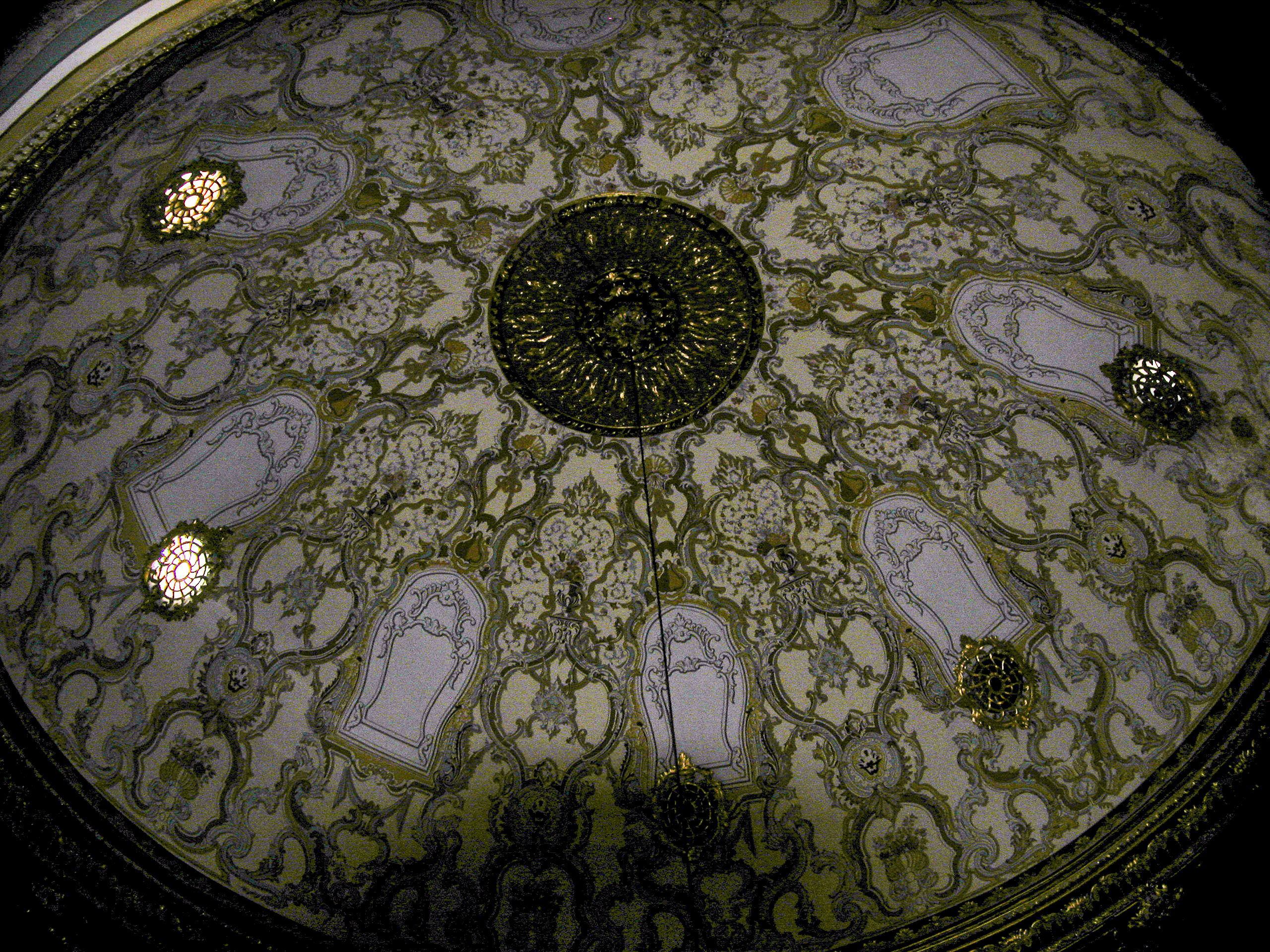
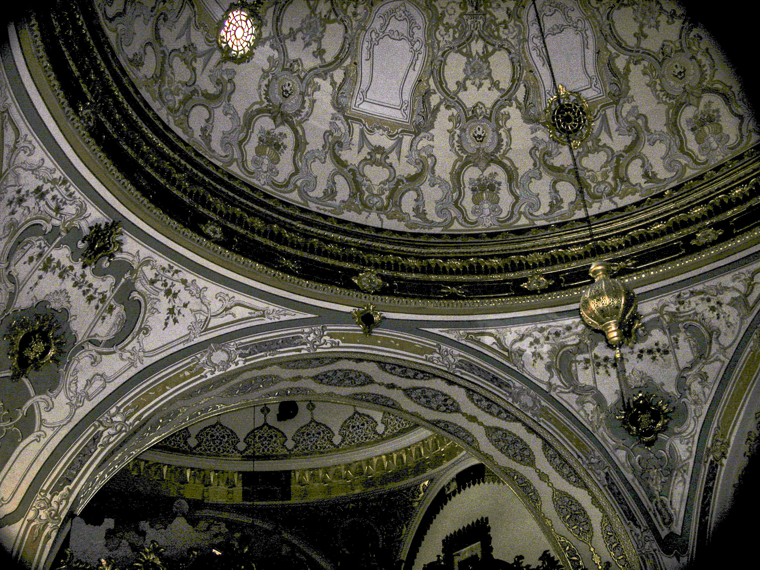
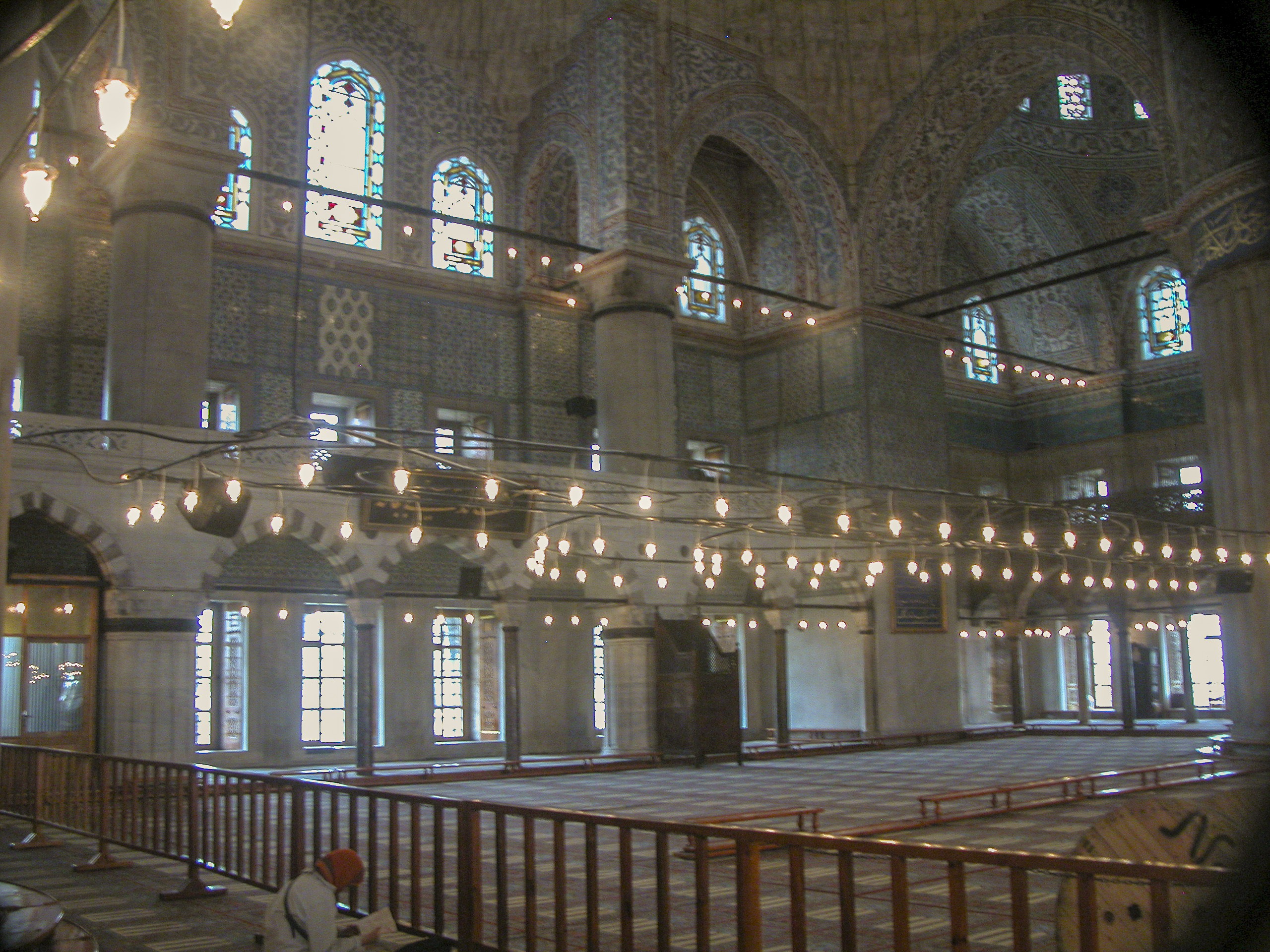
The largest room in the Dolmabahçe palace is the Muayede or Ceremonial Hall, which at once culminates and terminates the Selamlık, separating it from the harem. Women were not allowed to attend the ceremonies here, but they could watch from windows in the upstairs corridor connecting the Selamlik with the harem. The floor of the Muayede is partially covered with the largest Hereke carpet in the world.
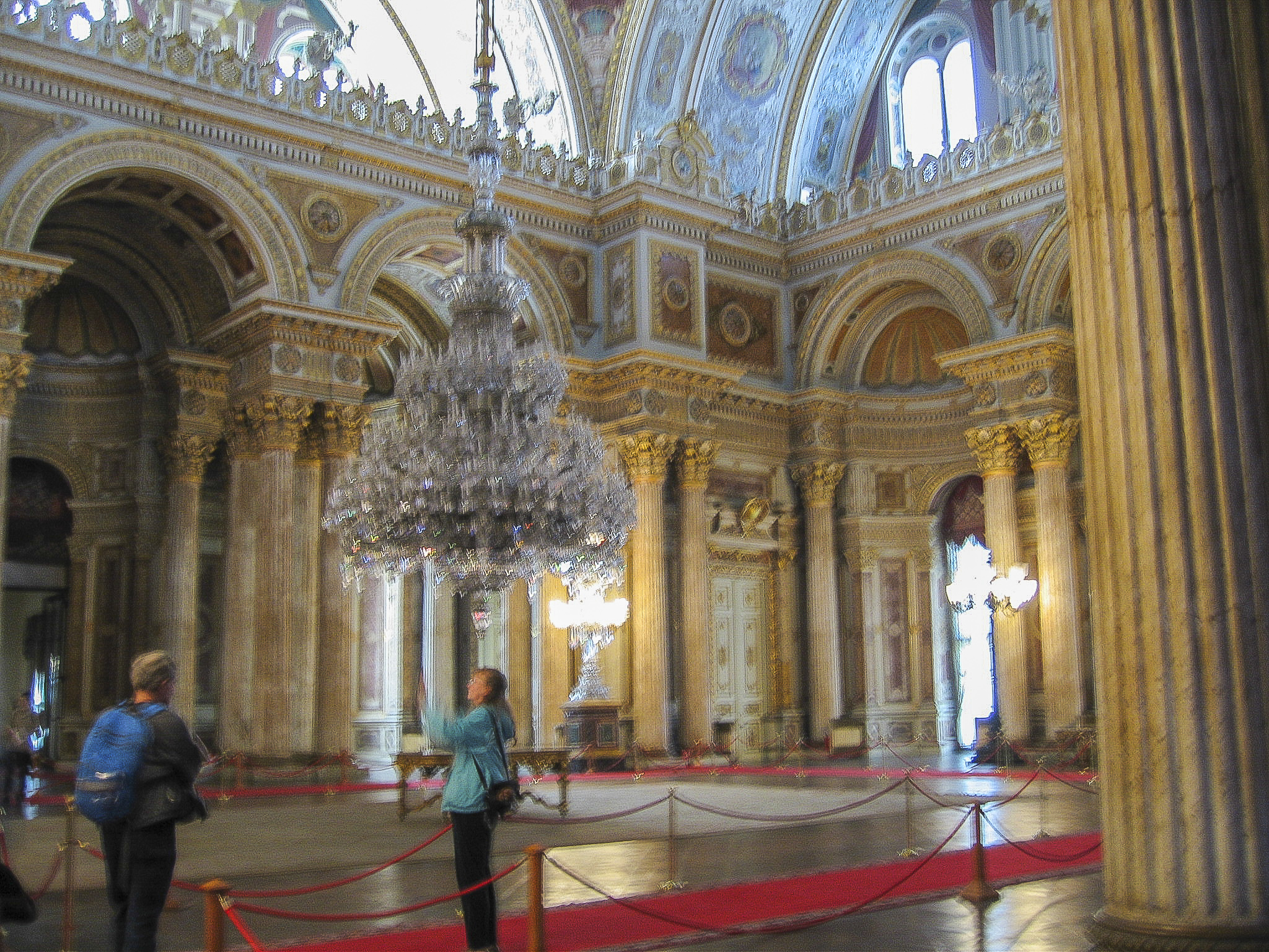
The beautifully inlaid dome of the Muayede is 118 feet high, and 56 columns line the hall. In the winter, it took three days to heat the Muayede in preparation for a ceremony.
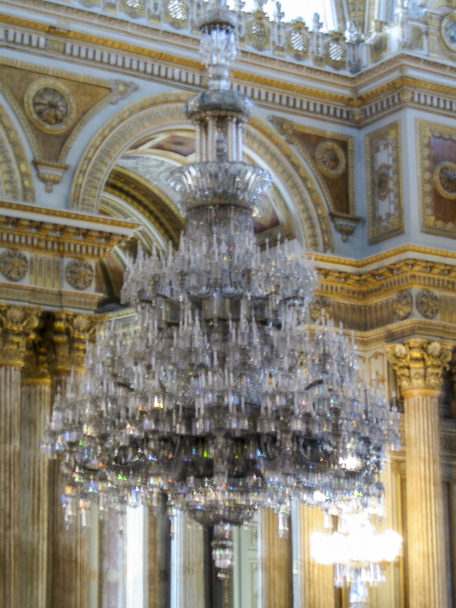
The Muayede also sports the world’s largest Bohemian glass chandelier. It weighs 4.5 tons and has 750 lamps. It used to be thought that it was a gift from Queen Victoria, but in 2006, when we visited, I brought a receipt which I had turned up while I was in England showing that it had been bought and paid for by the Sultan’s treasury. (Of course I’m kidding about me finding the receipt, but the rest is true.)
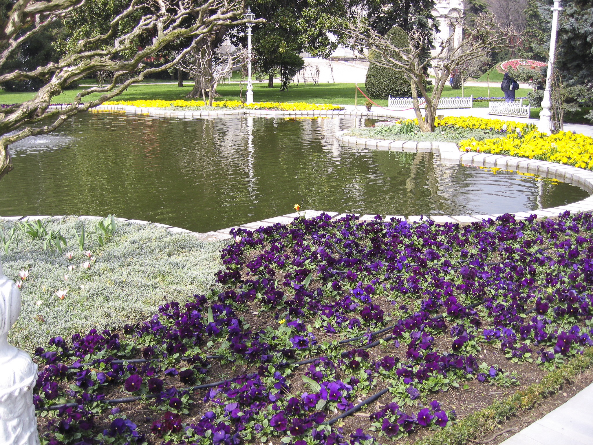
As we left the palace, Sandie and I posed for a farewell picture by the pond in the palace garden, with the Swan Fountain and the Selamlık façade as a backdrop.


