Categories
Turkey, March-April 2006

Istanbul, March 31, 2006: Topkapı Palace – First and Second Courts

Sultan Mehmet II began the construction of the Topkapı Palace in 1459, six years after conquering Constantinople. Since he already had a palace by then, the new palace was called – surprise – the New Palace. It was not called Topkapı, which means Cannon Gate, until the 19th century. Mehmet’s successors greatly expanded the complex, adding many new structures as well as restoring and remodeling existing ones.

Topkapı served as the Sultan’s primary residence as well as the headquarters of the Ottoman Empire’s government until the mid-17th century. After that the Sultans migrated to new palaces along the Bosphorus and the government functions were relocated elsewhere. In 1856 Sultan Abdulmejid I made the transition official by moving the court to his newly built, European-style Dolmabahçe Palace (I’ll deal with that also in another post). In 1924, after the Ottoman Empire gave way to the Turkish Republic, the government made Topkapı a museum. Only a few of its hundreds of buildings and rooms are actually open to the public at any given time, but the palace is so huge that even that fraction is overwhelming. It was impossible to record and report on everything we saw and experienced, so this account can provide only a brief glimpse into the wonders of the place.

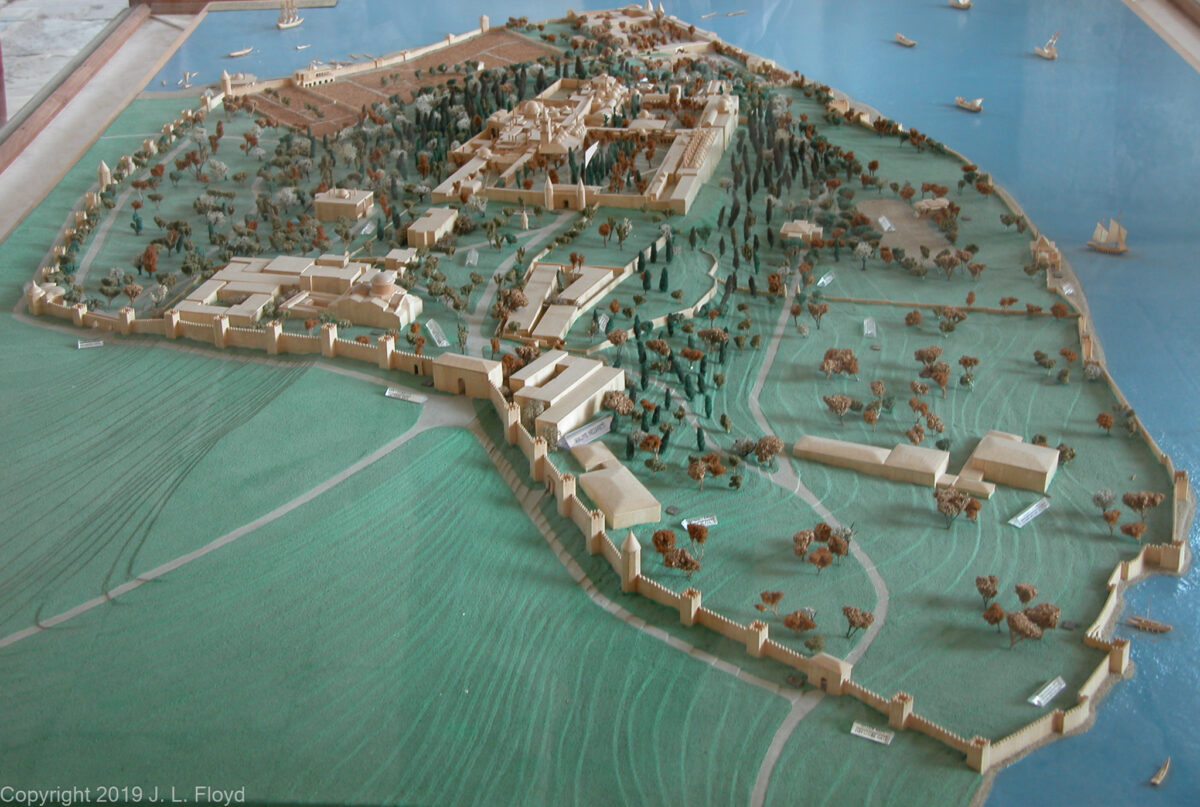
The Topkapı Palace has four courtyards. The First Courtyard, also known as the Court of the Janissaries or the Parade Court, was a parklike area where janissaries paraded and provided an outer buffer of security for the Sultan. It also contained the Church of St. Irene, the Imperial Mint, and various other governmental offices. The Second Courtyard enclosed the palace, properly speaking, i.e. the area where the Sultan lived and the business of government was conducted. The Third Courtyard was also called the Inner Palace and was the Sultan’s private domain. The Fourth Courtyard was a more private inner sanctum, also called the Inner Sofa, containing pavilions of various kinds, gardens and terraces. I shall deal with the Third and Fourth Courtyards in the next post, along with the Harem.

The Bâb-ı Hümâyûn – Imperial Gate – provides entrance to the First Courtyard. It was previously known as the bab-i ali, or High Gate, and its French translation (French being the language of diplomacy in those days) became used throughout Europe a synecdoche, or metaphor, for the Ottoman government as a whole: the Sublime Porte, or most often just the Porte. This derived from the Byzantine and Ottoman practice of issuing decrees and announcements at the gate of the palace.The Topkapı Palace has four courtyards. The First Courtyard, also known as the Court of the Janissaries or the Parade Court, was a parklike area where janissaries paraded and provided an outer buffer of security for the Sultan. It also contained the Church of St. Irene, the Imperial Mint, and various other governmental offices. The Second Courtyard enclosed the palace, properly speaking, i.e. the area where the Sultan lived and the business of government was conducted. The Third Courtyard was also called the Inner Palace and was the Sultan’s private domain. The Fourth Courtyard was a more private inner sanctum, also called the Inner Sofa, containing pavilions of various kinds, gardens and terraces. I shall deal with the Third and Fourth Courtyards in the next post, along with the Harem.The Bâb-ı Hümâyûn – Imperial Gate – provides entrance to the First Courtyard. It was previously known as the bab-i ali, or High Gate, and its French translation (French being the language of diplomacy in those days) became used throughout Europe a synecdoche, or metaphor, for the Ottoman government as a whole: the Sublime Porte, or most often just the Porte. This derived from the Byzantine and Ottoman practice of issuing decrees and announcements at the gate of the palace.
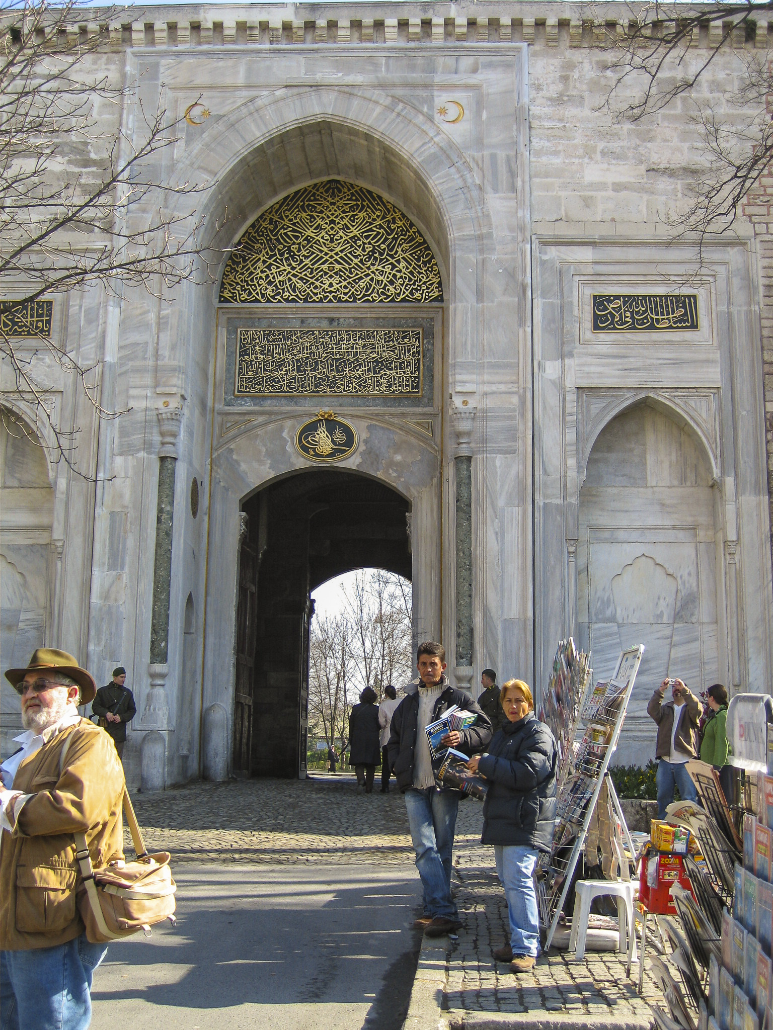
Main entrance to Topkapı Palace., leading to the First Courtyard. Guarded by Al Treder, at left.

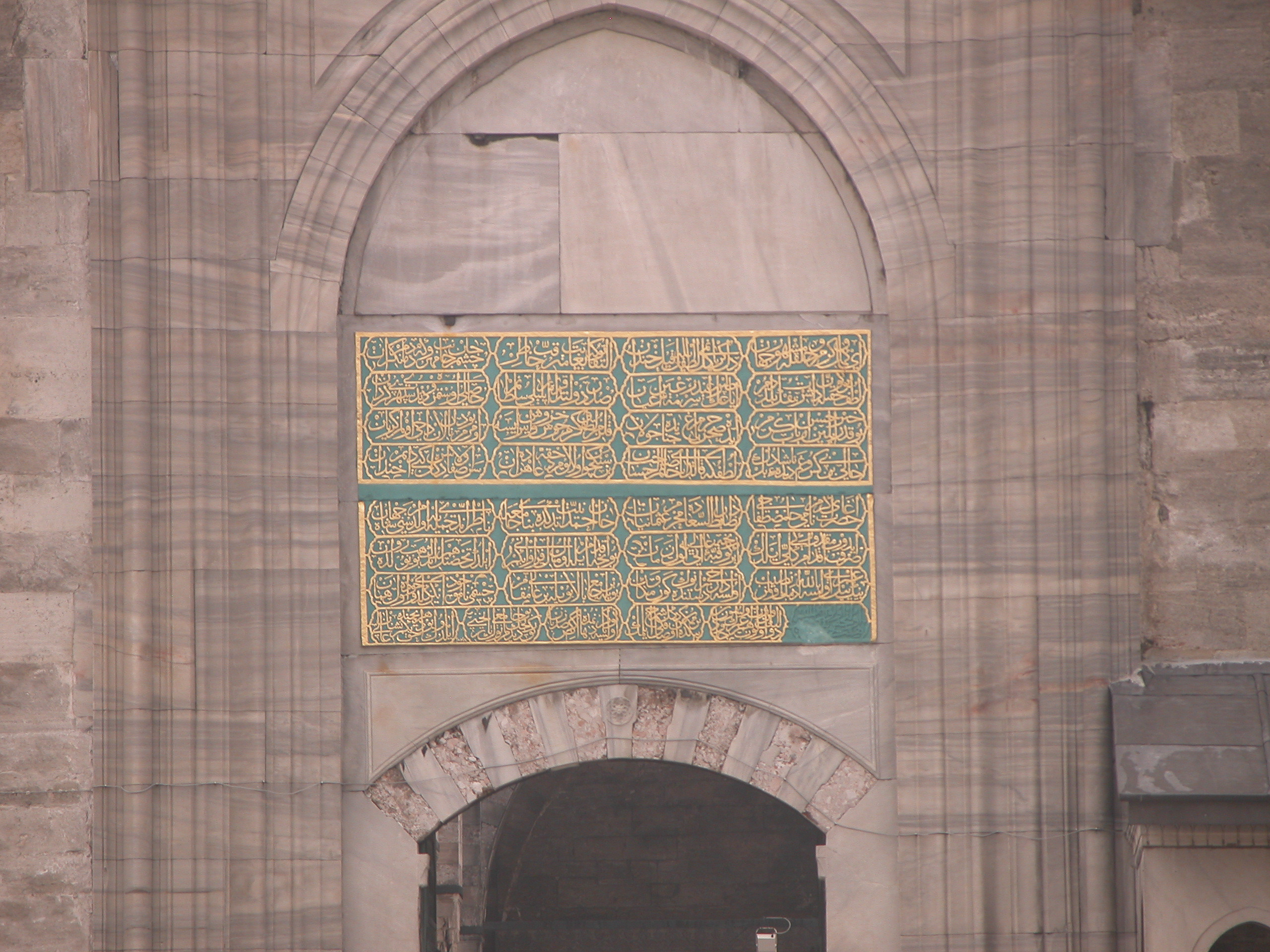
The Bâb-ı Hümâyûn is adorned with verses from the Qur’an and tughras (calligraphic monograms) of the sultans in gilded Ottoman calligraphy. The tughra on the archway is that of Sultan Abdülaziz, who renovated the gate in the 19th century.
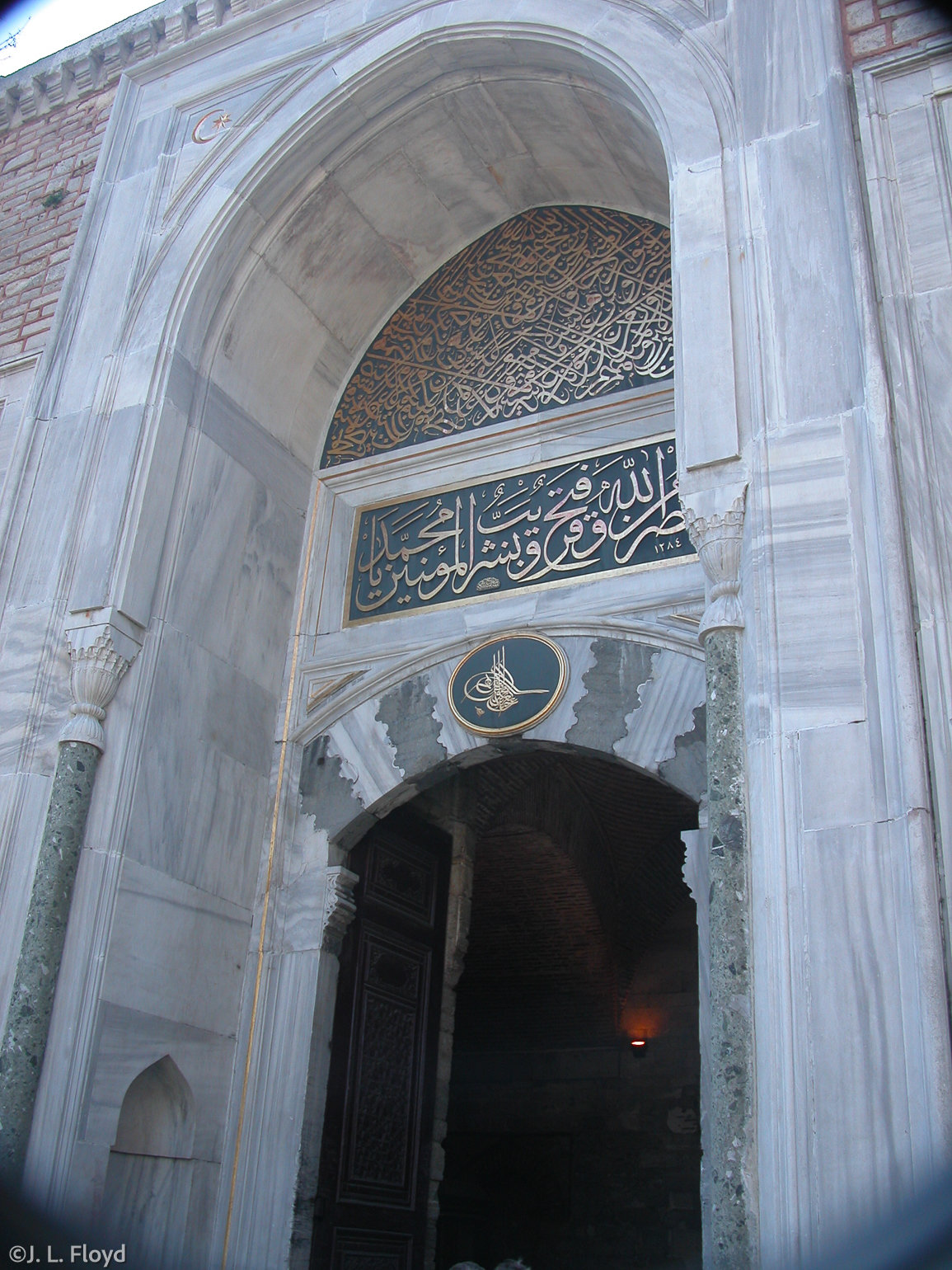
A closer view of the Imperial Gate.

The protection of verses from the Qur’an was reinforced by Turkish Green Berets. Some years after our visit, on November 30, 2011, a Libyan terrorist attempted to emulate the achievements of the Norwegian madman Anders Breivik, who killed 77 people on July 22 of that year, by attempting to stage a similar massacre in Topkapı Palace. He got no further than the Bâb-ı Hümâyûn, where the guards, observing that he carried two hunting rifles, stopped him. However, he did succeed in wounding the two guards at the gate and evading them briefly, until he encountered other guards, who drove him back to the gate, where he hid out until a Turkish SWAT team arrived and put him out of his misery. After that incident, additional security measures were implemented, though I haven’t been able to find out the details. The contrast between this outcome and the Norwegian massacre illustrates the principle that if you’re a terrorist who likes to murder innocent people, you may want to consider operating in some country other than Turkey.
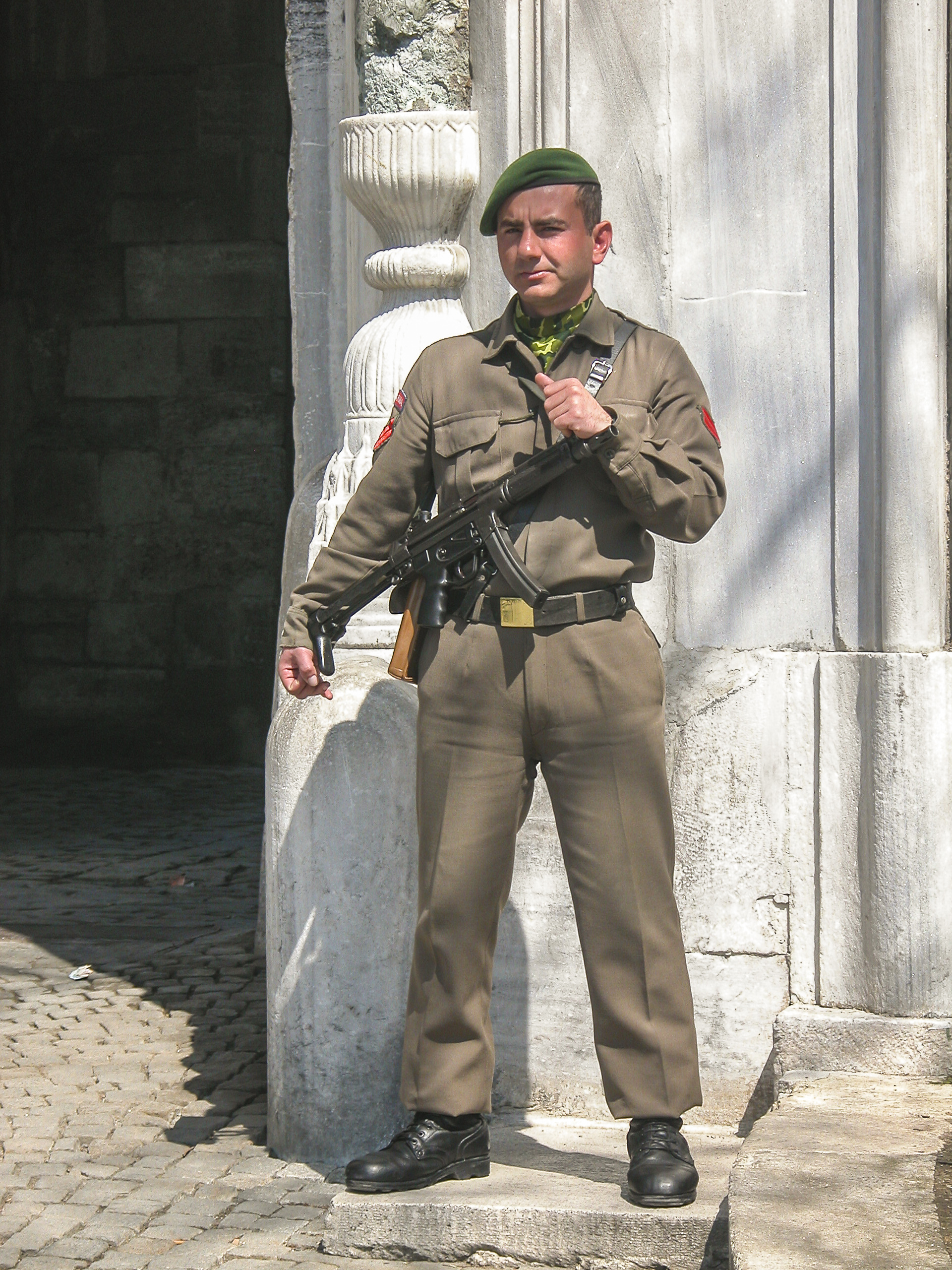
A Turkish Green Beret stands guard at the Bâb-ı Hümâyûn.

Passing through the Imperial gate, we proceeded down a pleasant tree-lined lane through the First Courtyard toward the Gate of Salutations, the entry to the Second Courtyard.
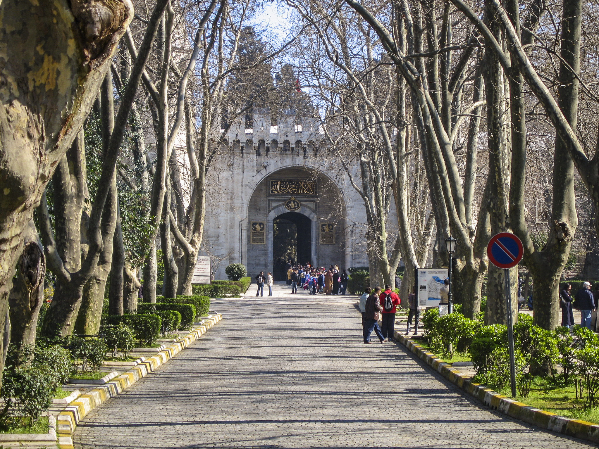
Looking back along its tree-lined main avenue toward the Imperial Gate.

On the left while passing through the First Courtyard, one encounters the Basilica of Hagia Irene, the original of which was completed in the reign of Constantine the Great. However, like much of the rest of the city, it burned down in the Nika riots of 532 and had to be rebuilt. It has been restored several times since. It was one of the few Christian churches not converted into a mosque after the Turkish conquest; instead the Ottomans used it first as an arsenal, later converting it into a military museum, which it remained until 1978. At that time it was turned over to the Ministry of Culture, and nowadays it is used as a concert hall in addition to serving as a museum in and of itself.
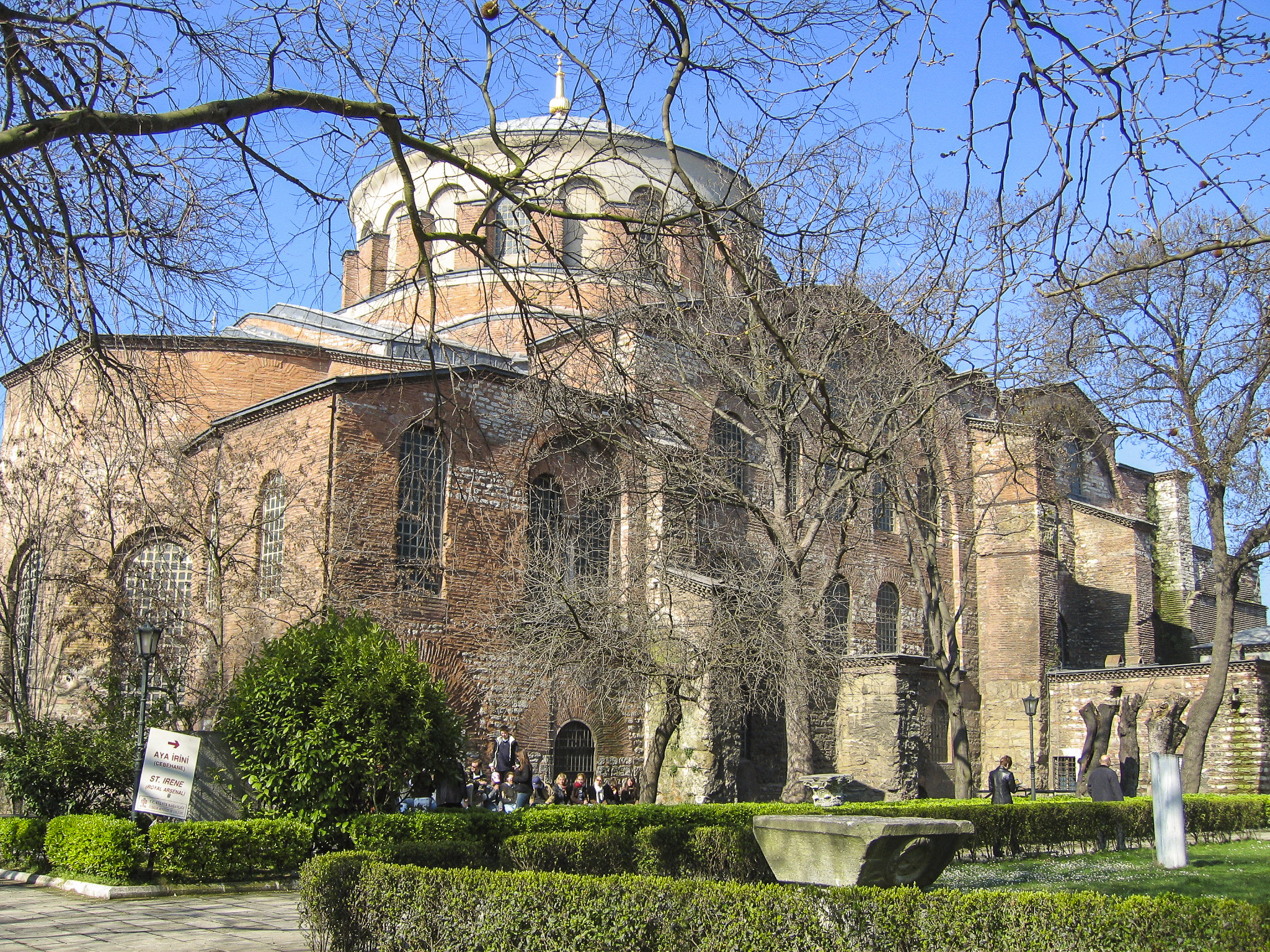
The Church of St. Irene, originally built in the 4th century, burned down in 532 and rebuilt in 548, now open as a museum and, because of its extraordinary acoustics, as a concert hall.

If one turns to the right after emerging from the Imperial Gate, upon reaching the courtyard wall one encounters the Fountain of the Executioner. According to legend this is the place where the Sultan’s headsman washed the blood off his sword and hands after lopping off a victim’s head. I have not been able to verify whether this legend is true. As far as I know, the Sultans preferred to execute people by having them garroted.
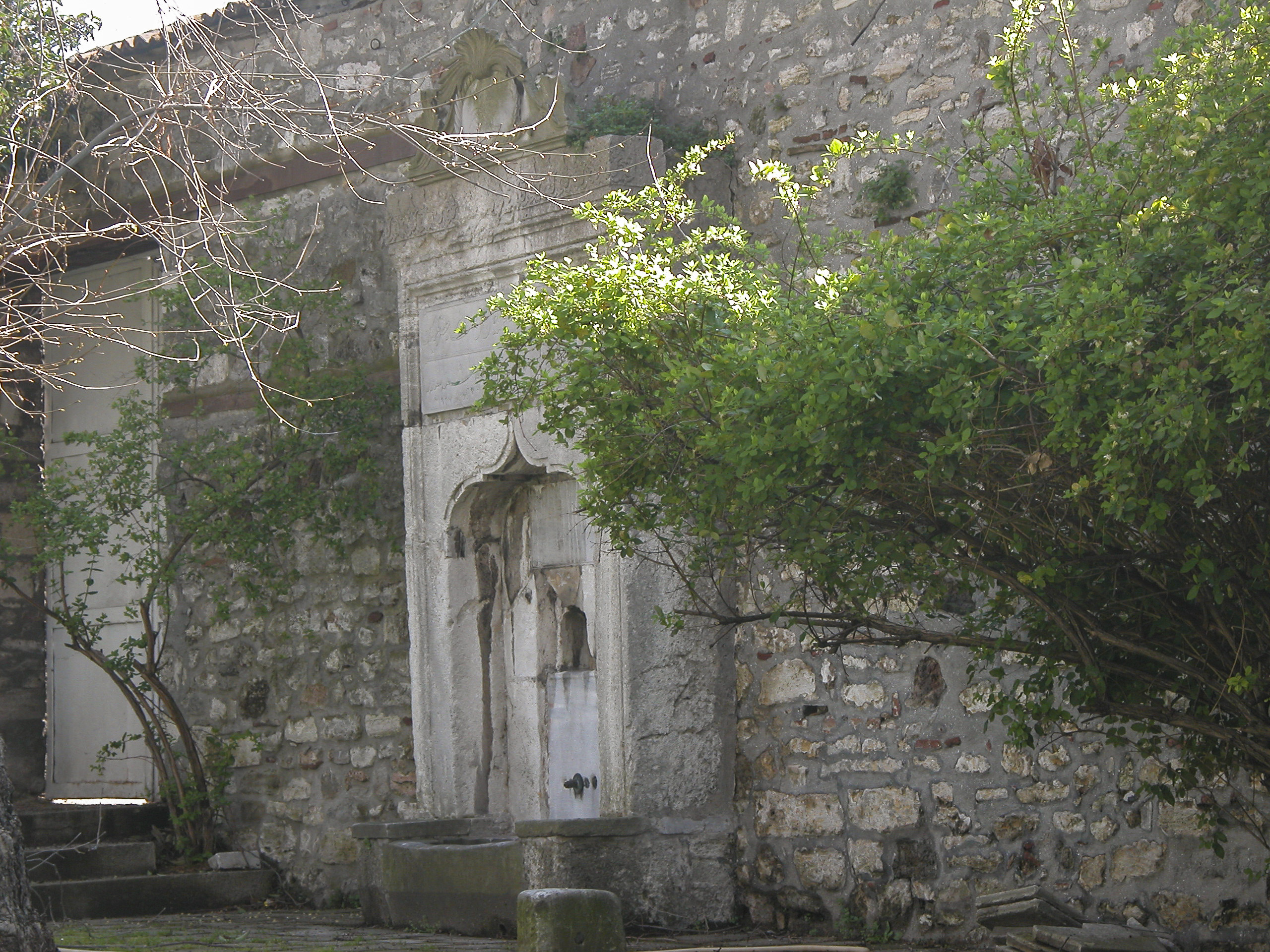
The Fountain of the Executioner.

Traversing the First Courtyard, one arrives at the Gate of Salutations, or Middle Gate, leading to the Second Courtyard (also known as Divan Square) and the Palace proper. Only the Sultan (and, according to some sources, his mother, though I’m not sure that the palace women actually rode horses) was allowed to pass through this gate on horseback; everyone else had to walk.
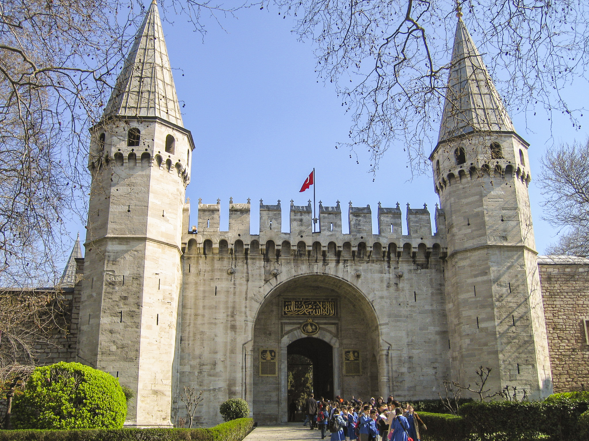
Gate of Salutations, Topkapı Palace

On the south side of the Second Court are the palace kitchens, to which we proceeded first after passing through the Gate of Salutations. The kitchen area constituted almost a palace in itself, incorporating not only food storage and preparation areas but also dormitories, baths, and a mosque for the cooks, a harem (whether for the cooks’ families or the female servants, or both, I don’t know) and even a school.
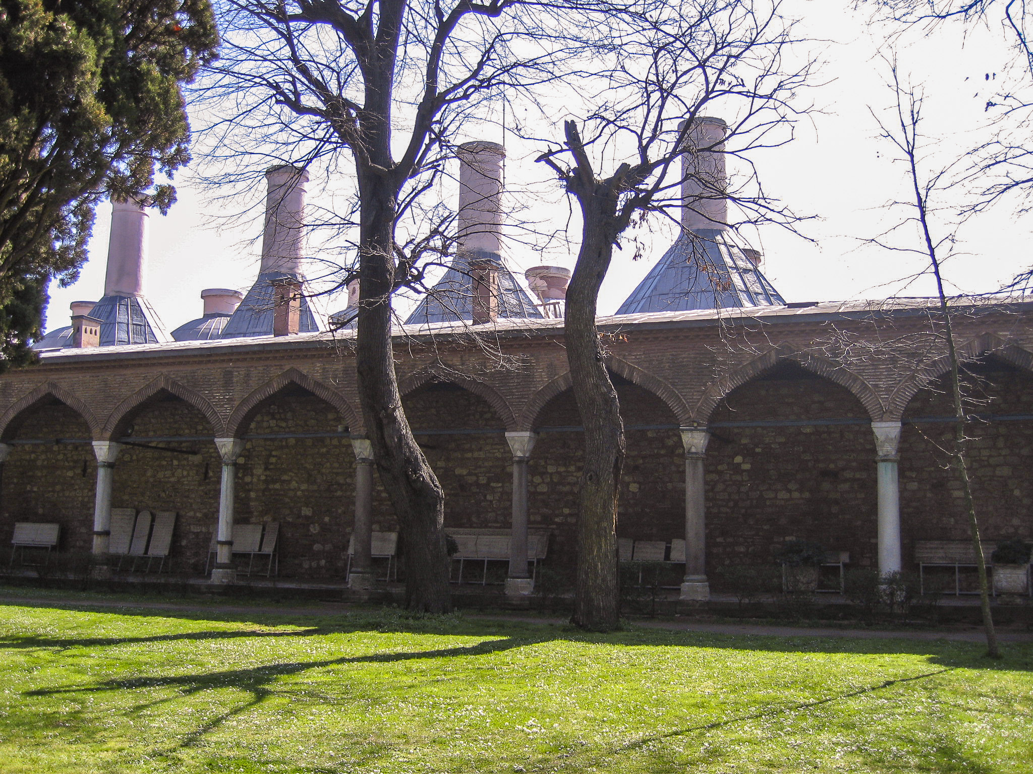
The kitchens had 20 chimneys in two rows.

The kitchen complex contained ten domed buildings, arranged in two rows with a narrow street or courtyard separating them. It was originally built in the 15th century and expanded during the reign of Suleiman the Magnificent. Heavily damaged in a fire in 1574, the complex was then remodeled by the court architect, Mimar Sinan.
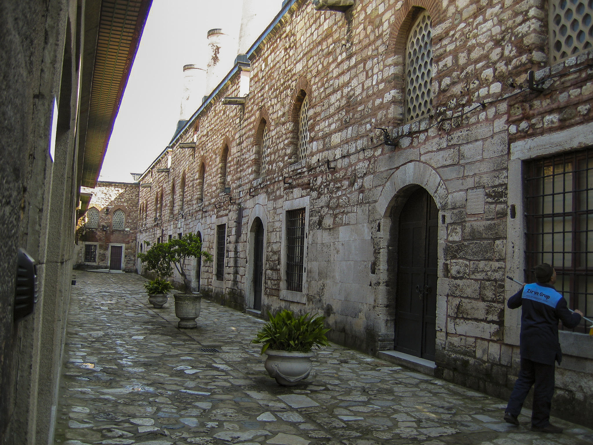
In these kitchens, a staff of 800 prepared meals for over 4000 people.

Nowadays, the kitchens are not used to prepare food but to house museum exhibits. These include a collection of tens of thousands of pieces of fine Chinese, Japanese and European porcelain. I neglected to photograph the porcelain because there was too much to do it justice in the time we had, it was too hard to decide which pieces to photograph, the exhibit rooms were dark and flash photography was not allowed. Sandie did take some shots of the porcelain, but they came out very blurry, so I haven’t posted them here.

There was also a wonderful collection of silver in the form of gifts presented to Sultans over the years, and I did have some success shooting a few of them. One was this exquisite replica of the Fountain of Sultan Ahmet III located near the Imperial Gate.
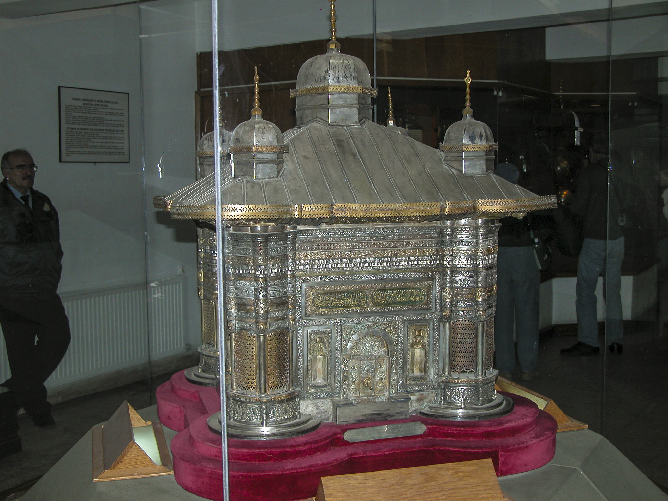
Items in the silver collection dated from the 16th century to the end of the 19th, but most were from the late 19th.

I love maps in general, and I was mightily attracted by this silver globe. I wanted to take it home with me, but the museum guards were unenthusiastic about that idea.
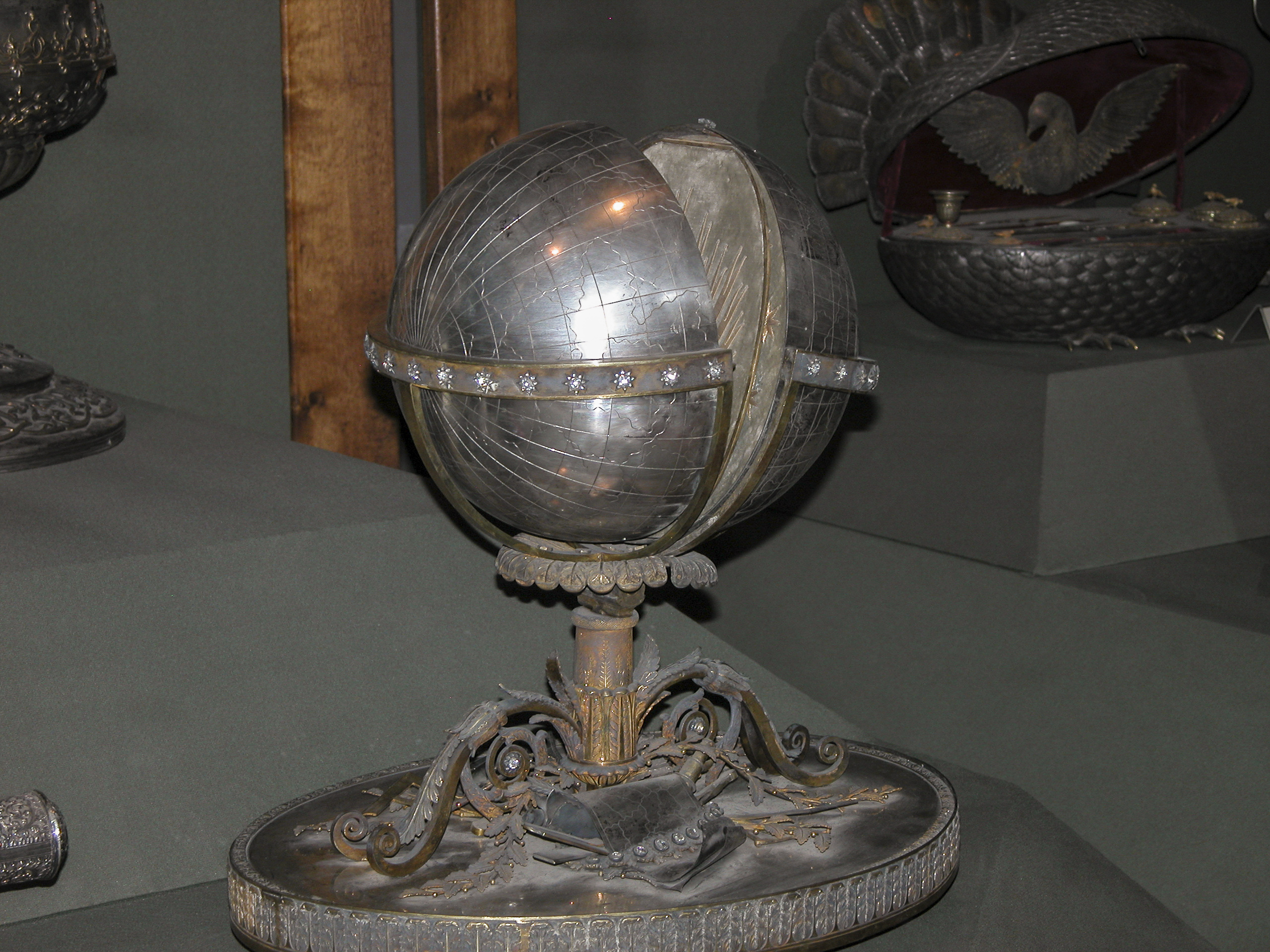
Some of the pieces in the silver collection were made in the Imperial Mint, some in other workshops attached to the palace, and some were presents from European diplomats.

I also favored this vessel (chalice? bowl? I’m not sure what to call it) presented to Sultan Abdul Hamid II on the 25th anniversary of his accession to the throne, in 1901, by whom I don’t know.
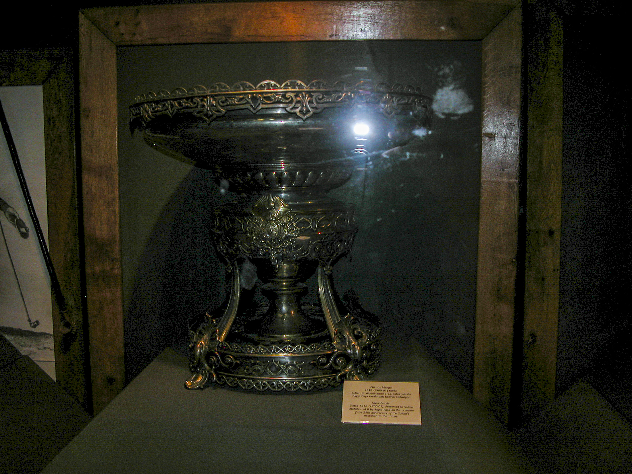
Presented to Sultan Abdul Hamid II on the 25th anniversary of his accession to the throne (1901).

My favorite item in the silver collection was a gilded bird cage which reminded me of some lines from the Rubaiyat of Omar Khayyam:

Come! And in the fires of spring
The Winter Garment of repentance fling;
The Bird of Time hath but a little way to fly,
And Lo! The Bird is on the Wing!
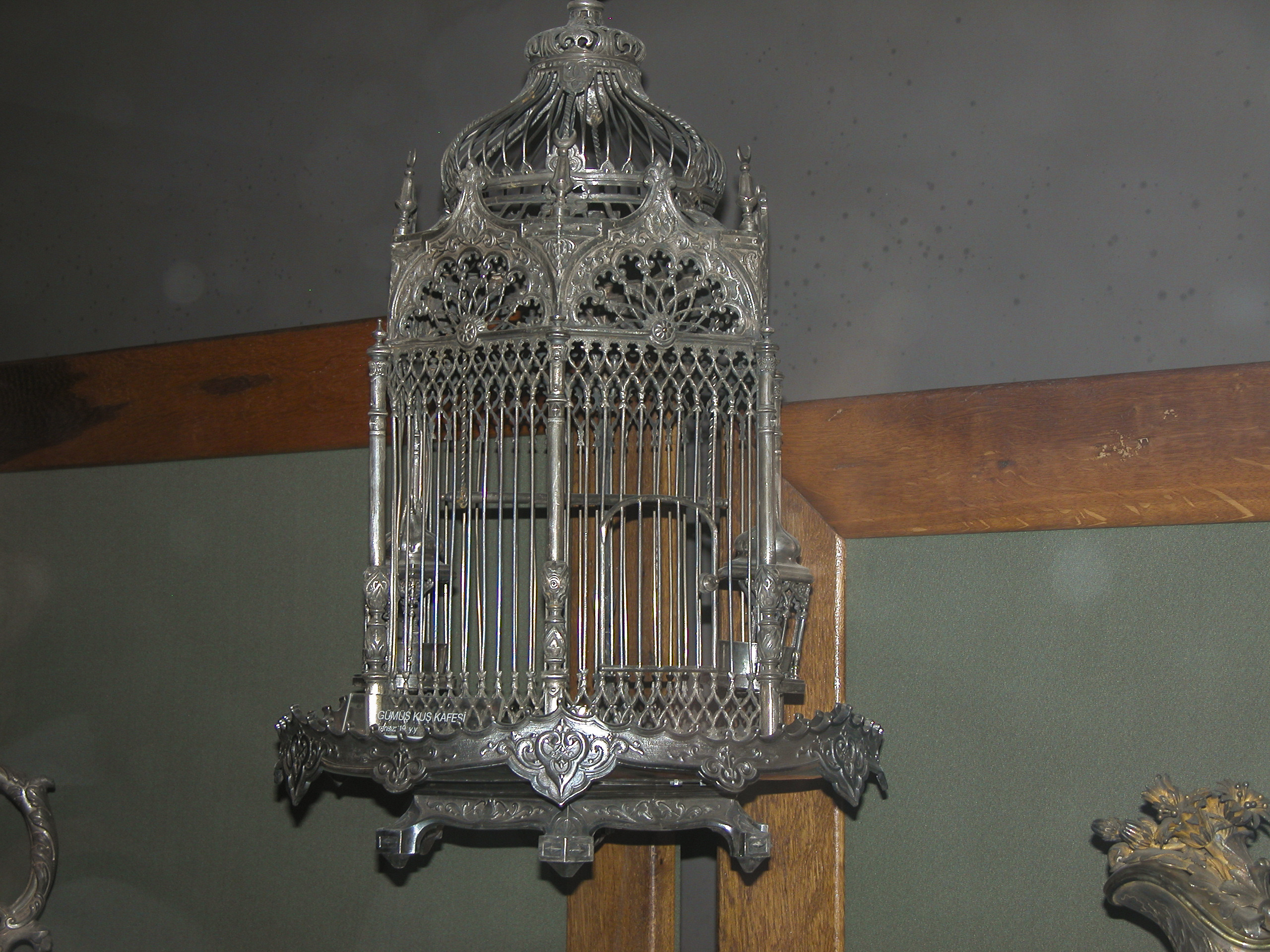
But the bird of time hath flown.

Somewhere in the kitchens, if I remember correctly, we also encountered this map showing how the Ottoman Empire expanded from its early days at the beginning of the fourteenth century CE, when it occupied just a small area of Anatolia and the Balkans (solid deep red patch), to the conquest of the former Byzantine Empire in the Balkans and Anatolia in the fifteenth (red diagonal striping), and thence to control most of the Near East and North Africa, not to mention Hungary, Transylvania and Moldavia in the fifteenth (pink diagonal striping) – and also how it contracted in the twentieth as it became transformed into present-day Turkey (inset). Sic transit gloria mundi.
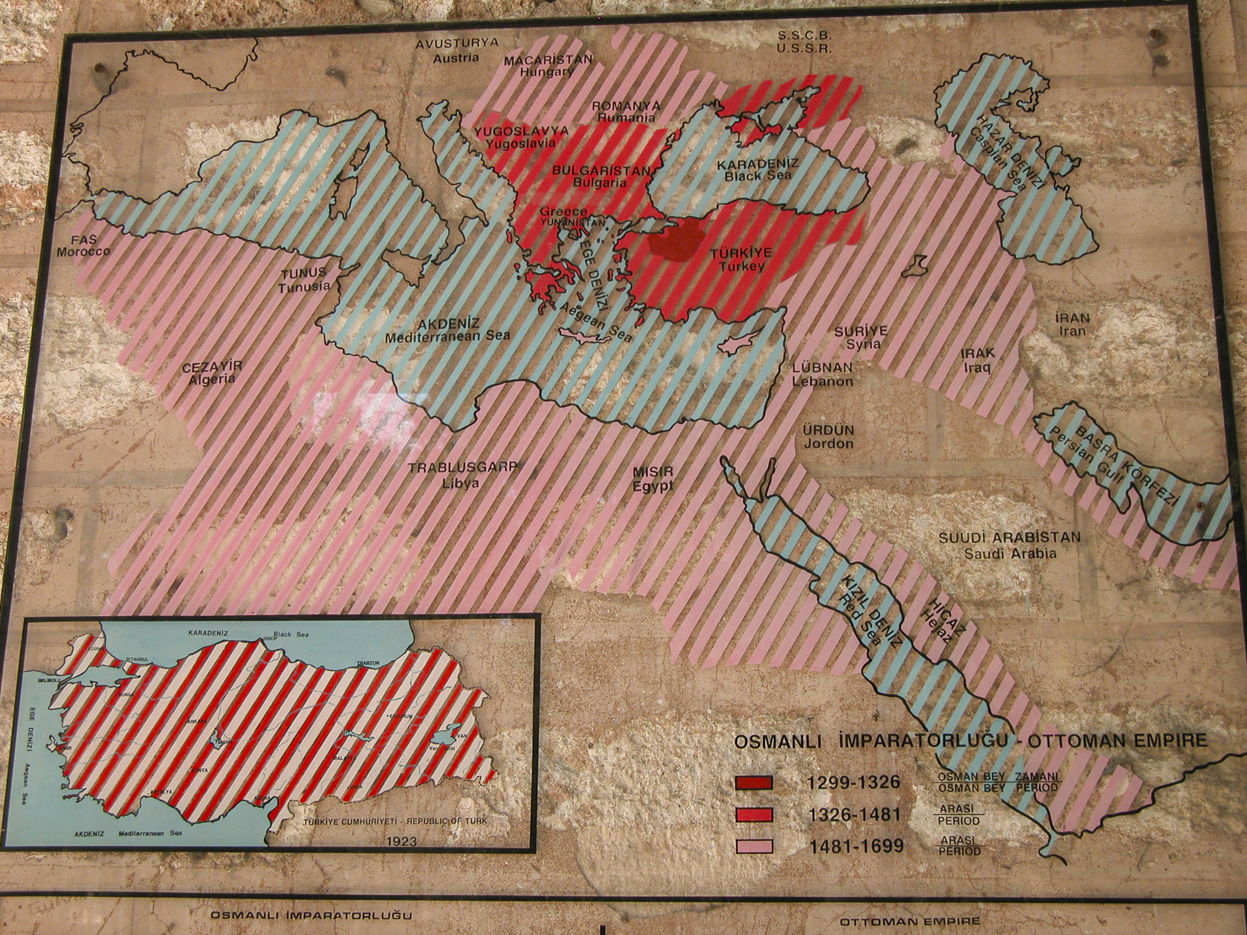
Map illustrating how the Ottoman Empire expanded from its early days, when it occupied just a small area of Anatolia and the Balkans, through the 17th century, when it reached its greatest extent. Note that in Turkish the name is “Osmanli,” after Osman, the founder; “Ottoman” is a Western corruption.

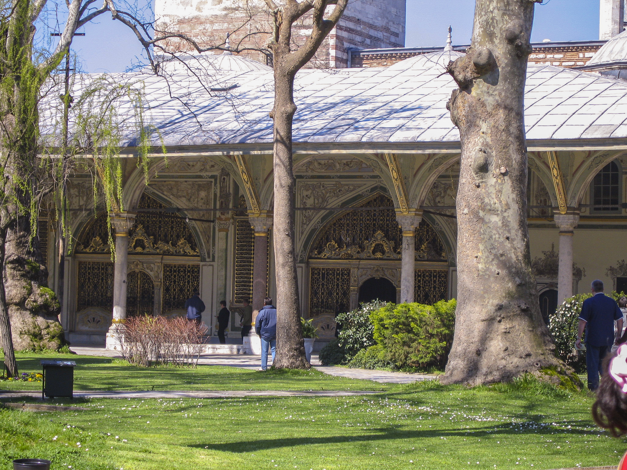
On the north side of the Second Court, opposite the kitchen complex, stand a very different set of buildings, of which the most important is the Imperial Council Chamber. This was the setting for the chief deliberative body of the Ottoman government, the Dîvân-ı Hümâyûn, composed of the Grand Vizier (a kind of prime minister) and the other ministers of the crown. It is usually just referred to as the Divan.
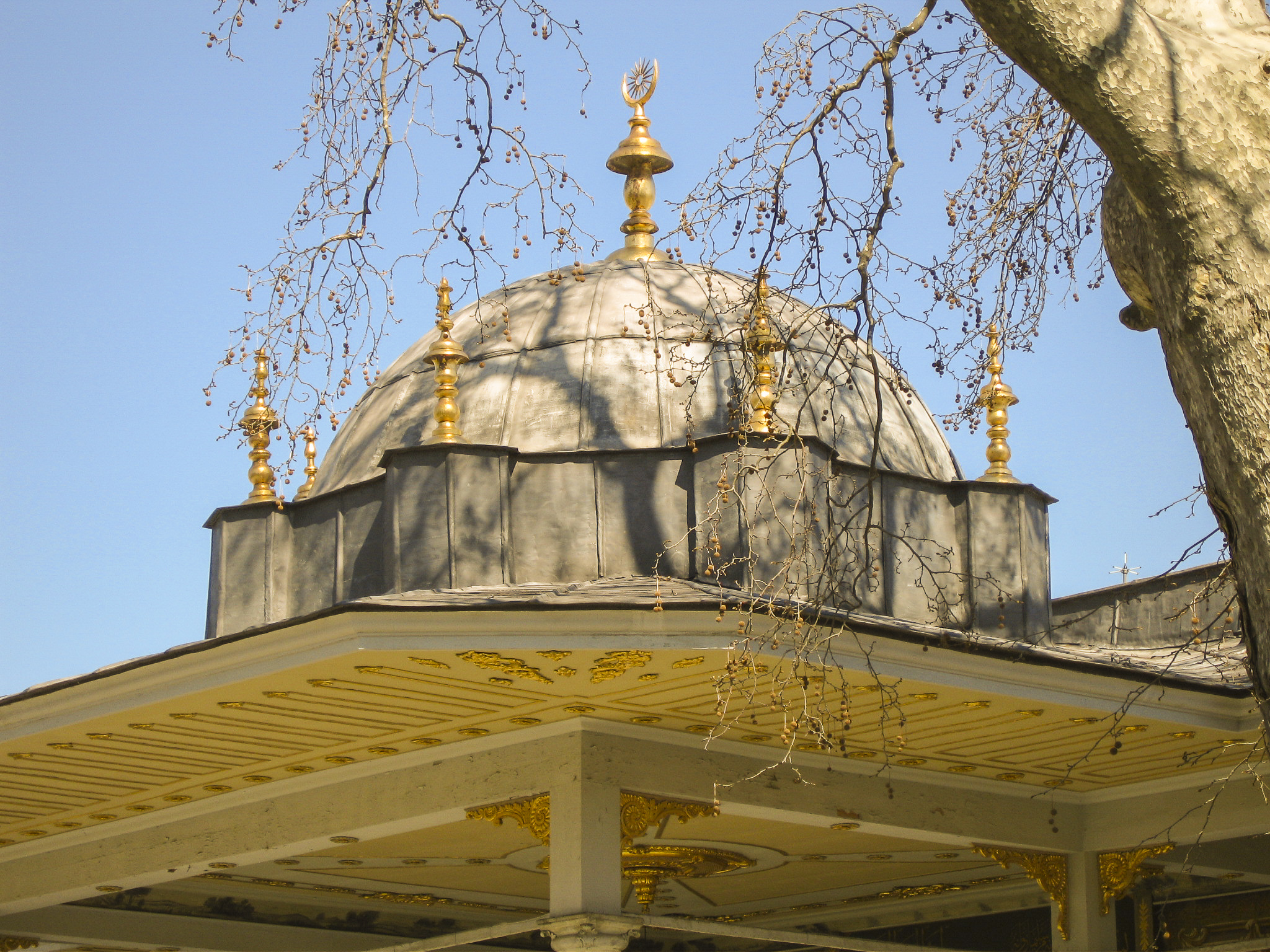
The Imperial Council building had three chambers, each crowned with a dome.

The present Imperial Council building dates from the reign of Suleiman the Magnificent, but was rebuilt and remodeled many times thereafter, so it represents an amalgam of styles.
Gilded gates and grilles admit visitors and light into the Imperial Council building.

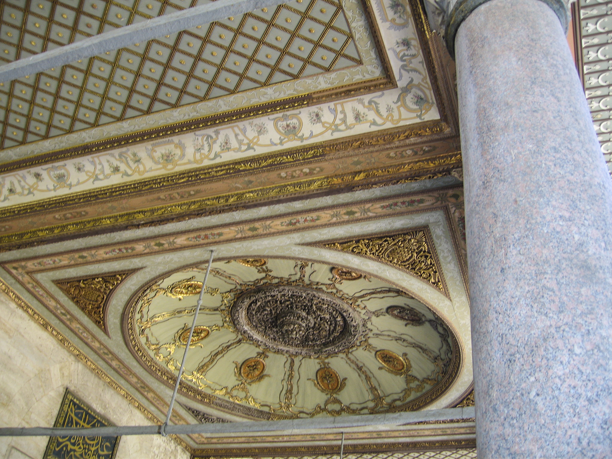
There are several entrances to the council hall, both from inside the palace and from the courtyard. The main courtyard entrance, through which we entered, is shown below. The marble and porphyry pillars holding up the porch are associated with the period of classical Ottoman architecture, while the rococo grilles and the wall and ceiling decorations are in the later rococo style of the 18th century.
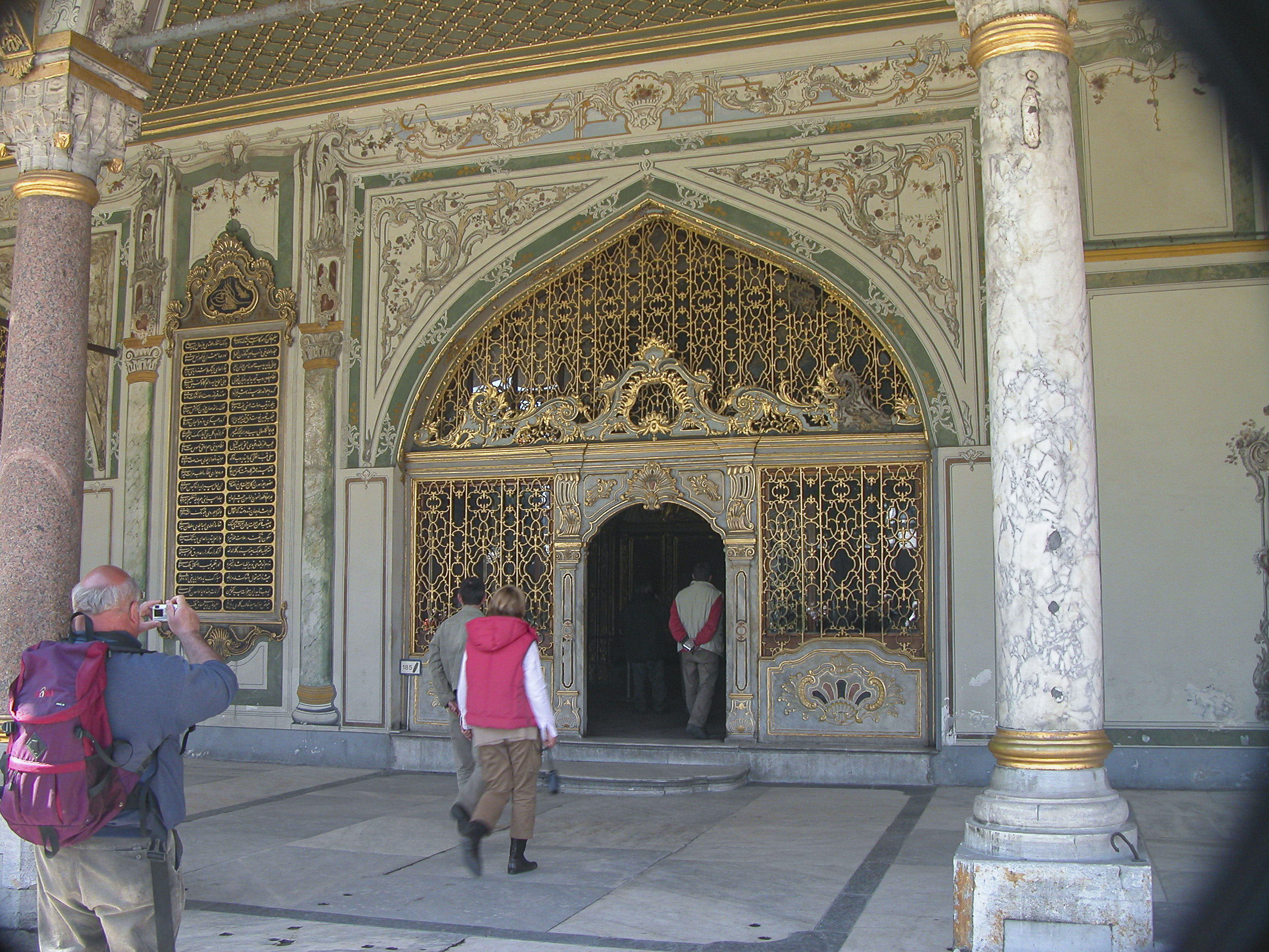
Gilded gates and grilles admit visitors and light into the Imperial Council building.

A close-up view of the golden grilles reveals that they allow light and air to pass freely into the Council rooms, and a person standing outside could easily observe and hear the discussions of the Divan inside while not being able actually to enter the building. This satisfied a legal requirement that Council sessions be open to the public.
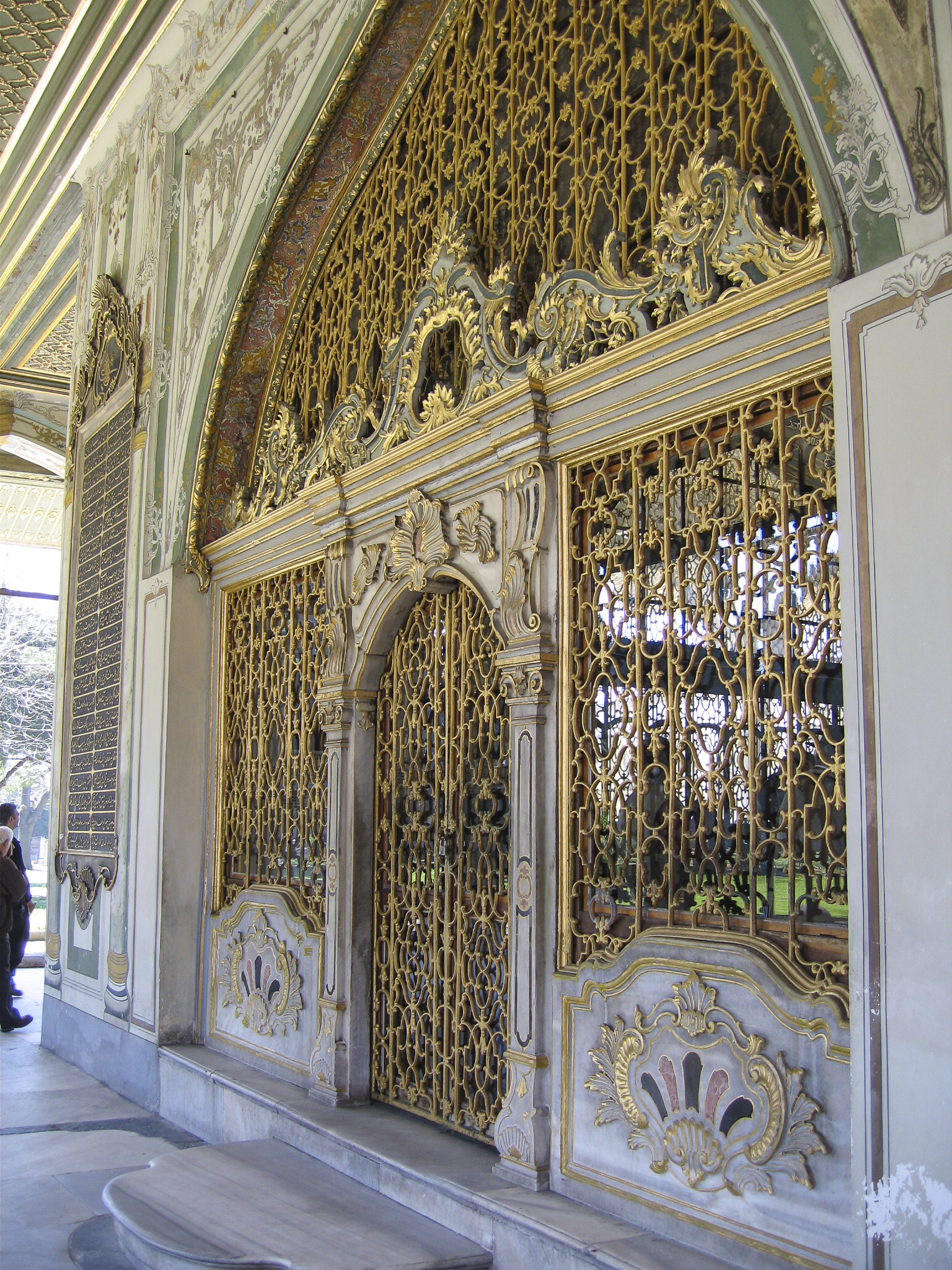
The latticed grilles satisfied a law requiring that Divan sessions be open to the public.
I especially enjoyed the rococo ceilings of the porches of the Council building. The ugly hanging pipes are presumably a modern addition – a safeguard against the fires which devastated many parts of the palace in previous times.

The Divan building has three main chambers, each with its own dome: the Kubbealtı, where the Divan actually met; the secretariat, where the clerical staff worked; and the Defterhane, where the archives were stored. The domed ceiling of the Kubbealtı is framed in the photo below.
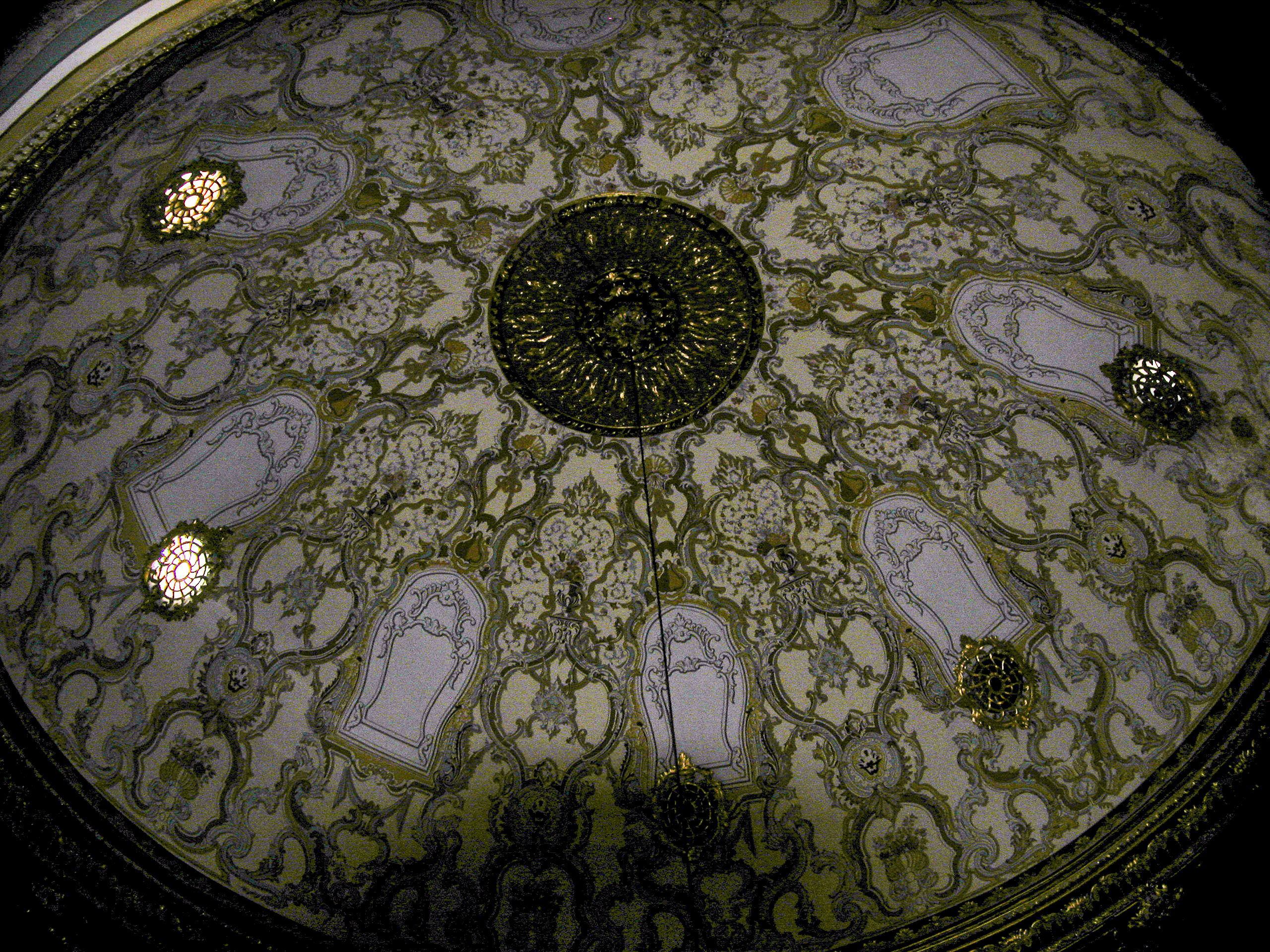
Domed ceiling of the Kubbealtı.

To be fully appreciated, the domed ceilings have to be viewed in the context of the supporting walls and arches; taken together, they impart an overwhelming atmosphere of opulence.
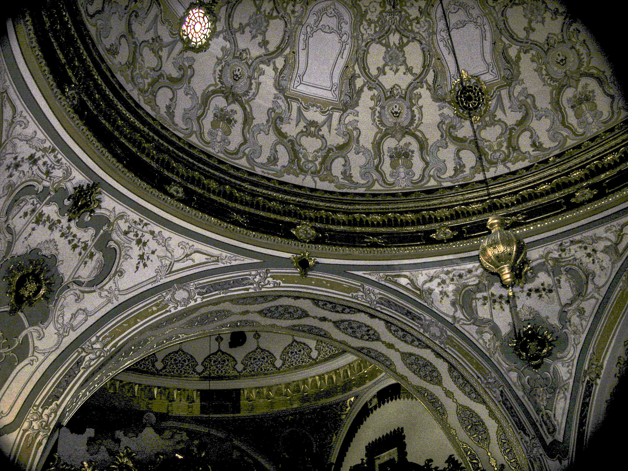
Domed ceiling and supporting walls and arches of the Kubbealtı, with a peek into the next room.

At one end of the Kubbealtı was a grille-covered window (kasr-ı adil) which overlooked the chamber; behind it was a loggia connected by a passage to the adjoining Tower of Justice, and thence to the harem. The Sultan, or his mother, the Valide Sultan, who was often the most powerful person in the palace next to the Sultan himself, could sit in the room behind the window and secretly monitor the Council’s sessions. Suleiman the Magnificent is said to have particularly favored its use.
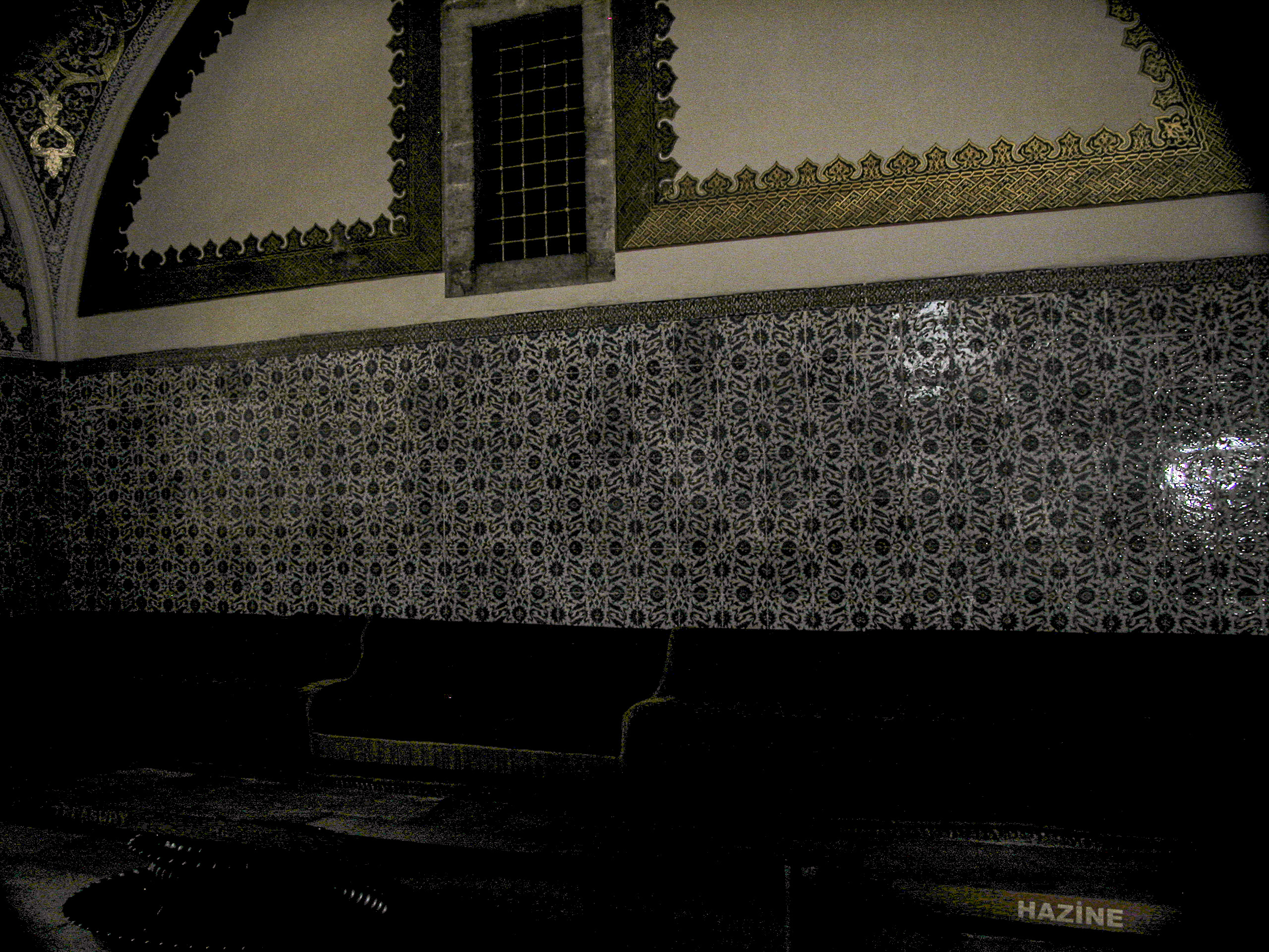
The grille-covered window from which the Sultan could watch the proceedings of the Divan without being officially present.

Next to the Kubbealtı was the room where the secretaries did their work; its lower panels were workaday in comparison with the Kubbealtı, but the upper walls and dome were just as lavishly decorated.
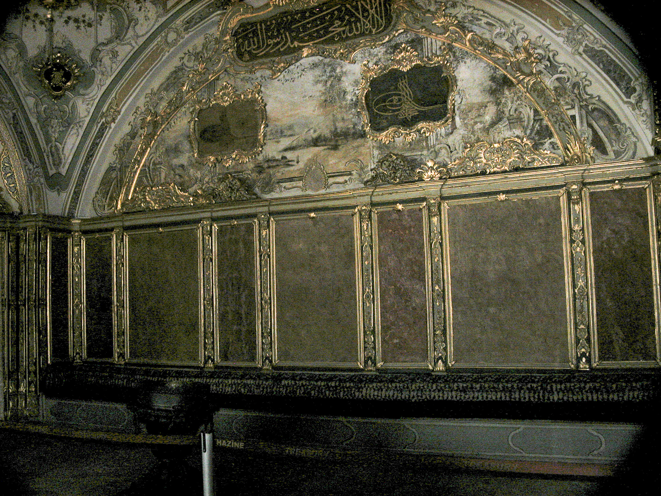
The Secretariat.

For many years the Divan was the main executive body of the Ottoman Empire, overseeing both foreign and domestic affairs, and acting as a court of law as well. Its heyday lasted from the 14th to the first half of the 17th centuries, after which its importance began to decline, its powers being increasingly assumed by the Grand Vizier. In 1654 a new building was built, outside the Topkapı Palace, to serve as the residence and offices of the Grand Vizier. Like the Palace, this building had a monumental gate, and thereafter that building together with its gate became the new Sublime Porte. (The building now houses the offices of the Governor of Istanbul.) In the late 18th century, the Divan lost all its importance, and in the early 19th government reforms did away with it altogether. However, even as these developments were taking place, repair and remodeling of the Council building continued; the rococo wall and ceiling decorations seen below probably date from the renovations of 1792 and 1819.
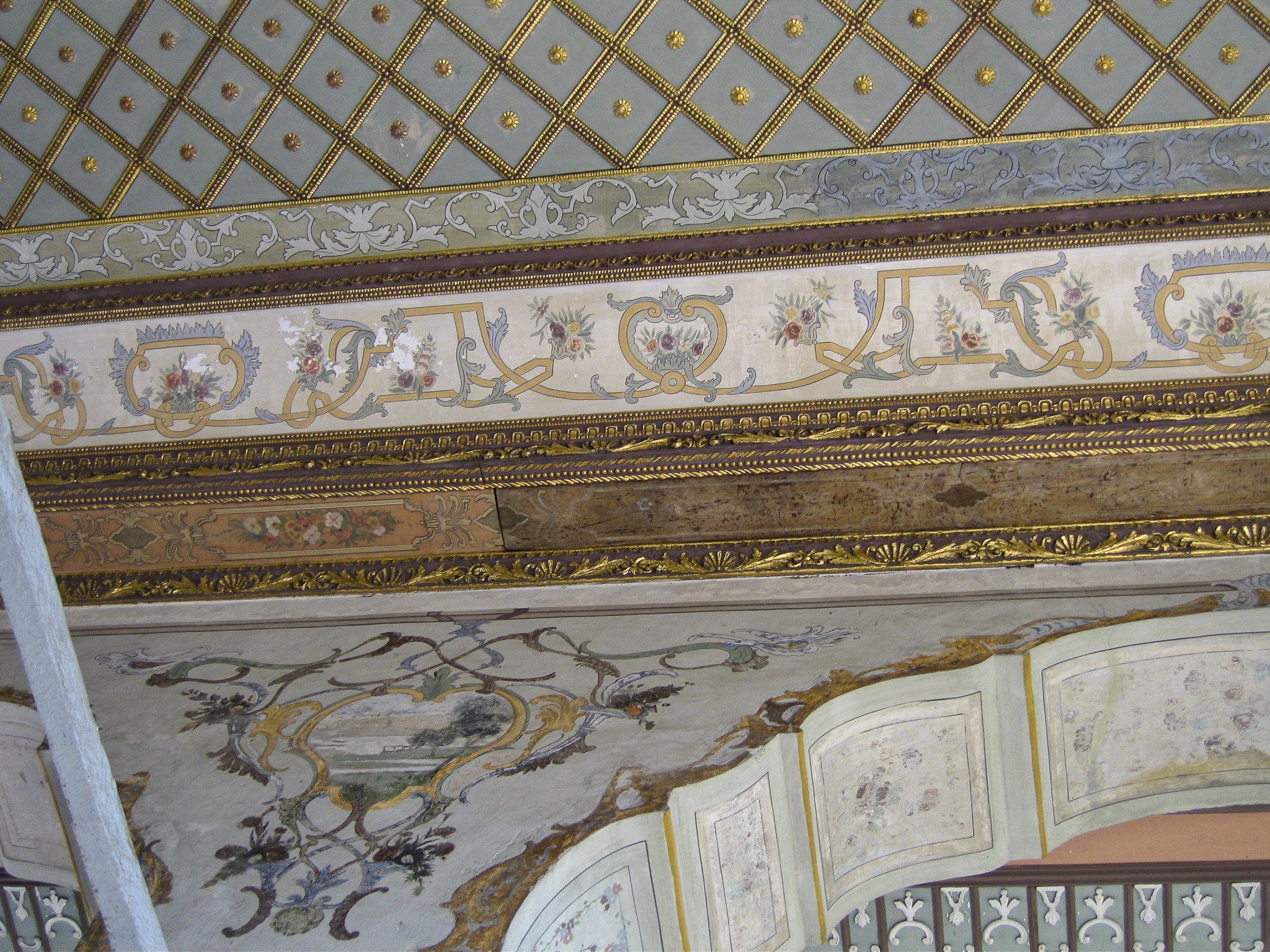
Intricately patterned rococo ceiling and wall decorations of the Divan building.

The Tower of Justice (Adalet Kulesi), located between the Council Chamber and the Harem, is the tallest structure in the palace. From what I can gather it was built by Sultan Mehmet II and apparently served as the council chamber until Grand Vizier Ibrahim Pasha had the Imperial Council building constructed in the 1520s.
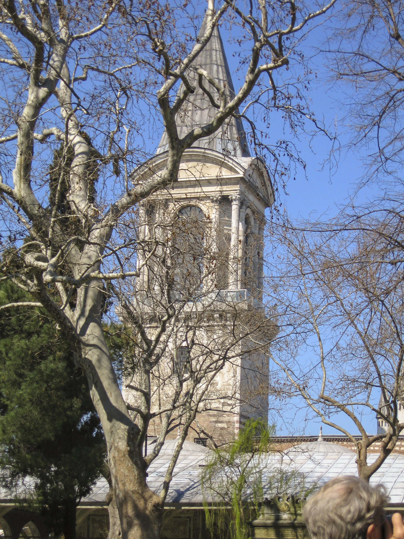
The Tower of Justice (Adalet Kulesi).

As we passed through the courtyards, we noticed a number of huge old trees that appeared to have lost most of their foliage and become hollow, as if they were dead. It turned out that they have fallen victim to a fungus that has completely hollowed out their trunks, yet they somehow survive and remain standing.
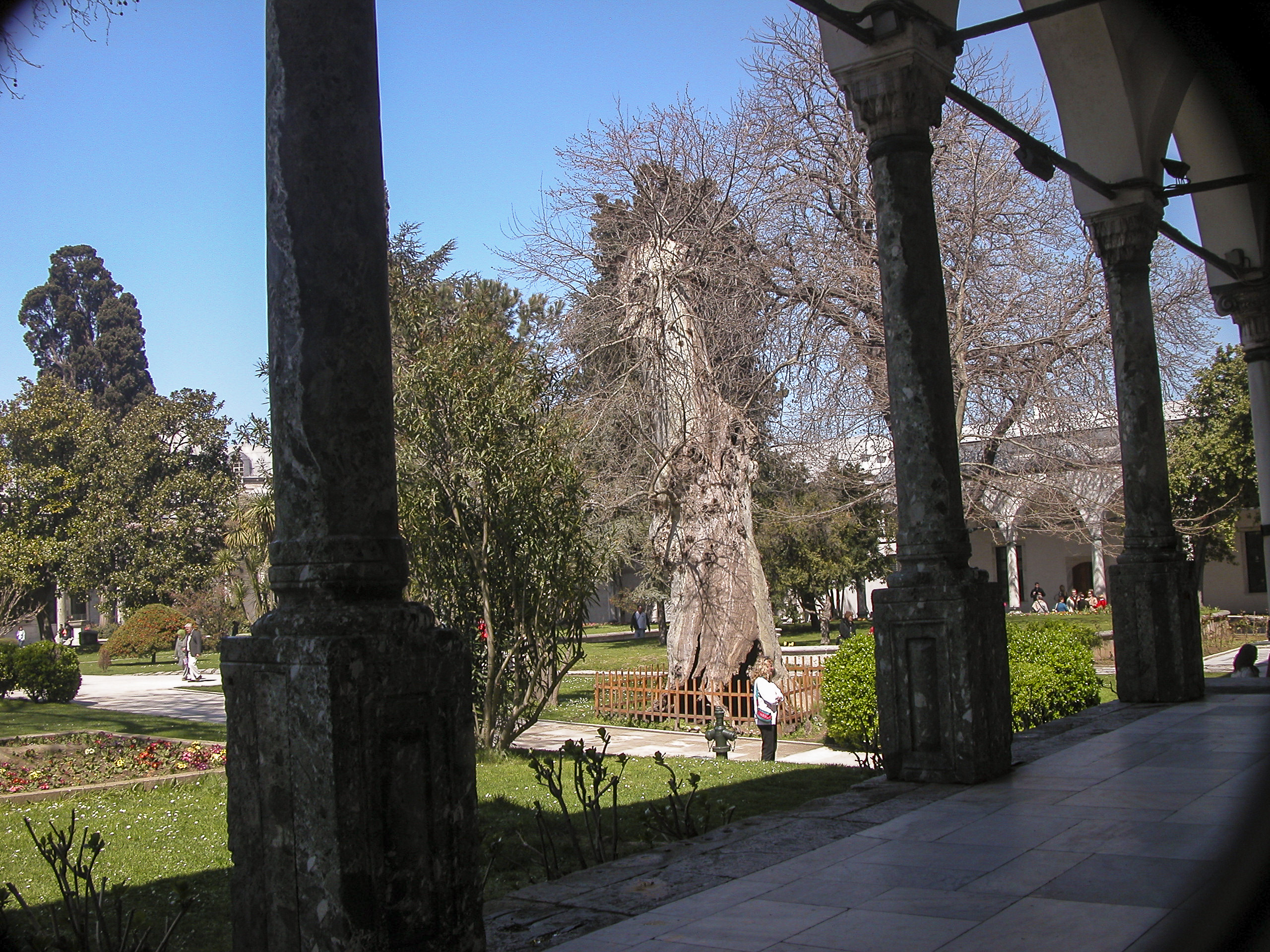
Many of the trees in the palace courtyards have been ravaged by fungi which hollow them out but do not kill them.

Years after visiting the Topkapı Palace, I read that in the Second Court there are cases where two trees of different species have grown together and effectively fused into one, without human intervention. Although Sandie probably wasn’t aware of it when she took the picture, the tree in the photo below appears to be one such self-grafting pair.
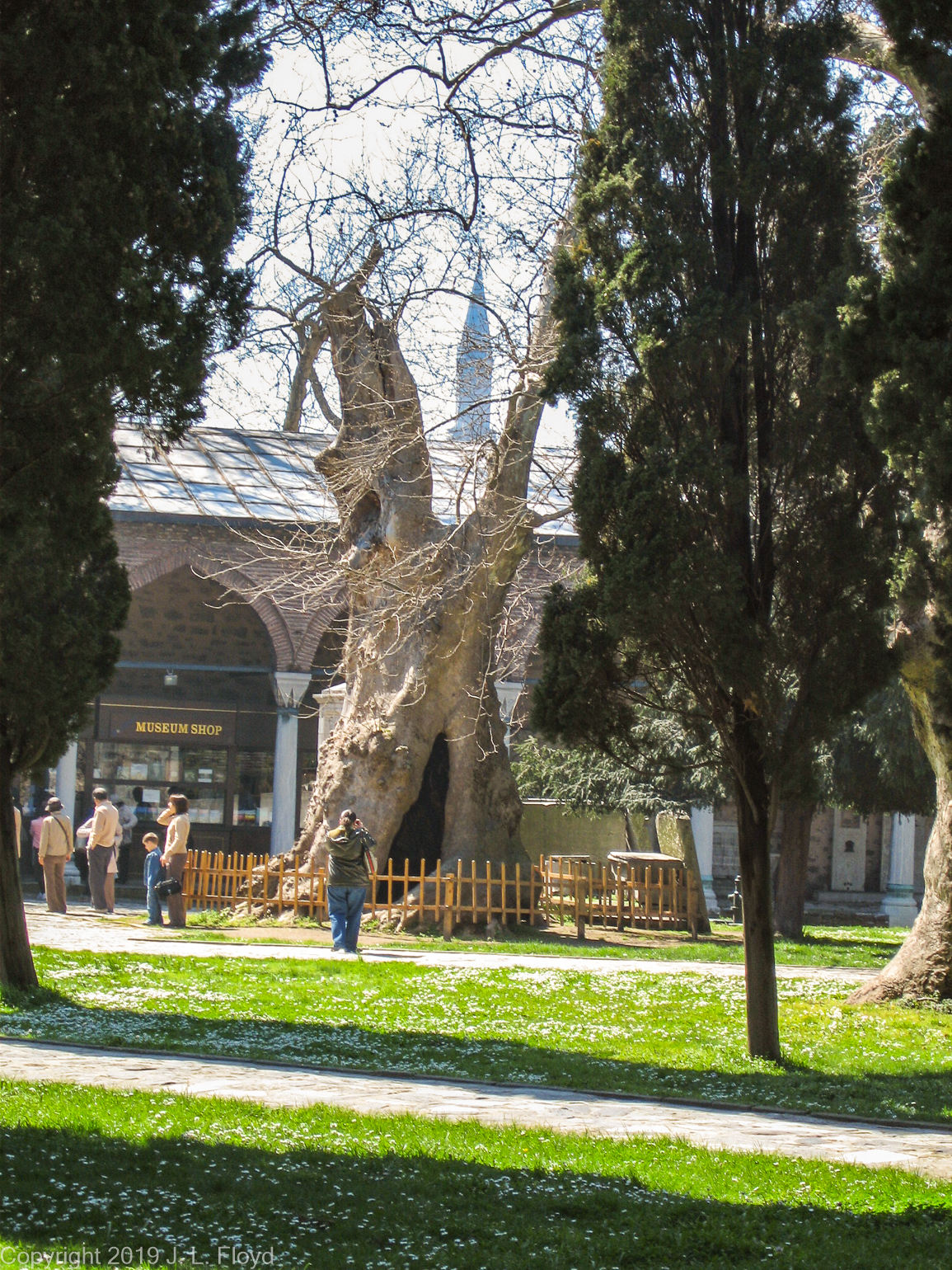
Sandie shot this picture of trees grafting together in the Second Courtyard.

Next we explored the Third and Fourth Courtyards and the Harem, but for that you’ll have to see the next post.
Categories
Turkey, March-April 2006

Istanbul, March 30, 2006: Beyoğlu

Our first day in Istanbul was a whirlwind—up early, bus to Antalya, flight to Istanbul, Kandilli Observatory, the Blue Mosque, the Basilica Cistern, the Firça El Sanatlari Merkezi—by dinnertime we were mostly exhausted and ready for a full night’s sleep. But some of us had enough energy left to take an evening stroll after dinner. We didn’t go far, but we did get to explore a wee bit of the historic district in which our hotel was located.

The district now known as Beyoğlu was originally called Galata and later Pera, during the Byzantine period, when it became a base for merchants from Western Europe, mostly Venice and Genoa. In 1348 the Genoese built the Galata Tower, still the most prominent landmark in the area. After the Turkish conquest of Constantinople in 1453, Pera continued to be the foreign quarter and eventually came to house the embassies of several foreign countries. These all became consulates when Ankara became the capital of Turkey in 1923. The Russian consulate, for example, is located next door to the Hotel Richmond, far from the Basilica Cistern on the other side of the Golden Horn, which is why James Bond couldn’t have broken into the consulate that way. He would have done better to stay at the Richmond and tunnel through its basement to get into the consulate.

In the late Ottoman period, because of the foreign presence, Pera was the most modern part of Constantinople, the first to have electricity, telephones, streetcars and even a subway (built in 1875). It was also noted for its cosmopolitan cultural atmosphere, with theaters, cinemas, cafes, banks and elite schools all contributing to the amalgam.

In the twentieth century Pera, now known as Beyoğlu, went into decline for a time, but by the beginning of the 21st gentrification had set in and at the time of our visit it was again at the top of its game.

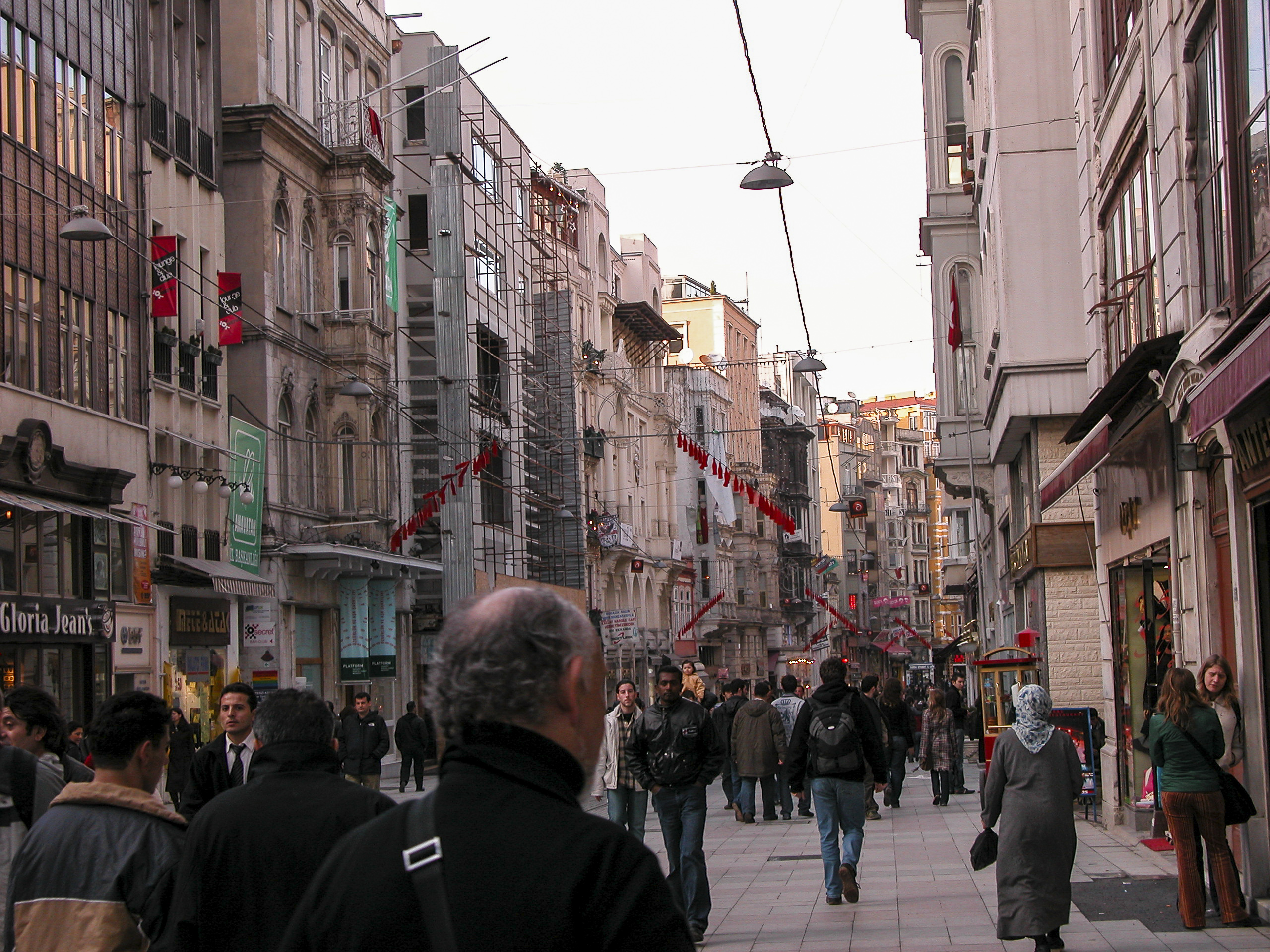
The historic main thoroughfare of Beyoğlu is Istiklal Street, which runs from Taksim Square most of the way to Galata Tower. It is closed to vehicular traffic, with one exception, and for that reason our tour bus could not pick us up in front of the hotel; we had to walk a few steps through an alley to a boulevard where the bus could park and wait for us.

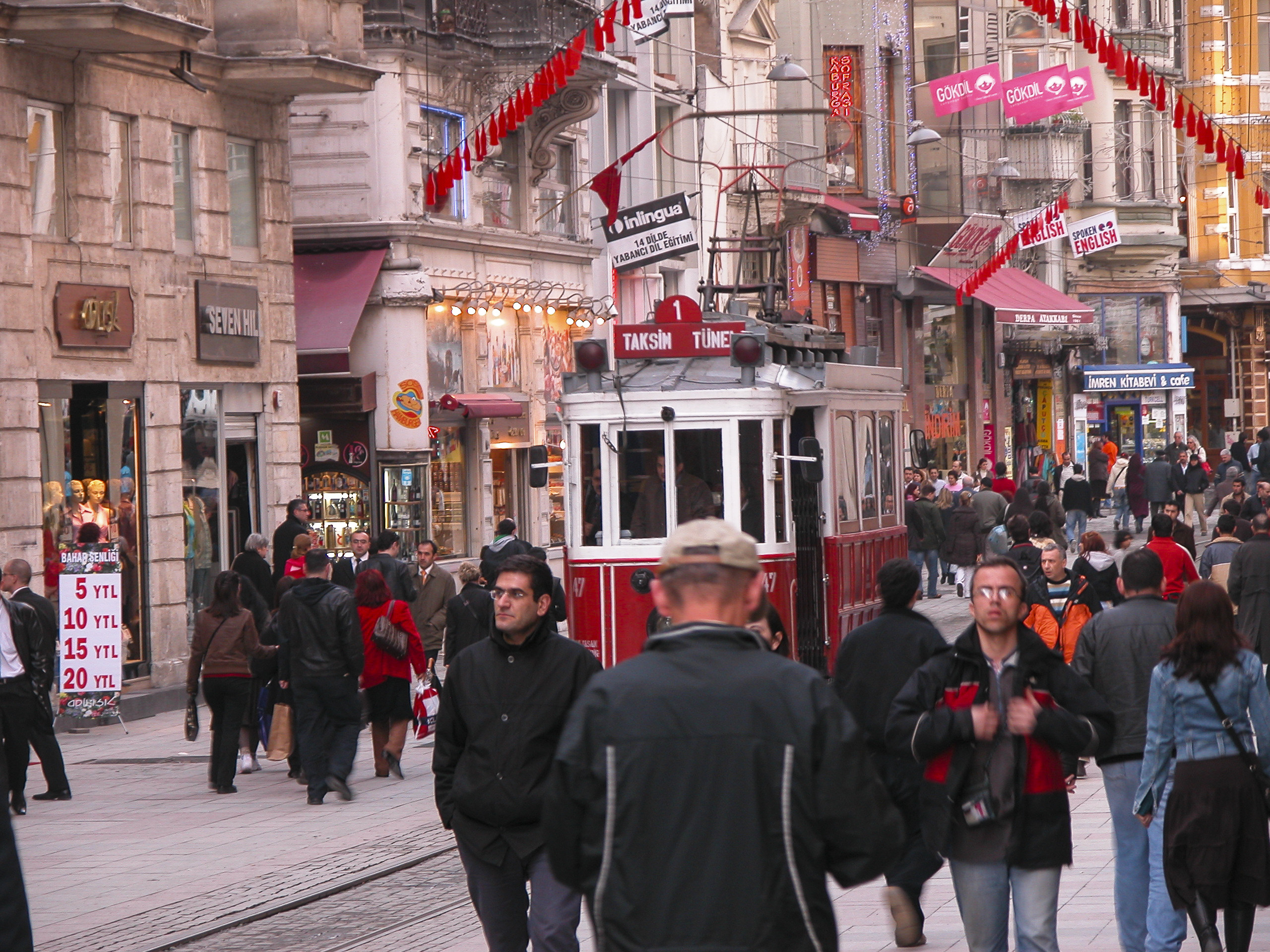
The main thoroughfare of Beyoğlu. It is closed to vehicular traffic, with one exception.

The one exception to the no-vehicle rule was the tram or streetcar, a relic of the 19th and early 20th century. It had been discontinued during the early Republican period but was reinstated during the early 1990s as part of the effort to restore the historic ambience of Istiklal Street.

The streetcars that run to and from Taksim Square are the sole exception to the prohibition on motor vehicles on Istiklal Street.

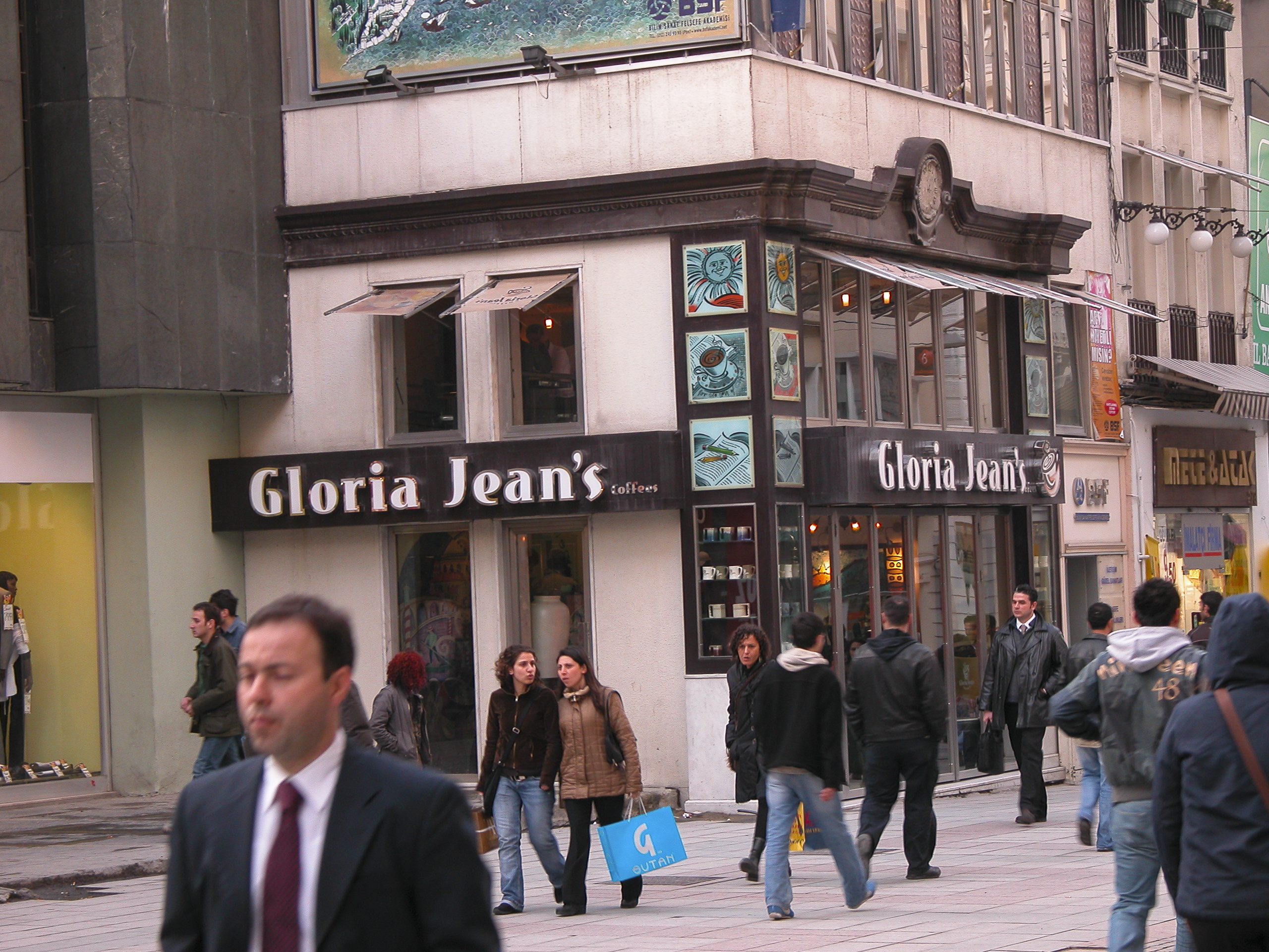
On Istiklal Street we encountered several American-branded coffeeshops such as Starbucks and Gloria Jean’s Coffee Bean and Tea Leaf, which seemed a bit ironic to me since it was the Ottoman Turks who had introduced coffee to Europe in the 17th century. I should note that Gloria Jean’s is now Australian-owned, though it originated in the USA.

It was the Ottoman Turks who introduced coffee to Europe, so there is some irony in finding an outlet of a coffee shop chain originating in the USA, and now Australian-owned, in Istanbul.

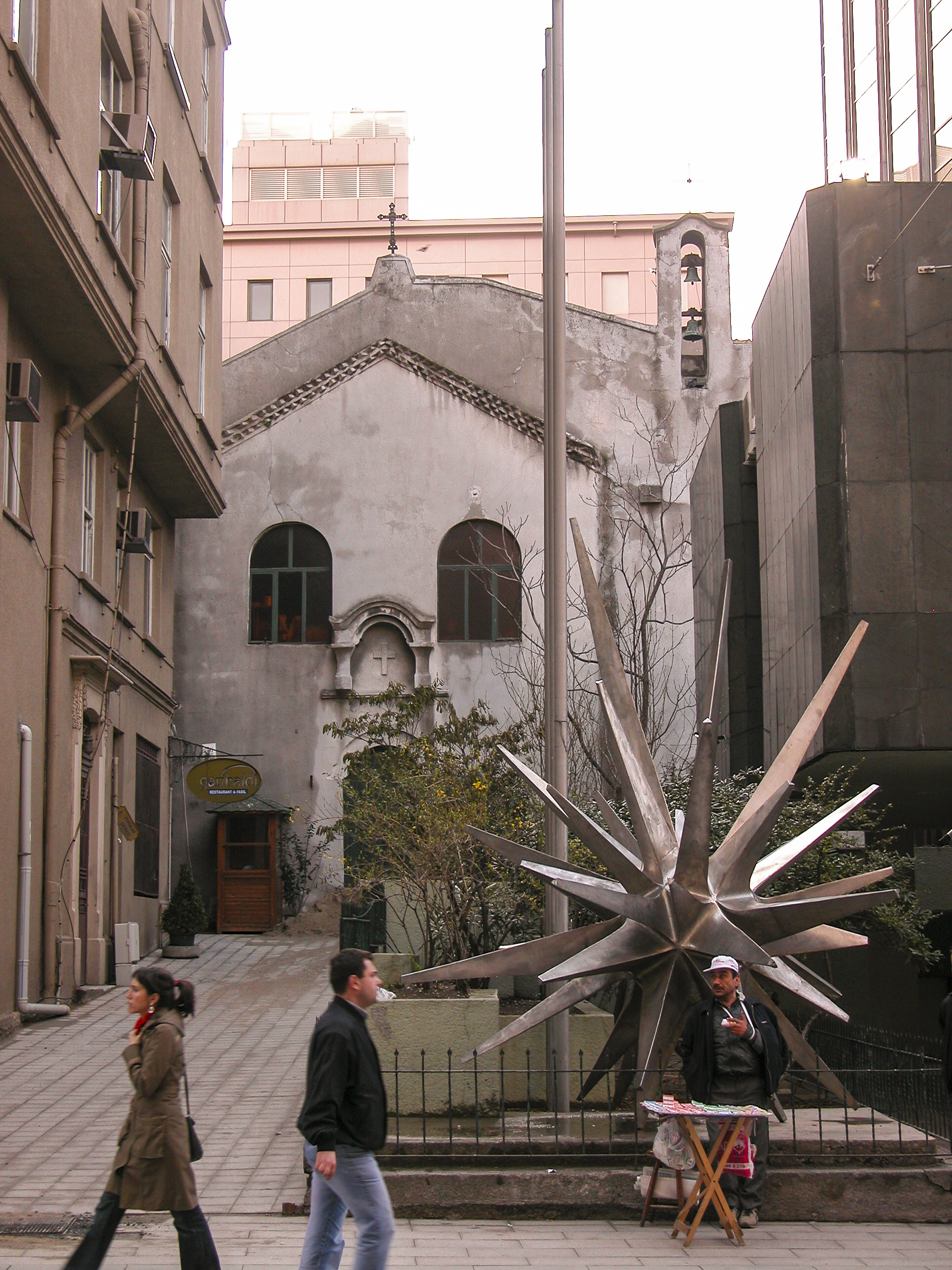
Since Beyoğlu was historically the center of the European community in Istanbul, it was no surprise to find a number of Christian churches on Istiklal Street. Christians and Jews comprise only 1-2% of the population of Turkey, and most of the Christian churches are concentrated in Istanbul, many of them in the Beyoğlu district. Pictured below is one of them, inconspicuously set back on a cul-de-sac off Istiklal Street, though the star-shaped ornament draws some attention to the location. It is the Surp Yerrortutyun Armenian Church, and it is a somewhat unusual church, because unlike most Armenian churches, it belongs to the Roman Catholic Church rather than the Armenian Apostolic Church, which is the national church of Armenia. It was founded by Austrian priests at the beginning of the 18th century, but burned down and was rebuilt in 1836, from which time the current edifice dates. We did not go inside – it was closed when we passed by – but the interior is said to be like the exterior, elegant though simple and unpretentious.

The Surp Yerrortutyun Armenian Catholic Church.

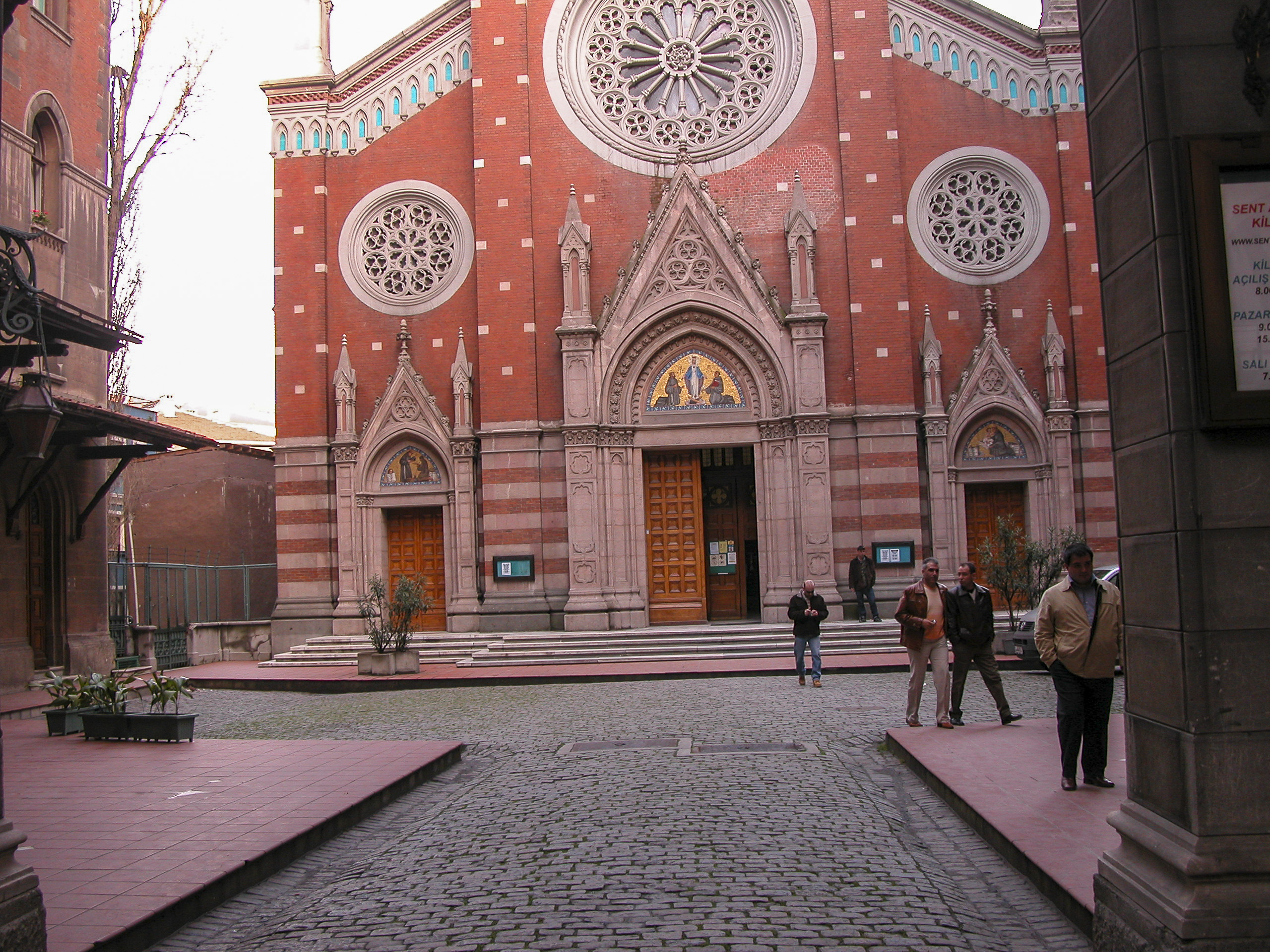
Beyoğlu is also home to the largest Roman Catholic church in Turkey, the St. Antonio di Padova basilica. The original church was built in 1725, but it was replaced in 1912 by the current Venetian Neo-Gothic style edifice. Pope John XXIII preached there for ten years, as the Vatican’s ambassador to Turkey, before being elected pope. He spoke fluent Turkish and was quite fond of Istanbul.

St. Antonio di Padova, the largest Roman Catholic church in Turkey.

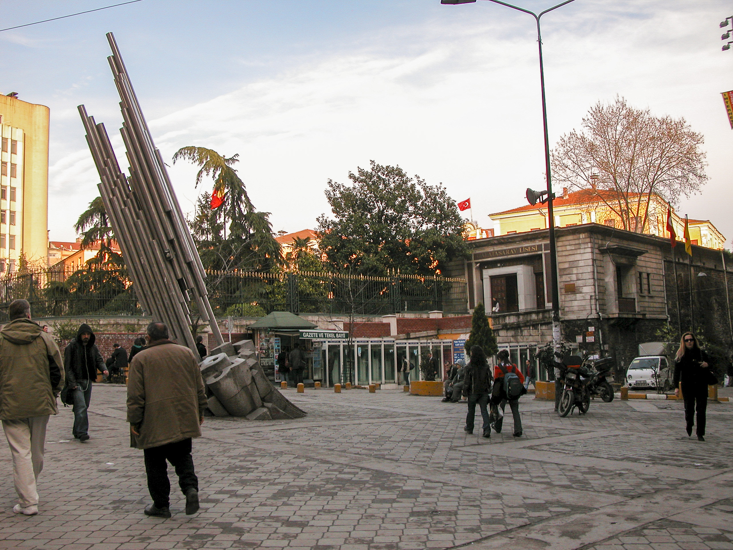
On our early-evening stroll we got as far as Galatasarai Square, the midpoint of Istiklal Street, between Galata Tower and Taksim and Tünel Square. The organ-pipe monument at the left of the photo below was erected in 1973 to commemorate the 50th Anniversary of the Turkish Republic by the architect Şadi Çalık.

Galatasarai Square, with the monument “The 50th Anniversary of the Republic” at left .

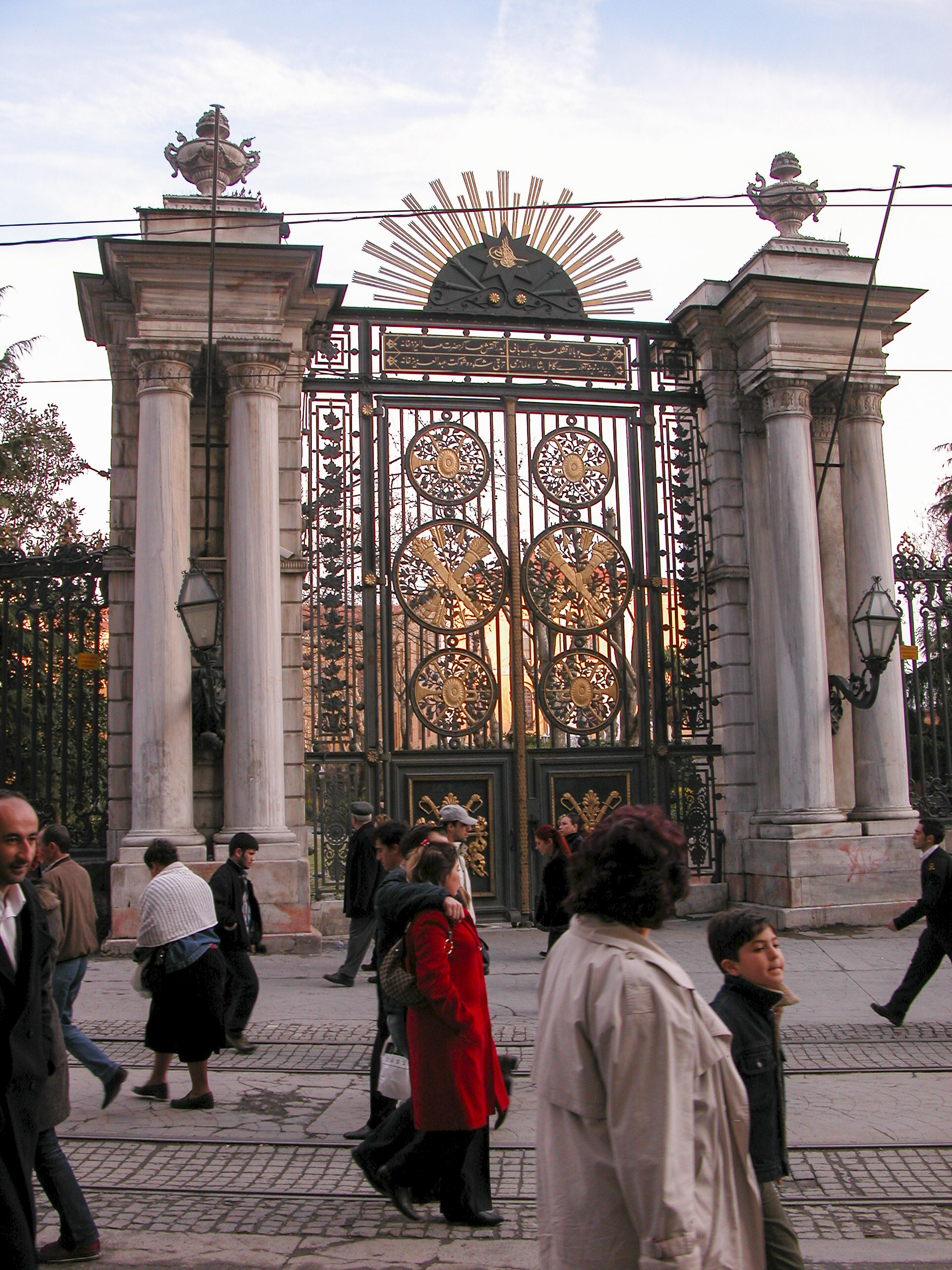
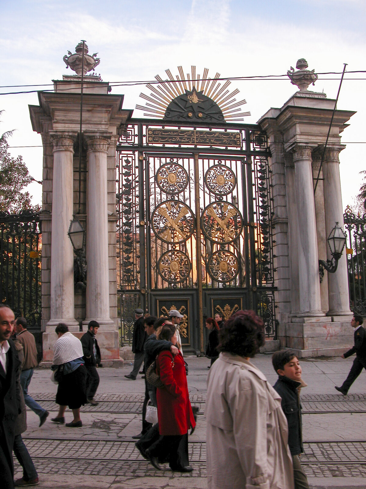
Galatasarai Square is named for Galatasaray Lisesi (High School), the oldest secondary school in Turkey, the ornate and imposing gate of which is pictured below. The school was founded in 1481 by Sultan Bayezid II as the Galata Palace Imperial School. In 1830 the modernizing Sultan Mahmud II transformed it into the Imperial Medical School, with mostly French professors teaching in French. In 1868 the Francophile Sultan Abdülaziz, impressed by the French educational system, turned the school into a French-style lycée, or high school. The language of instruction continued to be French; more teachers were hired from Western Europe; and the student body was drawn from all nationalities of the Ottoman Empire, especially non-Islamic religions and heavily Bulgarian.

Under the Turkish Republic, the name of the school officially became the Galatasaray Lisesi, instruction was conducted in both Turkish and French, a primary school was added, and the school was made co-educational in 1965. The student body is now about 40% female. As in the Ottoman period, the school continues to be an elite institution; though admission is open to all students, it is very competitive, with only those scoring in the top .03% on the national high school entrance exams being accepted.

The ornate and imposing gate of the Galatasarai High School.

Had time permitted, I would have liked to venture into the side streets and alleys branching off Istiklal, which would have greatly enriched our experience of this fascinating area.

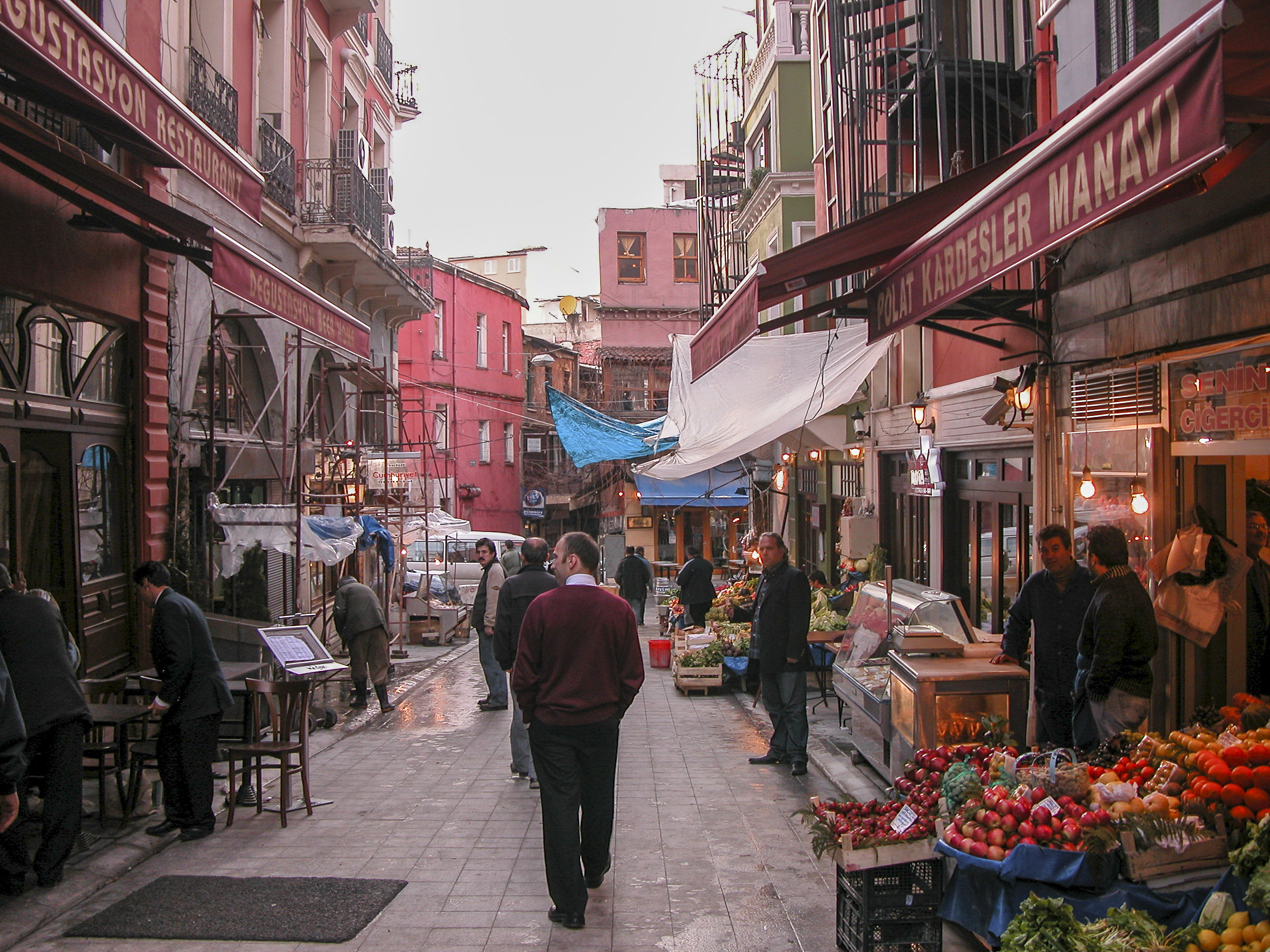
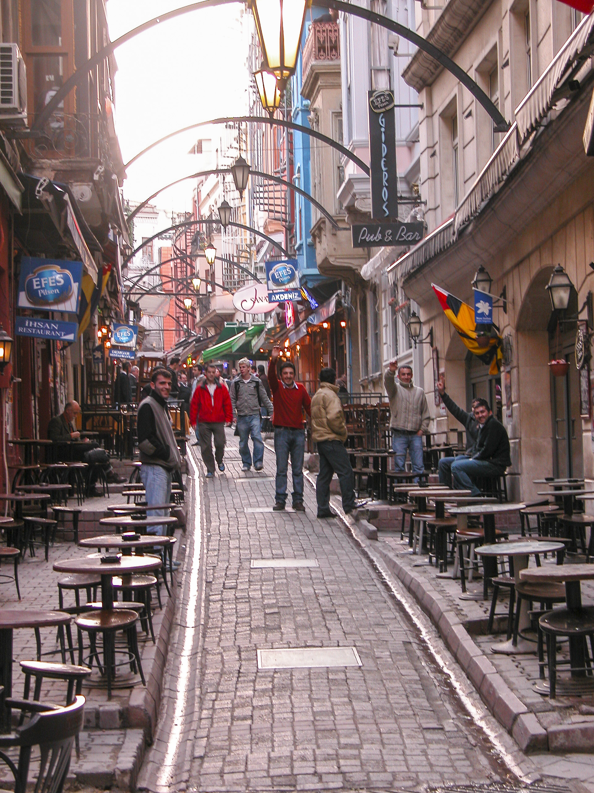
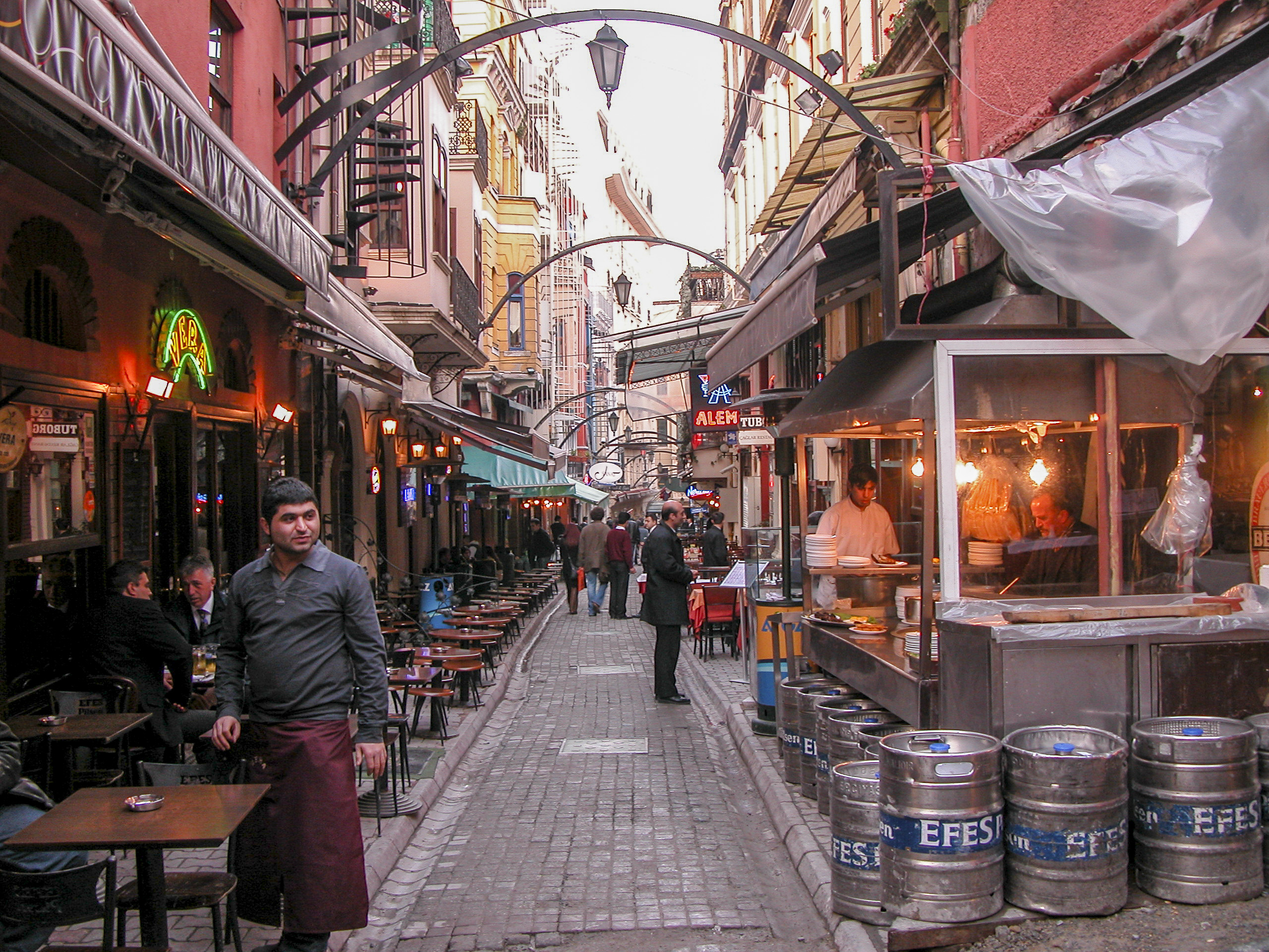
The narrow streets branching off Istiklal were a veritable warren of pubs, cafes, markets and other small shops.

In the 1970s and 80s the Istiklal side streets were notorious for their bars and bordellos, but then gentrification set in; we saw plenty of bars and pubs, but no bordellos.

The Istiklal side streets were a gourmet’s paradise, with restaurants and cafes catering to all tastes.

Although we didn’t see any evidence of any bordellos, the variety of eateries was staggering. Every type of cuisine in the world appeared to be represented, and there was something to satisfy every palate.

The establishment on the left was our choice for dinner the following evening.

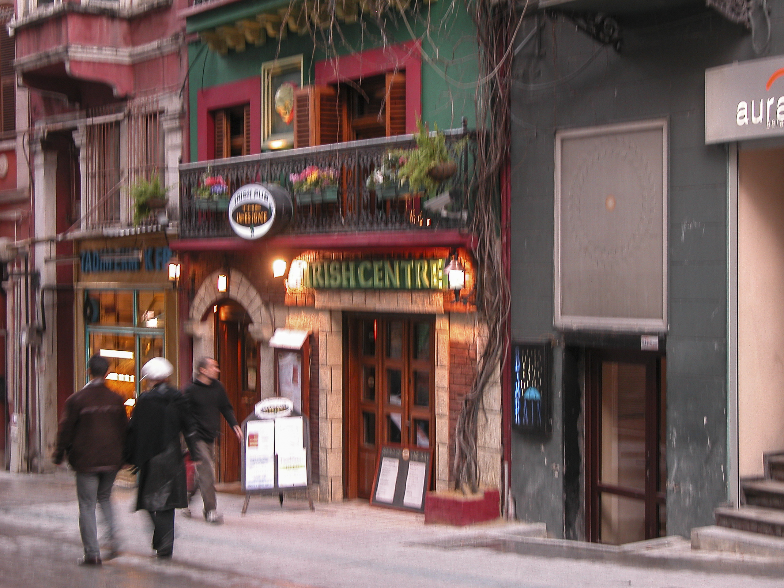
I remember seeing at least three Irish pubs on the side streets during our stroll down Istiklal. We didn’t have time to drop into any of them, but I was able to get a snapshot of the most photogenic of them.

The most photogenic of the several Irish pubs I saw in Beyoğlu.
Categories
Turkey, March-April 2006

Istanbul, March 30, 2006: The Pottery Barn

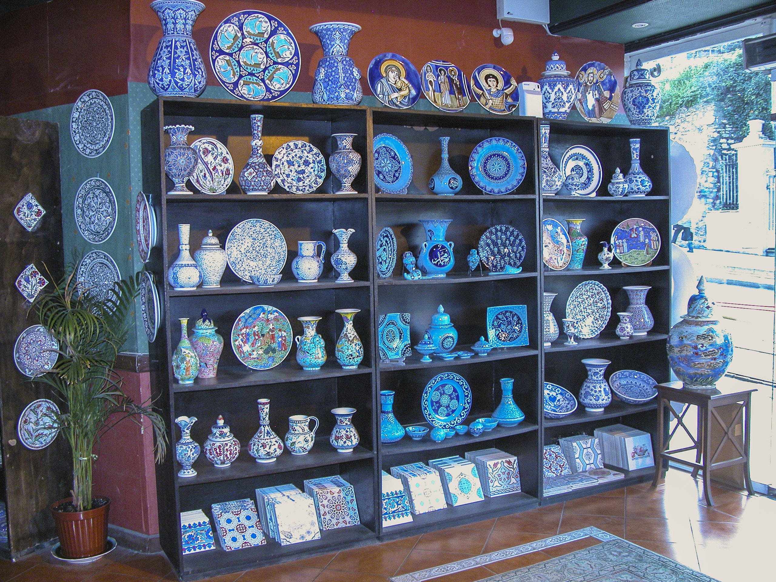
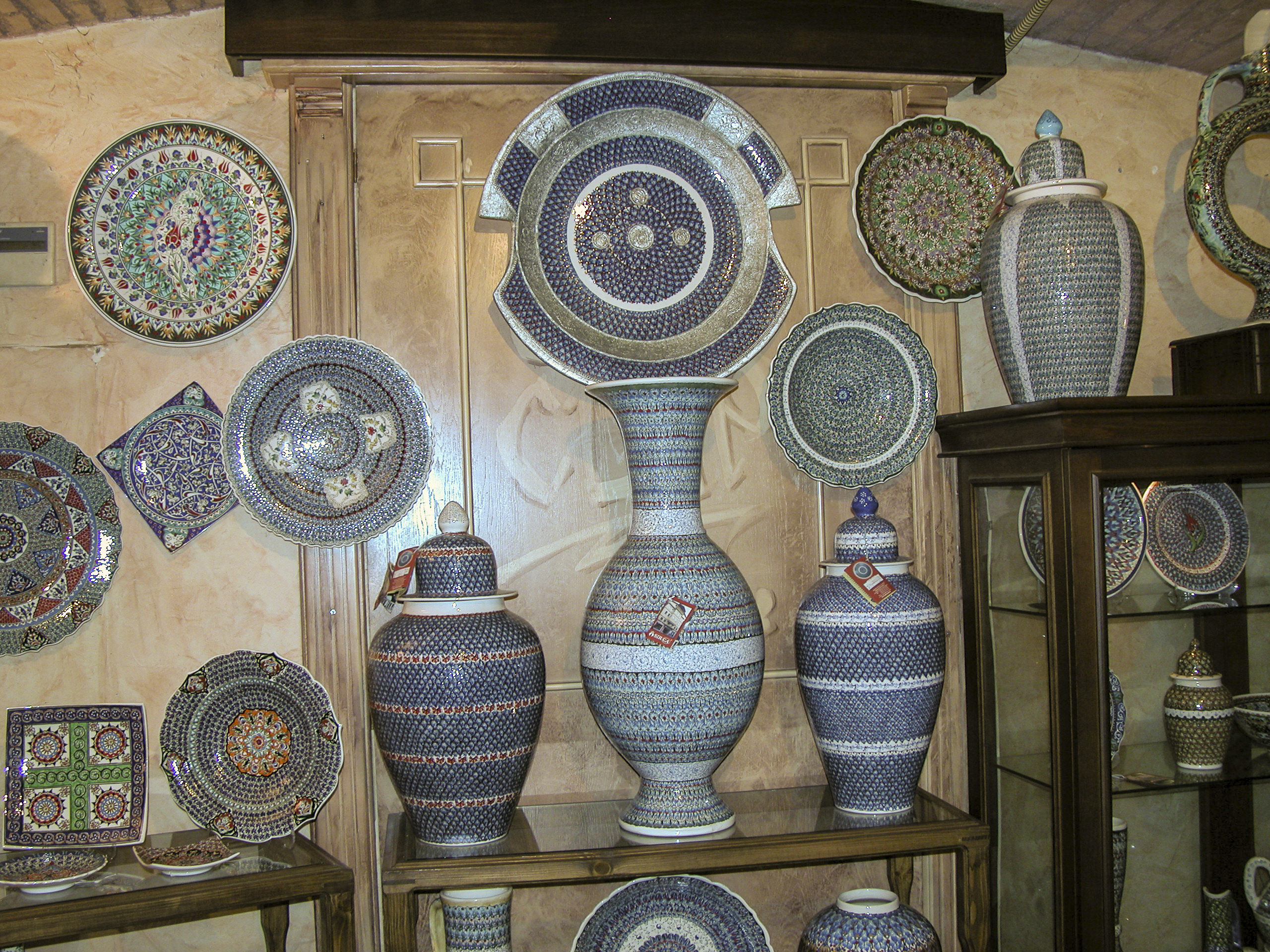
Our next stop after the Basilica Cistern was a real tourist trap, in the best sense of the word – a shop where ceramics of astounding beauty were made, exhibited and sold.

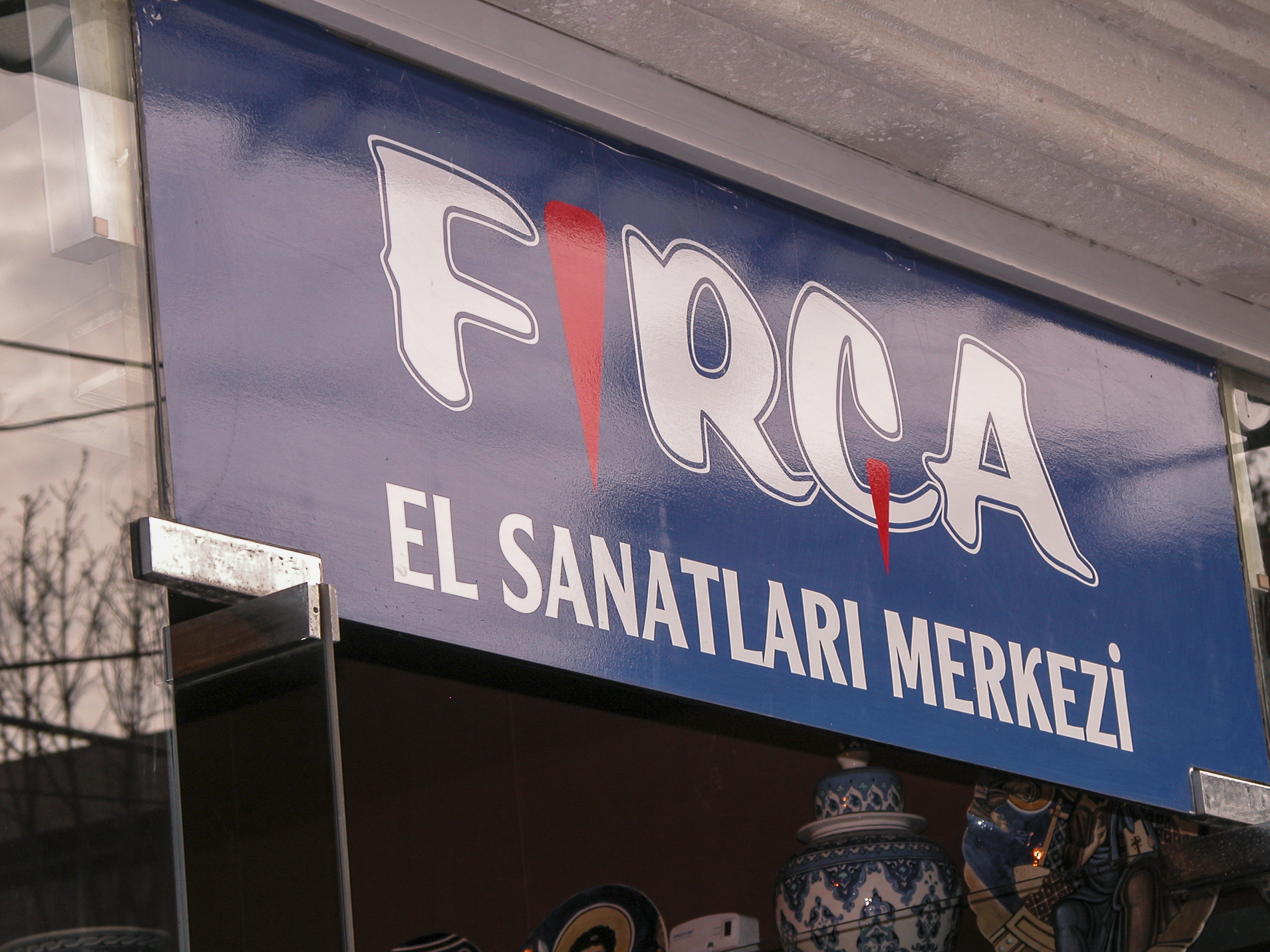
Facade of the Fırça El Sanatlari Merkezi Seramik – The Paintbrush Handicraft Center.

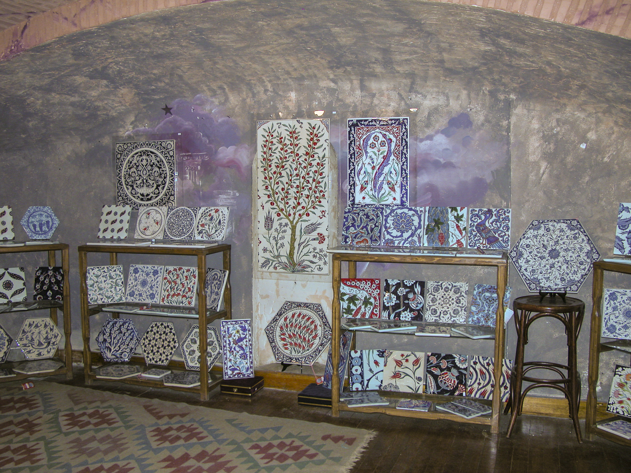
Immediately upon entry, the victim encounters a shelf with a fabulous array of ceramics designed to lure her further into the store.

A fabulous array of ceramics is displayed on these shelves to lure passers-by into the store. One wonders, though, what happens to the shop’s profit margin in the aftermath of a major earthquake.

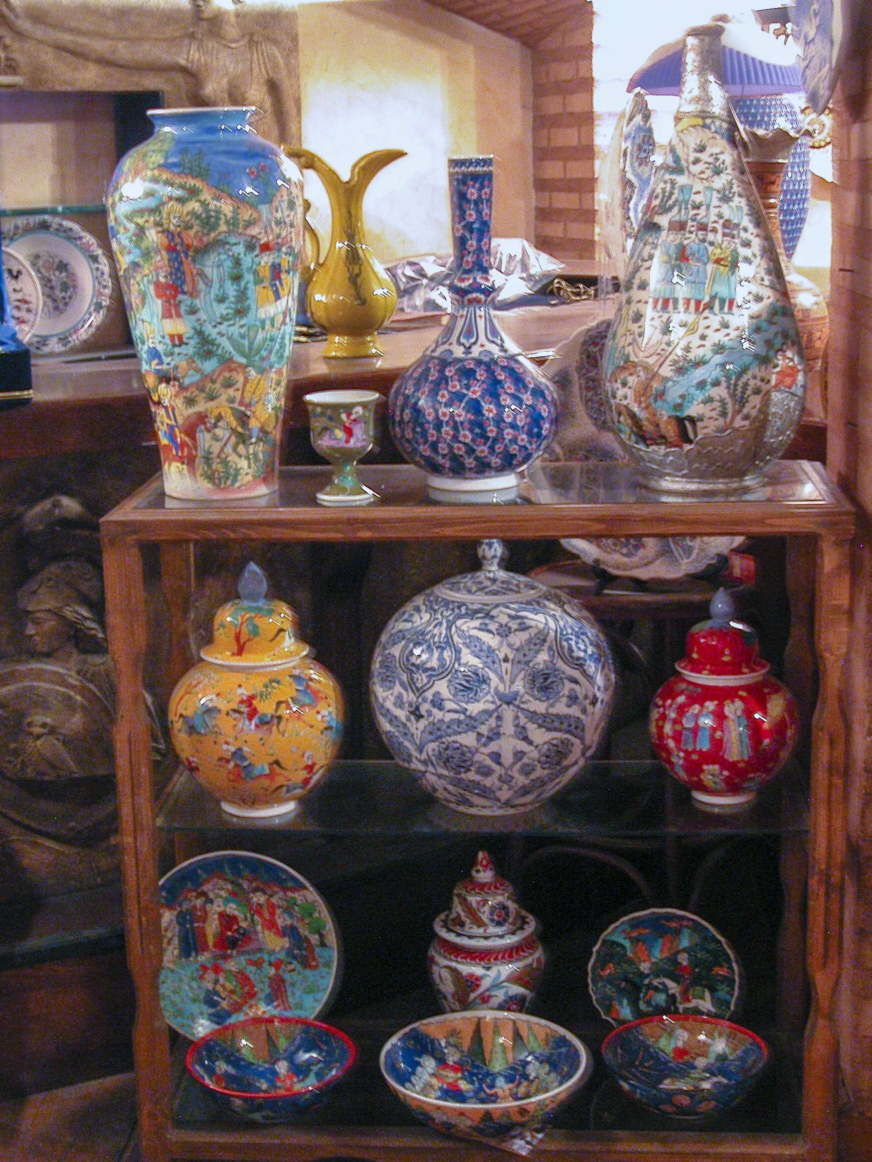
Every conceivable type of ceramics, with the exception of Space Shuttle heat-resistant tiles, was to be found in this shop.

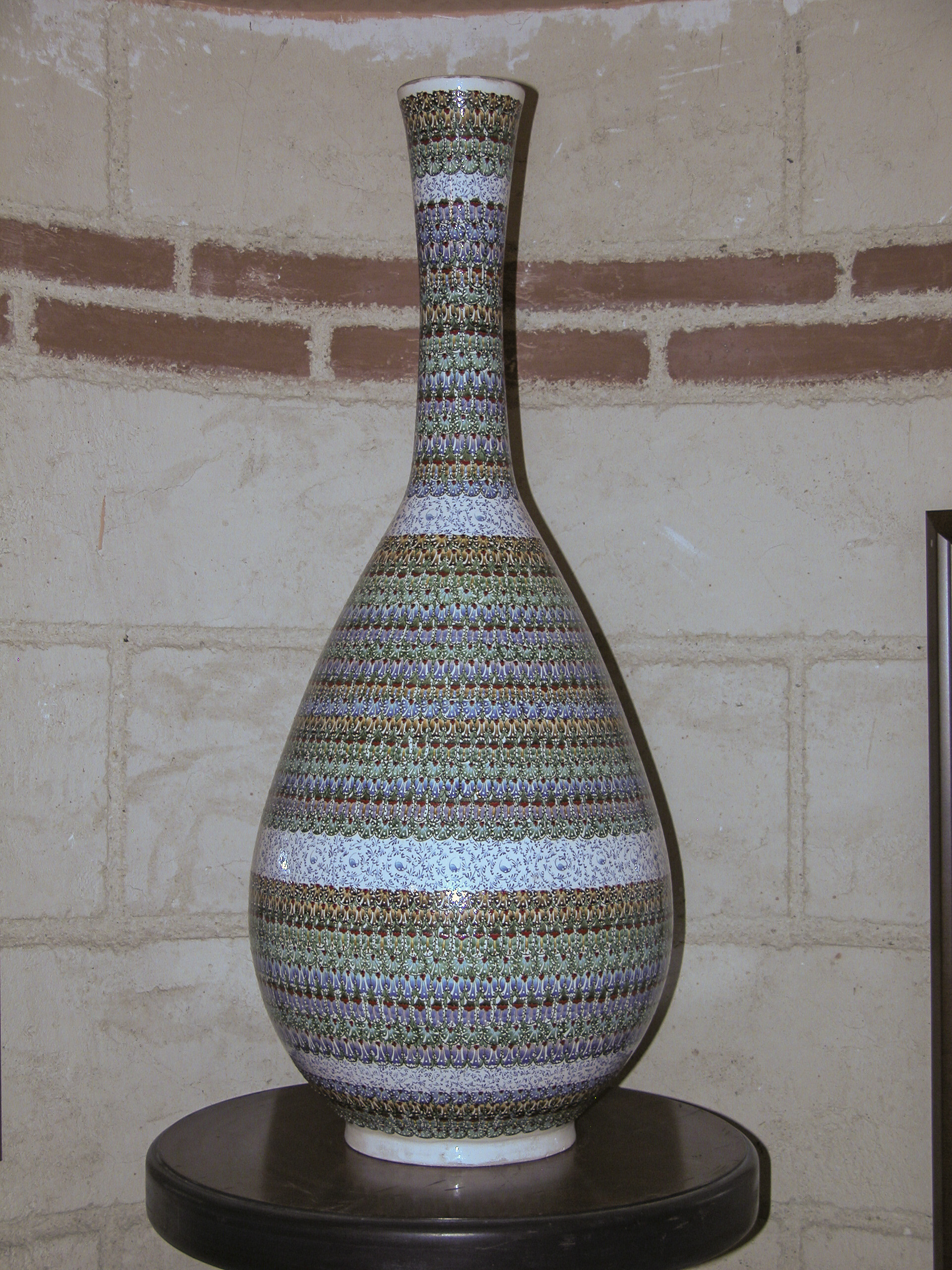
Vases, bowls and jars, all intricately decorated with various designs.

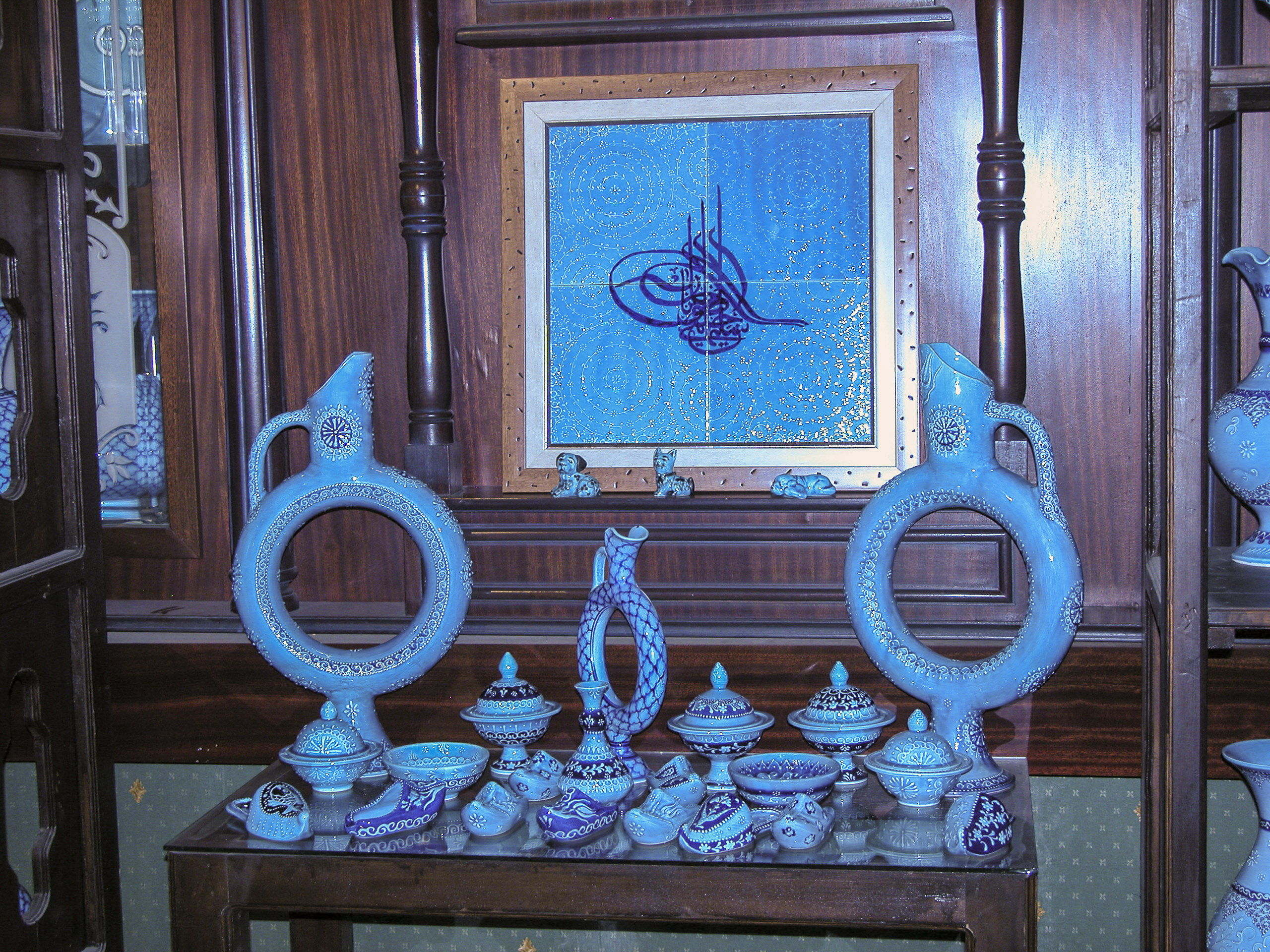
Blue seemed to be the dominant color in the shop’s inventory, and one table featured an exclusive selection of a variety of wares in the same all-blue color scheme, with dark-blue decoration on an iridescent light-blue background.

Although other colors were not lacking, blue seemed to be the dominant color in this shop’s inventory.

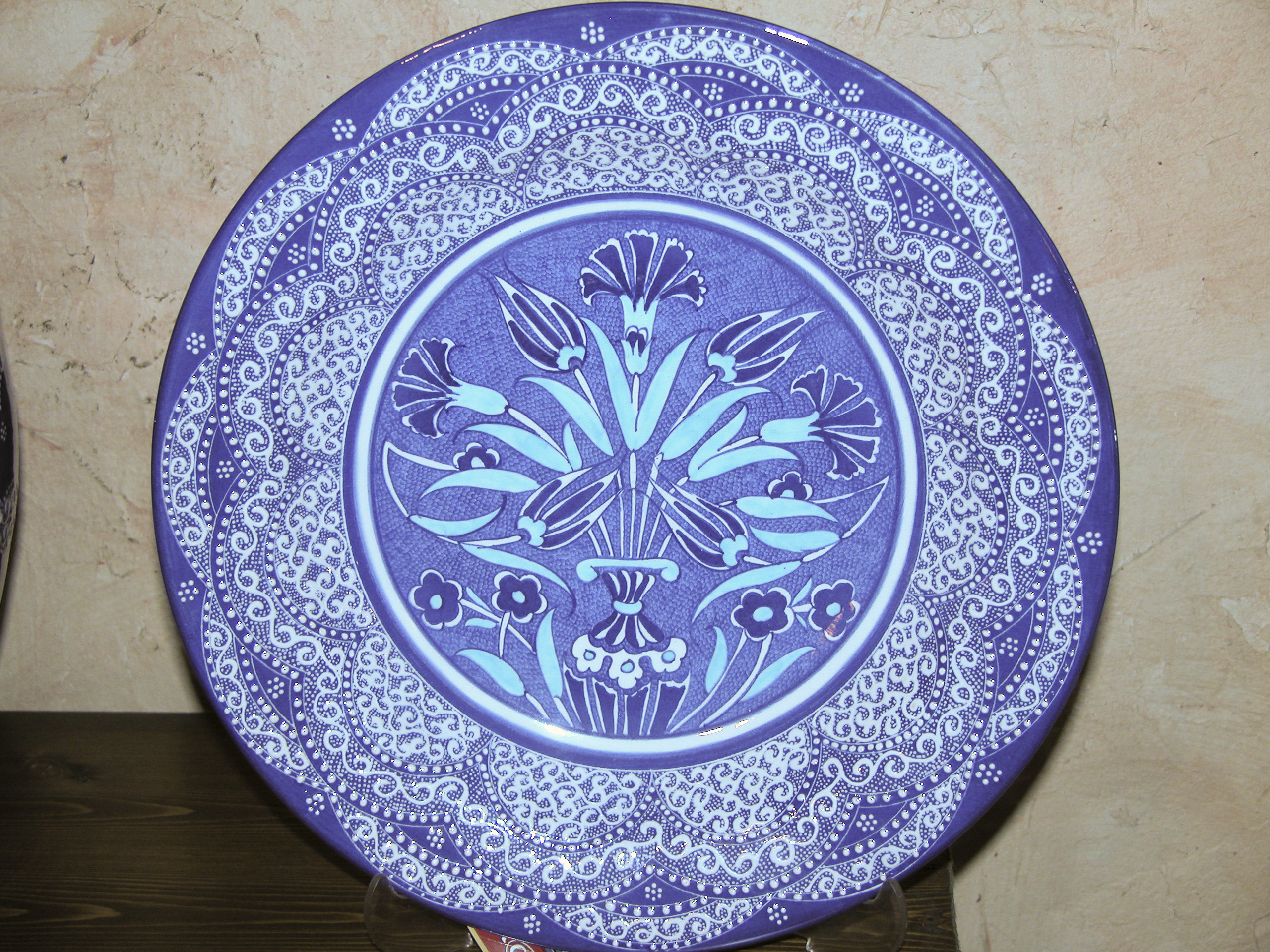
Speaking of blues, I thought this plate would make a fine choice to serve the daily special in a restaurant. (Sorry.)

The Blue Plate Special.

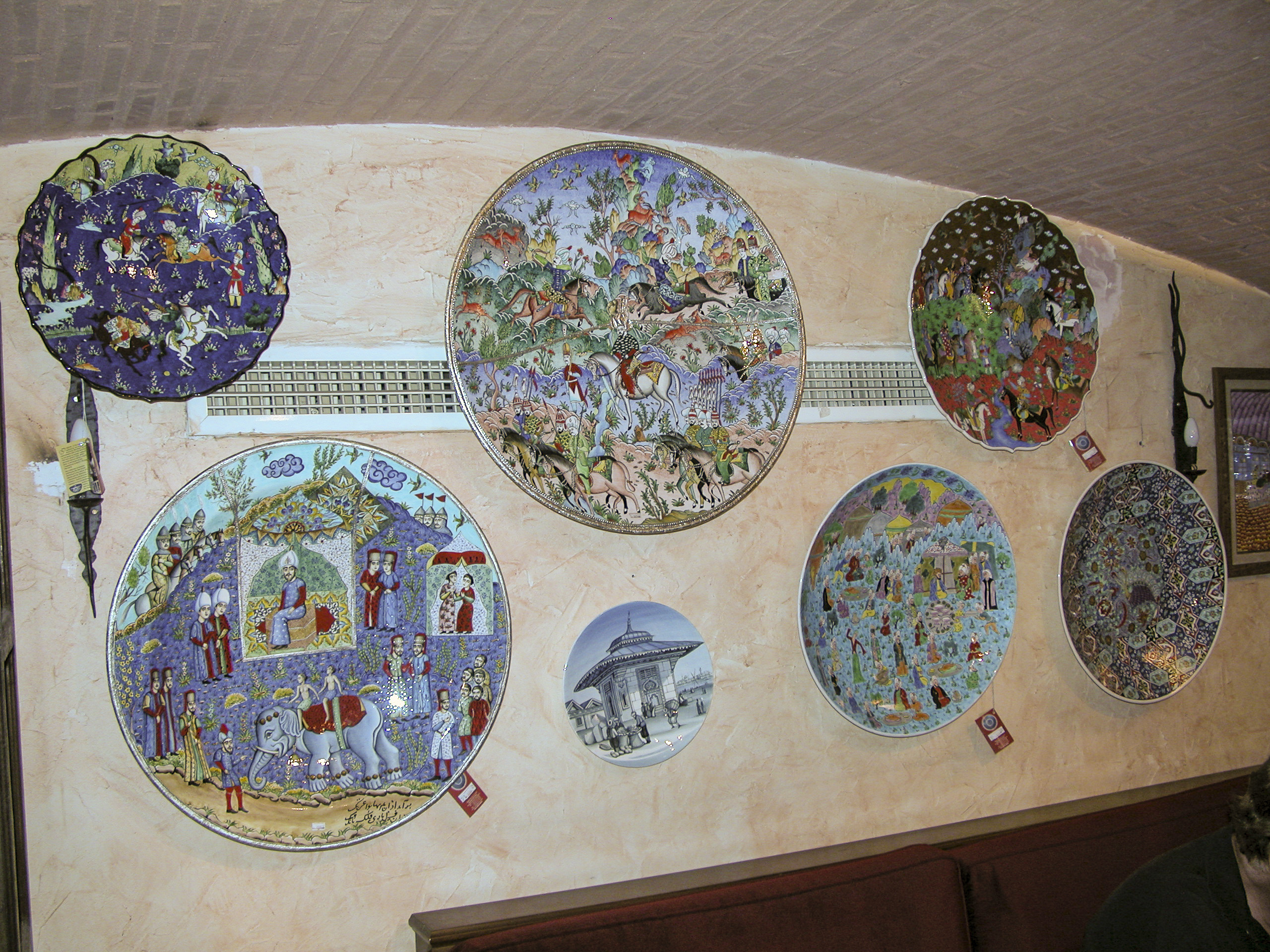
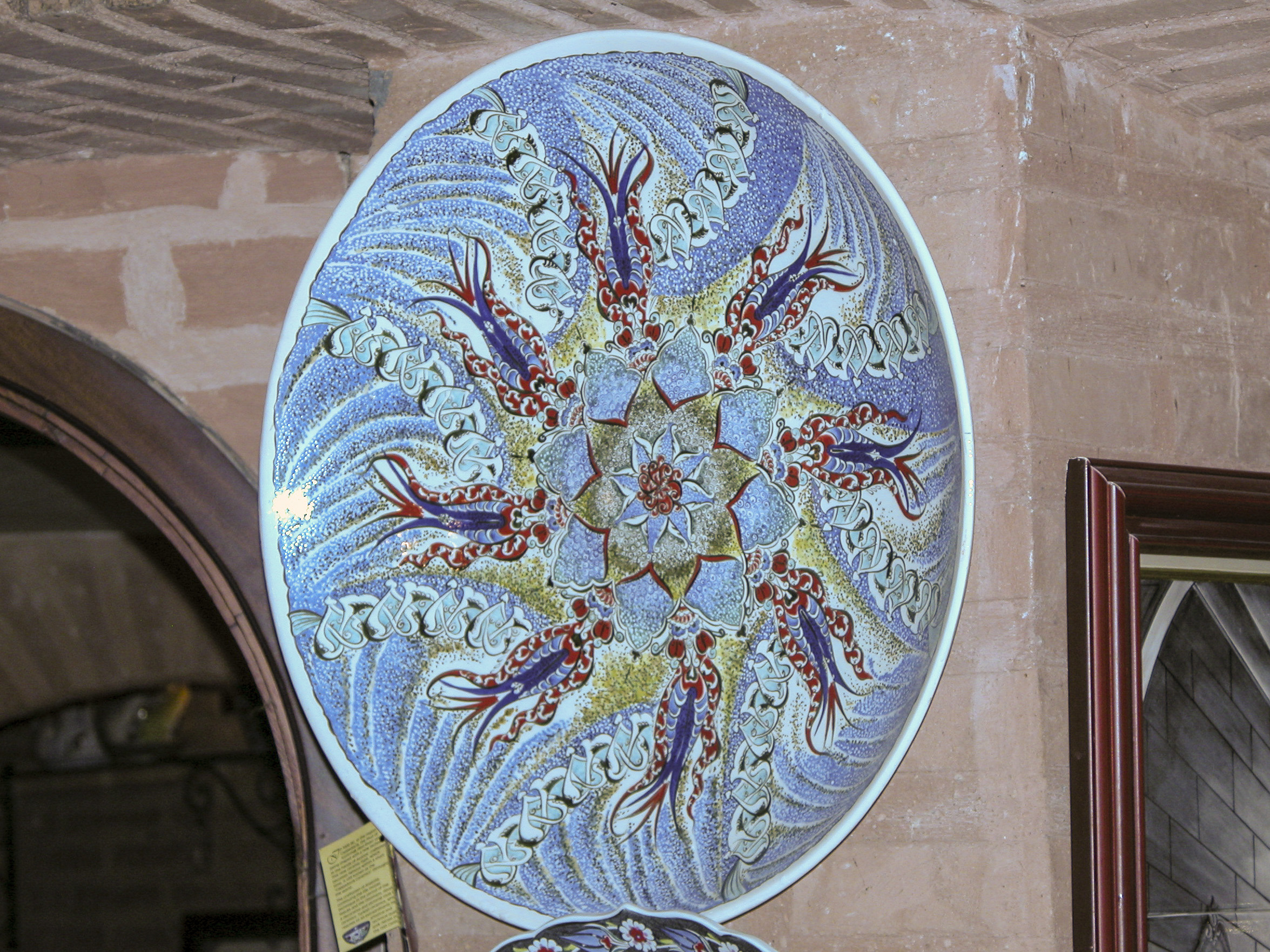
The platter hanging on the wall in the top center of this frame caught my eye. At first I thought maybe it had been broken during the fabrication process and the potter had decided to make a virtue out of necessity by making both indentations identical, but that seemed unlikely, so I decided that the indentations must have a purpose. Maybe it was intended to make the platter easier to carry. But I never found out for sure.

I wondered at the purpose of the indentations in the large platter at the top of the display.

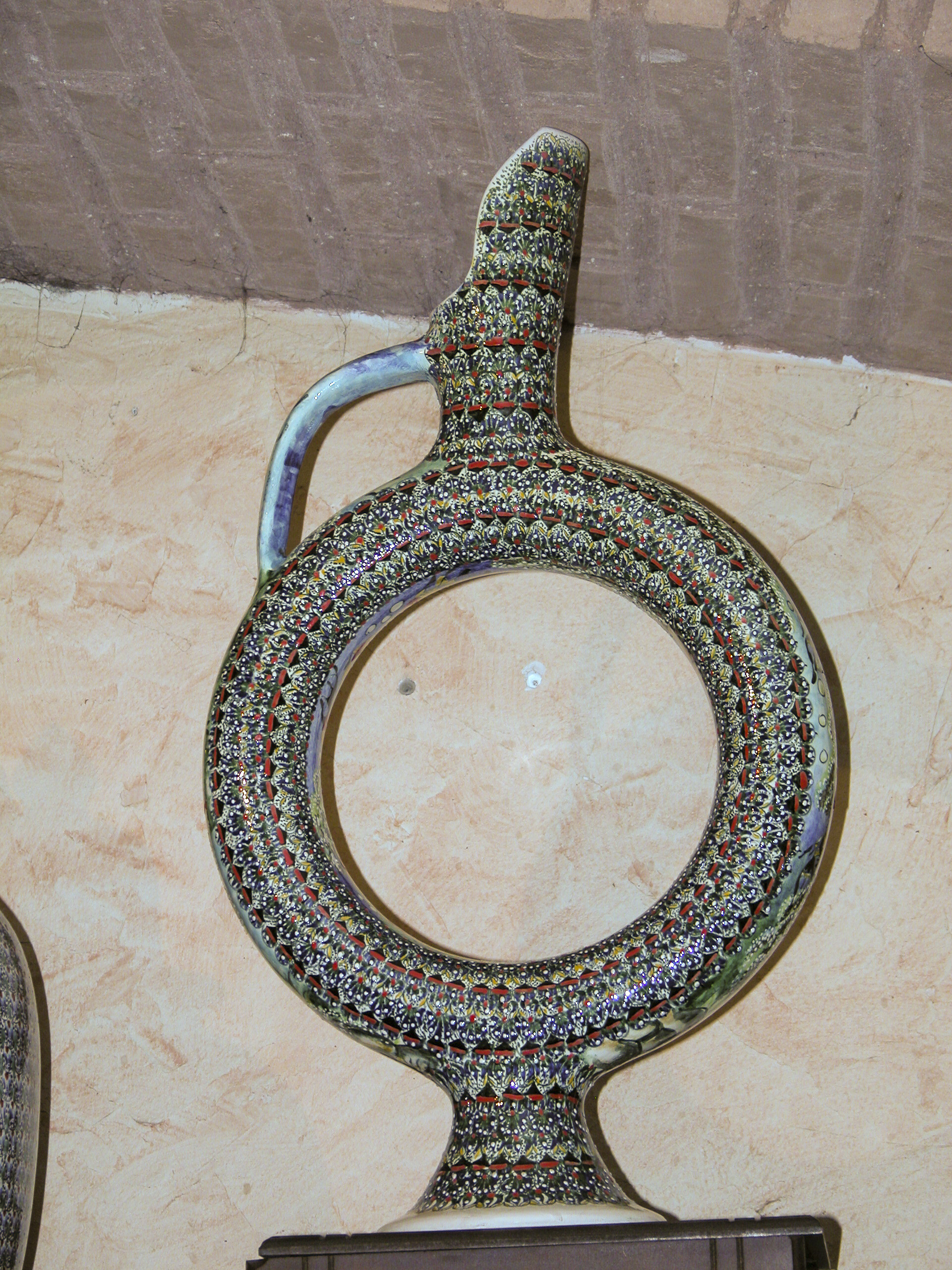
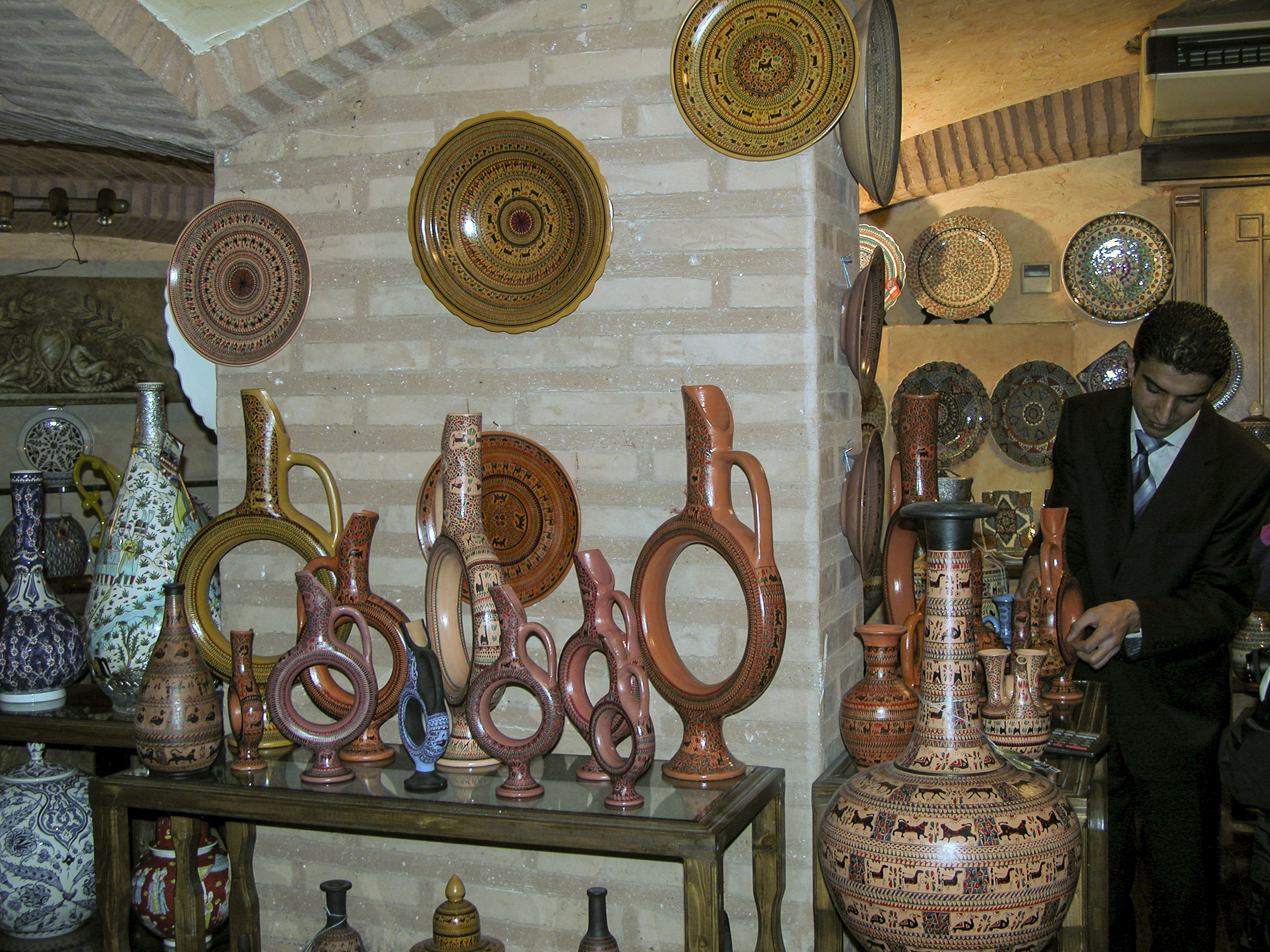
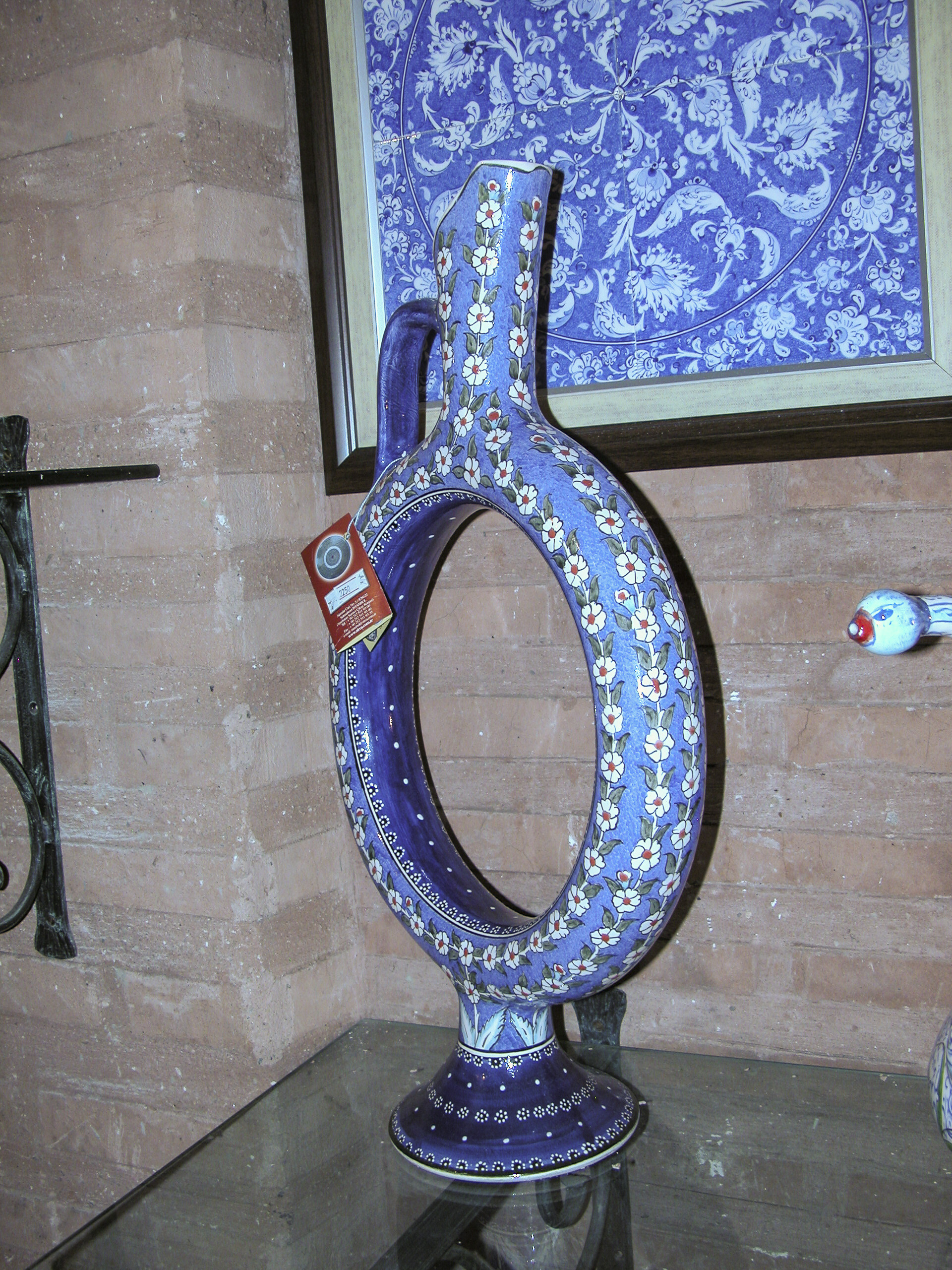
I’ve also never found out the generic name for the type of decanter shown in the next picture. I think the shape is designed to facilitate cooling of the contents. There were many of these in the Istanbul shop, but I’ve never seen them outside of Turkey.

I don’t know the specific name of this type of decanter, either in Turkish or any other language.

In contrast to the dominant blue, there was one shelf that almost exclusively featured red wares.

The Red Shelf.

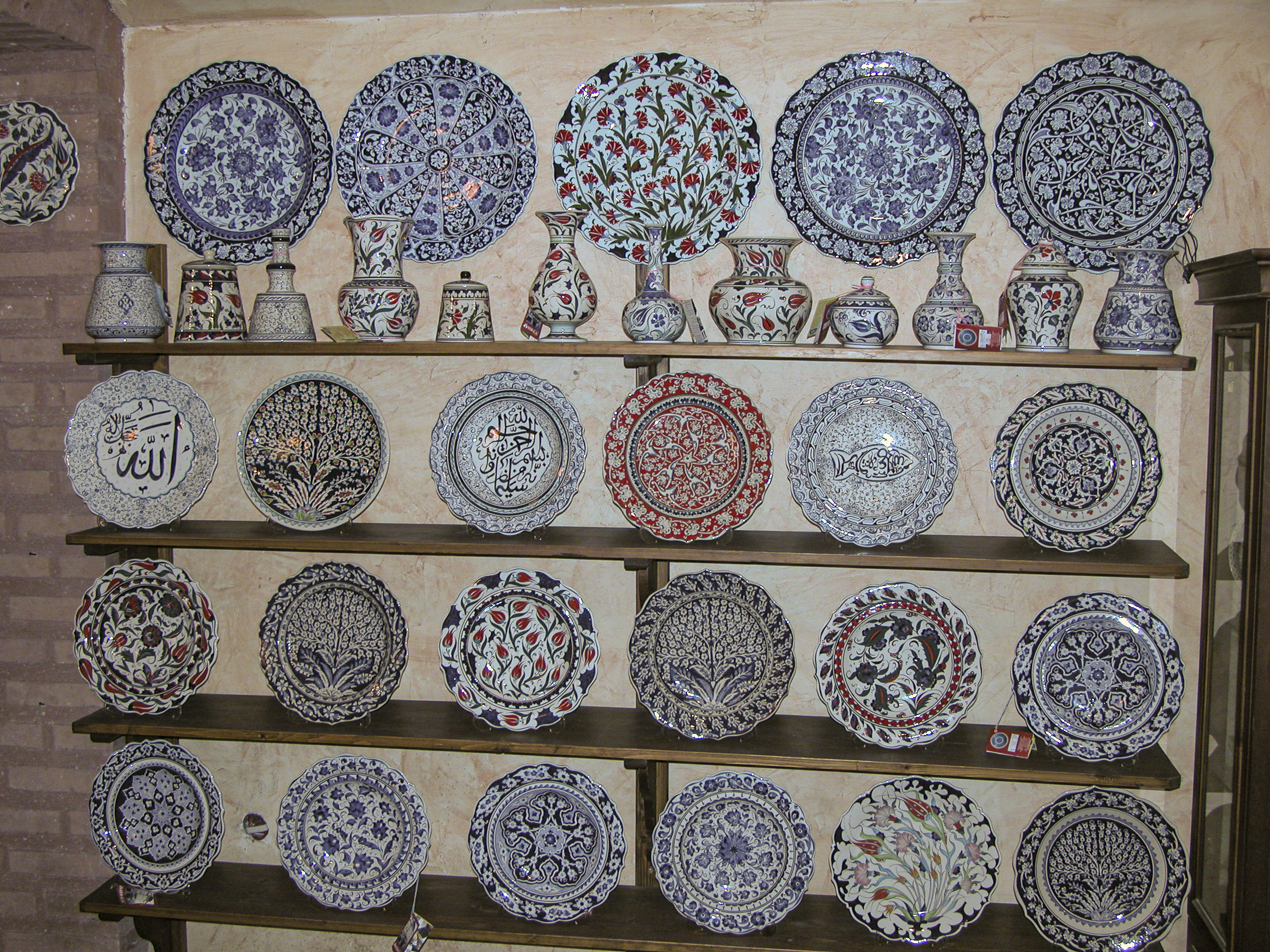
Decorative plates and platters were the most abundant item in the shop, and their numbers and variety were overwhelming. The examples on the shelf pictured here featured abstract and floral designs.

Plates on the lower shelves, condiment vessels on the top shelf, and platters hanging on the wall above.

Decorations on the shop’s ceramics consisted of abstract, nautical, floral and terrestrial designs, with abstract motifs probably the most common. Although they were in the minority, a number of plates were decorated with scenes that depicted living beings, including people as well as animals. Knowing that Islam frowns on the artistic representation of living creatures, I assumed that this was a reflection of a typically relaxed Turkish posture in matters of religious doctrine, in keeping with the tolerance of moderate consumption of alcoholic beverages.

These pieces departed from strict Islamic tradition by depicting scenes featuring people as well as animals.

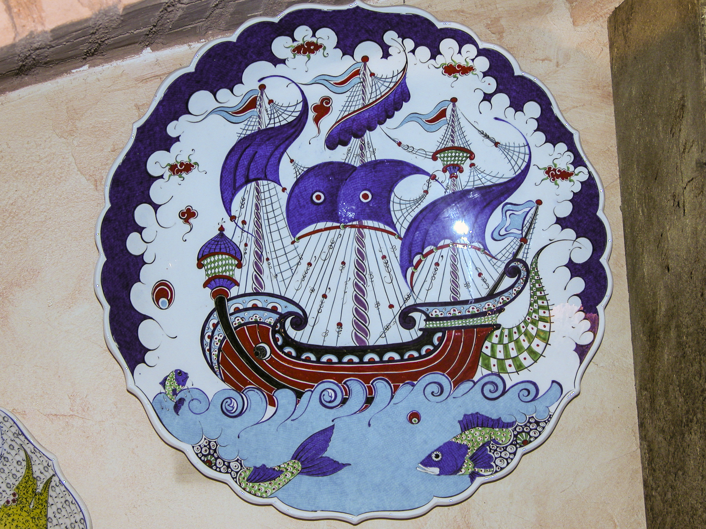
I was particularly captivated by this colorful portrayal of a sailing ship, perhaps carrying Sinbad on one of his voyages.

Note the Nazar Boncuğu on the sails and prow.

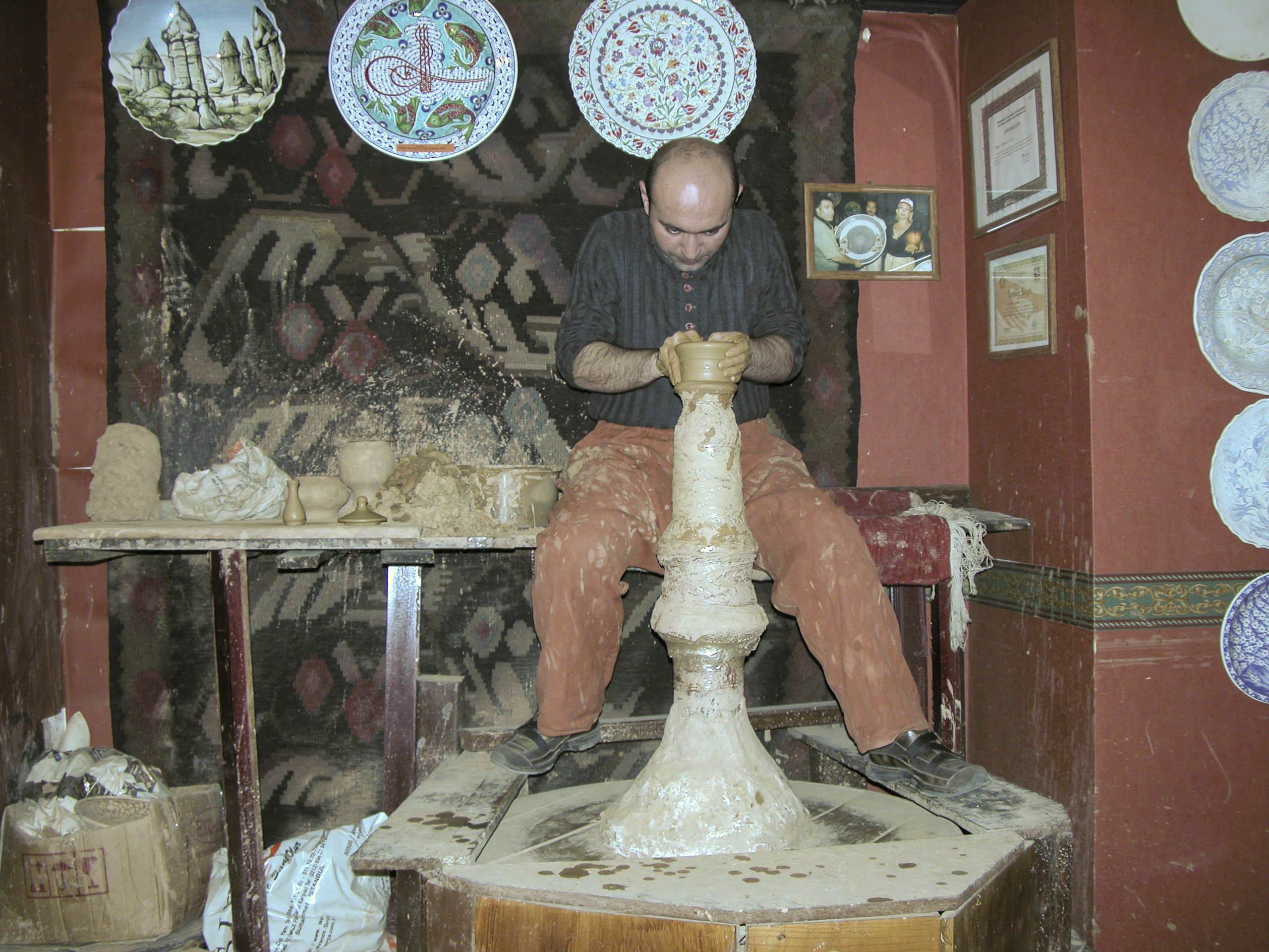
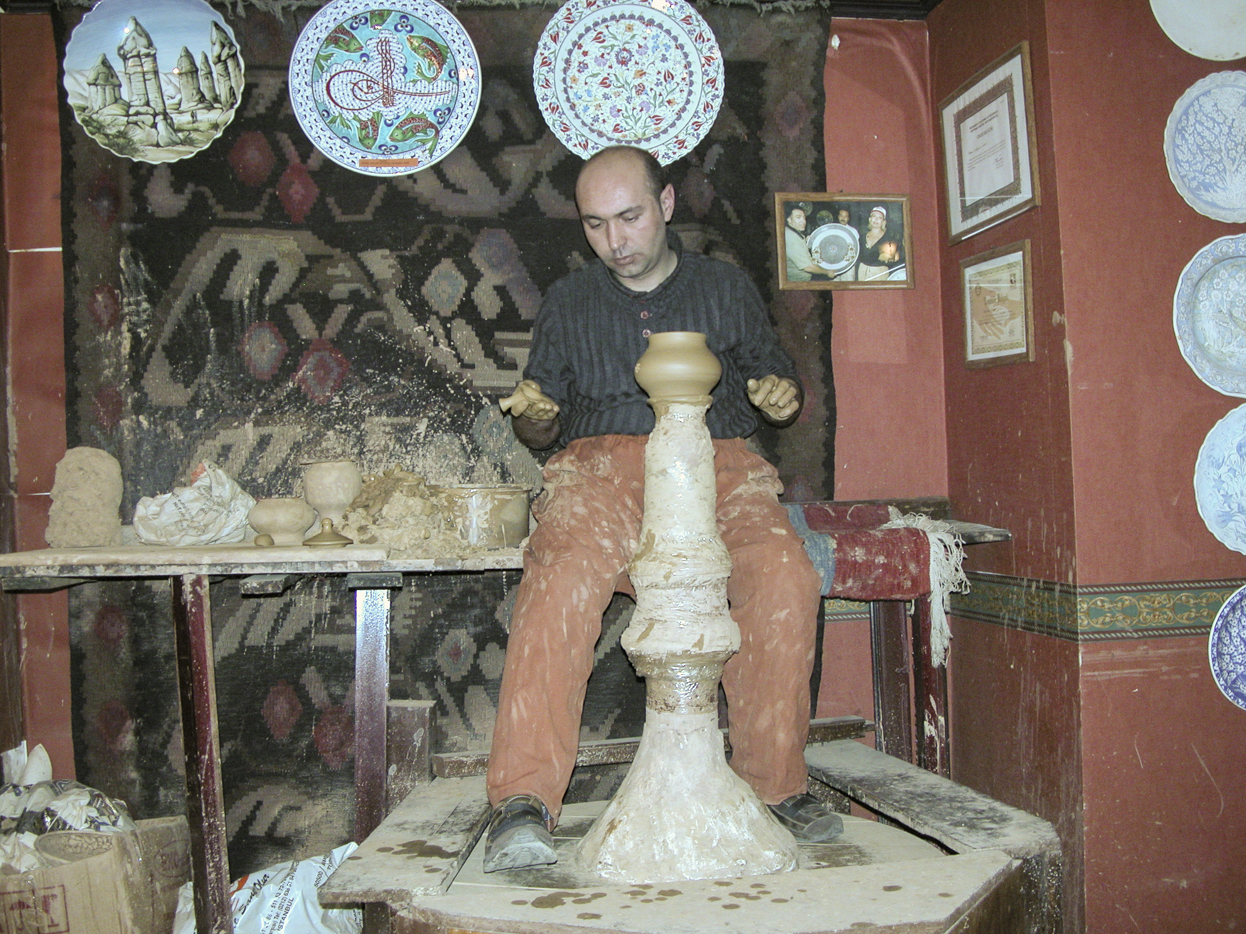
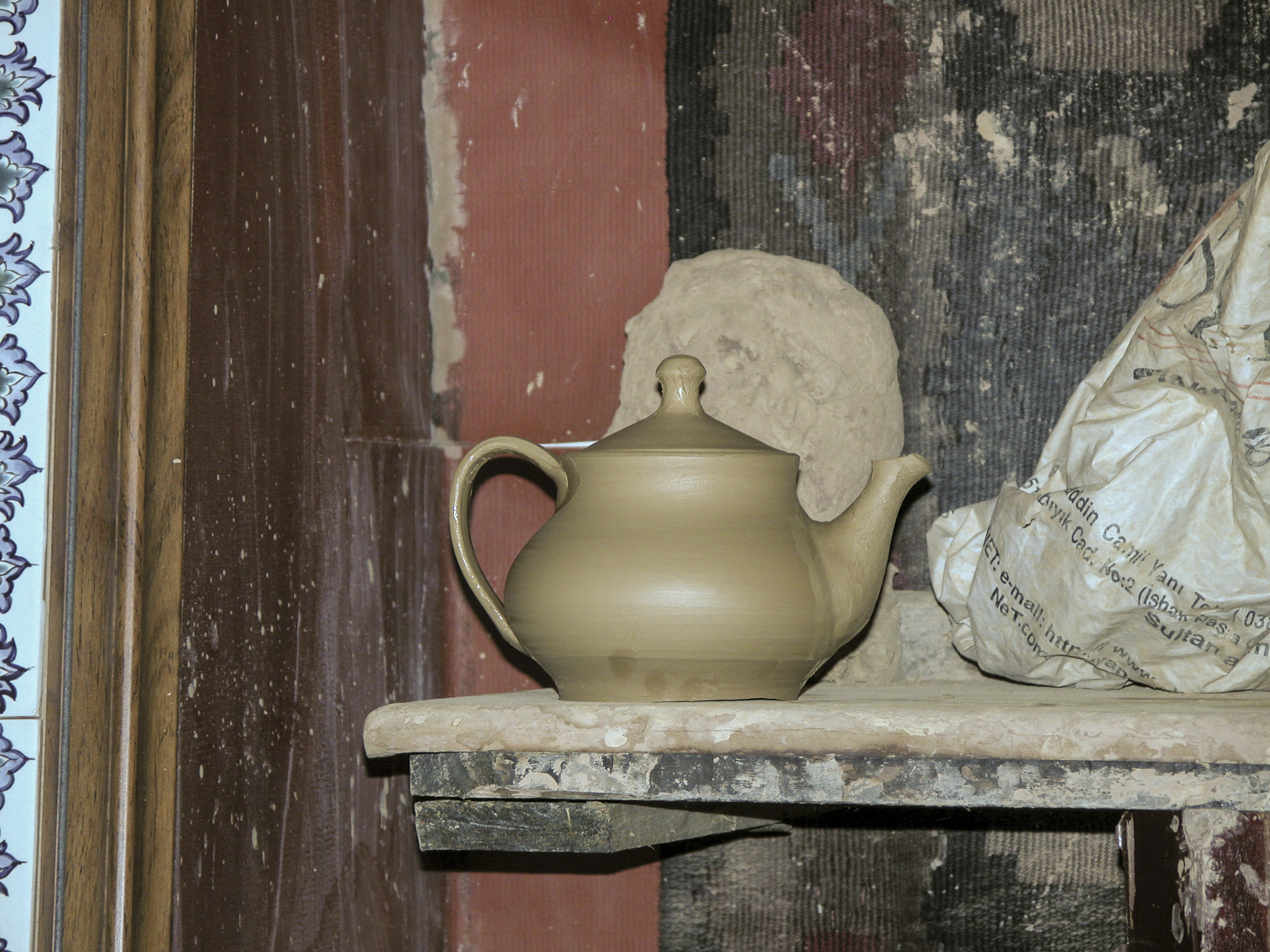
During our visit we were treated to a demonstration of the potter’s art – the creation of a teapot on the wheel. Initially it looked like he was making a flowerpot.

The potter treated us to a demonstration of how a teapot is turned out on the potter’s wheel.

Shortly the vessel gained some curves and began to look like a vase.

At this point the new creation looks more like a vase than a teapot, but that will soon change.

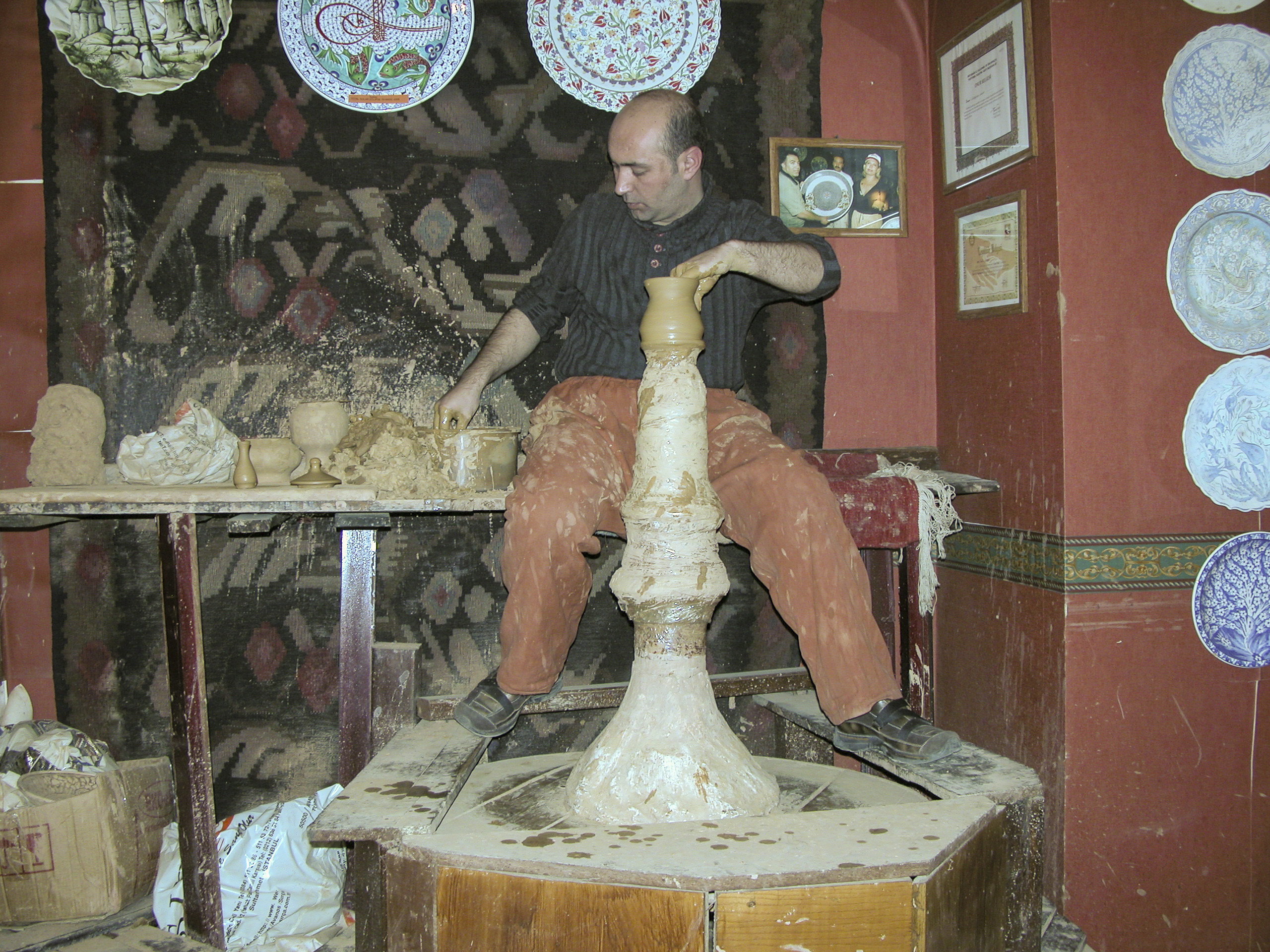
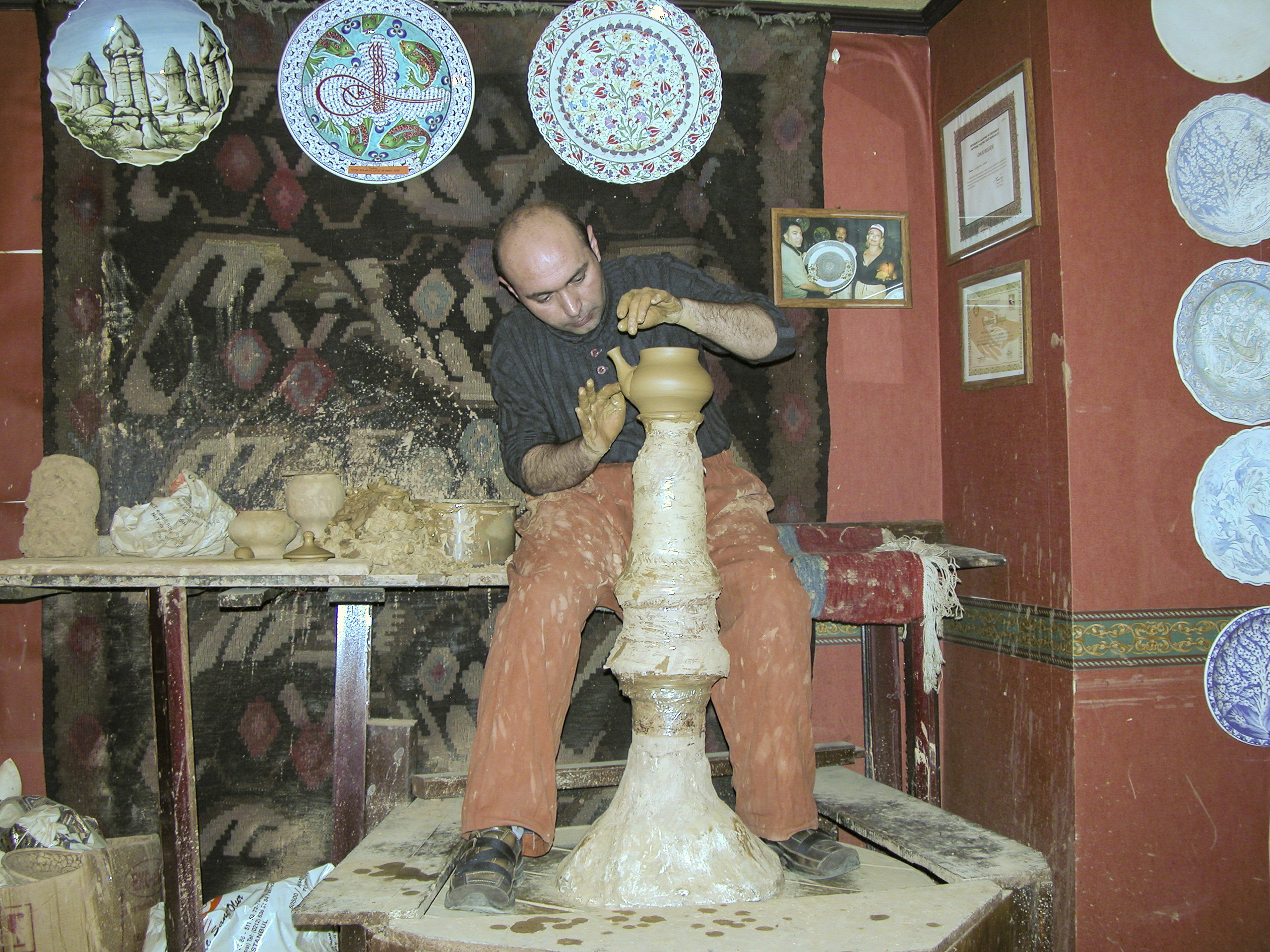
Soon it attained its characteristic shape, fat in the middle and narrower at top and bottom, and then the potter made a spout and prepared to attach it to the teapot, into which he had poked a hole at some point.

Looks more like a teapot now. The potter has formed the spout, and is getting ready to slap it on.

With great care the potter fit the spout to the teapot.

The potter applies the spout to the body of the teapot.

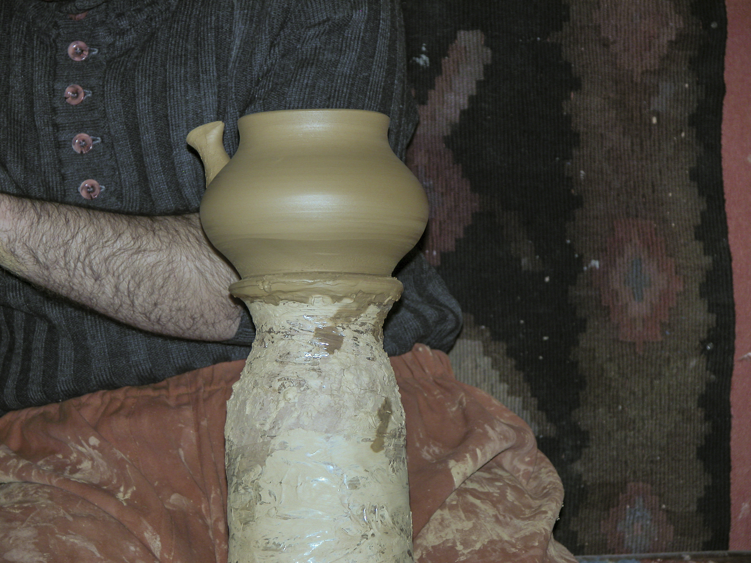
Now it has a spout, but it still needs a handle, not to mention a lid.

I’m a little teapot, short and stout…here’s my spout, but where’s my handle?

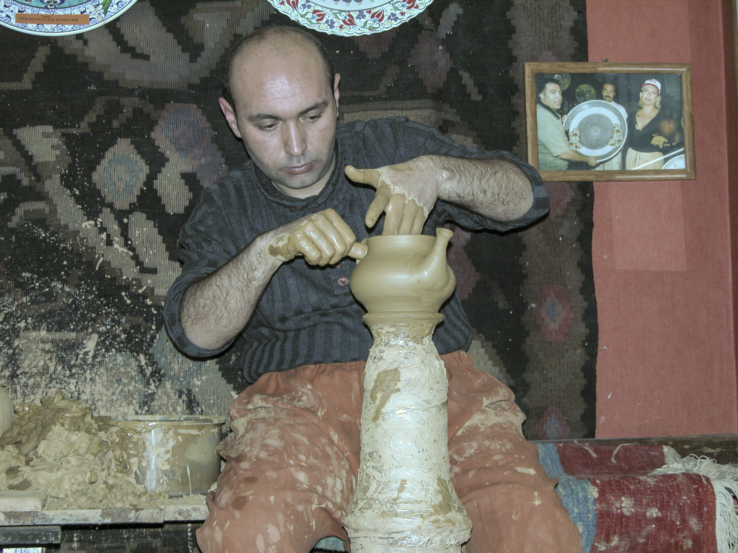
Now the potter quickly and deftly shapes a handle and pastes it onto the teapot.

Now I have my handle, and my spout.

In short order the potter added a lid, and now the teapot was ready for decoration and firing in the kiln. We didn’t get to watch those processes, but we wouldn’t have had the time or the patience anyway. So ended our introduction to this ancient art.

The lid has now been added, and the teapot is ready for decoration and firing in the kiln.

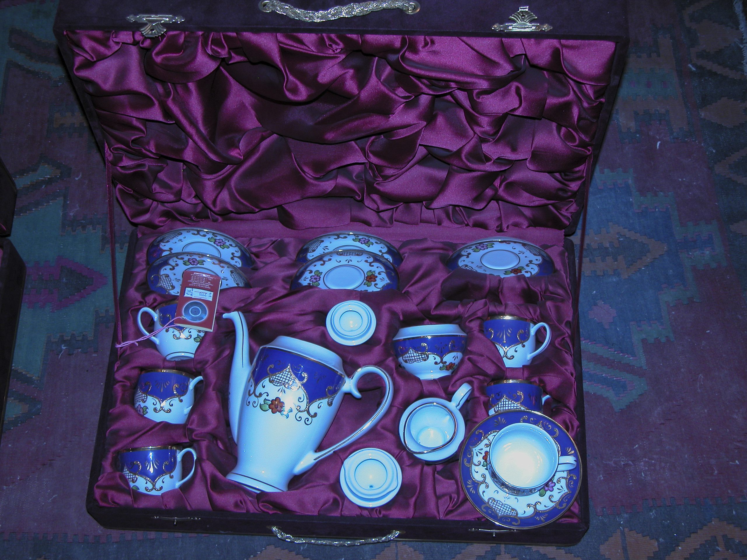
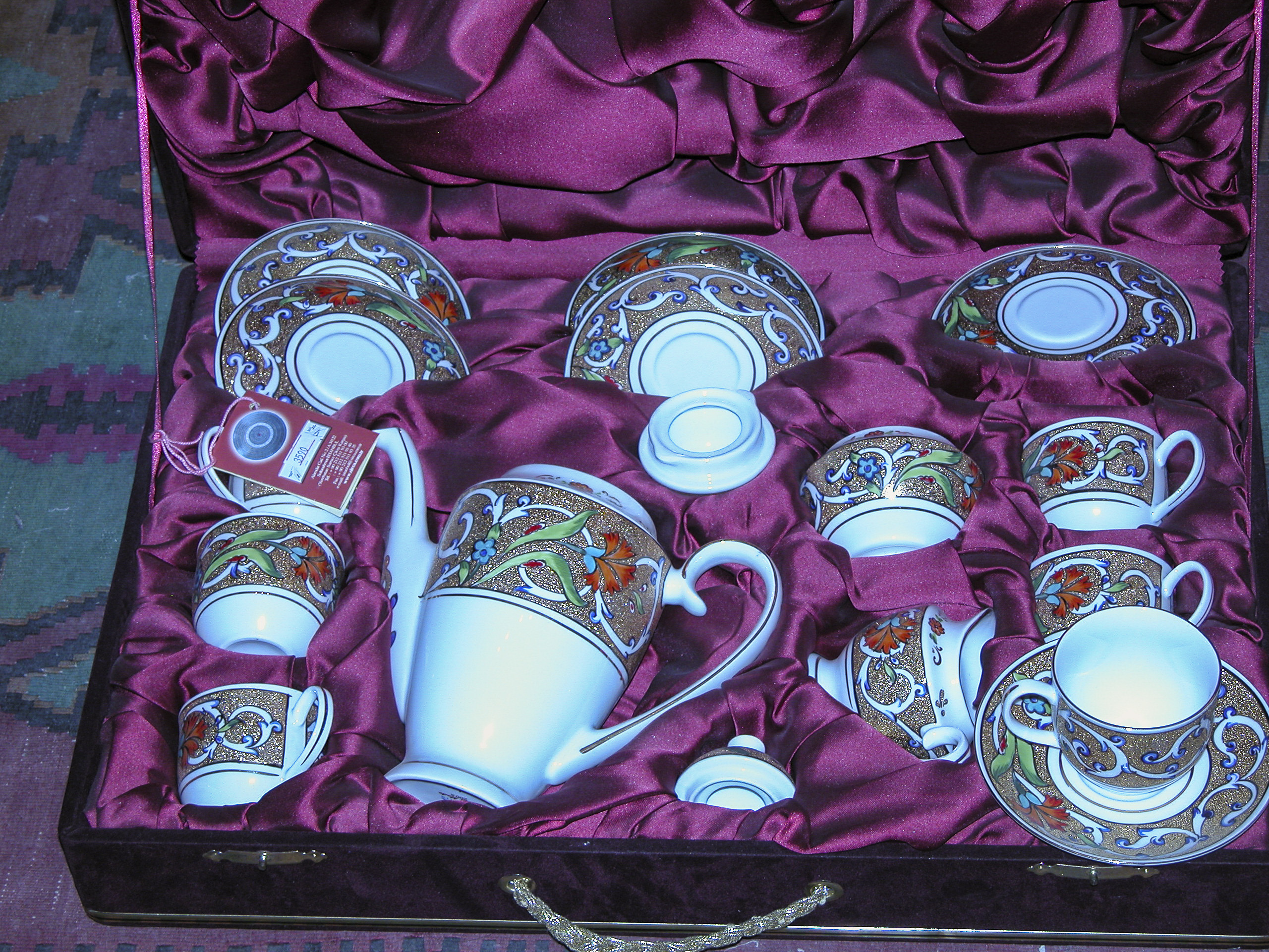
Continuing our rounds of the shop, we came across this beautiful 17-piece tea set, packed in a velvet-lined wooden box.

17 pieces, in a velvet-lined case.

There were several such tea sets, very similar but in different color schemes.

17 pieces, in a velvet-lined case.

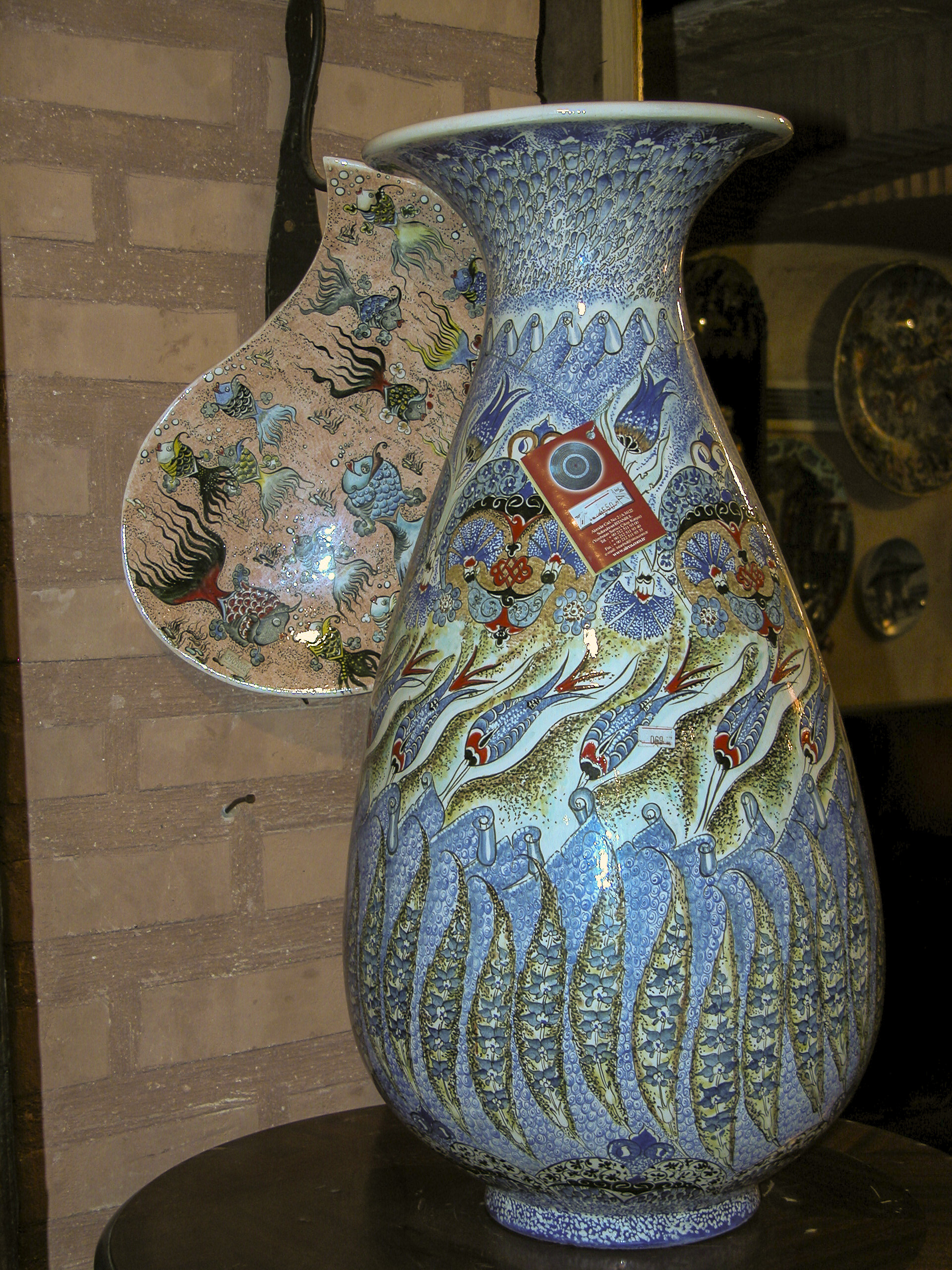
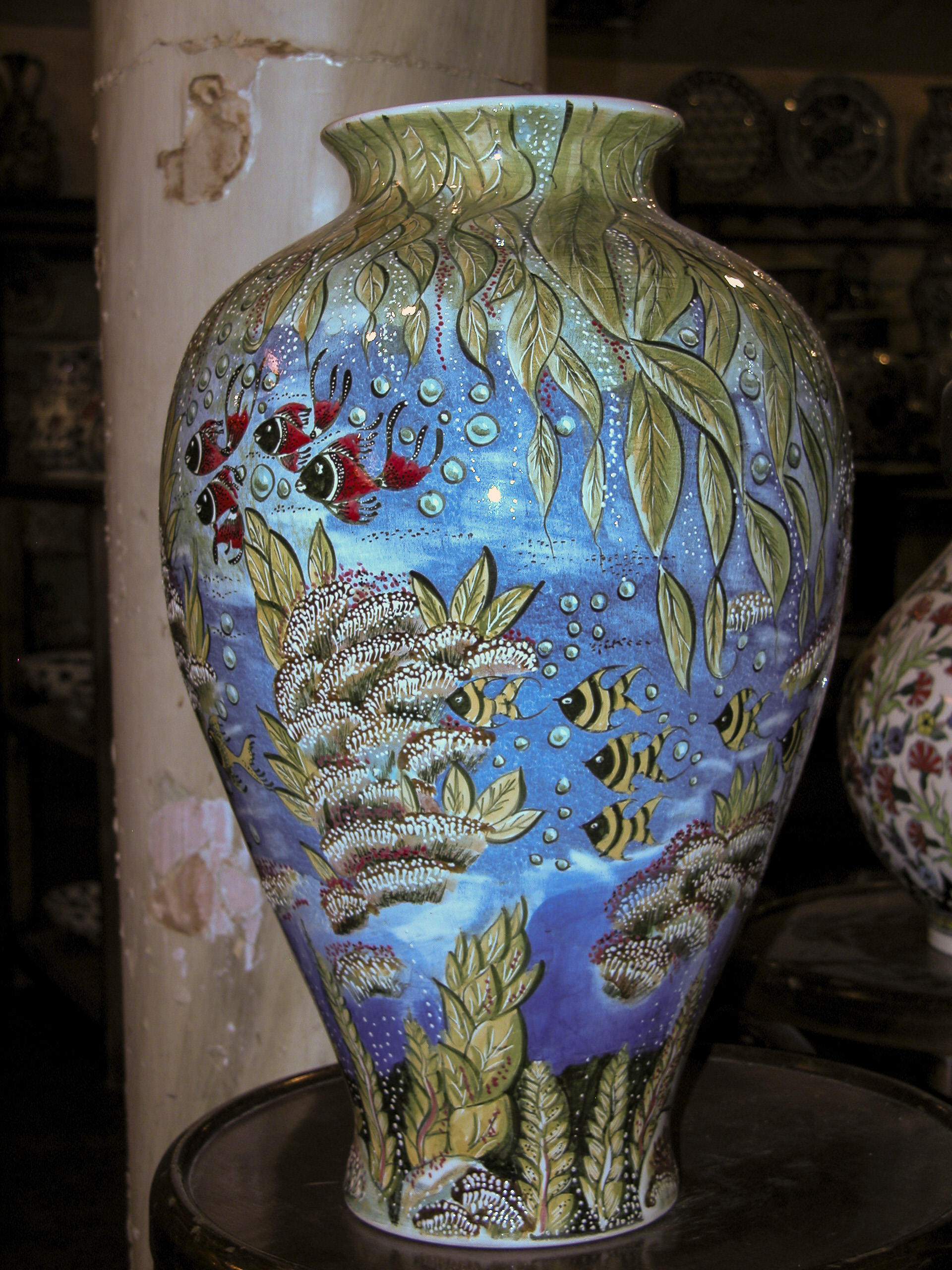
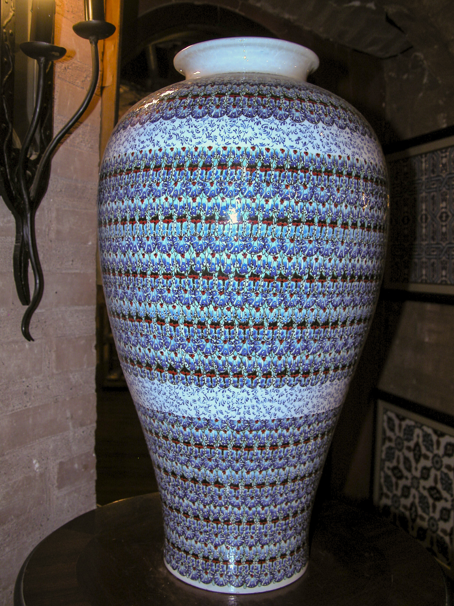
Urns and vases were well-represented among the shop’s wares. Like the plates, many of them featured aquatic and marine motifs.

Aquatic themes were a favorite motif for plates and vases.

Some areas in the pottery shop were quite dim, so it was fortunate that my Nikon prosumer camera had a built-in flash. Sandie’s little Canon did not, so she wasn’t able to take many pictures in the pottery shop.

Another urn with a marine theme.
An urn without an ode, but decorated with an intricate and elegant abstract design.
Another abstract design, with a bit more green in it than the previous item.
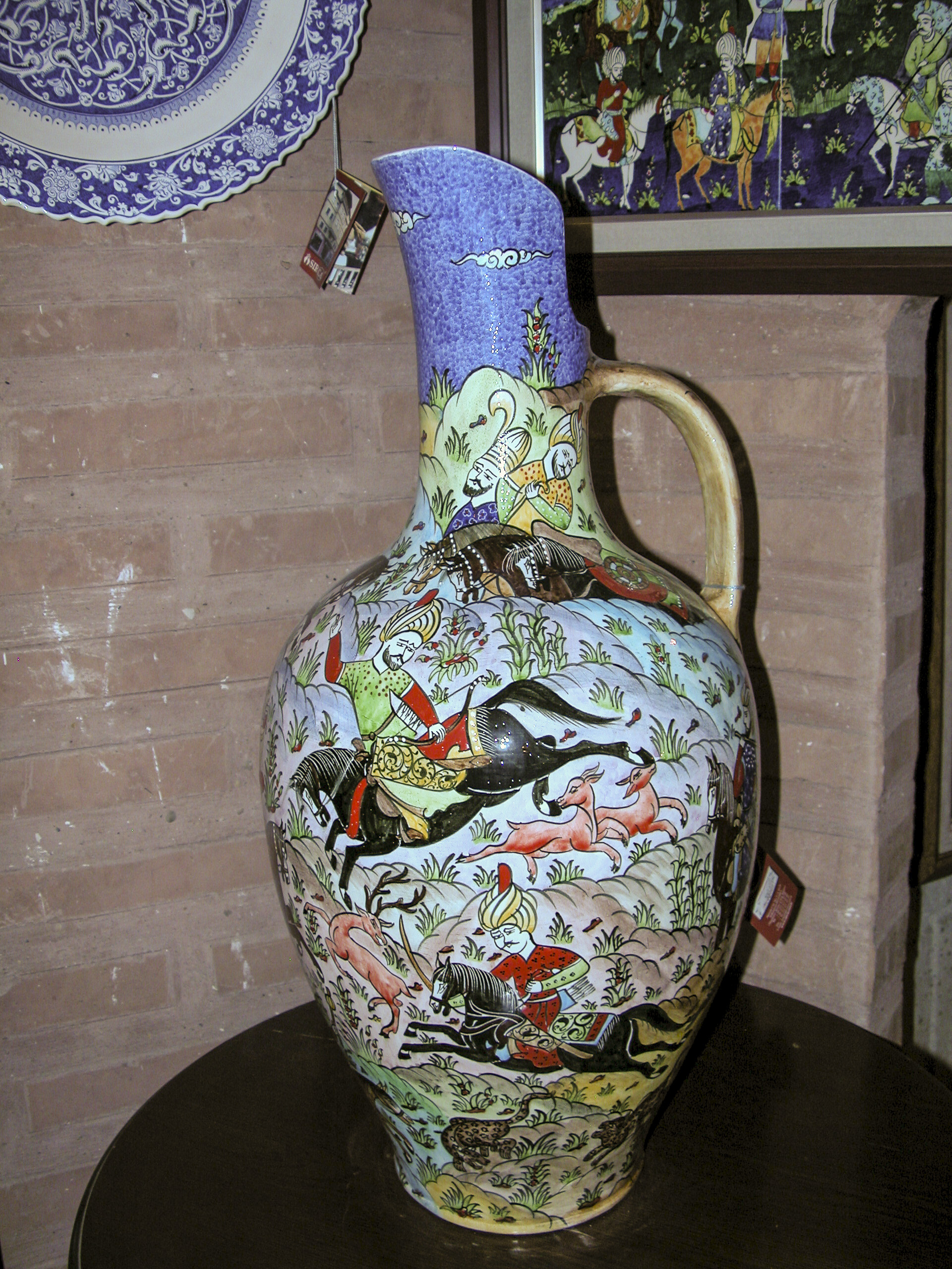
This finely painted jug featured Turkish noblemen on horseback pursuing various wild animals.

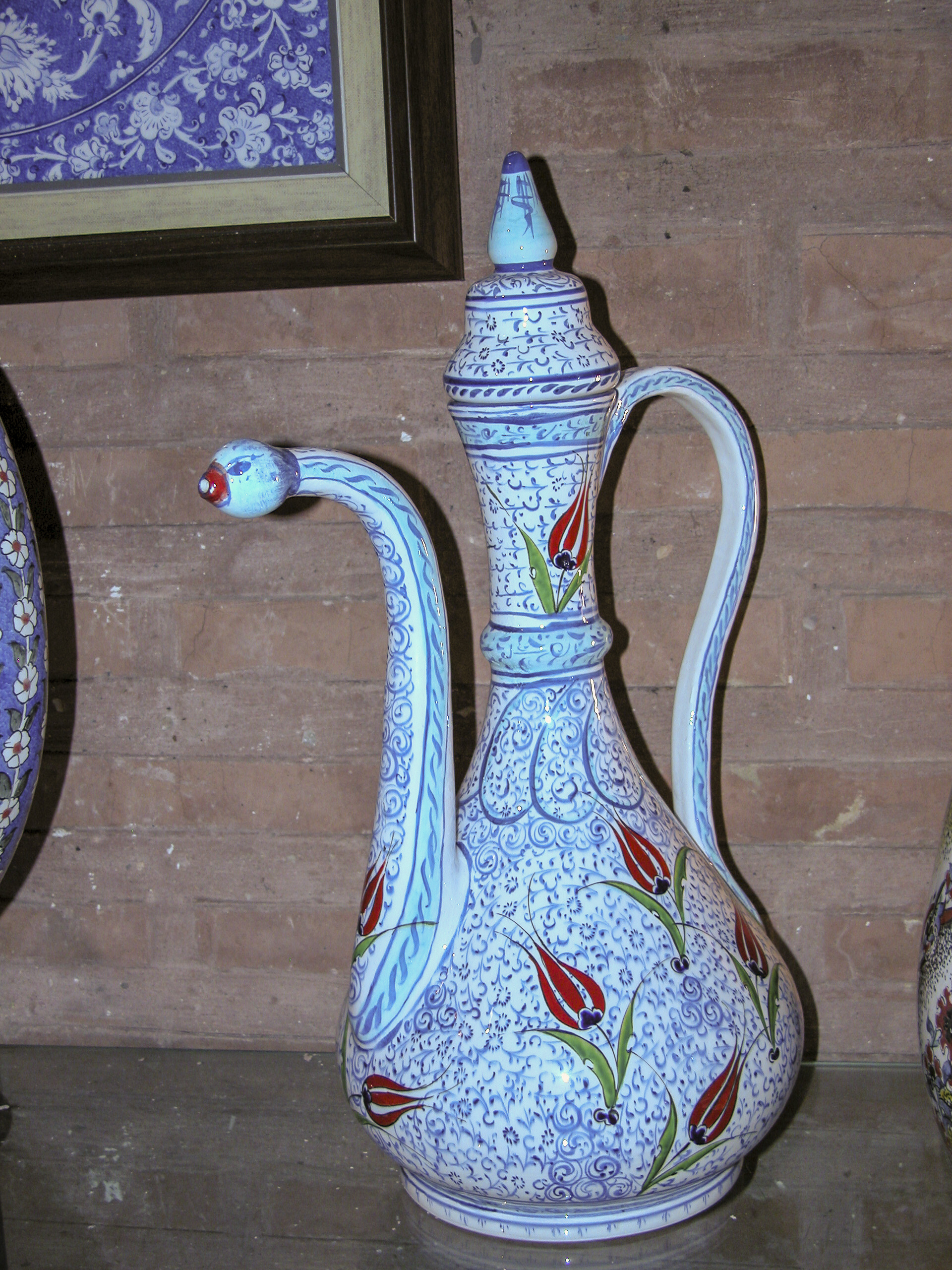
I loved the elaborate shape, complemented by the simple but exquisite floral decoration, of this elegant Turkish coffeepot.

Complex shape, decorated with a simple but effective floral motif.

Next to the Turkish coffeepot was a blue wine decanter, with a painting of somewhat similar color scheme on the wall behind it. Clearly they were hoping to sell these as a pair.

Wine decanter paired with a matching painting on the wall behind it.

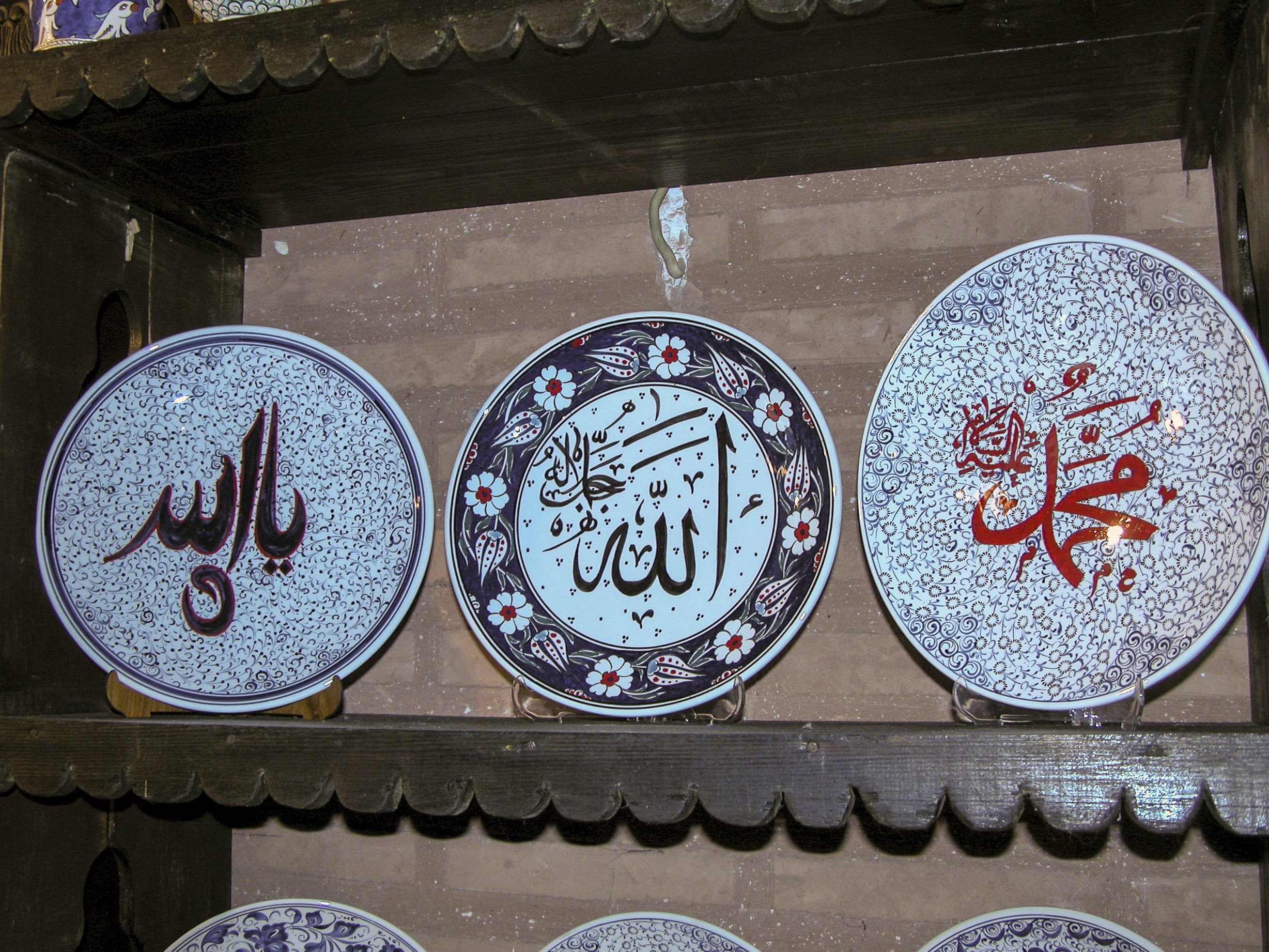
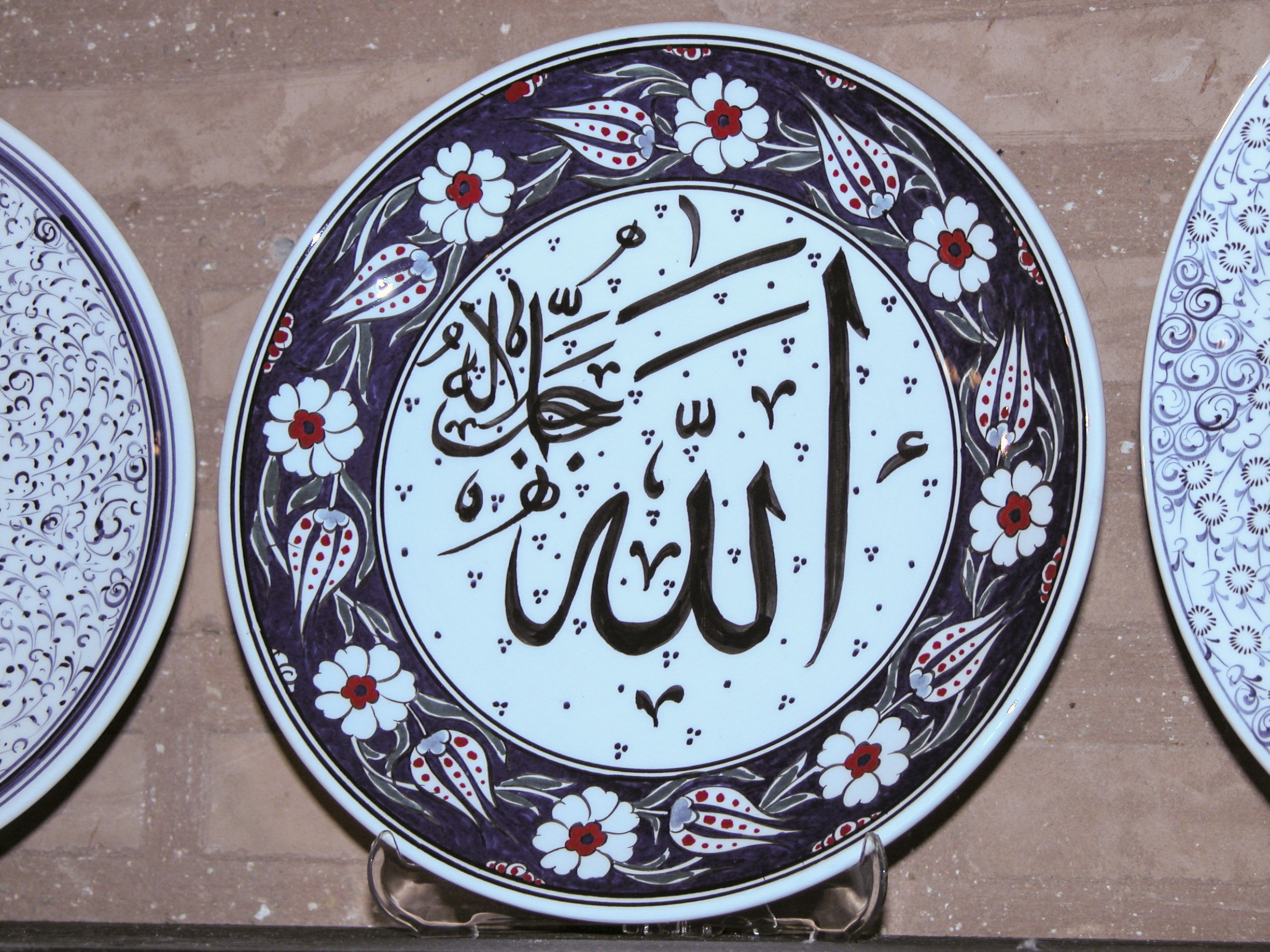
Returning to the plate department, I greatly enjoyed the elegant stylized Arabic script decorating these next three, although for all I know it may say something like “Death to Infidels” or “You are the illegitimate offspring of an unholy union between a donkey and a camel.”

I find the calligraphic art on these plates quite pleasing.

Of the three plates on this shelf, my favorite combined a floral design with what appears to be a mishmash of Arabic script and Greek letters.

My favorite calligraphic plate.

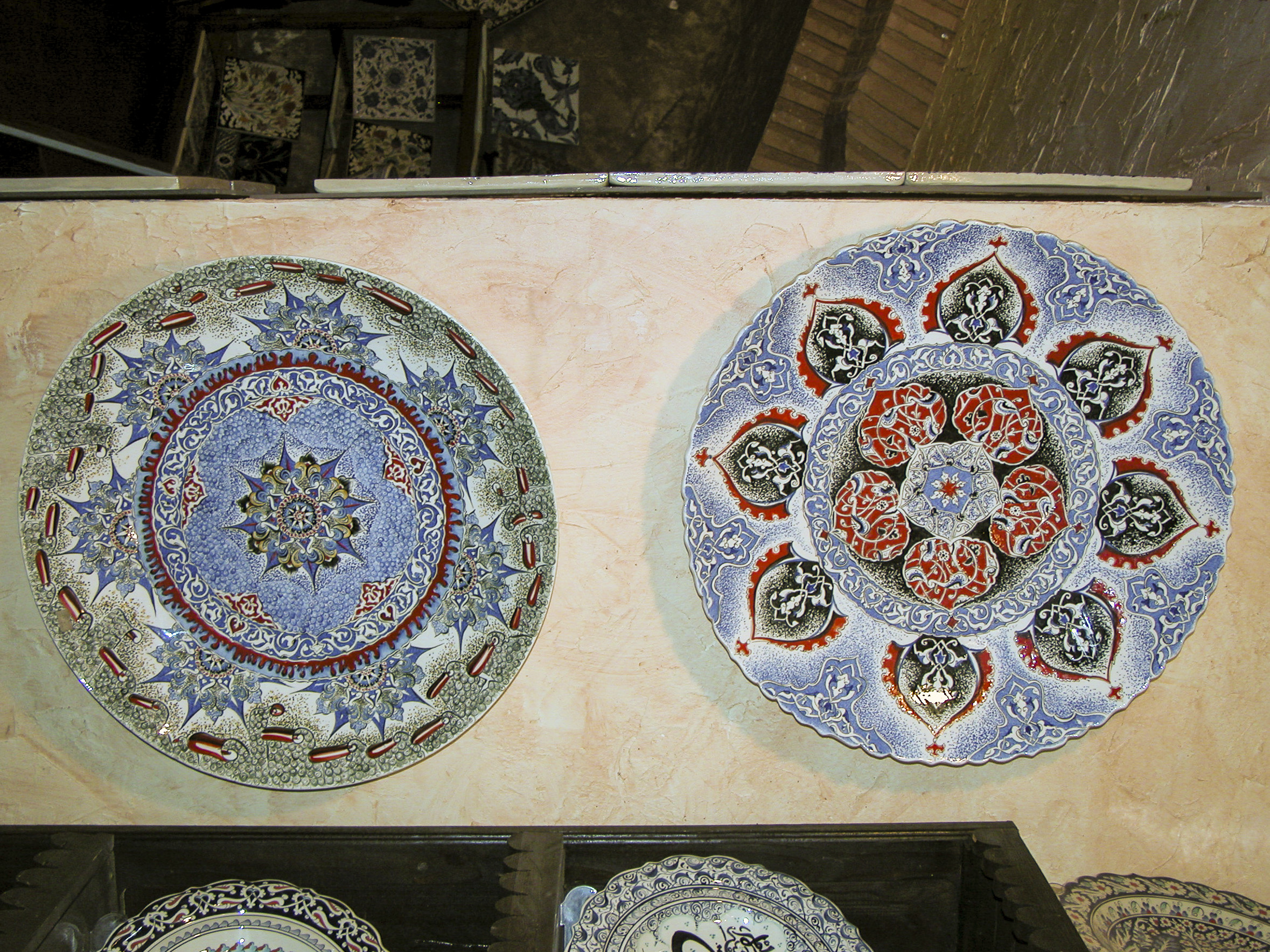
But for me, still more pleasing were the intricate abstract patterns on the two items shown below.

These seemed to be a cut above many of the others.

I’m not sure what sort of creatures the artist intended to represent here, but the juxtaposition of the animal and floral life was superbly executed.

I’m not sure what sort of creatures the artist intended to represent here, but the juxtaposition of the animal and floral life was superbly executed.

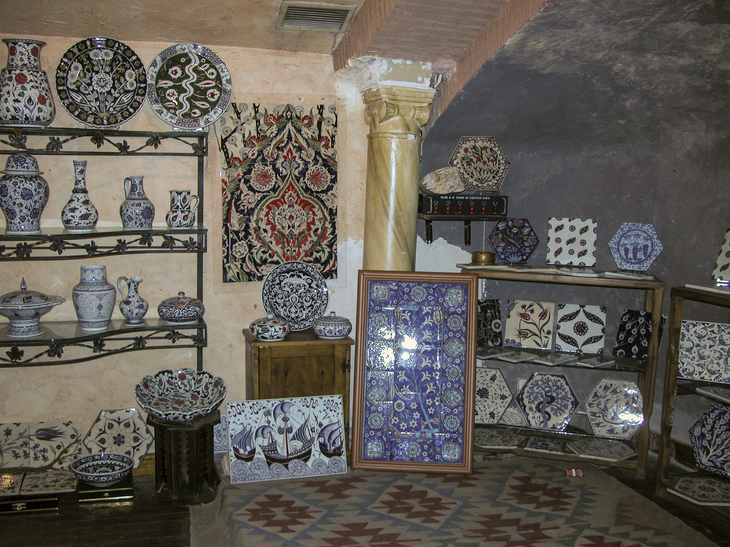
This room featured a wide variety of ceramics, including the hexagonal tiles, which I saw few of elsewhere. Rather at odds with the rest of the display is the cheap-looking faux-marble Ionic column in the center, which appears to be an unfinished, ill-conceived and poorly integrated addition to the room.

This room featured a wide variety of ceramics, including the hexagonal tiles, which I saw few of elsewhere.

Ceramic tiles are my preferred choice for flooring as well as bathroom and kitchen surfaces, and this shop had an excellent selection. I would gladly have any or all of them in my house – if I could afford them, which would be unlikely.

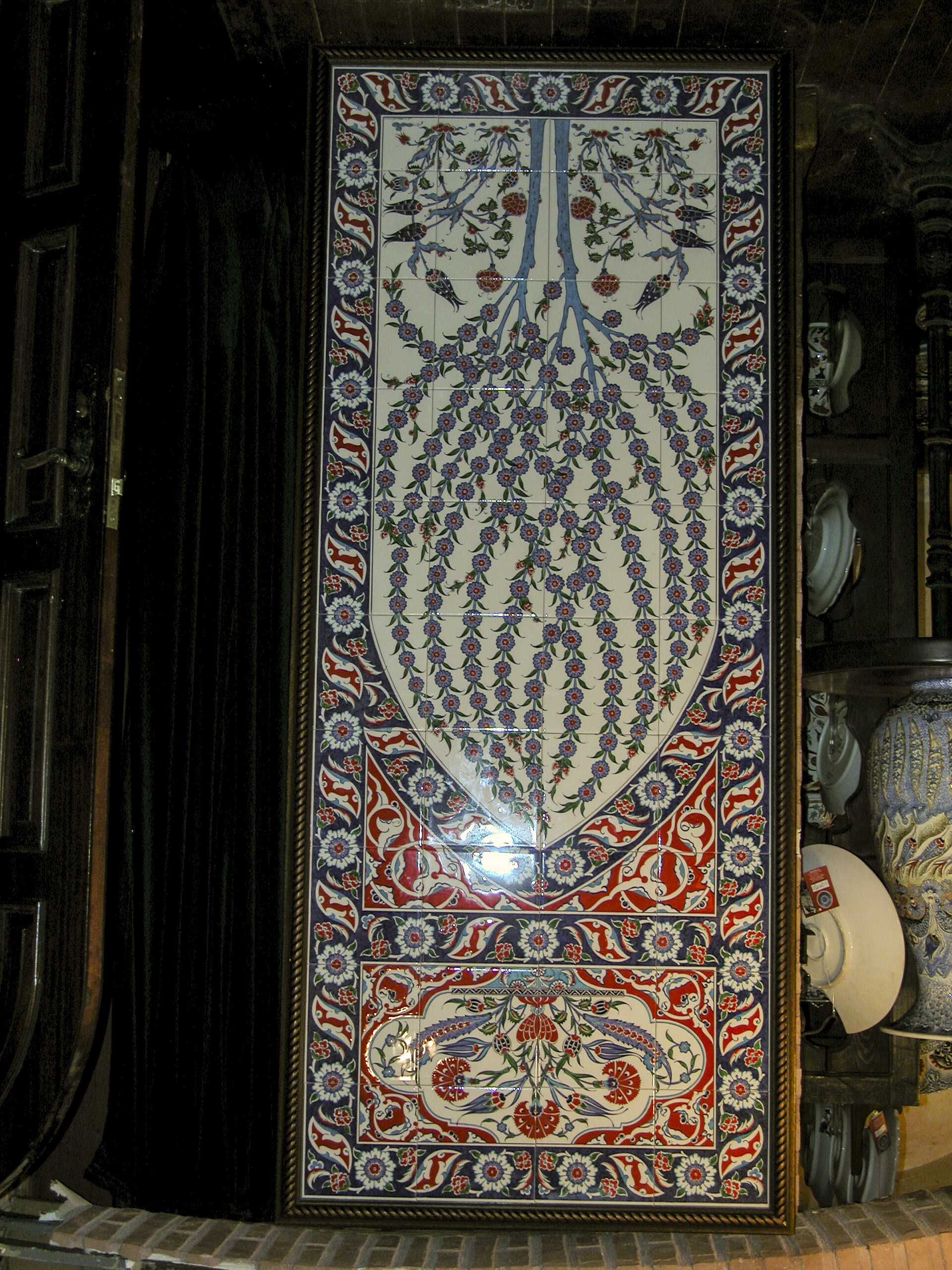
A tour de force of beautiful and varied tilework.

I don’t know whether there is a specialized term that applies to this type of composite-tile panel, so I just call it a “tile mosaic.” Regardless, I found this a particularly pleasing example of the genre.

This type of tile mosaic really captures my fancy.

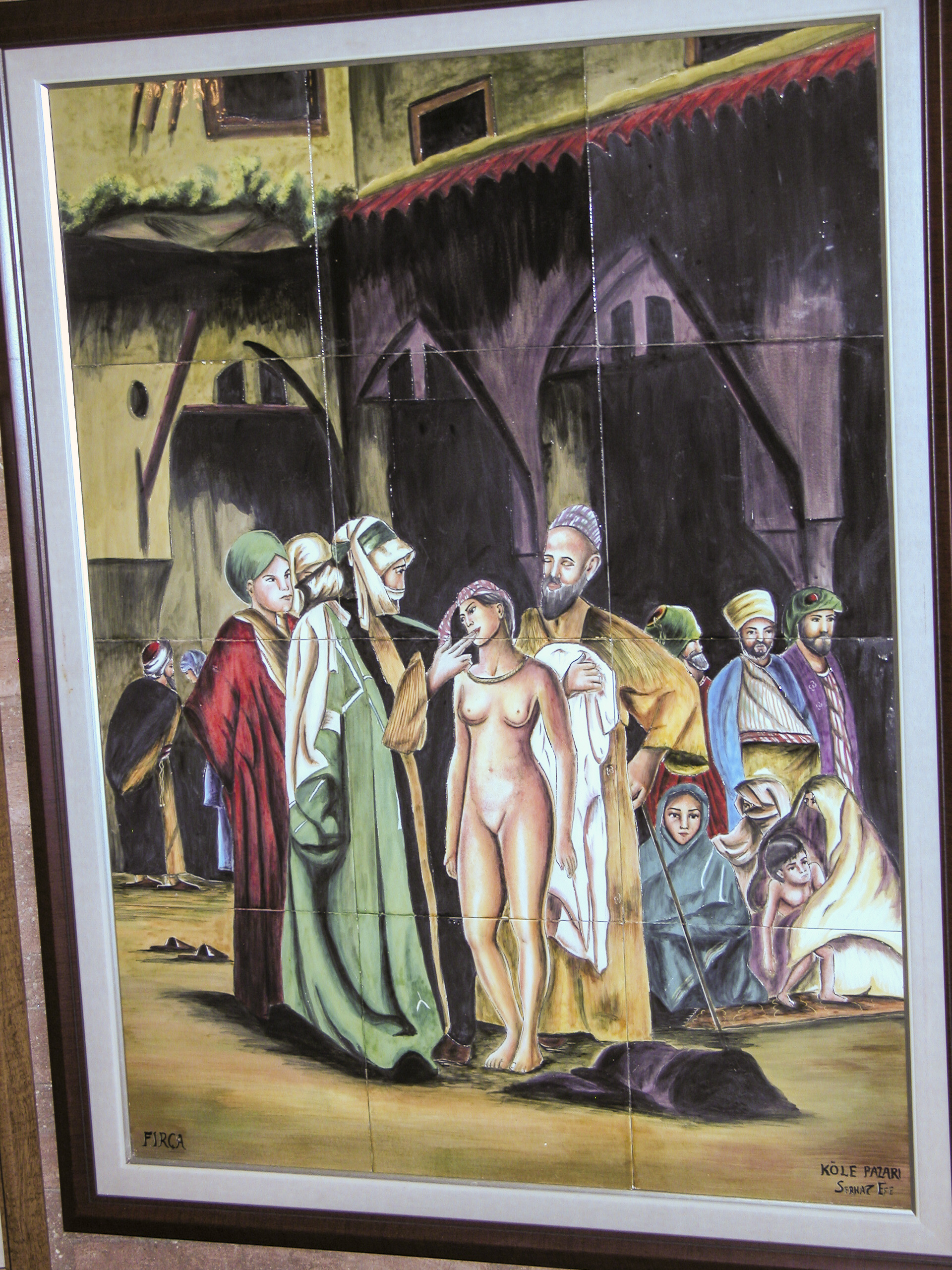
The tile mosaic in the next photo appears to depict a scene in a slave market, where a prospective customer sticks his fingers into the mouth of the naked slave girl being auctioned off by way of checking her teeth. I found this piece to be in rather poor taste and of little artistic merit, and I’m surprised that Turkish (or foreign) feminists hadn’t hounded it off the market. To be fair, it was the only one of its kind I saw in the shop.

The scene depicted by this mosaic was uncharacteristically risqué for this shop.

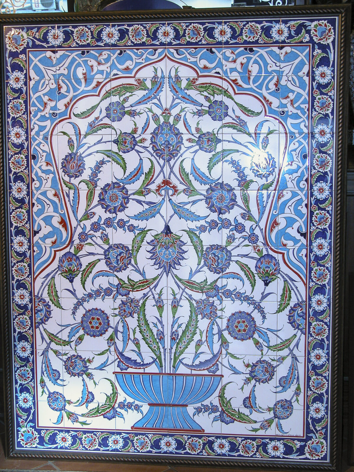
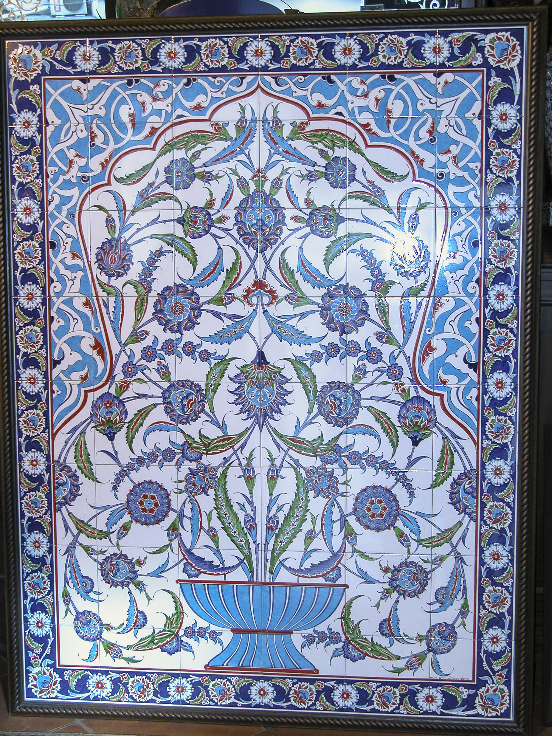
This next tile mosaic was my absolute favorite. I would be delighted to have it on my shower wall.

Floral Tile Mosaic

Chuck and Elouise Mattox seemed to enjoy the ceramics just as much as Sandie and I.

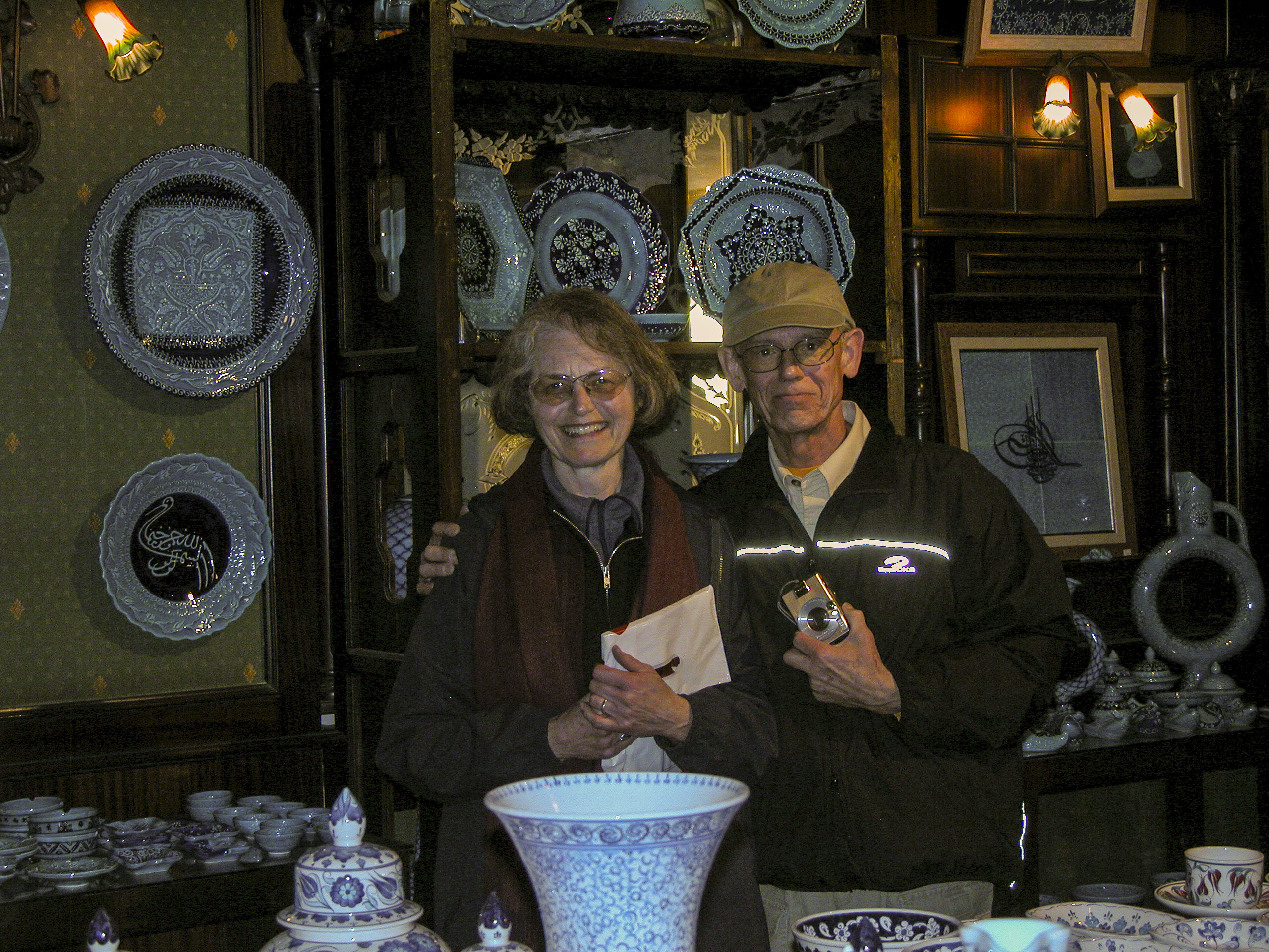
Elouise and Chuck Mattox, browsing the wares in the pottery shop.

Sandie and I resisted the almost irresistible temptation to acquire any of the exquisite pieces on display. For one thing, we had already spent all our spare cash on the rug we bought in the Doğus Hali carpet factory. Another consideration was that I wasn’t very confident that we could get an expensive, fragile ceramic home safely in our luggage, and it would be prohibitively costly to have it shipped.

Categories
Turkey, March-April 2006

Istanbul, March 30, 2006: The Basilica Cistern

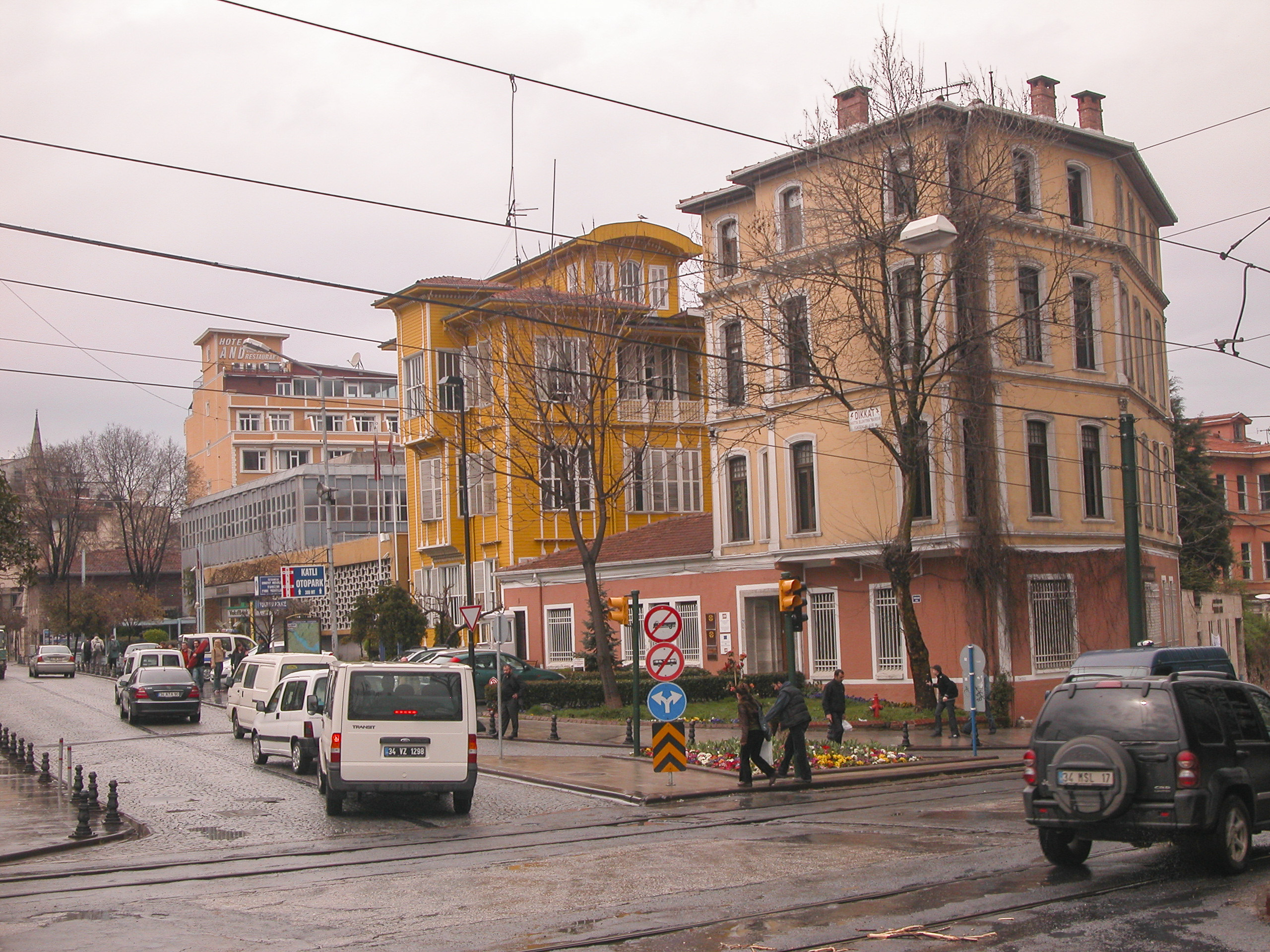
A short walk from the Blue Mosque brought us to the entrance to the Basilica Cistern, or Yerebatan Sarnıcı in Turkish, perhaps the most offbeat of all the attractions we enjoyed in Istanbul. On the way, I was able to snap a couple of photos of the more representative sights of the city, such as the apartment buildings below.

Apartment houses in the Sultanahmet district, en route to the Basilica Cistern.

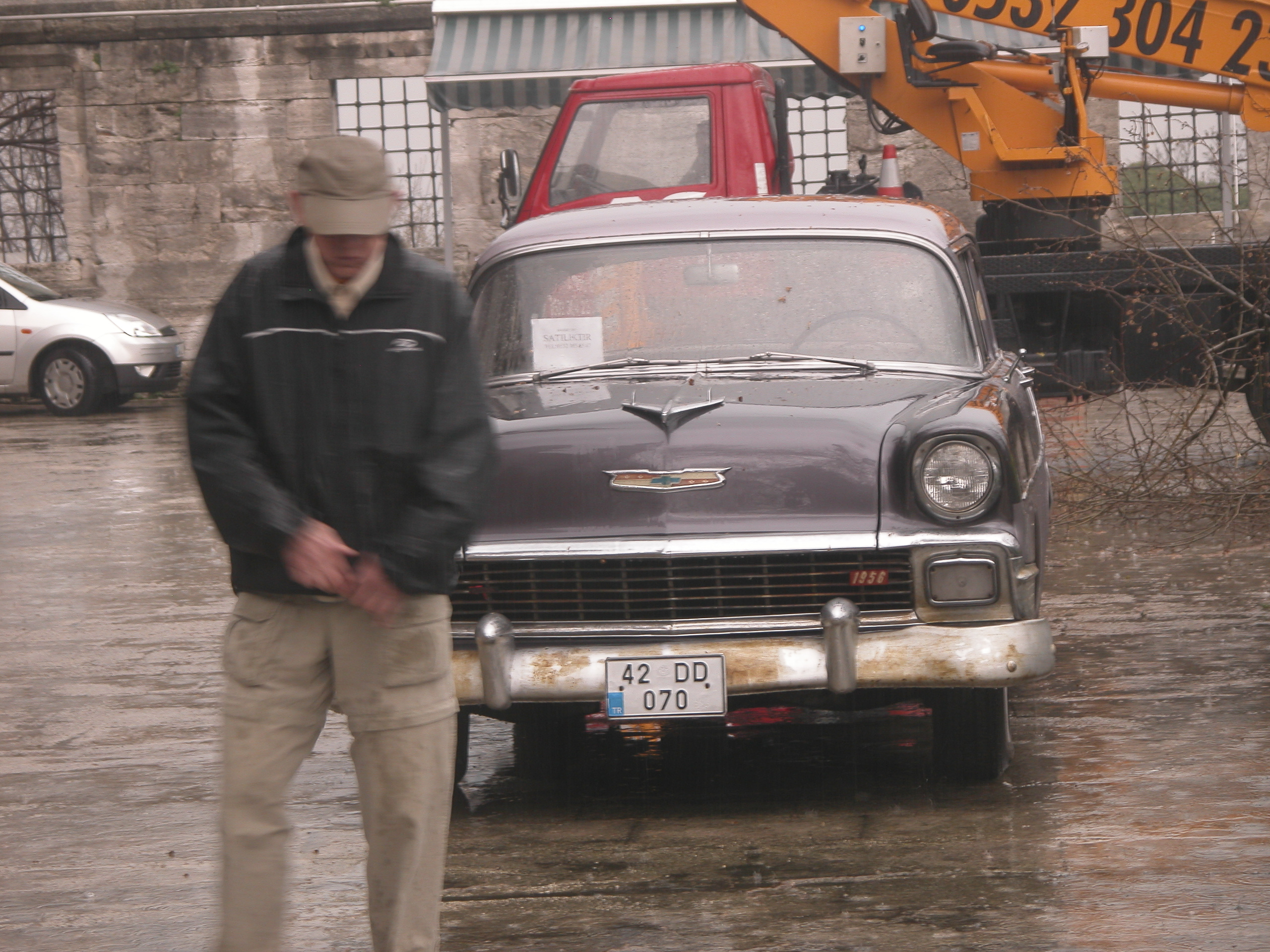
Along the way we discovered that Istanbul was a good place to find all kinds of old American cars, such as this 1956 Chevy sedan, shown in the next picture. Unfortunately, as I shot the picture a scruffy character, who was not the owner, but rather one of the homeless vagabonds populating the district, happened to slip into the field of view.

Istanbul was a good place to find all kinds of old American cars, such as this 1956 Chevy sedan. The disreputable character standing in front of it is not the owner.

We descended a 52-step staircase into the underground world of the Basilica Cistern, so called because it was built on the site of the Basilica of Ilius, a great public building dating from the third or fourth centuries which was destroyed during the Nika riots of 532. Emperor Justinian then had the cistern built to ensure a reliable supply of fresh water to his Great Palace, as well as Hagia Sophia and other sites. There are a number of ancient cisterns in Istanbul, but the Basilica Cistern is the largest; it is immense, occupying an area of 105,000 square feet, or 9,800 square meters, and capable of holding 2,800,000 cu ft (80,000 cubic meters) of water. It does not actually hold that much water now; it is left mostly empty so that visitors can walk around it on the platforms and walkways built for the tourist trade.

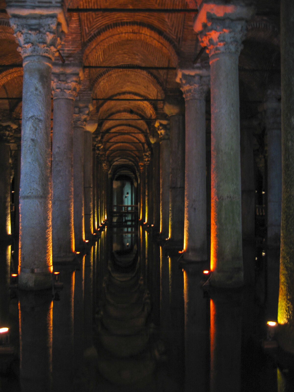
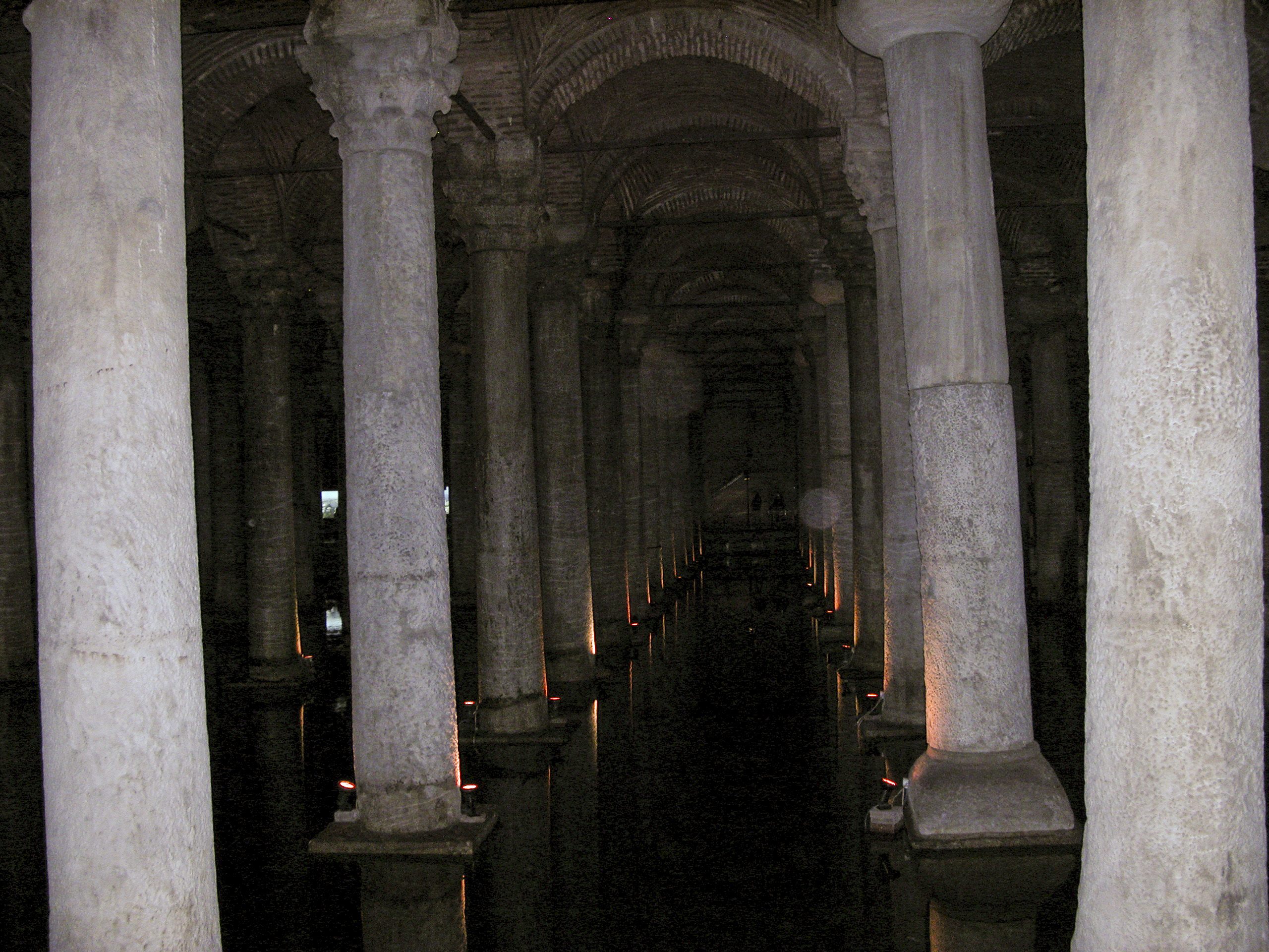
336 marble columns support the ceiling of the Cistern.

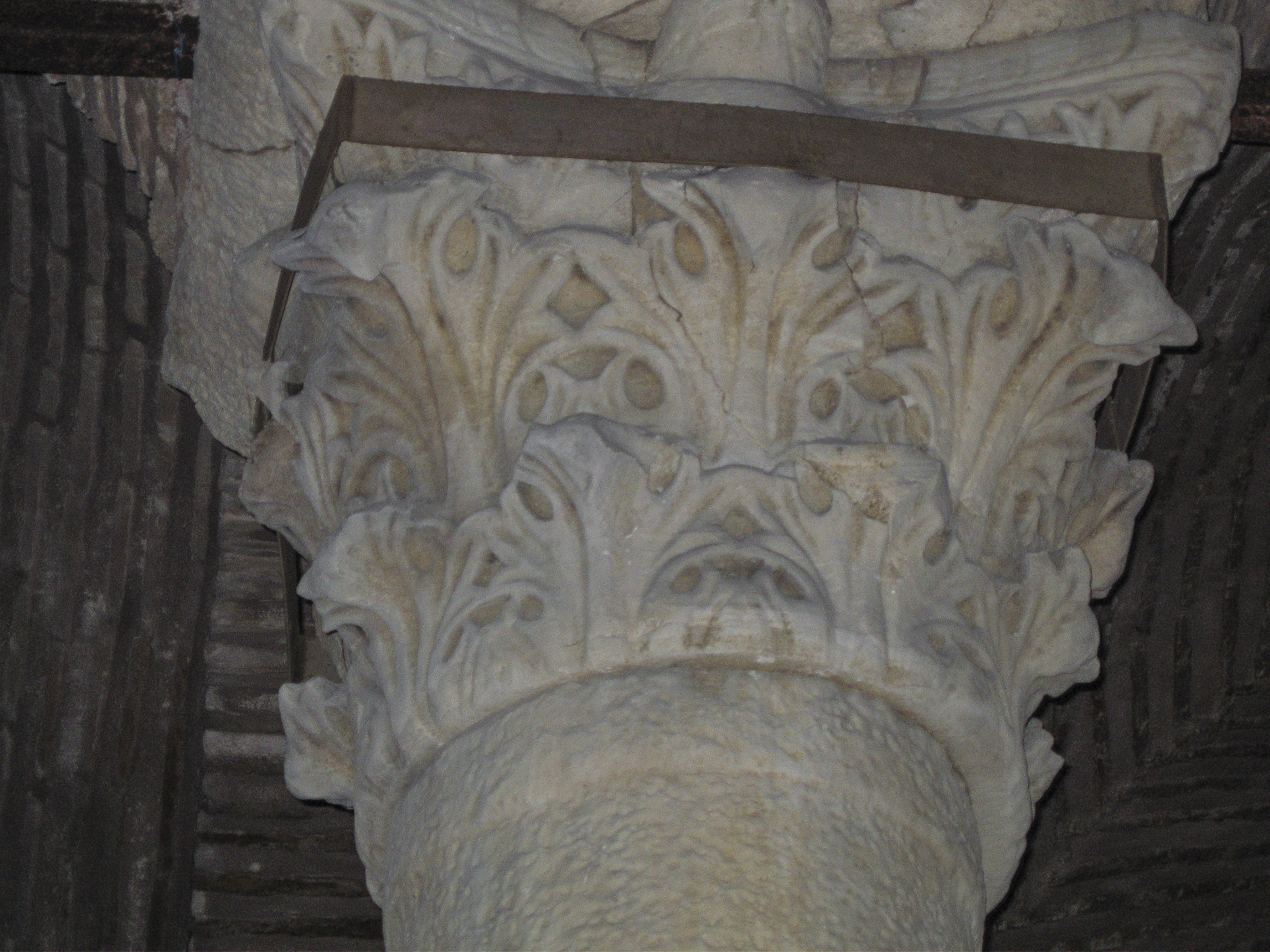
336 marble columns support the ceiling of the Cistern. Each column is 9 metres (30 ft) high. They are arranged in 12 rows of 28 columns spaced 5 metres (16 ft) apart. The columns are of disparate styles and origins; a few are Doric, the rest Ionic or Corinthian in style. They were not originally built for the cistern but rather plundered from other structures and brought to Constantinople from places all over the empire.

The Basilica Cistern was constructed with columns salvaged from ruins of older buildings, brought to Constantinople from all parts of the Roman Empire.

The Basilica Cistern has been featured in a number of movies, including the James Bond thriller From Russia With Love, in which Bond took advantage of its location under the Soviet Consulate to get access to a cryptographic machine. In reality, the Consulate is in the district of Beyoğlu, near our hotel but far away from the Cistern.

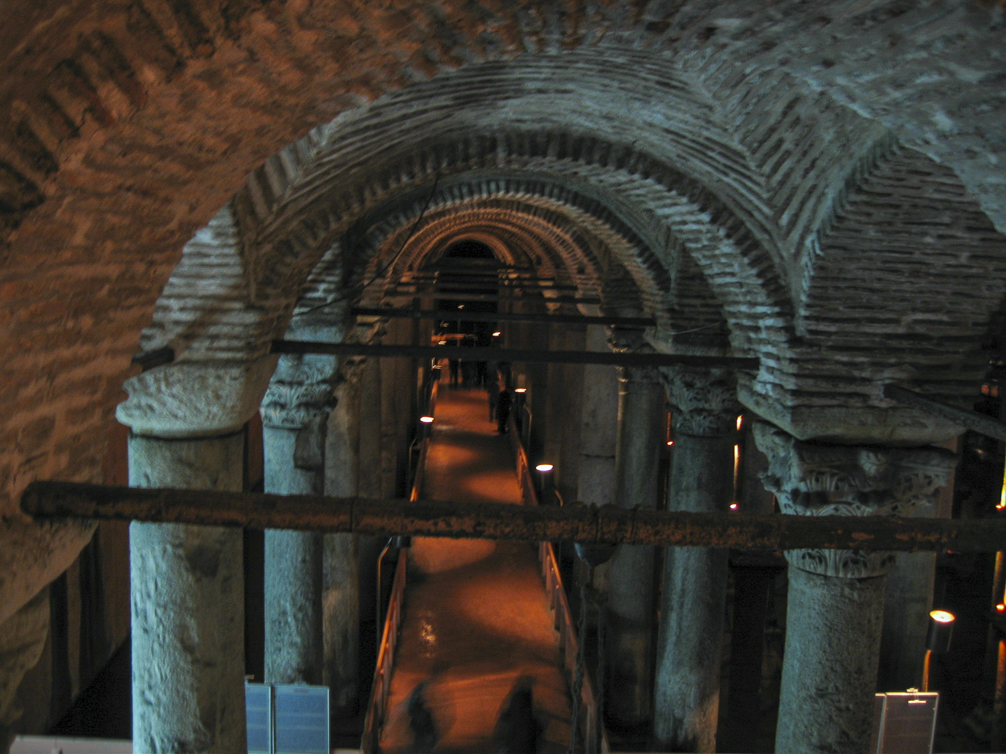
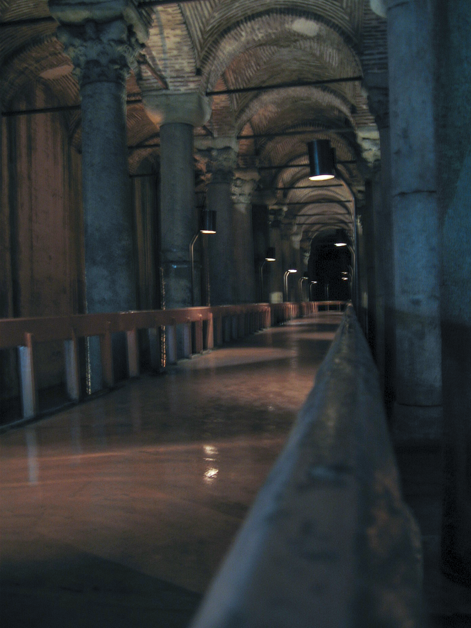
Originally the only way to navigate around the Basilica Cistern was by boat. The platforms and walkways were built for the tourist trade, and the Cistern is left mostly empty for the same reason.

The walls of the Cistern are 13 feet (4 meters) thick, built of brick coated with waterproof cement. Water was brought to the Cistern from the Belgrade Forest, 19 kilometers from Constantinople, through Roman aqueducts. (Note: the Belgrade Forest is nowhere near the capital of Serbia, which is 952 km from Istanbul,)

This view provides a perspective on the immense size of the Basilica Cistern, which occupies a rectangle 450 feet (140 meters) long by 210 feet (70 meters) wide.

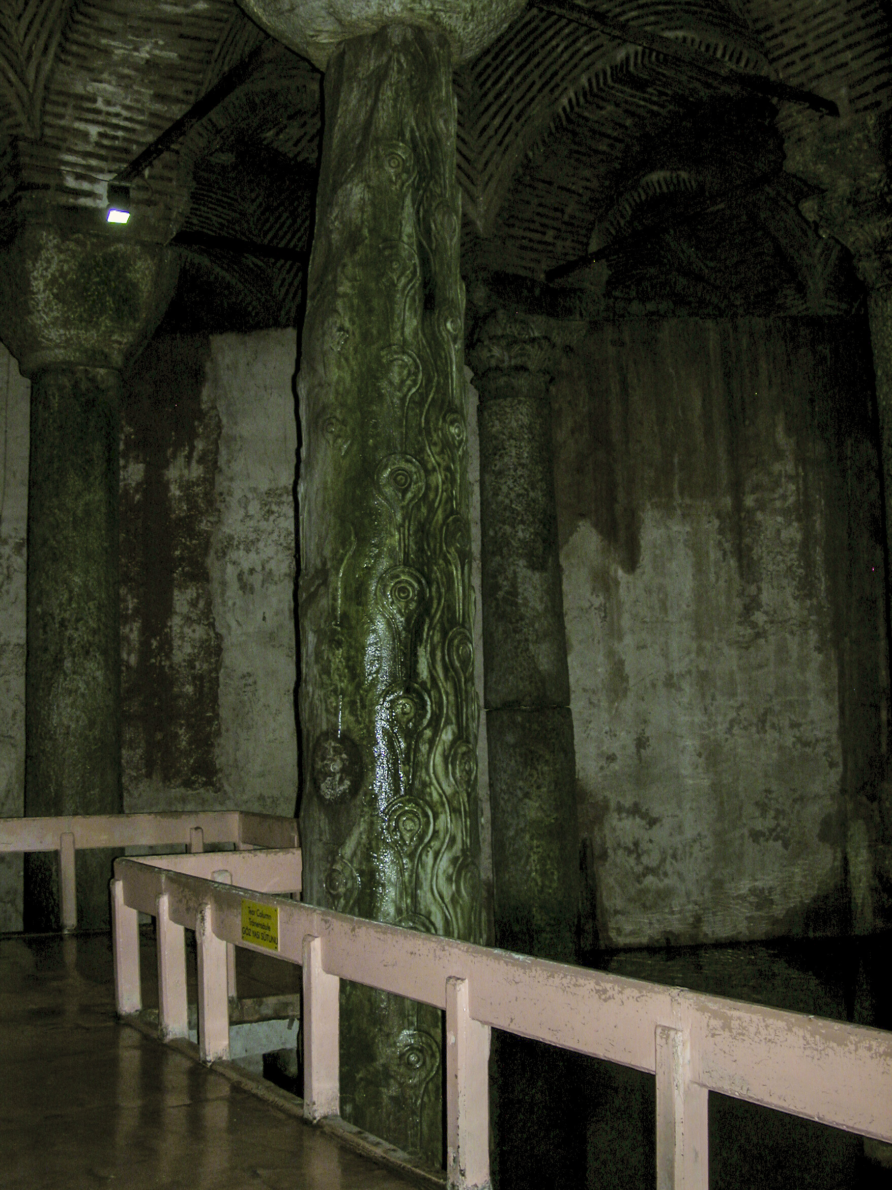
One of the columns is engraved with pictures of a hen’s (or peacock’s) eye, slanted branches, and tears. Supposedly the tears on the column commemorate the hundreds of slaves who died during the construction of the Basilica Cistern (over 7,000 slaves in all were said to have worked on the construction of the cistern, though presumably not all of them died).

A column engraved with raised pictures of a hen’s eye, slanted branches, and tears. Legend says that the tears pay tribute to the many slaves who died during the construction of the Cistern.

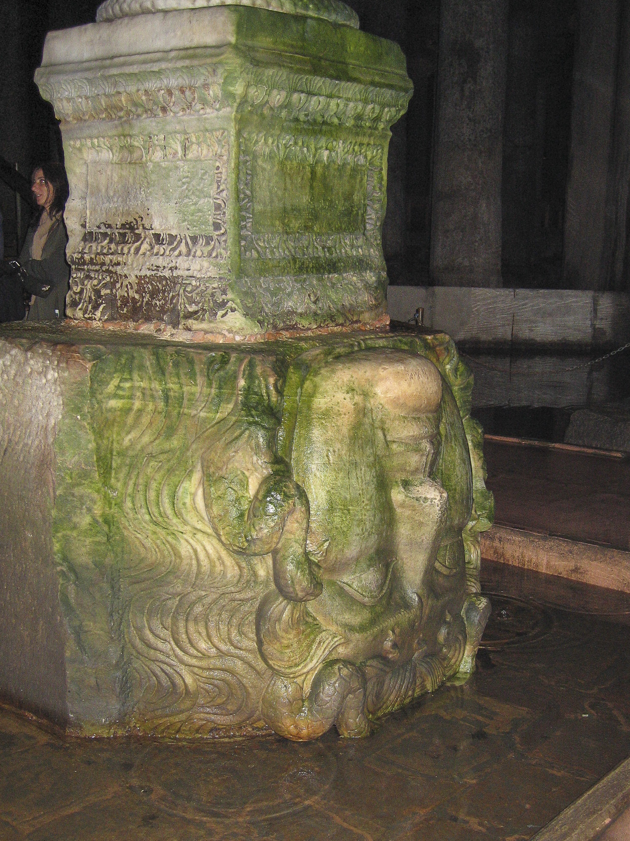
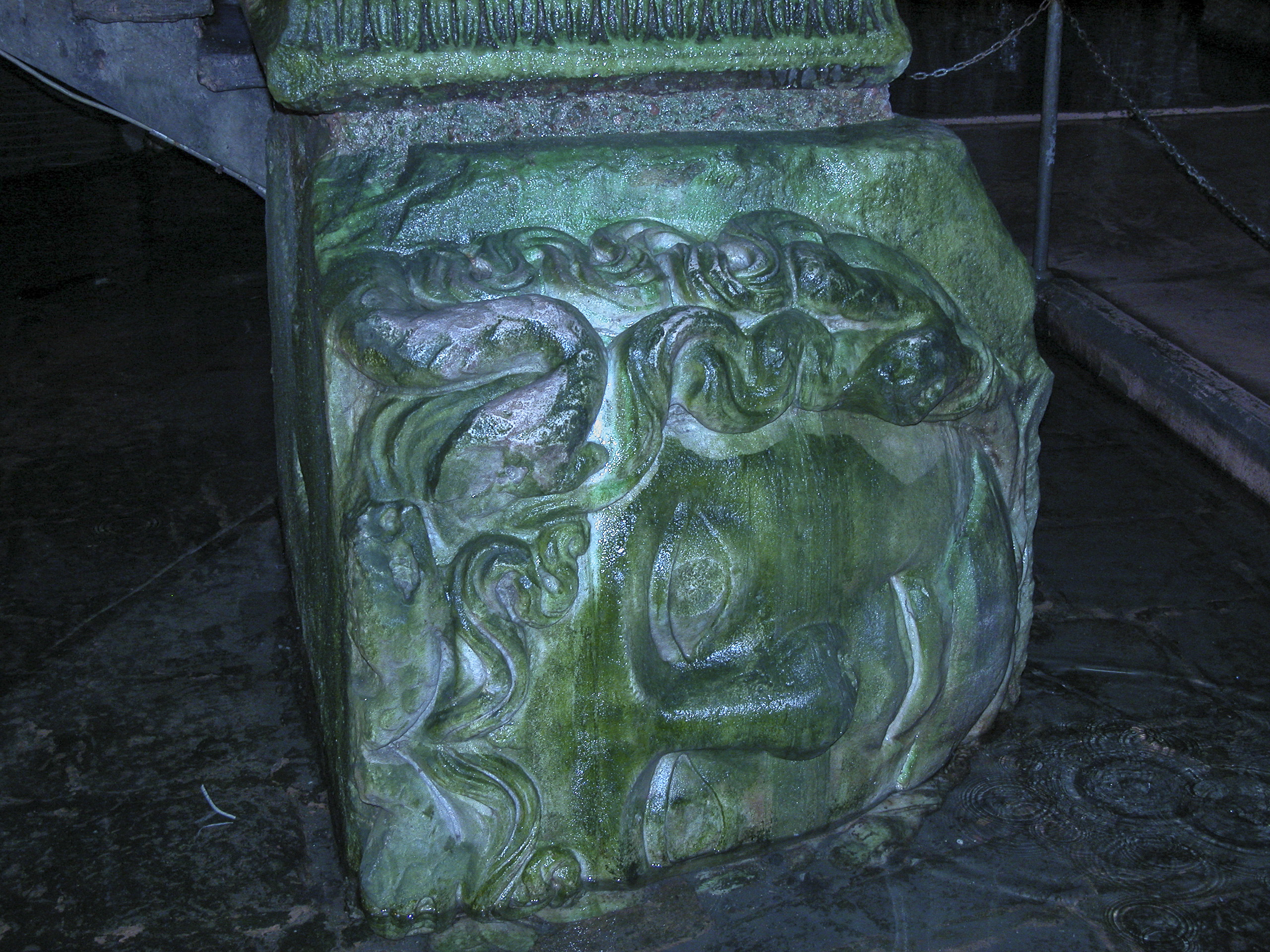
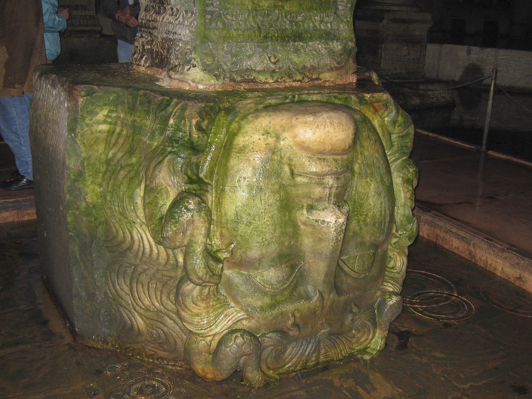
At the base of two of the Cistern columns are pedestals carved in the shape of Medusa’s heads. You will recall that in Greek mythology the Medusa was a woman who evoked the jealousy of the goddess Athena when she copulated with Poseidon, god of the sea, in Athena’s temple; in retribution Athena turned her into a Gorgon, a creature with the body and head of a woman, but with living venomous snakes for hair, whose gaze turned living creatures to stone. Eventually she was beheaded by the hero Perseus, who used mirrors to accomplish the deed without looking directly into her eyes. Perseus then took her head, which retained its power to calcify, put it in a bag, and pulled it out whenever he wanted to turn somebody into a statue. He used it to save the beautiful princess Andromeda, who was to be sacrificed to the sea monster Cetus. All three of them were later transformed into constellations in the sky, along with Andromeda’s parents, Cepheus the King and Cassiopeia the Queen. Medusa did not become a constellation but had a nebula named after her; you can see a picture of it in my astrophoto gallery, but remember to use a mirror if you look at it.

There are two marble Medusa heads in the Basilica Cistern, both used as column pedestals. Their origin is unknown. This one is upside-down.

One of the Medusa heads is turned sideways because – so the story goes – only in that position was it the right size to support the column at the correct height to line it up with all the others.

It is thought that this Medusa head was placed sideways because only that orientation made it the right height to support the column on top of it.

But that explanation doesn’t work for the other Medusa carving, which is upside-down, because it would be the same height if it were right-side up.

Why is this head placed upside-down? Legend says that it was to ward off the evil power of the Medusa’s gaze, which turned people to stone. Did people really think that a marble carving could have such powers? Or was there a more practical reason?
Categories
Turkey, March-April 2006

Istanbul, March 30, 2006 – The Blue Mosque

When we arrived in Istanbul on the morning of March 30, 2006, we found that the mostly sunny and balmy weather we had enjoyed on our travels from Izmir to Side had given way to clouds and rain.

Following the mostly clear skies we had for the eclipse, it was a shock to find that it was pouring rain on our arrival in Istanbul.
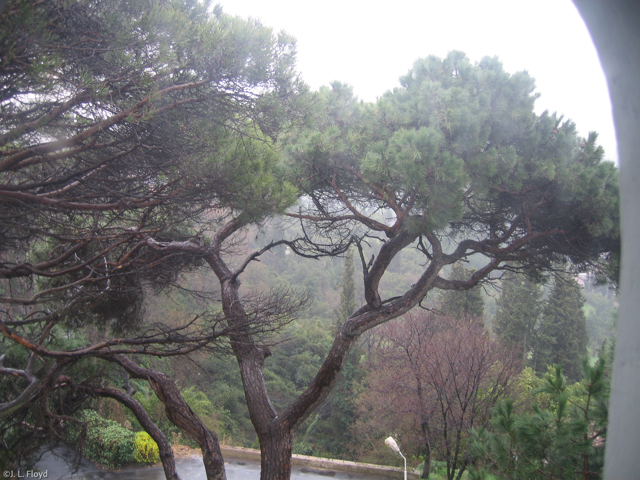
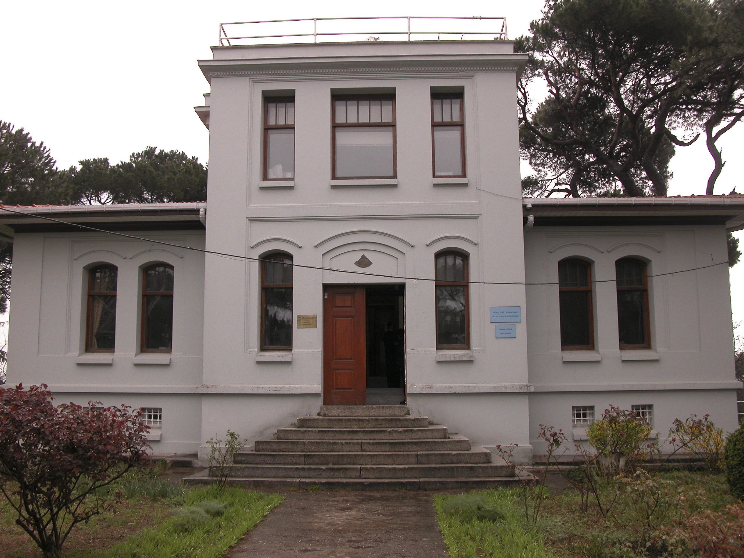
Our first stop after landing in Istanbul was the Kandilli Observatory, or more formally known as the Kandilli Observatory and Earthquake Research Institute, affiliated with Boĝaziçi University of Istanbul.

Our first stop in Istanbul, even before checking into our hotel, was Kandilli Observatory, or more precisely Kandilli Observatory and Earthquake Research Institute, which is located in the Kandilli neighborhood of the Üsküdar district on the Anatolian (Asian) side of Istanbul, atop a hill overlooking the Bosporus.. We stopped there first because the airport is also on the Asian side and the observatory was more or less on the way to the hotel. The observatory belongs to Boğaziçi University, a major research university in Istanbul.

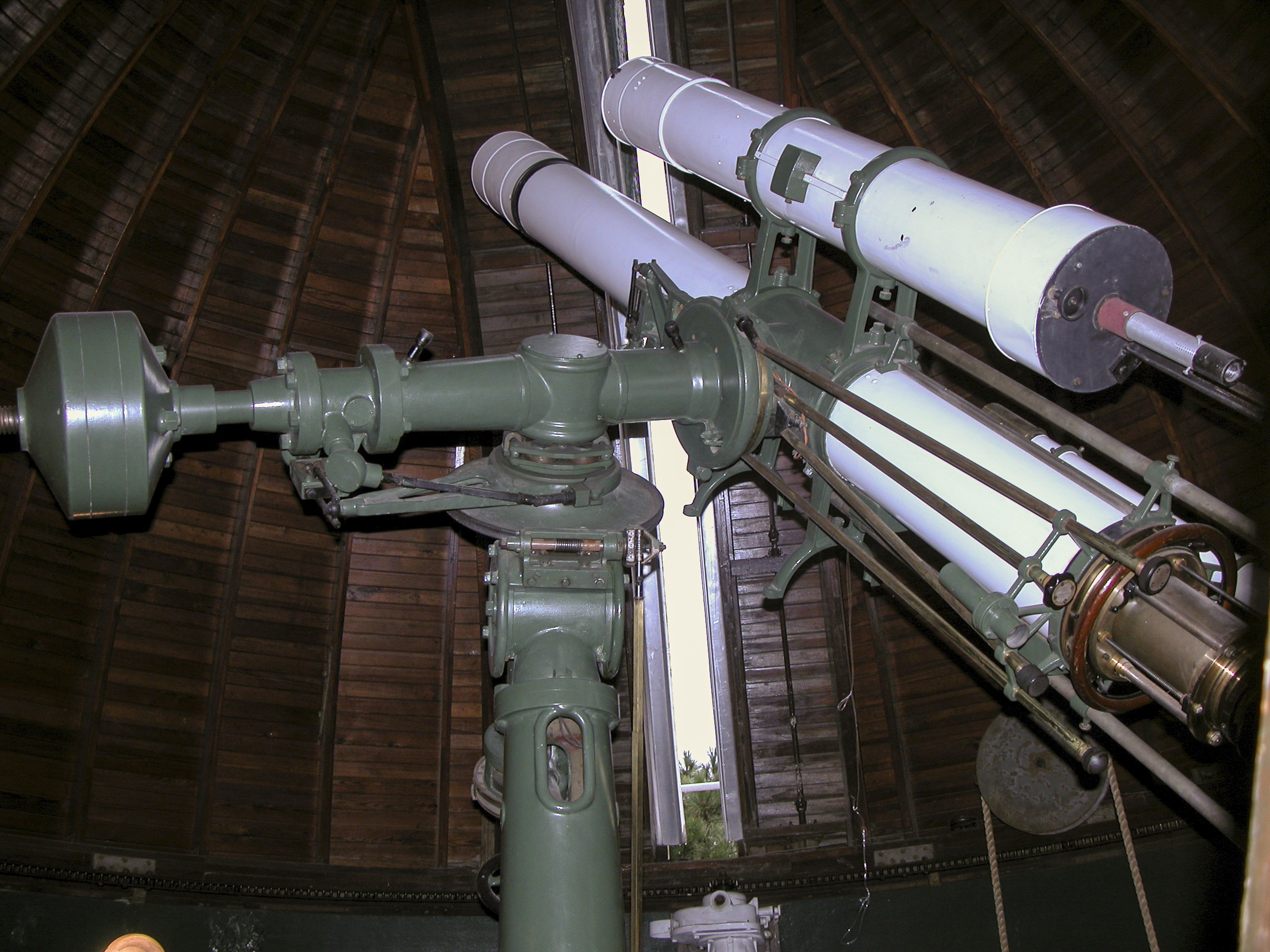
Kandilli has a 200 mm (7.87 inch) aperture Zeiss refractor mounted on an equatorial drive installed in a dome at the observatory building. It was purchased in 1918, but delivery was held up until 1924 because of the calamitous circumstances following the end of World War I. The observatory was not completed until 1935, and only then did the telescope go into operation. Initially it appears to have been devoted to solar observation and research. It was only the third research telescope delivered to Turkey; the first was destroyed in a fire during the Crimean War, and the second was a small (80mm) scope housed in an observatory which was destroyed in a riot in 1909, though the scope itself appears to have survived and ended up in a high school.

This venerable 200 mm Zeiss refractor was located in the dome atop the Observatory. It was purchased in 1918, delivered in 1924, and became operational in 1935 with the completion of the observatory building.

Turkey has come a long way since then. The country has a number of high-profile research observatories, such as TÜBİTAK National Observatory near Antalya, with a 1.5 meter reflector, and the new Eastern Anatolia Observatory (DAG) in Erzerum Province, with a 4-meter infrared telescope made in Italy, scheduled for “first light” at the end of 2022.

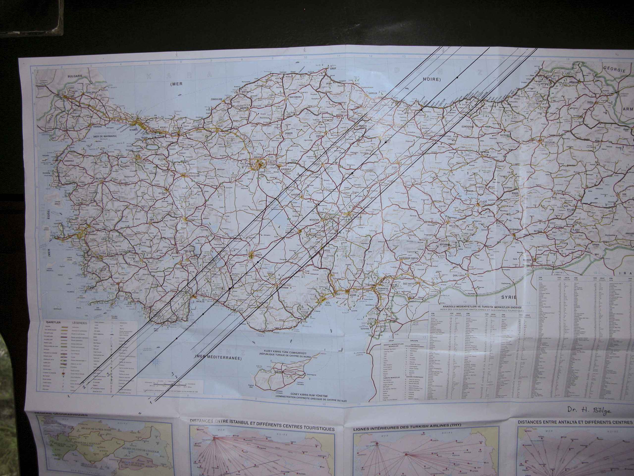
This large map shows the path of totality of the 2006 eclipse across Turkey. Istanbul was not in the path, so the observatory saw only a partial eclipse.

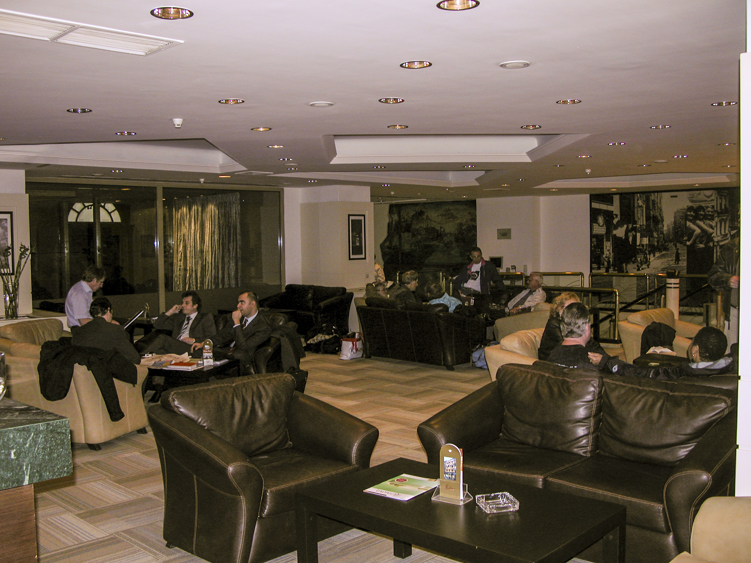
From the observatory, we crossed over to the European side of the city and checked in to our hotel, the Richmond. Located on Istiklal Street in the Beyoĝlu district of Istanbul, the Richmond was well-placed to optimize our navigation of the city.

Lobby of the Richmond Hotel on Istiklal Street in Istanbul.

We didn’t linger at the hotel for long; the sights of Istanbul beckoned, rain or no rain. Soon we were back on the bus, headed for Sultanahmet Square, in the heart of old Constantinople.

In old Byzantium it was the Hippodrome, the horse track, the center of the city’s social life. Chariot-racing was not just a spectator sport; it was a serious business, with major political ramifications. Each team was supported by a faction in the Senate, and competitions between teams became entangled with political and religious rivalries. In 532 CE the famous Nika riot between the supporters of the leading teams, the Blues and the Greens, escalated into a virtual civil war that resulted in the deaths of 30,000 people and the destruction of much of the city, including the Hagia Sophia cathedral. Emperor Justinian had the cathedral rebuilt, and his version is the one still standing today.

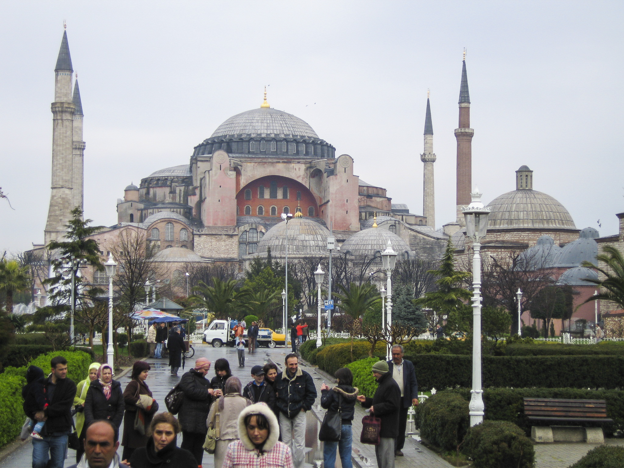
We got our first glimpse of Hagia Sophia from Sultanahmet Square on this rainy March morning; but our schedule for that day directed us elsewhere, so our visit to the cathedral had to wait.

Completed in 537 AD, Hagia Sophia was then the world’s largest cathedral and remained so until the completion of Seville Cathedral in Spain in 1520.

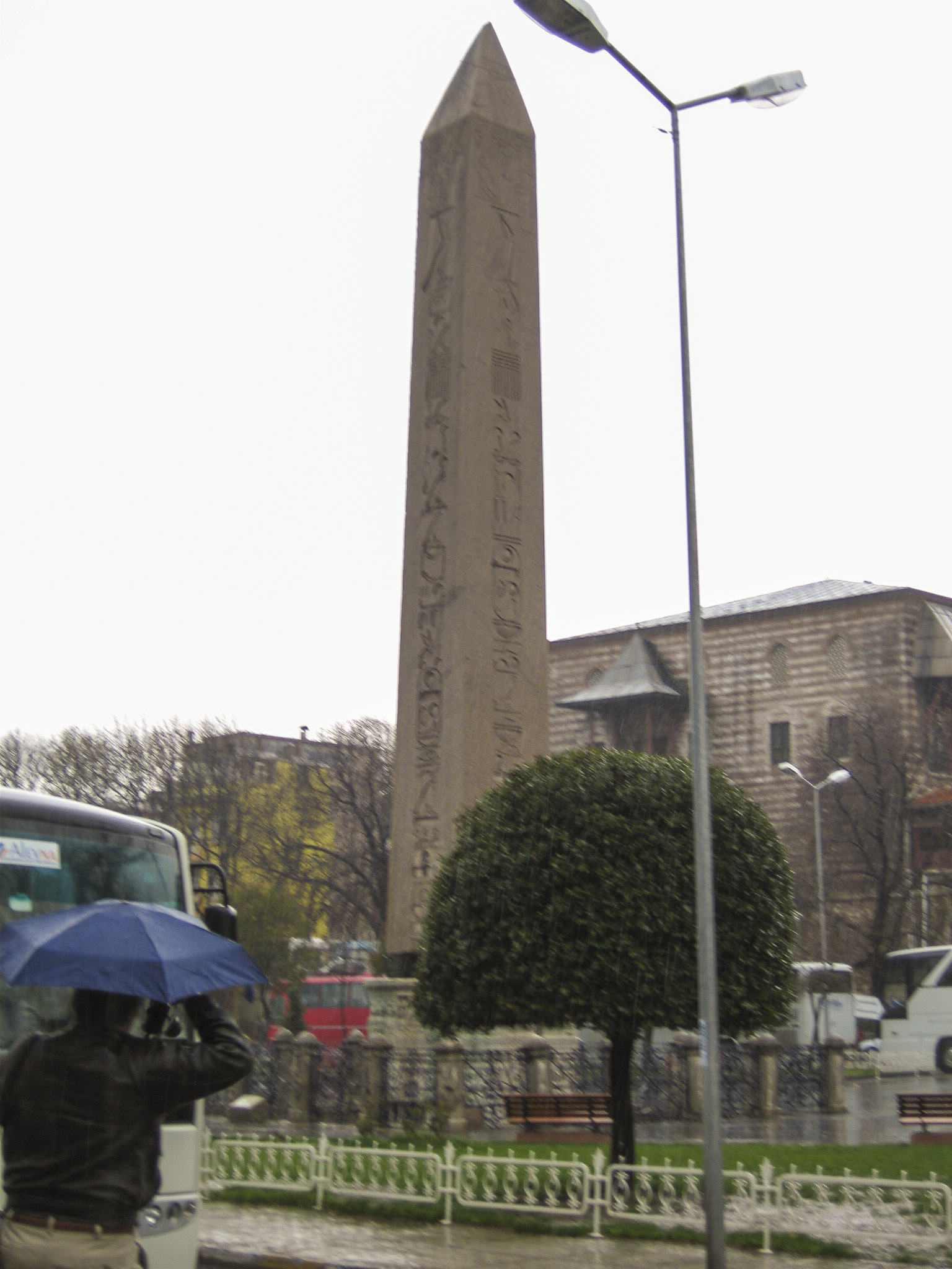
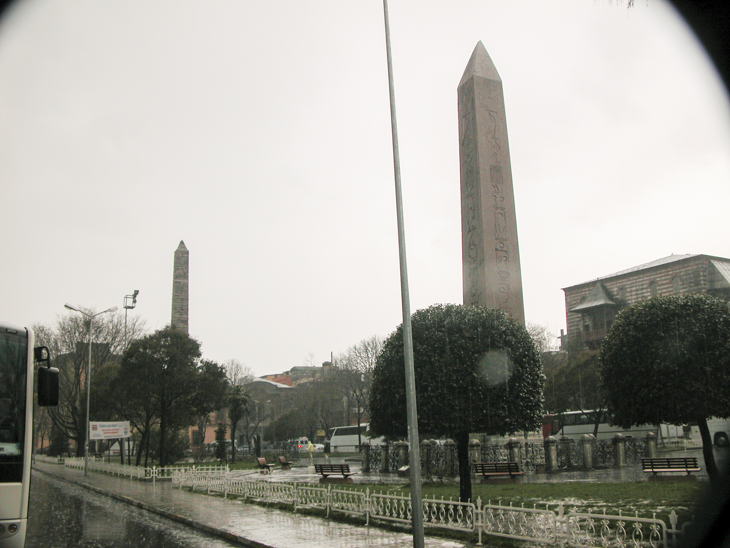
Two Egyptian obelisks stand in Sultanahmet Square. One was originally erected at Karnak in Egypt by Pharaoh Thutmose III in the 15th century BCE, and moved to Constantinople by Roman Emperor Theodosius I in 390 CE.

Obelisk of Theodosius I.

At the end of the square opposite the Obelisk of Theodosius I stands the Walled Obelisk. The date of its original construction is unknown; it may have also built in the time of Theodosius I. It is also known as the Constantine Obelisk, after the 10th century Byzantine Emperor Constantine Porphyrogenitus, who had it restored and coated with bronze plates. These were plundered by the Latin occupiers during the Fourth Crusade, and now only the stone core remains.

The two obelisks in Sultanahmet Square. The near one is the Obelisk of Theodosius I, and the far one is the Walled or Constantine Obelisk.

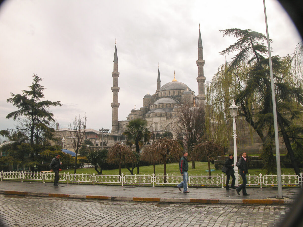
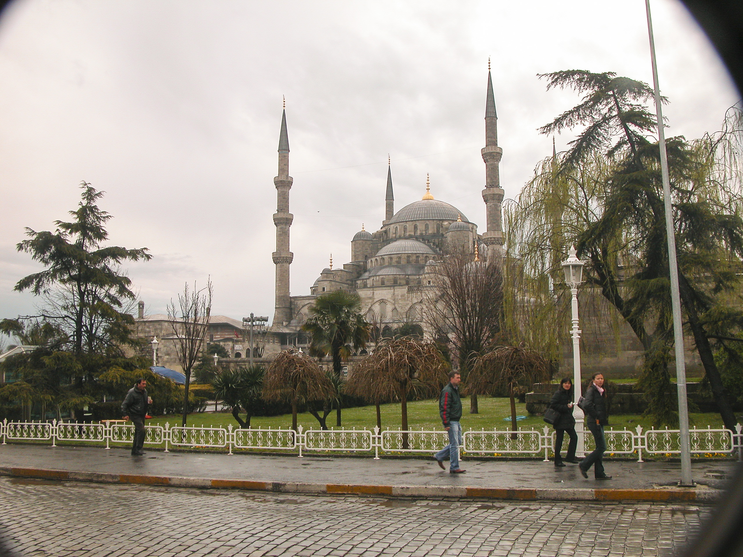
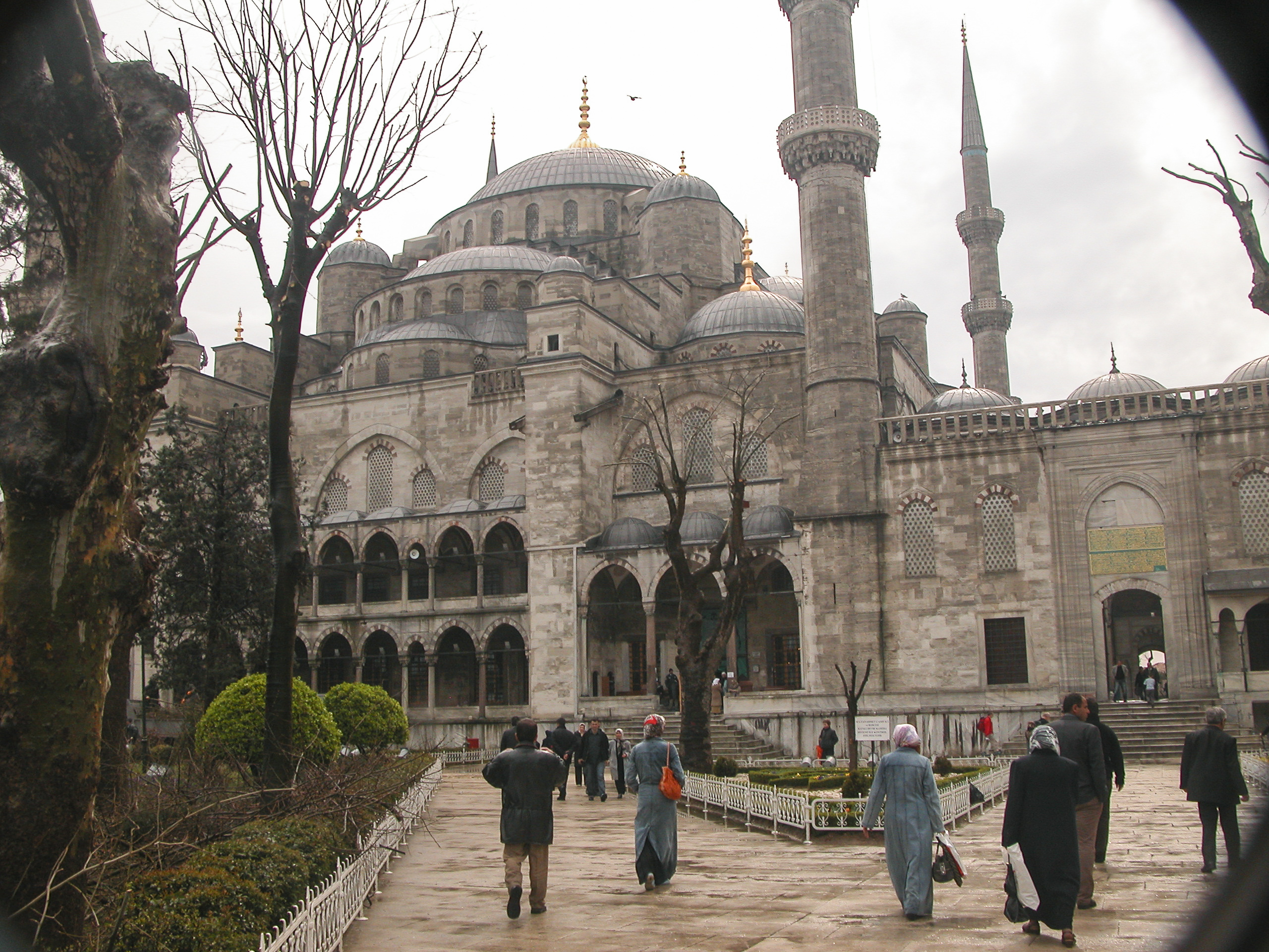
Next to the Hippodrome stands a structure no less imposing than Hagia Sofia: the Blue Mosque, officially known as the Sultan Ahmed mosque. In the early 17th century the Ottoman Empire suffered a series of military reverses at the hands of the Habsburg Holy Roman Empire and the Safavid Persion Empire, and Sultan Ahmed I, the namesake of Sultanahmet Square, saw these setbacks as an omen that he was losing the favor of Allah. In order to win it back, and to reassert the glory and majesty of the Ottoman empire, he decided to build a new mosque that would rival Hagia Sophia as a work of art and engineering. The Blue Mosque, begun in 1609 and completed in 1617, was the result.

The Blue Mosque was built on the site of the Grand Palace of the Byzantine Emperors.

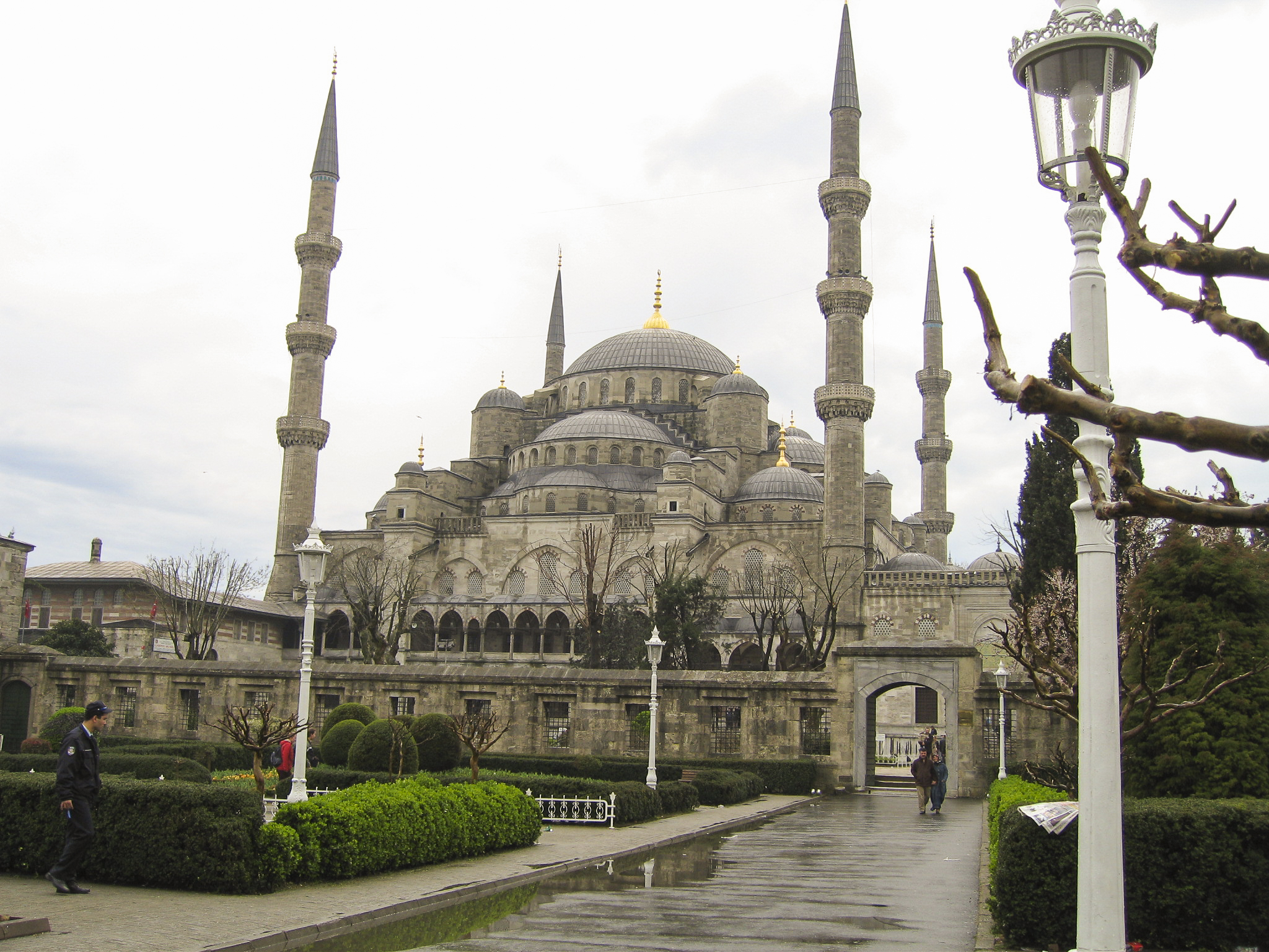
The architect of the Blue Mosque, Sedefkâr Mehmed Ağa, was the last student of the master architect of Suleiman the Magnificent, Mimar Sinan, considered the greatest exponent of the Ottoman classical style. This style combines elements of Byzantine and Islamic architecture, and you can clearly see the resemblance to Hagia Sophia.

The Blue Mosque incorporates elements of both Byzantine and Islamic architecture, resembling in some respects its neighbor, Hagia Sophia.

Sultan Ahmed I’s predecessors had traditionally paid for their building programs with the spoils of their conquests, but he had no loot to show for his mostly unsuccessful wars, so he had to raid the public purse to pay for the Blue Mosque. This caused an uproar among the Islamic ulama (Muslim religious authorities), who were also scandalized that it had as many minarets as the Grand Mosque in Mecca. Sultan Ahmed partially assuaged their ire by causing a seventh minaret to be built for the Grand Mosque in Mecca.

The Blue Mosque has six minarets, not all of which are seen in this picture.

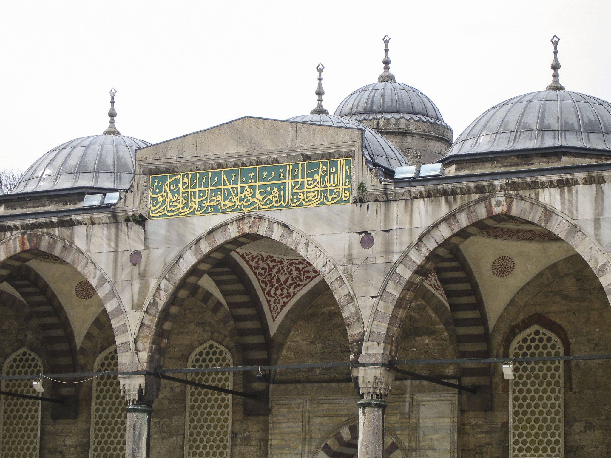
The front portals as well as the interior are decorated with verses from the Koran, many of them the work of Seyyid Kasim Gubari, considered the greatest Ottoman calligrapher of his time.

Decorated with the names of the Caliphs and verses from the Koran by the great 17th-century calligrapher Seyyid Kasim Gubari.

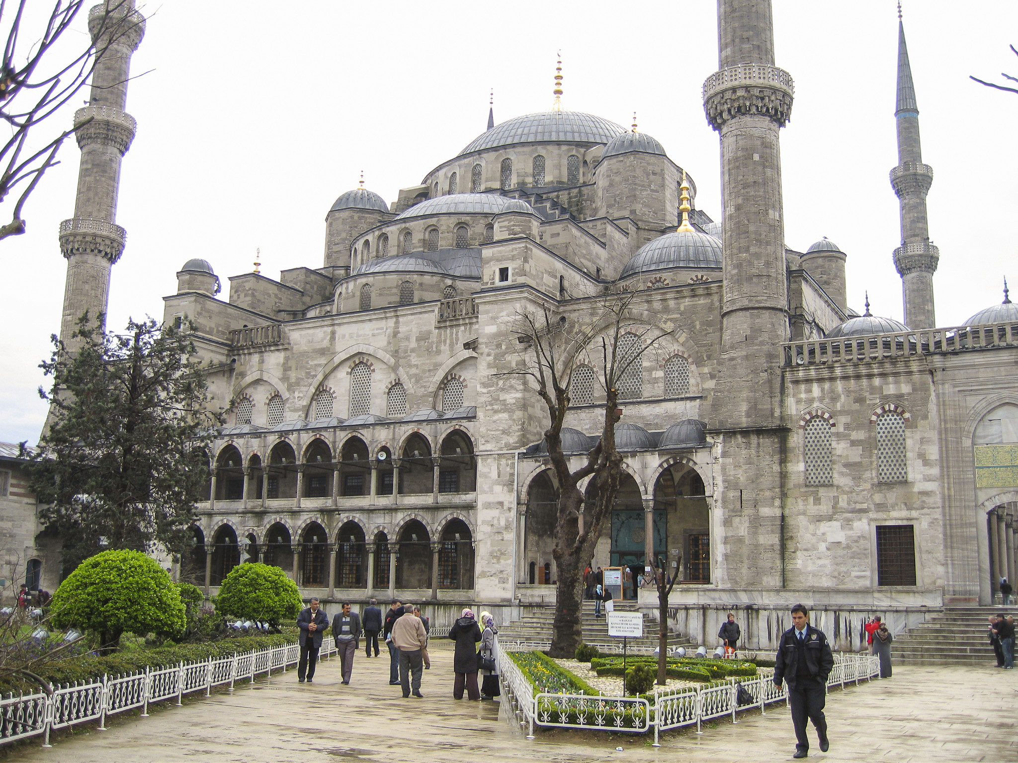
In addition to the six minarets, the Blue Mosque has five main domes and eight secondary domes. It was built on the site of the Grand Palace of the Byzantine Emperors.

The Blue Mosque was intended to demonstrate that Islamic architects could build structures to rival Hagia Sophia in size and majesty.

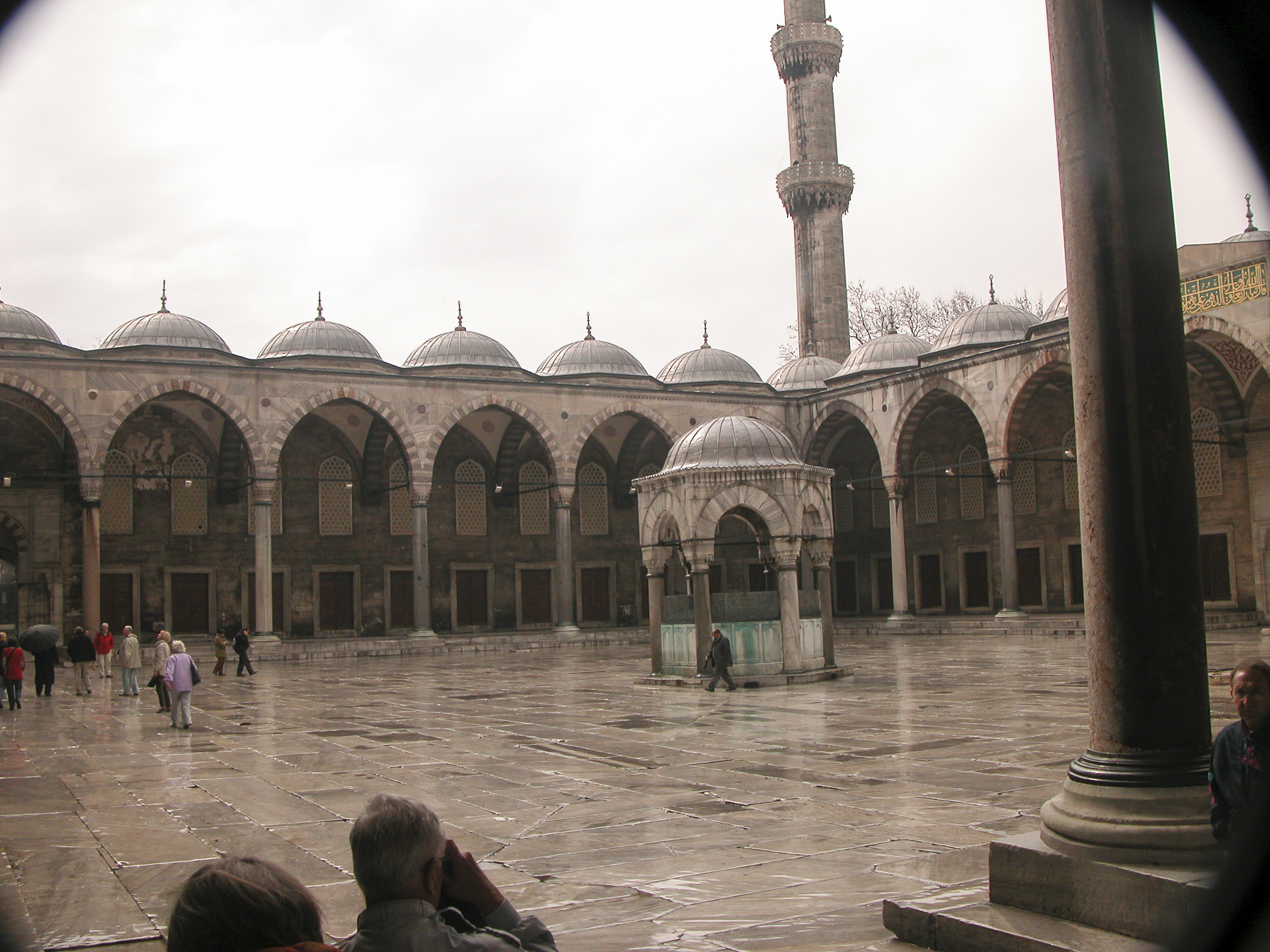
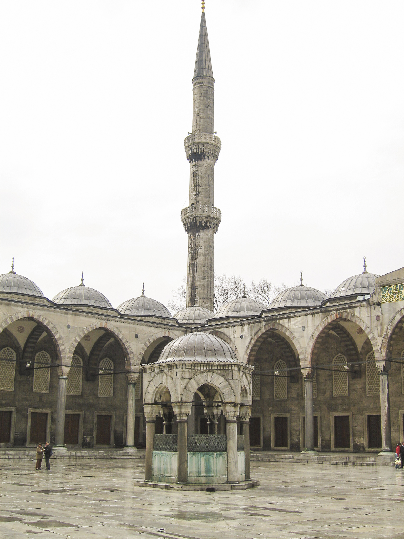
The forecourt is as large as the mosque itself and is surrounded by a continuous vaulted arcade.

The court is as large as the mosque itself and is surrounded by a continuous vaulted arcade. The hexagonal structure in the center is a fountain.

Only the Sultan was permitted to enter the gate to the forecourt on horseback; others had to walk. But even the Sultan had his constraints; a large chain was stretched across the gate at such a height that when he rode through, he would have to duck his head by way of showing his humility before Allah. I doubt that this act of abasement had the effect of curbing any sultan’s ego with respect to his fellow mortals, however.

The main gate to the courtyard of the Blue Mosque is described as “monumental but narrow.”

The four minarets at the corners of the mosque itself have three balconies each, whereas the two at the end of the forecourt only have two balconies. It must have been an onerous chore for the muezzins to climb the spiral stairs five times a day to make the call for prayer from these balconies; on the other hand, it was a good way for them to keep in shape.

One of the six minarets of the Blue Mosque towers over the fountain in the forecourt of the Mosque.

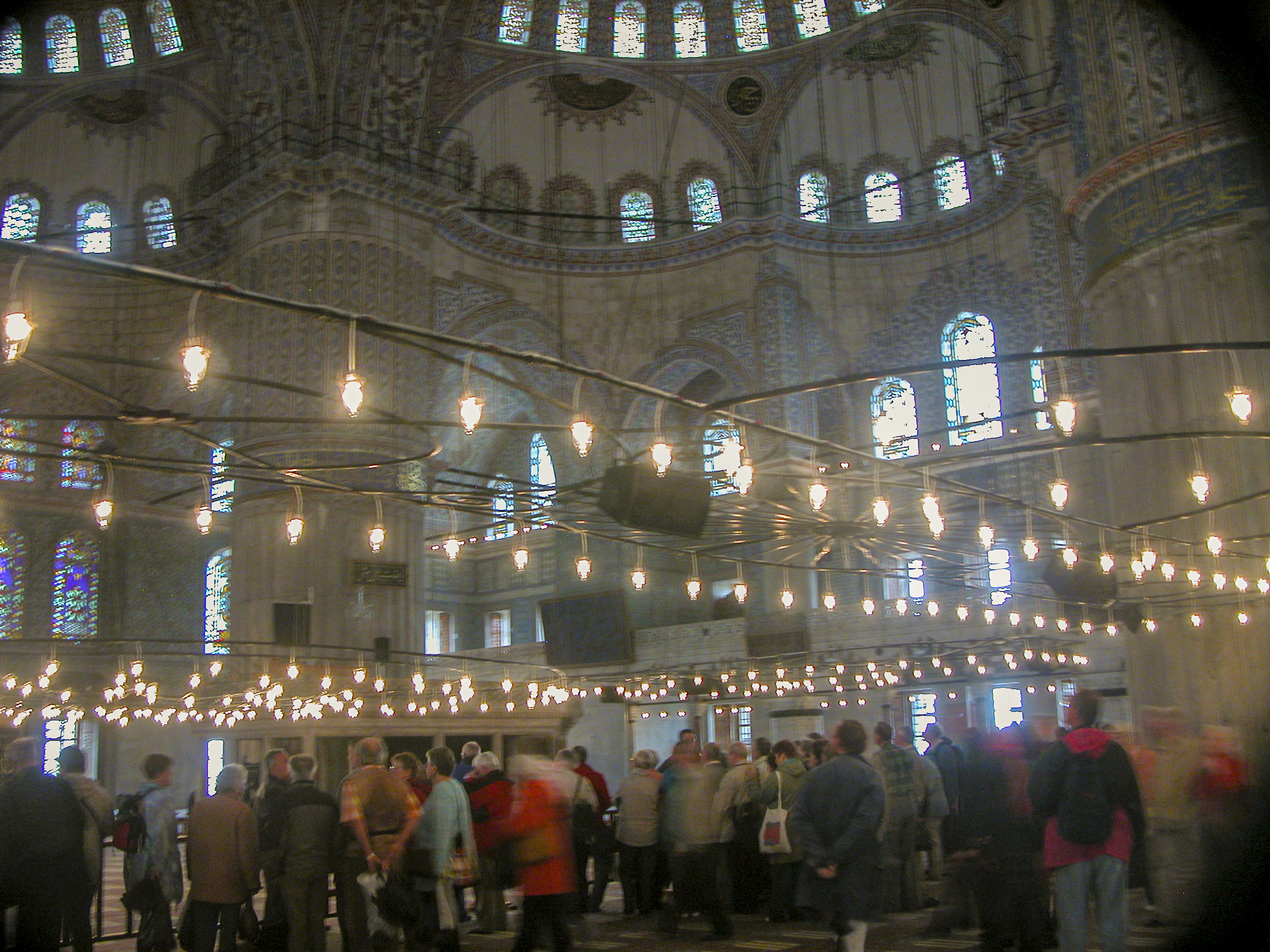
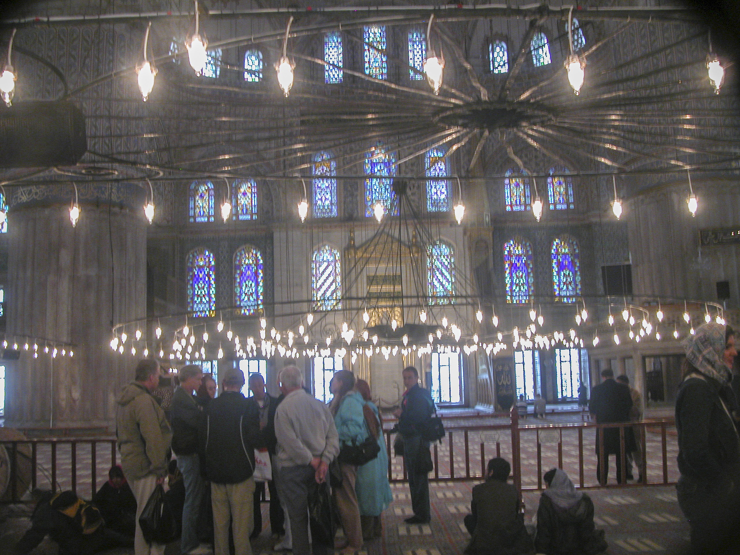
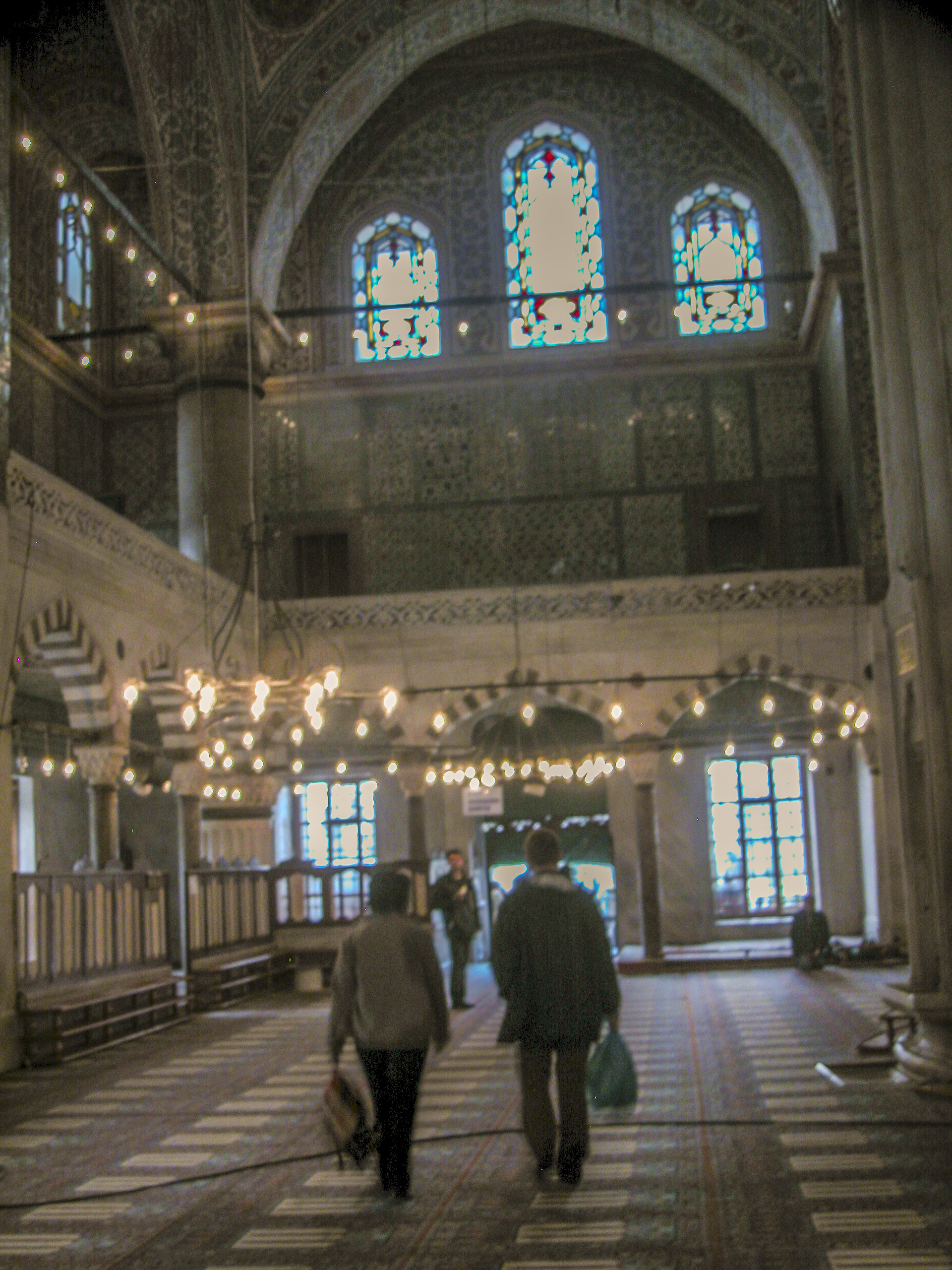
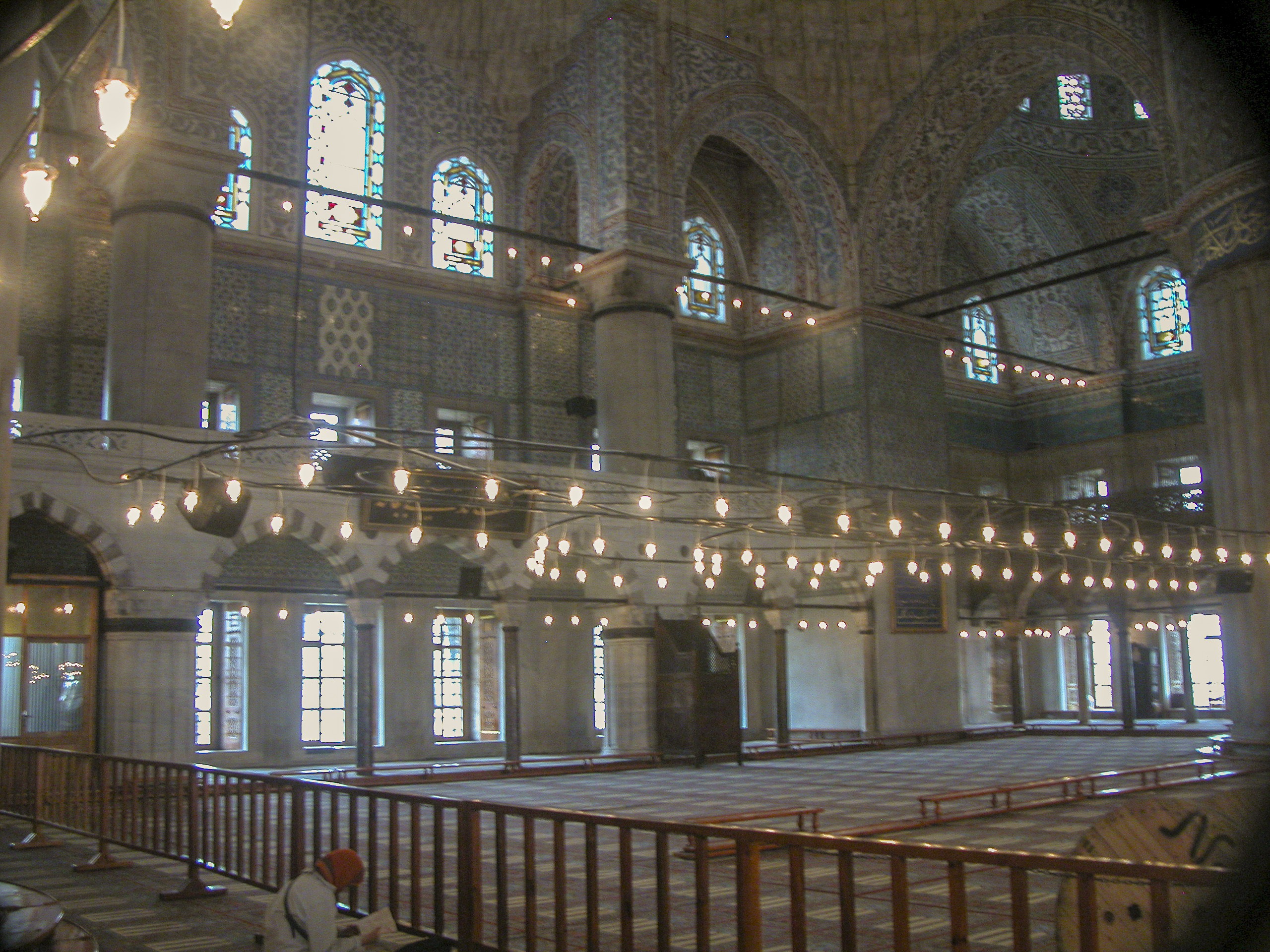
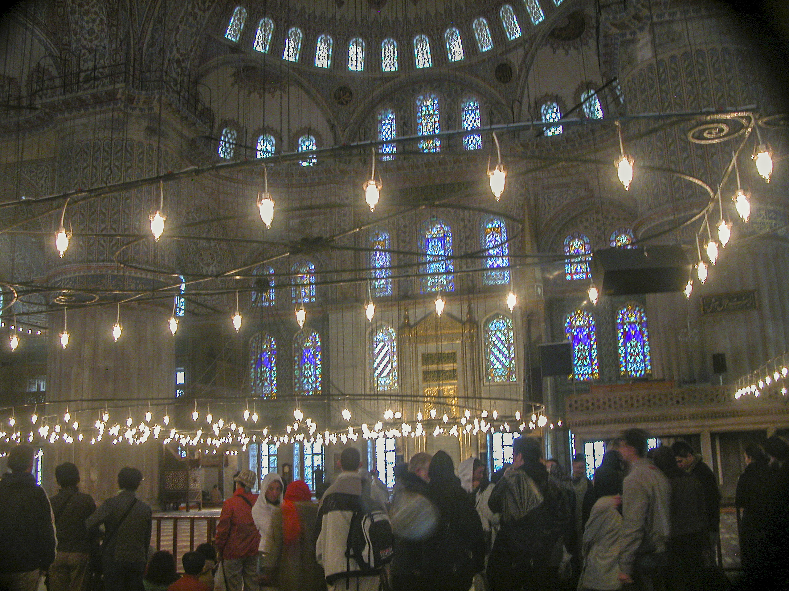
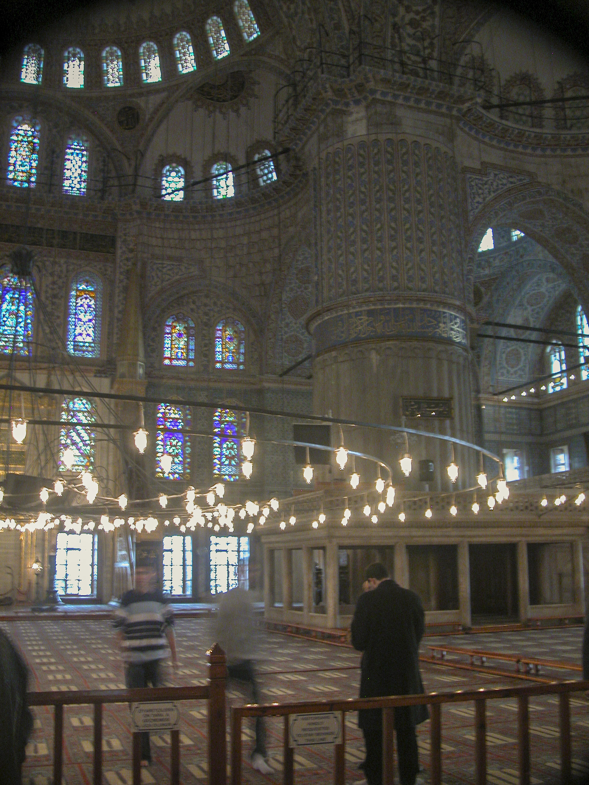
Flash photography is not permitted in the Blue Mosque. Even though artificial lighting supplements the natural light admitted through the stained-glass windows, it was still too dim for our cameras inside the mosque, so many of our pictures came out blurry.

Stained-glass windows and chandeliers provide lighting inside the Blue Mosque.

Since the Blue Mosque is a working mosque as well as one of the main tourist attractions of Istanbul, just as in Christian churches there are rules of etiquette, some of which have the additional purpose of facilitating the preservation of the site. Our guide Attila made sure we were properly instructed in the rules and gave us a brief rundown on the history and architecture of the mosque.

Here our tour group gathers for instruction by Attila in its history and architecture, as well as the rules of etiquette for visitors.

Visitors are required to remove their shoes and carry them in a bag, which is provided free of charge. (This practice is followed in many historic sites, e.g. the Imperial Russian palaces of Pavlovsk, Tsarskoe Selo, etc.) Both men and women are expected to dress modestly (no short pants or miniskirts), and head coverings for women are mandatory. Flash photography is disallowed and taking pictures of worshipers praying is discouraged. Quiet and respectful deportment is expected.

Visitors are required to remove their shoes and carry them in a bag provided free of charge. Both men and women are expected to dress modestly (no short pants or skirts), and head coverings for women are mandatory.

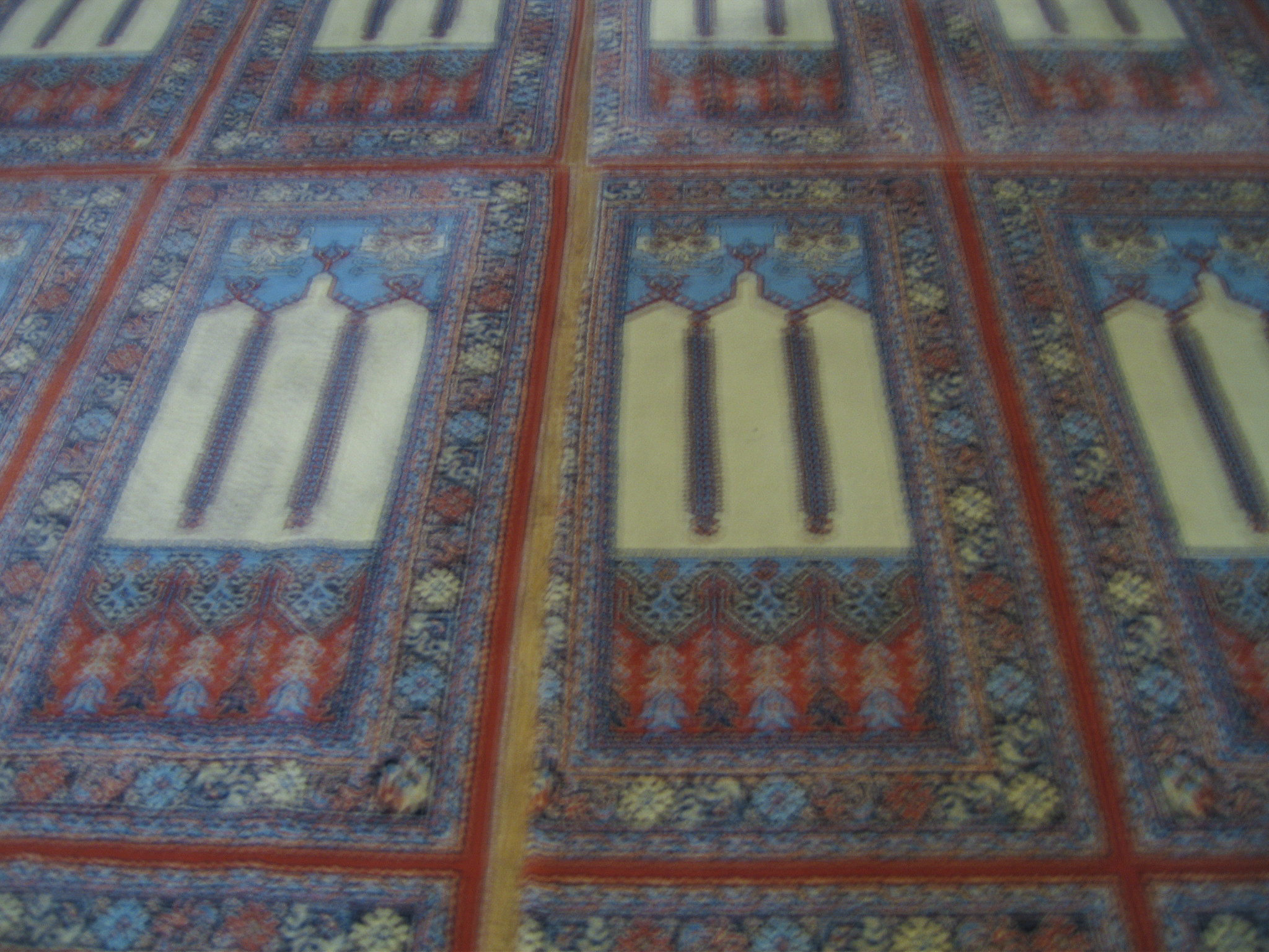
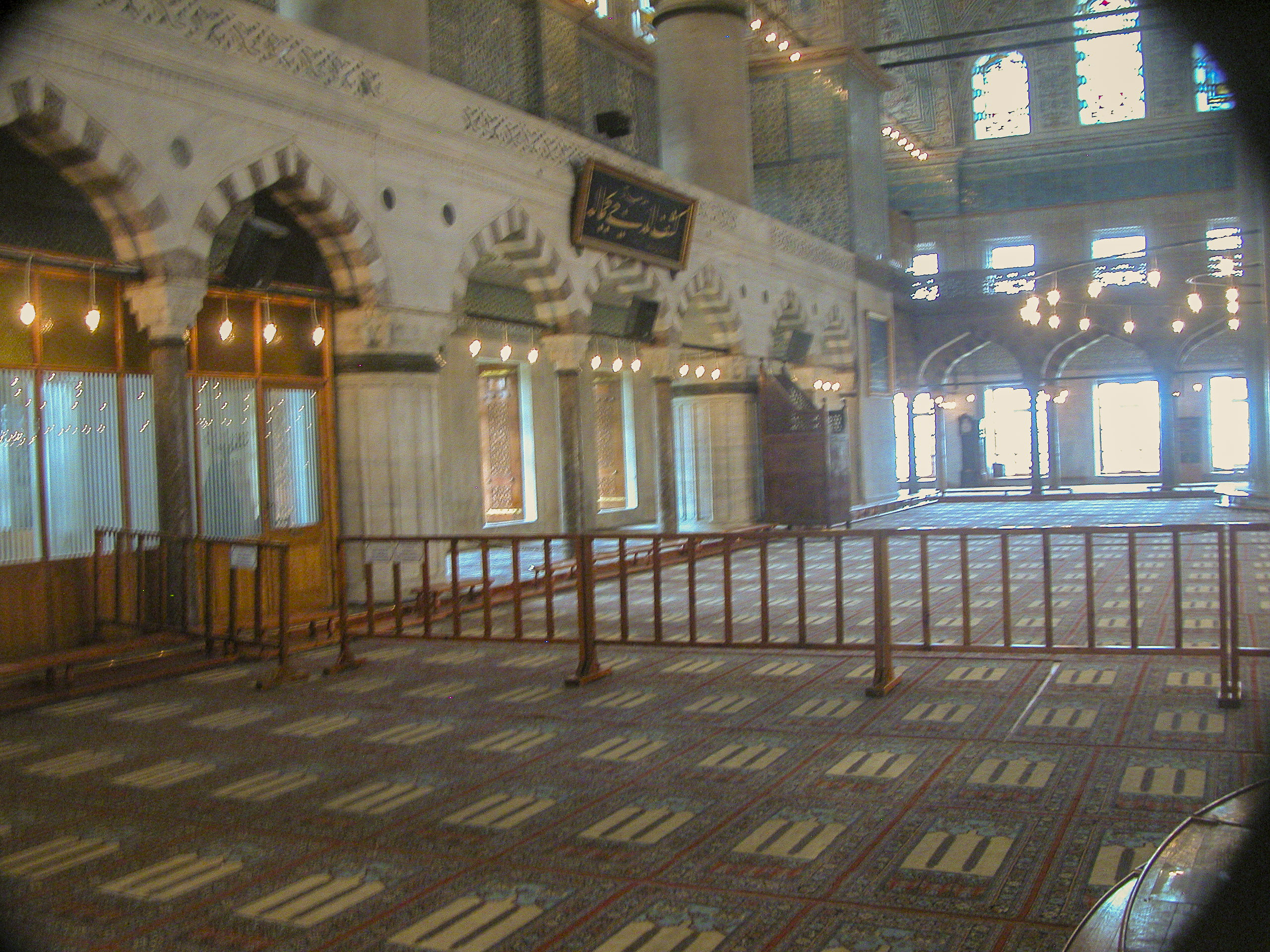
Carpeting in the Blue Mosque was equal to the most beautiful and lavish we had seen in Denizli. Of course, with many visitors passing through constantly, the carpets wear out quickly and have to be replaced often. Donations from worshipers, and I would hope also the donations (encouraged though not required) made by infidel visitors like us, pay for the new carpets.

Carpets in the Blue Mosque are purchased with donations from worshipers and are continually replaced as they wear out.

The interior of the Blue Mosque is lined with 20,000 ceramic tiles, made in Iznik, a city 90 kilometers (56) miles southeast of Istanbul. In ancient times the city was known by its Greek name of Nicaea, where in 325 CE the Nicene Creed, one of the defining documents of Christianity, was adopted. During Ottoman times it was famous for the production of elegant ceramic tiles. Sultan Ahmed fixed the price of ceramic tiles by decree and made no provision to compensate for inflation over the eight years of construction, with the result that the quality of the tiles in the Blue Mosque is said to be somewhat uneven. However, I didn’t notice this myself.

The interior of the Blue Mosque is lined with over ceramic 20,000 tiles. These were made in Iznik, the former Nicaea, which was a major center for the production of fine tiles.

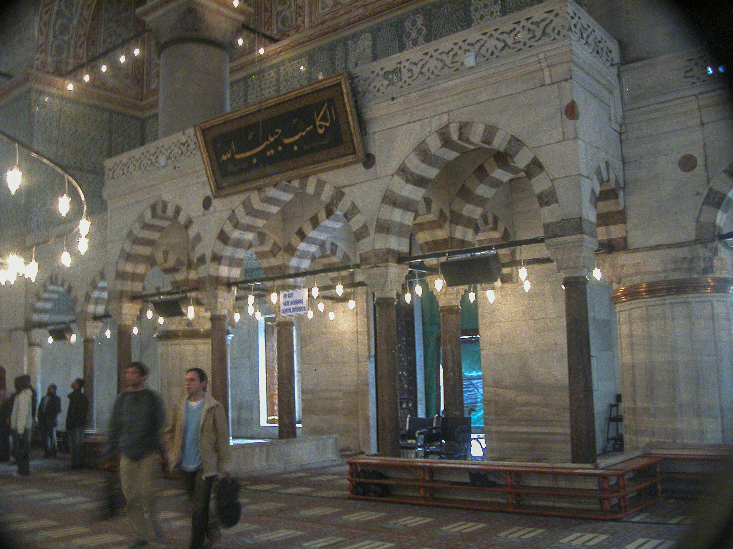
The arches over the doorways and alcoves are a feature of Islamic architecture that I find particularly attractive. I was later to find very similar constructions in Moorish buildings in Spain, most notably the Great Mosque of Cordoba.

This type of arch is typically Islamic; very similar arches are found in the Great Mosque of Cordoba in Spain, among other places.

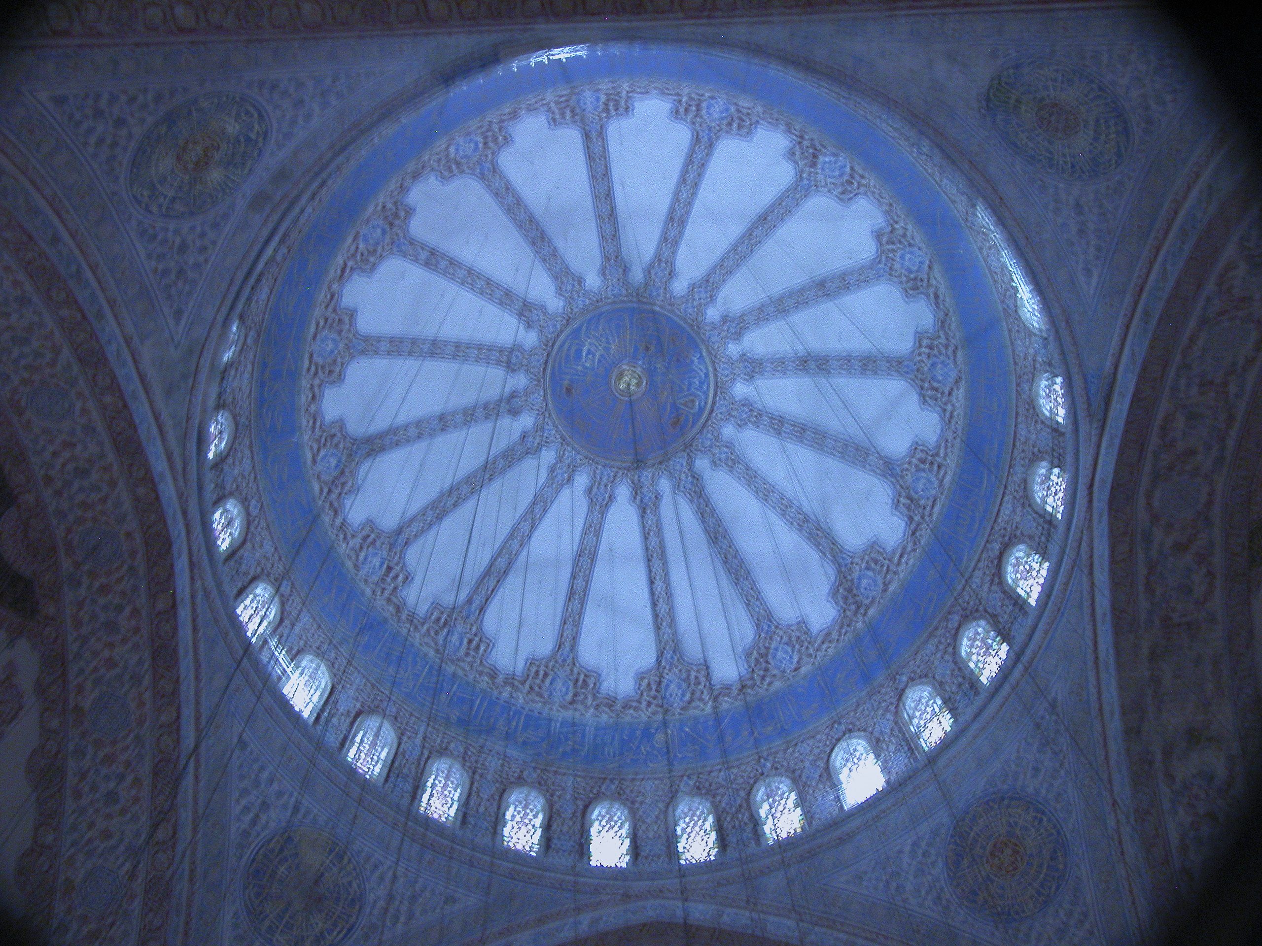
The main dome of the Blue Mosque is quite striking, but it is sometimes compared unfavorably to the central dome of Hagia Sophia because it is supported by four stout pillars, whereas Hagia Sophia’s central dome is anchored by “pendentives” which distribute its weight on the walls of the cathedral. The next picture doesn’t show the pillars, but you can see them in the two following.

The Main Dome has 28 stained-glass windows. The dominant color of the stained glass and tiling is blue, hence the Blue Mosque.

The mosque has over 200 stained-glass windows. The glass for the windows was a gift from Venice to the Sultan. Venetian glass, made on the island of Murano in Venice’s lagoon since the 13th century, was the finest available. There is some irony here: after plundering the treasures of Christian Constantinople during the Fourth Crusade, the Christian Venetians later bestowed their largesse on the city’s Muslim conquerors.

The mosque has over 200 stained-glass windows. The glass for the windows was a gift from Venice to the Sultan.

Supposedly ostrich eggs were put on the chandeliers to repel spiders and thereby keep them free of cobwebs. I don’t know why ostrich eggs would repel spiders, but I’m not able to put that notion to the test because ostrich eggs are hard to come by in Southern California. In any case, I saw neither ostrich eggs nor cobwebs. I suspect that nowadays the cobwebs are taken care of by the cleaning crew.

No ostrich eggs could be seen on the chandeliers.

In the southeastern corner of the Blue Mosque there was an area reserved for the Sultan and his retinue. It contained a loge, where the royals could be seen by the public, and several secluded rooms, to which they could retire when they wanted privacy.

The Janissaries were the elite infantry of the Ottoman Empire, the household troops of the sultan. They were recruited via a levy known as the devşirme, which was in effect a tax on the empire’s Christian subjects whereby their male children of ages from 6 to 14 were taken from them, converted to Islam, given rigorous military training and subject to strict disciplinary rules. They were forbidden to engage in trade or to marry before age 40. They were a formidable and feared military force, but as time went on, their discipline was relaxed, they acquired excessive power and privileges, and ultimately became a kind of praetorian guard, making and breaking sultans, and acting as a reactionary barrier to progress. Eventually, in 1826, Sultan Mahmud II issued a decree disbanding the corps. This provoked the last of their many mutinies, in which the Sultan used artillery to kill 4,000 of them and then beheaded the rest. During the revolt, the Grand Vizier made the retiring rooms in the Blue Mosque his headquarters for directing the suppression of the rebels.
The retiring rooms of the Royal Kiosk were the headquarters of the Grand Vizier during the suppression of the Janissary Corps in 1826.

I found the Blue Mosque a magnificent and overwhelming architectural masterpiece, but I have heard that it is only one of several equally stunning mosques in Istanbul. I wish I had been able to tour some of the others, but there are just too many amazing sights to see in Istanbul and even in three days we didn’t have time to tour more than a small fraction of them.

Categories
Turkey, March-April 2006

Eclipse Night, March 29, 2006: The Feast

As the sun set on Eclipse Day, a feast awaited us in the Kaya Side dining room that I’m confident eclipsed any meal ever served to a Sultan. I must admit I’m quite fond of Mediterranean and Middle Eastern cuisine in general, but the chefs at the Kaya Side went above and beyond anything I would have dreamed of, bringing Europe and Asia together in a gastronomic apotheosis. It was so sinfully decadent that I expected Daniel the Prophet to show up at any minute and fiery fingers to start writing “Mene, Mene, Tekel, Upharsin” on the walls, as at Belshazzar’s Feast.
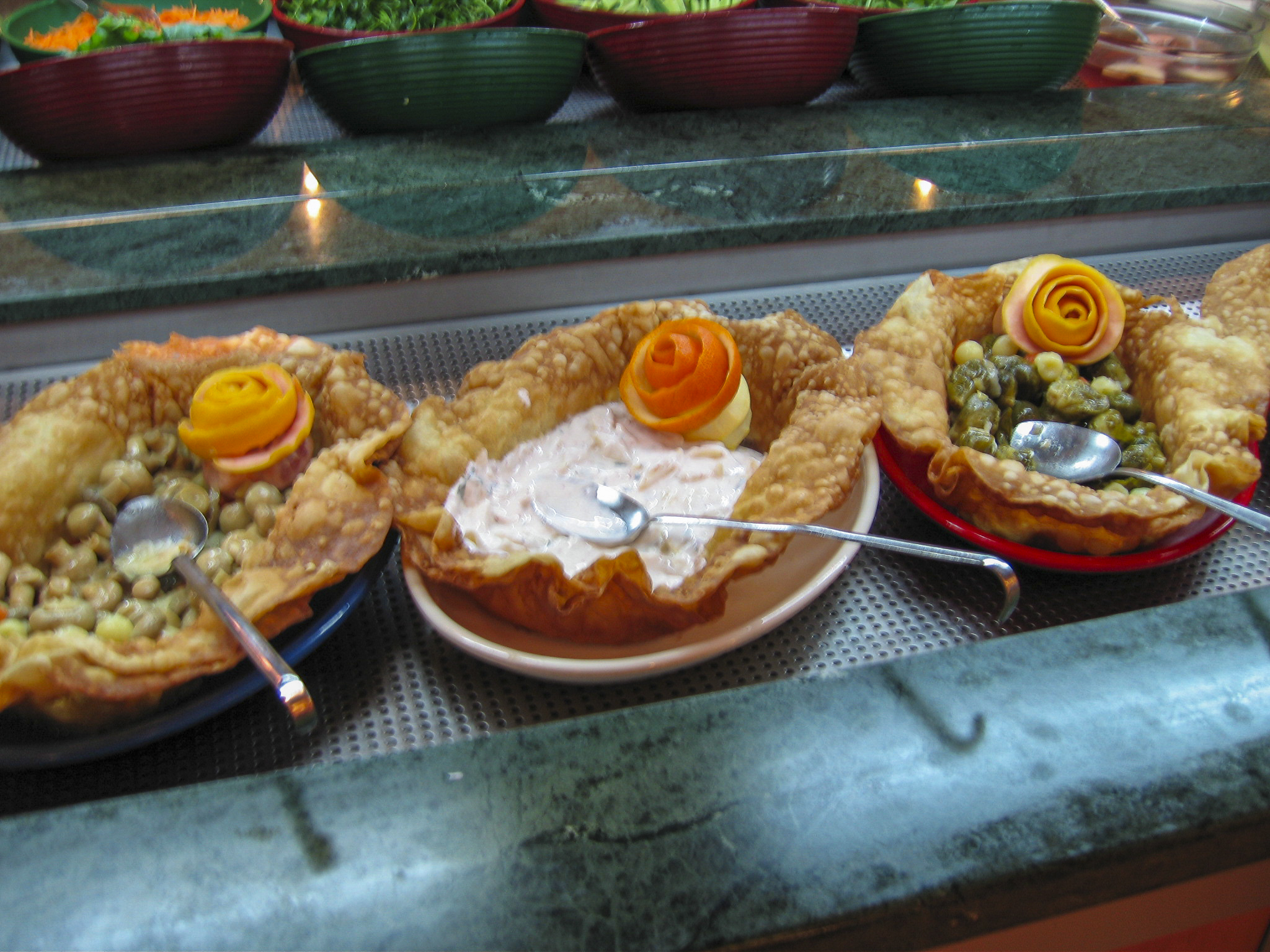
In the Middle East the hors d’oeuvres are called mezze. These mezze were presented in pastry shells that reminded me of the way tostadas and taco salads are served in Mexican restaurants. But the flowers, carved out of orange peels or vegetables, were an unexpected addition.
Turkish hors-d’oeuvres.

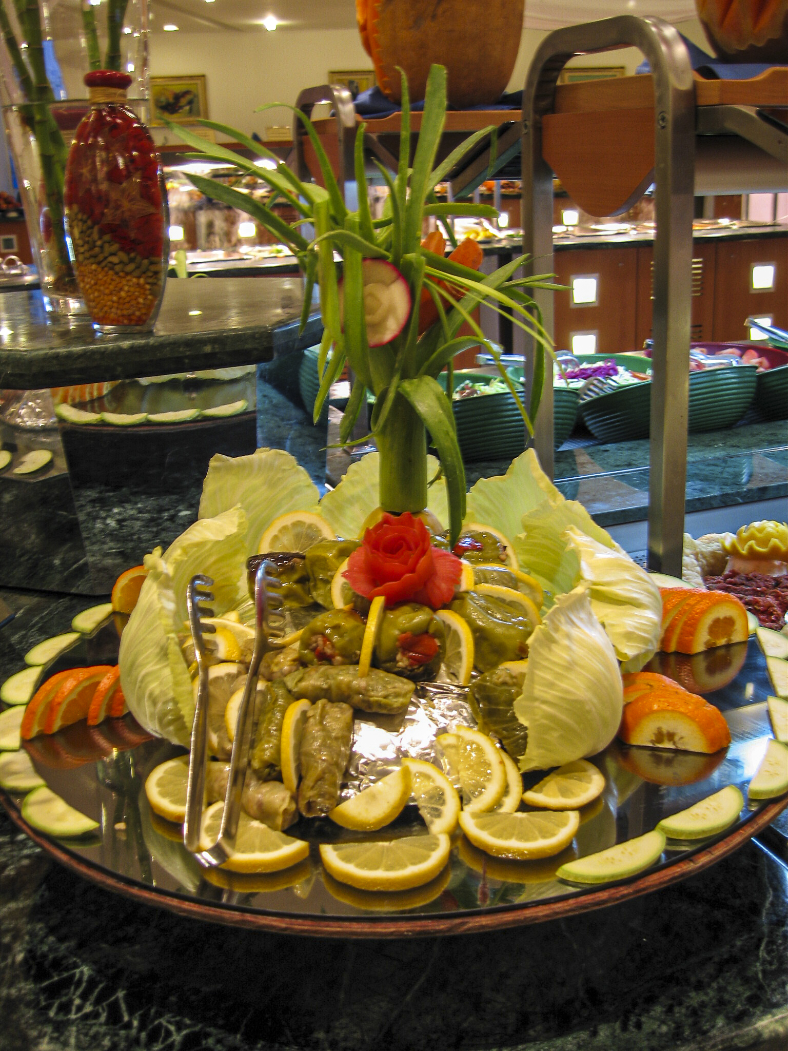
Cabbage rolls, stuffed with meat or vegetables, are a favorite of mine. They are ubiquitious throughout Eastern Europe, the Balkans and the Middle East. In Turkish cabbage rolls are called Lahana Sarmasi; in Romanian they are Sarmasi, in Greek they are Lahanodolmades, in Polish Golabki, in Russian Golubtsy. Regardless of what you call them, they are delicious. I’m also fond of stuffed bell peppers, also present on this platter.
Cabbage rolls and stuffed peppers.

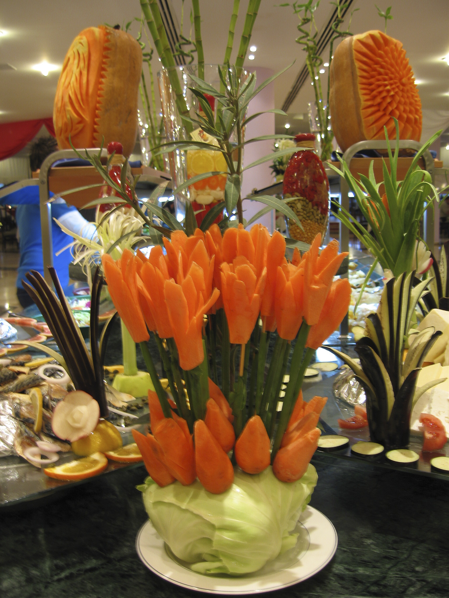
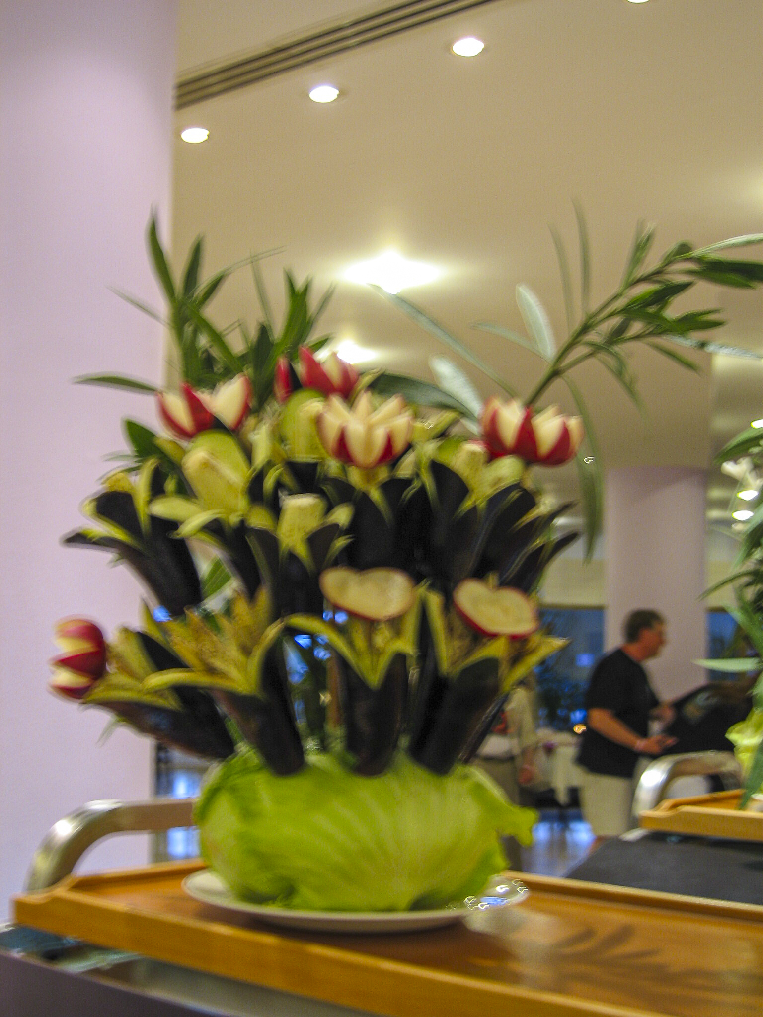
Every dish was a work of art. Each serving platter was decorated with at least one flower, as well as various fruits and vegetables, and bouquets were also separately placed as decorations among the serving platters. The “flowers”, however, were themselves made of cunningly carved vegetables and fruits, as in this photo.
Flowers, apparently made of carrot slices with scallions serving as the stems, “growing” out of a cabbage.

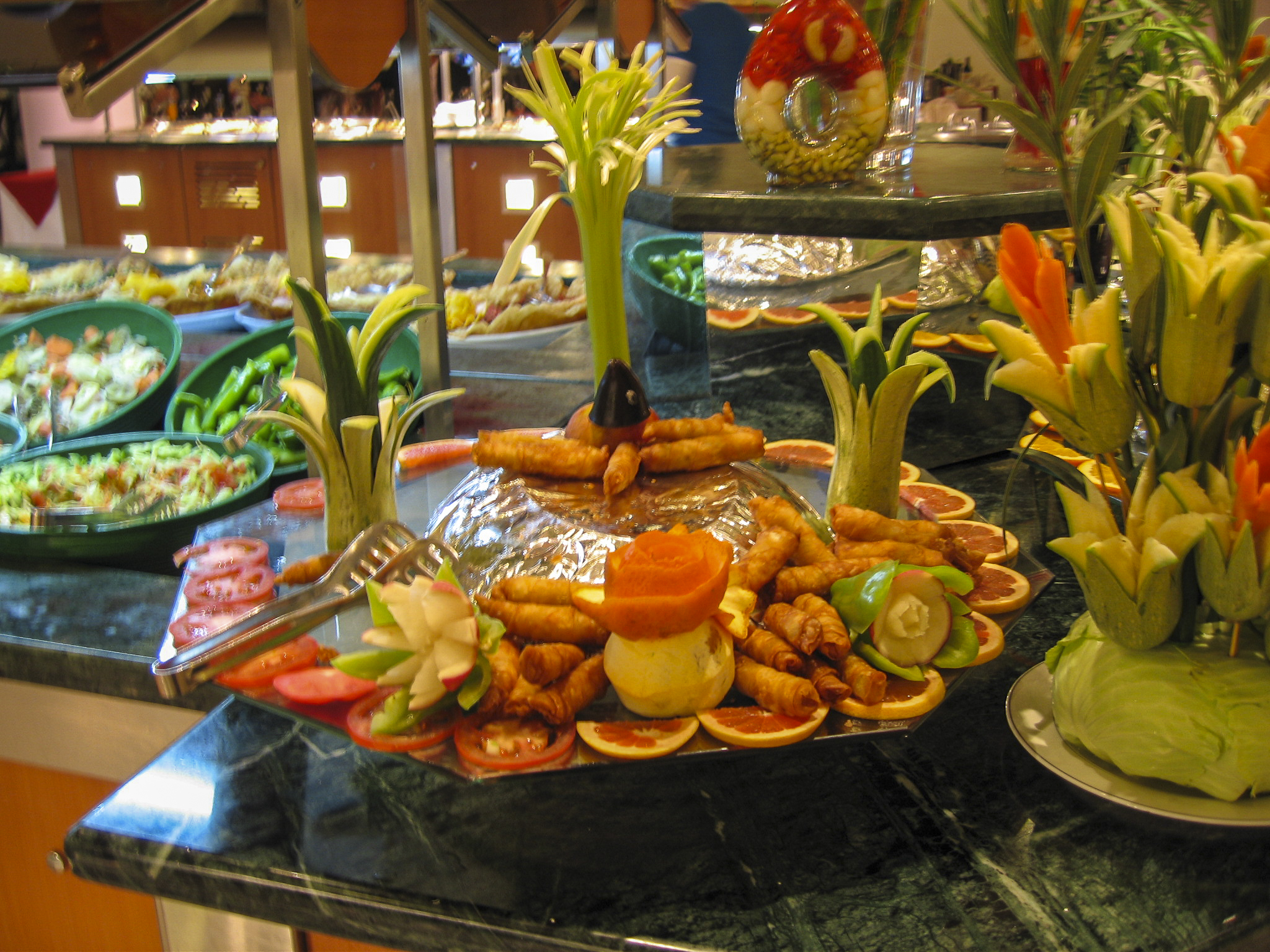
Sigara Böreği are the Turkish equivalent of egg rolls. (Sigara is simply the Turkish word for cigarette, so these are “cigarette rolls.”) They can be stuffed with potato, cheese, spinach or meat, but most typically the filling is Turkish white cheese, similar to feta. The pastry shells are made of a dough called yufka, which is similar to Greek phyllo. They are made by placing a small amount of filling on a yufka triangle, rolling it up and frying it in olive oil. You can find a recipe here.

Egg rolls, or their Turkish equivalent, stuffed with potato, feta or meat, next to cabbage flowers.

There was a great variety of cabbage flowers. These used carved radishes, zucchini squash carved to look like lilies, etc. The artistry was breathtaking, and I like to imagine that the creators of these masterpieces were artists moonlighting as cooks, or students working their way through art school.

More stunning cabbage flowers.

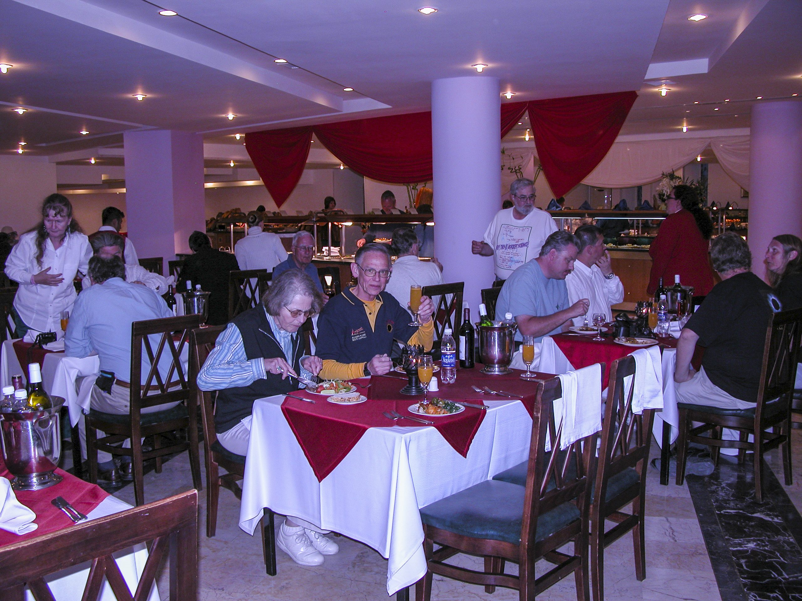
I only took a few pictures of the mezze and entrees, because they were too tempting, and Sandie and I were too hungry, after our long day on the eclipse field, to delay our enjoyment of them for long. After snapping final shots of the dining room, we joined Chuck and Elouise at a table next to Attila, Jim Windlinger, Michelle and Cherie.

Chuck and Elouise feast on the Kaya Side delicacies, while Jim Windlinger, Attila, Michelle and Cherie do the same at the next table. The empty seats opposite Chuck and Elouise are ours; Sandie and I were still scampering about taking a last few pictures.

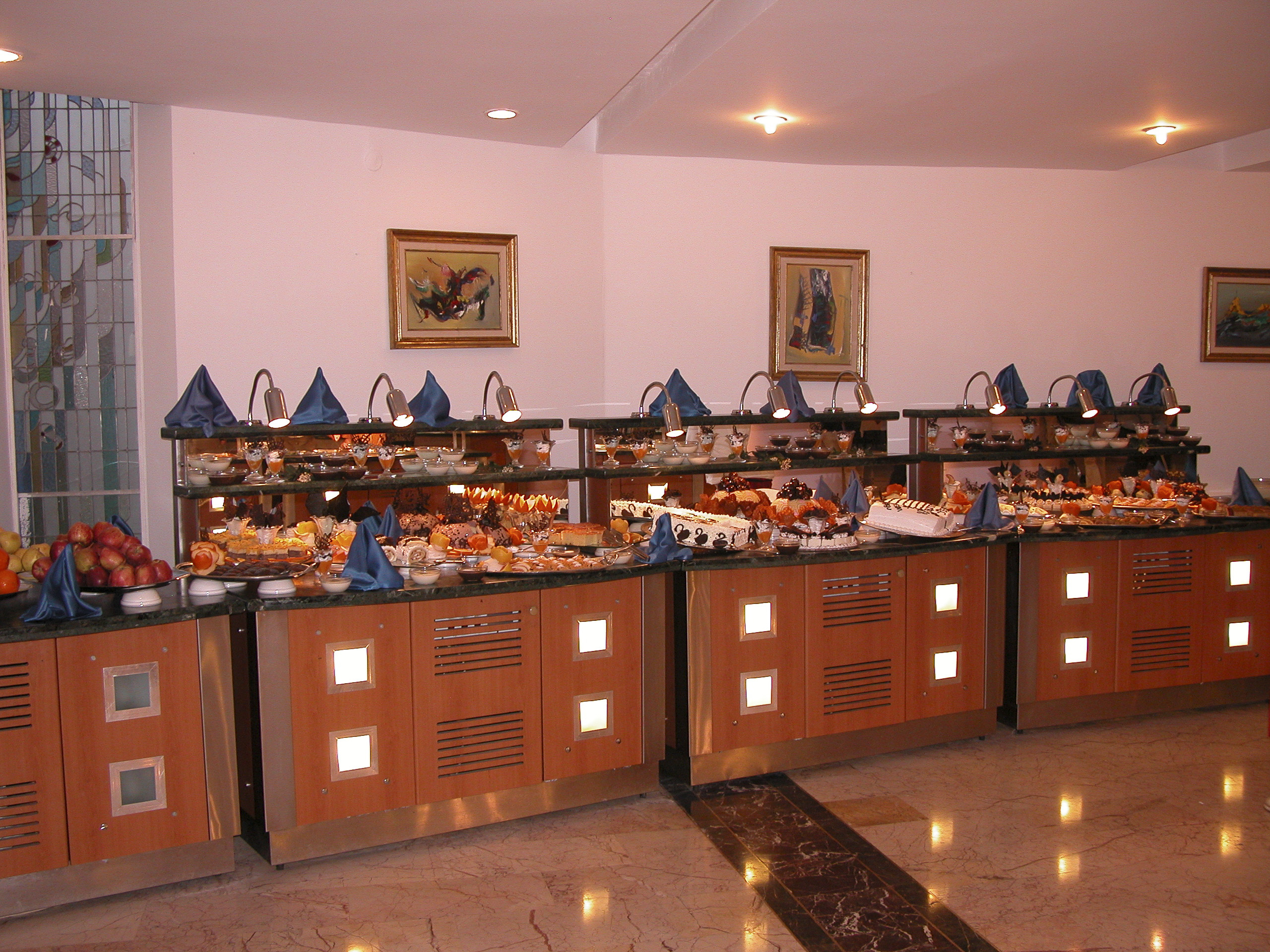
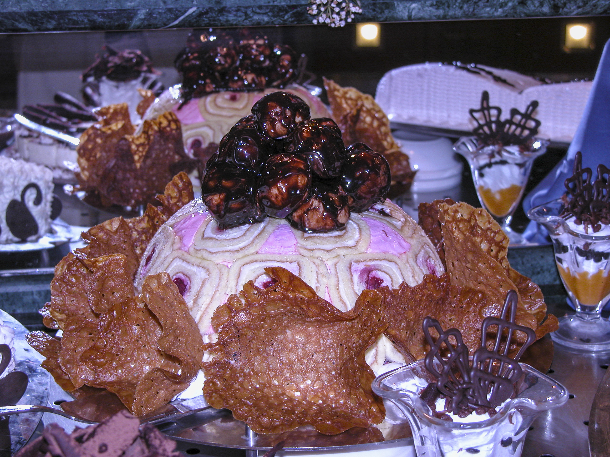
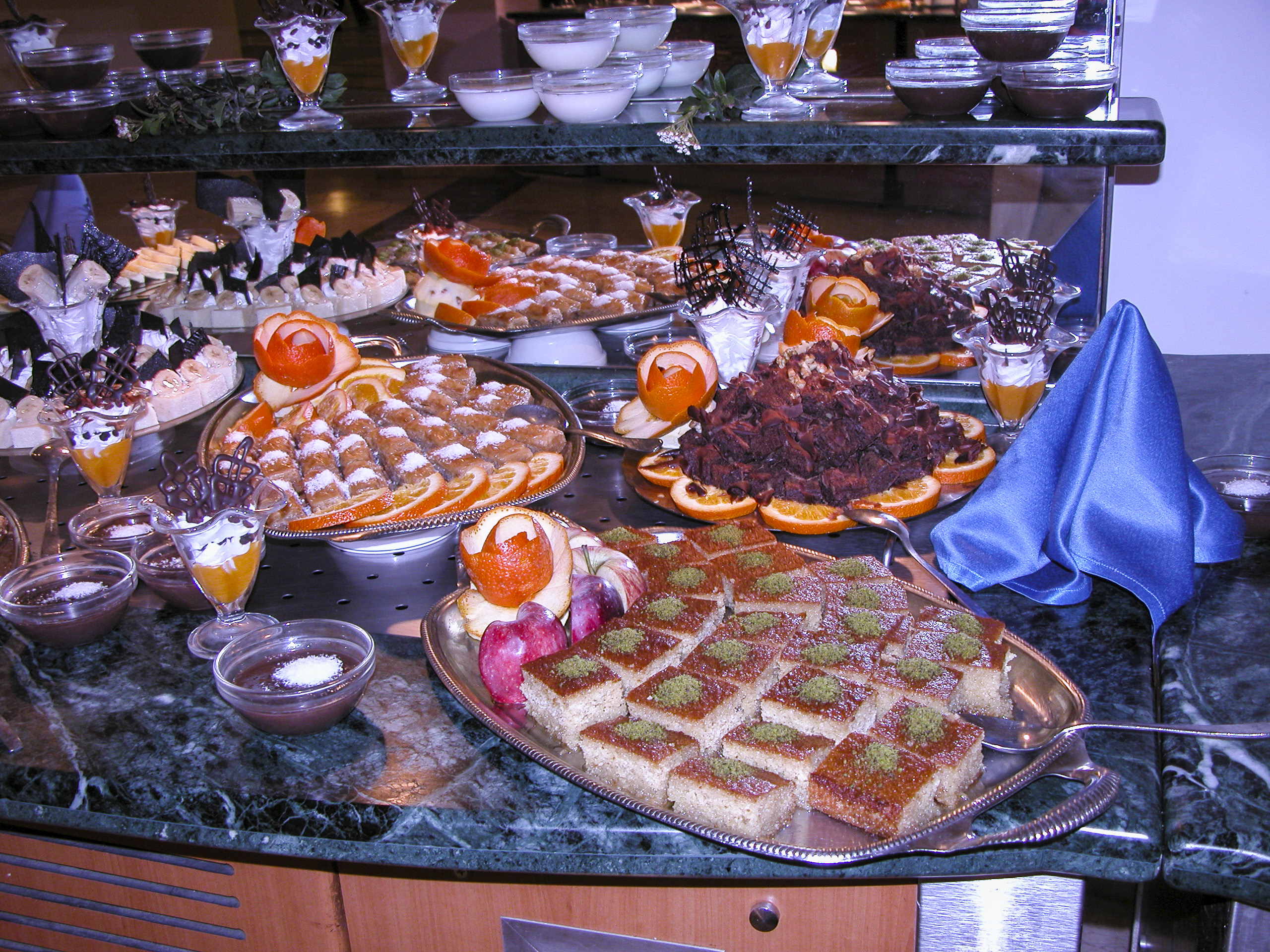
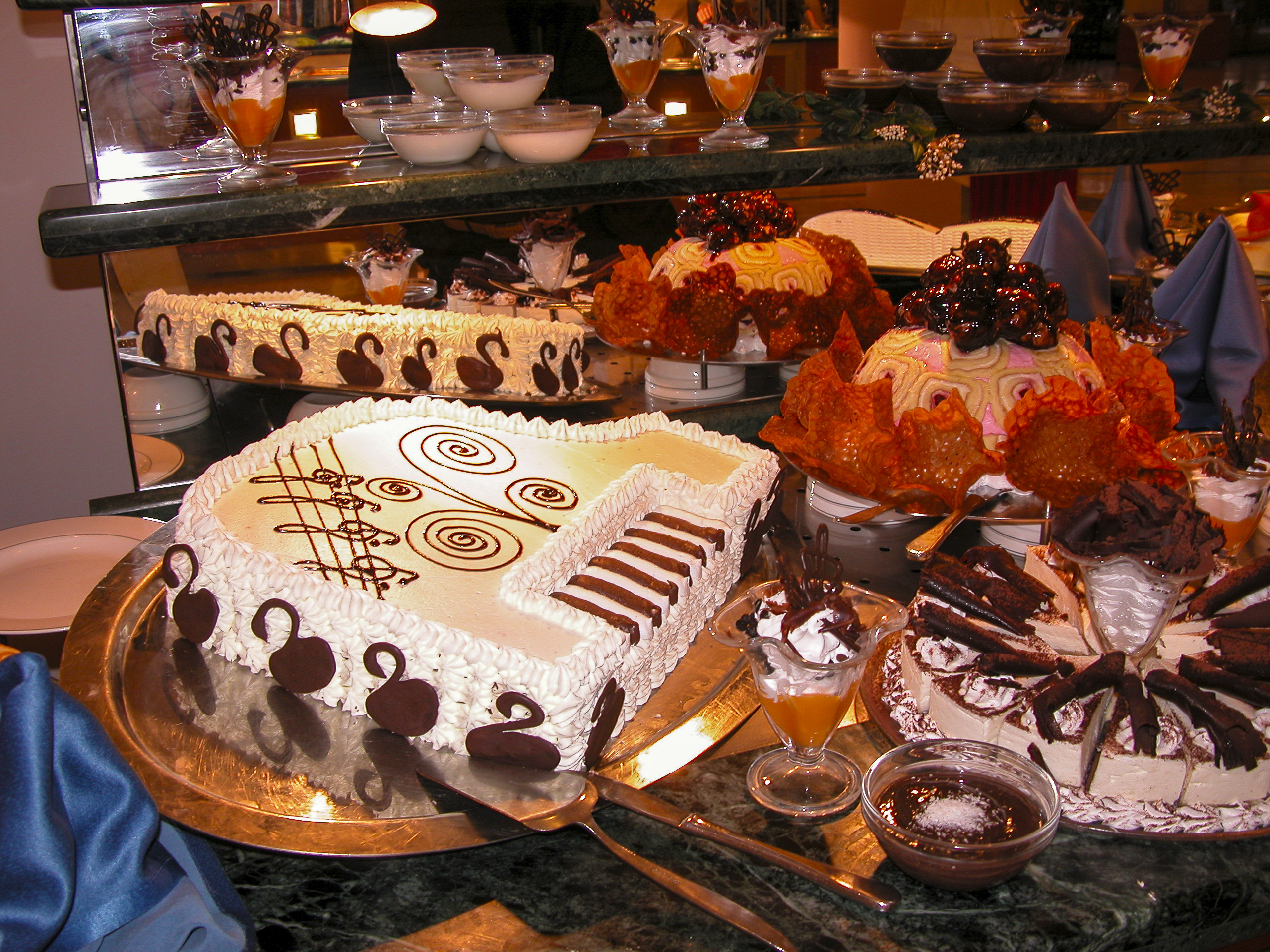
After placating my appetite somewhat by gorging myself on the mezze and entrees, I took a break to check out the desserts. The staff rolled out several carts packed with every kind of dessert imaginable, and some that could not have been imagined.

A stunning array of desserts was awaiting us after the main course.

If there was ever a time and place fitting the phrase “An embarrassment of riches,” this was it. The goodies just went on and on. There was no ending to them. There was no way any one person could even sample them all, though of course I tried my best.

A small fraction of the desserts served at the Eclipse Feast.

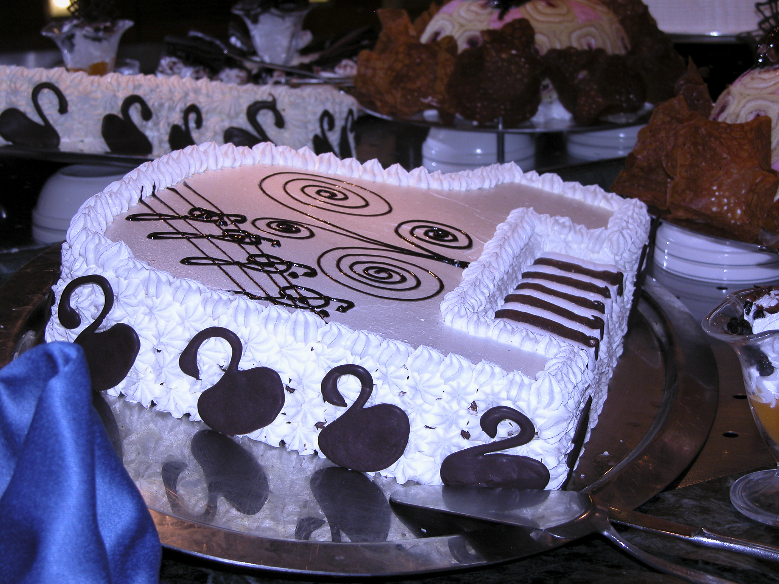
The creative decadence of the Kaya Side desserts surpassed our wildest imaginings. One of the most spectacular was this cake in the shape of a piano. (But don’t ignore the cheesecake next to it, either.)

Some of the star players in a concerto of desserts.

I had to get a close-up shot of this cake to do it justice. With a nod to Peter Tchaikovsky, one might say that this was a real Swan Lake of culinary composition.

You could say that this one really took the cake.

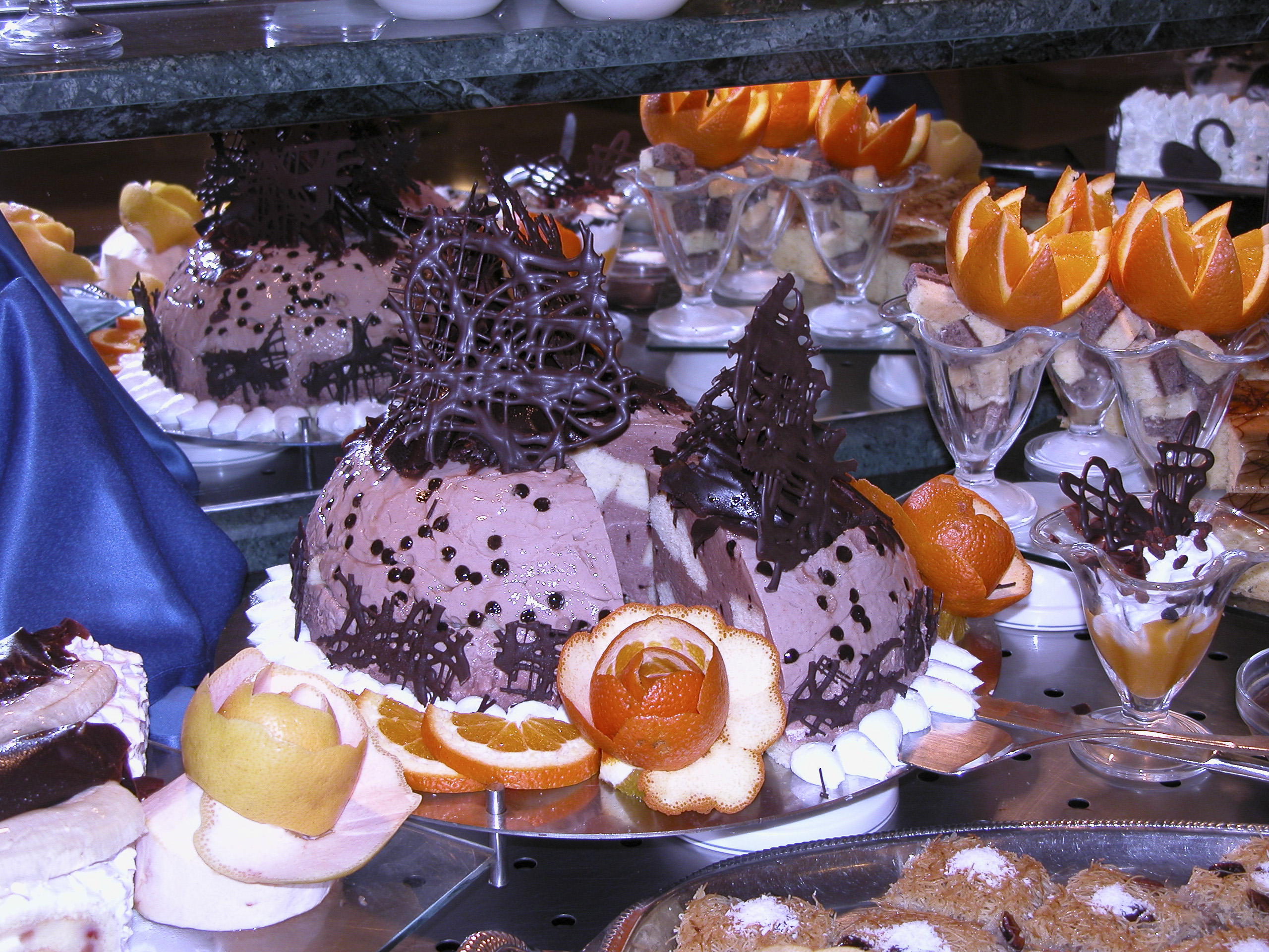
Whenever I look at the ice cream bombe in the next picture I am reminded of the 1978 movie “Who Is Killing the Great Chefs of Europe,” starring George Segal, Jacqueline Bisset and Robert Morley, in which each of the chefs is murdered in a manner befitting his or her culinary specialty. For example, the seafood maestro is drowned in a lobster tank. The chef whose specialty is baked pigeon en croute is baked in a 450 degree oven. Another, famous for his pressed duck, is pushed headfirst into a duck press. The killings follow the order of servings in a meal, with the dessert chef intended as the final victim.

Bombe.

Naturally, the dessert chef and heroine, played by Jacqueline Bisset, is to be killed by – what else? – a bomb within a bombe. The killer swaps the ice-cream bombe made by Bisset for an exact duplicate with a bomb hidden inside. I won’t spoil the movie for those who haven’t seen it by telling how it ends.

Bombe II.

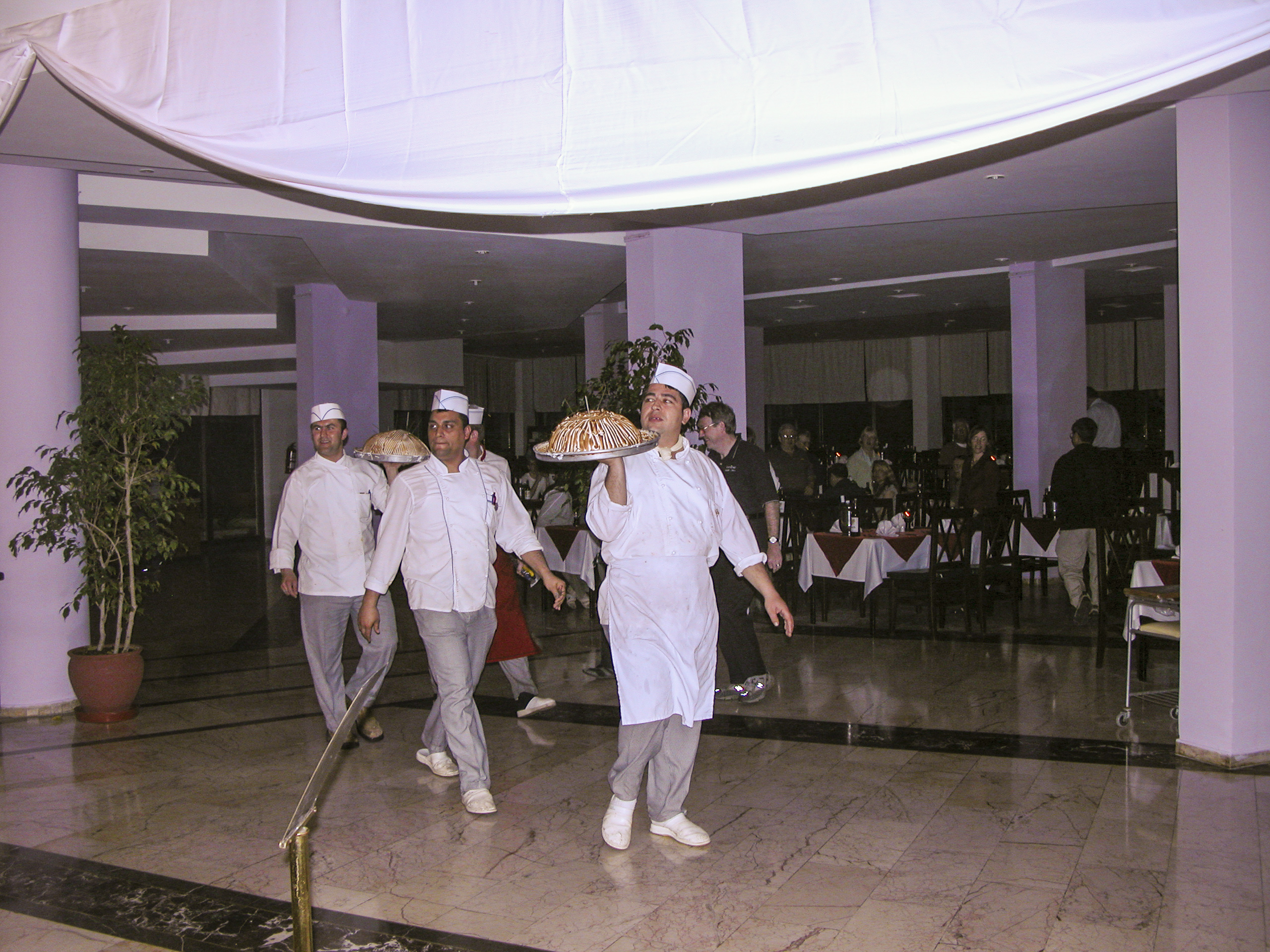
Something similar, I suspected, would be in store for us that evening. And sure enough, for the Grand Finale the kitchen staff came trotting out bearing not one, but several, bombes.

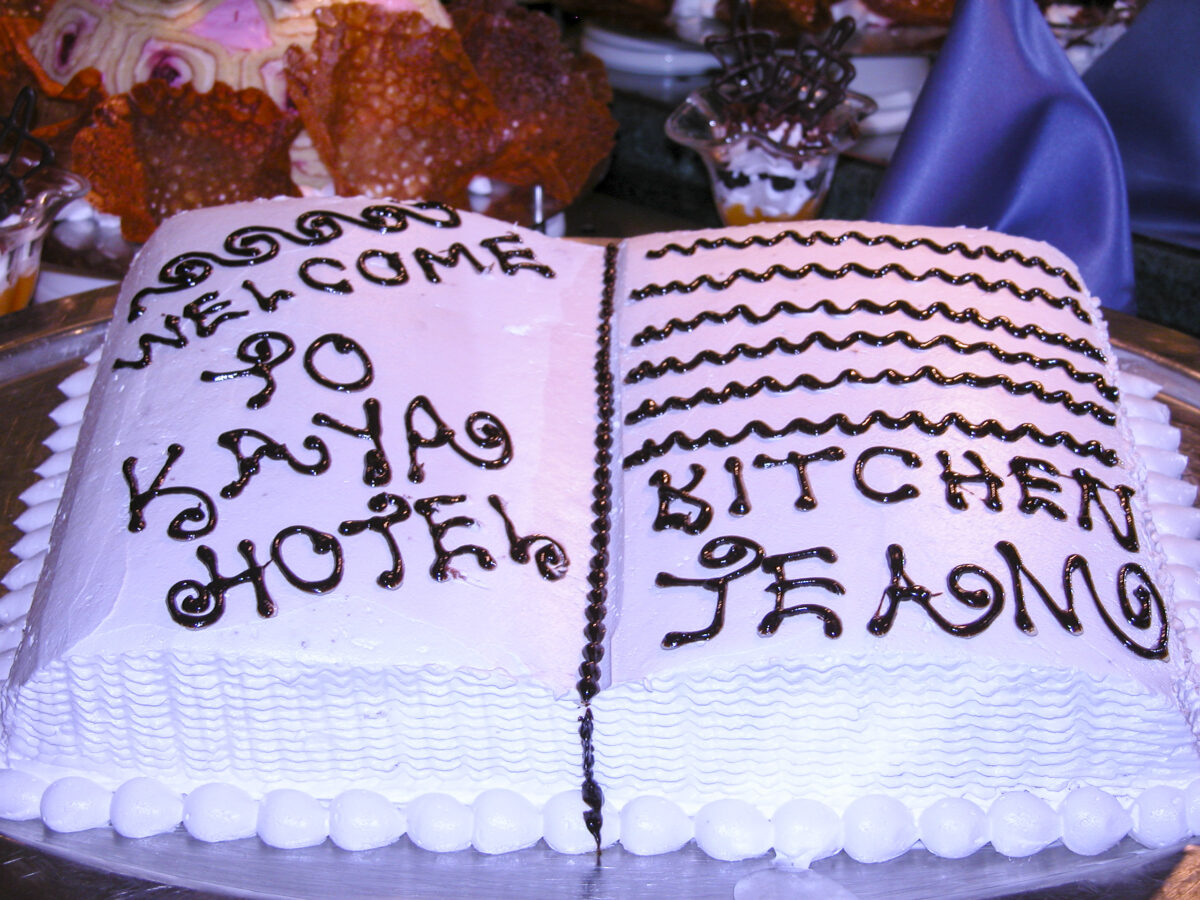
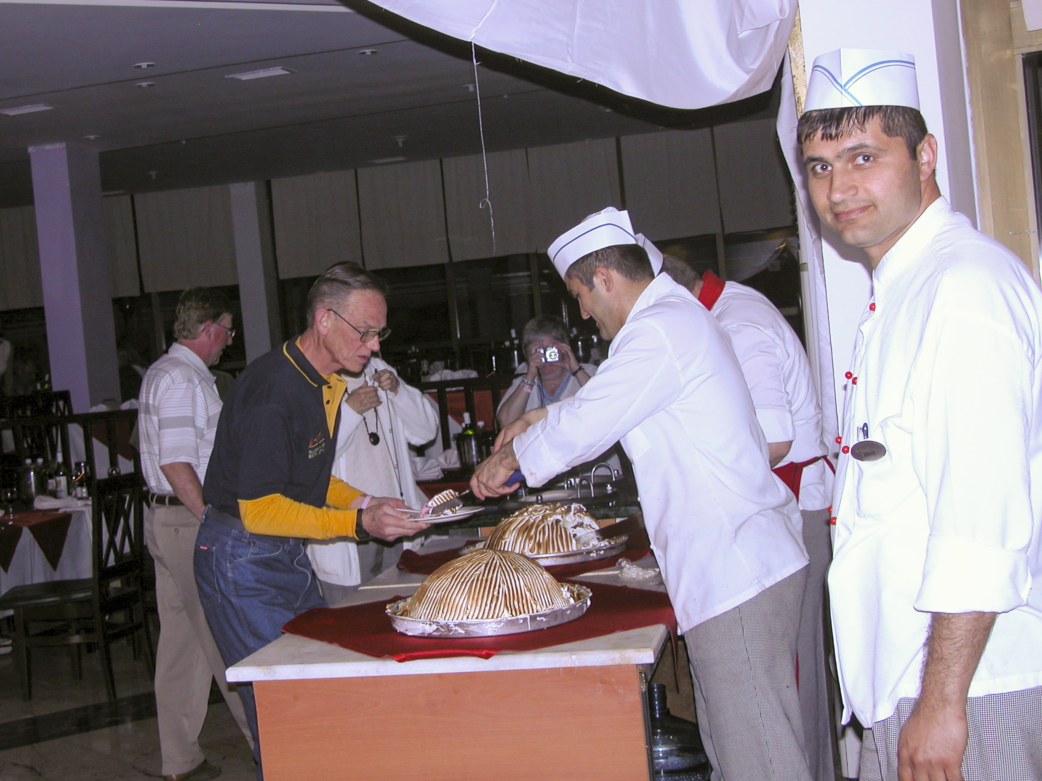
The Kaya Side Kitchen Team makes a grand entry with their masterpiece, the Nuclear Bombe. Several of them.

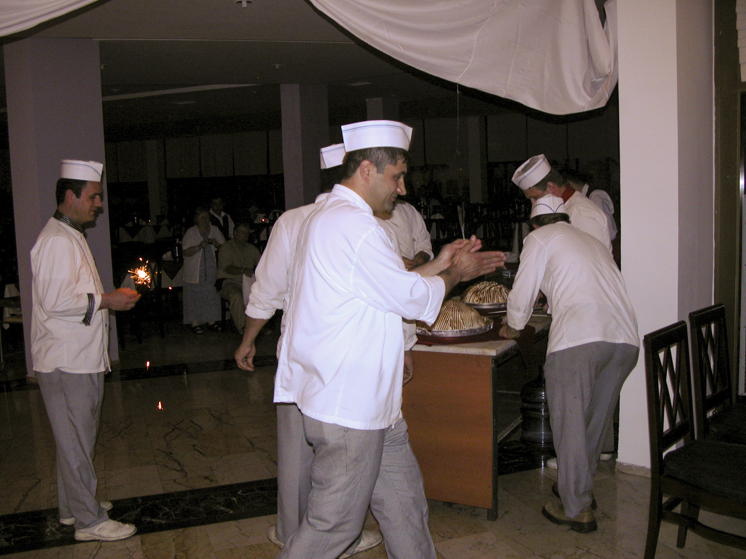
To further heighten the party atmosphere, the cooks lit off fireworks – just sparklers, but I suspect they would have brought the wrath of the fire marshals if this had been done in the USA. As for me, I thought maybe these guys were real terrorists after all, and they were going to light the fuses, disguised as candles, on the bombes and blow us all away.

Maybe these are real bombs after all, and the cooks are really terrorists in disguise.

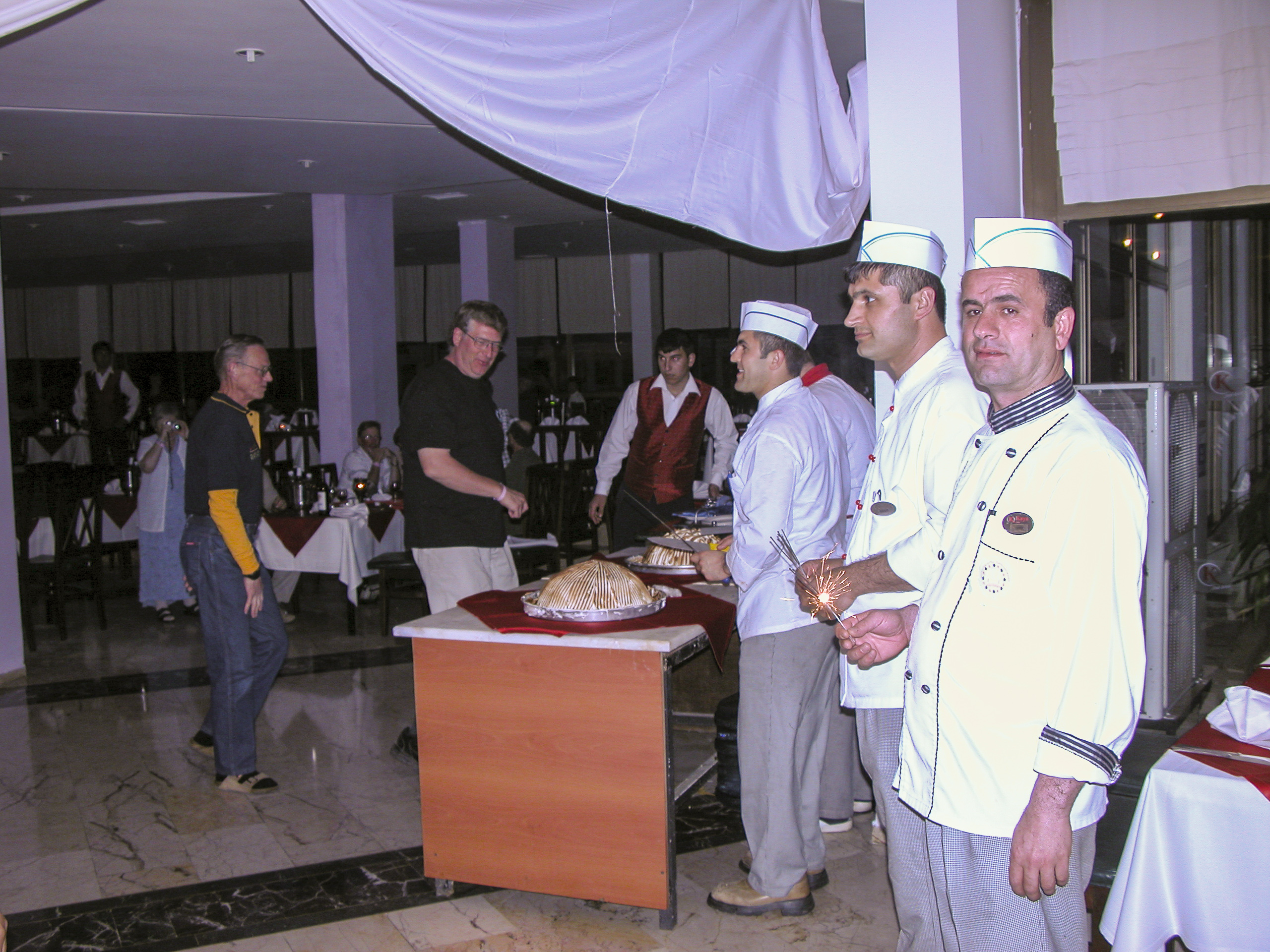
We selected some sacrificial lambs, and deputized them to be first to approach the table where the bombes were being served.

Michelle and Chuck warily approach the table aux bombes.

And it turned out we were not completely wrong. The bombes did explode – they burst with flavor in our mouths.

Chuck gets a generous helping of shrapnel from the bombe.

At the end of this fabulous evening out of the Arabian – er, I mean, Turkish – Nights, we retired to our rooms tired, sated, and inebriated. We also wondered how in the world we would ever be able to get up in time to catch an early morning flight to Istanbul.

Categories
Turkey, March-April 2006

Eclipse Day, March 29, 2006

We viewed the Total Solar Eclipse of 2006 from the grounds of the Kaya Side Hotel. Before launching into our experiences on that day, I have to say a few words about the hotel, and for that I have to begin with the evening before.

The Kaya Side Hotel is the most luxurious place I have ever stayed in, bar none. Of course I’m not the kind of person who gets to stay in posh hotels very often, but I’ve been in a few. What set it apart, however, was not the appointments, furnishings, or decor, which were all great, but the service. I have graphic evidence to show for this, as you’ll soon see.

When we first learned that we would be staying at the Kaya Side, I thought that it must be named after Kaya Tuncer, and that would be because he owed the hotel. Naturally, since he was underwriting the expedition, we would be staying in his hotel. I was soon disabused of this notion: the name was merely a coincidence, Kaya is a common name in Turkey, and Kaya means “rock” in Turkish. Mr. Tuncer’s wealth came from his involvement in the Aegean Free Zone in Izmir, and not from investment in hotels, nor did he own any. (Kaya is also the name of one of Sandie’s nephews, who lives in the Michigan Upper Peninsula, but that’s just another coincidence; his parents are not Turks and don’t know any Turkish.)

I also learned that the Kaya Side, like all the other hotels in Side, was normally closed at this time of year; they had only opened for the eclipse and would shut down until summer after we left.

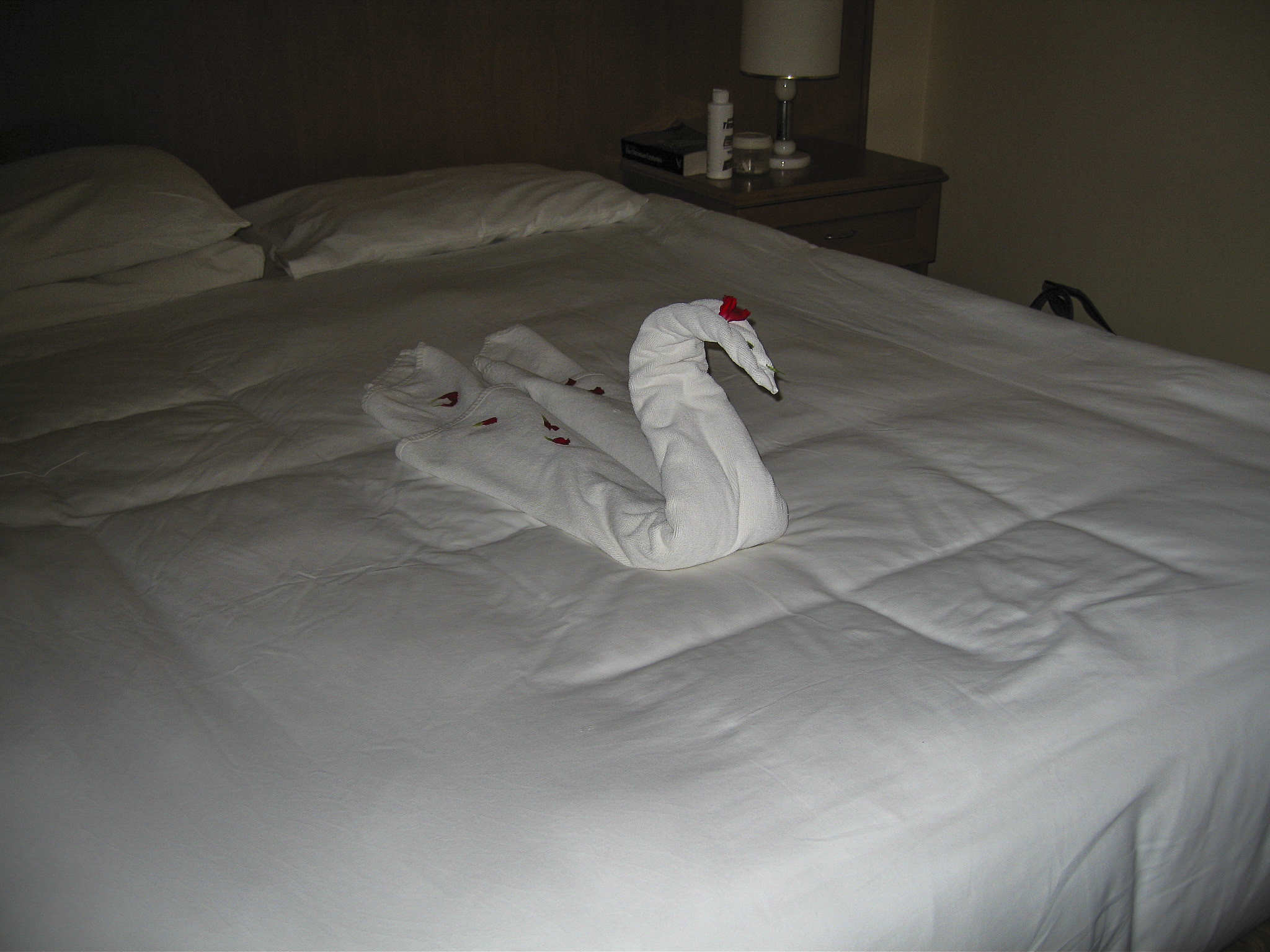
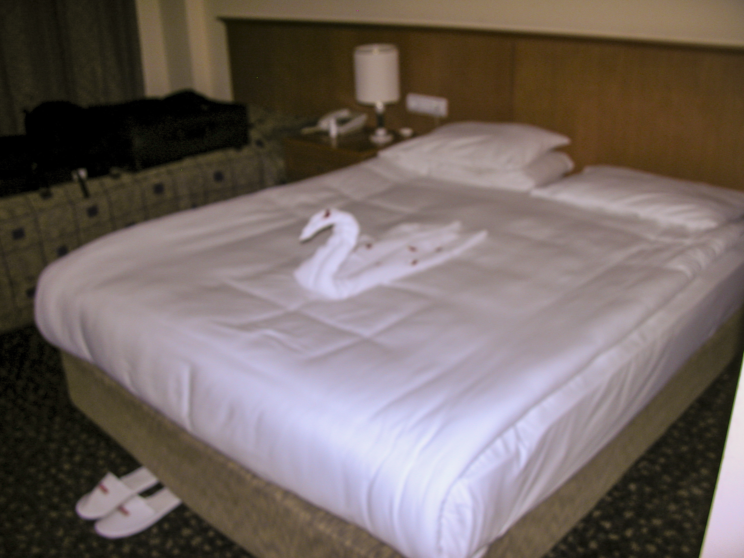
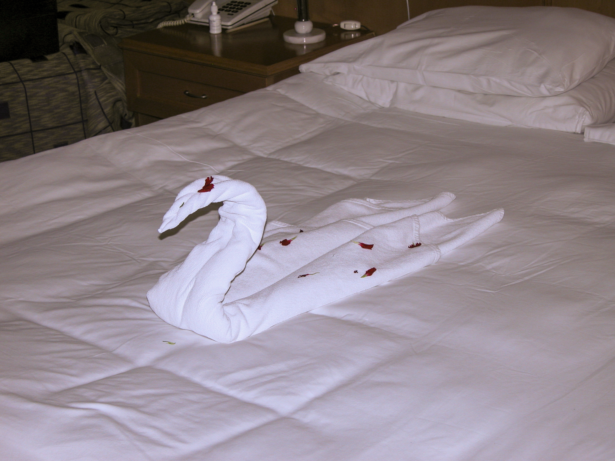
The night before the eclipse, we returned dead tired from our day in the antique ruins of Pamphylia, to find that our room had been specially fitted out in honor of our wedding anniversary:

Upon returning from our explorations of ancient Pamphylia, we found this wedding anniversary greeting from the staff of the Kaya Side Hotel. Unbelievable!

Among the amenities provided as a matter of course were bathrobes, slippers, and a nice travel bag, which I still have.

The complimentary amenities included slippers, seen at the foot of the ultra-luxurious bed.

The towel folded in the shape of a swan, with rose petals sprinkled over it, was unlike anything I’ve seen before or since, and it was just one of the many features that put the Kaya Side in a class by itself.

The only time I’ve ever been greeted by an origami swan.

I wasn’t surprised by the amazingly soft and absorbent towels – after all, Turkish towels were invented in Bursa, Turkey, in the 17th century. That’s why they’re called Turkish towels.

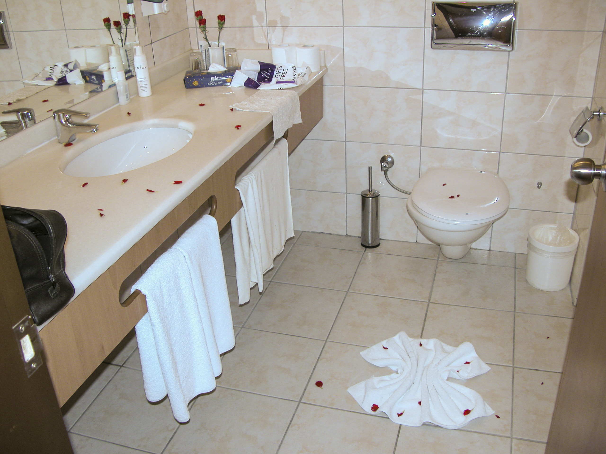
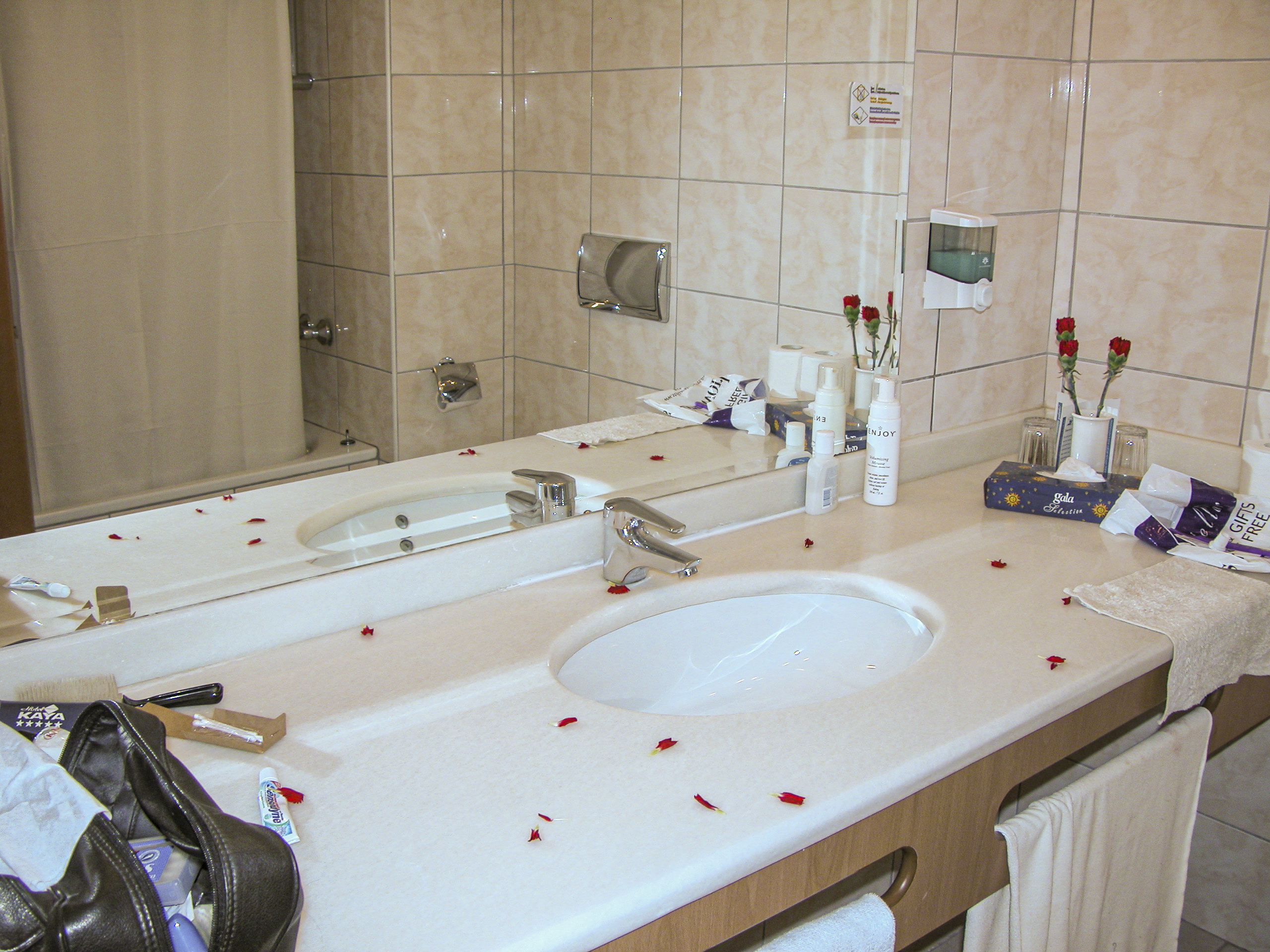
The Kaya Side was easily the most luxurious hotel I’ve ever stayed in, not excepting Las Vegas. The roses and rose petals scattered around the bathroom added an extra touch of opulence to an already outstanding ambience.

The roses in the vase in the bathroom were real, of course. And so was the complimentary bottle of champagne that awaited us – which, unfortunately, we forgot to photograph before we drank it up.

Another take on the tastefully decorated and sparkling-clean bathroom facilities.

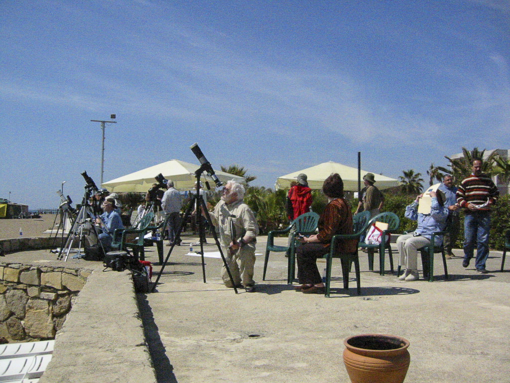
Eclipse Day, March 29, dawned bright and clear, and we started schlepping our gear out toward the beach behind the hotel to set up for the big event.

The beachfront park behind the Kaya Side Hotel was the perfect site for watching an eclipse, and the weather gods were smiling on us.

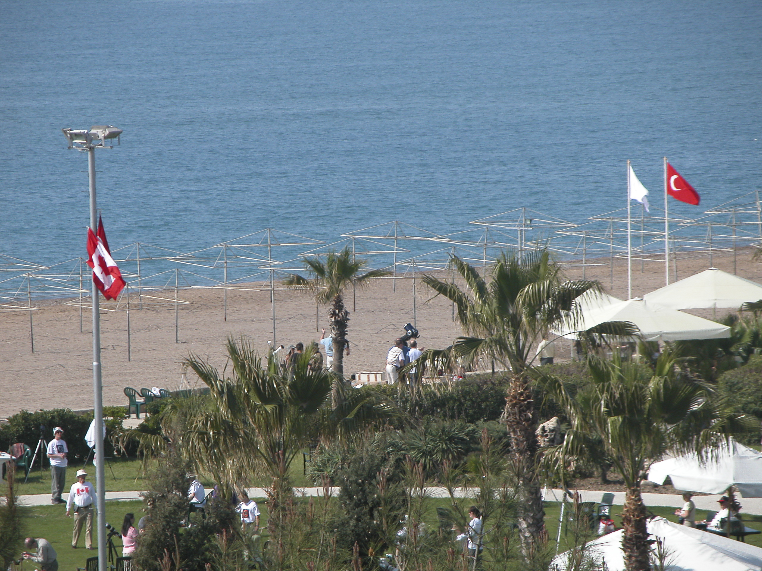
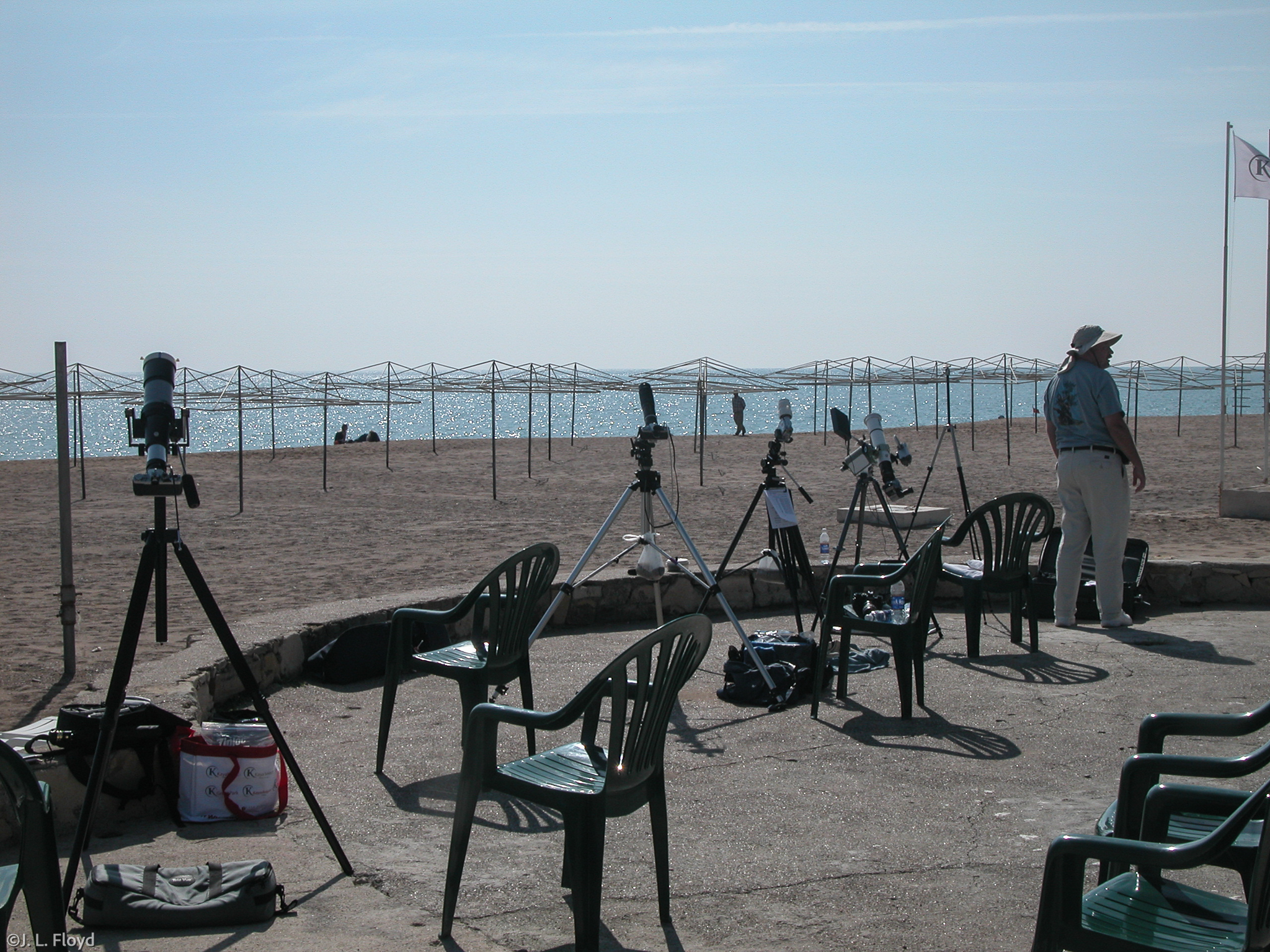
In the summer the beach would have been filled with vacationers under umbrellas (you can see the naked umbrella frames in this picture). But today there were no beachgoers, just eclipse-chasers, who, fortunately, did not have to set up their scopes on the sandy beach itself, but rather on the paved area in back of the hotel.

The beach behind the hotel was festooned with umbrella frames, but without the coverings that made them umbrellas.

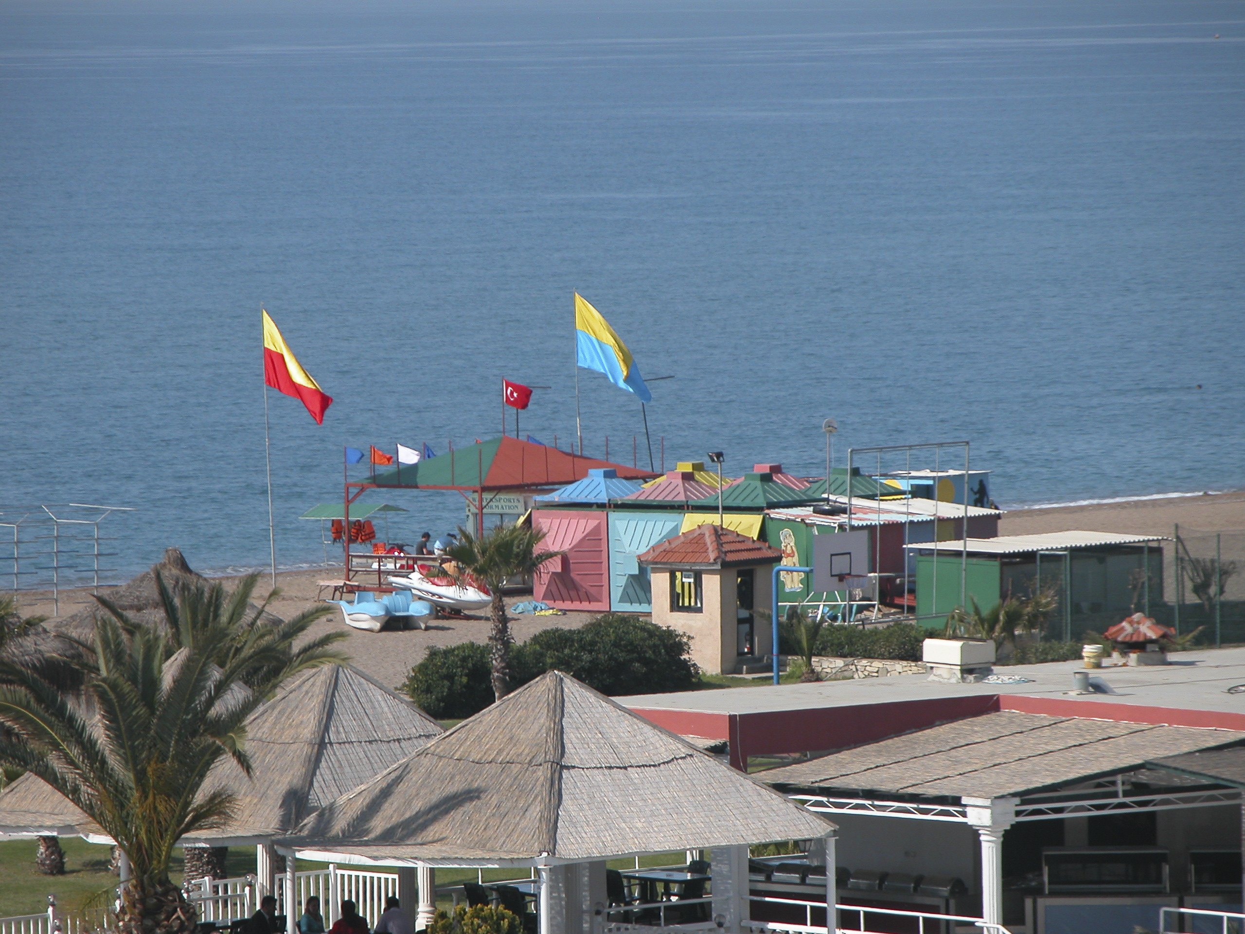
On a normal summer day there would have been dozens of paddleboats and jet skis, but this was early spring, and the water was cold, and anyway people were only here for the eclipse.

The paddleboats and jet skis were idle on Eclipse Day, and the gaily decorated cabanas were mostly deserted. Everyone was watching the eclipse.

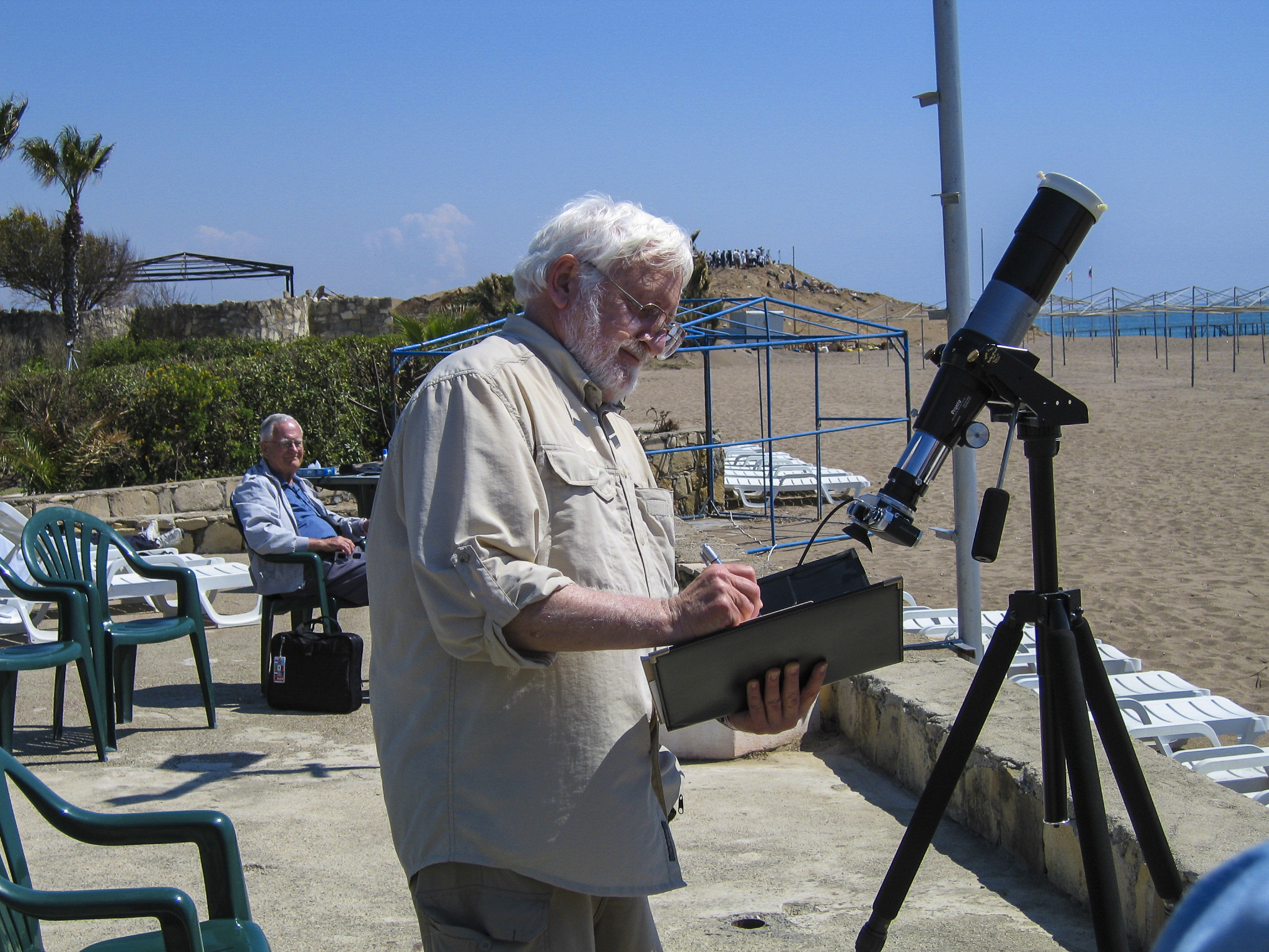
I began to set up the equipment I had brought to shoot the eclipse, while Sandie shot me. My equipment was fairly simple: a TeleVue Pronto 70mm refractor with a Baader mylar white-light solar filter on a non-motorized, unguided TelePod mount, and an Olympus OM-1 film camera. Astrophotography-wise, I had not yet updated to the digital age in 2006.

I set up my equipment while in the background, just behind my back, Marvin Blaski is relaxing and enjoying watching me blunder about.
Some people came prepared for extreme winter weather, up to and including Arctic blasts, while Chuck Mattox (right) was all set for a balmy day at the beach.

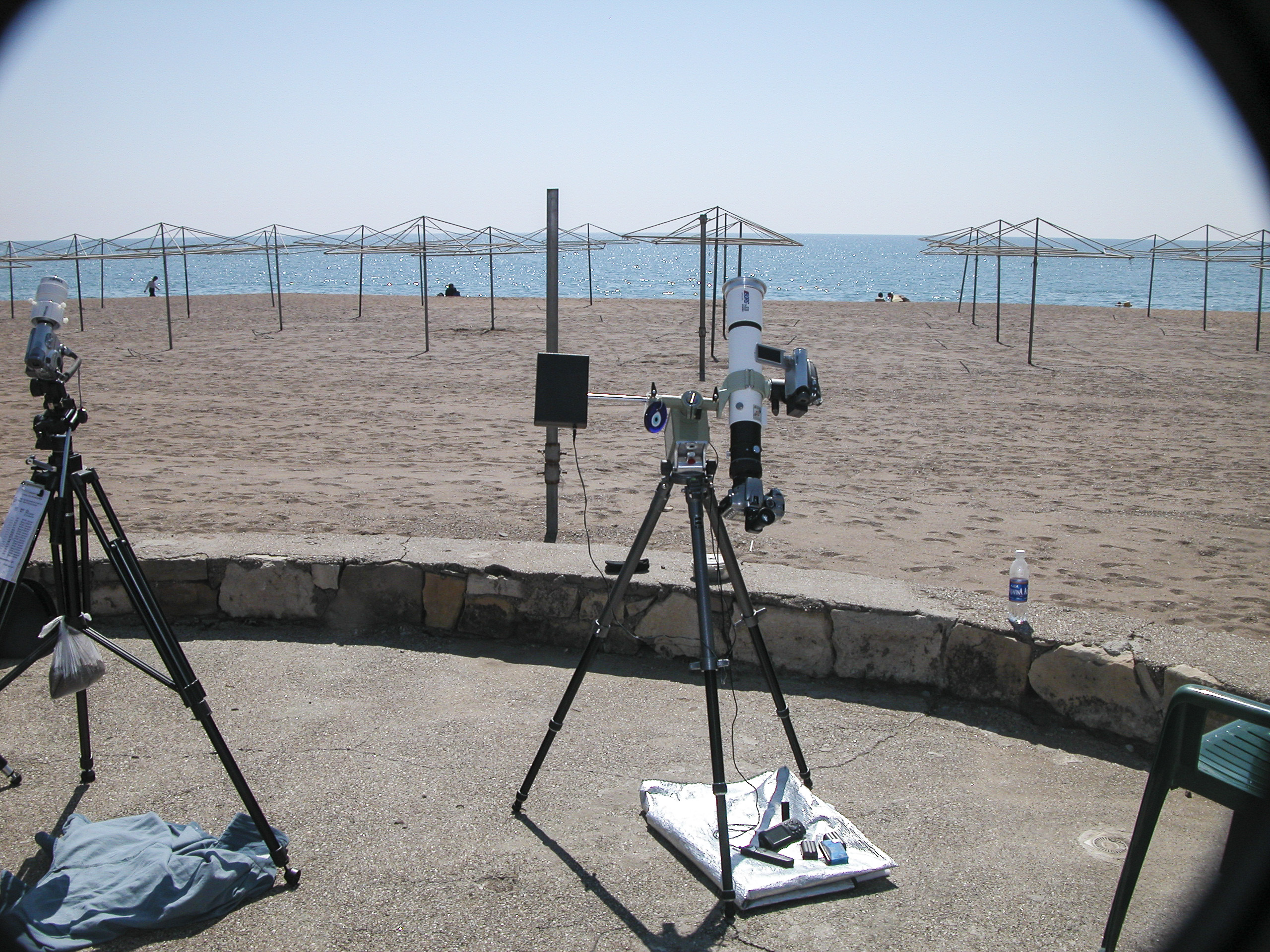
Jim Windlinger brought a superb array of equipment to the 2006 eclipse – a Borg telescope, all-automated mount and guiding apparatus, digital camera. But it was the Nazar Boncuk hanging from the counterweight shaft that was the real secret of his success.

Jim Windlinger’s setup, center-right. I think the scope on the left belonged to Rick Gering.

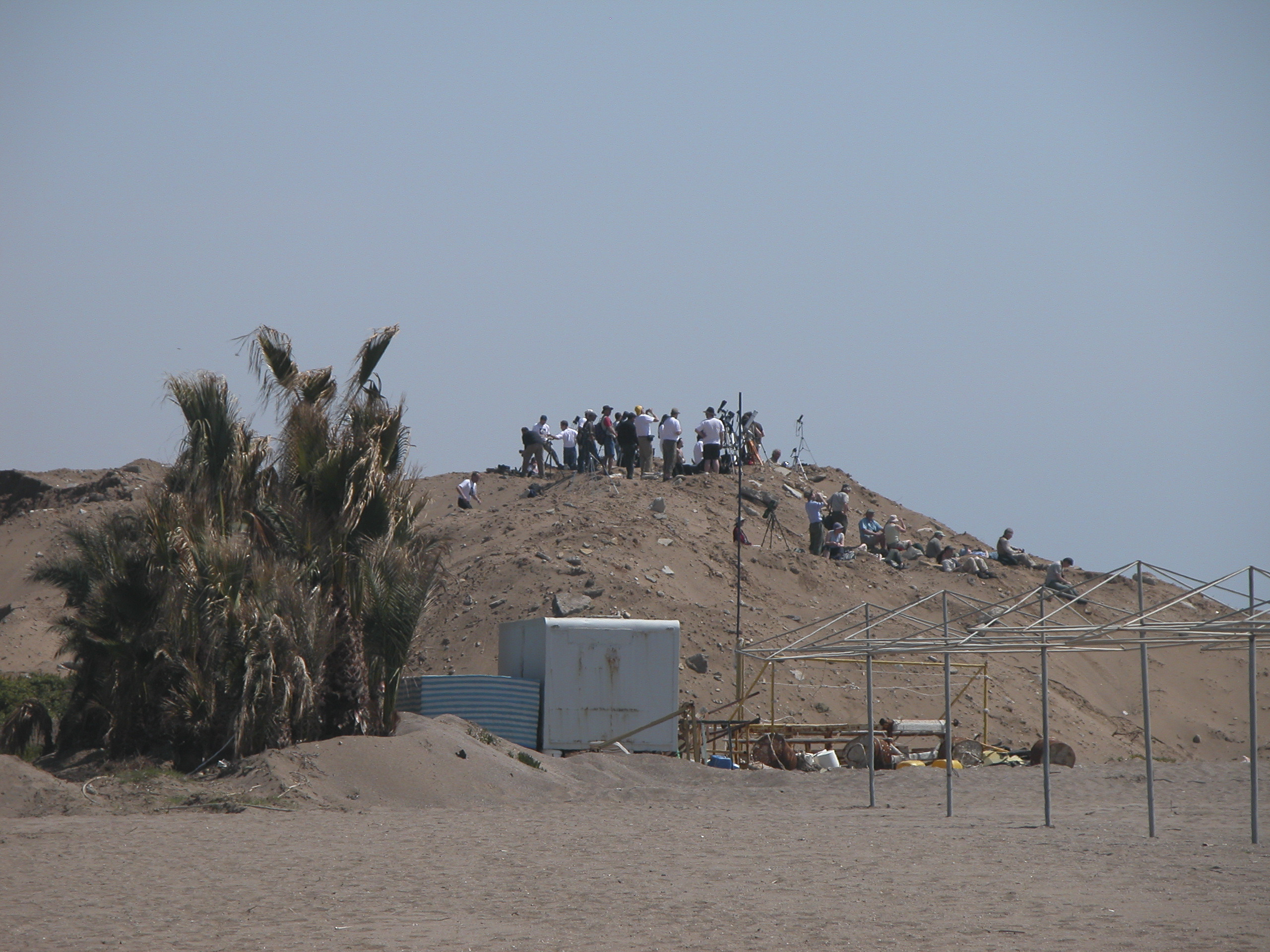
A group of people from a neighboring hotel which did not offer facilities as nice as the Kaya Side gathered on a hill to watch the eclipse. I guess they thought they would get a better view if they climbed closer to the Sun.

I guess these people figured they could get a better view of the eclipse by being a bit closer to the Sun.

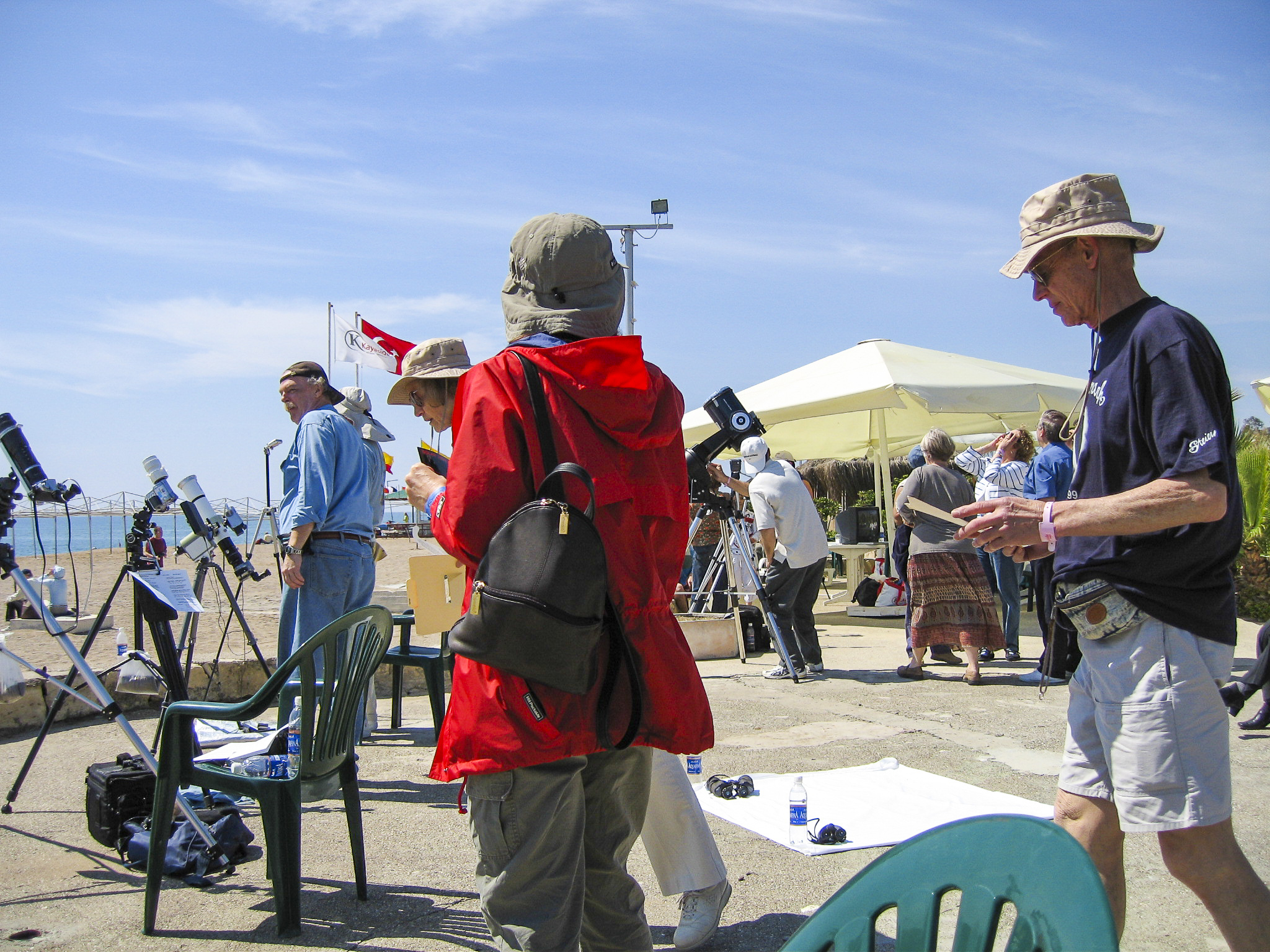
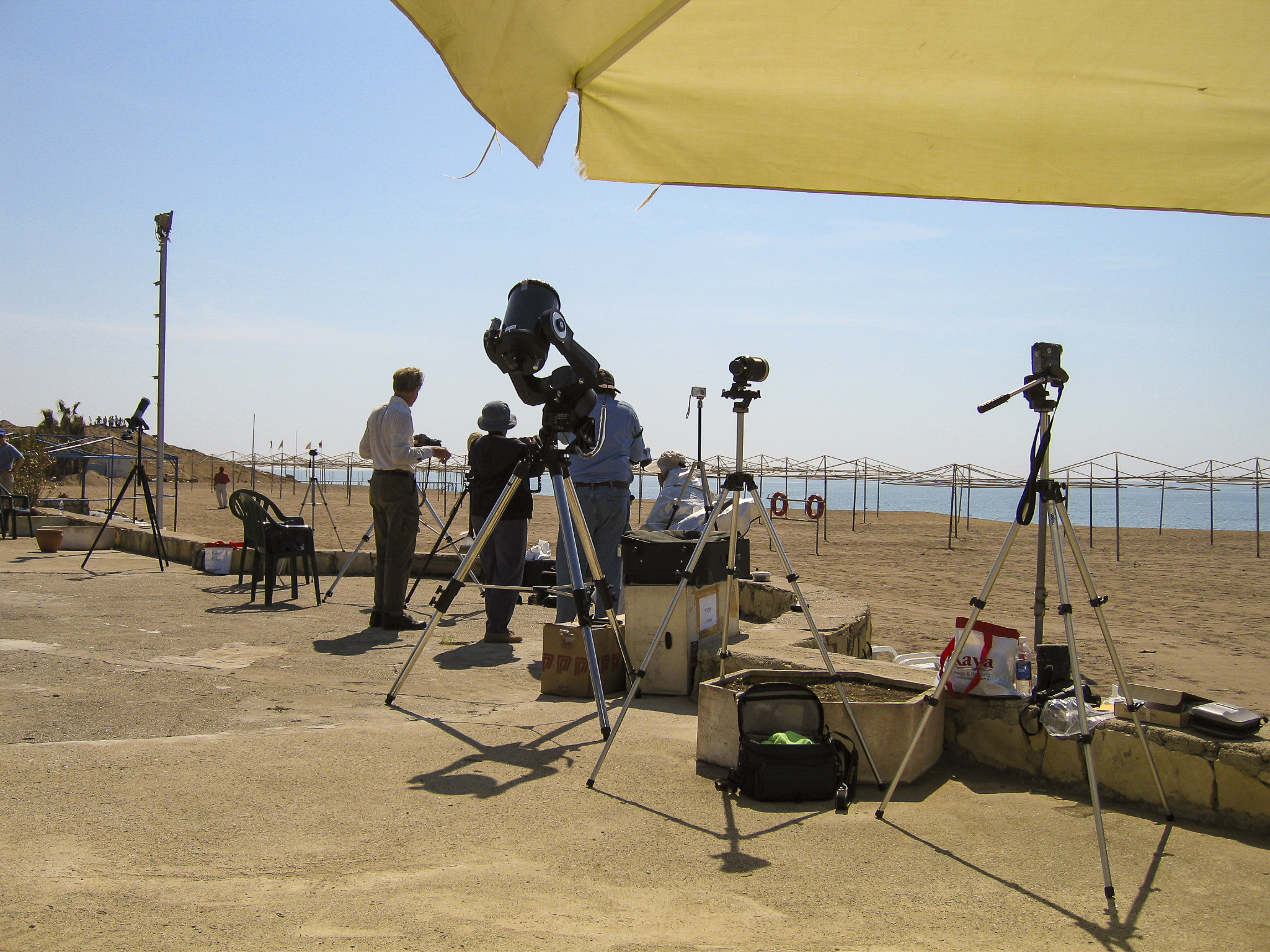
Michelle Evans brought the largest scope in our tour group, an 8″ Meade LX-200 Schmidt-Cassegrain, which she had borrowed from Space Camp Turkey. It was equipped for viewing only since no camera adapters for it were available. Some photographers were content with cameras on tripods (right of center). Others didn’t even have tripods, and did the best they could with hand-held cameras.

Michelle Evans borrowed an 8″ Meade LX-200 Schmidt-Cassegrain (large scope in center) from Space Camp Turkey for the eclipse, but it was for visual use only, no photography.

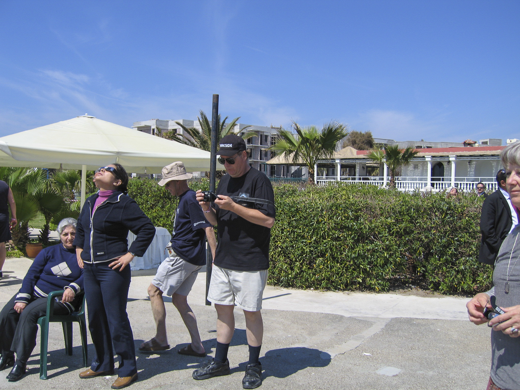
Michelle Evans had a hand-held camera to shoot the eclipse; in the photo below it appears that she has attached a periscope to it. But this is an optical illusion; if you look closely, you can see that the “periscope” is actually a pole stuck in the concrete behind her. Meanwhile, Chuck Mattox, just to the left of Michelle, appears to be stomping on an insect about to spring on the girl in front.

Michelle gets ready to shoot the eclipse with a periscope.

First contact! The Moon begins to nibble at the edge of the sun.

At 12:39:58.1, local time, the Moon starts to encroach on the disk of the Sun.

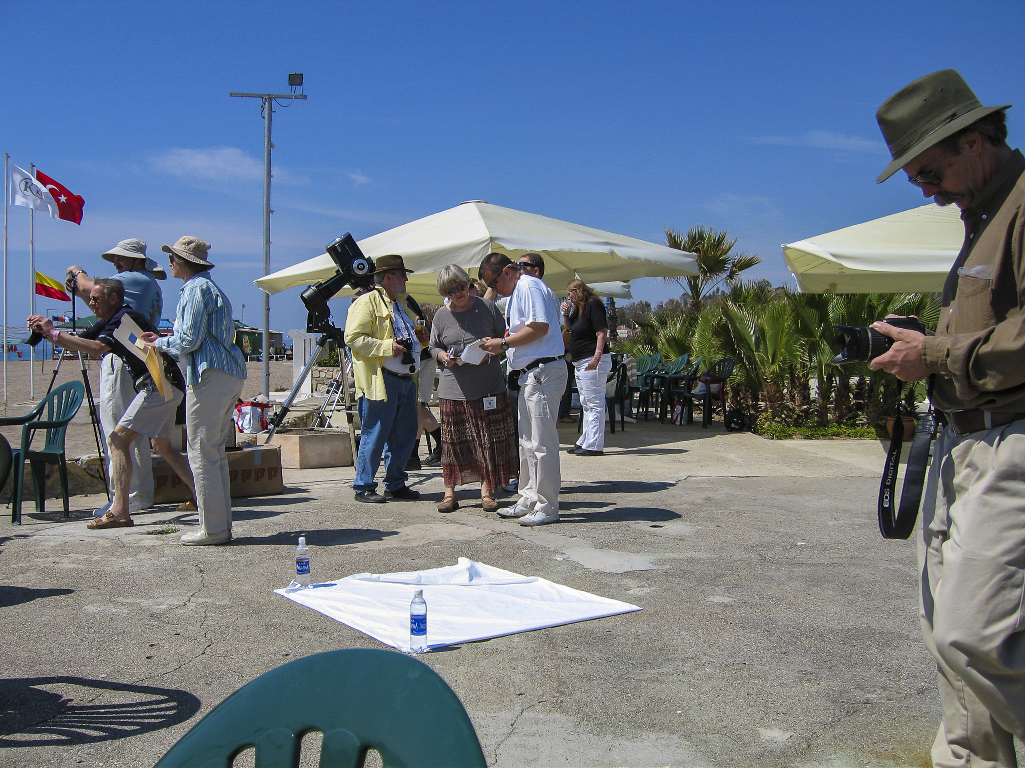
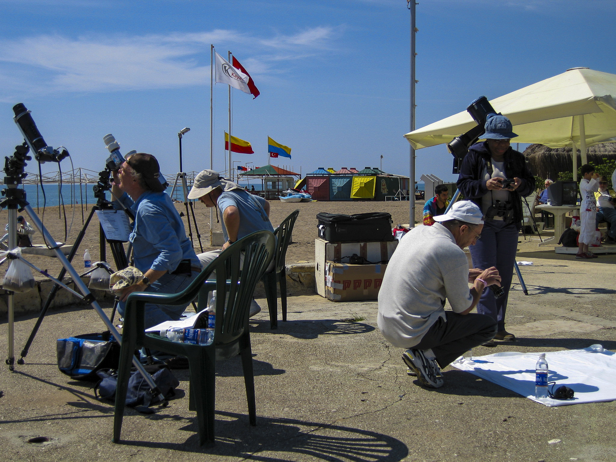
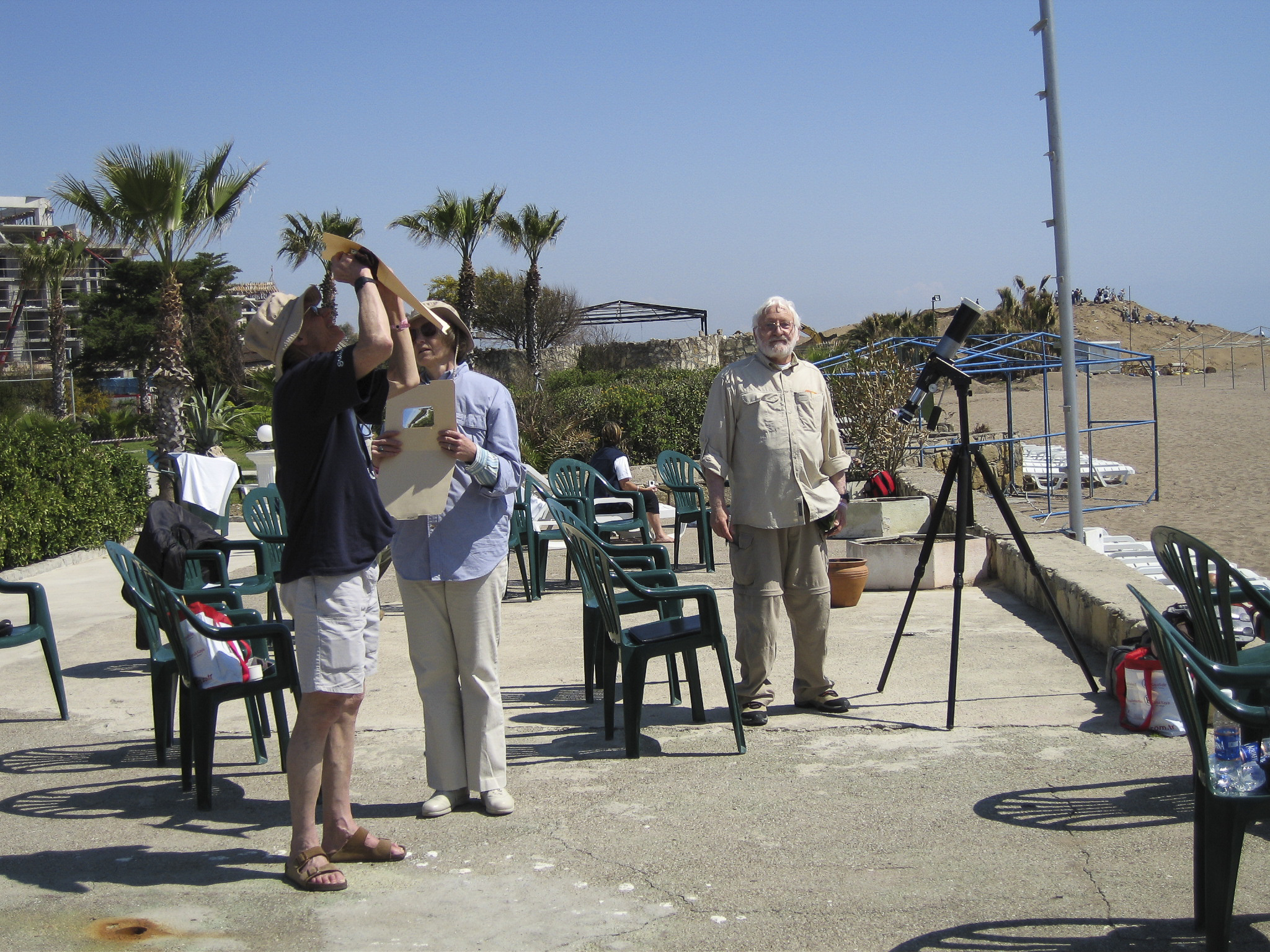
Someone brought a bed sheet, which they spread out on the ground with the intent of using optical devices to project onto it sharp and well-defined images of the Sun being eclipsed by the Moon.

Someone laid out a sheet on the pavement, with the aim of projecting onto images of the solar eclipse.
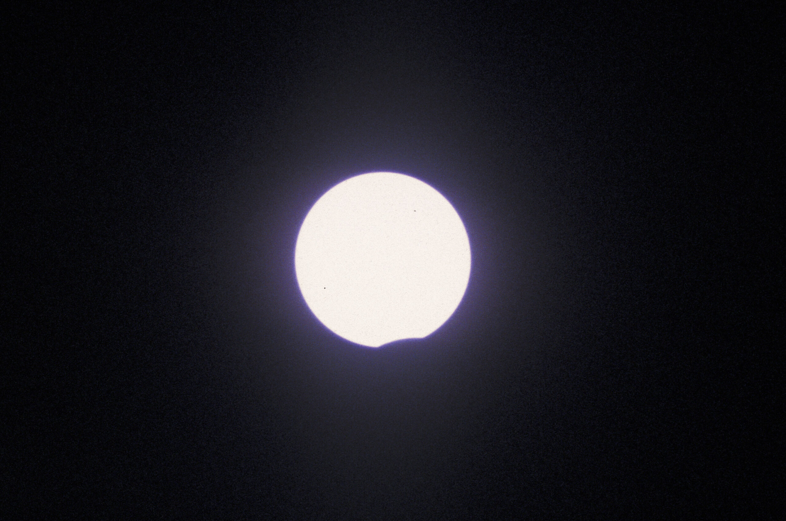
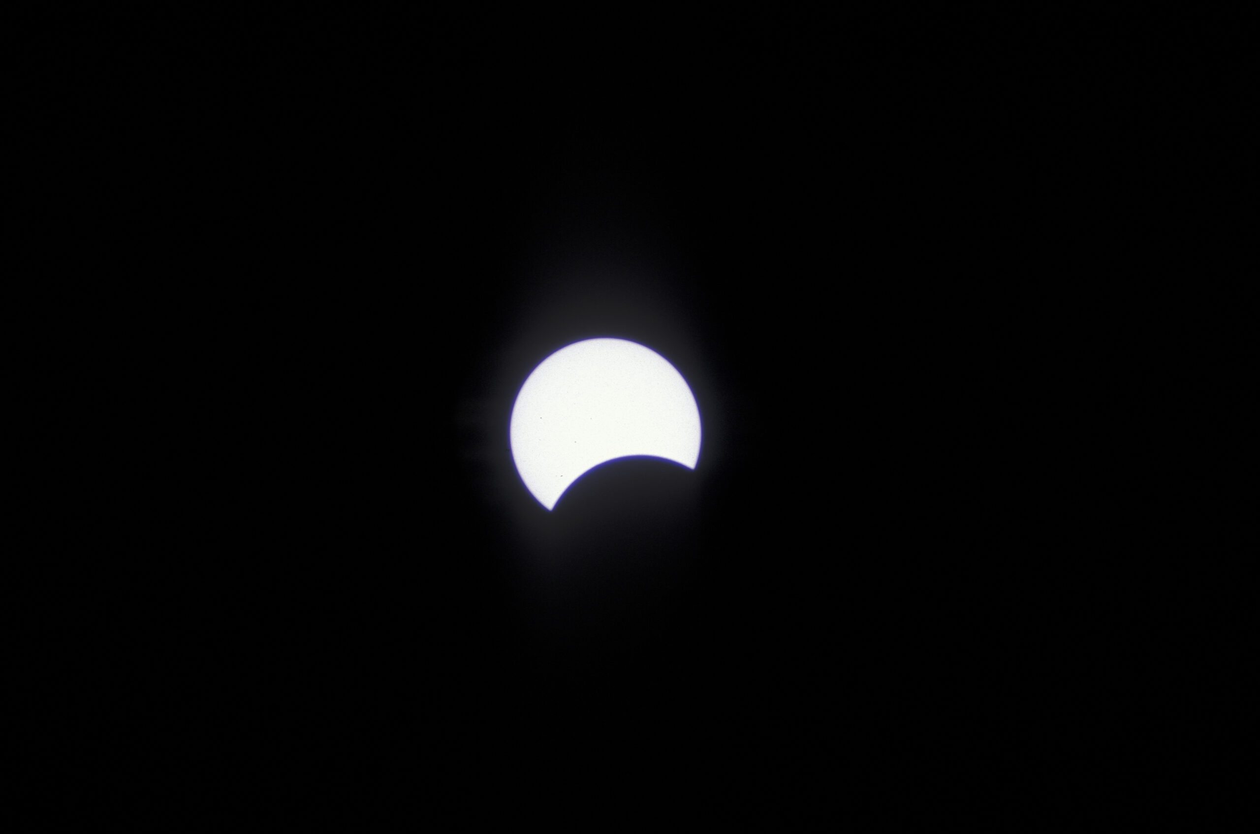
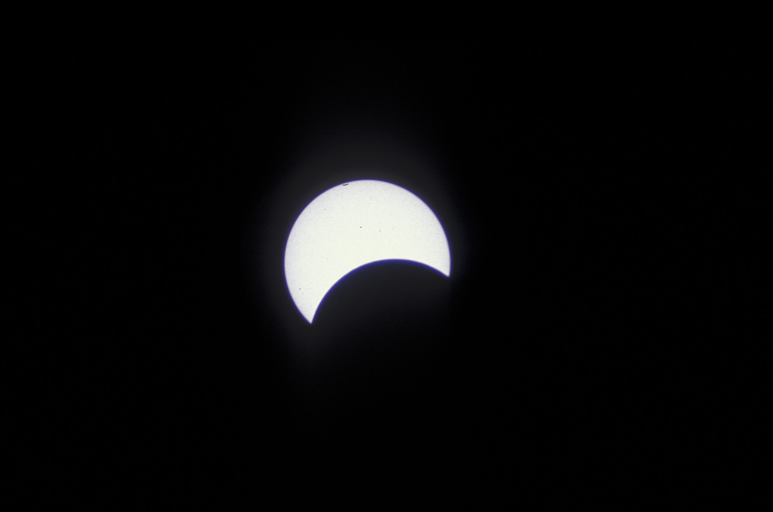
The Moon takes a bigger bite out of the Sun.

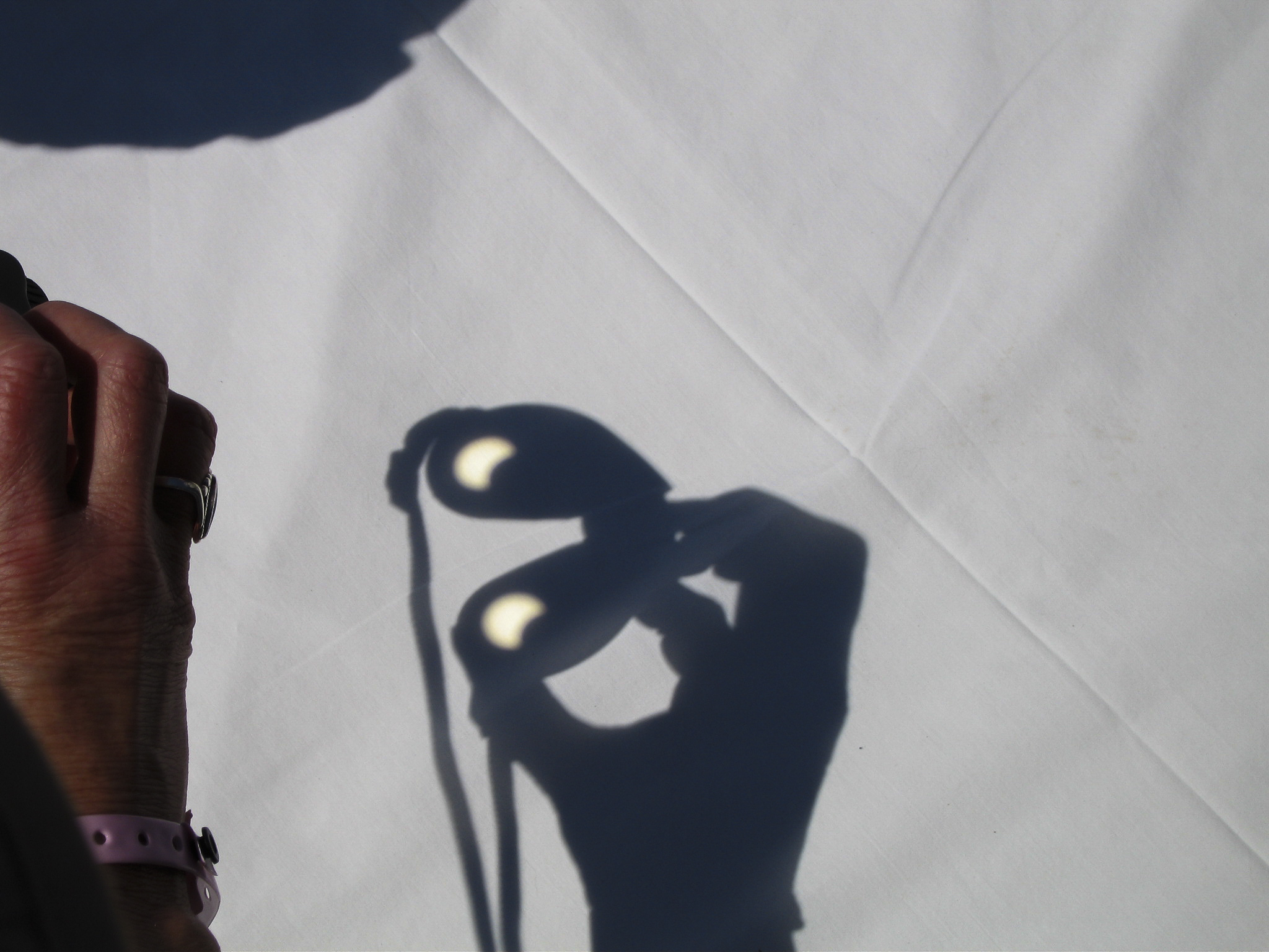
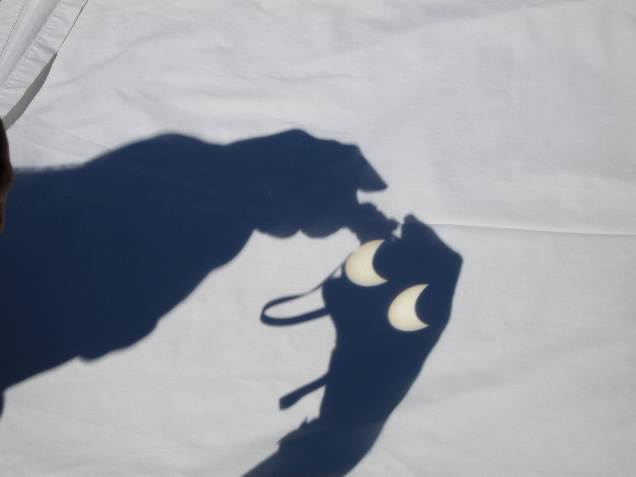
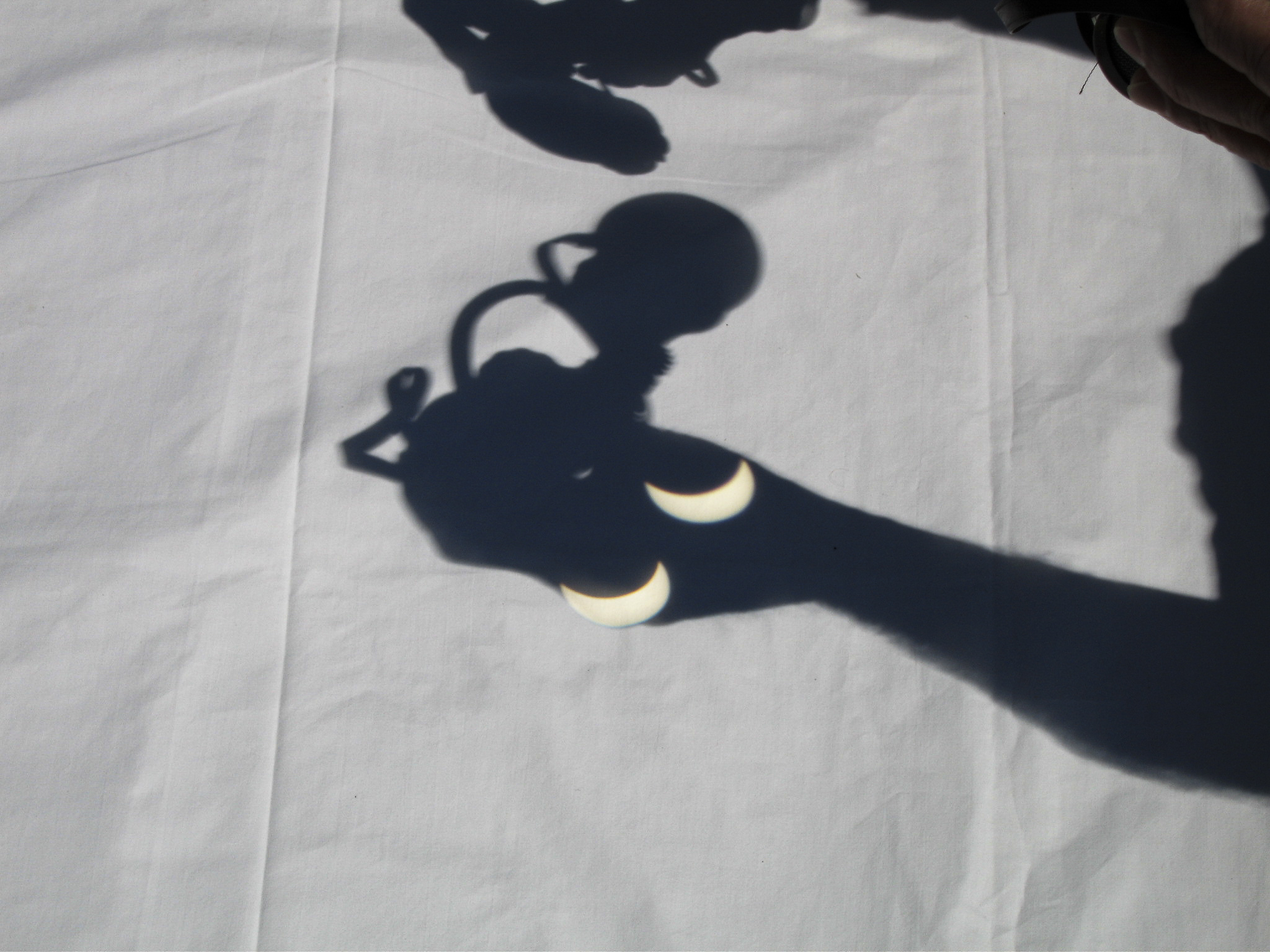
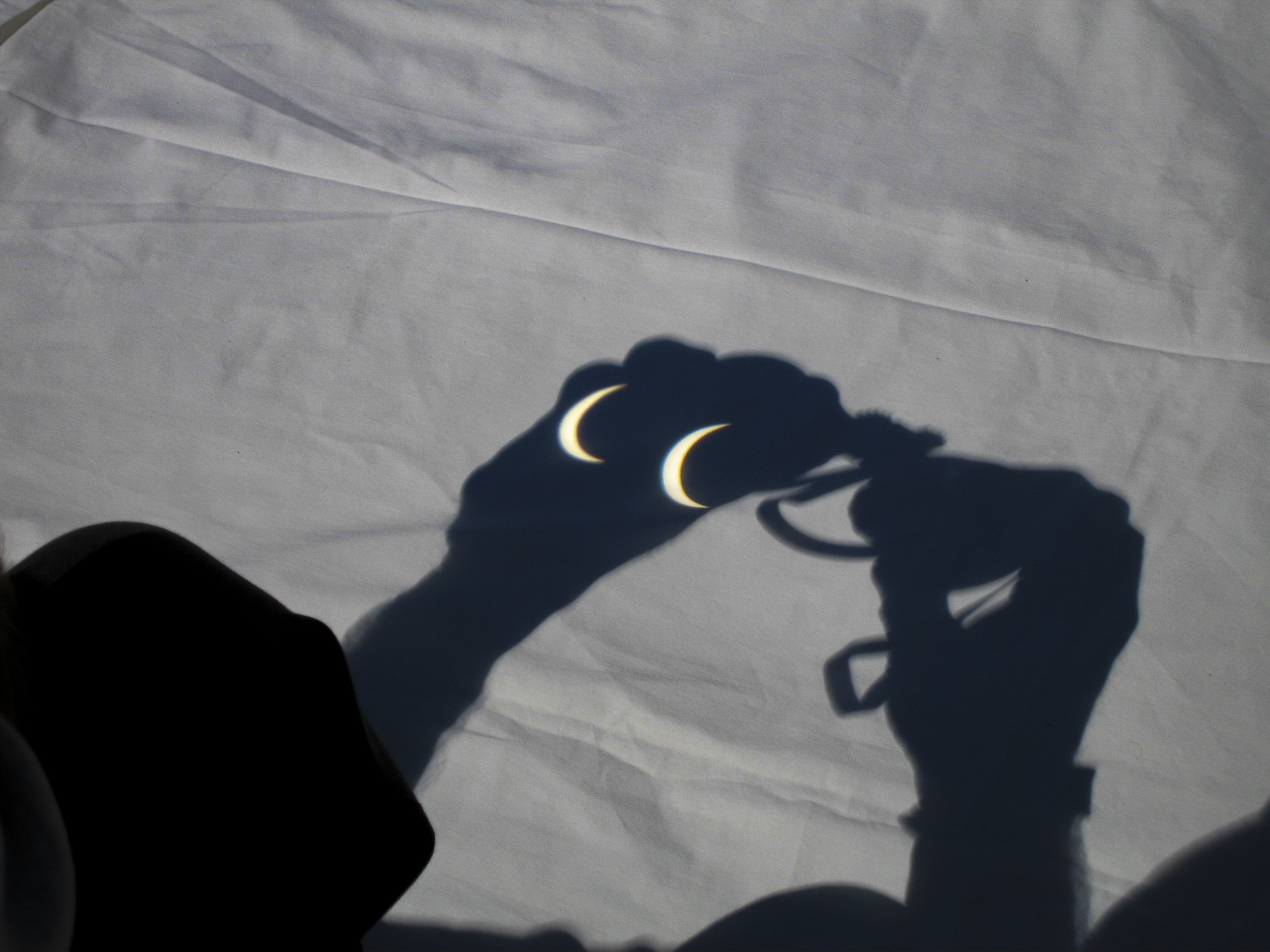
Sandie used a pair of small binoculars to project the image of the Sun being eclipsed by the Moon onto the bedsheet, and I photographed it.

The image of the partially-eclipsed sun is projected through Sandie’s binoculars onto the sheet spread on the ground.

I alternated between watching the eclipse, hobnobbing with other watchers, and adjusting my equipment. Since my mount was not motorized or guided, and thus could not track the Sun on its own, I had to continually adjust it to keep the Sun in view.

Since my setup was all-manual, with no motor drive or Go-To electronics, I had to continually adjust the mount to keep the Sun’s image in the camera viewfinder.

Keeping the Sun’s image centered was a bit of a challenge. The sun was high in the sky, so the scope had to be pointed upward at a steep angle; consequently the camera was low down, and I had to get on my knees and contort myself to see through the viewfinder. The mount could be adjusted only in altitude and azimuth, i.e. straight up/down and right/left horizontally, and making those adjustments while bent like a pretzel was tricky. But I managed to do that and even shoot some pictures now and then.

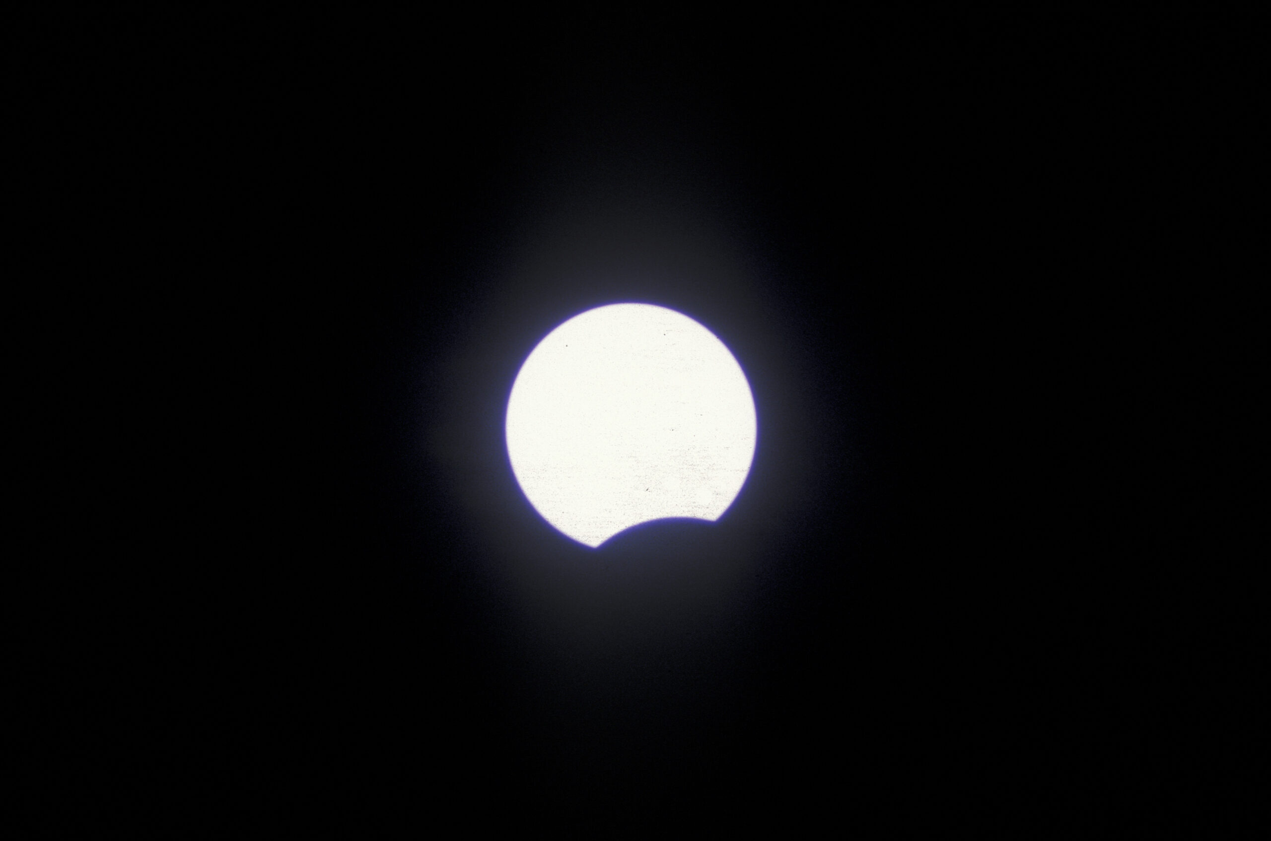
The Moon has now eaten about 25% of the Sun.

Rick Gering and Jim Windlinger with their guided mounts could be a little more relaxed, but they still had to keep tabs on the tracking; none of these devices are perfect.

Rick Gering and Jim Windlinger monitor their equipment, while Mike Treder and Pat Bush check out the projections on the sheet.

While I was fussing with my gear and shooting pictures through my scope, Sandie and others continued to shoot the eclipse image cast onto the bedsheet with binoculars with their hand-held digital cameras.

The Moon is making progress in its task of covering up the Sun, which is now about 35% obscured.
The Moon continues inexorably swallowing the Sun.
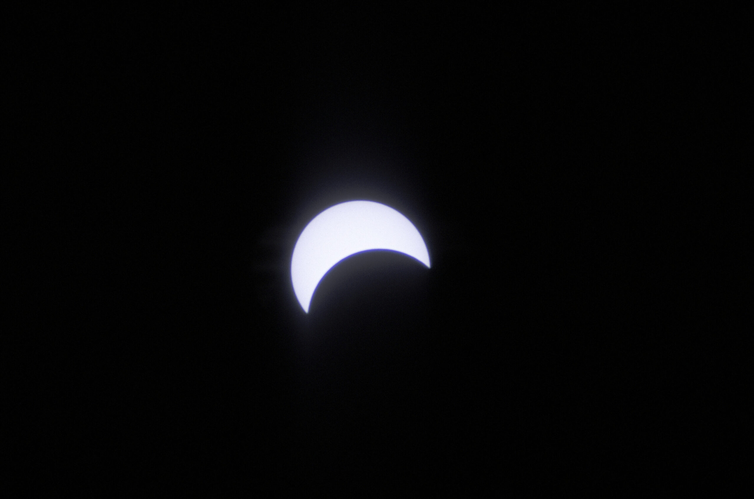
The Moon has now covered up about half the Sun’s disk.
And now at Kermanshah the gate Dark empty and the withered grass And through the twilight now the late Few travelers in the westward pass

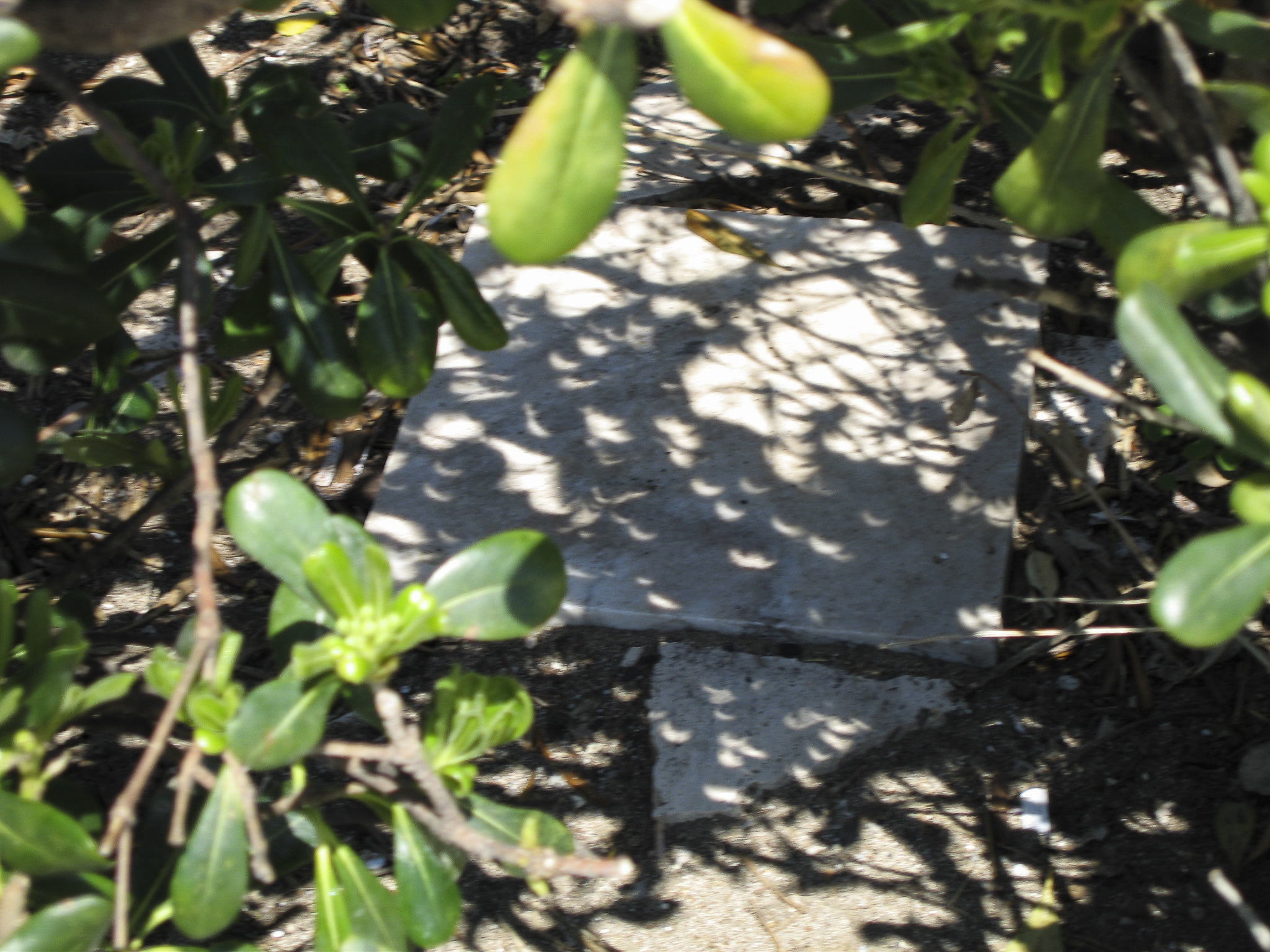
Experienced eclipse-watchers know that when the Sun’s light is filtered through foliage during the partial phases of an eclipse, it projects little crescents on the ground. Someone put a white cloth or handkerchief on the ground under a bush, and Sandie caught a shot of the little crescents with her Canon.

Someone cleverly hid a napkin or cloth square in the bushes to capture the little crescents produced by the moon-shaped sunlight being filtered through the leaves.

And the invisible Moon moves on.

Here the Moon is about 2/3 covered.
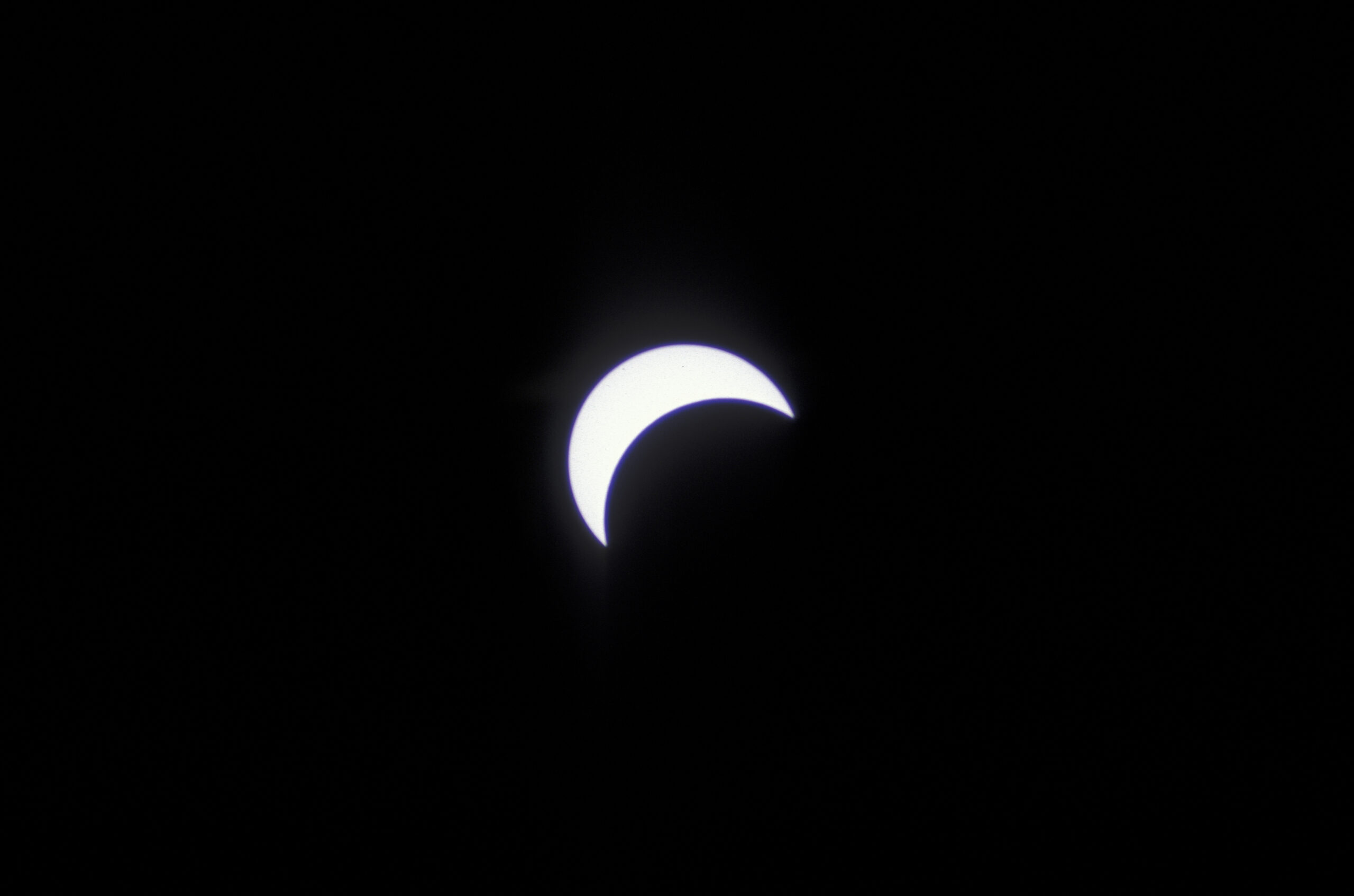
The binocular projections show us that the Sun is now about 70% covered by the Moon.
Here the solar disk is up to 75 or 80% covered.

As totality drew nearer, Chuck and Elouise Mattox concocted some cockamamie apparatus to capture its onset, while I looked on with bemused scepticism. I don’t remember whether their contraption worked or not, but I applauded them for trying.

Chuck and Elouise fuss with their Rube Goldberg apparatus while yours truly looks on and Sandie snaps the picture.

And back I went to my scope to get a few more shots on the way to totality.

The Sun is now about 80% covered.

And Sandie got another shot of the little crescents in the bushes before all went dark.

And strange at Ecbatan the trees Take leaf by leaf the evening strange…
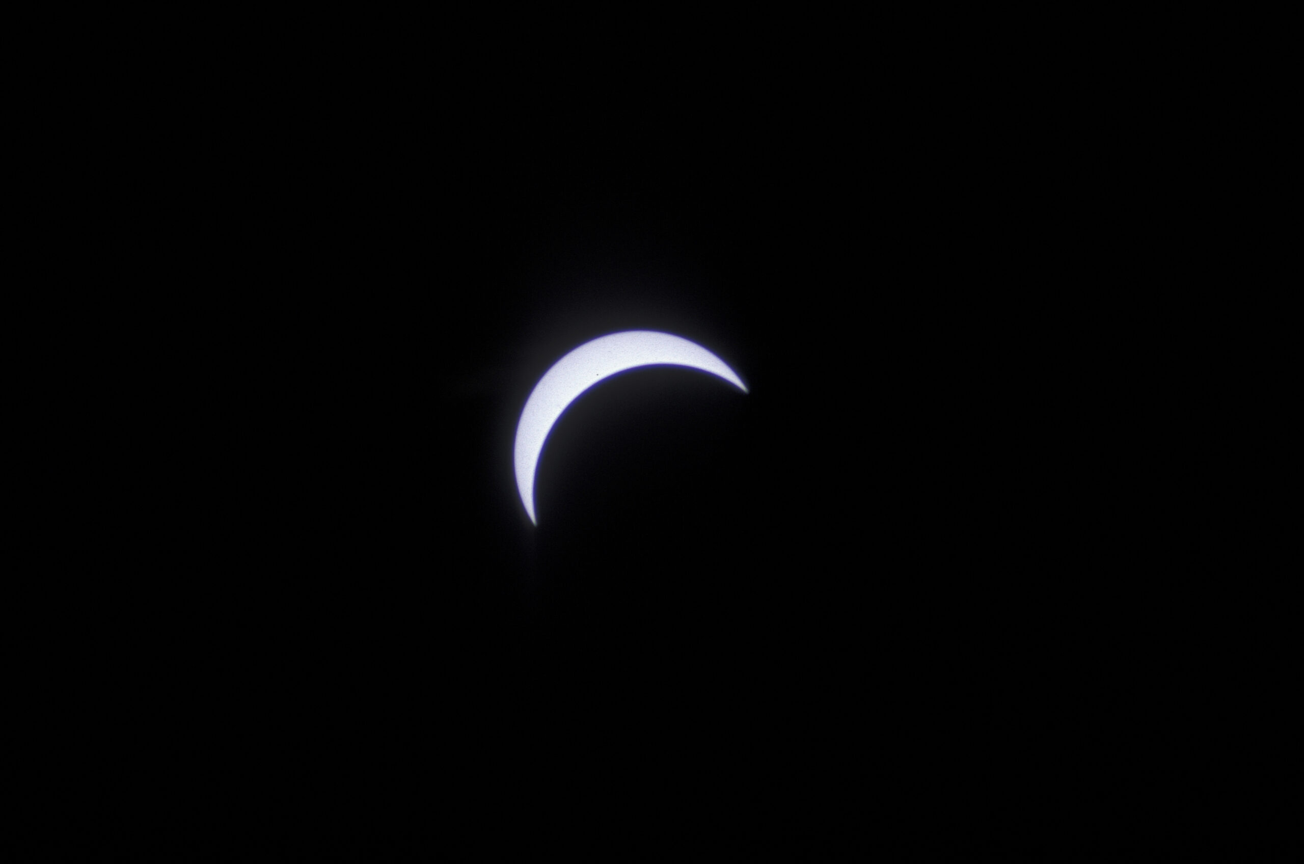
90% gone.

Just before totality, Sandie turned back toward the hotel and shot this slightly blurry picture of it. The light at this moment was so dim that she had to shoot with the camera lens wide open and use a shutter speed too slow to deal with camera shake.

Hard to tell how dark it was when Sandie shot this picture, but without a tripod there was no way to hold still enough to prevent it from blurring with the shutter speed she had to use to get anything to show up.

Until the Sun is about 80% covered in a solar eclipse, it’s hard to visually discern that anything is going on. But by this time, with only the thinnest crescent left unobscured, the darkening was obvious to all.

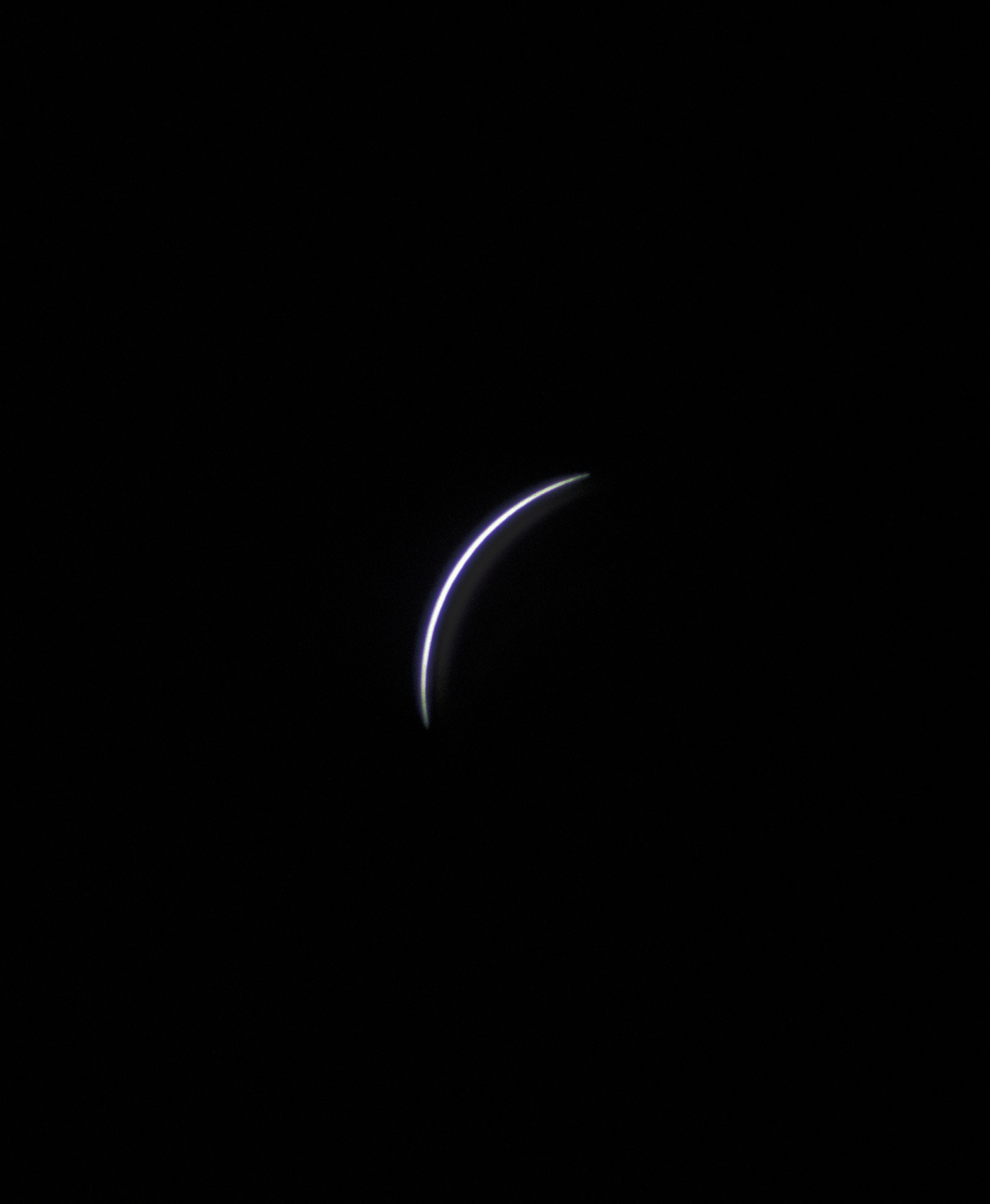
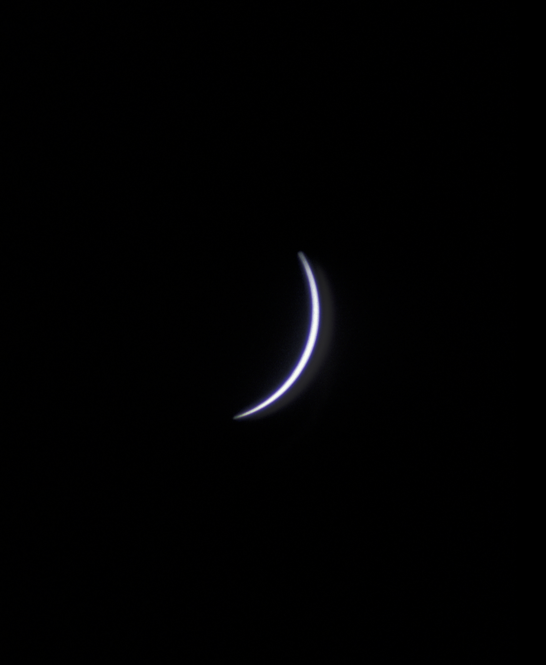
Now only a teeny sliver is left.

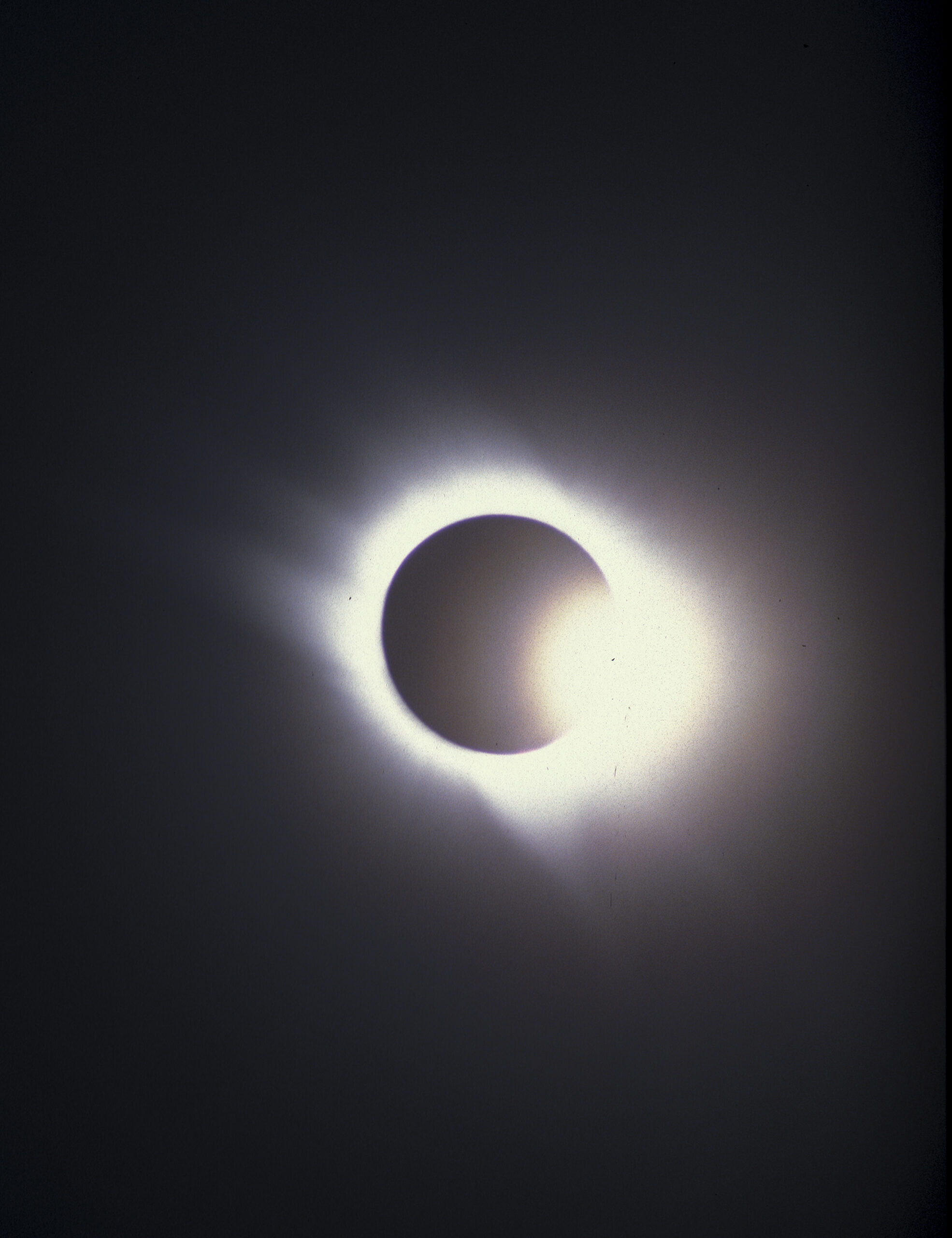
The most difficult time for a solar eclipse photographer is at third contact, the onset of totality. The trick is to judge precisely when to remove the filter, which prevents the scope and camera from being destroyed by the Sun’s brilliance, and adjust the camera to shoot without the filter. With the arrival of totality, the cutoff of direct sunlight makes it too dark to shoot at the same ISO setting used with the filter. It is every eclipse photographer’s goal to capture the so-called “diamond ring”, the bright flash at the edge that occurs right at third contact, but this requires exact timing and quick wits. Too soon and you risk blinding yourself and wreck your equipment. But if you’re too slow, you miss the diamond ring. It was particularly difficult with my film camera because I also had to advance the film after each shot. Also I wasn’t sure what ISO I had to reset to, and there was some trial and error involved. Consequently, I was too slow and miss the diamond ring at third contact.

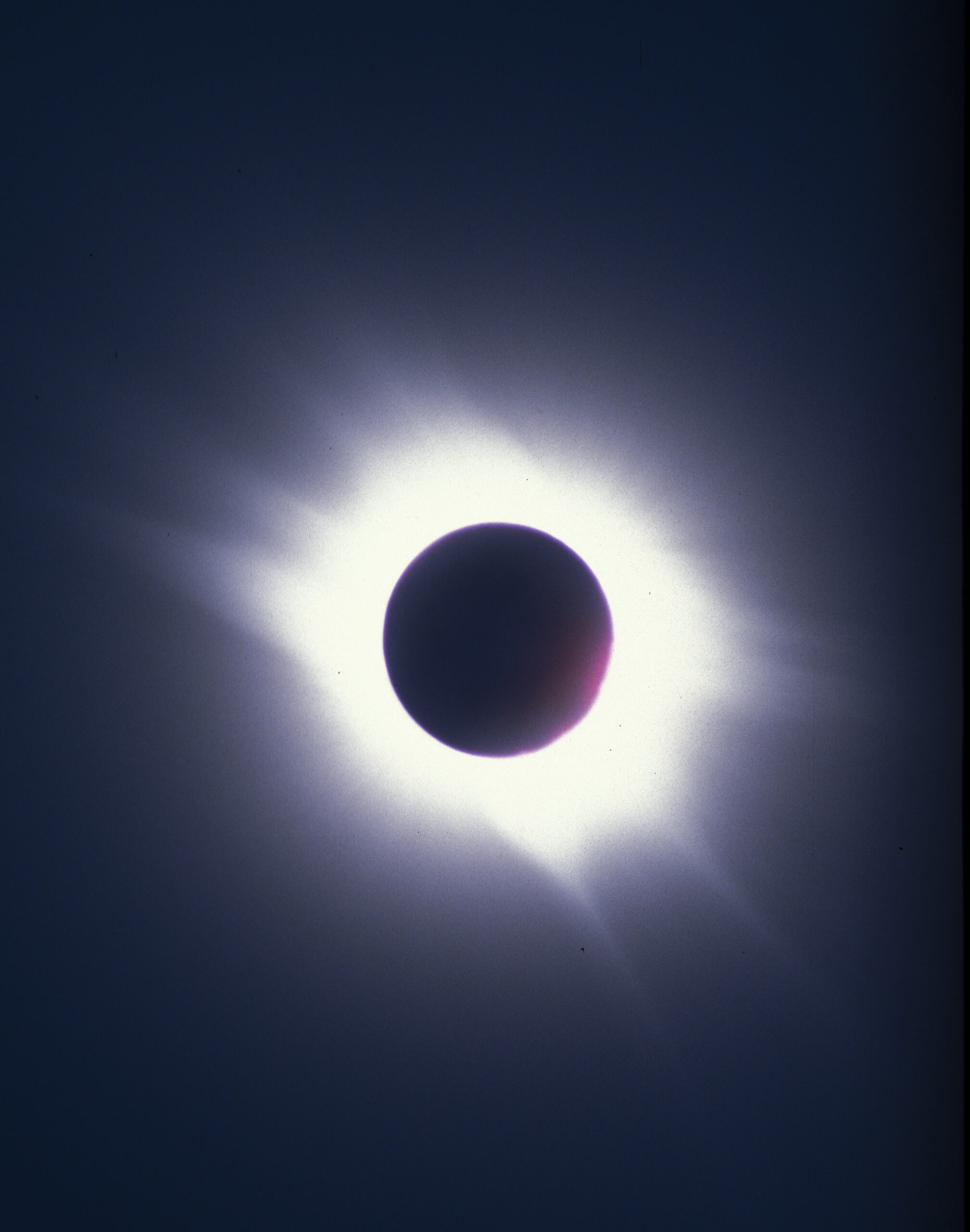
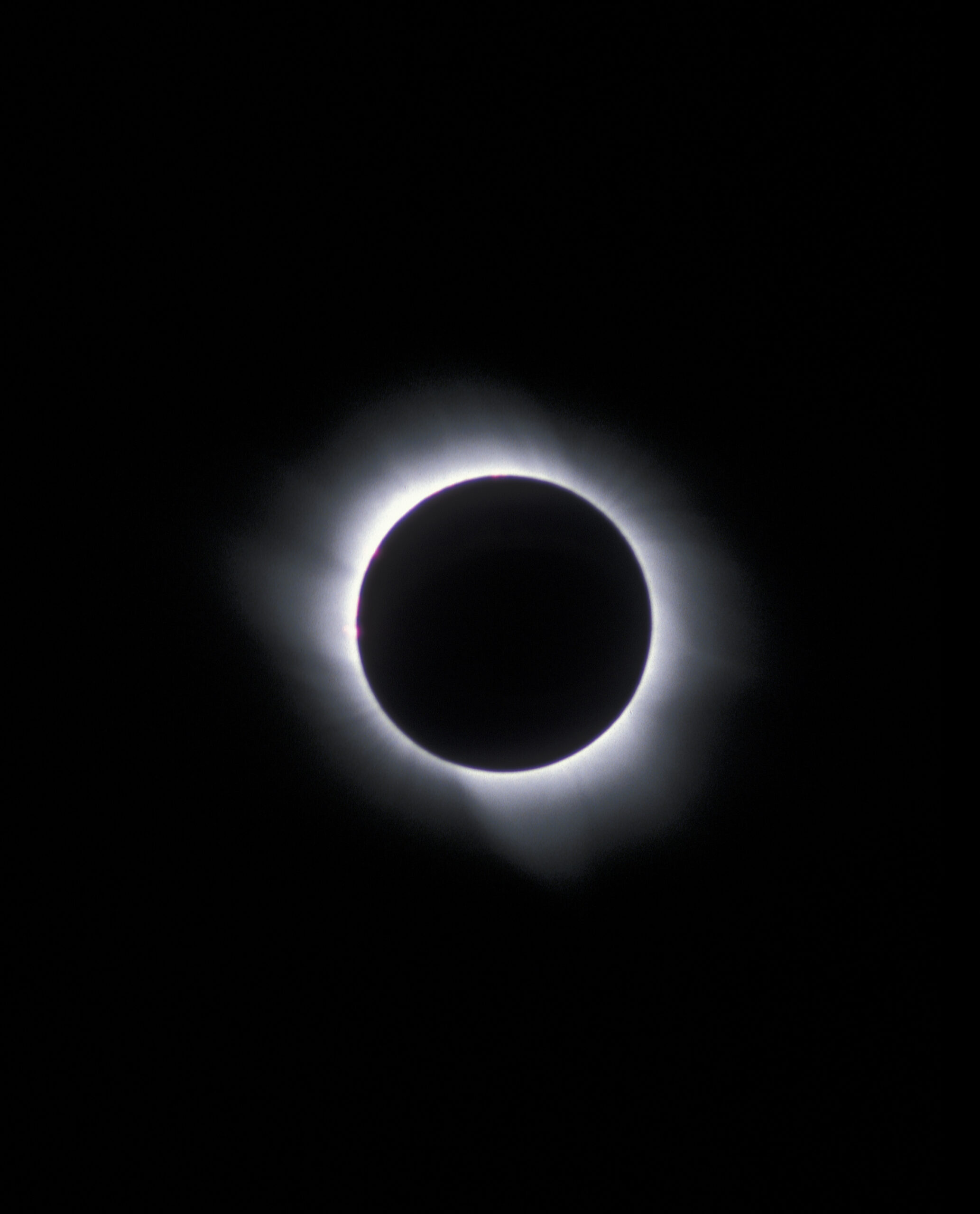
Totality.

I tried several different combinations of shutter speed and and ISO during totality. None of the results were ideal, but at least I did get some not totally abhorrent shots.

And here face downward in the sun To feel how swift how secretly The shadow of the night comes on …

Since I was shooting with a film camera, I don’t have a metadata record of the ISO settings and shutter speeds I used. I did take notes, but I’ve lost track of them.

And here face downward in the sun To feel how swift how secretly The shadow of the night comes on …

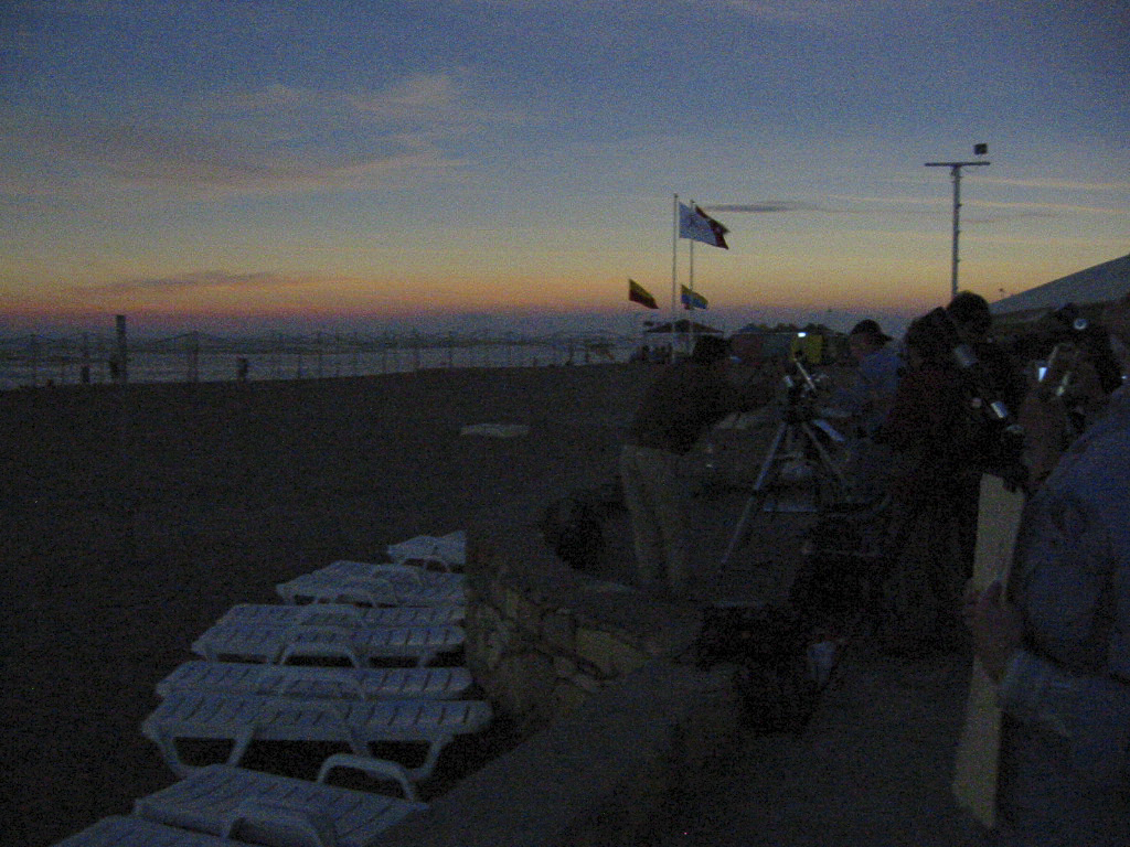
I also managed to get a ground shot with my Nikon digital camera during totality. I’ve left it as originally shot, without any manipulation on it with photo editors such as Photoshop or Lightroom, so it reproduces fairly faithfully the deep twilight we experienced during totality.

An unedited photo of the eclipse site at totality.

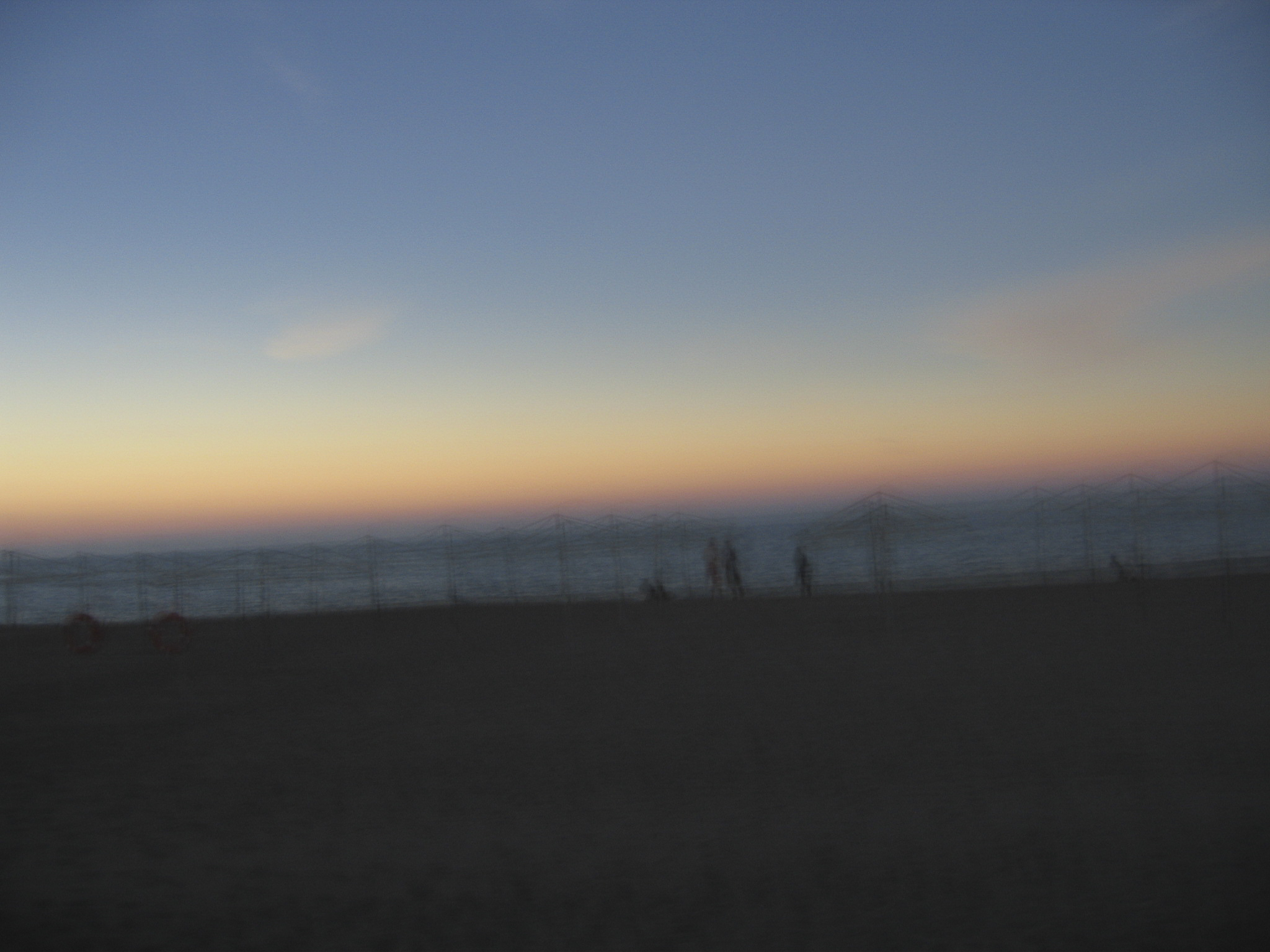
Sandie also shot a picture of the beach at totality.

Looking out over the Mediterranean at totality.

During totality I had time to hone in the camera settings, and I wasn’t in a rush to put the solar filter back on, so I was able to catch the diamond ring at third contact, as the Moon began to move off the Sun. Timing is still a bit tricky with a manual setup, and it’s not the best-ever diamond ring photo, but it was a big thrill for me to get one at all.

The Diamond Ring heralds the end of totality at 13:58:47 local time.

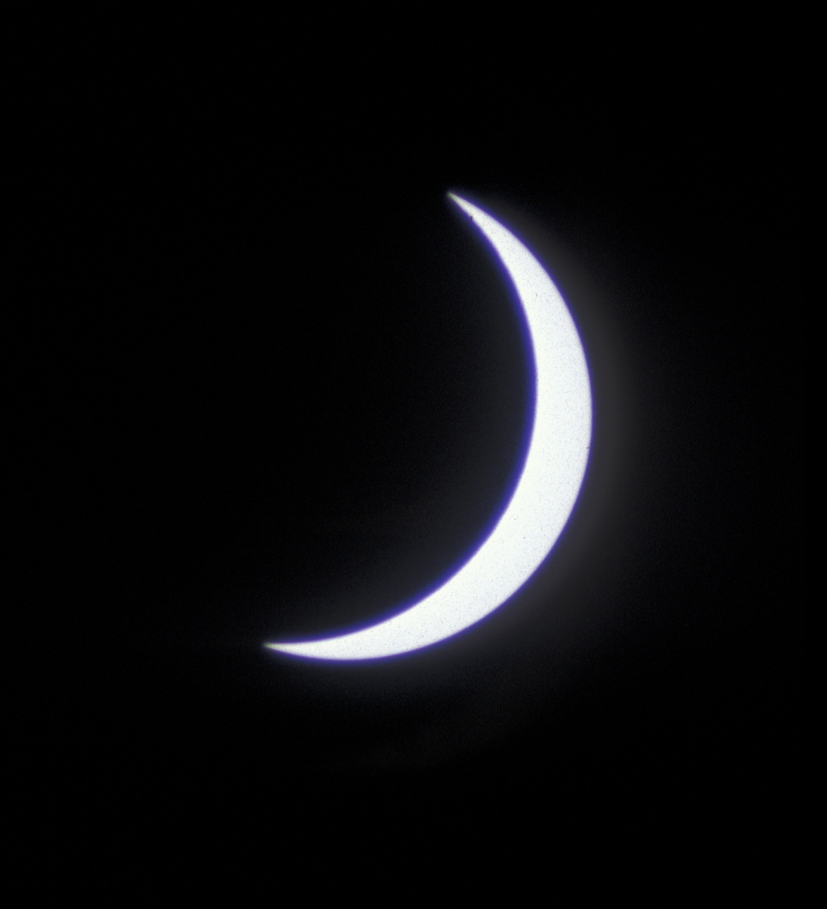
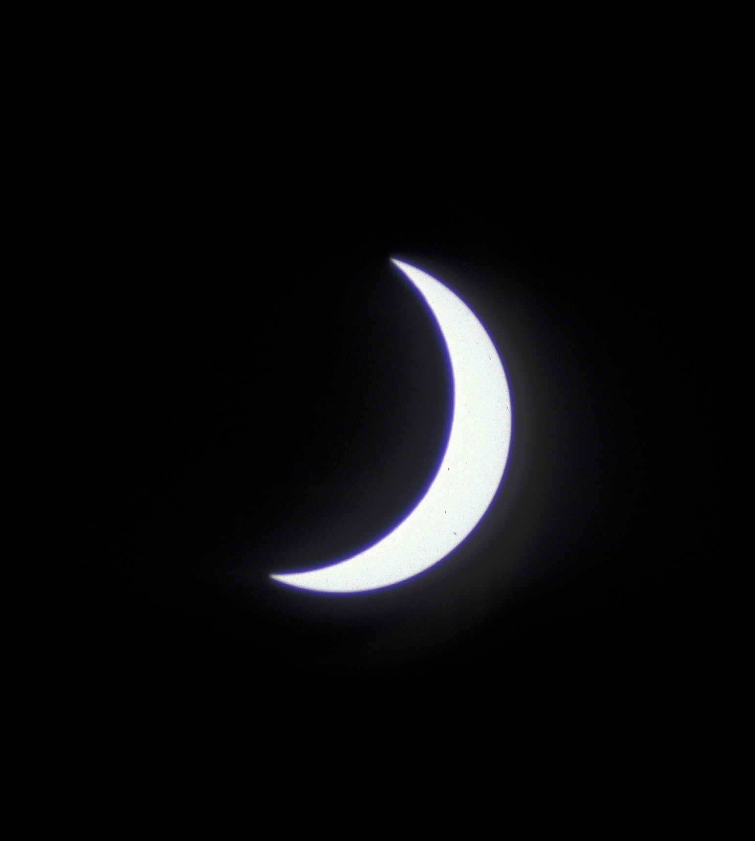
And now a sliver of light peeks out from behind the Moon as that celestial body moves heedlessly on its way. By now, of course, the solar filter is back on the front of the scope.

Shortly thereafter, it was day again, and we took its return as an opportunity to have a passerby do a shot of us on Sandie’s camera.

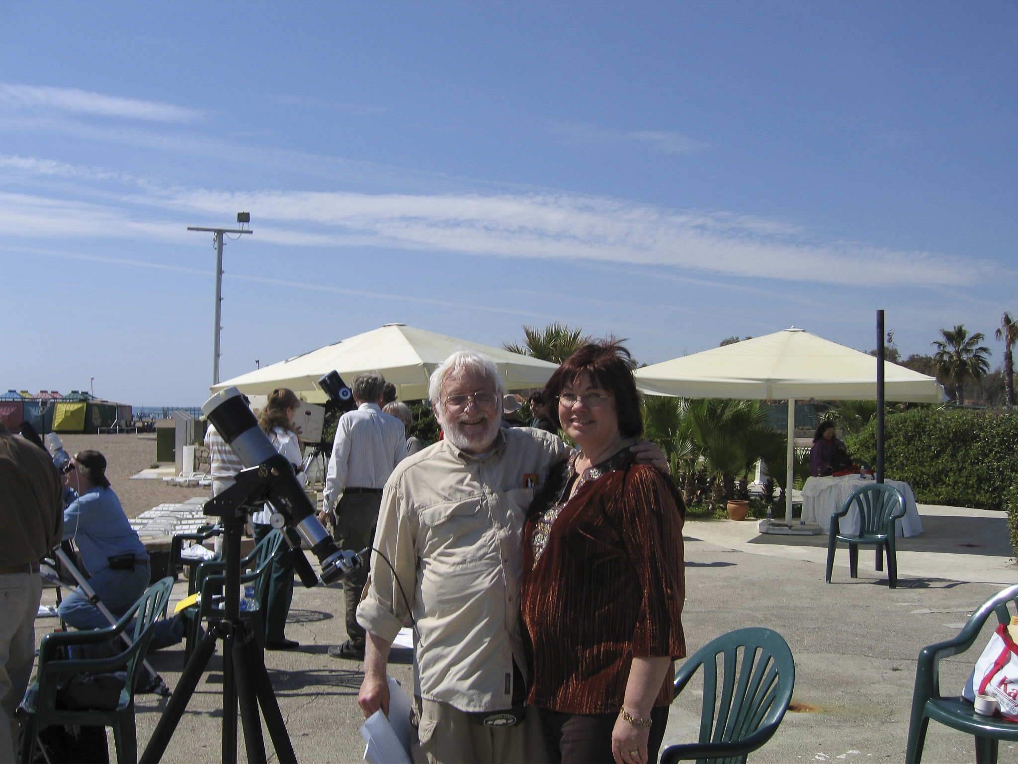
Jerry & Sandie take a break for a celebratory snapshot after third contact.

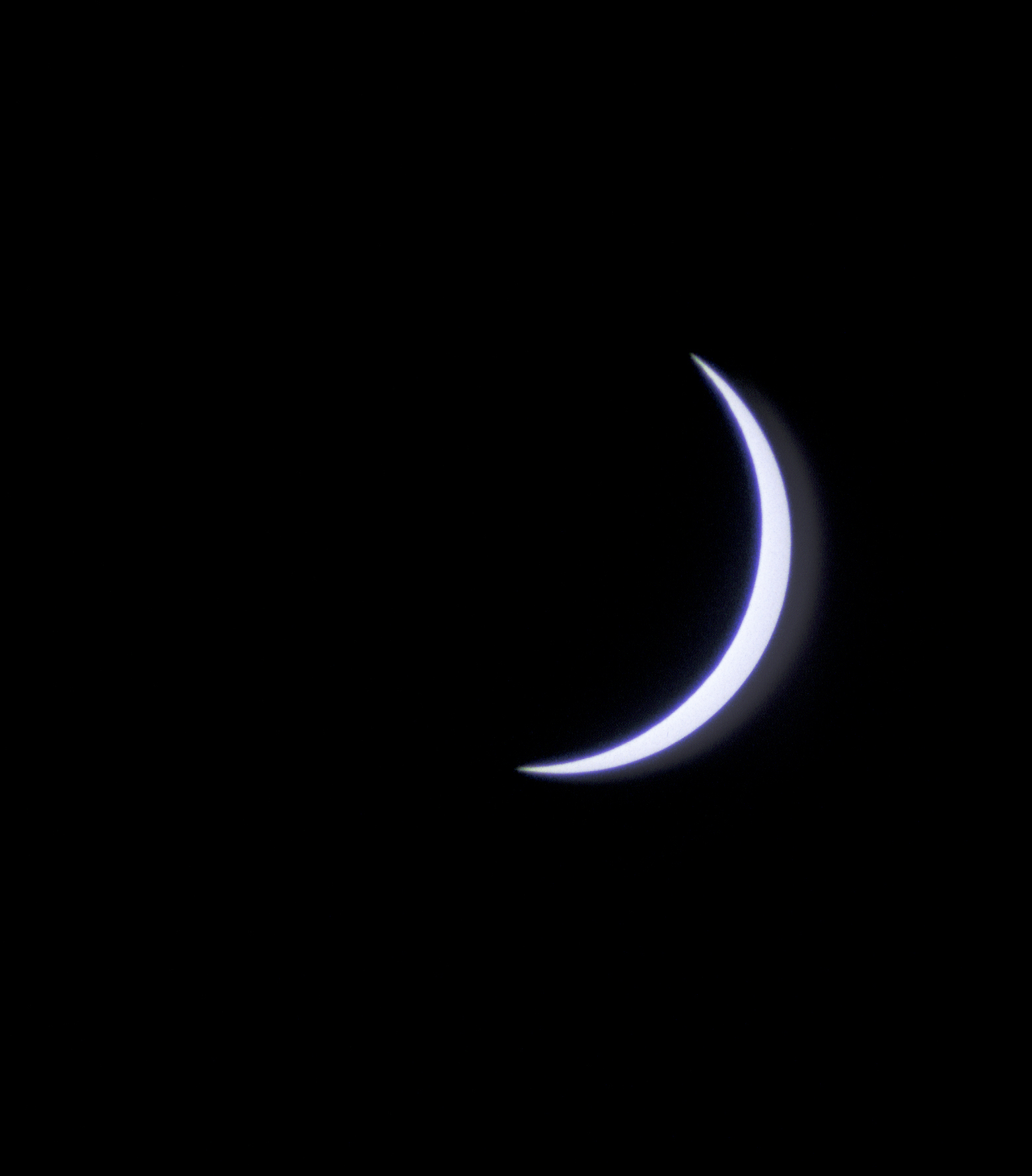
The gap betwixt the edges of the two heavenly bodies continued to widen as we began to relax after the tension and excitement of waiting for, and experiencing, totality.

People tend to regard the eclipse as over and done with as soon as third contact passes. The field rapidly became deserted as the eclipse-watchers went off to cavort on the beach or get drunk, with only diehards like Jim Windlinger and myself remaining to record the post-totality phase.

Jim Windlinger watches the crowd stream away from the observation area, even though it’s still not full daylight.

I continued shooting the waxing Sun as long as I could, but I hadn’t brought enough film to last until fourth contact, the moment when the Moon departs entirely from the face of the Sun.

At this point I ran out of film, so I didn’t make it to Fourth Contact with the post-totality images.

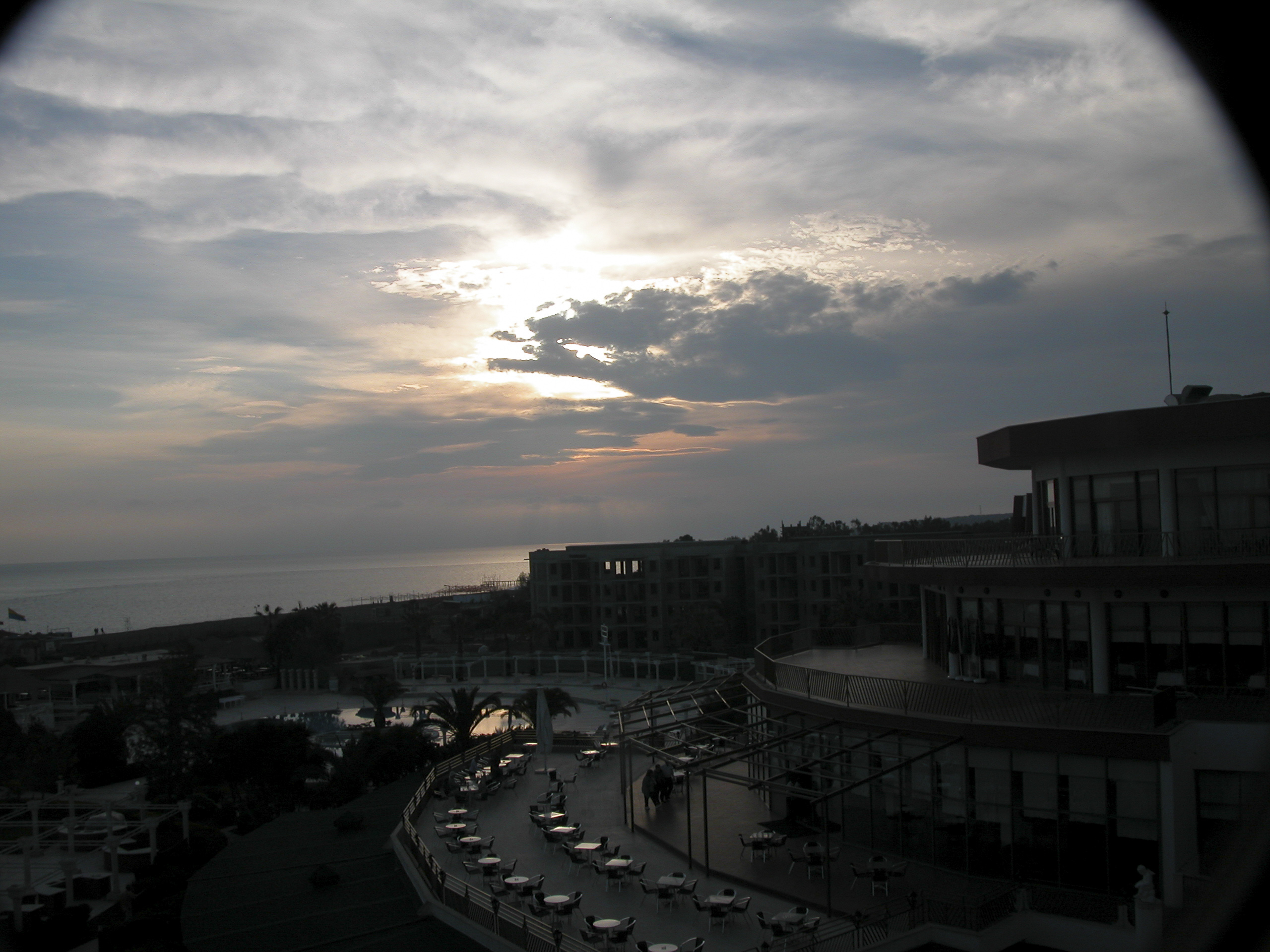
The weather gods had been kind to us that day. They had considerately waited until after fourth contact to send the clouds in, so the eclipse was not interrupted by any unwelcome meteorological events. As sunset approached, however, the clouds closed in, and the next day they covered the country all the way to Istanbul, as we would find out.

Towards sunset, the clouds, which had mercifully given us a clear sky for the entire eclipse, began to move in on our observation site.

But even though the eclipse was over, the Eclipse Day festivities were not. The Kaya Side staff had prepared for us a truly cosmic blowout, on such a scale that I have to give it a whole page of its own!

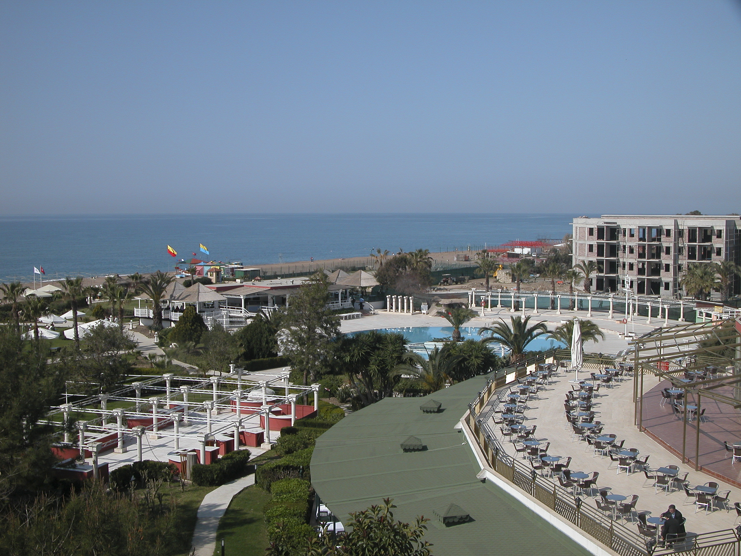
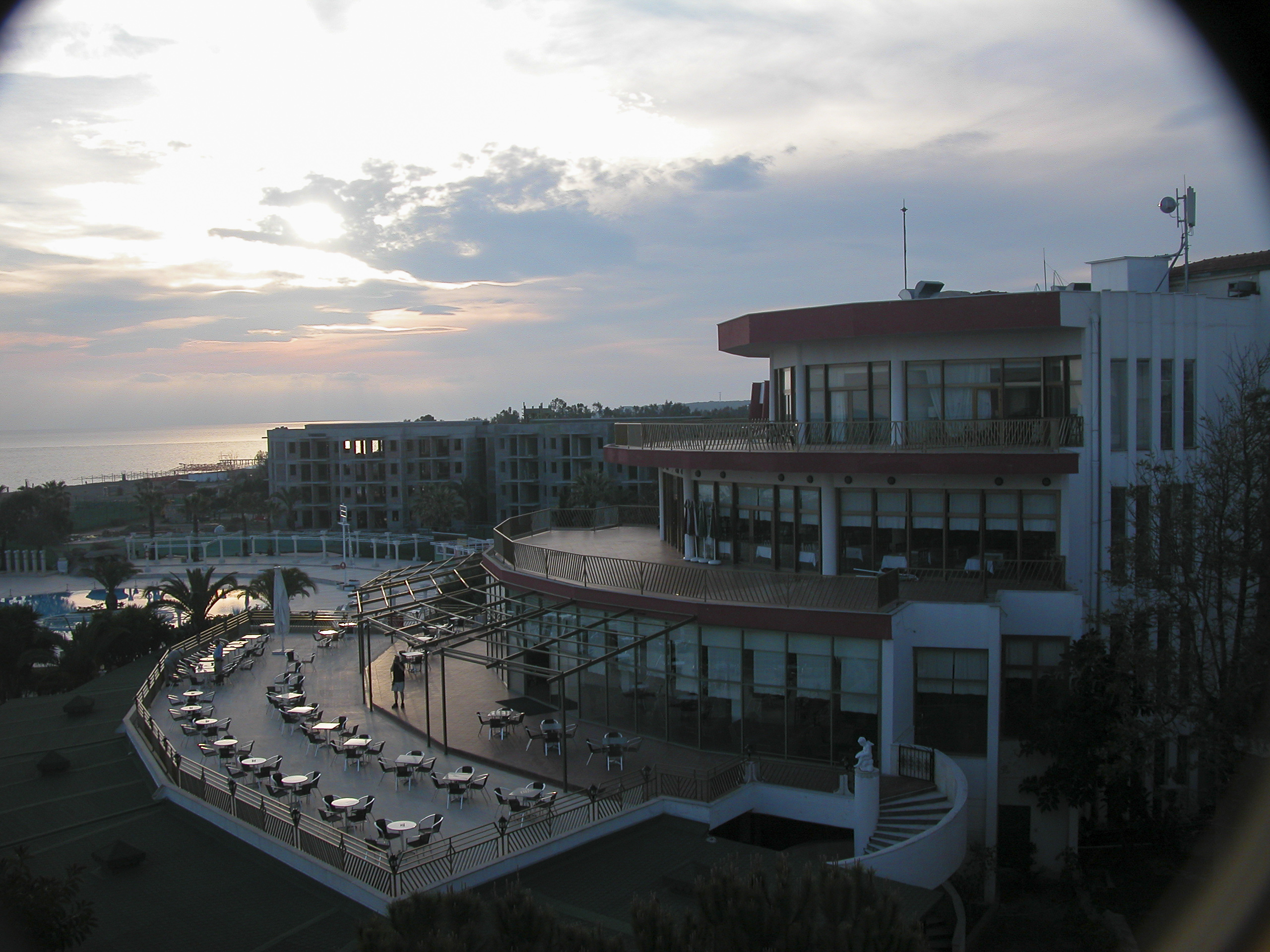
The central section of the Kaya Side, showing the dining area where we were about to enjoy an incredible post-eclipse blowout, as seen from our room in one of the wings of this enormous hotel.
Categories
Turkey, March-April 2006

Perge, March 28, 2006

Perge first came into history in Hittite times (before 1200 BCE) as Parha. Hundreds of years later, as a Pamphylian Greek city, it came under Persian rule until the conquests of Alexander the Great, and then fell under Seleucid domination. It most celebrated inhabitant was the mathematician Apollonius, a student of Archimedes, who lived there during the late third and early second centuries BCE.

Perge came under Roman rule in 188 BCE, and prospered thereafter. Proximity to the Kestros (now the Aksu) River gave it access to seaborne trade, until the silting-up of the river in late antiquity. Most of the surviving structures date from the Roman period. Perge also became an early center of Christianity; Paul the Apostle preached there, and by the 5th century CE the city had become the seat of a bishop. But it did not fare well during the Turkish invasions of the 11th century, and by 1000 CE it was abandoned.

A visit to Perge begins by entering through the Roman Gate, built in the reign of Septimius Severus (193-211 CE).

The Roman Gate

While passing through the Roman Gate, you get a view of the next portal, the much older Hellenistic Gate, which dates back to the 3rd century BC.

View of the Hellenistic Gate as seen through the opening of the Roman Gate.

I don’t know why the Romans thought the city needed another gate; the Hellenistic Gate is arguably the most imposing structure in the city and would have been a formidable bulwark, far better suited to protect the city with its twin towers and its horseshoe-shaped courtyard at the back. The towers had three floors and were crowned by a conical roof.

The Hellenistic Gate, with the Acropolis in view beyond it.

In back of the Hellenistic Gate we encountered a horseshoe-shaped courtyard, not part of the original gate, but an expanse redesigned in 121 AD by Plancia Magna, daughter of the governor and priestess of Artemis, who decorated it with inscriptions and statues to honor the emperors and their relatives.

Plancia Magna’s courtyard at the back of the Hellenistic Gate.
Another view of the imposing Hellenistic Gate.

Near the Hellenistic Gate we encountered Roman baths, a Christian Basilica, the Agora, and a great deal of scattered rubble awaiting reassembly by archaeologists.

An overview of the Hellenistic Gate, Roman Baths, Christian Basilica and Agora.

There were two sets of baths in Perge, a northern and a southern. Google Maps misidentifies a large structure northwest of the Hellenistic Gate as a 6th-century Byzantine basilica, but this was actually the Southern Baths, seen in the picture below. According to the text on a sign posted nearby, “These were Pamphylia’s largest and most magnificent baths. The people of Perge, after performing their physical exercises in the large palaestra, which was surrounded by porticos, rid themselves of their sweat in a cold pool and then entered the Frigidarium. From the architectural embellishments and statues revealed by excavations, this was obviously an outstanding structure. Subsequently the public went on to the Tepidarium and Caldarium, which were interconnected. The brick props used in the hypocaust system through which hot water was transmitted to these sections can be seen.” From what I know about ancient Roman baths, this has it partially backwards. The standard routine was to begin with the Tepidarium, which contained no water, but was merely a heated room where the warm air prepared one for the hot baths to come, and, upon returning, for the transition back to the cold air outside. (It was not a sauna, the ancient Roman counterpart of which was in a separate room called a laconicum.) The Tepidarium might also double as a place for undressing, or this might be relegated to another room called an apodyterium. From the Tepidarium, one proceeded to the Caldarium, the actual hot bath, then finally to the Frigidarium, which was a cold bath intended to close one’s pores in preparation for the return to the frigid air outside. Of course, practices varied among different provinces within the Roman Empire, and even among different establishments in the same area, but it seems more logical to take the cold bath last.

The Southern Baths.

The on-site description continues, “It is said that in antiquity the public used the baths for both enjoyment and holding discussions. A fee was paid upon entry and the baths were used by women in the morning and men in the afternoon.” Some Roman baths, such as those in Pompeii, had separate facilities for men and women; but it has been noted that in Rome itself mixed bathing was common by the first century CE. One may doubt whether this was the case in the provinces, though.

Pictured below is a section of the southern baths. A “hypocaust” is a hollow space under the floor of an ancient Roman building, into which hot air was sent for heating a room or bath.

A section of the Southern Baths near the Hellenistic Gate.

To the east of the Hellenistic Gate lies the Perge Agora. This a square area, dating from the 4th century CE, 65 meters on a side, surrounded by a stoa, a colonnaded portico with a covered walkway. It was in fact an ancient shopping mall, where the inhabitants could purchase all kinds of goods.

A covered walkway called a stoa surrounded the central courtyard and shops of the Agora.

Looking north down the east side of the Agora afforded a view of the Acropolis, which dominates the northern part of the city. Traces of human habitation dating back to the Bronze Age (3300-1200 BCE) have been found there, but the structures visible today all are relics of late Roman or Byzantine times.

Looking down the stoa on the east side of the Agora toward the Acropolis, with Byzantine-era ruins on top of it.

Systematic excavations of Perge began in 1946, led by Professor Arif Müfid Mansel, under the auspices of the Turkish Historical Society, and have been continued by his successors down to the present.

Corinthian columns supporting a corner of the stoa.

In the middle of the Perge Agora stands a large stone ring. I called it the “Perge Henge” because it reminded me of Stonehenge in England (which I’ve never visited). There were no signs or inscriptions to indicate its purpose, and for years I wasn’t able to find out anything more about it online. I speculated that it might be a pool into which virgins were thrown as a sacrifice to the gods, as in the ancient Mayan cities. However, recently I came across an article on the internet according to which the ring structure is now believed (presumably by archaeologists) to have contained a fountain.

Ringlike structure of unknown purpose in the middle of the Agora.

Greco-Roman cities of this period were adorned with fine tile and splendid mosaics. I thought this elegant tile might have fallen from a ceiling that collapsed.

I don’t know what this tile was originally part of – perhaps it’s a fallen ceiling tile.

This marble tile at ground level on the side of a building fascinated me. If you look closely you can see a serpentlike figure and a knife carved in relief in the center. It shows up better in the next picture.

This marble tile with its carving of a knife and snake or eel likely identified a restaurant.

I don’t know whether the people of ancient Pamphylia ate snakes (people in southern China today consider them a great delicacy, and the more poisonous the tastier), but this could also be an eel, which they would certainly have eaten. So this is clearly a sign identifying a restaurant.

The ancient equivalent of “Eat at Joe’s.”

Perge occupies a very large area. It has a well-preserved theater and stadium, but these are somewhat removed from the main part of the city, and we skipped them since we had already seen the best-preserved theater at Aspendos and the most imposing stadium at Aphrodisia. At Perge the Agora, the Nymphaeum, the Baths and the main boulevard with its waterway were the focus of attention.

The Agora hosted many shops and offices, of which only the doorways now remain.

In one of the stoa shop doorways we encountered a couple of pirates who wanted to kidnap Sandie and sell her into a harem, but we managed to escape their clutches.

Cherie and Michelle, framed by a doorway at the Agora.

The main north-south street of Perge, called the Sütunlu Cadde in Turkish, extends 300 meters from the city gates to the foot of the Acropolis. In the middle ran a channel which supplied water to the fountains and baths. The city also had an underground sewer system, and many private houses also had indoor plumbing.

The main street of Perge is actually a divided highway, with a 2-meter-wide water channel running down the middle.

The water distribution system was quite sophisticated for its time. In the channels weirs (dams) had been built to regulate the flow of water and keep the level even.

Weirs were built into the channel to regulate the flow of water and keep the level even.

While strolling up the main drag I encountered a column decorated with two human figures in relief, a male near the base (shown in the next picture) and a female higher up. There was no sign or inscription to identify the figures. I speculated that the lower one might be a city official offering a sacrifice to Artemis, patron goddess of Perge. But the same source that purported to identify the ringed structure in the Agora as a fountain also asserted that it might be Calchas, one of the mythical founders of Perge.

It took three shots to capture this column in adequate detail. This is the section nearest the base.

There was never any question about the identity of the female figure – it was clearly the goddess Artemis: she holds a bow, one of her identifying symbols; Perge was devoted to her worship and was famous as one of her chief shrines; and her image was stamped on coins minted in Perge.

It was obvious, on the basis of the bow in her hand, that the figure depicted here is the Greek goddess Artemis the Huntress.

I could not capture Calchas and Artemis in sufficient detail in one frame, so I had to shoot the column in segments.

This view of the column somewhat overlaps with the previous shot; I wanted to capture the capital and the figure of Artemis in one picture.

Proceeding up the main drag, we headed for the Nymphaeum, the northern terminus of our exploration of the city, nestled at the foot of the Acropolis. The structure on the left in the photo below is probably the Palaestra, associated with the Northern Baths.

The Acropolis looms above the ruins of the old city, as our tour group proceeds past a lone vendor toward the Nymphaeum (out of sight in this picture).

A palaestra could be a wrestling school, gymnasium or simply an exercise area, depending on local practice. It could be either a building or simply an open courtyard. In this case, it seems to have been a building constructed from travertine, but I’m not entirely sure, because the source I’m relying on also says that it was an open courtyard surrounded by changing rooms. The same source (Turkish Archaeological News) says that the palaestra was dedicated to Emperor Claudius by Gaius Julius Cornutus Tertullus, the husband of Magna Plancia. It’s hard to imagine a less athletic person than Claudius, and it’s unlikely that Plancia’s husband would have dedicated anything to Claudius, who reigned from 41 to 54 CE, whereas Plancia Magna and her husband were active much later, in the early second century. (They would not even have been born when Claudius was alive.) Plancia Magna made her important contributions to Perge mainly during the reign of the Emperor Hadrian, who reigned from 117 to 138, and her husband would likely have dedicated the palaestra to him – it was the custom to dedicate newly-constructed landmarks to the reigning emperor. Anyway, other sources say that the palaestra dated from 50 BC and was built by Gaius Julius Cornutus Bryonianus, who was probably the father of Plancia’s husband, and dedicated to Emperor Claudius by him. Bryonianus was a Roman senator and native of Perge.

The Palaestra, seen here next to the Northern Baths. The trash can was not part of the original decor but was a 6th-century addition. (I hope you didn’t believe that.)

The Acropolis loomed above as we neared the northern end of the main drag.

Pam Bloxham and Cherie Rabideaux inspect the remains of storefronts en route to the Nymphaeum, close to the Acropolis.

Near the Nymphaeum we encountered a drawing of how it was supossed to look, and did look, when it was built. Water was piped into it from hillside springs and flowed from underneath the reclining statue of Kestros in the center into the canal that ran downhill to the city gates.

The Nymphaeum as originally constructed.

Perge is located near the Aksu River, which in ancient times was known as the Kestros, which was also the name of its god. The Nymphaeum building is known as Hadrian’s Nymphaeium, but it was dedicated to Artemis of Perge, the Emperor Septimius Severus, his wife and his sons.

The statue in the arched window, however, represents not Hadrian or Septimius Severus or Artemis of Perge, but Kestros the River God – or so I’m told, since I wouldn’t be able to tell Kestros from Bacchus, especially without a head. So whose shrine is it?

The Nymphaeum was a monumental fountain, built in the second century AD, at the end of the colonnaded main street by the Acropolis.

As can be seen from the photos, since it was built the Nymphaeum has lost its second story, arches of the first-floor windows, the perpendicular side wings, the columns, and most of the statuary. Not only that, but the Nymphaeum should have nymphs. Where were they? It turned out that they were on their way.

A nymph on her way to the Nymphaeum.

When they arrived at the Nymphaeum, however, Sandie, Pam and Cherie found that a horde of savage barbarians had burst onto the site and were intent on pillaging the treasures it contained.

Savage heathens from the north approach the sacred shrine of the river god Kestros, with sinister intentions of plundering the gold and jewels which obviously must be hidden therein.

It turned out that the infidels were too late; other barbarians had been there first, and had spirited away the best of the treasures, including the two statues of Hadrian which had stood in the alcoves between the statue of Kestros, to the Archaeological Museum in Antalya.

A close-up of some of the stonework in front of the fountain.

Other barbarians had removed the head of Kestros the River God, as well as anything else worth taking.

An uncouth barbarian celebrates his triumphant and sacrilegious intrusion into the hallowed precincts of the Nymphaeum, as one of his fellow-malefactors looks on approvingly. (At least he didn’t damage any of the artifacts; previous barbarians had done that.)

Meanwhile, Sandie climbed halfway up the Acropolis above the Nymphaeum to get a fabulous panorama shot of the entire city of Perge.

Sandie climbed up the hill above the Nymphaeum to get this stunning overview of the ancient city of Perge.

From the Nymphaeum window above the statue of Kestros I took a picture of the main street and its waterway.

A view of the water viaduct from the central window of the Nymphaeum. Water flowed into it from beneath the statue of Kestros.

Somewhere along the way we stumbled across this placard imploring visitors in Turkish and English not to behave like barbarians.

Another fun example of what happens when you fail to get a native speaker to proofread your signs.

As I wended my way back from the Nymphaeum, I snapped this view of the avenue by which we had come up.

A view from up by the Nymphaeum, down the main street back toward the Hellenistic Gate.

Heading back to the gate, I passed a trio of fellow infidels, who, having pillaged the ancienty city, lounged nonchalantly among the ruins.

A trio of barbarians catch a break from plundering to take their ease in the ruins of ancient Perge.

Categories
Turkey, March-April 2006

Kurşunlu Park, March 28, 2006

From Aspendos our tour group went almost all the way back to Antalya. Our destination was Perge, another ancient city of Pamphylia, but first we stopped for a picnic lunch and rest break at nearby Kurşunlu Waterfall Nature Park. This was a beautiful, peaceful place in the middle of a pine forest with a small tributary of the Aksu River running through it.

At the entrance to the park there was a mill with a waterwheel. The mill didn’t say when it was built; I would guess not more than a couple of centuries ago, but water wheels have been in use for grinding grain since Roman times.

The old mill with its waterwheel.

Attila had thoughtfully brought along picnic lunches, and we settled down at a picnic table to enjoy the meal, while Chuck and Elouise Mattox snapped pictures of the group.

We took a break in a busy day of sightseeing to enjoy a relaxing lunch in Kursunlu Waterfall Nature Park.

But we soon found that the park was beset with predators. A pack of hungry cats prepared to launch a raid on our picnic table.

A group of hungry cats prepares to launch a raid on our picnic table.

Chuck and Elouise headed off the attack and saved our lunch by selflessly sacrificing their own.

Chuck and Elouise save the group from the feline onslaught by generously and selflessly sacrificing their own sustenance.

Meanwhile, Sandie sacked out under a nearby tree and ignored the battle with the cats entirely.

Sandie found a spot where she could cat-nap while finishing her lunch.

After lunch we strolled to the falls. Along the way we encountered the sign pictured below. I didn’t know what a geziyolu was at the time (I later found out it means “roadway”), but I assumed that steig was the German word meaning climb, so that the geziyolu, whatever it was, was a climb of 5 km away. In any case, we never made it that far. The sign below it was also a puzzle. I didn’t know what border we might be approaching, let alone what “strinking” meant, so I didn’t know what to avoid.

Despite not knowing what “strinking” meant, or what border might prove dangerous, we escaped without any dire consequences. But we never made it to the geziyolu.

We did shortly arrive at the falls, where another sign announced that picnicking was forbidden there. But since we had already had our lunch, that didn’t bother us.

Having a picnic here by the waterside was a no-no.

The waterfall emptied into a beautiful blue-green pool with lush vegetation growing all round – an idyllic scene.

The waterfall emptied into a beautiful blue-green pool with lush vegetation growing all round – an idyllic scene.

The waterfall was a photographer’s dream, and it was nearly impossible to take a bad picture here.

It was hard to take a bad picture here.

The boughs of an old tree framed a perfect shot of Sandie with the waterfall as a backdrop.

The bizarrely twisted and gnarled trees made a perfect frame for this scene.

Spring had barely arrived in Anatolia, and we were fortunate to encounter some of the early flowers blooming in Kurşunlu Park.

Flowers blooming on trees near the waterfall.

I have no idea what species these flowers belong to – I’d welcome help in identifying them.

Anyone know what kind of flowers we have here?

This day, the 28th of March, was Sandie’s and my fourth wedding anniversary, and Kurşunlu Park made an ideal setting for an anniversary snapshot of us.

Next stop: Perge.

At the exit from Kurşunlu Park, a camel ride was offered. It turned out that the “ride” consisted of sitting on the camel, which remained motionless on the ground, and having your picture taken, for a fee of 3 euros. We declined the offer; we would have to wait until 2017, when we went to Morocco, to take a real camel ride.

Motionless camel rides.
Categories
Turkey, March-April 2006

Aspendos, March 28, 2006

Following our exploration of Side, we took a bus ride to Aspendos, which lies about halfway between Side and Antalya.

Aspendos is situated on the banks of the Eurymedon River, which in antiquity was navigable up as far as Aspendos itself; hence the city grew up as an important trading port even though it was located 16 kilometers from the Mediterranean seacoast, and it grew wealthy from trade in salt, olive oil and wool. Its political clout did not match its economic weight, and it tended to come under the domination of other Pamphylian powers, such as Perge, and later the Persians, Greeks, and eventually Romans. For centuries control of the city seesawed between Greeks, Persians, etc., yet Aspendos generally enjoyed considerable autonomy, even minting its own coins. On the one occasion when Aspendos did try to assert its independence, it unwisely chose Alexander the Great against whom to do so. At first the Aspendians submitted to Alexander, who agreed not to station a garrison there as long as the city paid him the same taxes as it had to the Persians. As soon as Alexander left for Side, however, they reneged on the agreement and prepared to rebel. Alexander immediately swooped back down on Aspendos and exacted swift retribution, imposing much harsher terms and exactions than before.

Eventually, in 190 BCE, hegemony passed to the Romans. Later, in the first century BCE, it came under the authority of the notorious Roman official Gaius Verres, who plundered its art treasures. Verres was eventually prosecuted by the great Roman orator and statesman Marcus Tullius Cicero, who obtained his conviction. Verres was punished by exile, but Aspendos didn’t get its artwork back.

As time went on the Eurymedon River silted up and became unnavigable, undermining the prosperity of Aspendos and relegating it to languish in medieval times as a small provincial town.

Aspendos is noted above all for its imposing theater, which claims to be the best-preserved ancient theater in the world.

Aspendos has other attractions too, though. One of them is the bridge over the Eurymedon River, originally built in Roman times and rebuilt by the Seljuk Turks in the 13th century CE.

The Eurymedon River bridge. You have to look closely to note the zigzag feature at the island in the middle of the river.

The most striking feature of the Aspendos bridge is its zigzag course. It was apparently rebuilt this way because the original piers, which the Seljuks used in the reconstruction of the bridge, had become displaced from their original locations by ground movements, especially earthquakes.

The zigzag is more easily seen in this photo, on the right.

The remains of the Roman aqueduct are also quite impressive. It is believed to have been built in the 3rd century CE, and it brought water from springs in the hills to the north, 19 kilometers away.

A segment of the old Roman aqueduct, 15 kilometers of which remain standing.

We strolled along the banks of a modern-day irrigation canal to shoot pictures of the aqueduct and the other ruins.

Sandie strolls along the road by the aqueduct looking for likely photo vistas.

The aqueduct seems to have had a working life of only about 150 years, and its demise, probably caused by earthquakes, seems to have coincided with the general downturn in the city’s fortunes toward the end of the Roman period. I would guess that the loss of its commerce-derived wealth, owing to the silting up of the Eurymedon, also deprived it of the income needed to repair and maintain the aqueduct. However, aqueduct dysfunction was not a problem unique to Aspendos; it was a general trend throughout the Roman world in the fifth century CE, under the pressure of Persian invasions from the east and onslaughts of various barbarians from the north, with consequent fiscal crises that strained government resources and required diversion of public funds to defense expenditures. Aqueducts and baths were expensive and required frequent repair. Christian ascetics and other religious authorities tended to frown on frequent bathing as an unnecessary luxury and a license for sexual promiscuity. People did not stop bathing in the Middle Ages – far from it, contrary to the conventional view – but it became a less frequent activity.

The Romans built their aqueducts to last, but they weren’t earthquake-proof.

After being piped down from the hills to the north of the city, the water had to cross a low, flat, depressed valley and then flow uphill to the Aspendos Acropolis, 60 meters above sea level. This was accomplished with the aid of a structure called an inverted siphon, which stretched for 1670 meters between two towers, one of which appears in the photo below. The two towers are 30 meters high; they were originally higher.

The northern tower, anchoring the final section of the Aspendos Aqueduct.

The siphon channel brought the water up to the south tower, where it took a 55-degree turn and then climbed to a header tank at the top of the Acropolis, from which the water was distributed to the fountains and baths of the city.

The south end of the aqueduct was anchored by another tower, whence it continued to a header tank at the top of the Aspendos Acropolis.

On the Acropolis stand the remains of a basilica, bouleterion (town hall), nymphaeum (fountain shrine) and agora.

Segments of the aqueduct frame the ruins of the city of Aspendos atop the Acropolis.

Archaeologists have determined that the zigzag bridge over the Eurymedon River is partly built of perforated limestone blocks pillaged from the inverted siphon of the Aspendos aqueduct; thus the blocks were used either to build the original bridge or by the Seljuks to repair it, or both.

The remains of the ancient basilica crown the Acropolis.
Sandie adjusts her trusty Canon Powershot SD500 as we prepare to enter the dark tunnel into the theater.

The crown jewel of Aspendos is, of course, the Theater, which in traditional Greek fashion is partially built into the Acropolis, a design providing support for the seating area as well as savings on materials and labor.

A view of the Aspendos Theater across the parking lot.

The Theater was built around 155 CE; the architect was Zenon, a Greek and a native of Aspendos. For a town of 20,000 people, the Theater was a colossal structure, measuring 96 meters (315 feet) in diameter, and it probably seated most of the city’s population.

Pat Bush photographs the exterior of the city’s prime attraction, the best-preserved of all the ancient Greco-Roman theaters.

Entry to the Theater was provided by low, narrow, dark tunnels like this one.

One of a number of passages leading to the seating area.

The entry passageway opened into the stage area, which was brightly lit by the sun. A sloping wooden ceiling originally covered the area, but it has not survived the ravages of time.

Emerging from the tunnel into the brightly sunlit stage area.

There was an entry passage on either side of the stage, with another in the center of the stage. I’m not sure what the narrow rectangular opening above the vaulted entrance led to; I’m thinking maybe rest rooms, but I haven’t been able to find out anything about it.

One of the side entrances, our access to the theater.

As she emerged from the entrance portal, Sandie got a lucky shot of an illustrious scholar and explorer, whom she had previously encountered in Side, and who now happened to be visiting Aspendos.

Another sighting of the intrepid explorer.

The theater was famous for its exquisite architectural ornamentation as well as its splendid acoustics. 

Intricate stone carvings grace the walls of the theater.

The towering walls had withstood the ravages of time and earthquakes amazingly well. Some of the credit is due to the Seljuk Turks, who in medieval times used the Theater as a caravanserai, and made extensive repairs for this purpose in the thirteenth century. A later Seljuk ruler converted it into a palace.

A corner of the stage building, anchoring both the stage and the seating area.

The seating area consists of two tiers separated by a horizontal walkway called a diazoma. The lower tier contains 20 rows, the upper 21.

Seating was organized into two tiers, with twenty rows each in the bottom and top tiers.

A barrel-vaulted colonnade crowns the upper seating area. In it have been found post holes for masts to support a velarium, or awning, providing shade for the audience.

A barrel-vaulted colonnade runs around the top of the theater.

The vaults at the top, built out from the hill, are immense, dwarfing the people standing in them. I speculate that they may have been used as opera boxes for VIPs.

A closer look at the barrel-vaulted colonnade atop the seating area.

Sources disagree on the seating capacity of the theater; estimates range from 7,500 to 12,000 and even 15-20,000, with a figure of 8,500 seeming to me the most likely number.

I guess that the auditorium could comfortably seat around 8,500 people, perhaps more if they squeezed in tightly and sat on the top of the colonnade.

The stage itself, which was made of wood, has not survived, but the stone supports on which it rested are still in place, and the backdrop, known as the scaenae frons, is still intact. The two-story stage wall was articulated by double columns with Ionic capitals on the lower order and Corinthian capitals on the upper one.

The scena wall, decorated with two orders of columns one above the other, with rich entablatures.

The acoustics of the Aspendos Theater are considered to be among the best in the world – which is one reason why it is still a working theater, hosting for example the Aspendos Opera and Ballet Festival in the summer, among other productions.

This is still a working theater; in the spring and summer the Aspendos International Festival of Opera and Ballet offers a series of music and drama productions.